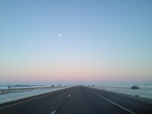
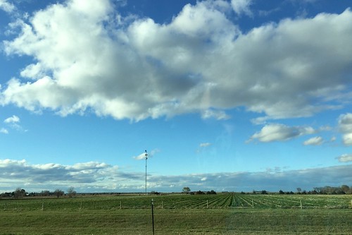
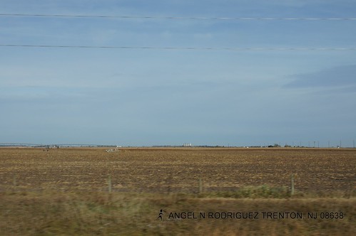
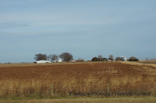
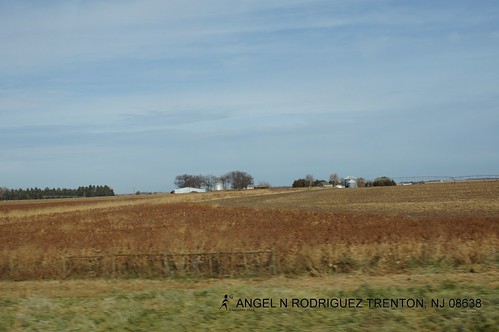
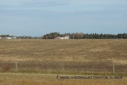
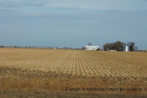
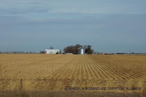
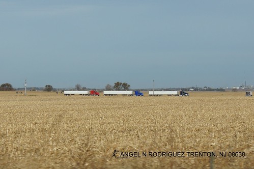
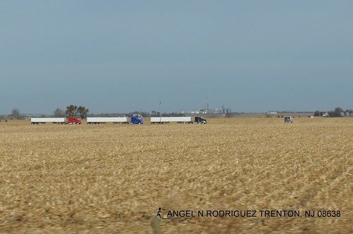
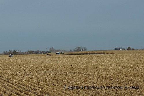
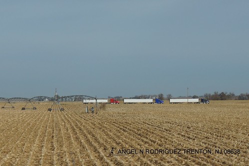
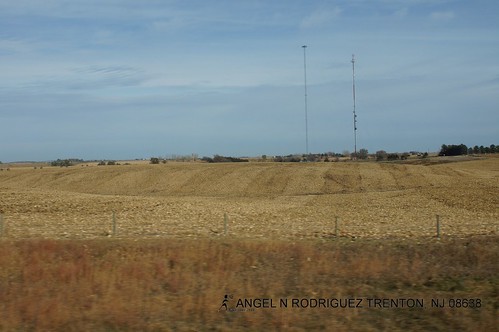
Elevation of McCool Junction, NE, USA
Location: United States > Nebraska > York County >
Longitude: -97.597549
Latitude: 40.7441762
Elevation: 474m / 1555feet
Barometric Pressure: 96KPa
Related Photos:
Topographic Map of McCool Junction, NE, USA
Find elevation by address:

Places near McCool Junction, NE, USA:
Exeter-fairmont Consolidated
Henderson
W Seneca St, Exeter, NE, USA
Exeter
Henderson
N Main St, Henderson, NE, USA
Fillmore County
Sutton
Main St, Ong, NE, USA
Ong
Logan
Clay County
Western, NE, USA
Saline County
O
Western
South Fork
North St, Alexandria, NE, USA
County Rd, Dorchester, NE, USA
Milford
Recent Searches:
- Elevation of Corso Fratelli Cairoli, 35, Macerata MC, Italy
- Elevation of Tallevast Rd, Sarasota, FL, USA
- Elevation of 4th St E, Sonoma, CA, USA
- Elevation of Black Hollow Rd, Pennsdale, PA, USA
- Elevation of Oakland Ave, Williamsport, PA, USA
- Elevation of Pedrógão Grande, Portugal
- Elevation of Klee Dr, Martinsburg, WV, USA
- Elevation of Via Roma, Pieranica CR, Italy
- Elevation of Tavkvetili Mountain, Georgia
- Elevation of Hartfords Bluff Cir, Mt Pleasant, SC, USA
