Elevation of N Main St, Henderson, NE, USA
Location: United States > Nebraska >
Longitude: -97.812290
Latitude: 40.7798178
Elevation: 524m / 1719feet
Barometric Pressure: 95KPa
Elevation Map:
Satellite Map:
Related Photos:

Bradshaw, Nebraska

20110620-IMG_8108

20110620-IMG_8089

Stay Aware

Nothing...#lowmorale

Hampton, Nebraska

Hampton, Nebraska

Nebraska Sunrise

Dusk at York
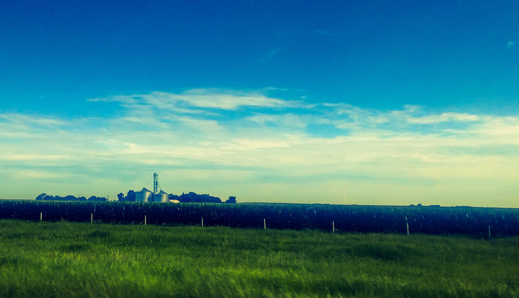
A Nebraska farm.
Topographic Map of N Main St, Henderson, NE, USA
Find elevation by address:

Places near N Main St, Henderson, NE, USA:
Henderson
Henderson
Sutton
Mccool Junction
Clay County
Exeter-fairmont Consolidated
Main St, Ong, NE, USA
Ong
W Seneca St, Exeter, NE, USA
Exeter
Logan
Fillmore County
2595 N Pawnee Ave
Ieh
Blaine
N Hansen Ave, Hastings, NE, USA
Hastings, NE, USA
3101 Osborne Dr W
322 W 7th St
500 W 7th St
Recent Searches:
- Elevation of Corso Fratelli Cairoli, 35, Macerata MC, Italy
- Elevation of Tallevast Rd, Sarasota, FL, USA
- Elevation of 4th St E, Sonoma, CA, USA
- Elevation of Black Hollow Rd, Pennsdale, PA, USA
- Elevation of Oakland Ave, Williamsport, PA, USA
- Elevation of Pedrógão Grande, Portugal
- Elevation of Klee Dr, Martinsburg, WV, USA
- Elevation of Via Roma, Pieranica CR, Italy
- Elevation of Tavkvetili Mountain, Georgia
- Elevation of Hartfords Bluff Cir, Mt Pleasant, SC, USA