Elevation of Milford, NE, USA
Location: United States > Nebraska > Seward County > O >
Longitude: -97.050588
Latitude: 40.7744509
Elevation: 443m / 1453feet
Barometric Pressure: 96KPa
Elevation Map:
Satellite Map:
Related Photos:

sculpture 2

painting 2
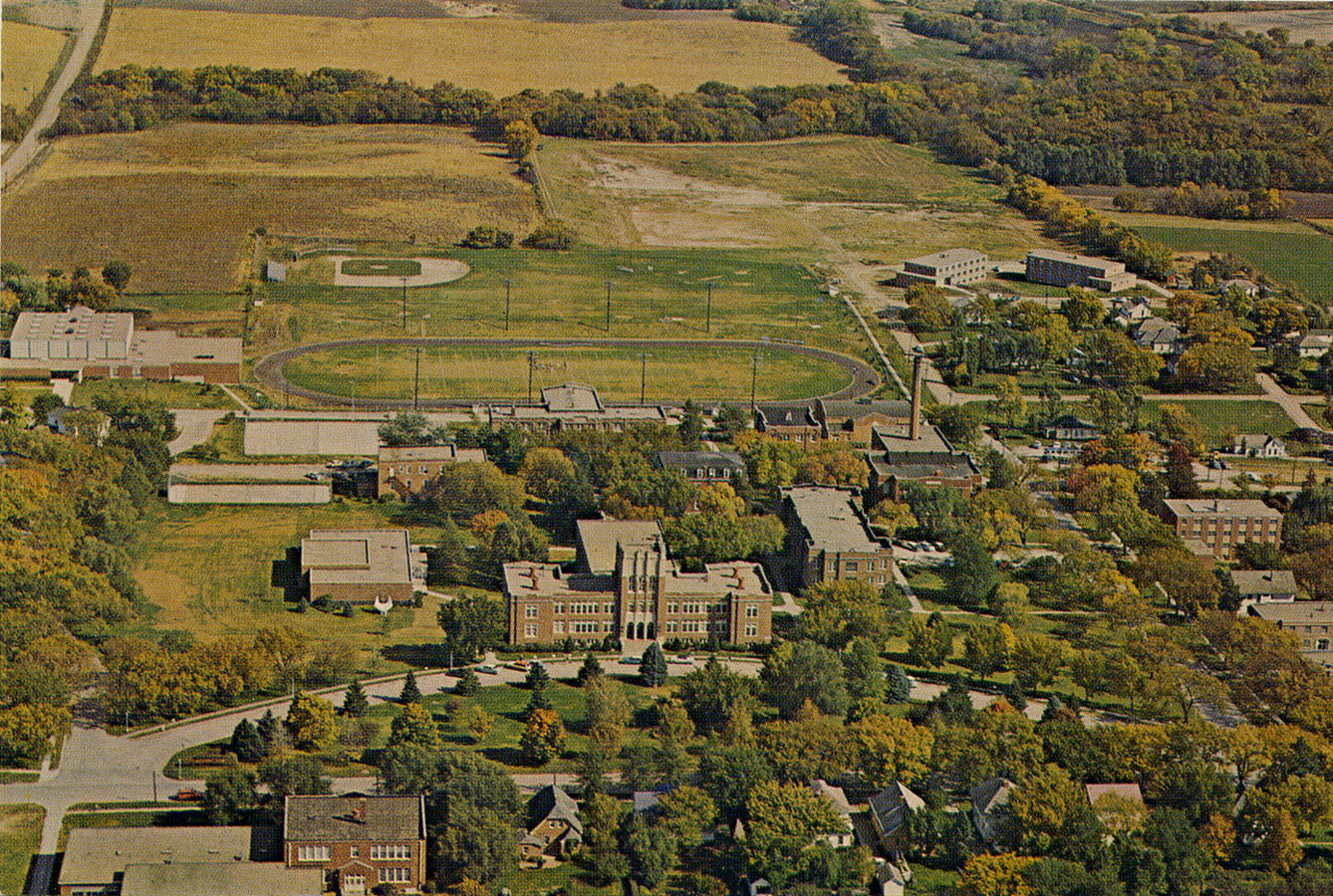
Aerial Photograph (old color) of Concordia Teachers College in Seward, Nebraska
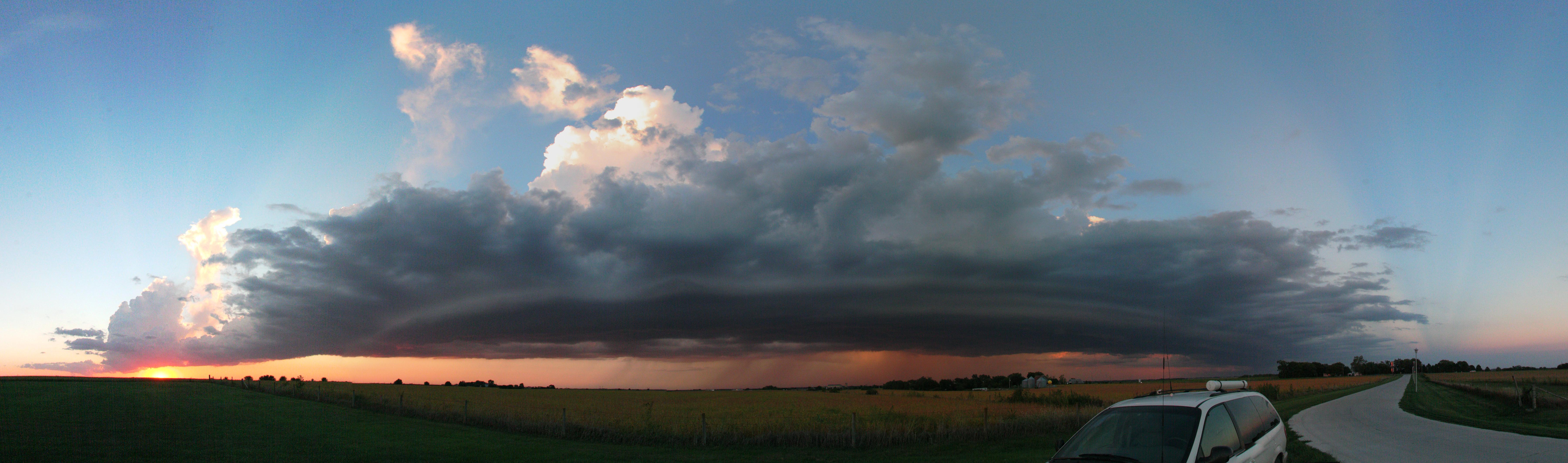
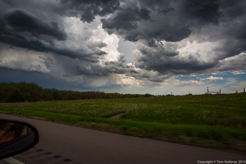
Storm_9-15-2010_01

Roof Detail (side view) of the Old St John Lutheran Church in Seward, Nebraska
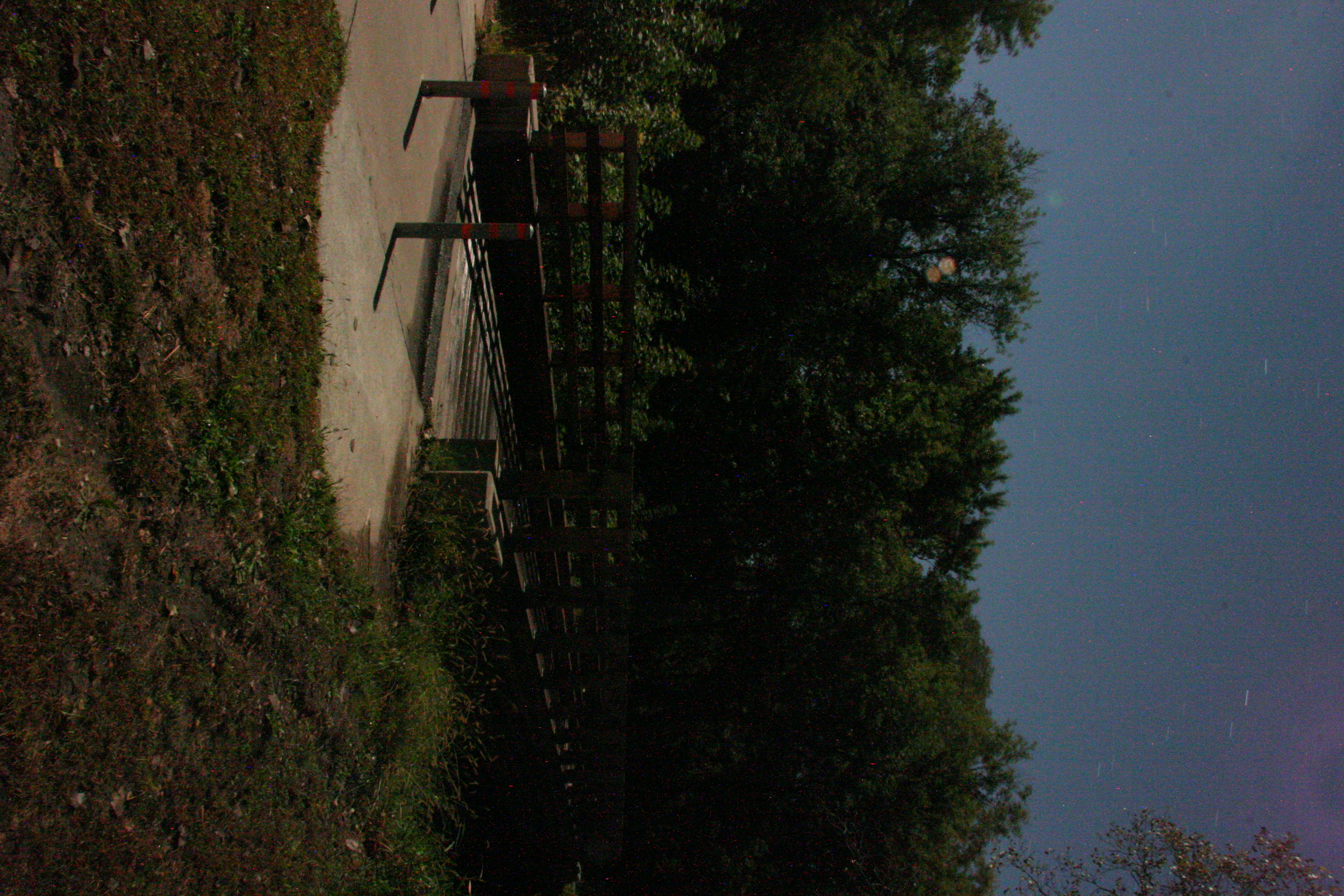
Bridge By Moonlight

painting 6

IMG_6864 3

Nebraska Sunset Sept '13 13

Nebraska Sunset Sept '13 4

Fall Sunset

Midwest Sunset

World Peace Mural (detail)

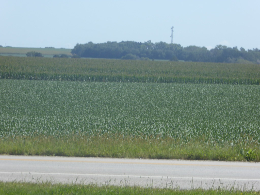
#ridesteel #ridegravel #unlearnpavement

Holstein in the Evening 2

Holstein in the Evening
11 September 2015 Nebraska (52)
Second Storm Cell
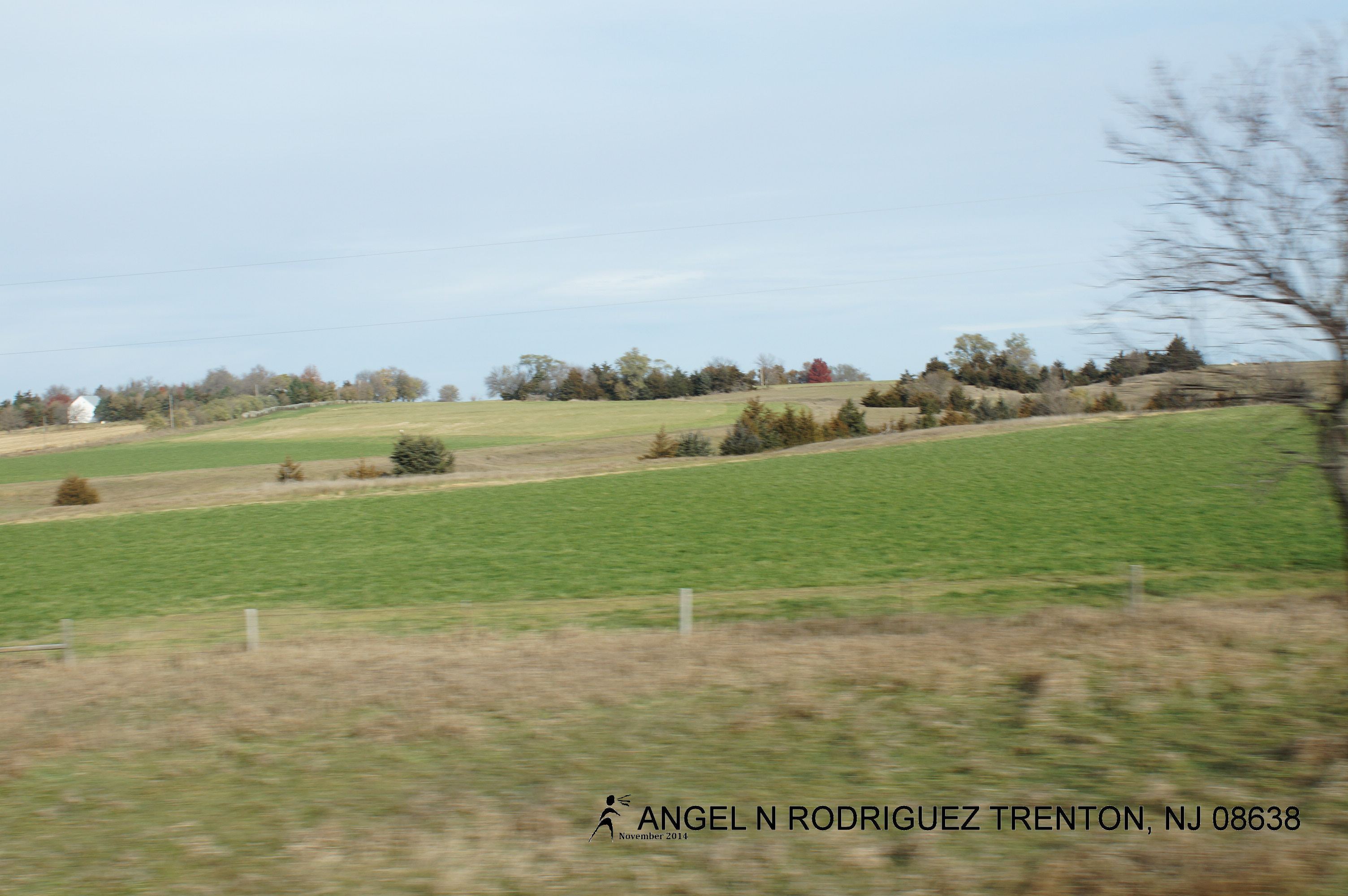
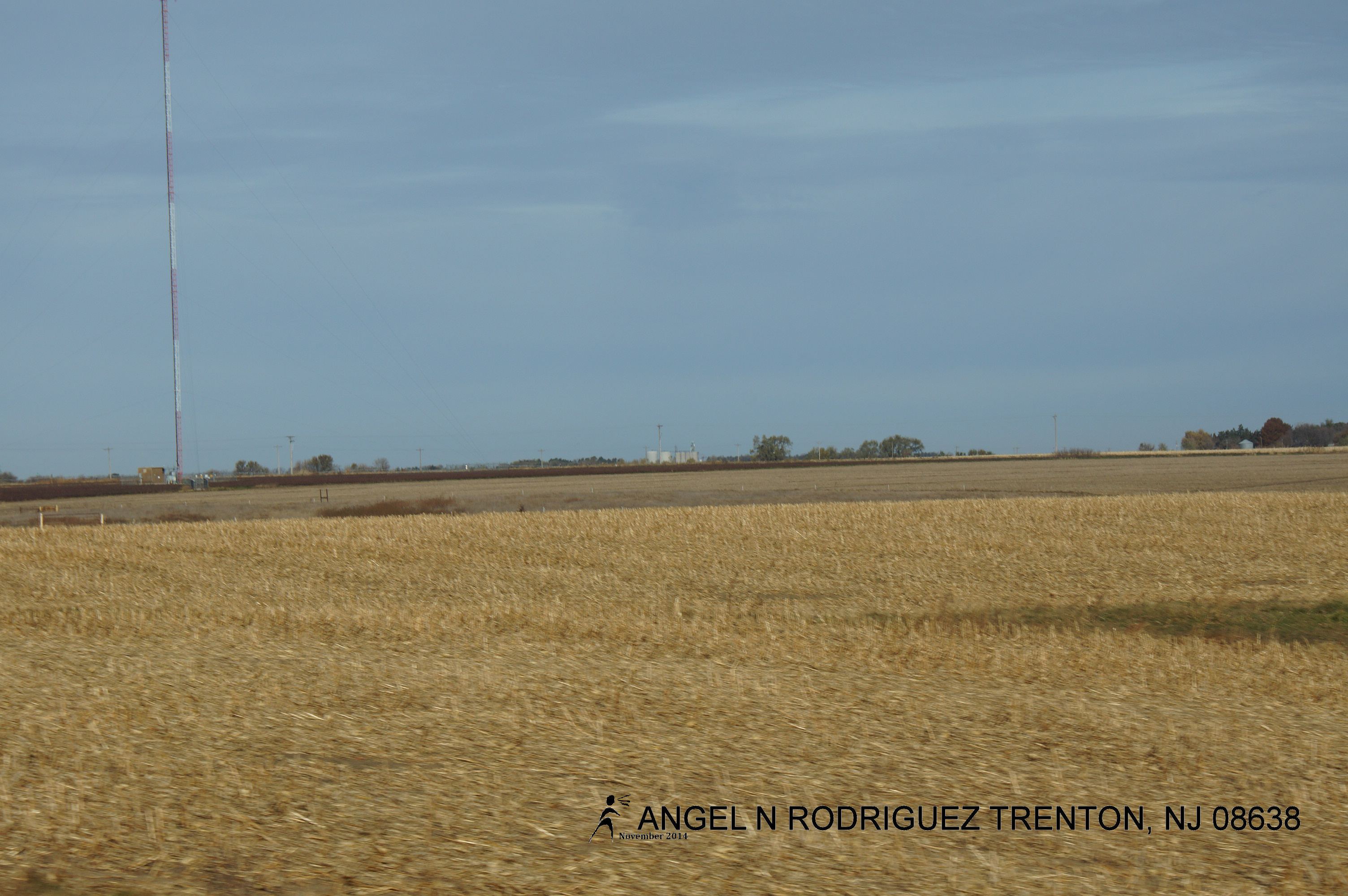
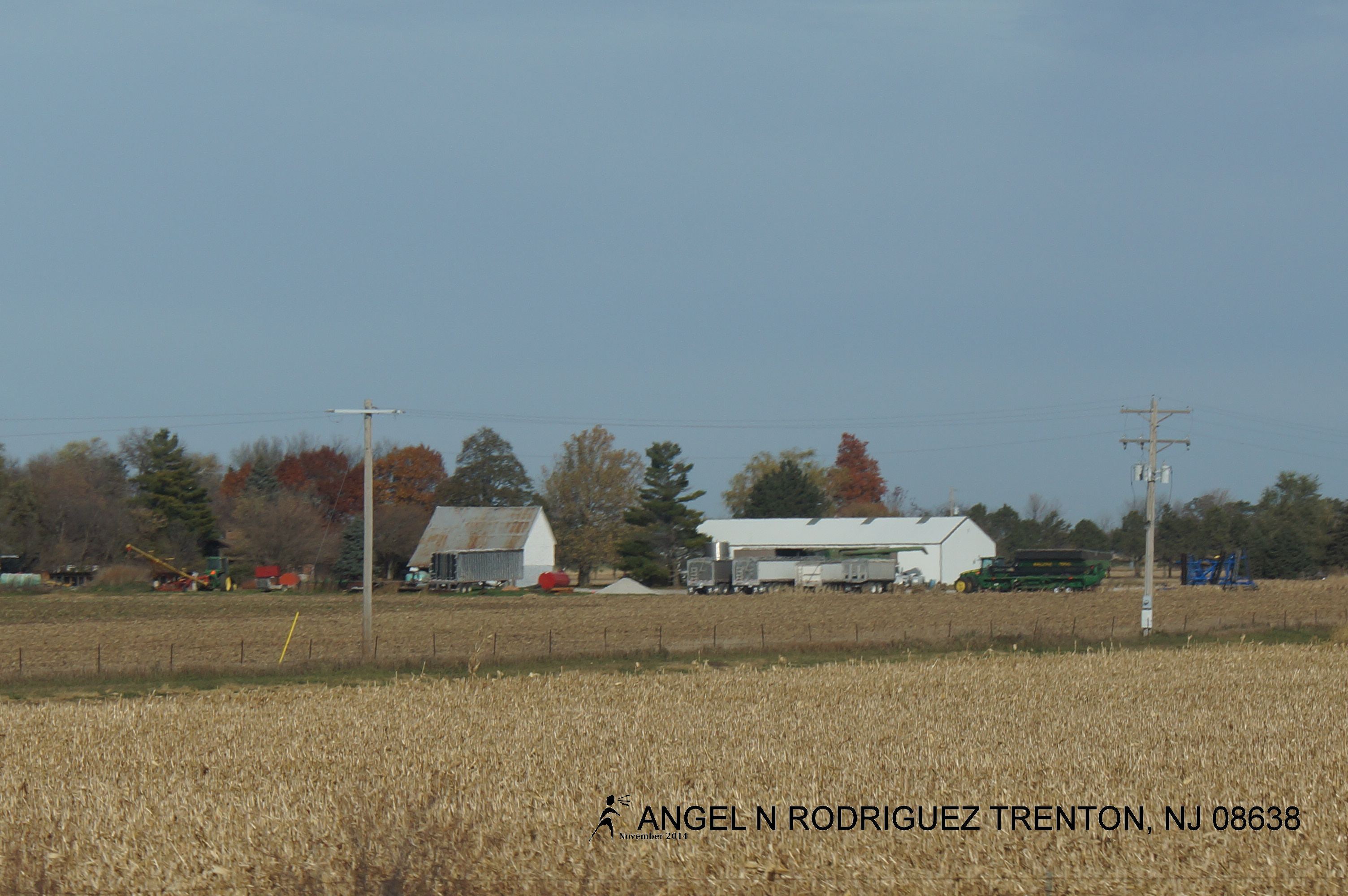
From West to East
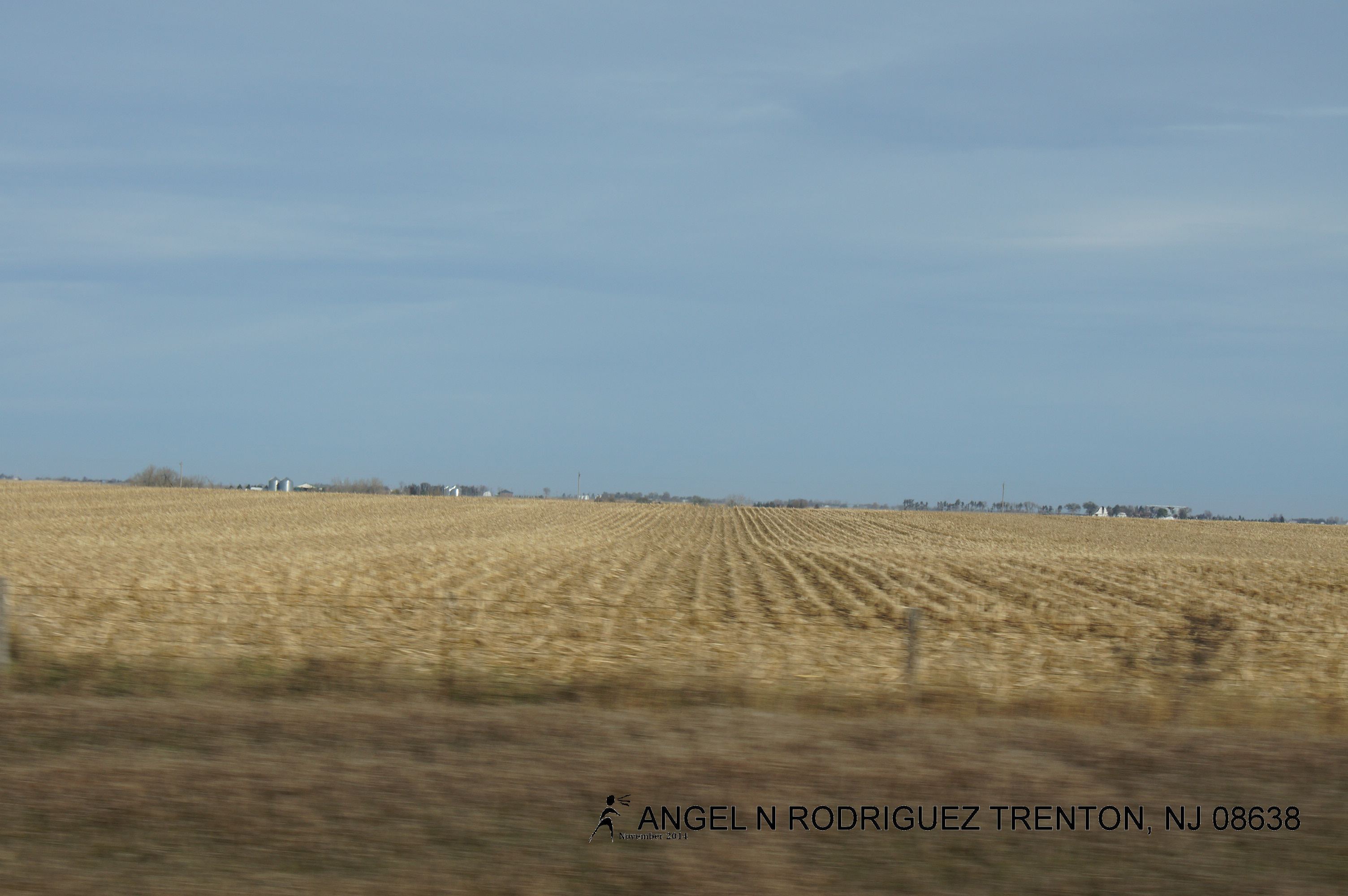
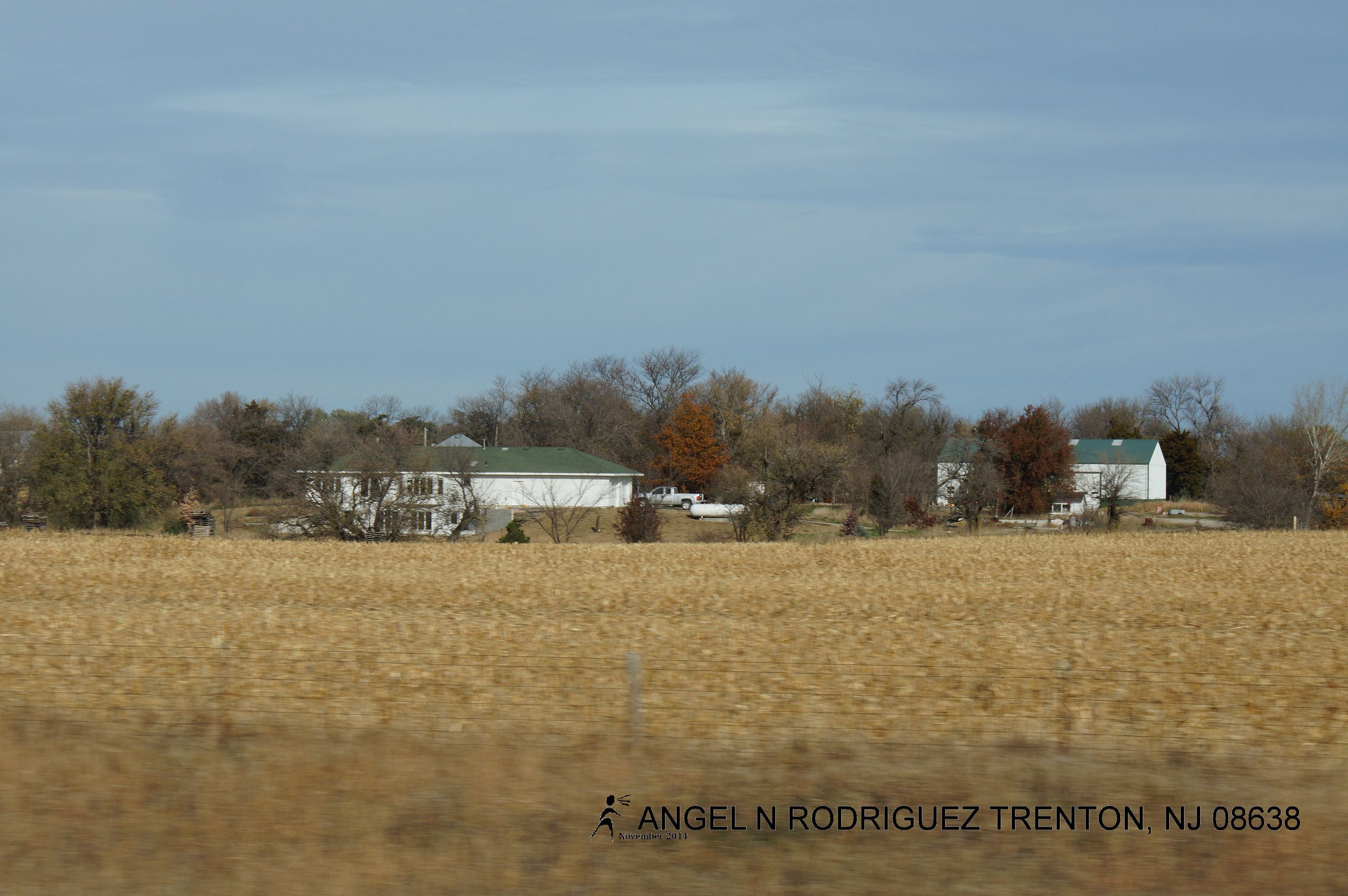
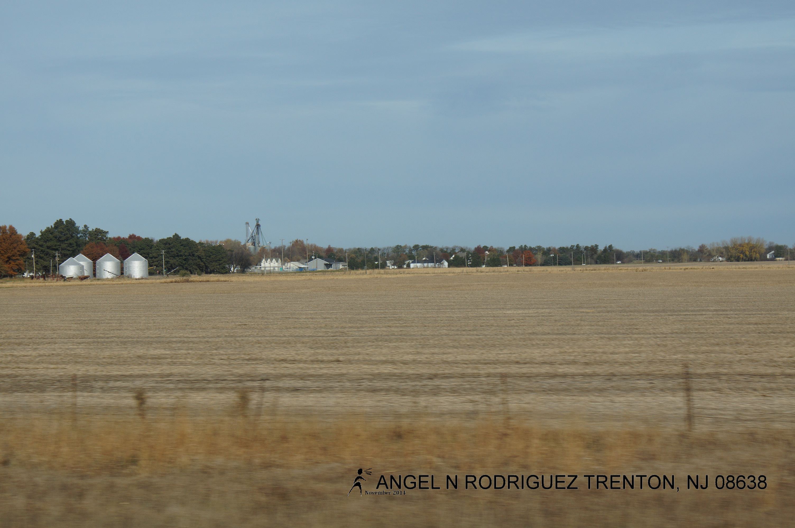
From West to East
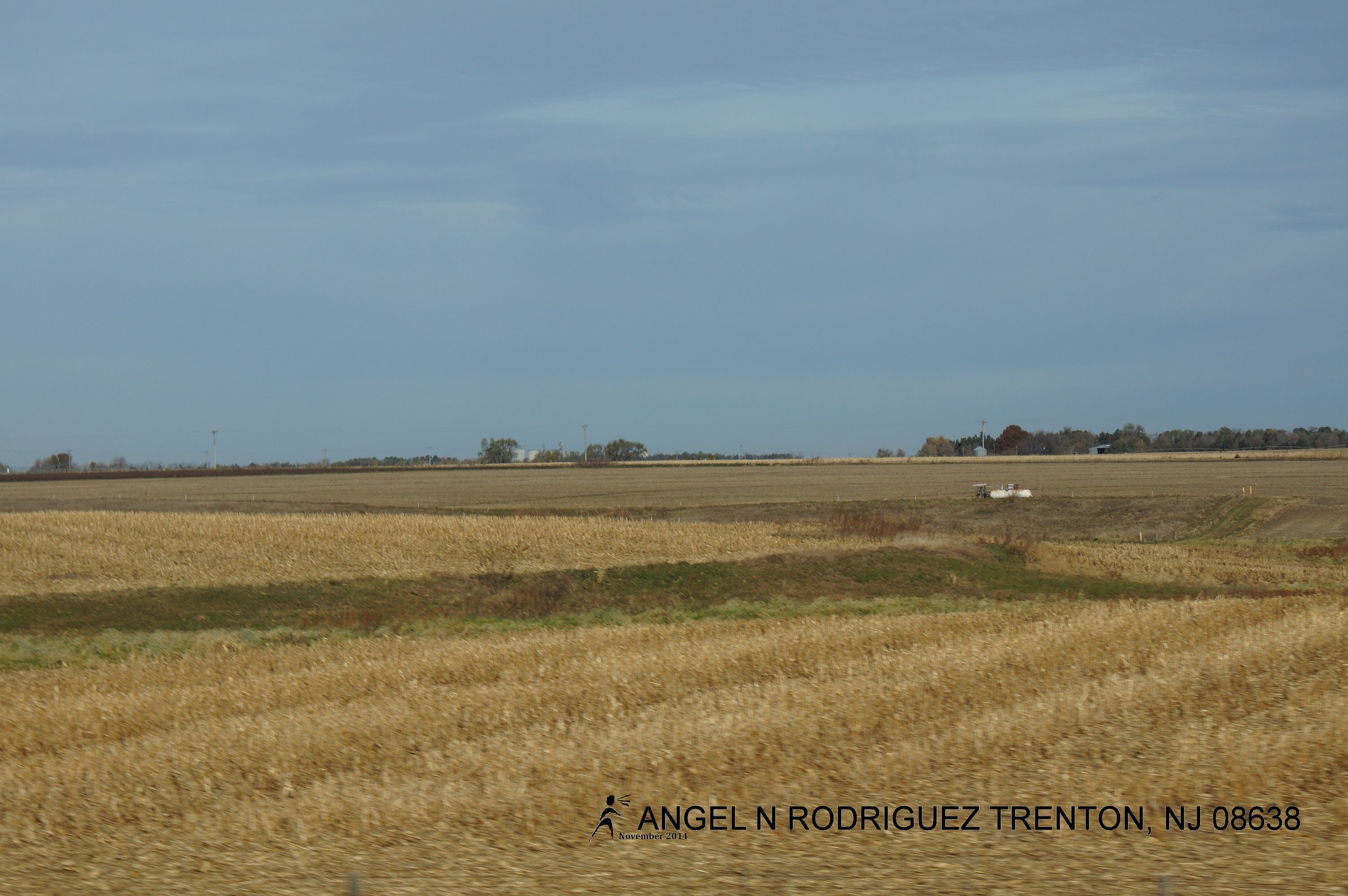
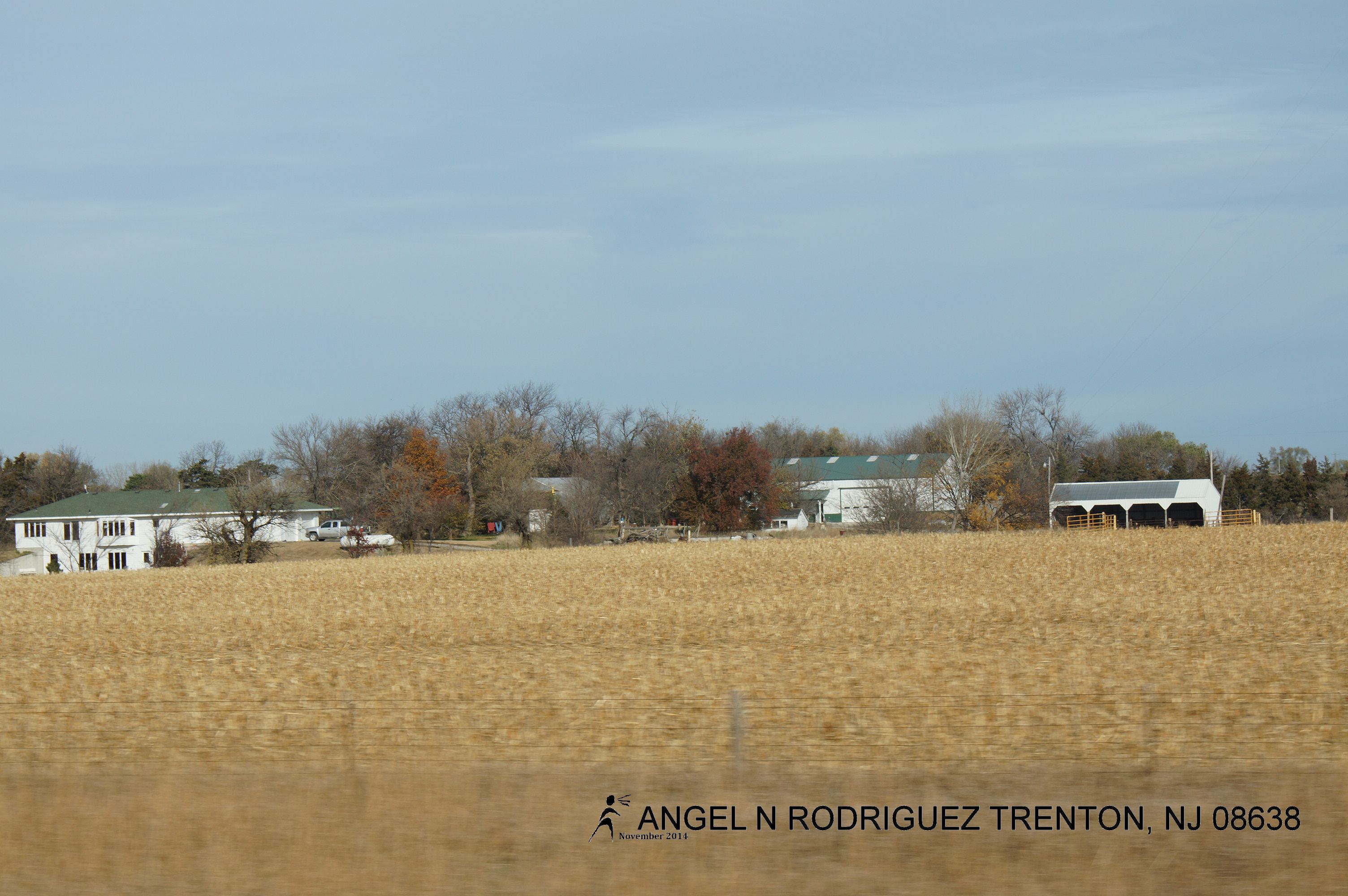
From West to East
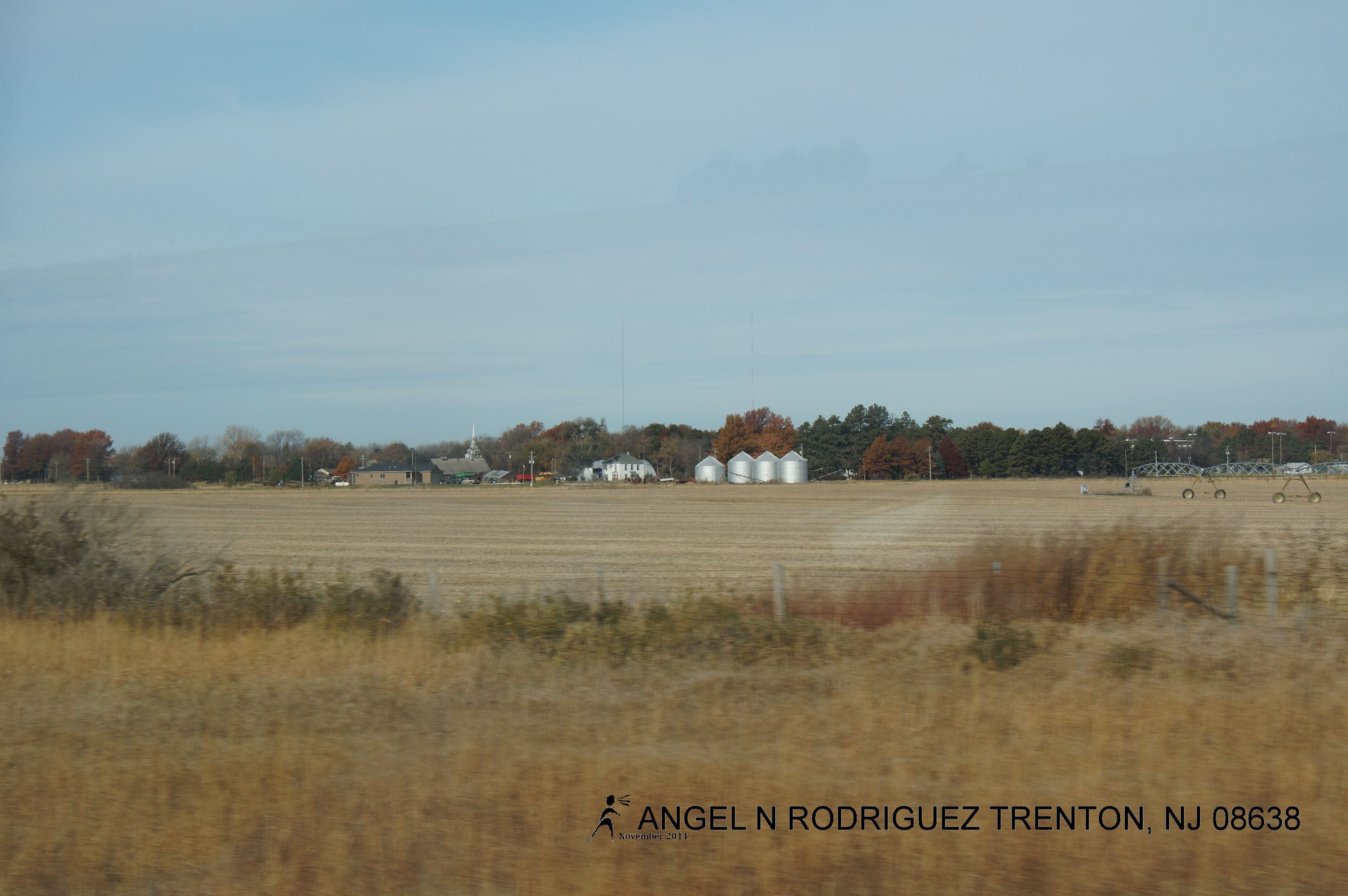
From West to East
From West to East
From West to East
From West to East
From West to East

From West to East
From West to East
Topographic Map of Milford, NE, USA
Find elevation by address:

Places in Milford, NE, USA:
Places near Milford, NE, USA:
Reynolds Rd, Milford, NE, USA
O
County Rd, Dorchester, NE, USA
Saline County
Western, NE, USA
Western
South Fork
Exeter
W Seneca St, Exeter, NE, USA
Exeter-fairmont Consolidated
Mccool Junction
Fillmore County
Jefferson County
North St, Alexandria, NE, USA
24th St & H St
Fairbury
E St, Fairbury, NE, USA
Alexandria
NE-8, Steele City, NE, USA
Steele City Canyon
Recent Searches:
- Elevation of Corso Fratelli Cairoli, 35, Macerata MC, Italy
- Elevation of Tallevast Rd, Sarasota, FL, USA
- Elevation of 4th St E, Sonoma, CA, USA
- Elevation of Black Hollow Rd, Pennsdale, PA, USA
- Elevation of Oakland Ave, Williamsport, PA, USA
- Elevation of Pedrógão Grande, Portugal
- Elevation of Klee Dr, Martinsburg, WV, USA
- Elevation of Via Roma, Pieranica CR, Italy
- Elevation of Tavkvetili Mountain, Georgia
- Elevation of Hartfords Bluff Cir, Mt Pleasant, SC, USA