Elevation of Seward County, NE, USA
Location: United States > Nebraska >
Longitude: -97.098464
Latitude: 40.9078649
Elevation: 455m / 1493feet
Barometric Pressure: 96KPa
Elevation Map:
Satellite Map:
Related Photos:

Garland, Nebraska, USA.jpg
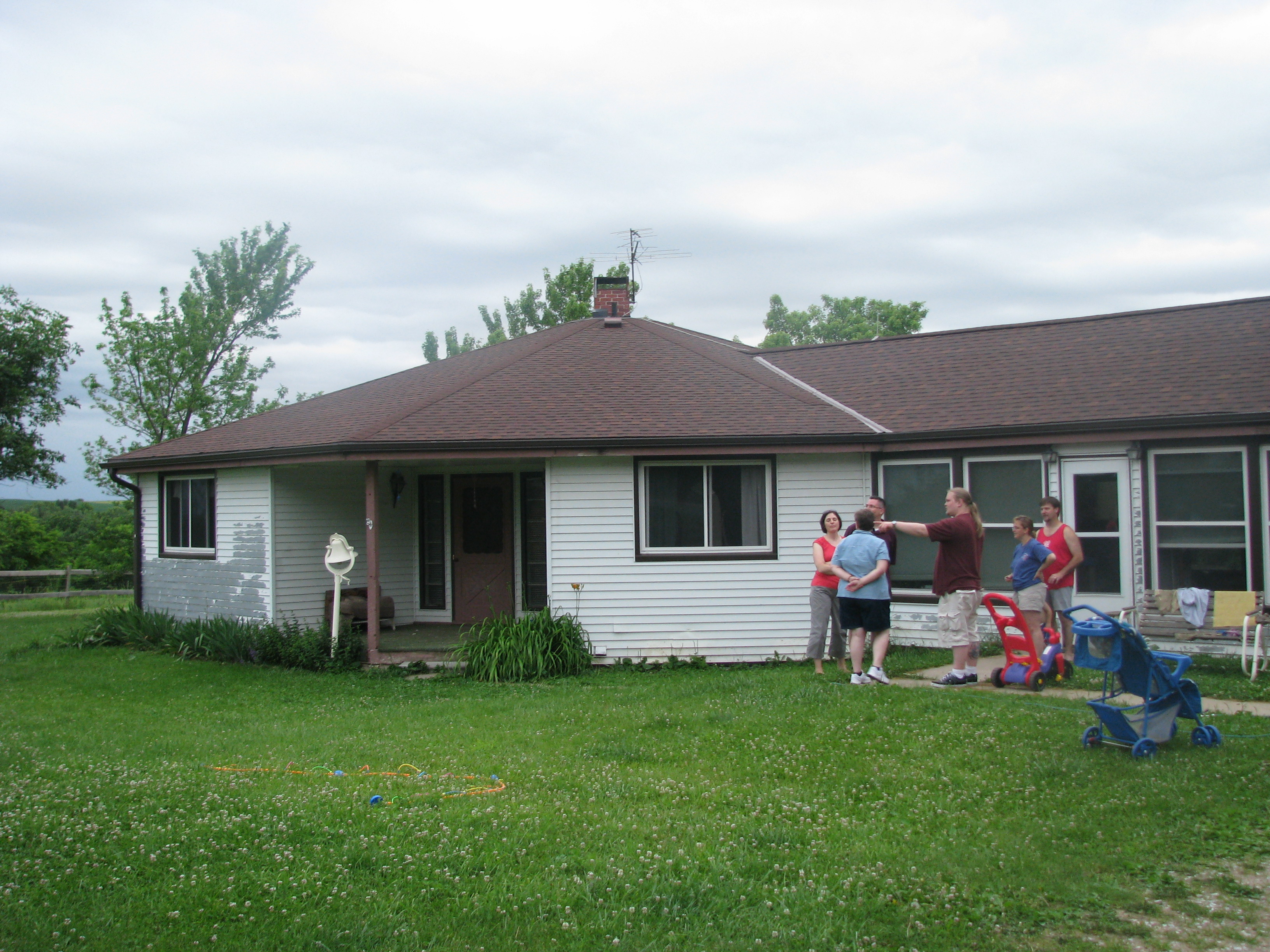
Octagonal house where John grew up
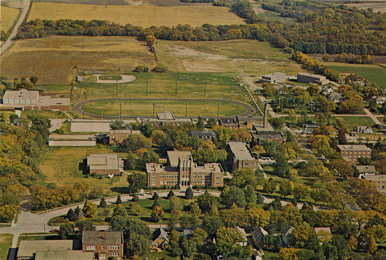
Aerial Photograph (old color) of Concordia Teachers College in Seward, Nebraska
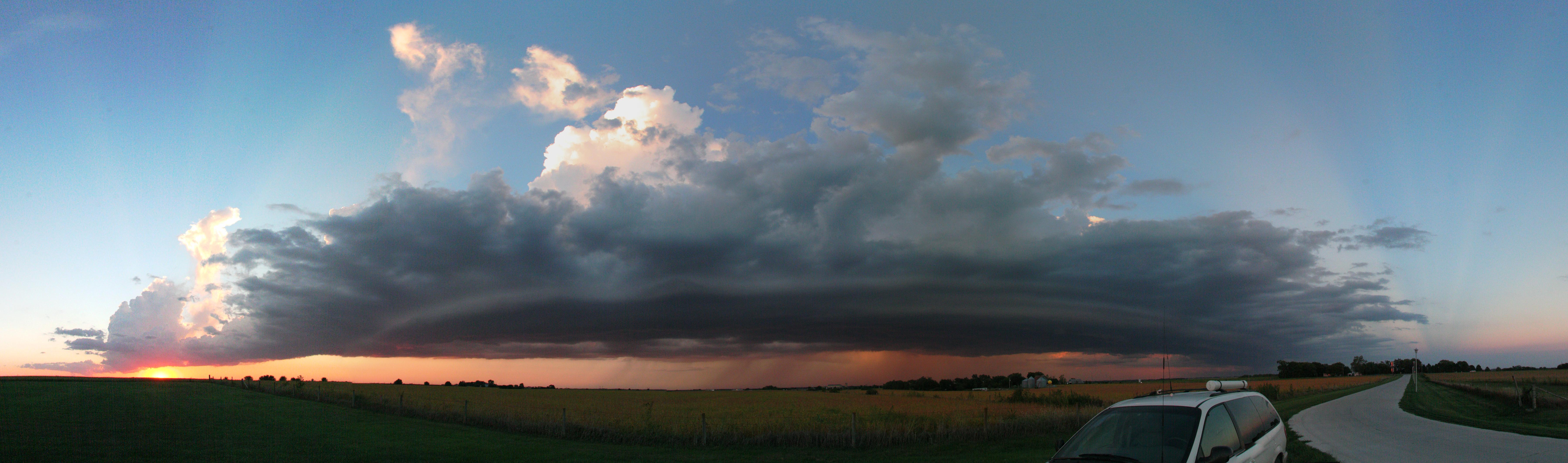
Storm_9-15-2010_01
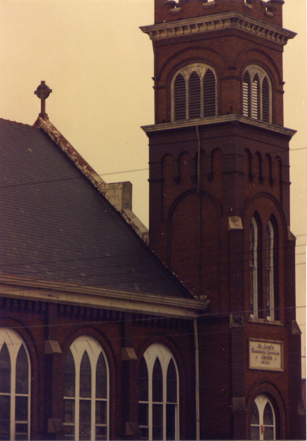
Roof Detail (side view) of the Old St John Lutheran Church in Seward, Nebraska
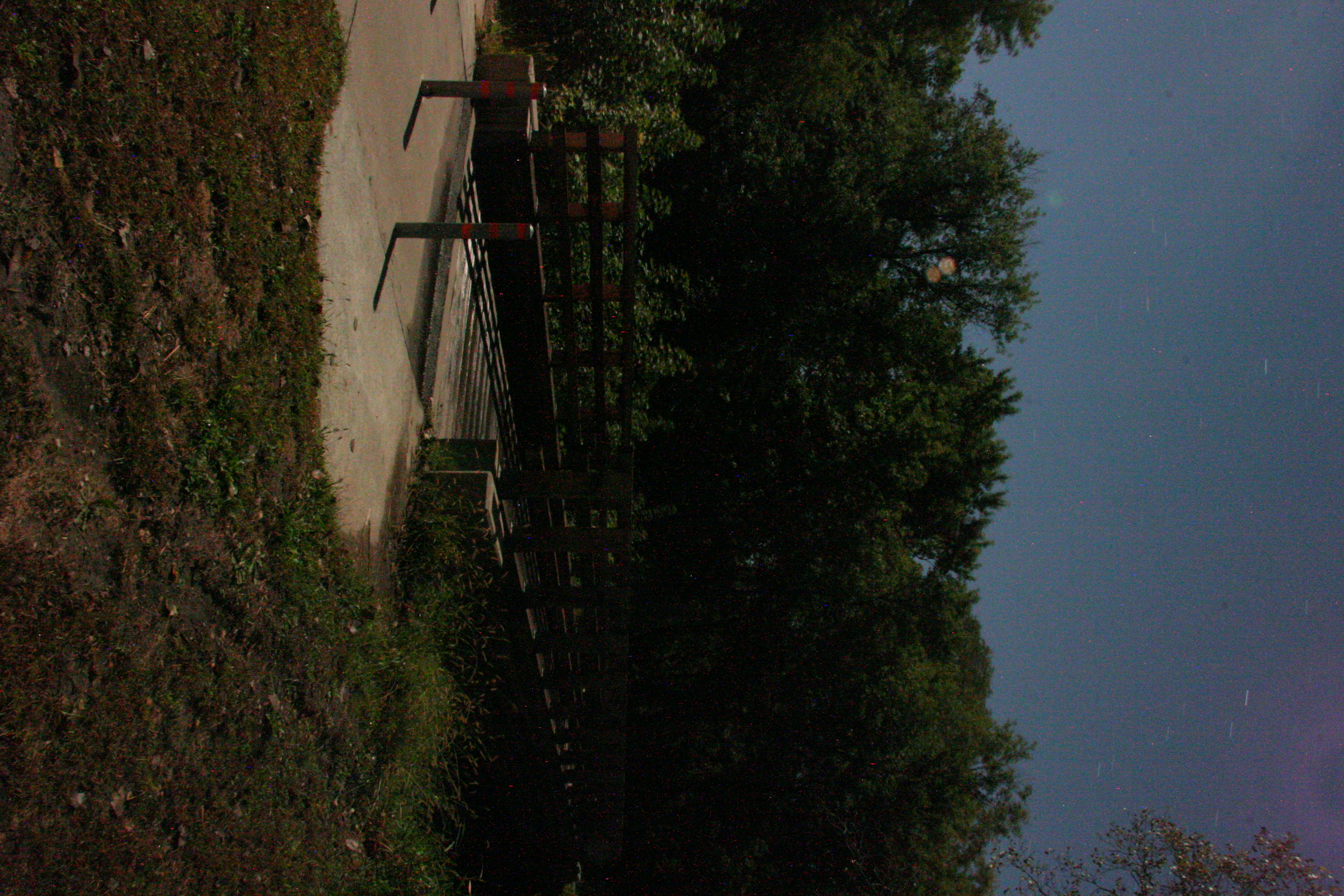
Bridge By Moonlight

DSC_8423.jpg

Midwest Sunset

DSC_8424.jpg
11 September 2015 Nebraska (52)
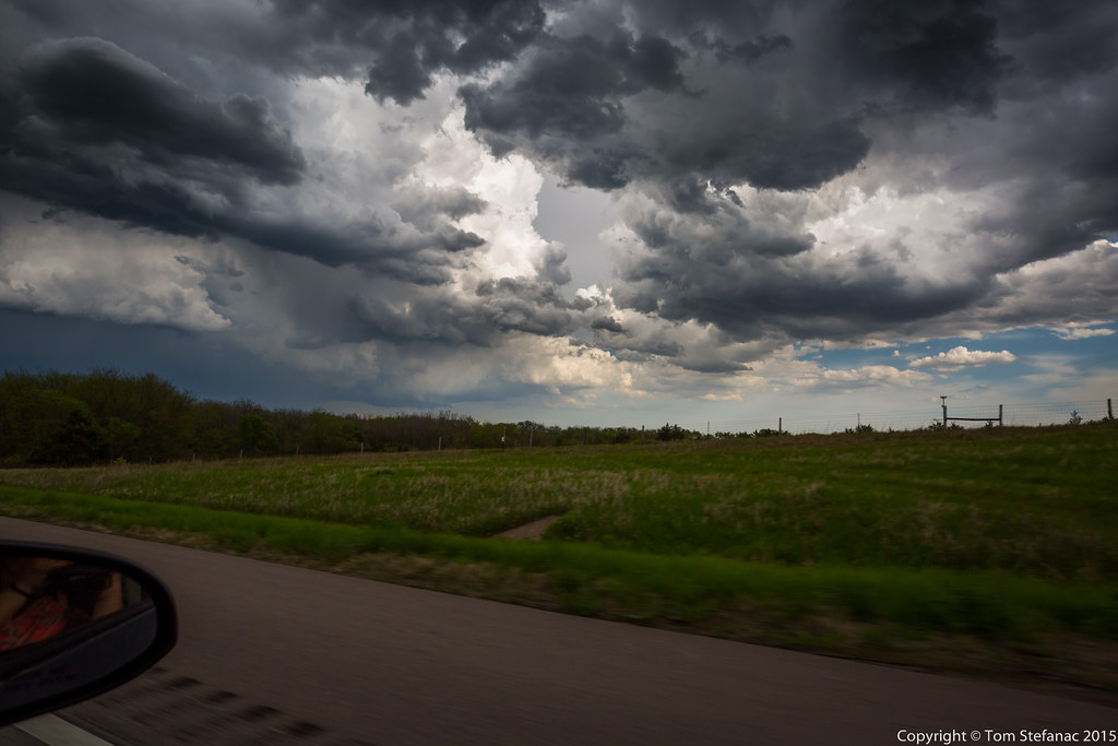
Second Storm Cell
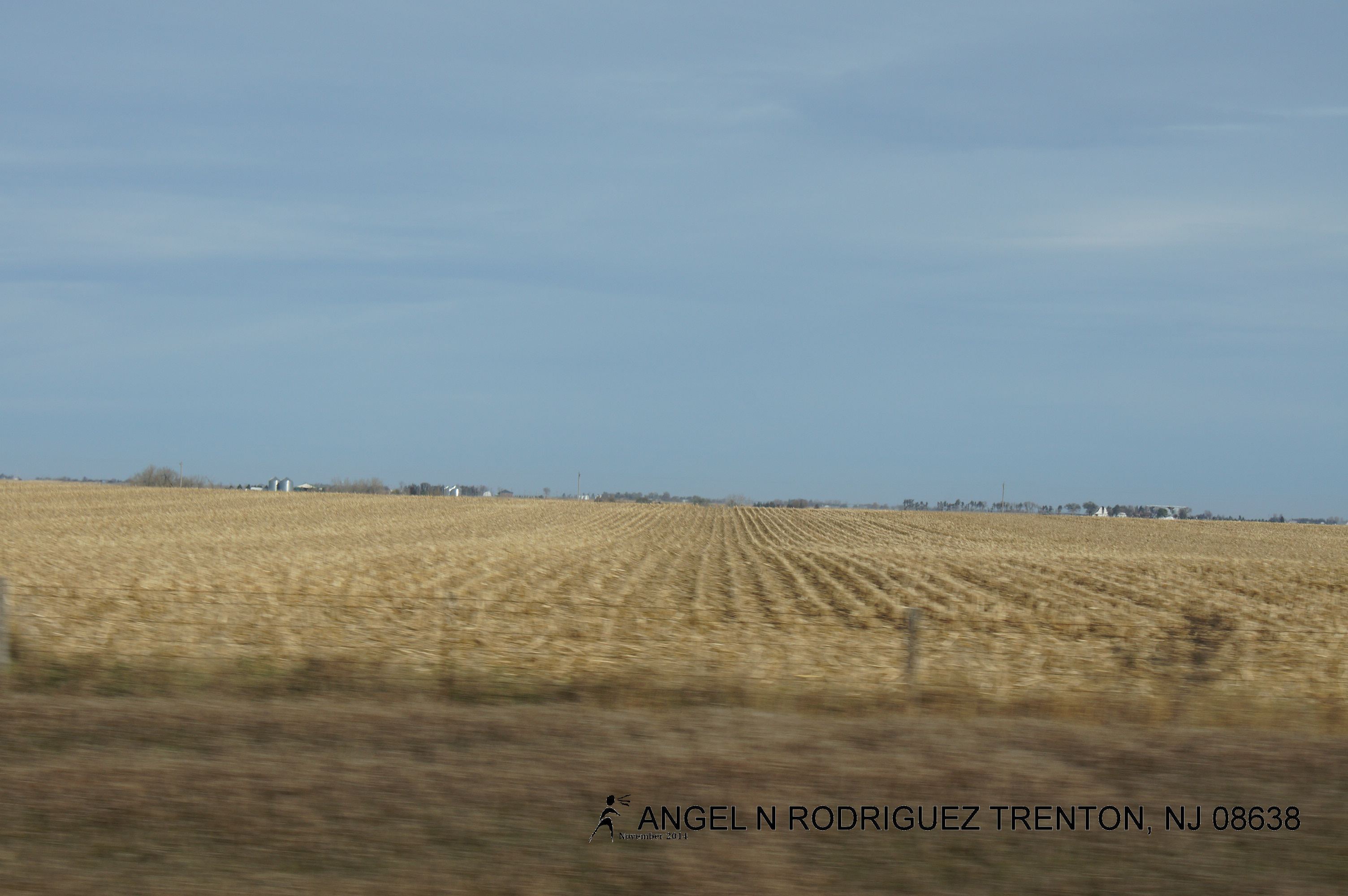
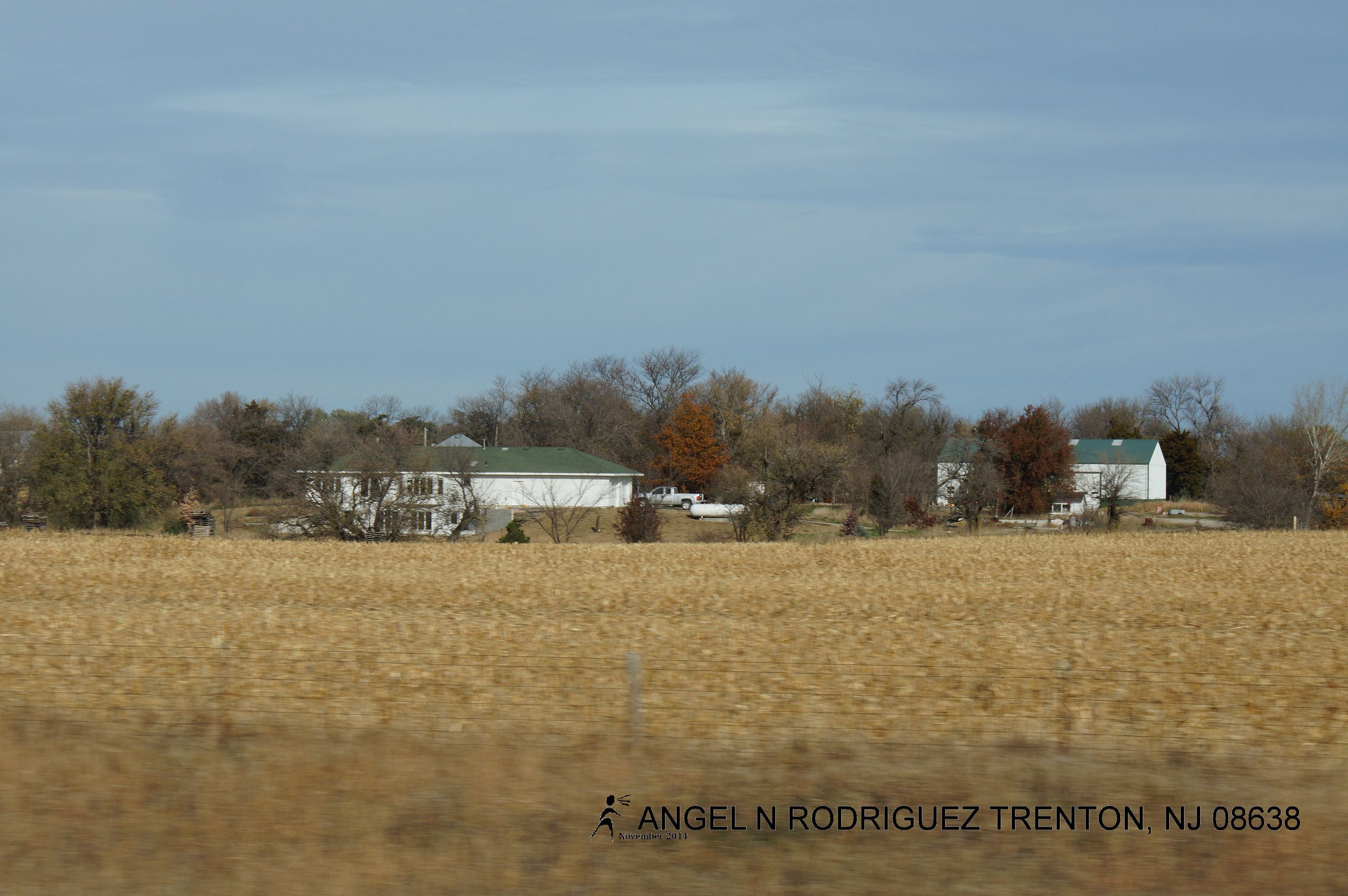
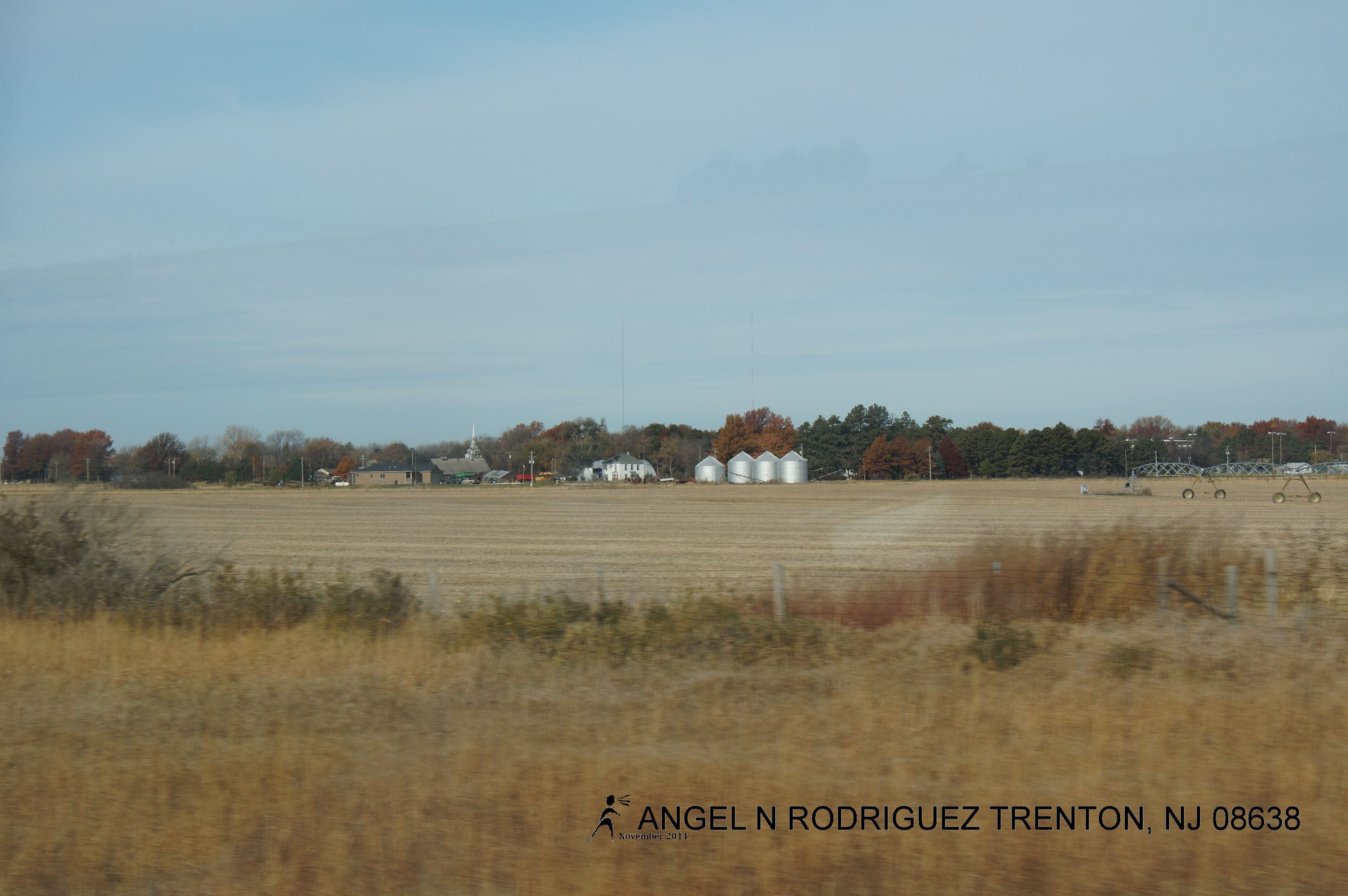
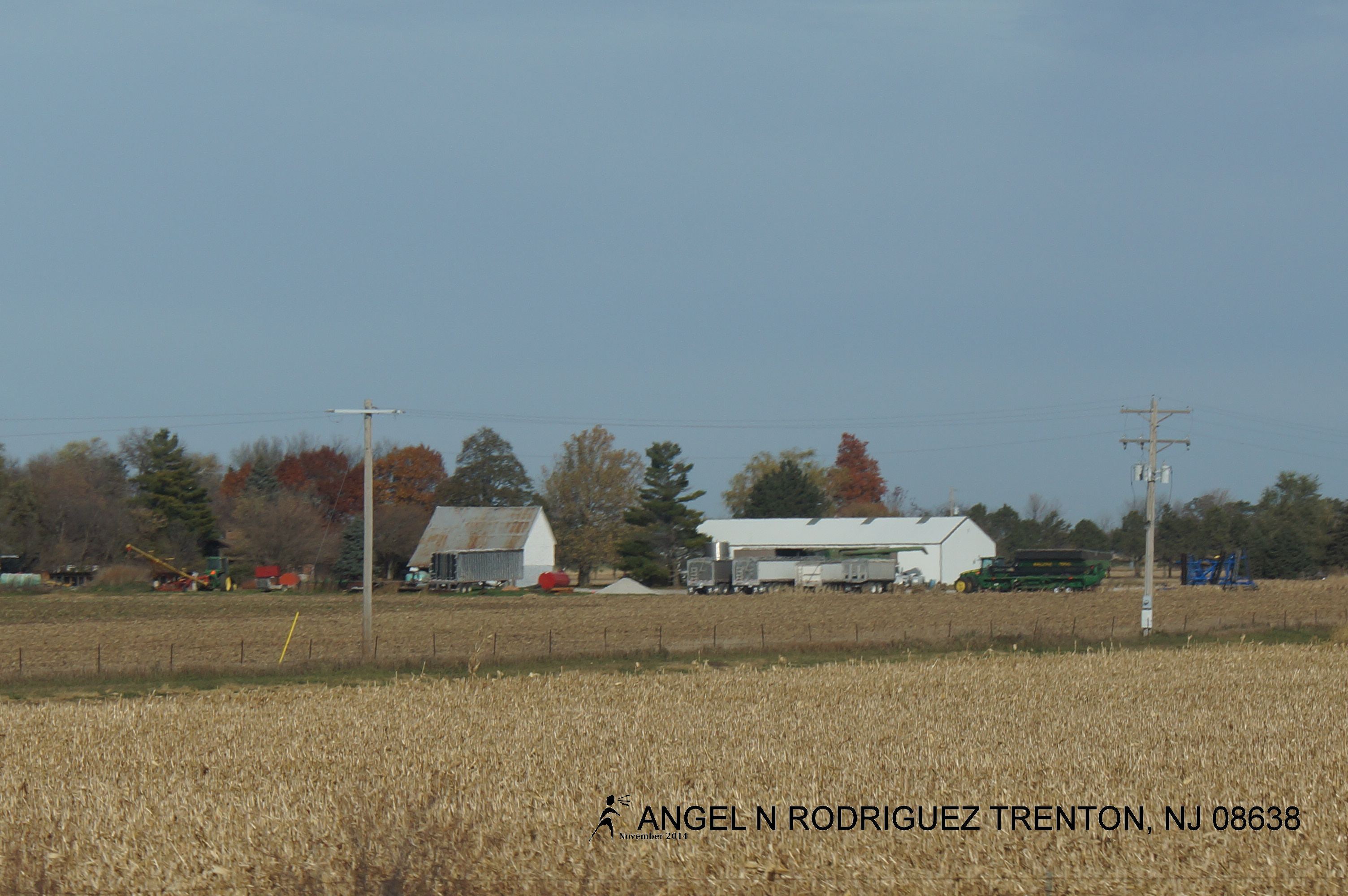
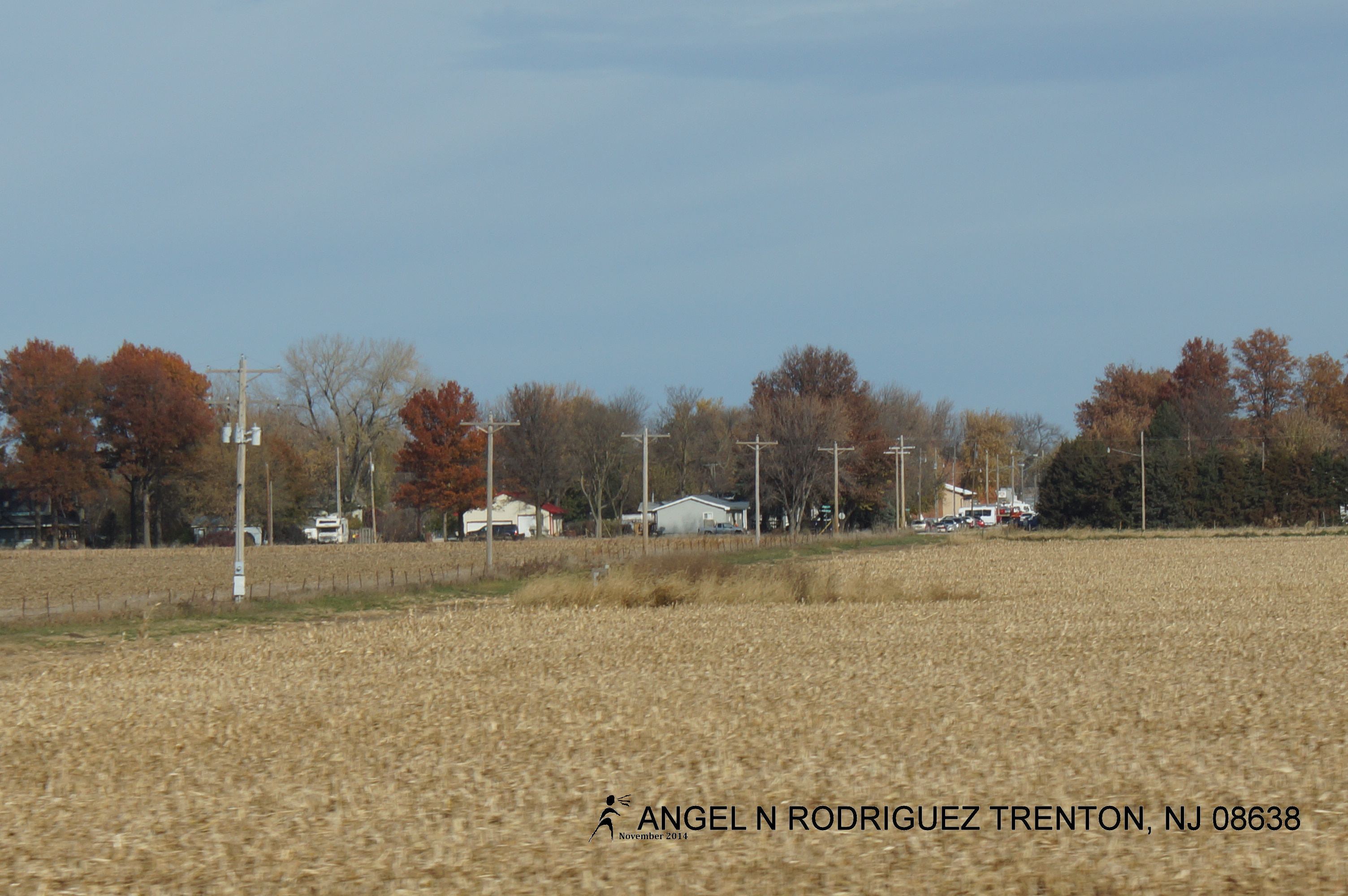
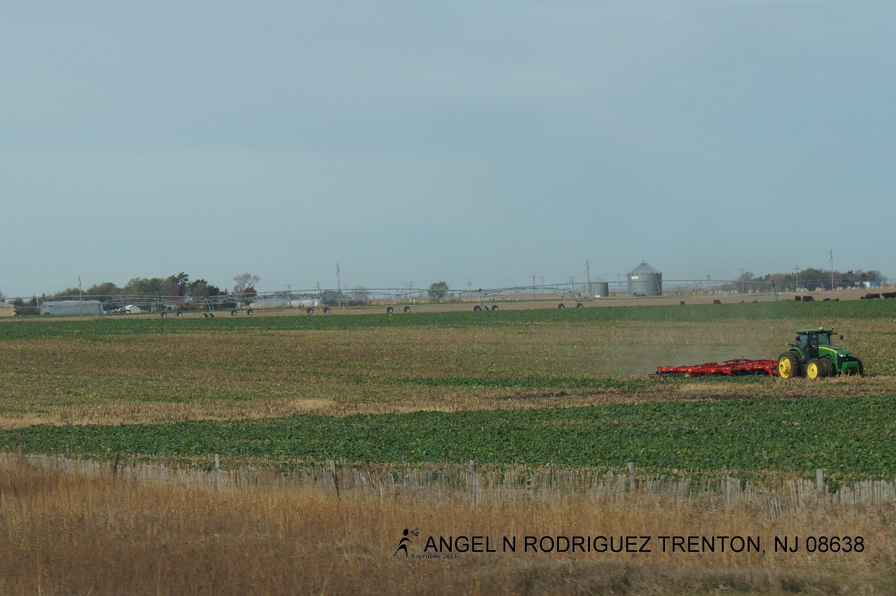
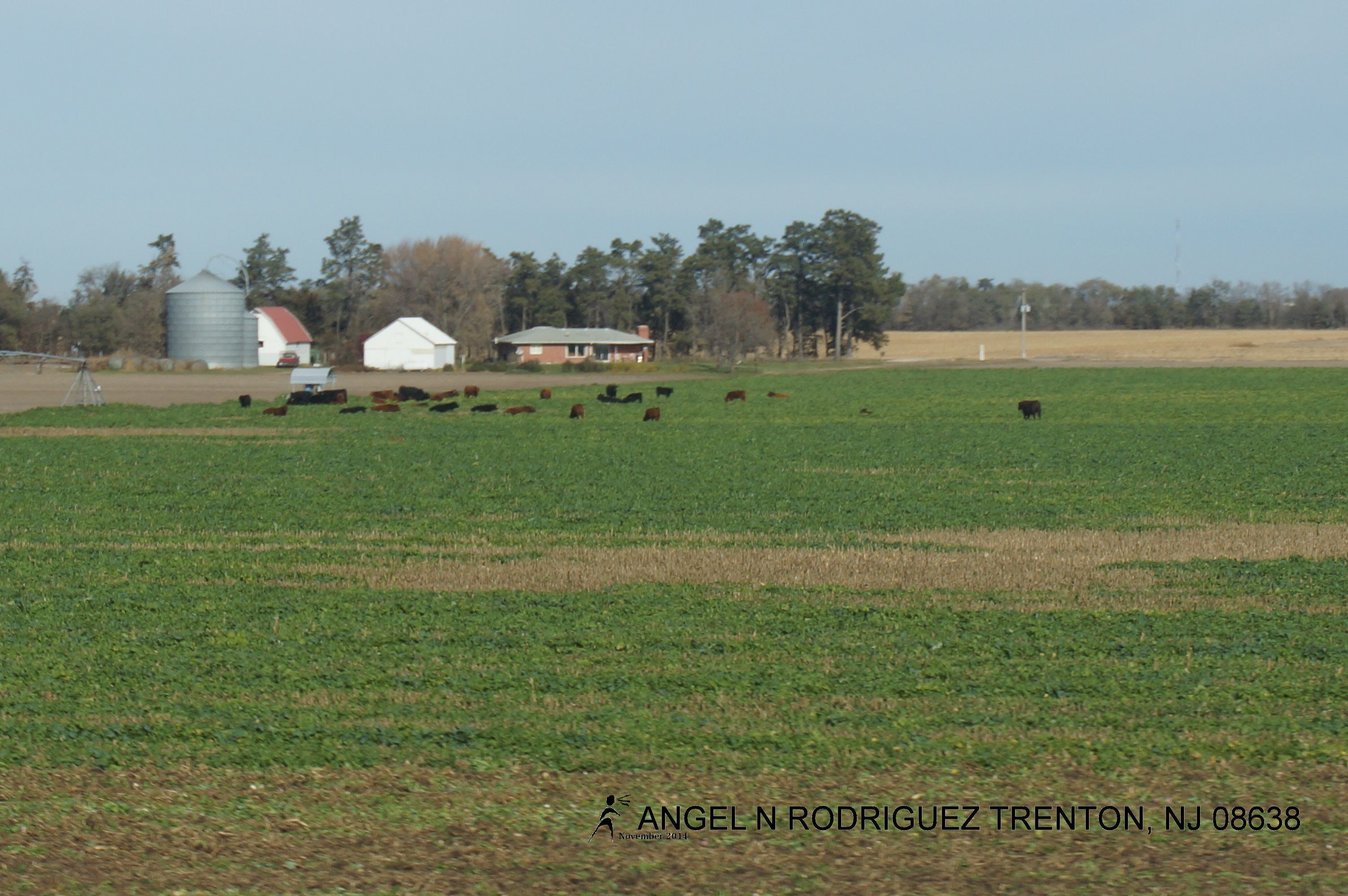
From West to East
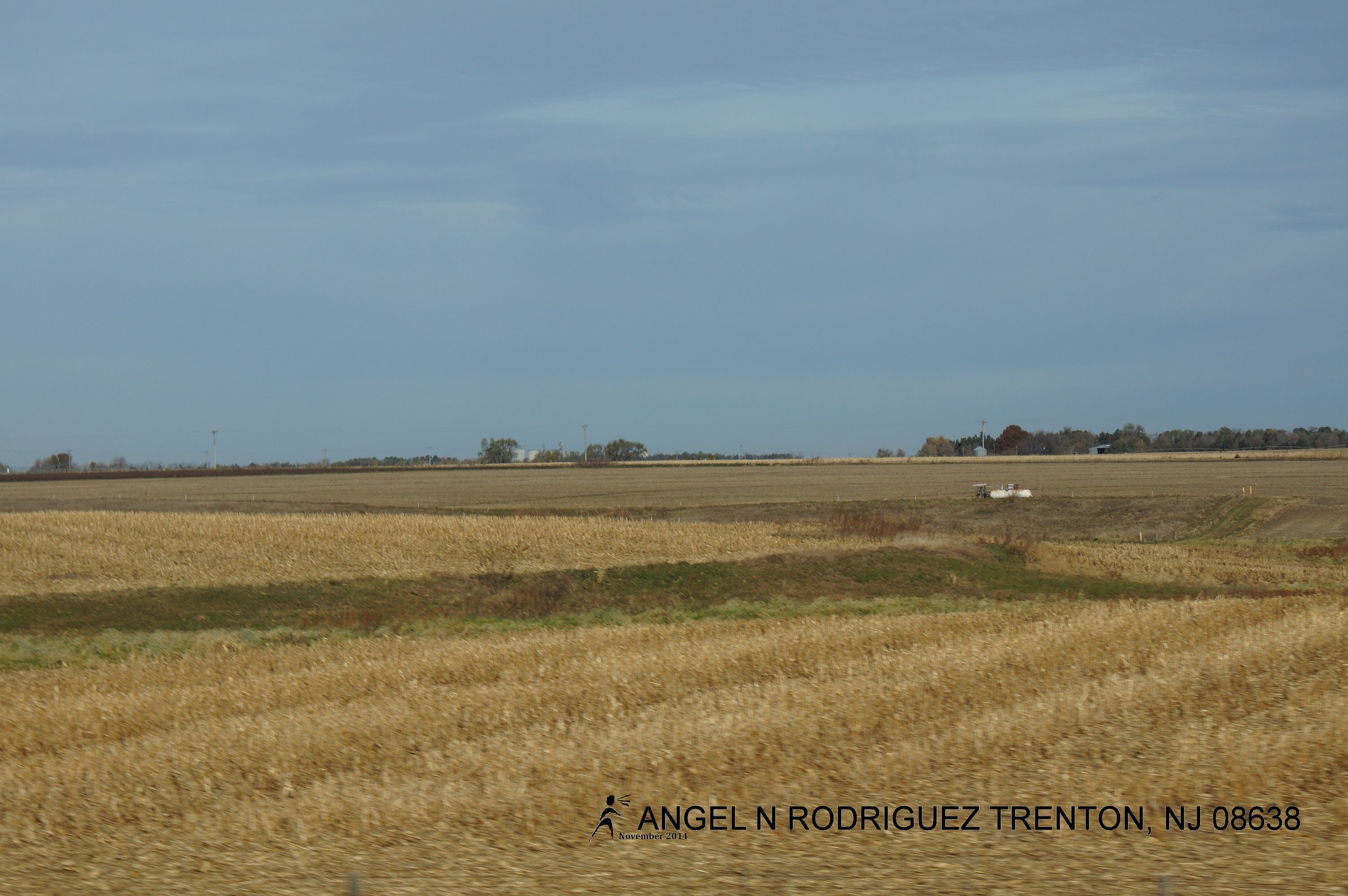
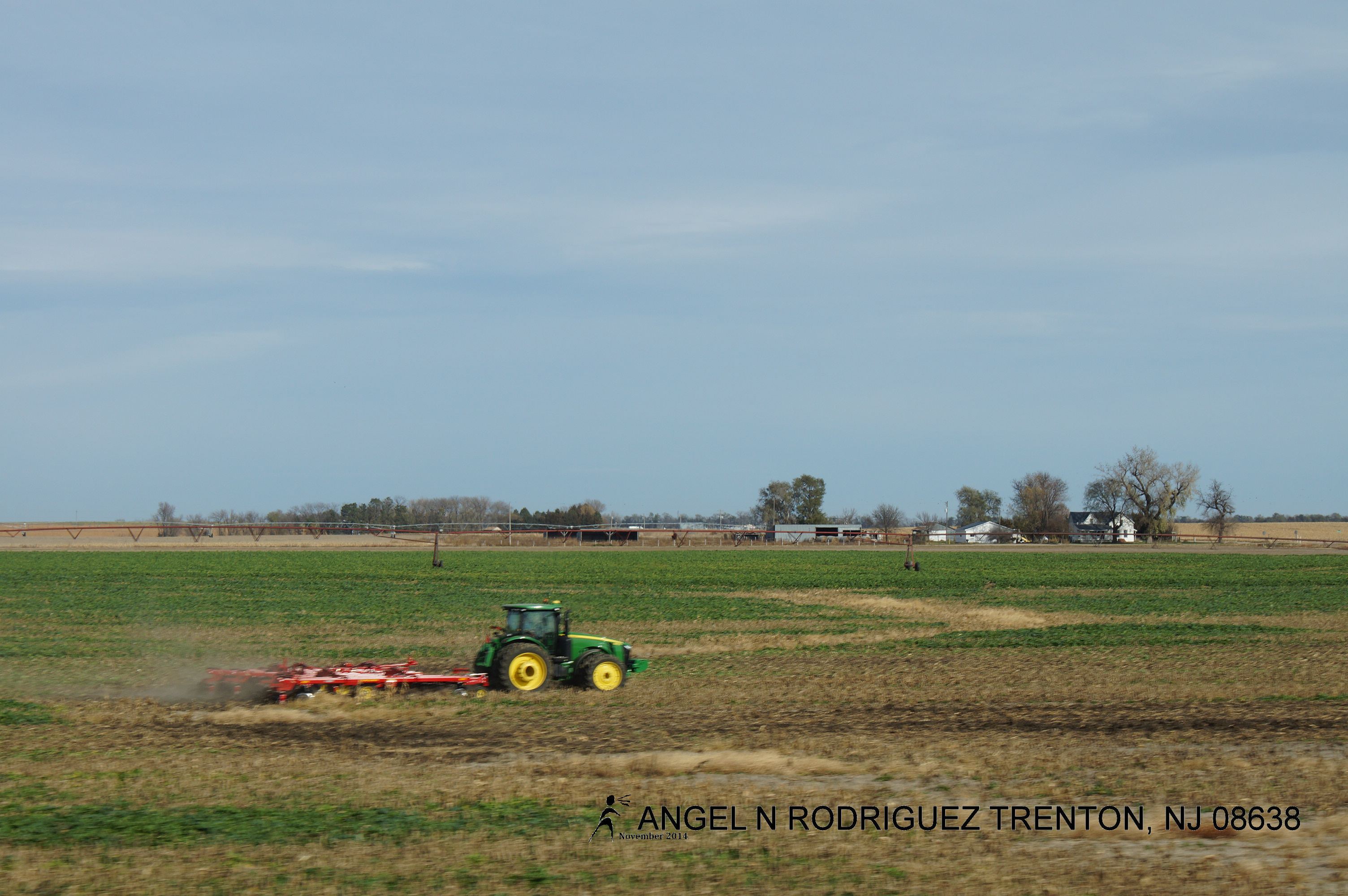
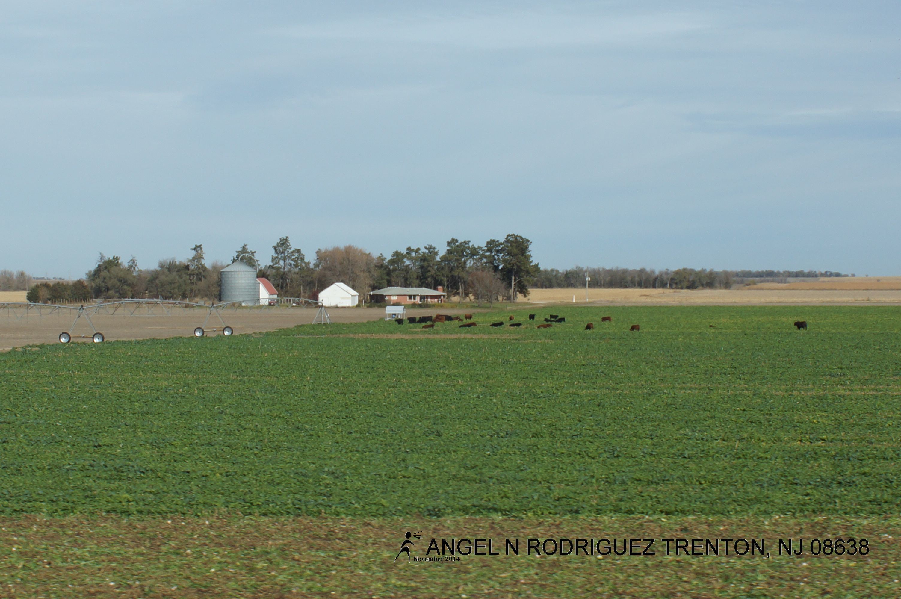
From West to East
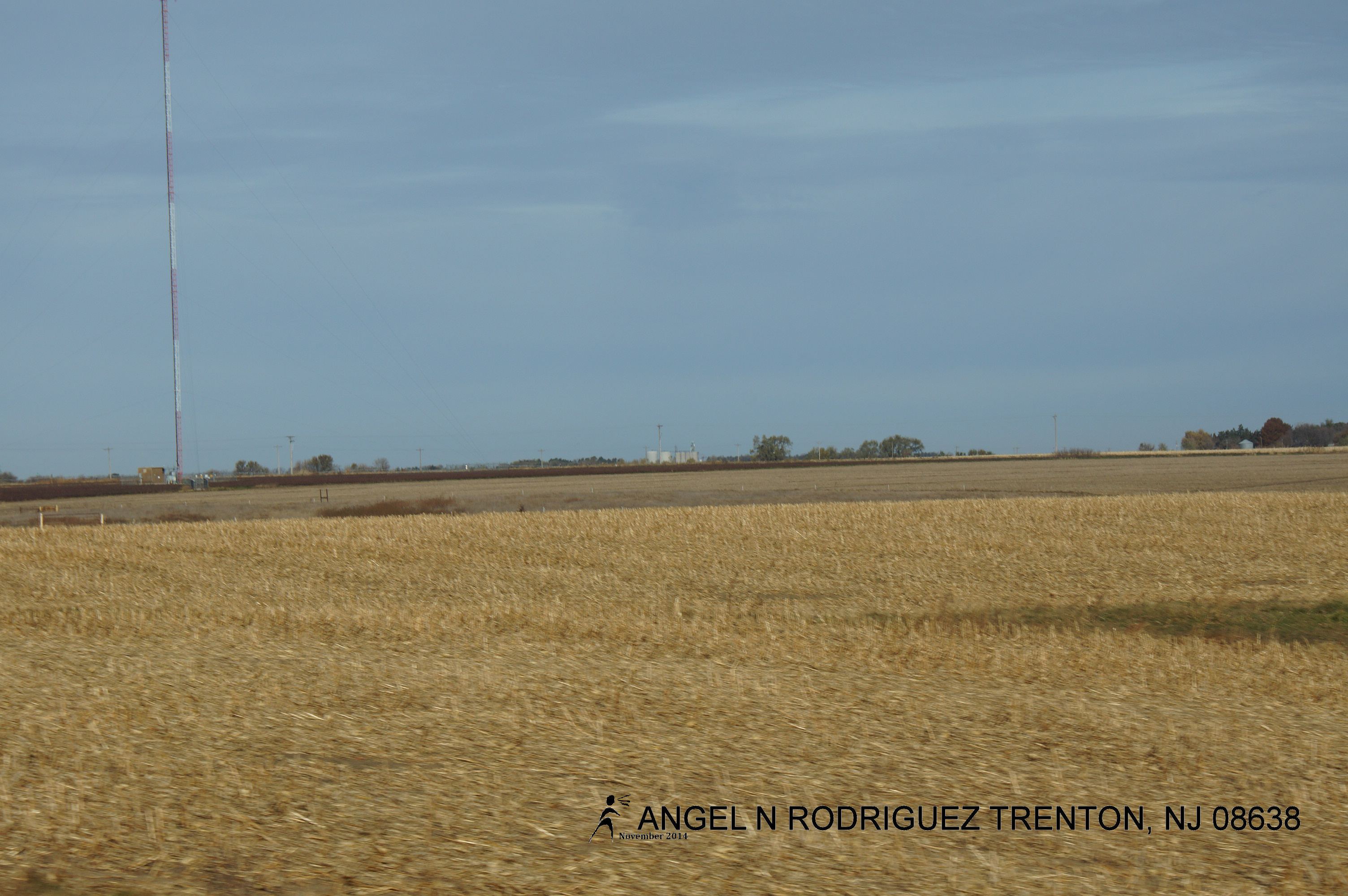
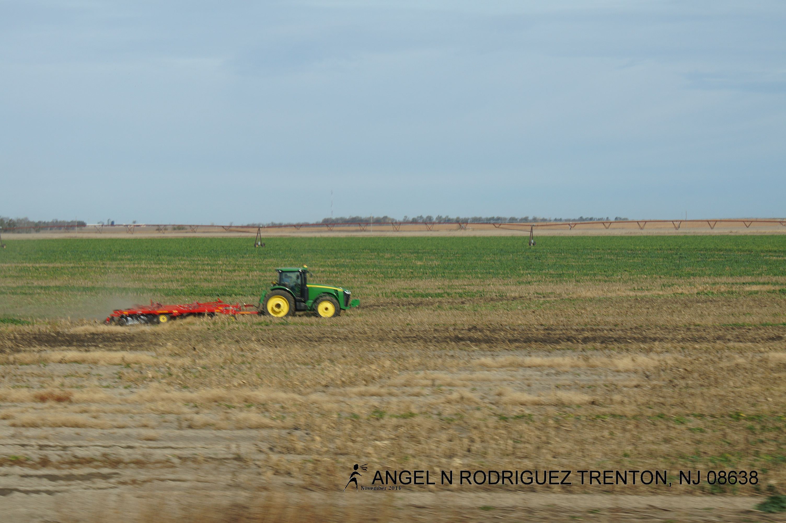
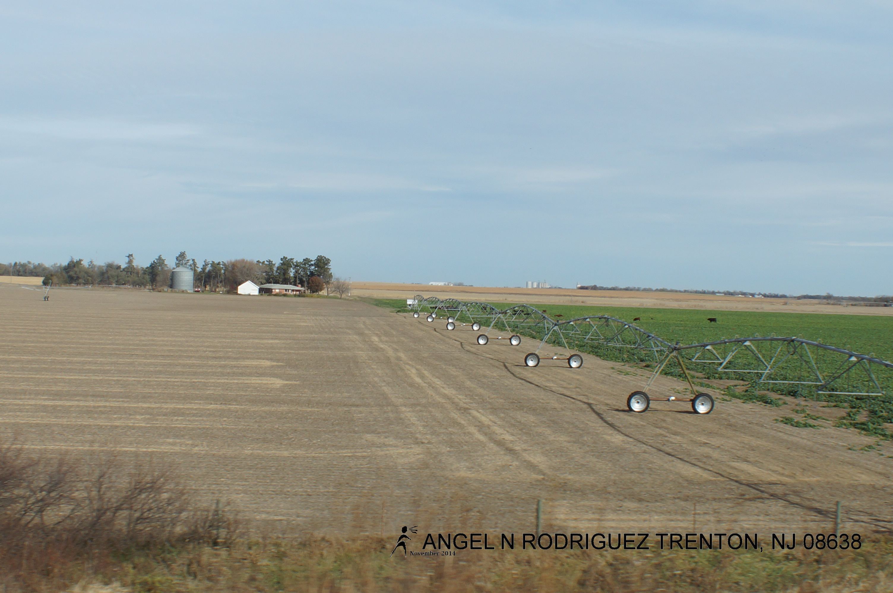
From West to East
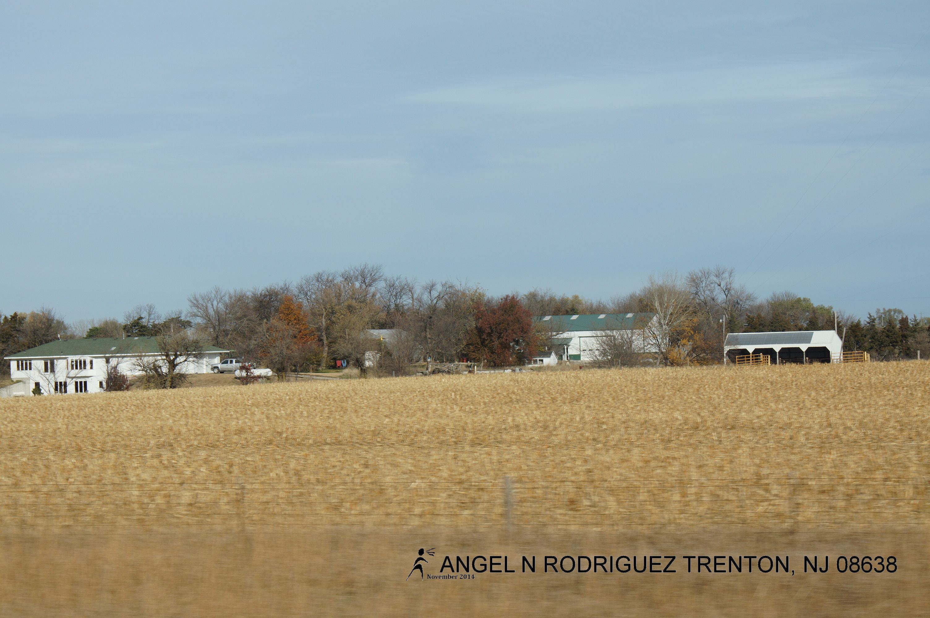
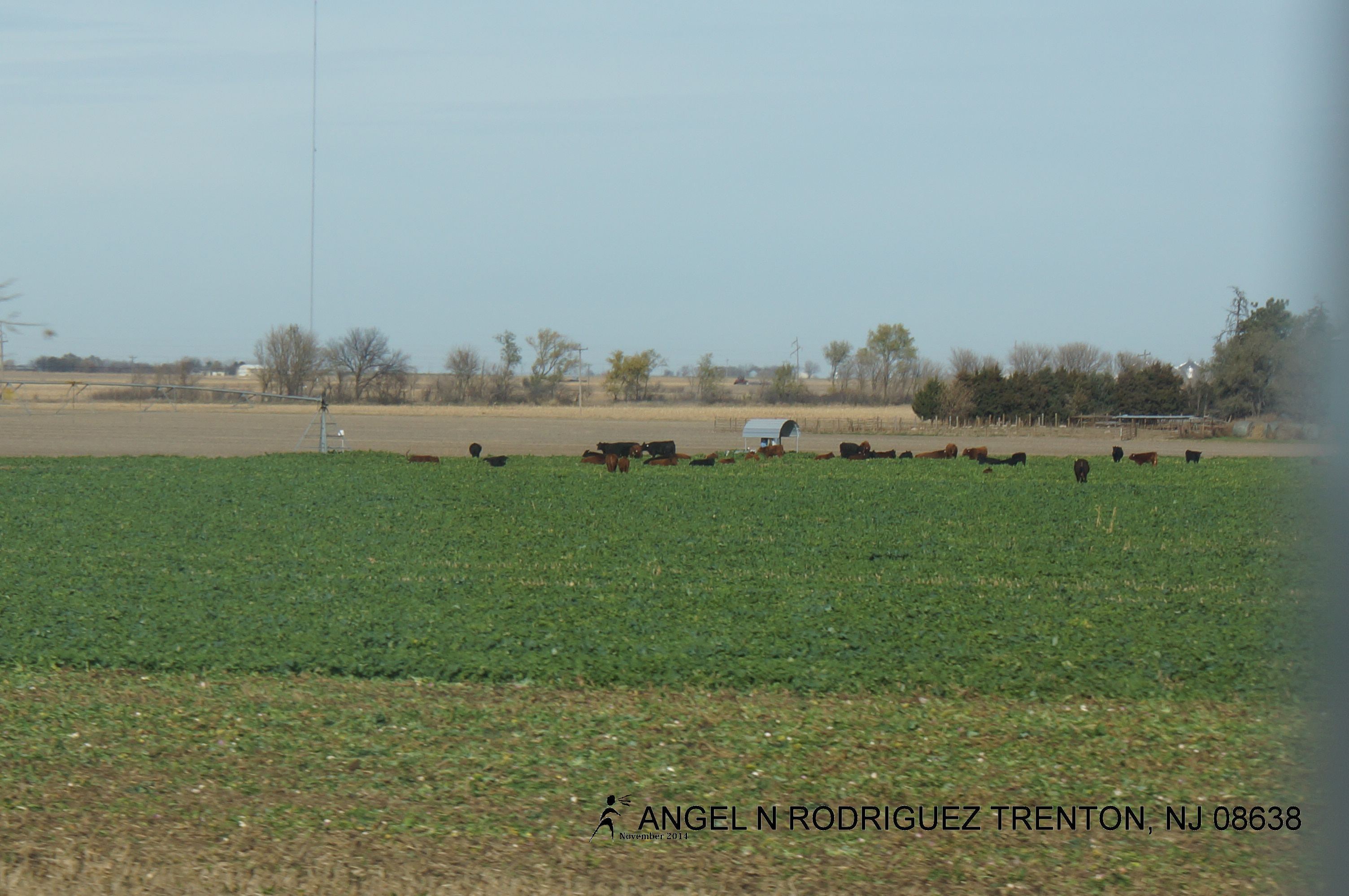
From West to East
From West to East
From West to East
From West to East
From West to East
From West to East
From West to East
From West to East
From West to East
From West to East
From West to East
From West to East
From West to East
Topographic Map of Seward County, NE, USA
Find elevation by address:

Places in Seward County, NE, USA:
Places near Seward County, NE, USA:
Seward
646 N 6th St
Concordia University, Nebraska
1111 Izaak Walton Rd
800 N Columbia Ave
1817 294th
1777 Co Rd 322
F
Butler County
David City
219 E St
1236 K St
South Canada
Elm St, Shelby, NE, USA
Shelby
York County
1005 Mayhew Ave
York
711 S Lincoln Ave
Alexis
Recent Searches:
- Elevation of Corso Fratelli Cairoli, 35, Macerata MC, Italy
- Elevation of Tallevast Rd, Sarasota, FL, USA
- Elevation of 4th St E, Sonoma, CA, USA
- Elevation of Black Hollow Rd, Pennsdale, PA, USA
- Elevation of Oakland Ave, Williamsport, PA, USA
- Elevation of Pedrógão Grande, Portugal
- Elevation of Klee Dr, Martinsburg, WV, USA
- Elevation of Via Roma, Pieranica CR, Italy
- Elevation of Tavkvetili Mountain, Georgia
- Elevation of Hartfords Bluff Cir, Mt Pleasant, SC, USA