Elevation of N 6th St, Seward, NE, USA
Location: United States > Nebraska > Seward County > Seward >
Longitude: -97.0987836
Latitude: 40.9131431
Elevation: 454m / 1489feet
Barometric Pressure: 0KPa
Related Photos:

Garland, Nebraska, USA.jpg

Storm_9-15-2010_01

Bridge By Moonlight
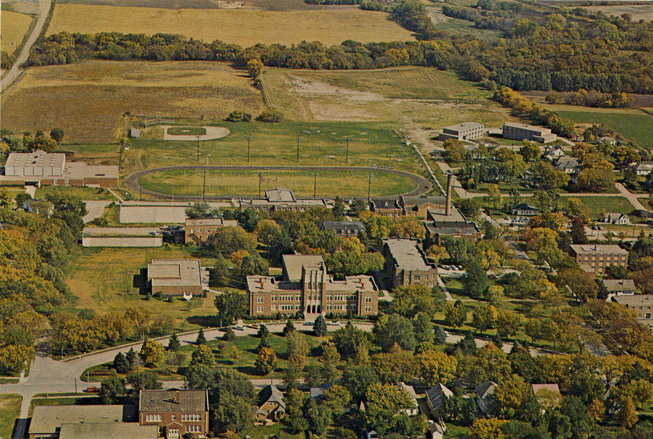
Aerial Photograph (old color) of Concordia Teachers College in Seward, Nebraska
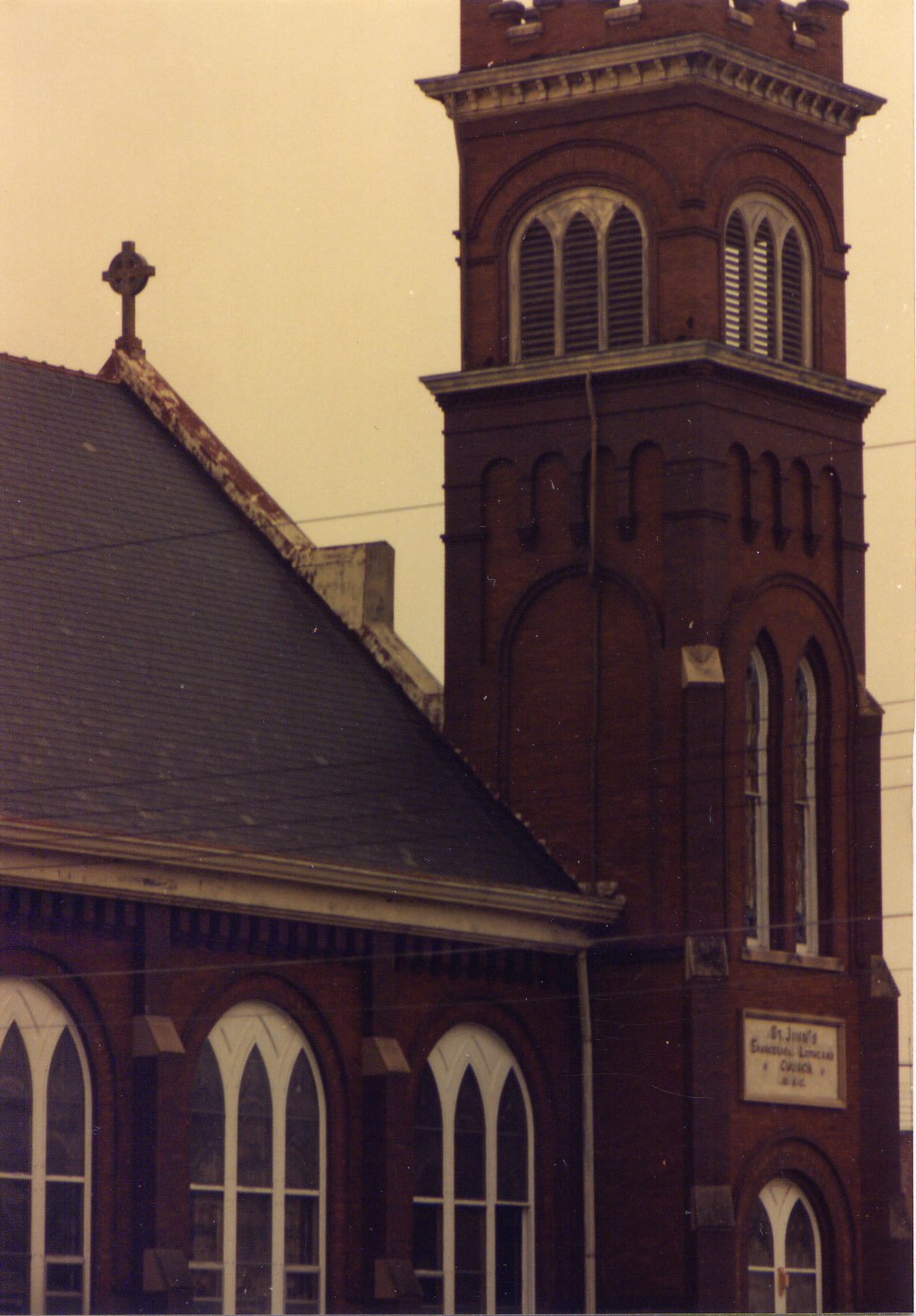
Roof Detail (side view) of the Old St John Lutheran Church in Seward, Nebraska
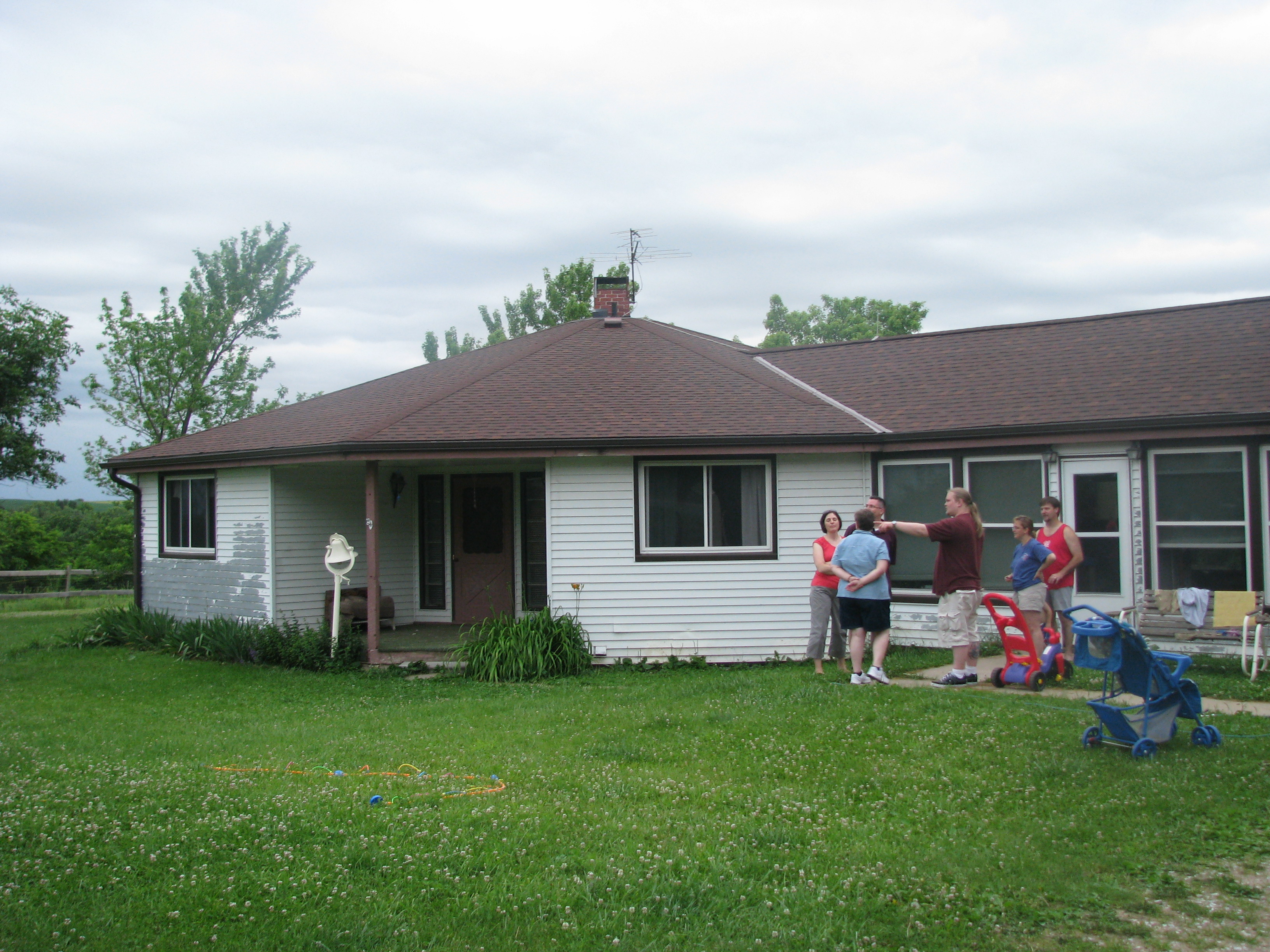
Octagonal house where John grew up
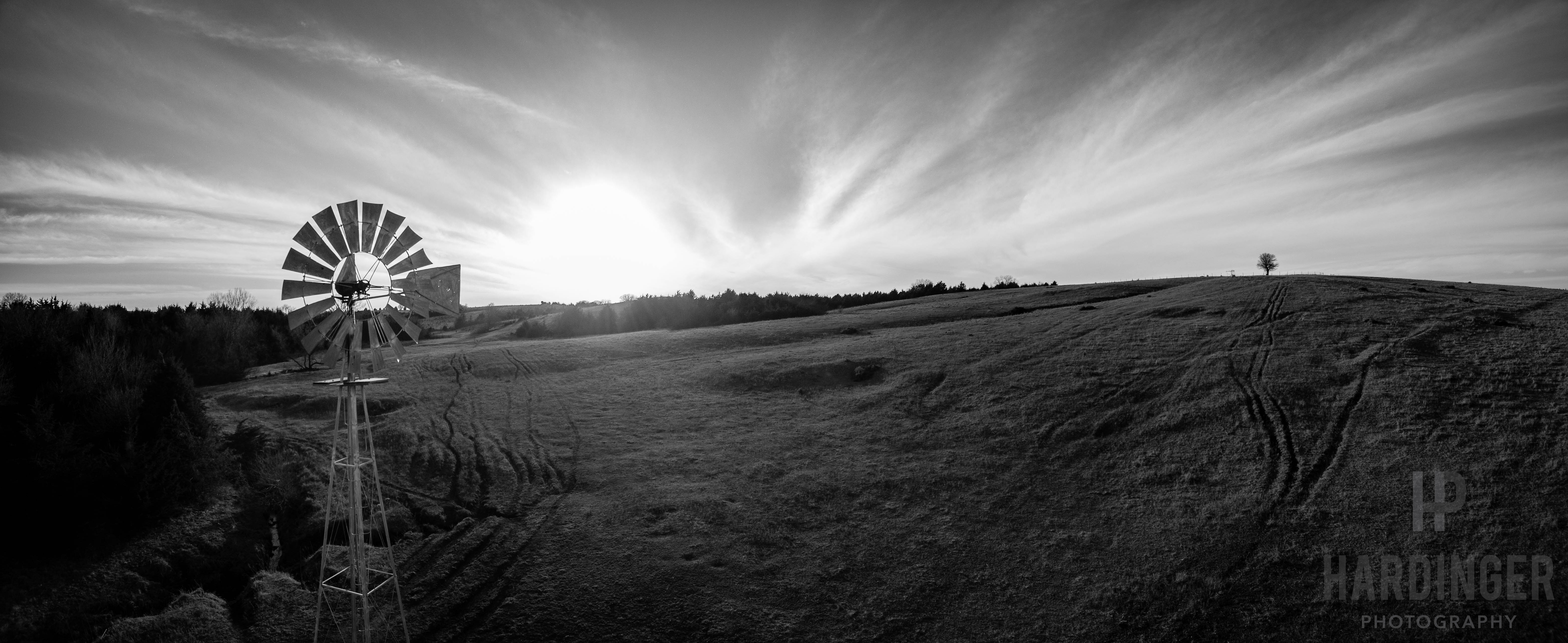
DJI_0508-Pano

IMG_6864 3
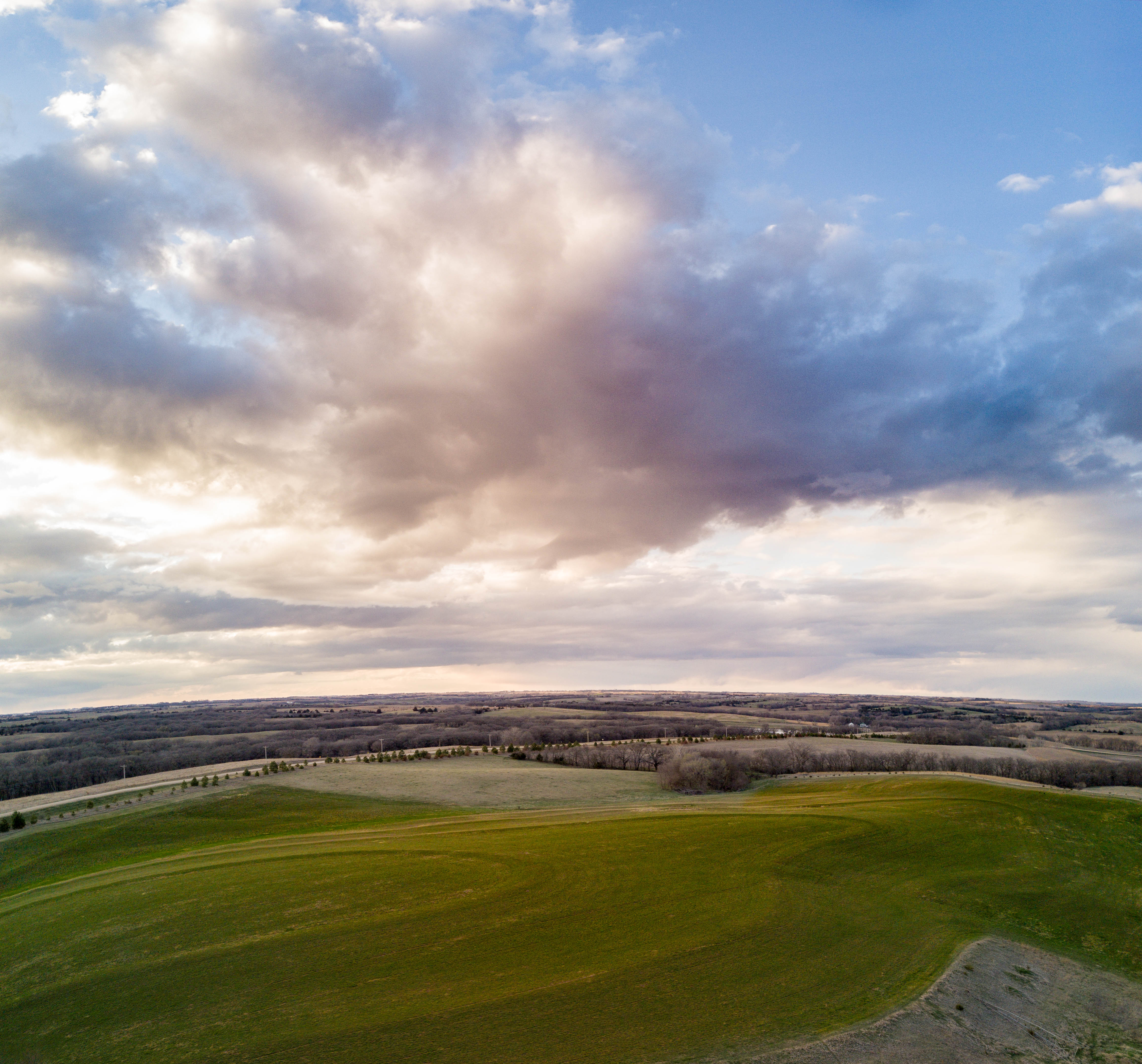
DJI_0583-Pano-Edit
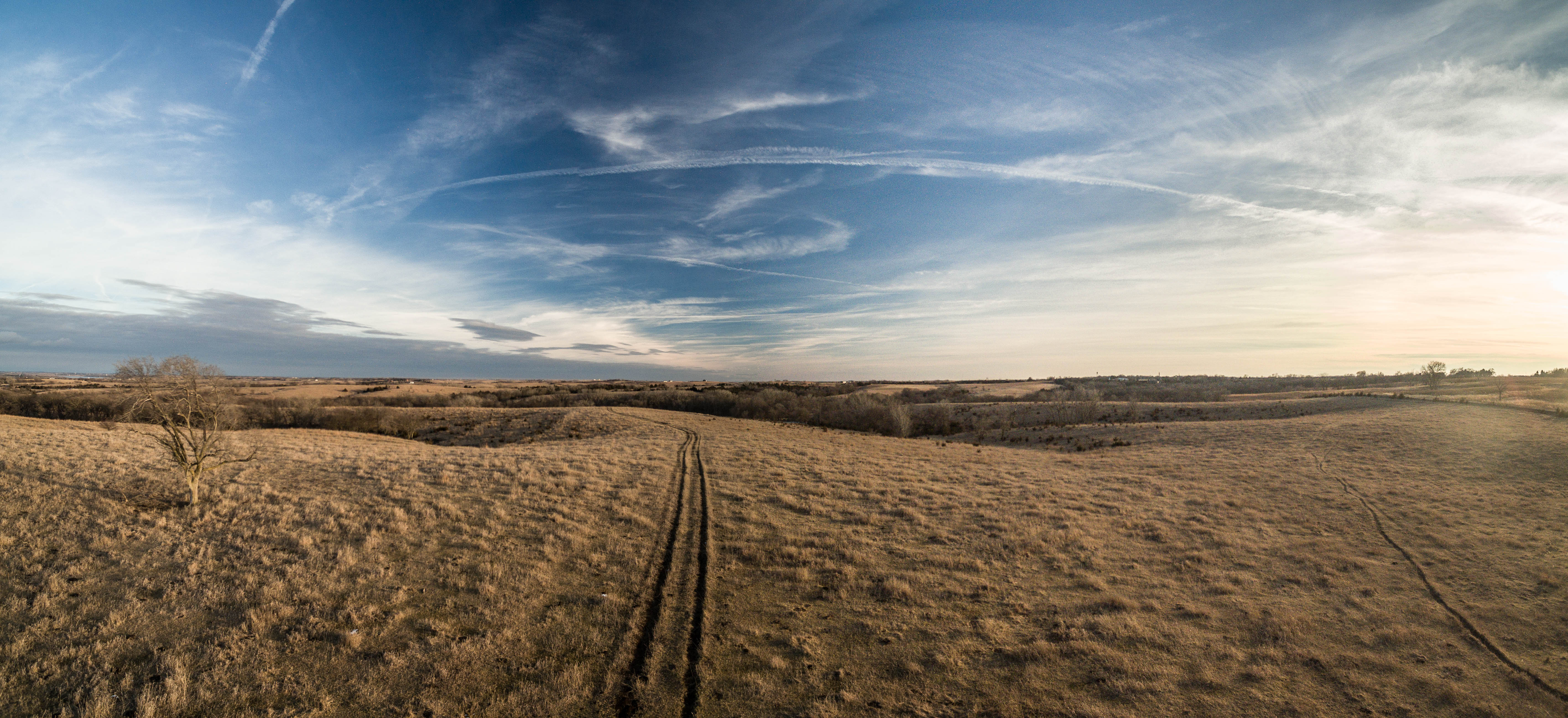
DJI_0067-Pano
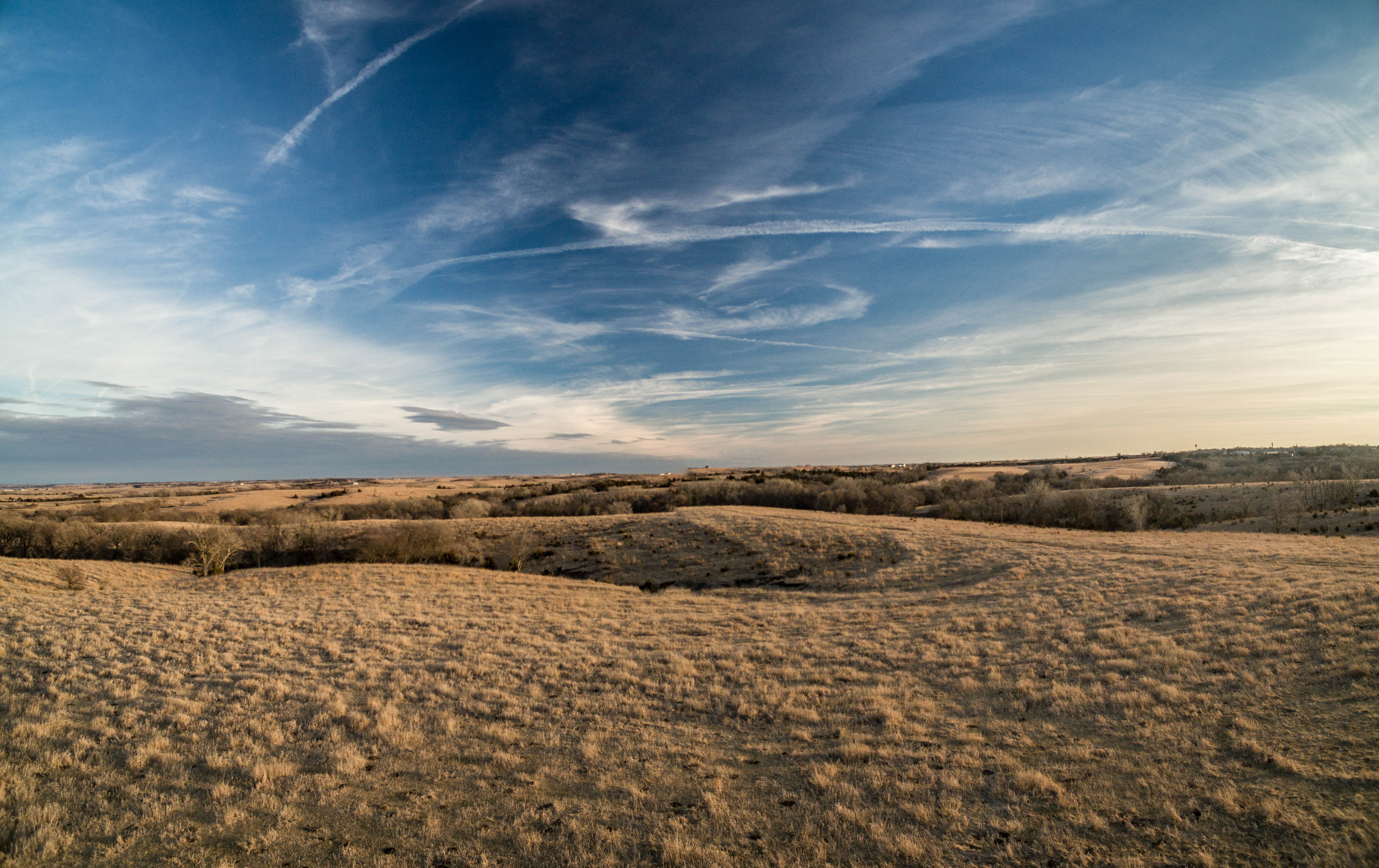
DJI_0547-Pano
DJI_0568-Pano

Midwest Sunset
DJI_0126-Pano
DJI_0146-Pano
DJI_0129-Pano

DJI_0018-Pano
11 September 2015 Nebraska (52)
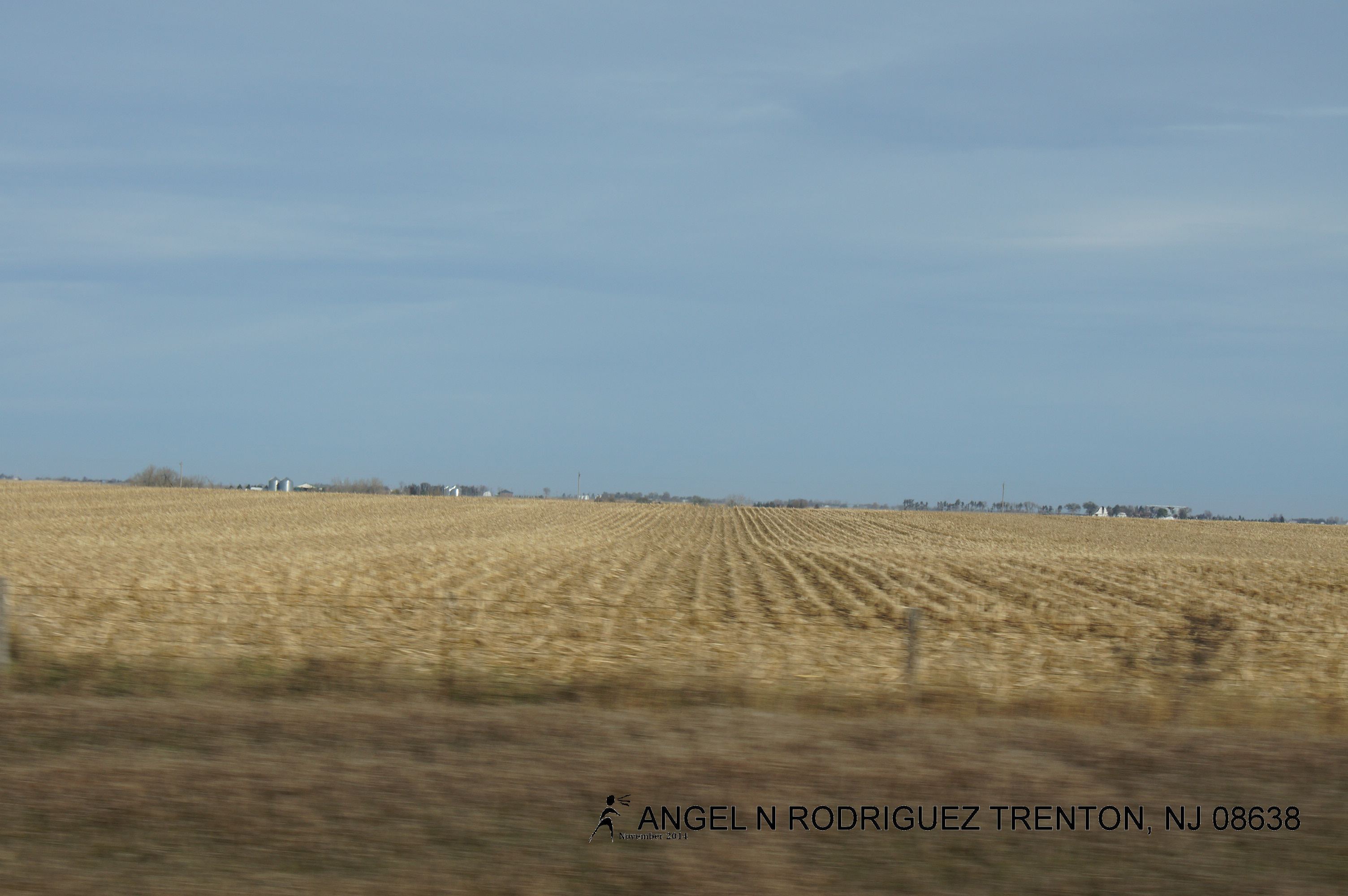
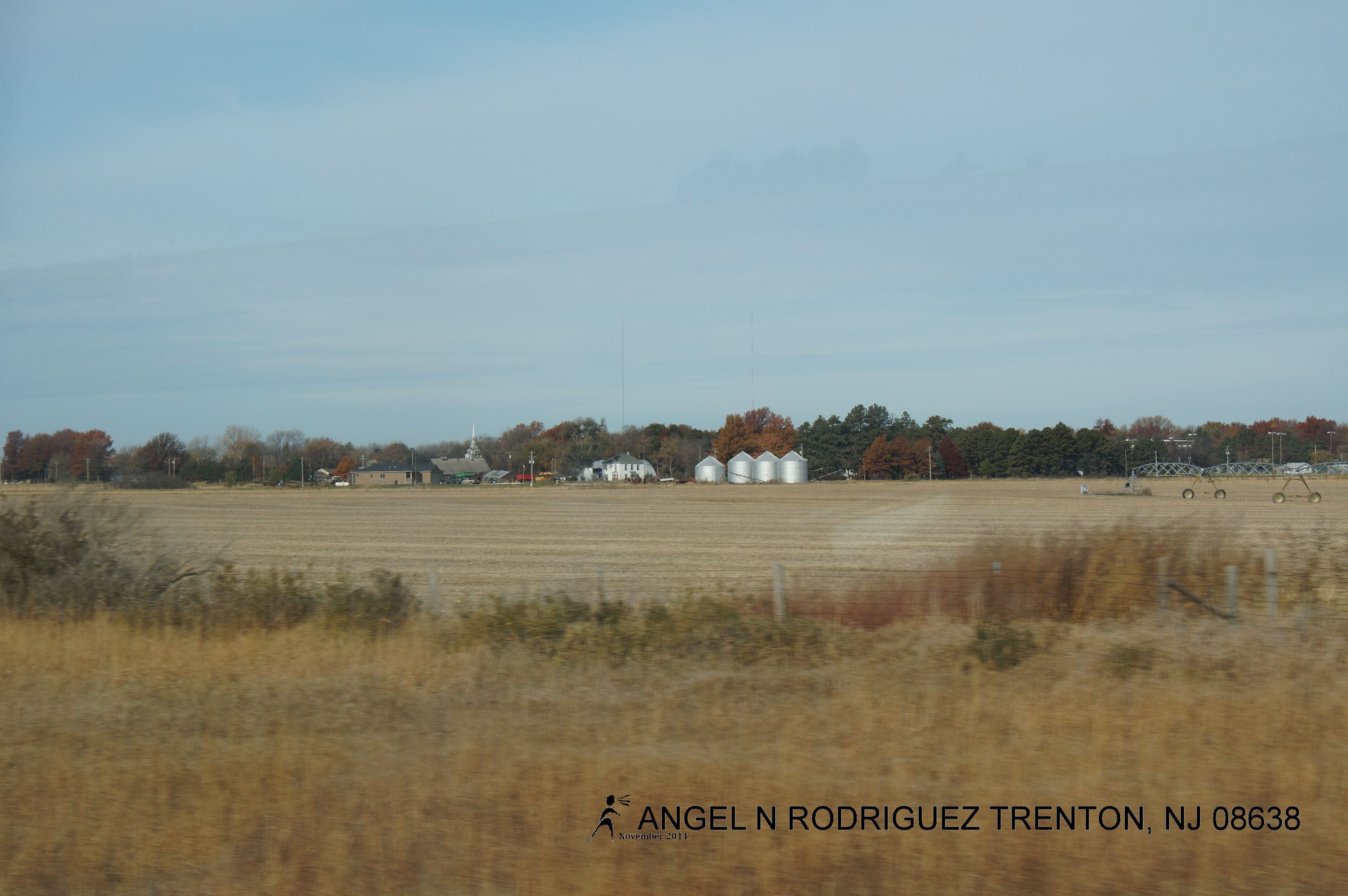
From West to East
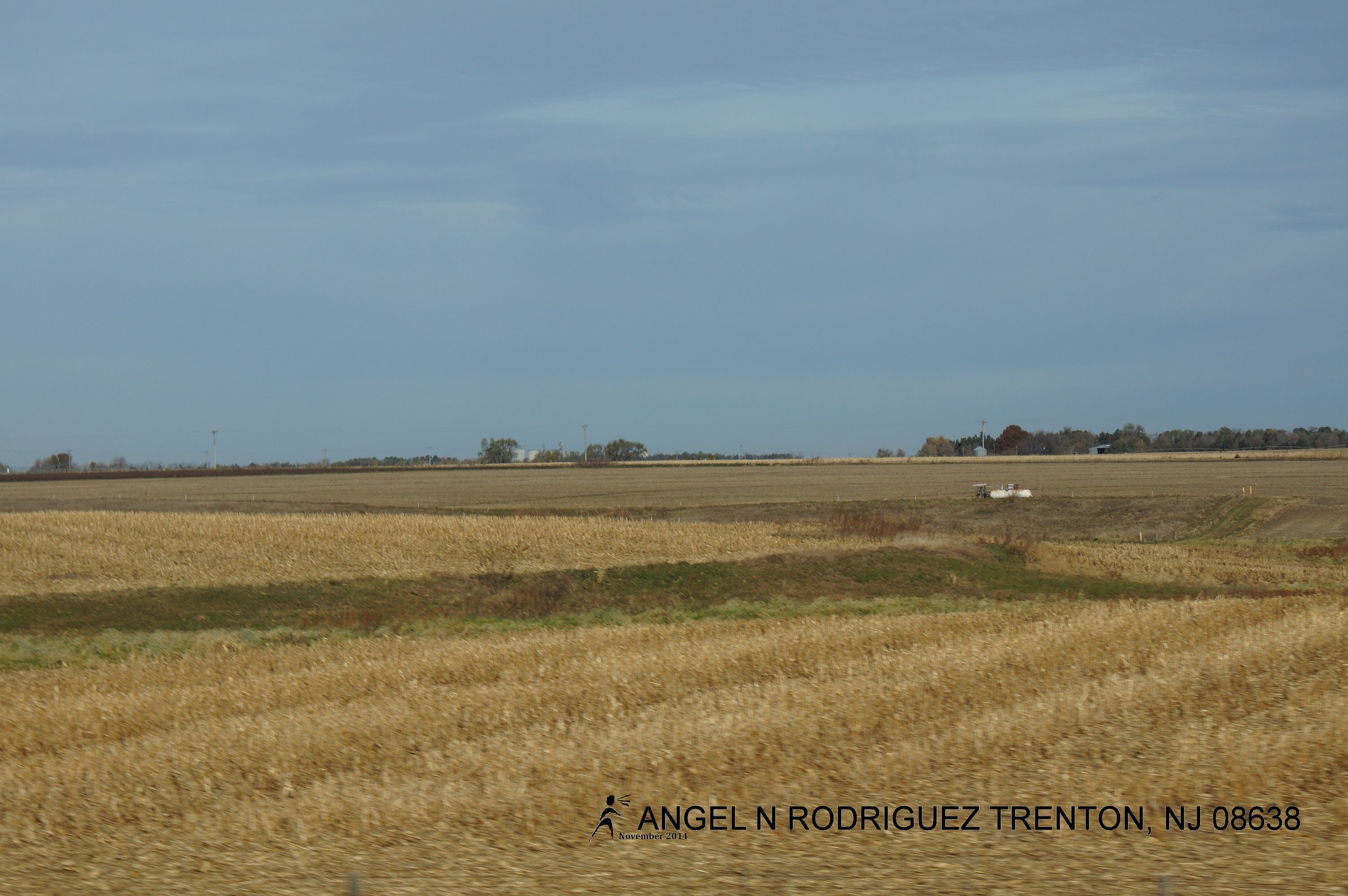
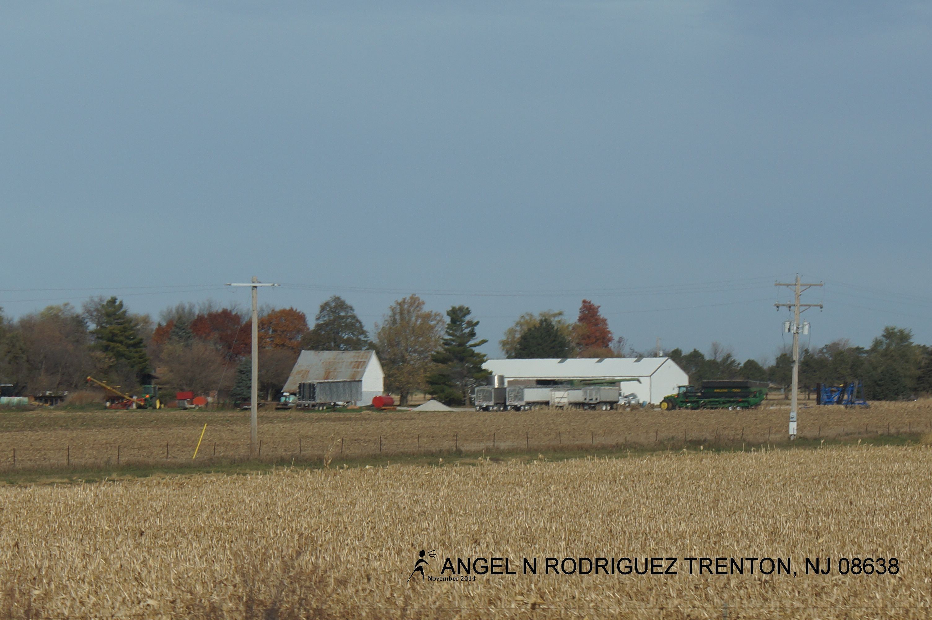
From West to East
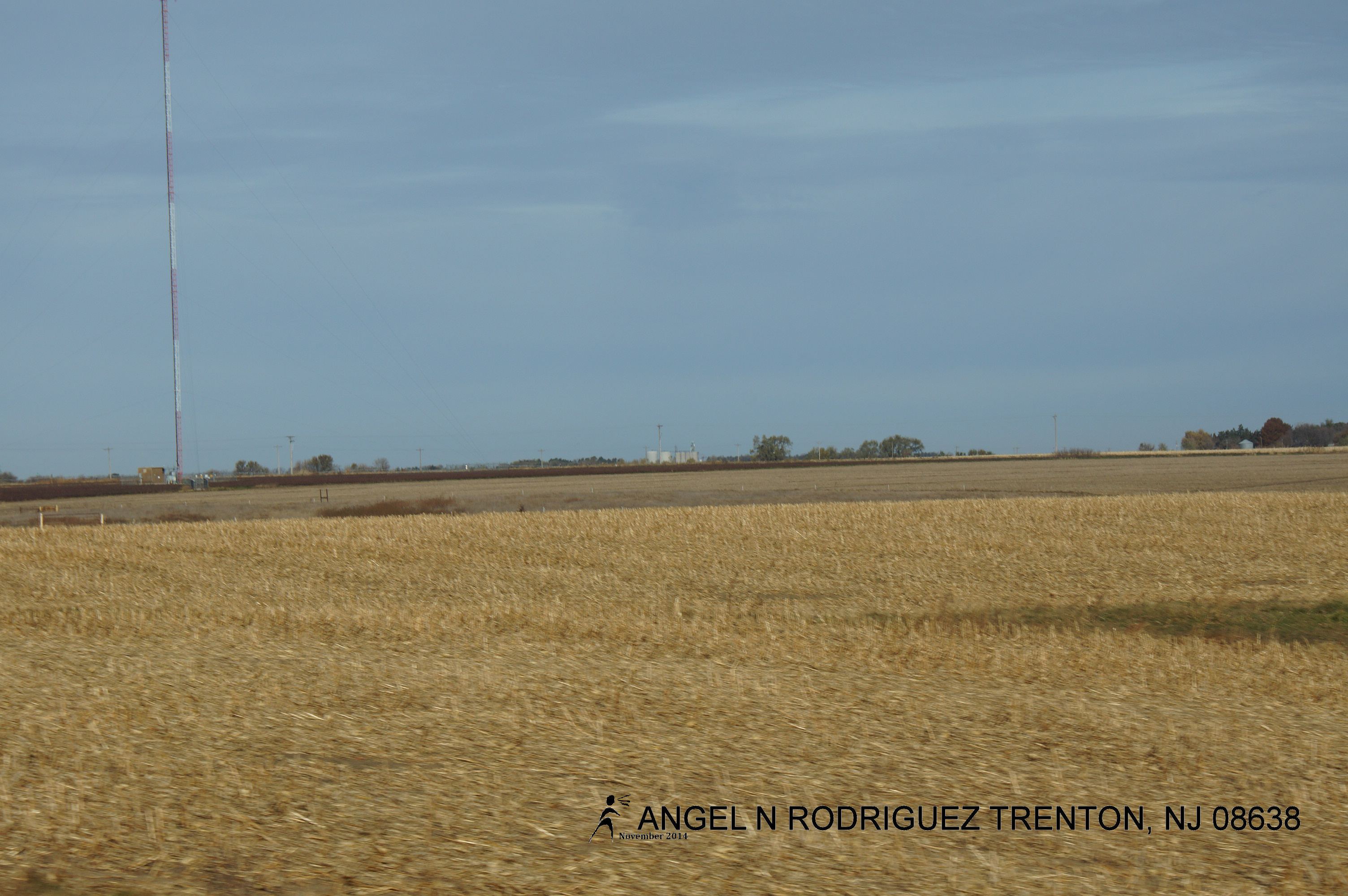
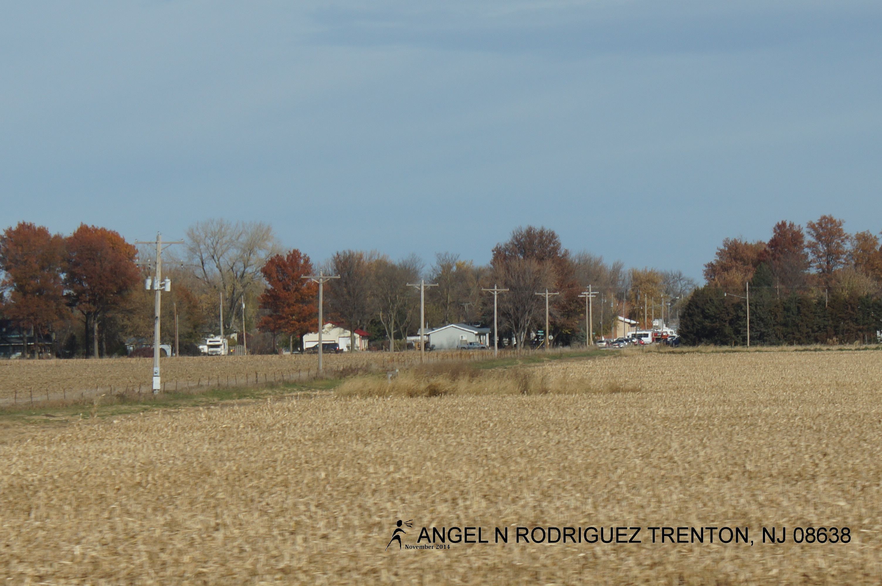
From West to East
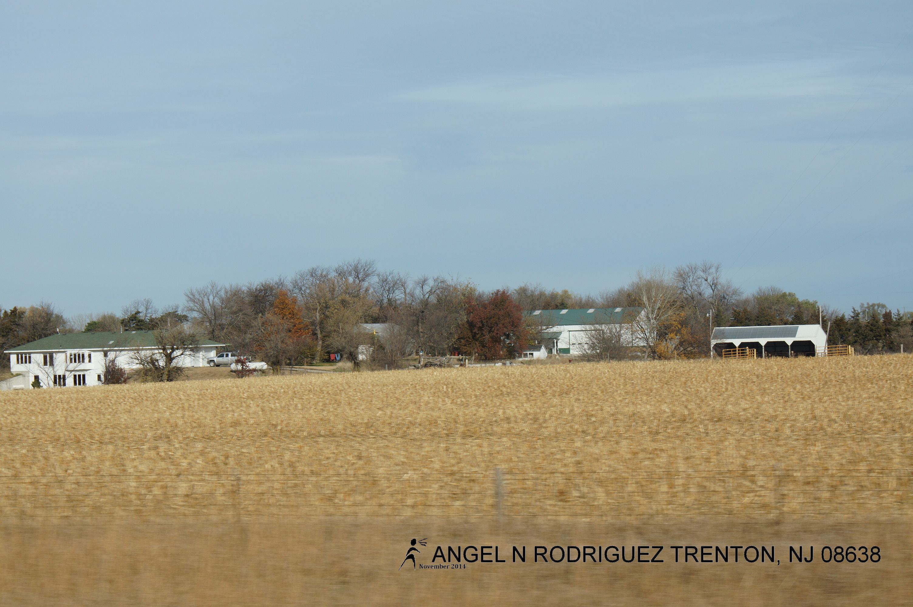
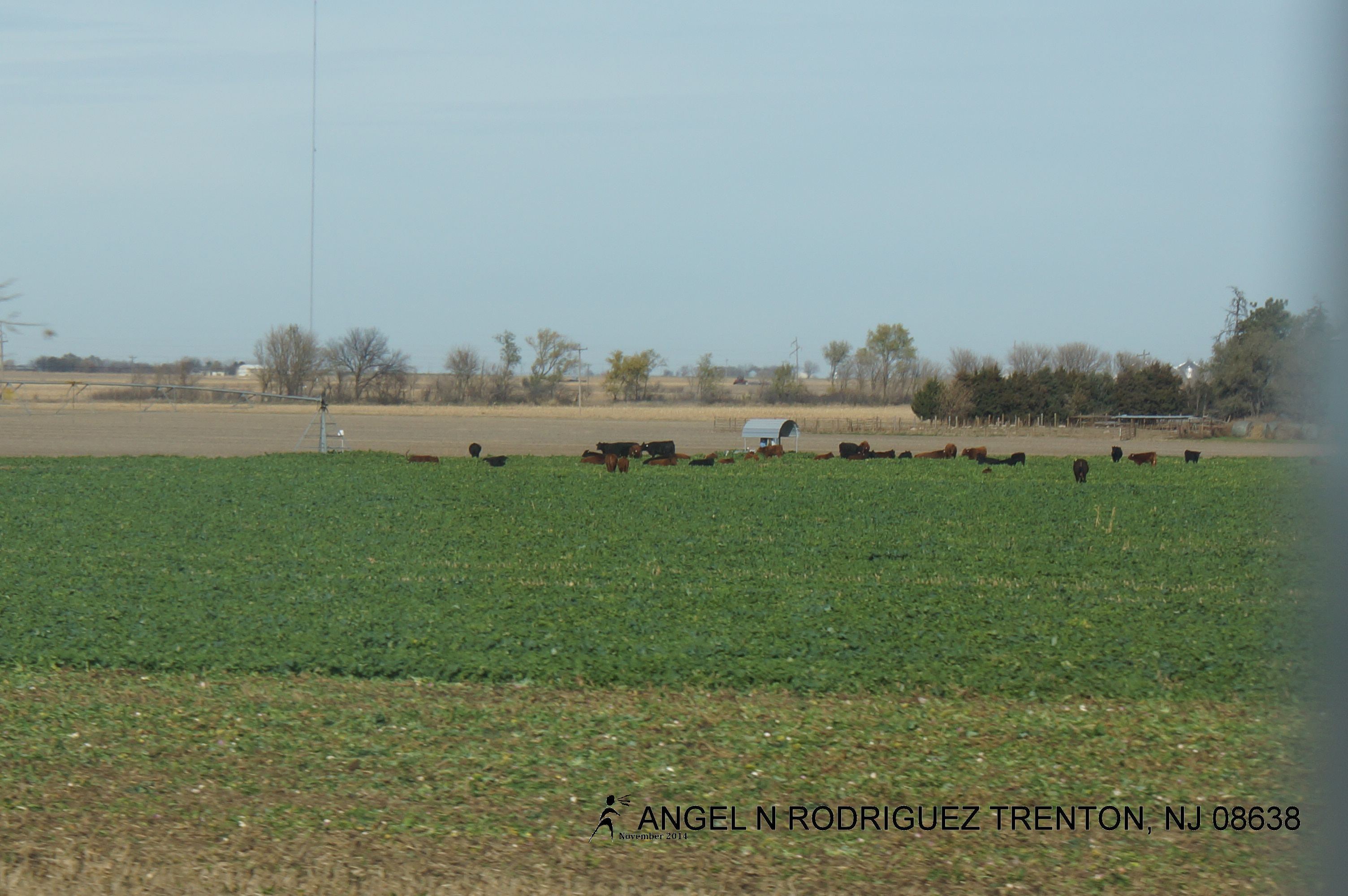
From West to East
From West to East
From West to East
From West to East
From West to East
From West to East
Topographic Map of N 6th St, Seward, NE, USA
Find elevation by address:

Places near N 6th St, Seward, NE, USA:
Seward
Seward County
Concordia University, Nebraska
800 N Columbia Ave
1111 Izaak Walton Rd
1817 294th
1777 Co Rd 322
F
Butler County
David City
219 E St
1236 K St
South Canada
Elm St, Shelby, NE, USA
Shelby
York County
1005 Mayhew Ave
Alexis
York
711 S Lincoln Ave
Recent Searches:
- Elevation of 10370, West 107th Circle, Westminster, Jefferson County, Colorado, 80021, USA
- Elevation of 611, Roman Road, Old Ford, Bow, London, England, E3 2RW, United Kingdom
- Elevation of 116, Beartown Road, Underhill, Chittenden County, Vermont, 05489, USA
- Elevation of Window Rock, Colfax County, New Mexico, 87714, USA
- Elevation of 4807, Rosecroft Street, Kempsville Gardens, Virginia Beach, Virginia, 23464, USA
- Elevation map of Matawinie, Quebec, Canada
- Elevation of Sainte-Émélie-de-l'Énergie, Matawinie, Quebec, Canada
- Elevation of Rue du Pont, Sainte-Émélie-de-l'Énergie, Matawinie, Quebec, J0K2K0, Canada
- Elevation of 8, Rue de Bécancour, Blainville, Thérèse-De Blainville, Quebec, J7B1N2, Canada
- Elevation of Wilmot Court North, 163, University Avenue West, Northdale, Waterloo, Region of Waterloo, Ontario, N2L6B6, Canada
- Elevation map of Panamá Province, Panama
- Elevation of Balboa, Panamá Province, Panama
- Elevation of San Miguel, Balboa, Panamá Province, Panama
- Elevation of Isla Gibraleón, San Miguel, Balboa, Panamá Province, Panama
- Elevation of 4655, Krischke Road, Schulenburg, Fayette County, Texas, 78956, USA
- Elevation of Carnegie Avenue, Downtown Cleveland, Cleveland, Cuyahoga County, Ohio, 44115, USA
- Elevation of Walhonding, Coshocton County, Ohio, USA
- Elevation of Clifton Down, Clifton, Bristol, City of Bristol, England, BS8 3HU, United Kingdom
- Elevation map of Auvergne-Rhône-Alpes, France
- Elevation map of Upper Savoy, Auvergne-Rhône-Alpes, France