Elevation of Wolf Mountain Nature Center, Hopkins Crandall Rd, Smyrna, NY, USA

Location: United States > New York > Chenango County > Smyrna > Smyrna >

Longitude: -75.610398

Latitude: 42.660916

Elevation: 546m / 1791feet

Barometric Pressure: 95KPa

Elevation Map:

elevation map of Wolf Mountain Nature Center, Hopkins Crandall Rd, Smyrna, NY, USA

Satellite Map:

Satellite map of Wolf Mountain Nature Center, Hopkins Crandall Rd, Smyrna, NY, USA

Related Photos:

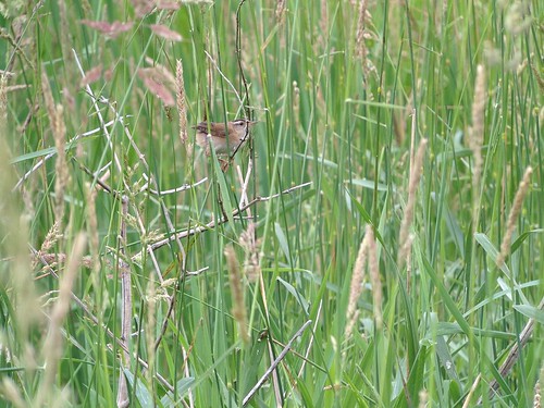
Marsh Wren
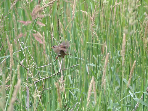
Marsh Wren
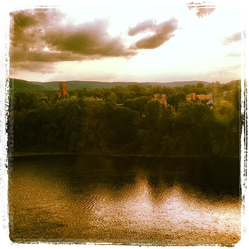
square squareformat lordkelvin iphoneography instagramapp uploaded:by=instagram
#view from my room #discoverihg #binghamton #southerntier #newyork
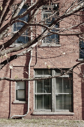
windows newyork architecture norwich upstatenewyork norwichnewyork chenagocounty
rear elevation
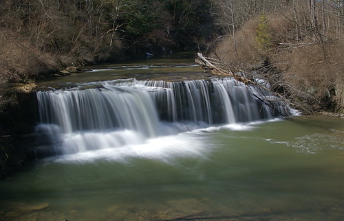
waterfall pleasantbrook uppervillefalls uppervilleny
Upper And Lower Views Of Upperville Falls
newyorkstate earlville earlvillenewyork upstate upstatenewyork centralnewyork earlvilleoperahouse operahouse
Opera House
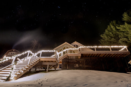
longexposure winter snow night stars landscape bowmanlakestatepark
Lake Steere at night
longexposure winter snow night stars landscape
Lake Steere at night
square squareformat iphoneography instagramapp uploaded:by=instagram
#cny
Power of Mother Nature
waterfall meandering pleasantbrook uppervillefalls uppervilleny
Under The Bridge At Upperville Falls
Inside looking out.
from west tower education farm environmental center rogers andyarthur
West from Farm Tower
tower education farm environmental center trail rogers andyarthur
Farm Tower Trail
show sanfrancisco seattle street new york newyorkcity uk trip travel trees ireland winter wedding light sunset red sea summer vacation sky urban italy music usa sun india white house mountain lake holiday snow newyork toronto mountains rome macro tree london home me nature water june yellow rock japan museum kids vancouver river landscape mexico thailand island zoo hawaii tokyo la scotland washington spring spain san honeymoon texas tour hiking live sydney may taiwan july roadtrip
April 29, 2007 067.jpg
Morning light in Cush Hill woods.
Truck Trail to Firetower
longexposure winter snow night stars landscape
Lake Steere at night
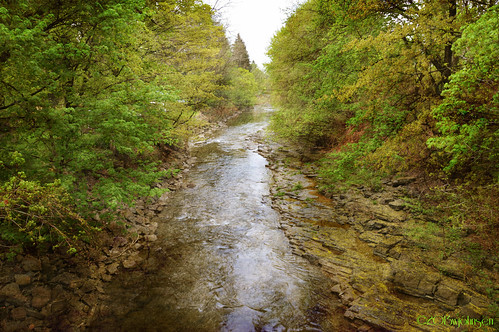
creek springtime norwichny canasawactacreek
Canasawacta Creek
thereheis rogersenvironmentaleducationcenter andyarthur
There He Is
rogersenvironmentaleducationcenter andyarthur beyondtheblind
Beyond the Blind
rogersenvironmentaleducationcenter andyarthur photo20130615171604
Photo.2013.06.15 17.16.04
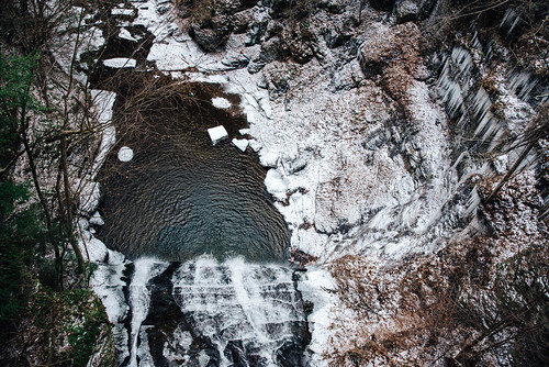
winter overlook water brook newyork rocks trees madbrook above snow waterfall travel forest ice cascade sherburne rexfordfalls bridge icicle gorge frozen
frozen in time
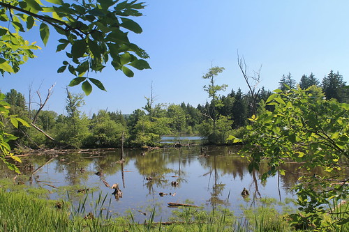
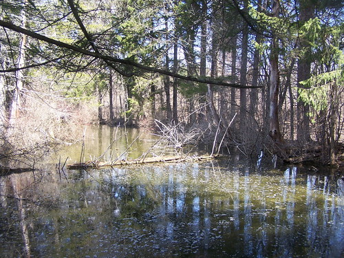
education environmental center trail rogers along backwaters andyarthur
Backwaters Along Trail
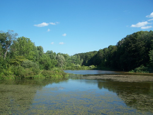
education adams farm environmental center rogers parcel ponds andyarthur
Ponds at Adams Farm Parcel
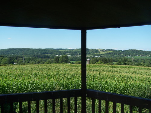
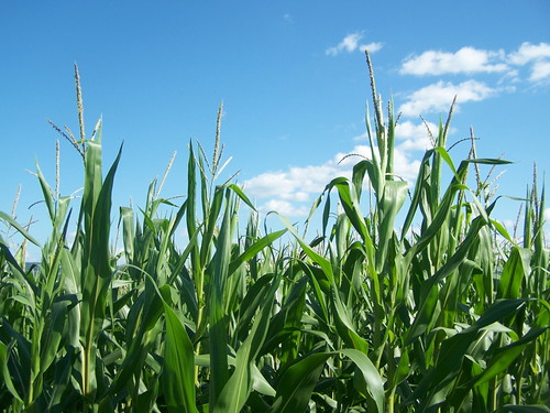
corn education environmental center rogers tops andyarthur
Tops of Corn