Elevation of County Rd 19, Norwich, NY, USA
Location: United States > New York > Chenango County > Plymouth >
Longitude: -75.589676
Latitude: 42.5587235
Elevation: 508m / 1667feet
Barometric Pressure: 95KPa
Elevation Map:
Satellite Map:
Related Photos:
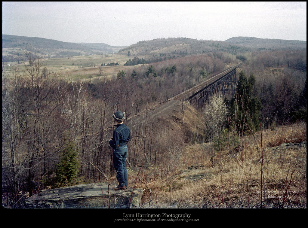
Lyon Brook Trestle, April 1959

Marsh Wren

rear elevation
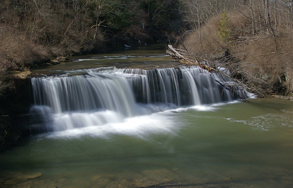
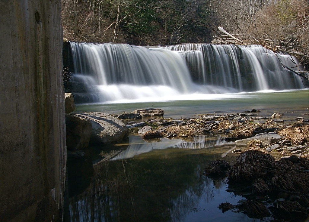
Upper And Lower Views Of Upperville Falls
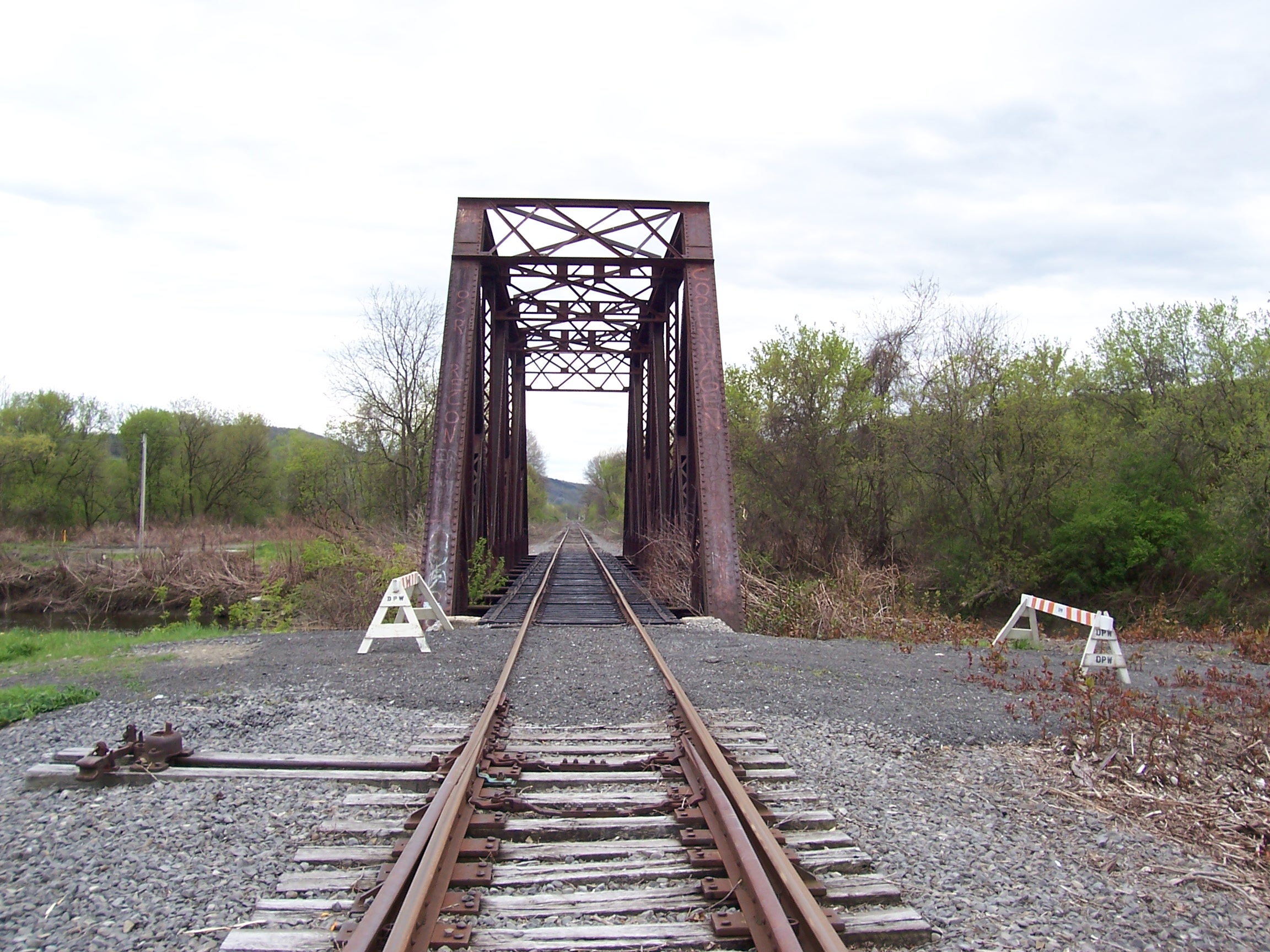
D. L. & W. RR Bridge, Norwich, NY

Marsh Wren

Marsh Wren

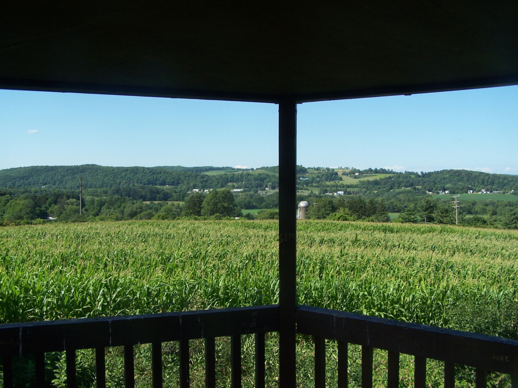
View from Farm Tower
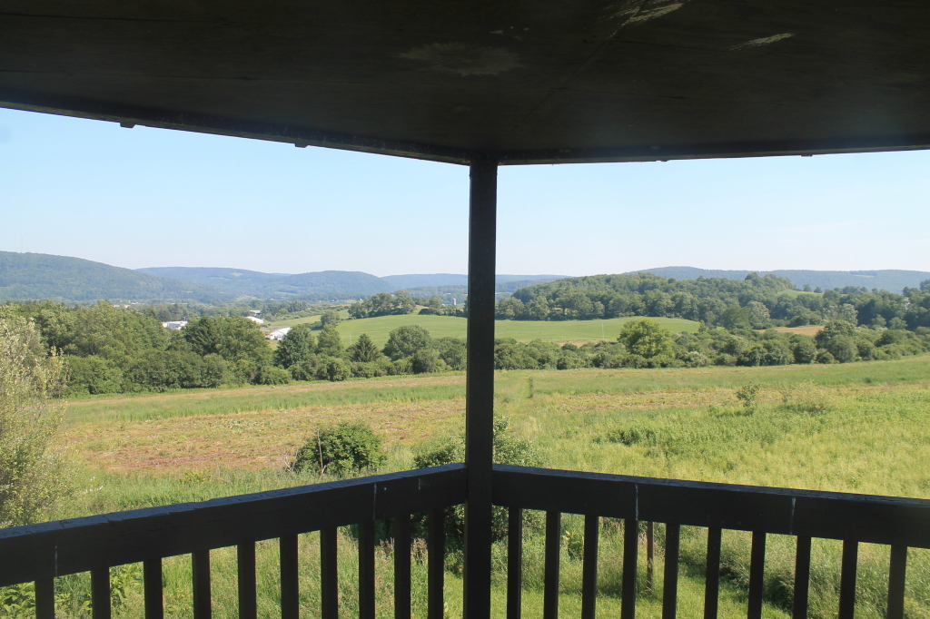
View from Farm Tower

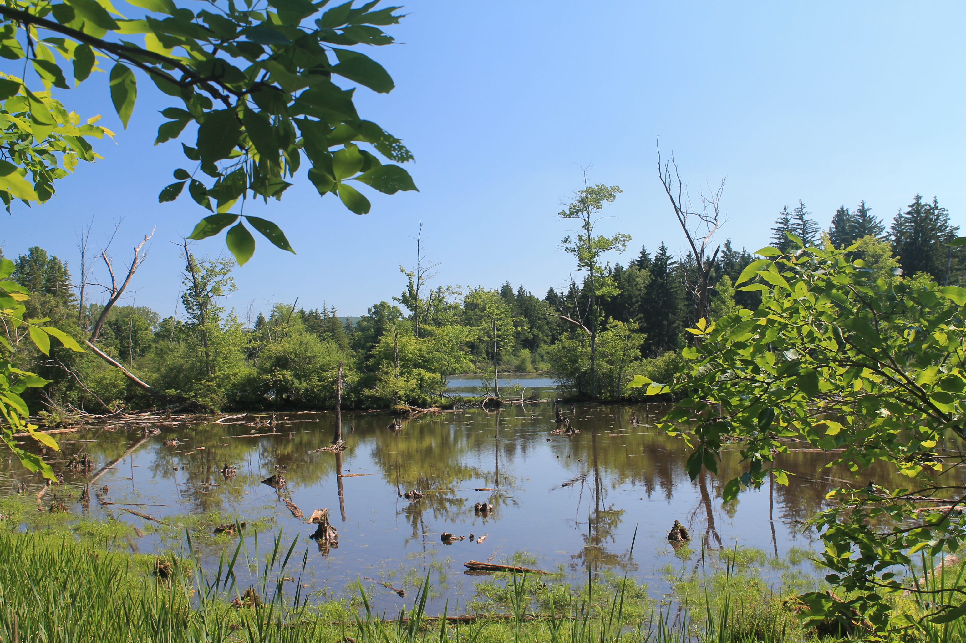
Lake Steere at night

Rexford Falls

Power of Mother Nature

Lake Steere at night
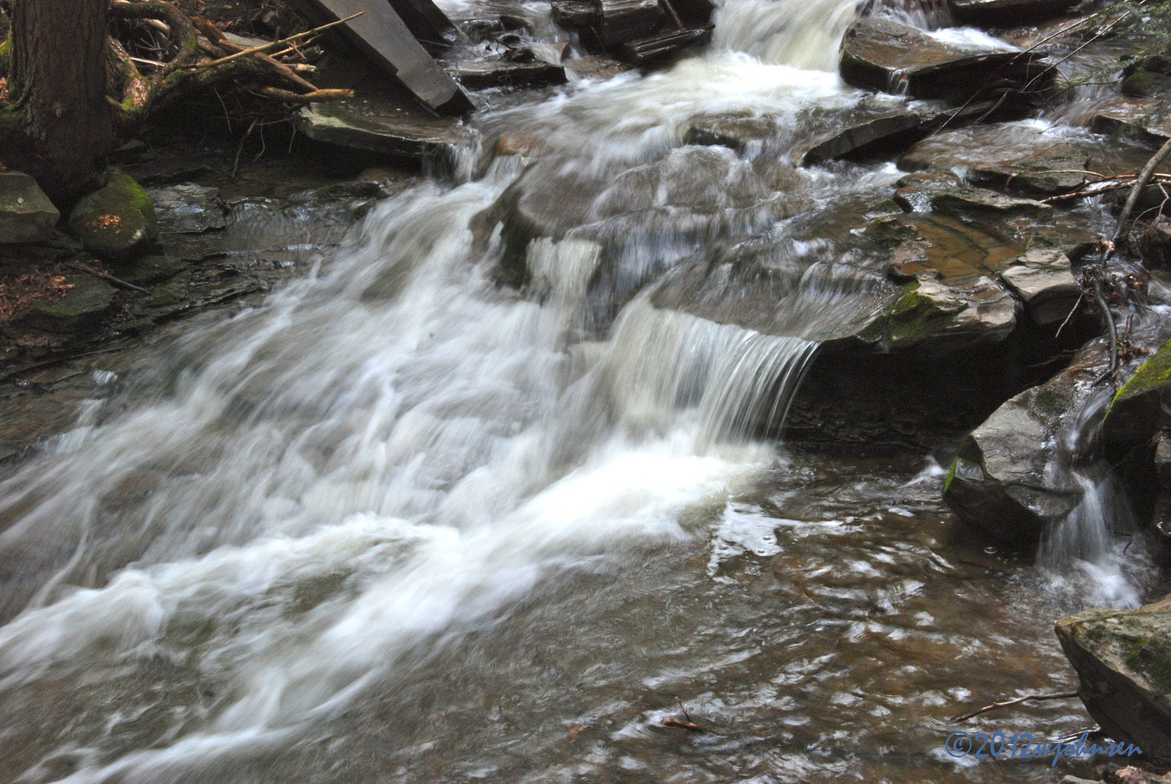
Under The Bridge At Upperville Falls

Lake Steere at night
Water Falls near Elmer Jackson Road

Inside looking out.
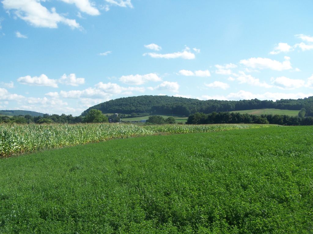
West from Farm Tower

Morning light in Cush Hill woods.

#HumanBuoy
Farm Tower Trail
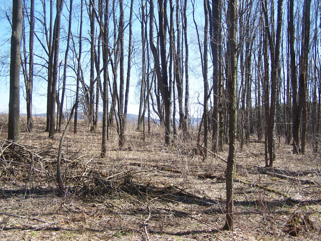
Walking Through the Woods
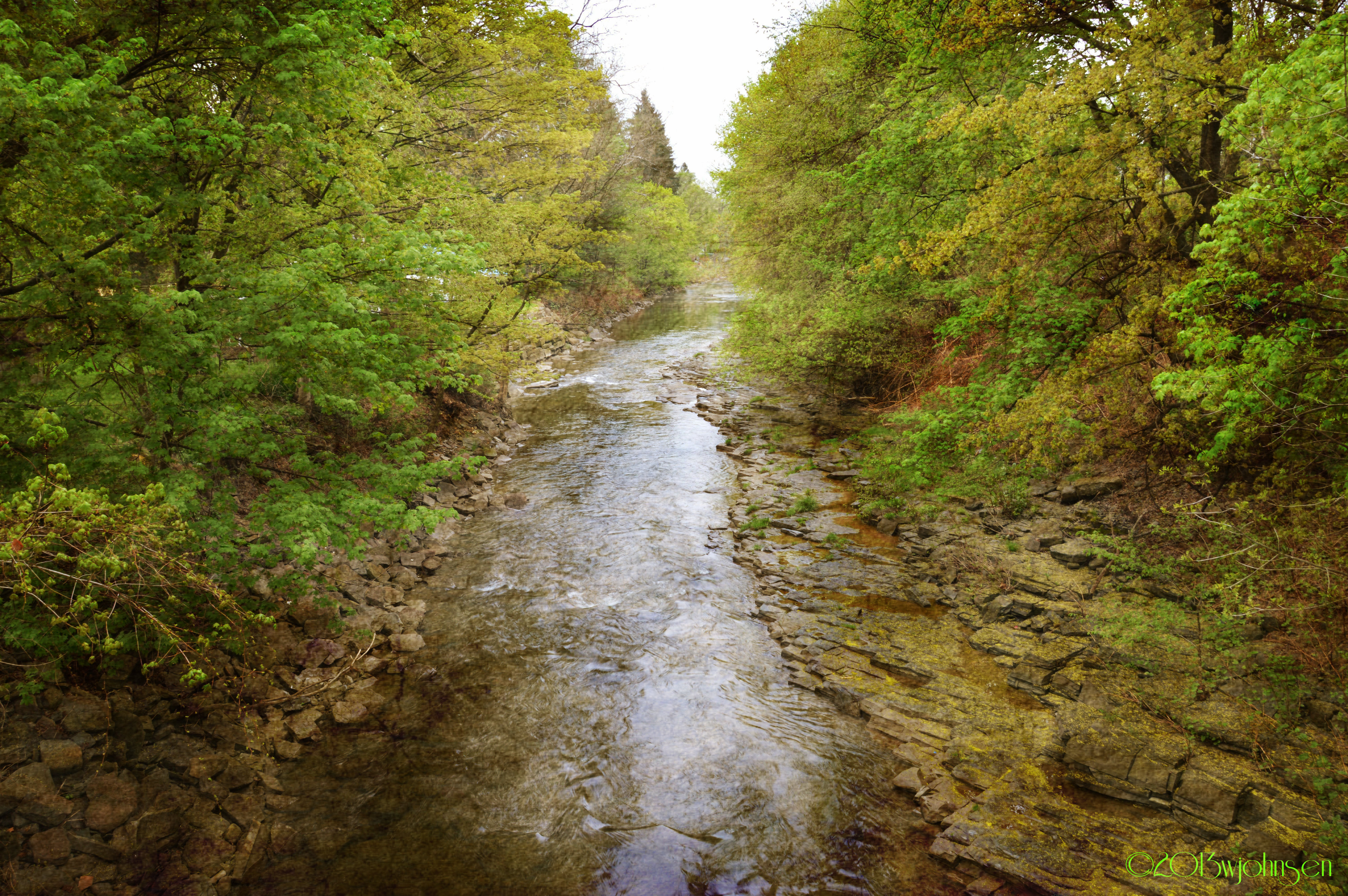
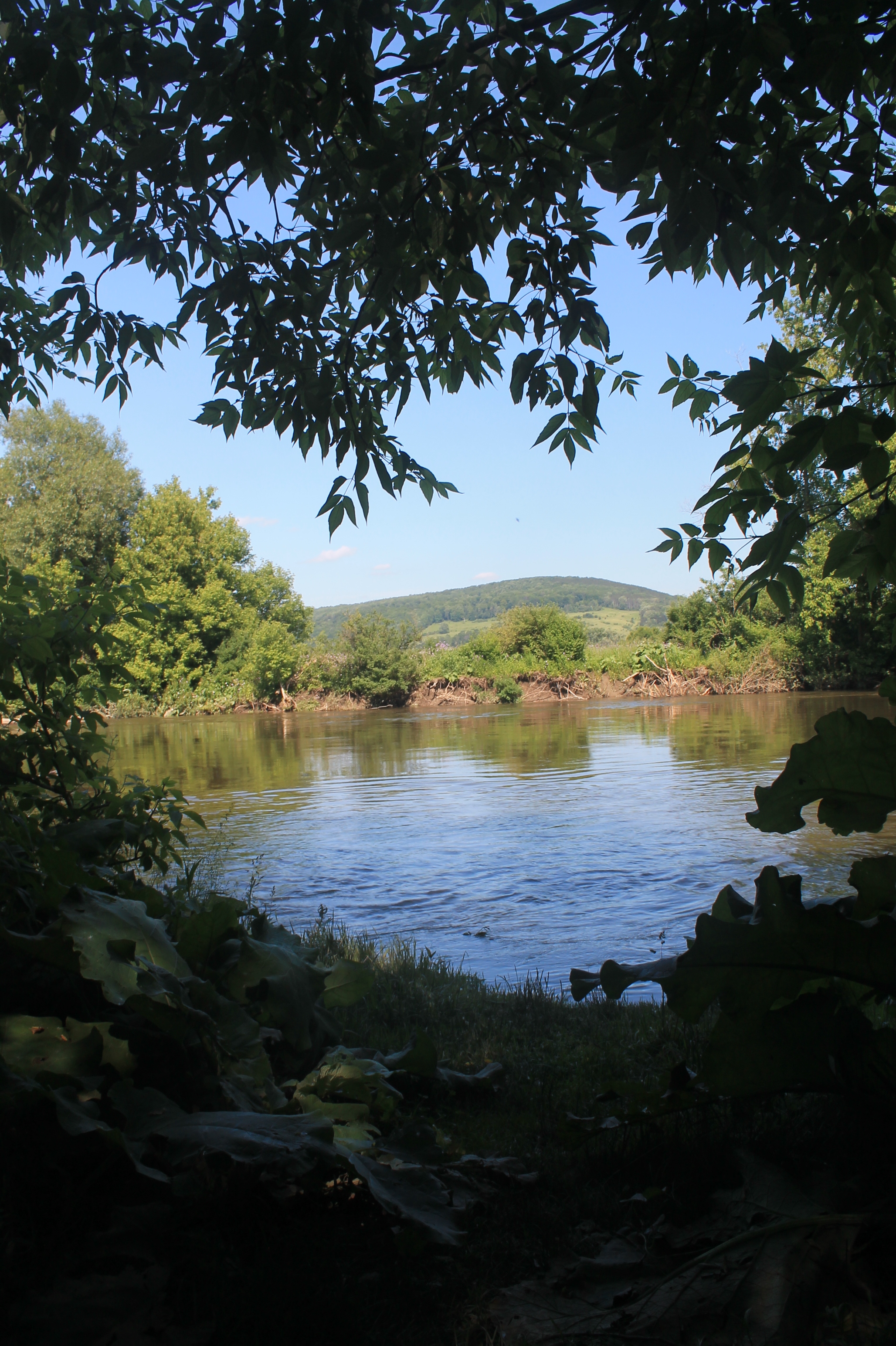
Canasawacta Creek
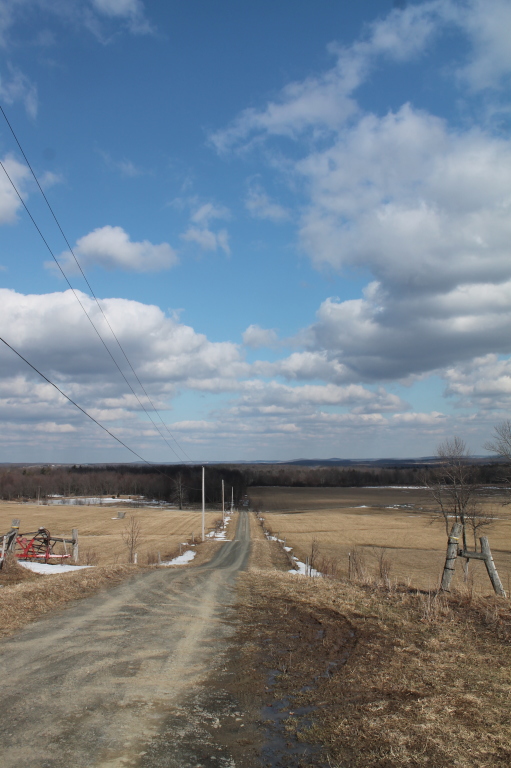
Truck Trail to Firetower

There He Is
Beyond the Blind
Hills in the Distance
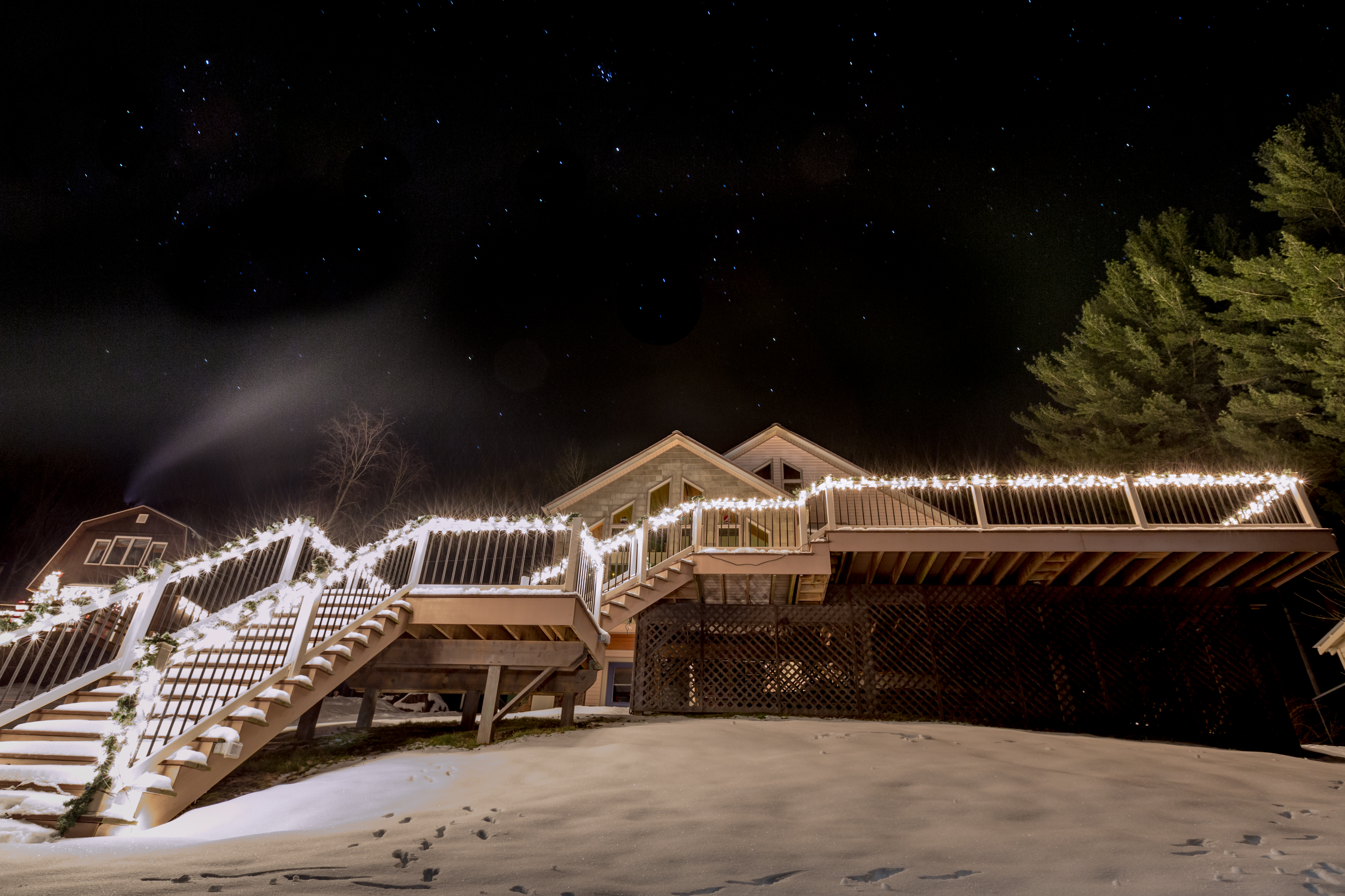
Lake Steere at night
Topographic Map of County Rd 19, Norwich, NY, USA
Find elevation by address:

Places near County Rd 19, Norwich, NY, USA:
728 County Rd 19
1416 Reservoir Hill Rd
Plymouth
515 Reservoir Hill Rd
County Rd 16, South Plymouth, NY, USA
112 Hoag-childes Rd
112 Hoag-childes Rd
344 County Rd 21
Wolf Mountain Nature Center
122 Benedict Hill Rd
214 N Rd
NY-80, Smyrna, NY, USA
Smyrna
Fur Farm Rd, Plymouth, NY, USA
Pharsalia
327 Stage Rd
Otselic
Old State Rd 26, South Otselic, NY, USA
8 Grand St, Pitcher, NY, USA
Co RD 13 Rd, Deruyter, NY, USA
Recent Searches:
- Elevation of Corso Fratelli Cairoli, 35, Macerata MC, Italy
- Elevation of Tallevast Rd, Sarasota, FL, USA
- Elevation of 4th St E, Sonoma, CA, USA
- Elevation of Black Hollow Rd, Pennsdale, PA, USA
- Elevation of Oakland Ave, Williamsport, PA, USA
- Elevation of Pedrógão Grande, Portugal
- Elevation of Klee Dr, Martinsburg, WV, USA
- Elevation of Via Roma, Pieranica CR, Italy
- Elevation of Tavkvetili Mountain, Georgia
- Elevation of Hartfords Bluff Cir, Mt Pleasant, SC, USA