Elevation of Chenango County, NY, USA
Location: United States > New York >
Longitude: -75.620808
Latitude: 42.4972314
Elevation: 471m / 1545feet
Barometric Pressure: 96KPa
Elevation Map:
Satellite Map:
Related Photos:
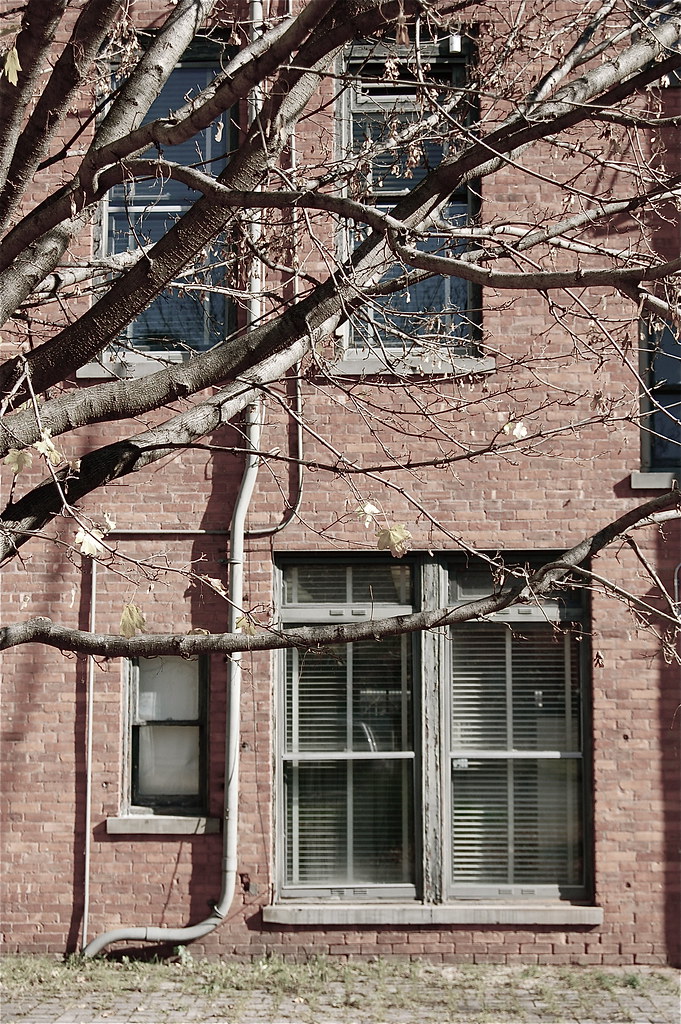
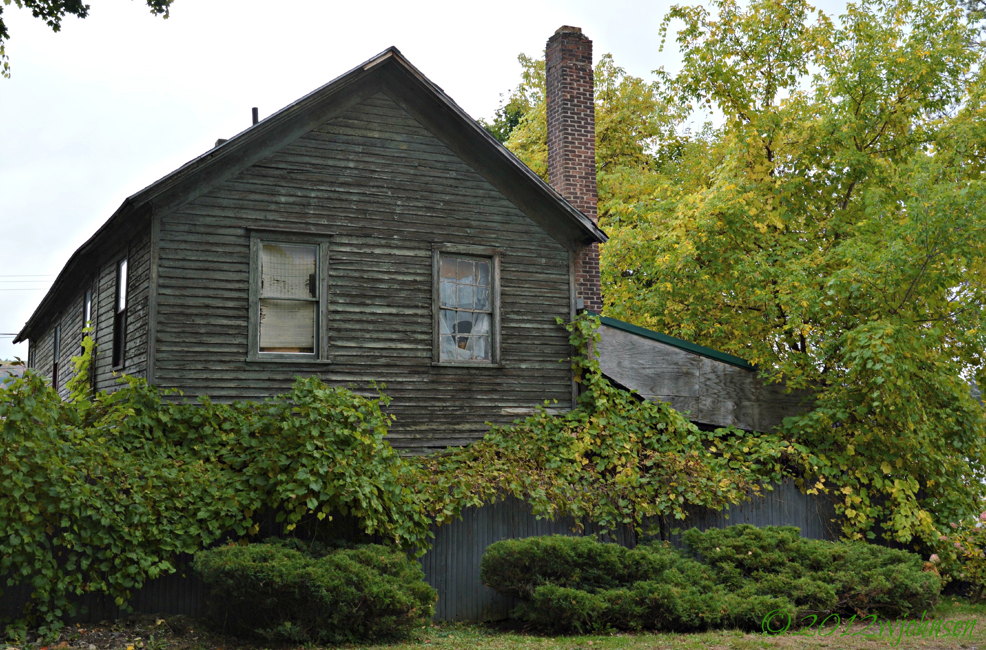
rear elevation

Nice view from my porch.

Power of Mother Nature
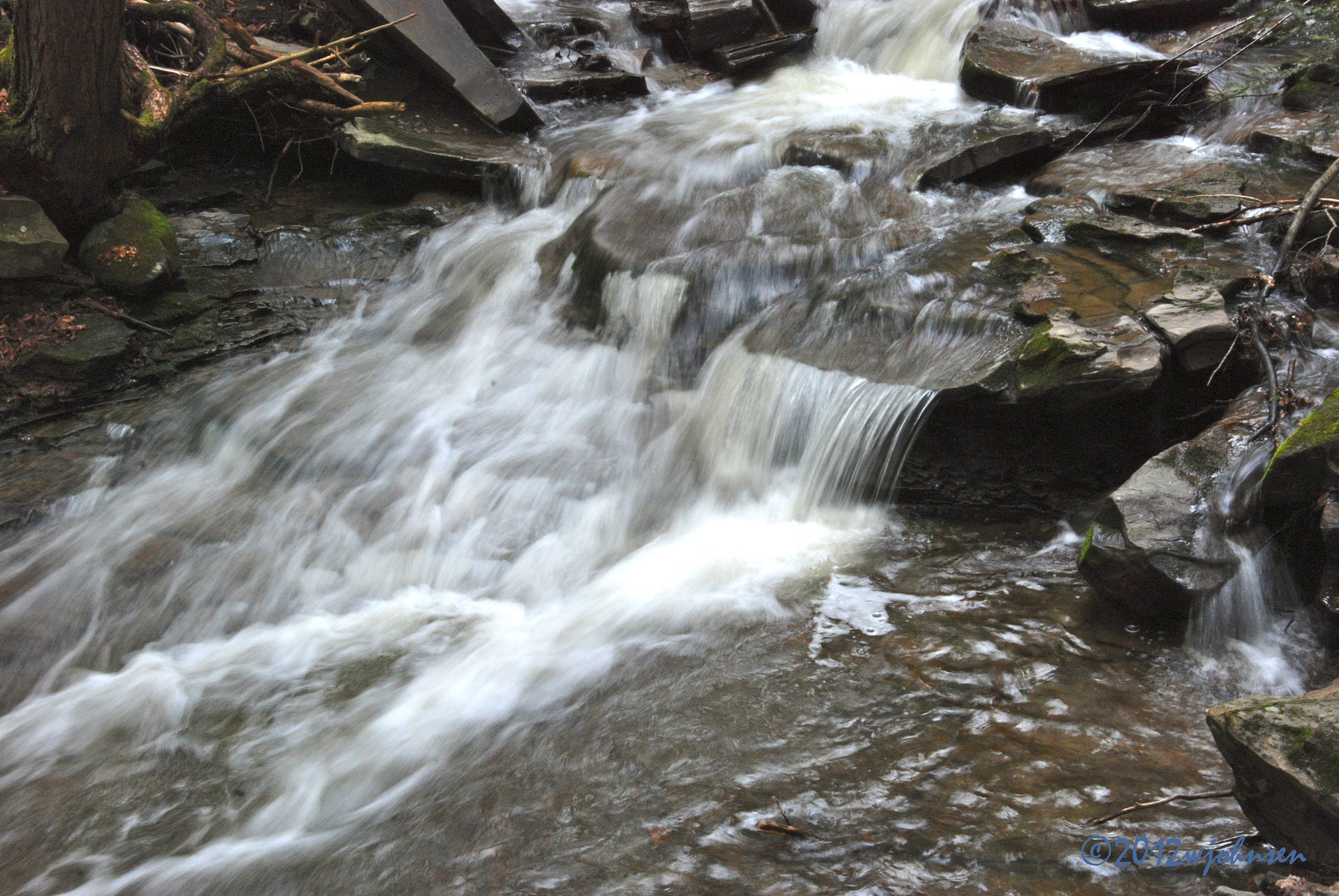
Water Falls near Elmer Jackson Road

Lake Steere at night

Lake Steere at night

Lake Steere at night

Norwich Creek

Truck Trail to Firetower
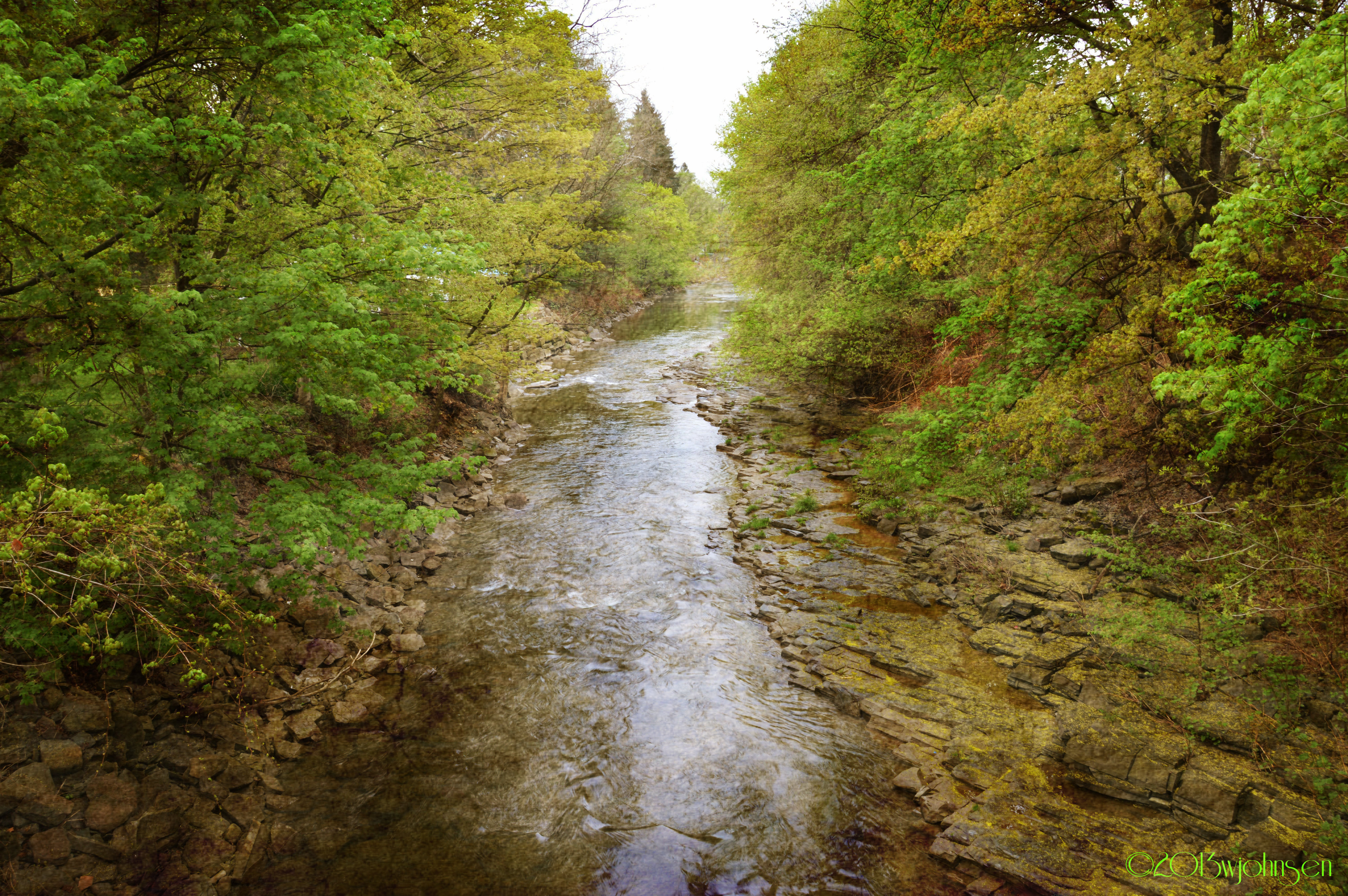
Canasawacta Creek
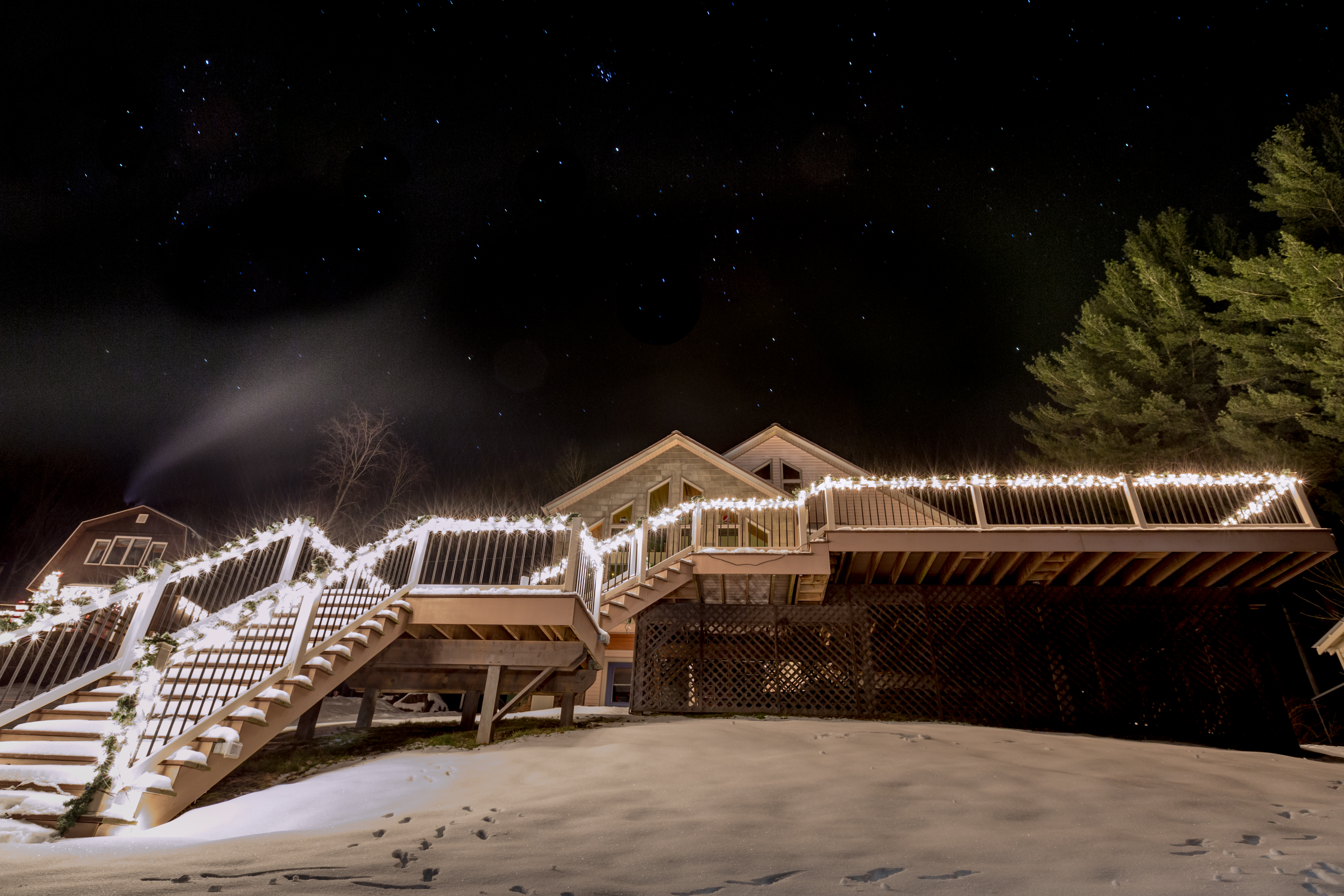
Lake Steere at night
Backside of Dukes Emporium
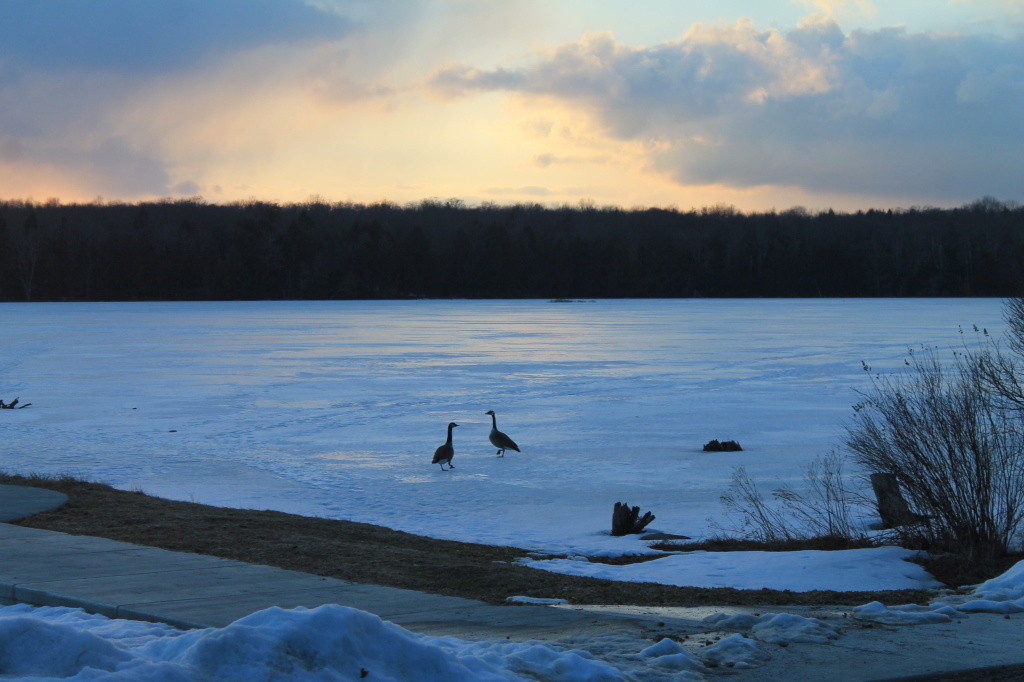
Candian Geese Looking for Forward
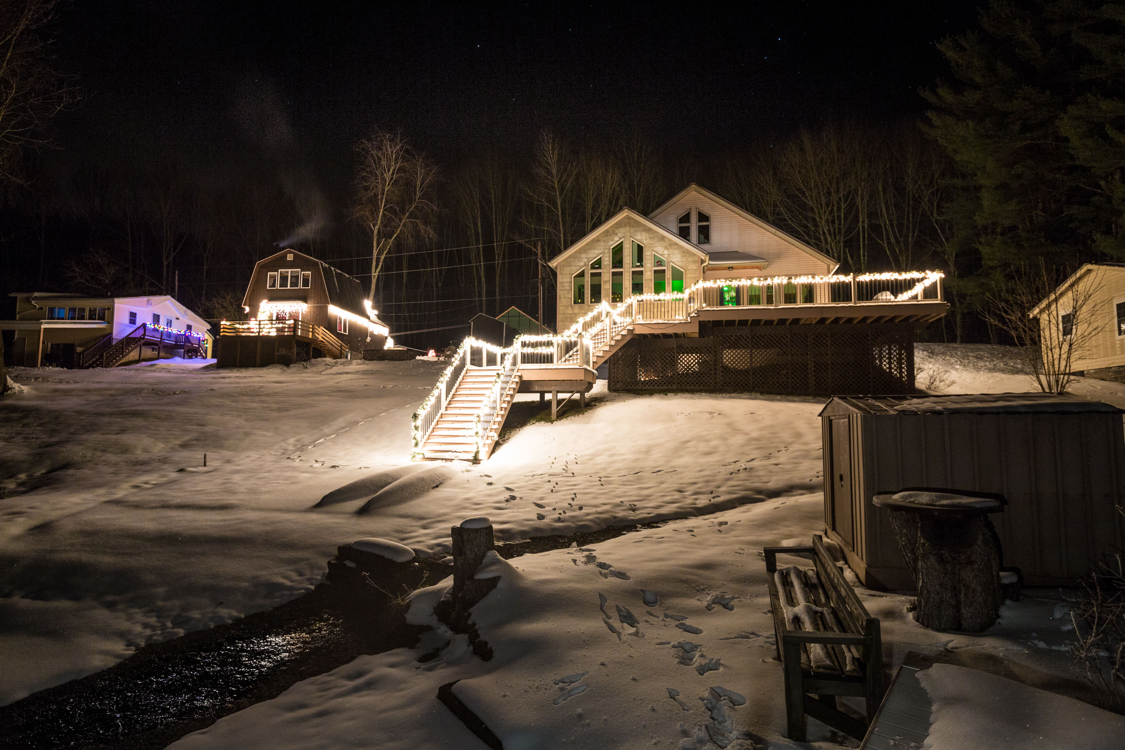
Lake Steere at night
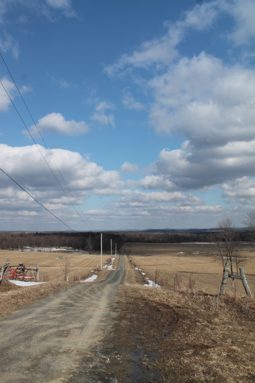
Bend in the Road
Truck Trail to Firetower
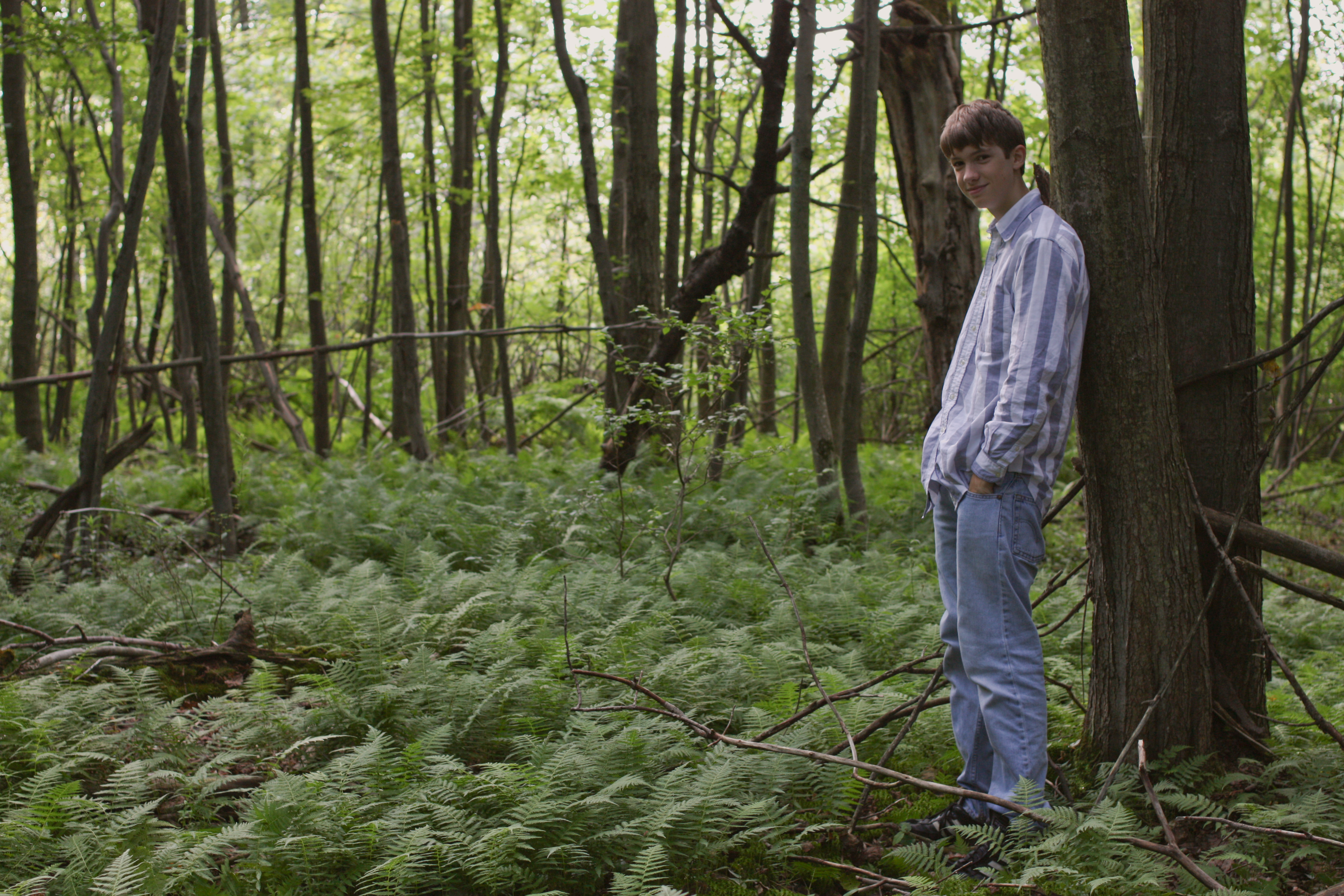
Self Portrait?
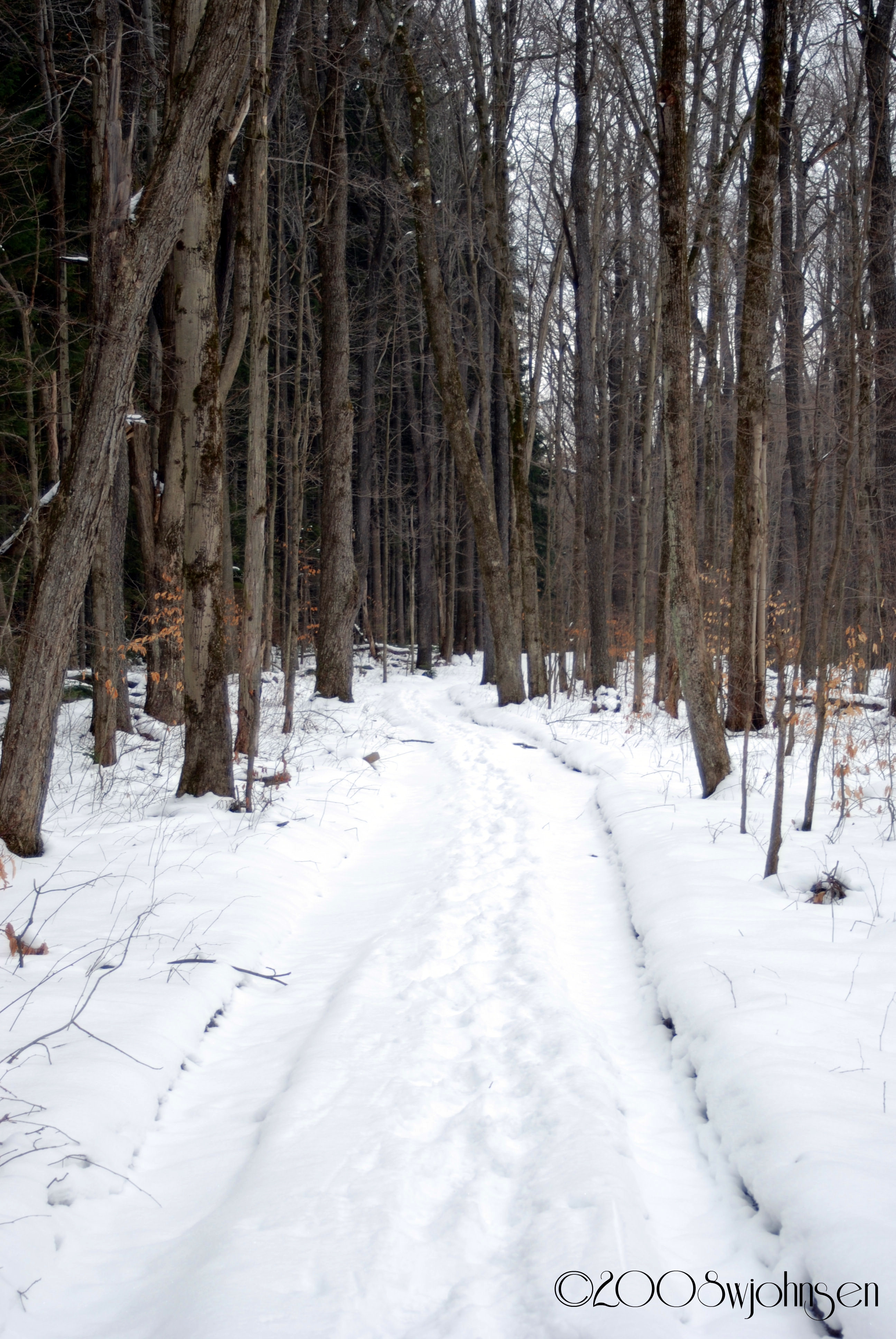
Dalton Road Hike 2008
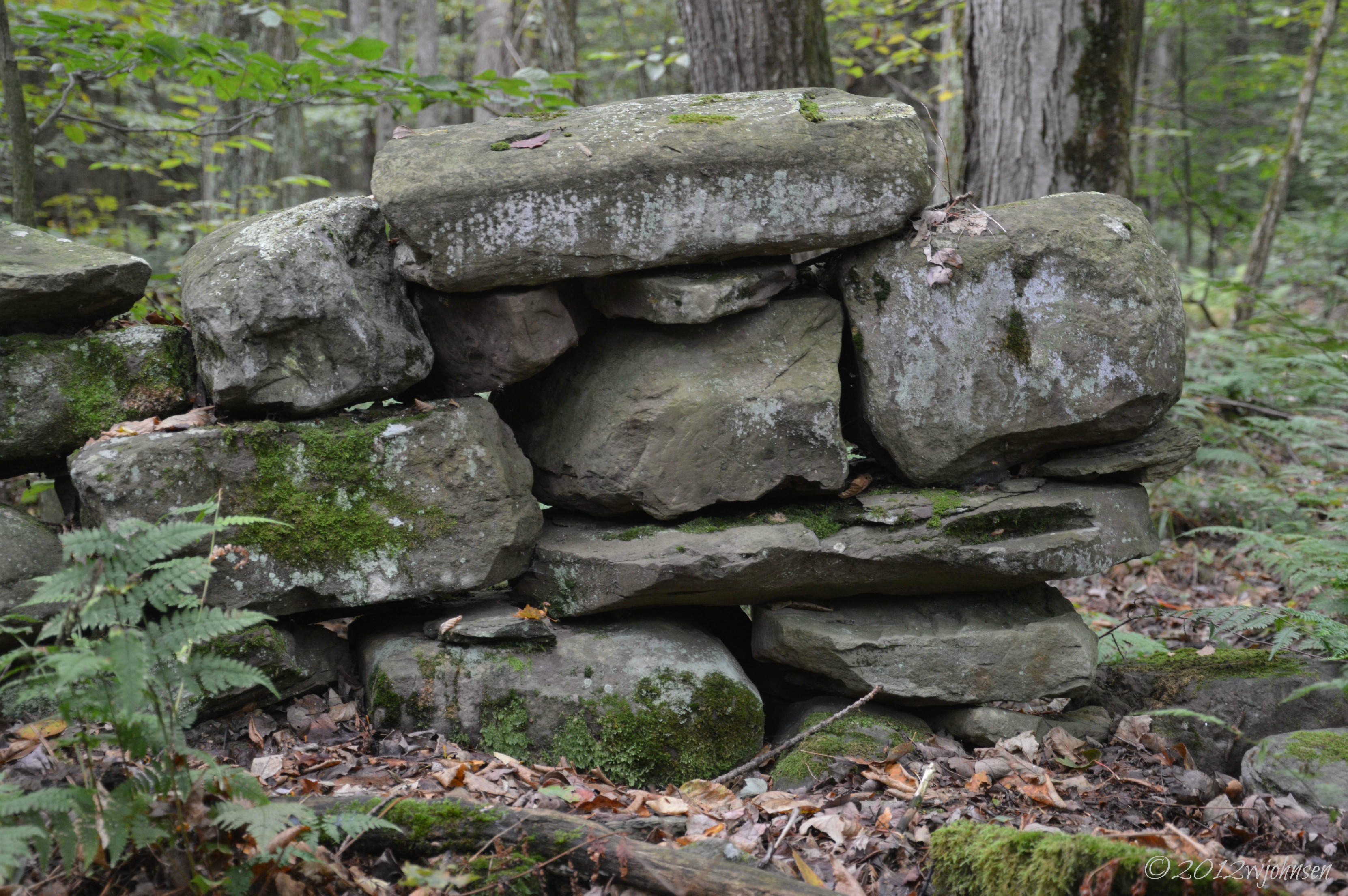
Stone Wall Lyon Brook

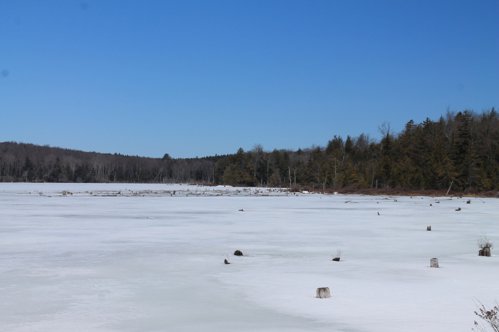
Icy Sunset
What April Looks Like at Balsam Swamp
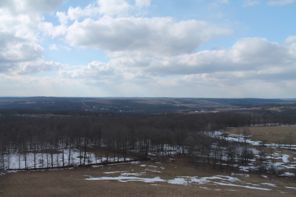
West Towards Pharsalia
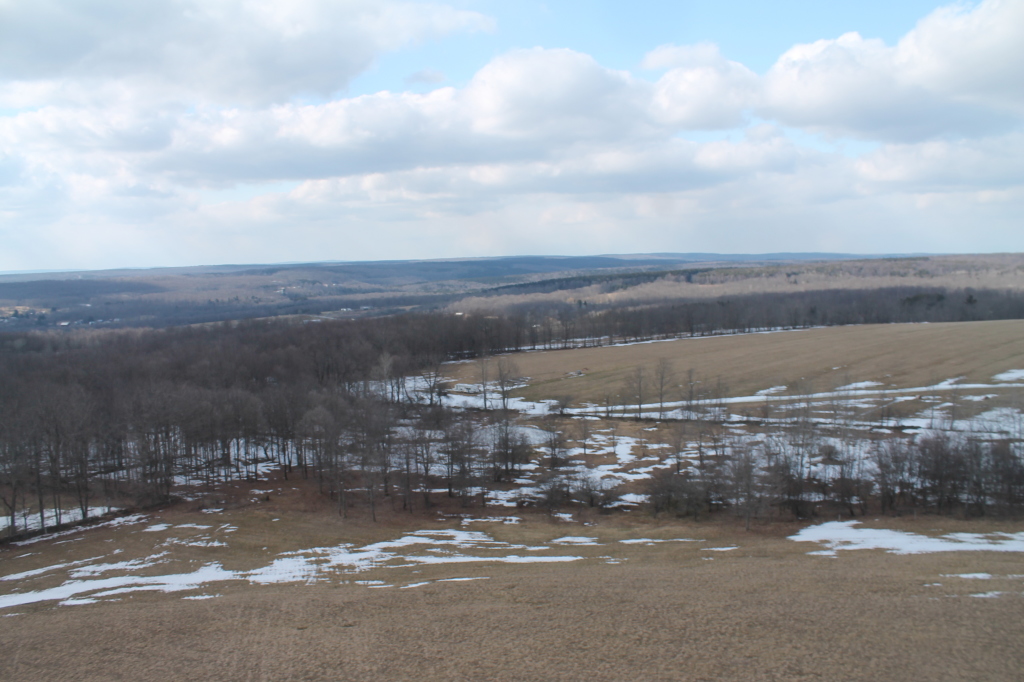
East Towards Norwich (In Valley Below)
Topographic Map of Chenango County, NY, USA
Find elevation by address:

Places in Chenango County, NY, USA:
Plymouth
New Berlin
Guilford
Smithville
Afton
Guilford
Smyrna
Mcdonough
Pitcher
Coventry
Sherburne
Bainbridge
Greene
Preston
Otselic
Whaupaunaucau Rd, Norwich, NY, USA
Co RD 5 Rd, Cincinnatus, NY, USA
Co RD 13 Rd, Deruyter, NY, USA
Kilroy Rd, Oxford, NY, USA
NY-23, Norwich, NY, USA
Old State Rd 26, South Otselic, NY, USA
County Rd 34, Norwich, NY, USA
Fur Farm Rd, Plymouth, NY, USA
NY-8, Columbus, NY, USA
County Rd 41, New Berlin, NY, USA
Oxford
Columbus
Norwich
Pharsalia
Lincklaen
Places near Chenango County, NY, USA:
Preston
334 County Rd 18
Preston
Oxford
202 Corbin Rd
531 Bradley Hill Rd
County Rd 3, Oxford, NY, USA
Buckley Hollow Rd, Oxford, NY, USA
Oxford
Pooler Road
Kilroy Rd, Oxford, NY, USA
Engaard Rd, Greene, NY, USA
Mcdonough
147 Enggaard Rd
Smithville
120 County Rd 7
Mcdonough
45 Hillview Dr, Norwich, NY, USA
Town Of Smithville
432 Cross Rd
Recent Searches:
- Elevation of Corso Fratelli Cairoli, 35, Macerata MC, Italy
- Elevation of Tallevast Rd, Sarasota, FL, USA
- Elevation of 4th St E, Sonoma, CA, USA
- Elevation of Black Hollow Rd, Pennsdale, PA, USA
- Elevation of Oakland Ave, Williamsport, PA, USA
- Elevation of Pedrógão Grande, Portugal
- Elevation of Klee Dr, Martinsburg, WV, USA
- Elevation of Via Roma, Pieranica CR, Italy
- Elevation of Tavkvetili Mountain, Georgia
- Elevation of Hartfords Bluff Cir, Mt Pleasant, SC, USA