Elevation of McDonough, NY, USA
Location: United States > New York > Chenango County > Mcdonough >
Longitude: -75.767971
Latitude: 42.498403
Elevation: 436m / 1430feet
Barometric Pressure: 96KPa
Elevation Map:
Satellite Map:
Related Photos:
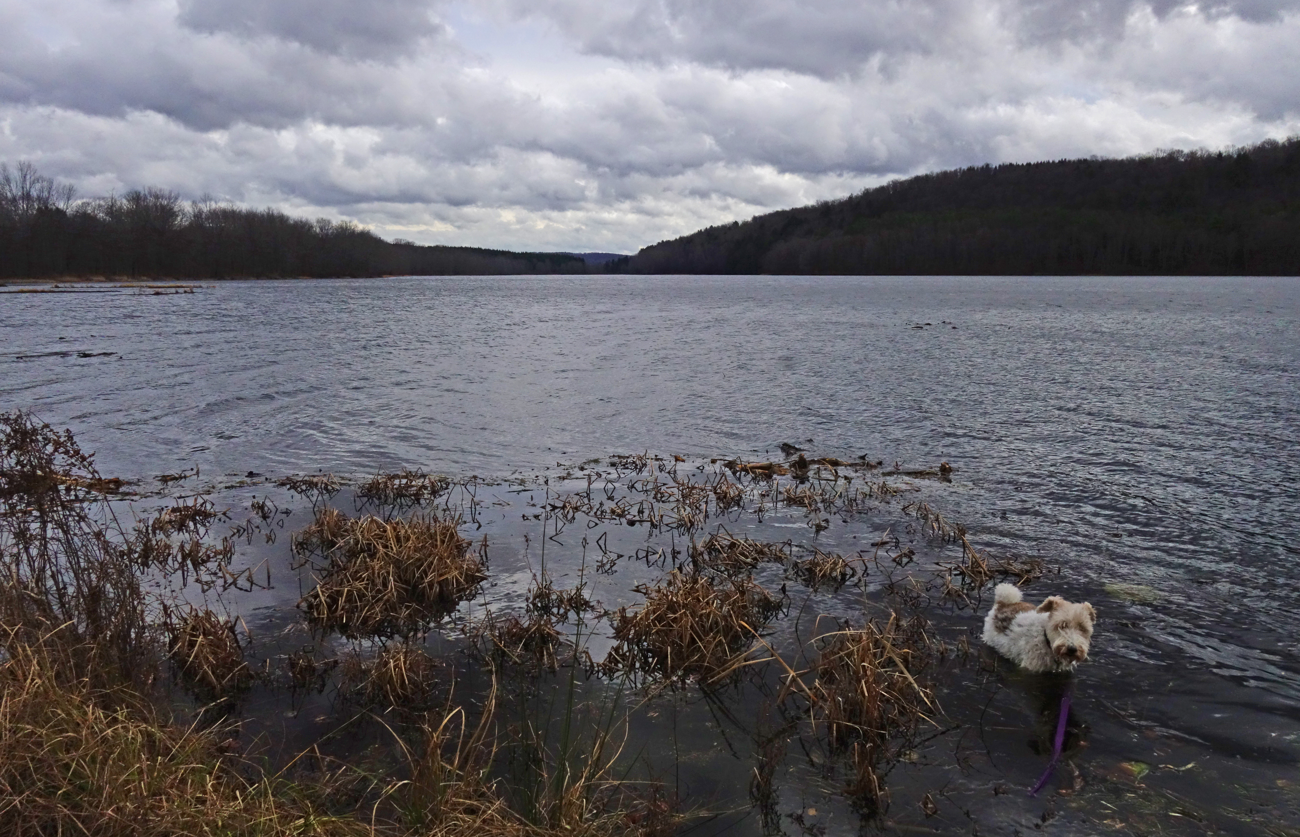
Cincinnatus Lake

Bonaparte's Gulls

View of Pond from Camp

Lake Steere at night

Lake Steere at night

Near Long Pond Farm
#Hezz #Flowers
Water Falls near Elmer Jackson Road
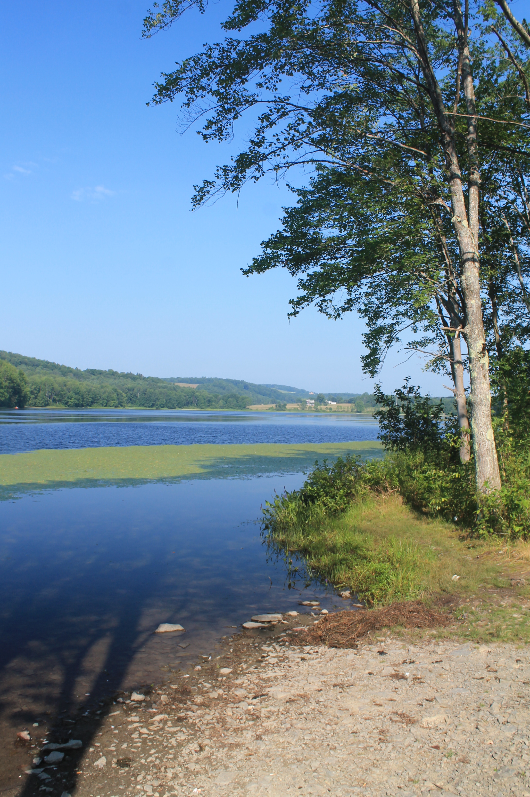
Summer Reflections

Power of Mother Nature

Lake Steere at night

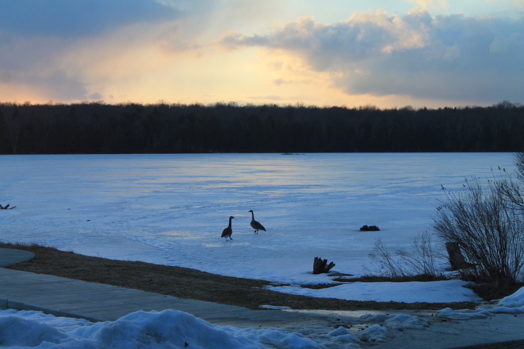
Canadian Geese at Sunset

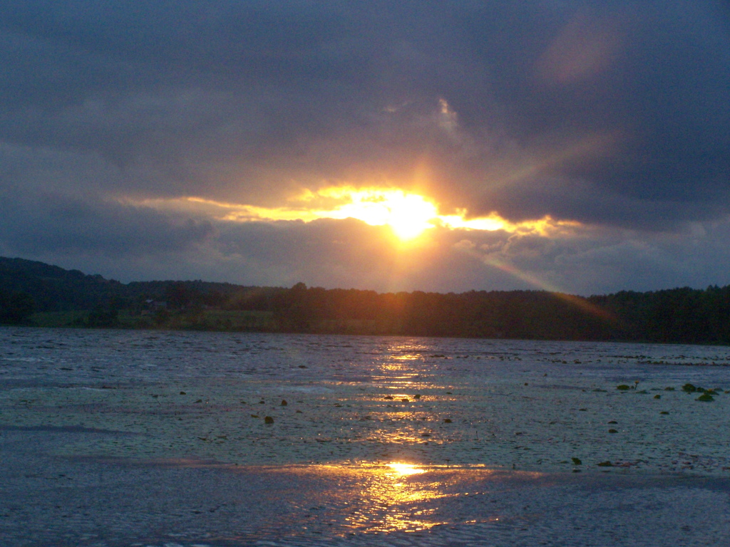
Sun Rays
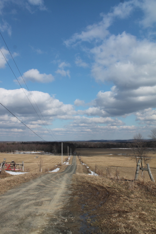
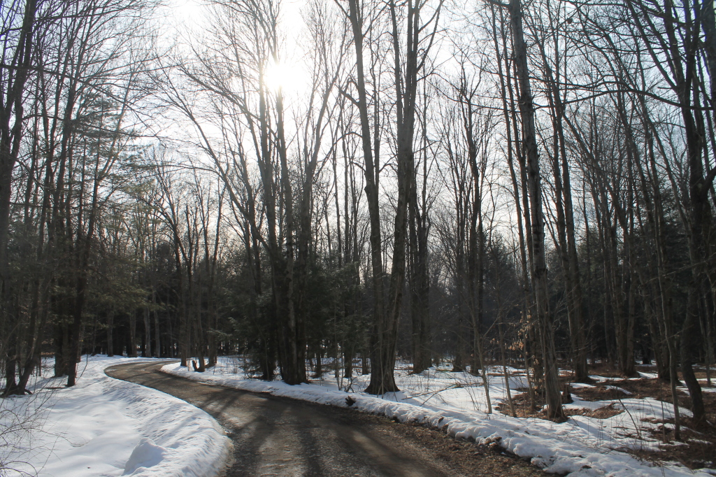
Truck Trail to Firetower
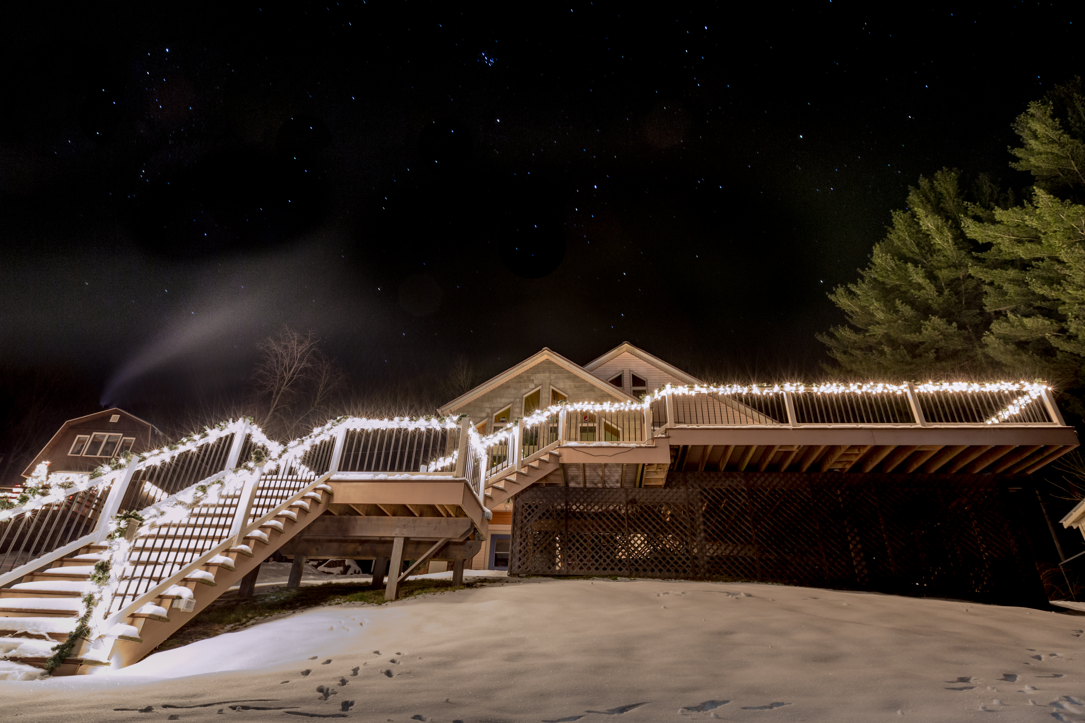
Lake Steere at night
Candian Geese Looking for Forward
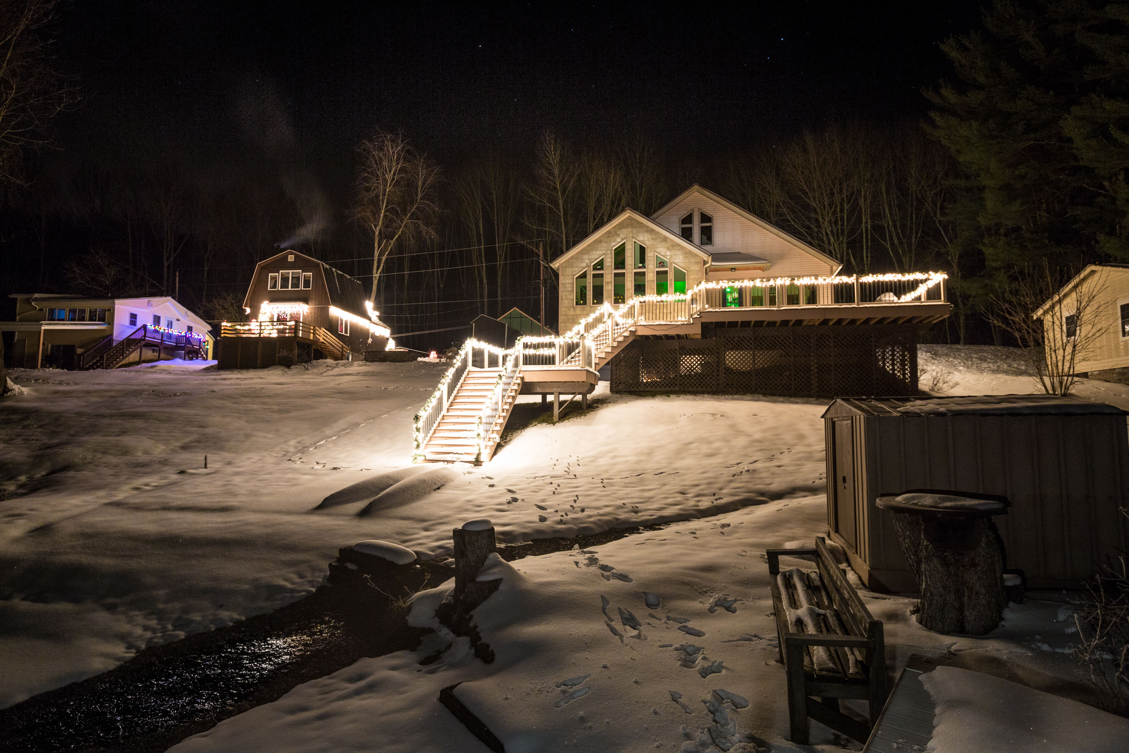
Lake Steere at night
Long Pond State Forest, McDonough, NY
Lake Shore
Bend in the Road
Reflections of Sun

Setting Sun
Self Portrait?
Topographic Map of McDonough, NY, USA
Find elevation by address:

Places in McDonough, NY, USA:
Places near McDonough, NY, USA:
45 Hillview Dr, Norwich, NY, USA
120 County Rd 7
Mcdonough
Pooler Road
432 Cross Rd
399 County Rd 5
Town Of Smithville
202 Corbin Rd
Smithville
Engaard Rd, Greene, NY, USA
Co RD 5 Rd, Cincinnatus, NY, USA
147 Enggaard Rd
County Rd 2, Smithville Flats, NY, USA
County Rd 3, Oxford, NY, USA
Webb Road
Buckley Hollow Rd, Oxford, NY, USA
Willet
Chenango County
Preston
Cincinnatus
Recent Searches:
- Elevation of Corso Fratelli Cairoli, 35, Macerata MC, Italy
- Elevation of Tallevast Rd, Sarasota, FL, USA
- Elevation of 4th St E, Sonoma, CA, USA
- Elevation of Black Hollow Rd, Pennsdale, PA, USA
- Elevation of Oakland Ave, Williamsport, PA, USA
- Elevation of Pedrógão Grande, Portugal
- Elevation of Klee Dr, Martinsburg, WV, USA
- Elevation of Via Roma, Pieranica CR, Italy
- Elevation of Tavkvetili Mountain, Georgia
- Elevation of Hartfords Bluff Cir, Mt Pleasant, SC, USA