Elevation of Cincinnatus, NY, USA
Location: United States > New York > Cortland County >
Longitude: -75.923097
Latitude: 42.5161657
Elevation: 383m / 1257feet
Barometric Pressure: 97KPa
Elevation Map:
Satellite Map:
Related Photos:

Cincinnatus Lake

Bonaparte's Gulls

View of Pond from Camp
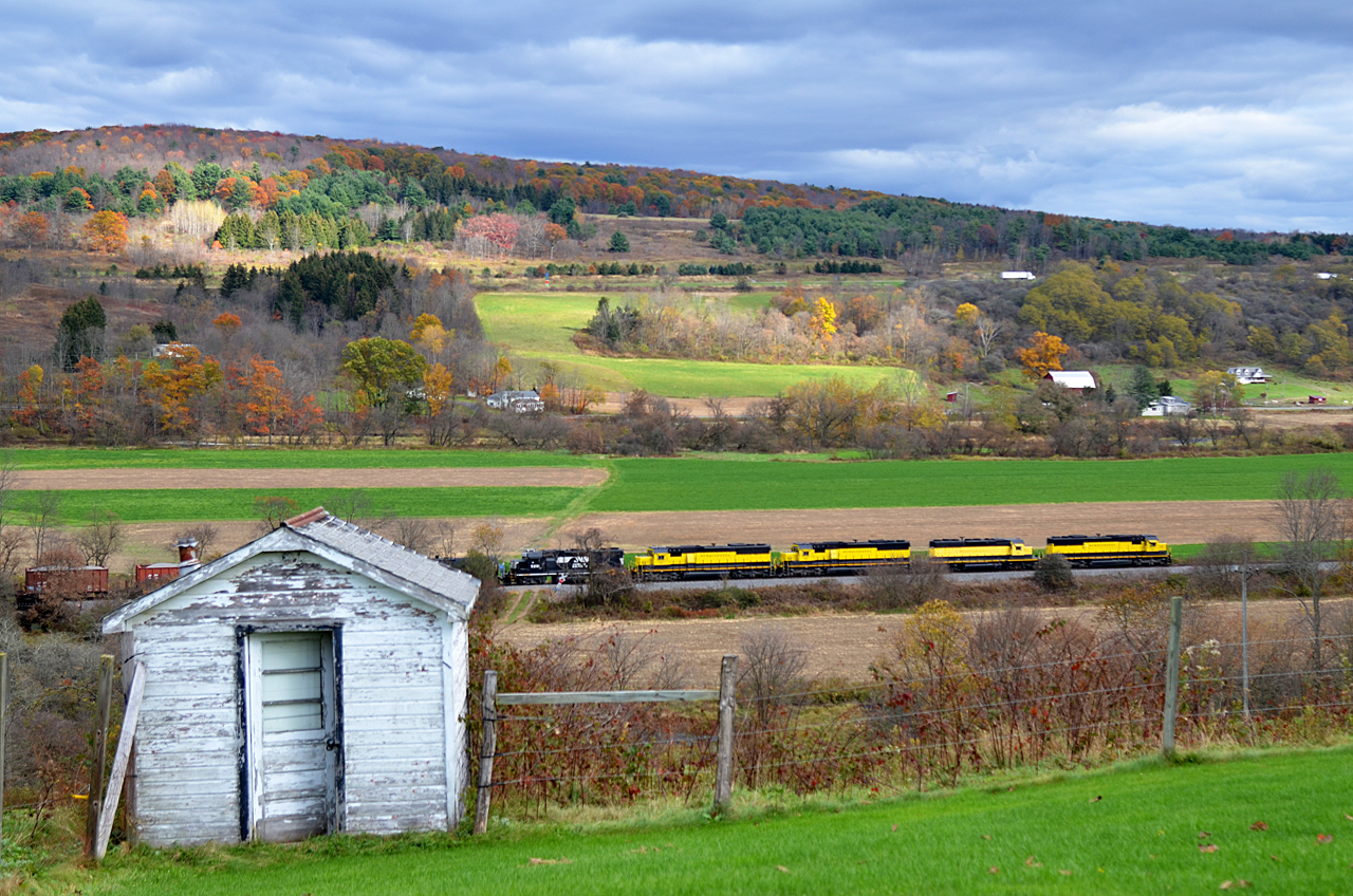
2017 10-26 1422 NYSW SD60-3800 S/B BH-1 Killawog, NY

Sun Rays

Vernal Pools

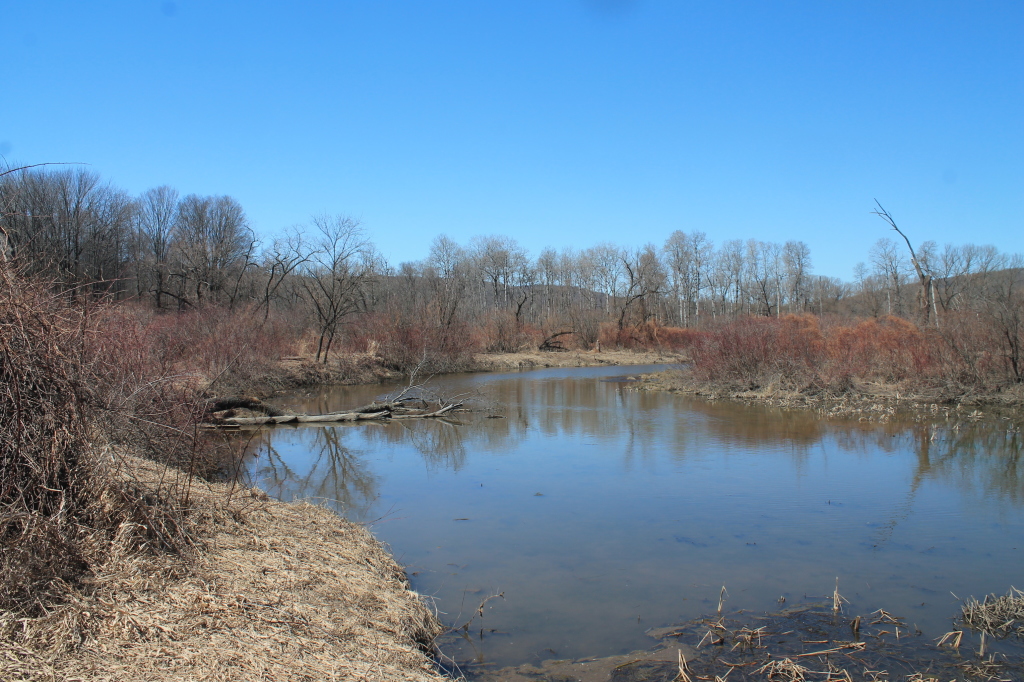
Lake Shore

At the Shore

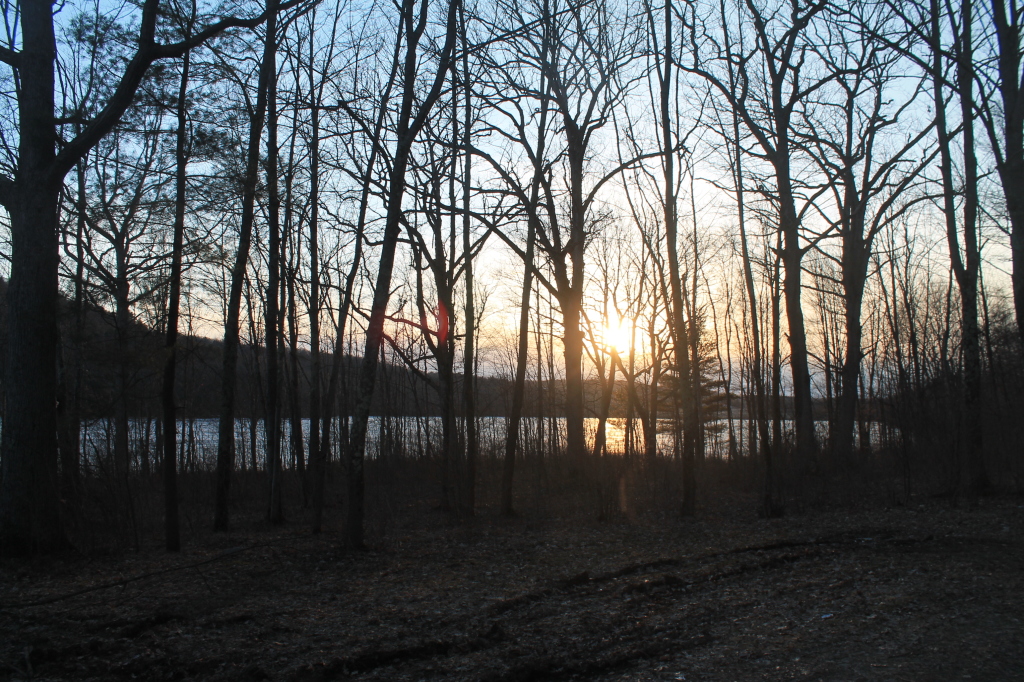
Setting Sun Over Frozen Lake

Reflections of Sun

White Birch Planation

Candian Geese Looking for Forward

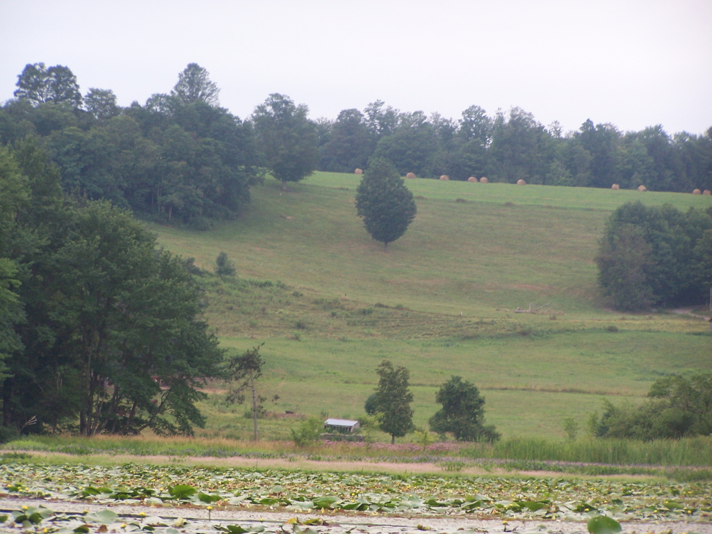
Bailed Hay Along Pond

Bend in the Road
Setting Sun
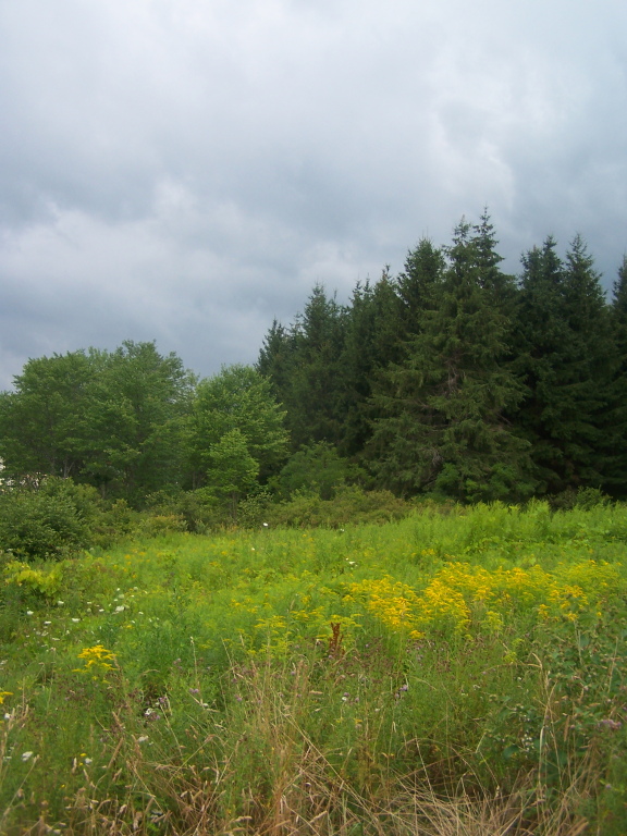
Golden Rod, Trees, Clouds
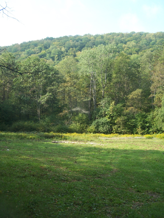
Open Field in Back of Former CC Camp

Blue Skies
Looks Nice For Paddling

Wetlands Along Reservior

Whitney Point Reservior from Upper Lisle

Edge of a Vernal Pool
Farm Field Along Pond
Topographic Map of Cincinnatus, NY, USA
Find elevation by address:

Places near Cincinnatus, NY, USA:
Willet
Co RD 5 Rd, Cincinnatus, NY, USA
Webb Road
Willet
399 County Rd 5
432 Cross Rd
101 Rogers Hill Rd
910 Page Brook Rd
498 Page Brook Rd
464 Page Brook Rd
45 Hillview Dr, Norwich, NY, USA
Mcdonough
120 County Rd 7
County Rd 2, Smithville Flats, NY, USA
Mcdonough
Town Of Smithville
Pooler Road
Smithville
Engaard Rd, Greene, NY, USA
147 Enggaard Rd
Recent Searches:
- Elevation of Corso Fratelli Cairoli, 35, Macerata MC, Italy
- Elevation of Tallevast Rd, Sarasota, FL, USA
- Elevation of 4th St E, Sonoma, CA, USA
- Elevation of Black Hollow Rd, Pennsdale, PA, USA
- Elevation of Oakland Ave, Williamsport, PA, USA
- Elevation of Pedrógão Grande, Portugal
- Elevation of Klee Dr, Martinsburg, WV, USA
- Elevation of Via Roma, Pieranica CR, Italy
- Elevation of Tavkvetili Mountain, Georgia
- Elevation of Hartfords Bluff Cir, Mt Pleasant, SC, USA