Elevation of County Rd 18, Oxford, NY, USA
Location: United States > New York > Chenango County > Oxford > Oxford >
Longitude: -75.605345
Latitude: 42.4646539
Elevation: 450m / 1476feet
Barometric Pressure: 96KPa
Elevation Map:
Satellite Map:
Related Photos:

Lyon Brook Trestle, April 1959

Early evening view from Calvary Drive in Norwich, NY

Mom's View

Canasawacta Creek

rear elevation

The House I Grew Up In, 1961

D. L. & W. RR Bridge, Norwich, NY

Norwich, New York, 1964

Lyon Brook Trestle, June, 1965

January Thaw, 1959, Norwich NY

Lake Steere at night

Lake Steere at night

Early Autumn on the Canasawacta

Backside of Dukes Emporium
NY Ontario & Western ROW, Norwich, NY

Lake Steere at night

Chenango River in Chenango County, N.Y.

Chenango River in Chenango County, N.Y.

Chenango River in Chenango County, N.Y.

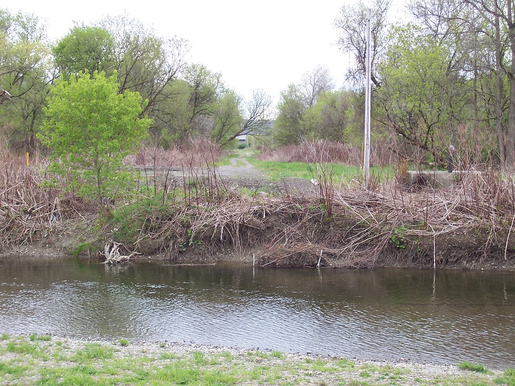
Canasawacta Creek

Candian Geese Looking for Forward

Bend in the Road

Lake Steere at night

Lake Steere at night

Icy Sunset
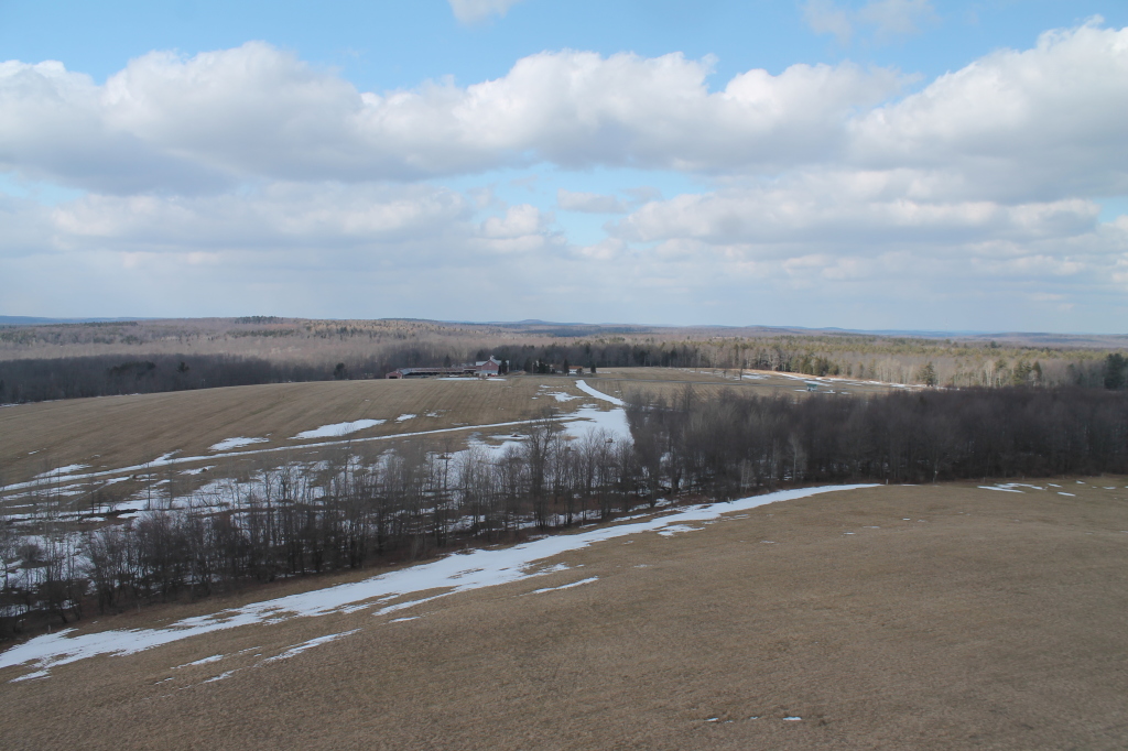
New Michigan State Forest

What April Looks Like at Balsam Swamp

Truck Trail to Firetower

Stone Wall Lyon Brook

East Towards Norwich (In Valley Below)
Topographic Map of County Rd 18, Oxford, NY, USA
Find elevation by address:

Places near County Rd 18, Oxford, NY, USA:
Oxford
531 Bradley Hill Rd
Chenango County
Preston
Oxford
Preston
County Rd 3, Oxford, NY, USA
Kilroy Rd, Oxford, NY, USA
202 Corbin Rd
Buckley Hollow Rd, Oxford, NY, USA
Engaard Rd, Greene, NY, USA
147 Enggaard Rd
Pooler Road
Mcdonough
Smithville
Town Of Smithville
120 County Rd 7
Mcdonough
45 Hillview Dr, Norwich, NY, USA
County Rd 2, Smithville Flats, NY, USA
Recent Searches:
- Elevation of Corso Fratelli Cairoli, 35, Macerata MC, Italy
- Elevation of Tallevast Rd, Sarasota, FL, USA
- Elevation of 4th St E, Sonoma, CA, USA
- Elevation of Black Hollow Rd, Pennsdale, PA, USA
- Elevation of Oakland Ave, Williamsport, PA, USA
- Elevation of Pedrógão Grande, Portugal
- Elevation of Klee Dr, Martinsburg, WV, USA
- Elevation of Via Roma, Pieranica CR, Italy
- Elevation of Tavkvetili Mountain, Georgia
- Elevation of Hartfords Bluff Cir, Mt Pleasant, SC, USA