Elevation of Kilroy Rd, Oxford, NY, USA
Location: United States > New York > Chenango County >
Longitude: -75.621428
Latitude: 42.387827
Elevation: 310m / 1017feet
Barometric Pressure: 98KPa
Elevation Map:
Satellite Map:
Related Photos:
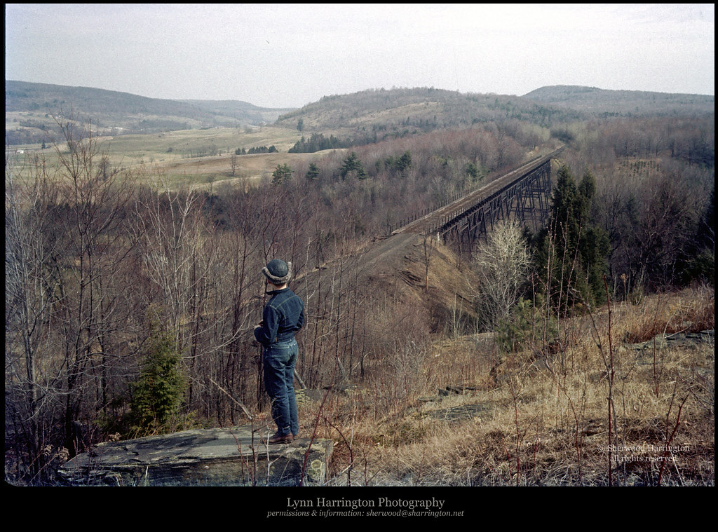
Lyon Brook Trestle, April 1959

Lake Steere at night

Chenango River in Broome County, N.Y.

Chenango River in Broome County, N.Y.

Lake Steere at night

Lake Steere at night

CP 253
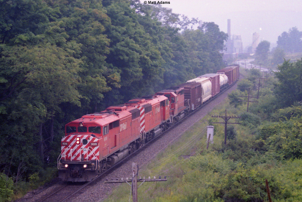
CP 253
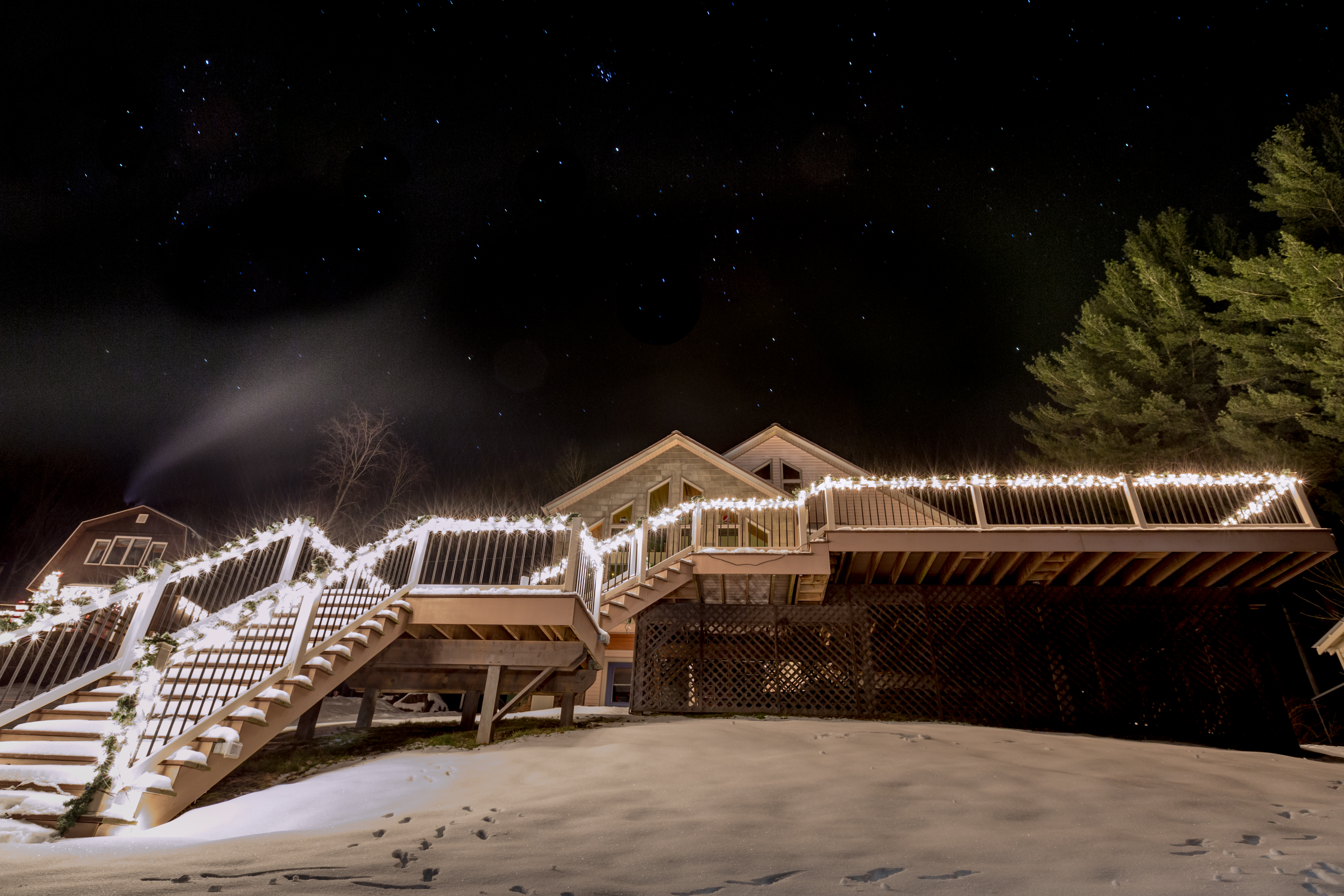
Lake Steere at night
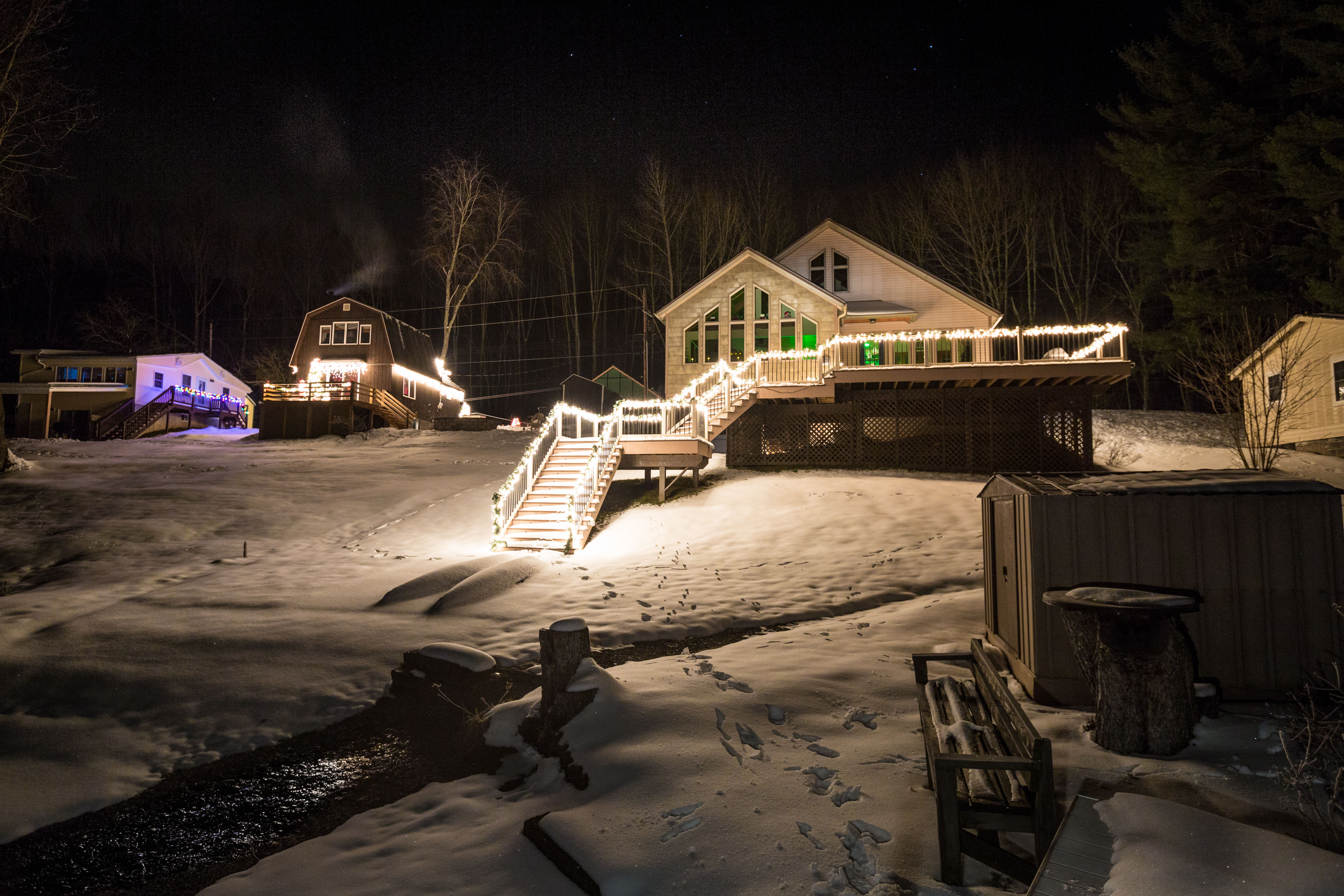
Lake Steere at night
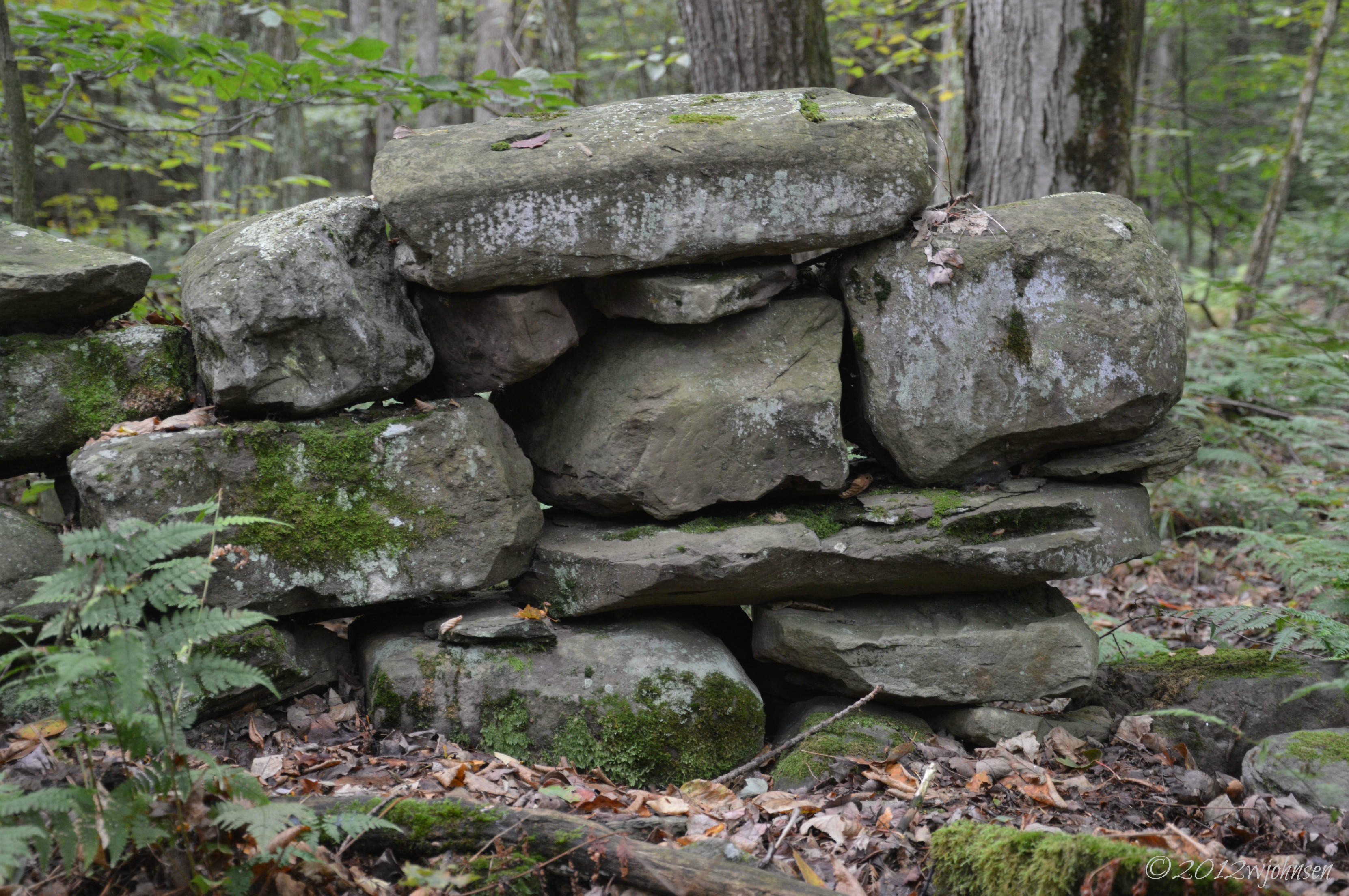
Stone Wall Lyon Brook

Chenango River in Broome County, N.Y.
Topographic Map of Kilroy Rd, Oxford, NY, USA
Find elevation by address:

Places near Kilroy Rd, Oxford, NY, USA:
Oxford
Buckley Hollow Rd, Oxford, NY, USA
531 Bradley Hill Rd
Oxford
County Rd 3, Oxford, NY, USA
334 County Rd 18
147 Enggaard Rd
Engaard Rd, Greene, NY, USA
202 Corbin Rd
Chenango County
Smithville
Preston
Town Of Smithville
Preston
Pooler Road
Mcdonough
120 County Rd 7
Mcdonough
45 Hillview Dr, Norwich, NY, USA
County Rd 2, Smithville Flats, NY, USA
Recent Searches:
- Elevation of Corso Fratelli Cairoli, 35, Macerata MC, Italy
- Elevation of Tallevast Rd, Sarasota, FL, USA
- Elevation of 4th St E, Sonoma, CA, USA
- Elevation of Black Hollow Rd, Pennsdale, PA, USA
- Elevation of Oakland Ave, Williamsport, PA, USA
- Elevation of Pedrógão Grande, Portugal
- Elevation of Klee Dr, Martinsburg, WV, USA
- Elevation of Via Roma, Pieranica CR, Italy
- Elevation of Tavkvetili Mountain, Georgia
- Elevation of Hartfords Bluff Cir, Mt Pleasant, SC, USA