Elevation of Pharsalia, NY, USA
Location: United States > New York > Chenango County >
Longitude: -75.737149
Latitude: 42.6081425
Elevation: 563m / 1847feet
Barometric Pressure: 95KPa
Elevation Map:
Satellite Map:
Related Photos:

Upper And Lower Views Of Upperville Falls

Lake Steere at night

Lake Steere at night

Lake Steere at night

spruce, i

Candian Geese Looking for Forward

Bend in the Road

Power of Mother Nature

Early Autumn on the Canasawacta

Lake Steere at night

Lake Steere at night

Icy Sunset
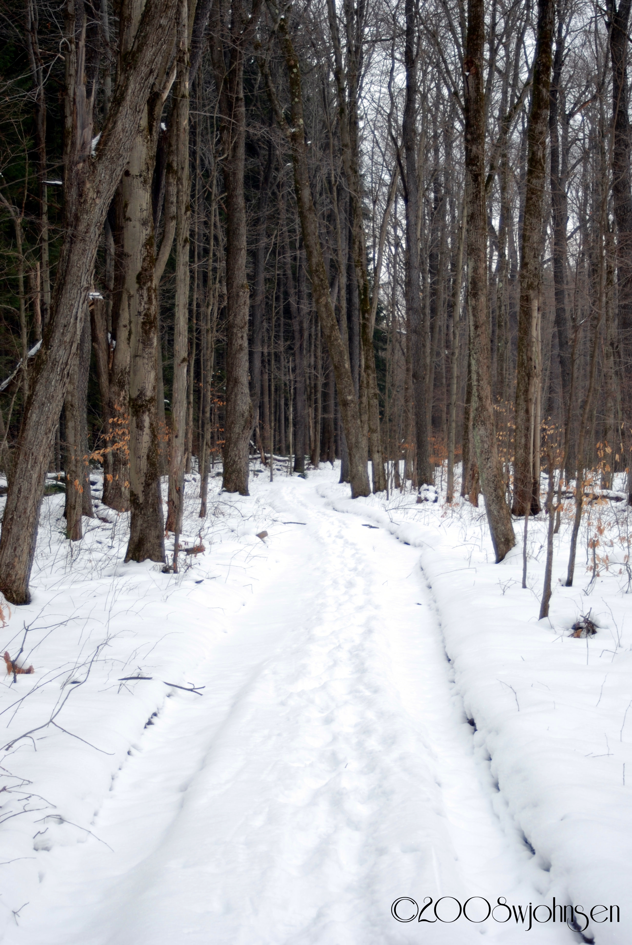
Dalton Road Hike 2008

Water Falls near Elmer Jackson Road
New Michigan State Forest

What April Looks Like at Balsam Swamp

Truck Trail to Firetower

East Towards Norwich (In Valley Below)

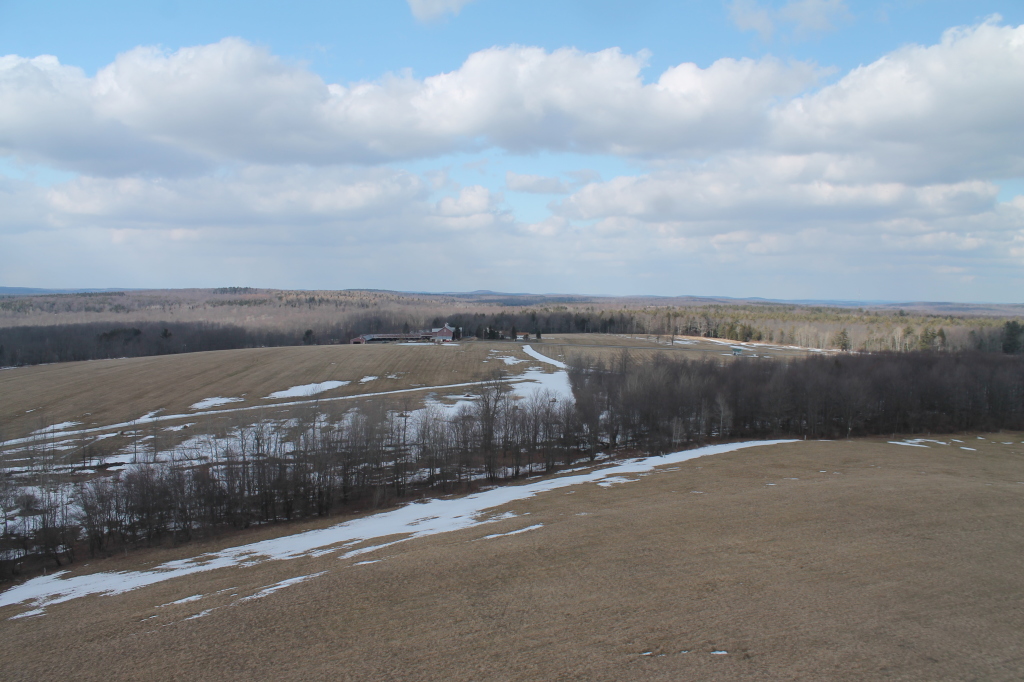
West Towards Pharsalia

Canadian Geese at Sunset

#Hezz #Flowers
Topographic Map of Pharsalia, NY, USA
Find elevation by address:

Places near Pharsalia, NY, USA:
214 N Rd
327 Stage Rd
122 Benedict Hill Rd
Fur Farm Rd, Plymouth, NY, USA
Otselic
Old State Rd 26, South Otselic, NY, USA
8 Grand St, Pitcher, NY, USA
112 Hoag-childes Rd
112 Hoag-childes Rd
Co RD 13 Rd, Deruyter, NY, USA
Pitcher
515 Reservoir Hill Rd
Lincklaen
Pitcher
County Rd 16, South Plymouth, NY, USA
Wolf Mountain Nature Center
Plymouth
Hydeville Rd, Deruyter, NY, USA
344 County Rd 21
1416 Reservoir Hill Rd
Recent Searches:
- Elevation of Corso Fratelli Cairoli, 35, Macerata MC, Italy
- Elevation of Tallevast Rd, Sarasota, FL, USA
- Elevation of 4th St E, Sonoma, CA, USA
- Elevation of Black Hollow Rd, Pennsdale, PA, USA
- Elevation of Oakland Ave, Williamsport, PA, USA
- Elevation of Pedrógão Grande, Portugal
- Elevation of Klee Dr, Martinsburg, WV, USA
- Elevation of Via Roma, Pieranica CR, Italy
- Elevation of Tavkvetili Mountain, Georgia
- Elevation of Hartfords Bluff Cir, Mt Pleasant, SC, USA