Elevation of County Rd 21, Plymouth, NY, USA
Location: United States > New York > Chenango County > Plymouth >
Longitude: -75.5938319
Latitude: 42.6344436
Elevation: 471m / 1545feet
Barometric Pressure: 0KPa
Related Photos:

Opera House

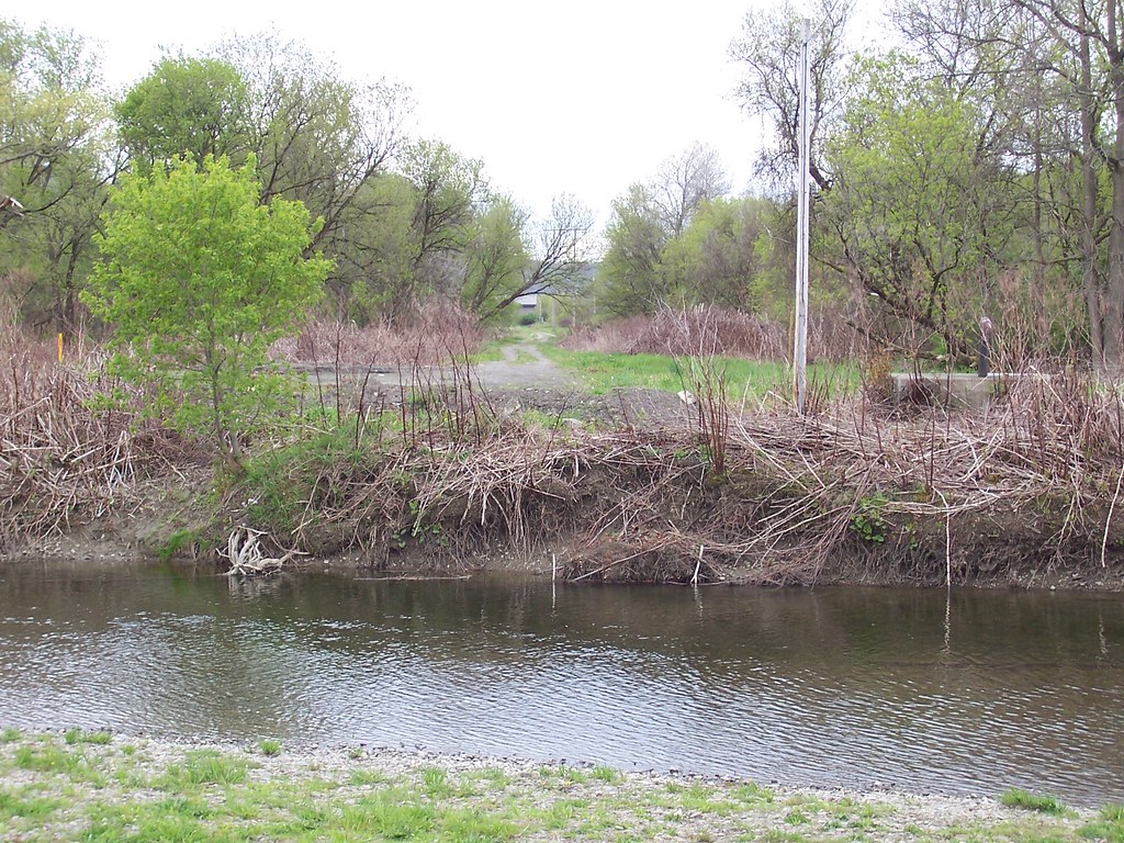
Canasawacta Creek

rear elevation

Marsh Wren

Marsh Wren

Upper And Lower Views Of Upperville Falls

D. L. & W. RR Bridge, Norwich, NY

Marsh Wren

View from Farm Tower

View from Farm Tower

Drainage Ditch Along Farm Field

Tributary of Chenango River

frozen in time

Lake Steere at night

In the Chenango Valley

The Chenango River

Lake Steere at night

Farm Tower Trail

Lake Steere at night
NY Ontario & Western ROW, Norwich, NY

Under The Bridge At Upperville Falls

Dilly Hill

Power Lines

Ponds at Adams Farm Parcel

Muddy Farm Field
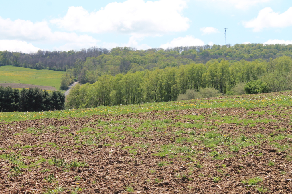
Farm Field

Walking Through the Woods

Canasawacta Creek

Lean-Tos Along Ponds

Chenango River Flooding Farm Field
Topographic Map of County Rd 21, Plymouth, NY, USA
Find elevation by address:

Places near County Rd 21, Plymouth, NY, USA:
County Rd 16, South Plymouth, NY, USA
Wolf Mountain Nature Center
Plymouth
1416 Reservoir Hill Rd
515 Reservoir Hill Rd
NY-80, Smyrna, NY, USA
Smyrna
728 County Rd 19
728 County Rd 19
122 Benedict Hill Rd
112 Hoag-childes Rd
112 Hoag-childes Rd
Fur Farm Rd, Plymouth, NY, USA
214 N Rd
Pharsalia
327 Stage Rd
Otselic
Old State Rd 26, South Otselic, NY, USA
Co RD 13 Rd, Deruyter, NY, USA
8 Grand St, Pitcher, NY, USA
Recent Searches:
- Elevation map of Greenland, Greenland
- Elevation of Sullivan Hill, New York, New York, 10002, USA
- Elevation of Morehead Road, Withrow Downs, Charlotte, Mecklenburg County, North Carolina, 28262, USA
- Elevation of 2800, Morehead Road, Withrow Downs, Charlotte, Mecklenburg County, North Carolina, 28262, USA
- Elevation of Yangbi Yi Autonomous County, Yunnan, China
- Elevation of Pingpo, Yangbi Yi Autonomous County, Yunnan, China
- Elevation of Mount Malong, Pingpo, Yangbi Yi Autonomous County, Yunnan, China
- Elevation map of Yongping County, Yunnan, China
- Elevation of North 8th Street, Palatka, Putnam County, Florida, 32177, USA
- Elevation of 107, Big Apple Road, East Palatka, Putnam County, Florida, 32131, USA
- Elevation of Jiezi, Chongzhou City, Sichuan, China
- Elevation of Chongzhou City, Sichuan, China
- Elevation of Huaiyuan, Chongzhou City, Sichuan, China
- Elevation of Qingxia, Chengdu, Sichuan, China
- Elevation of Corso Fratelli Cairoli, 35, Macerata MC, Italy
- Elevation of Tallevast Rd, Sarasota, FL, USA
- Elevation of 4th St E, Sonoma, CA, USA
- Elevation of Black Hollow Rd, Pennsdale, PA, USA
- Elevation of Oakland Ave, Williamsport, PA, USA
- Elevation of Pedrógão Grande, Portugal