Elevation of Co RD 13 Rd, Deruyter, NY, USA
Location: United States > New York > Chenango County >
Longitude: -75.799658
Latitude: 42.677473
Elevation: 424m / 1391feet
Barometric Pressure: 96KPa
Elevation Map:
Satellite Map:
Related Photos:

#view from my room #discoverihg #binghamton #southerntier #newyork

An American Tragedy

Grace Brown ~ Rest in Peace
Upper And Lower Views Of Upperville Falls
Self Portrait?

Power of Mother Nature
Spicer Falls
Under The Bridge At Upperville Falls

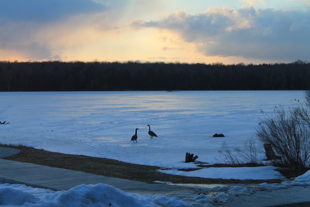
Canadian Geese at Sunset
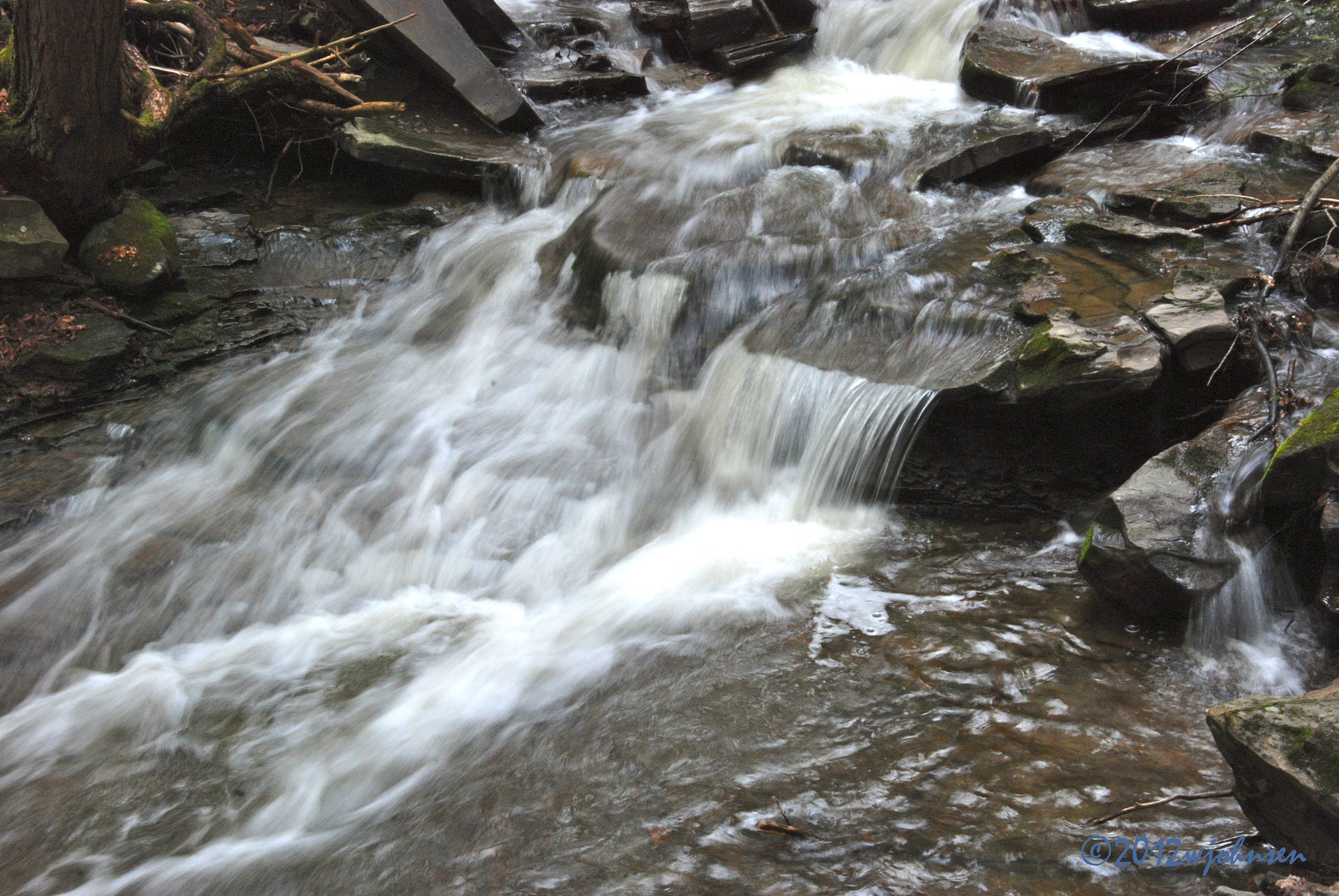
Water Falls near Elmer Jackson Road
DJ's First Trip to the Farm 146
DJ's First Trip to the Farm 147
Candian Geese Looking for Forward

spruce, ii
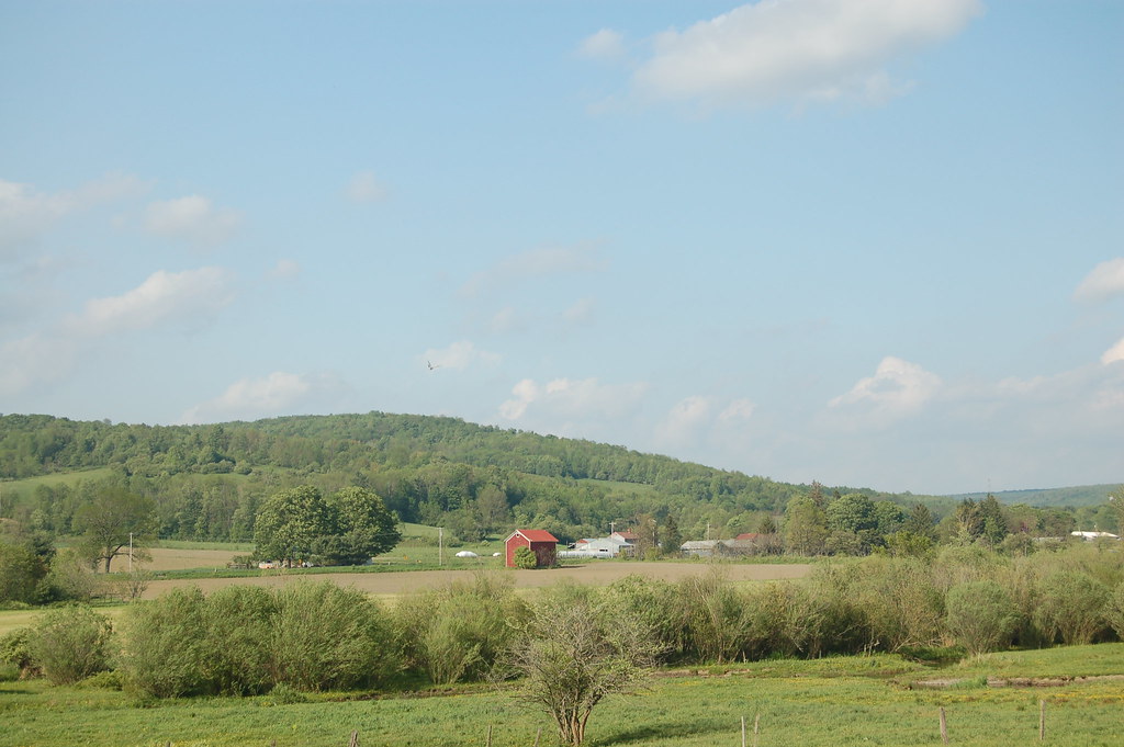
DJ's First Trip to the Farm 148
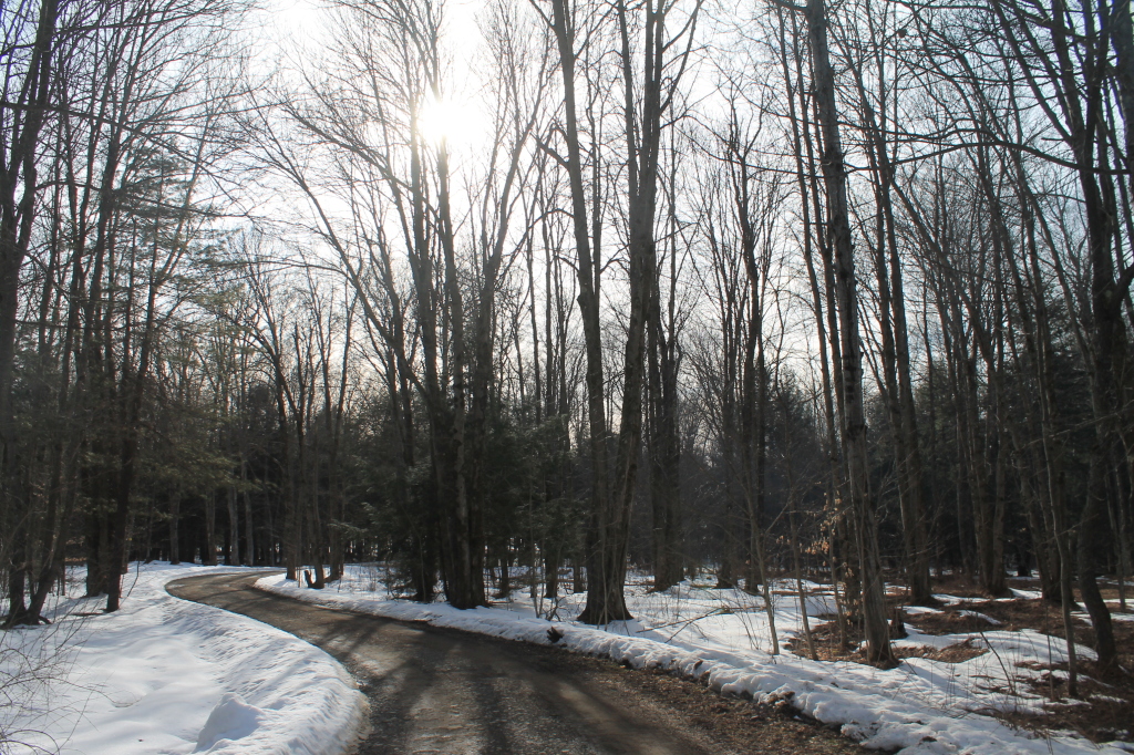
Bend in the Road
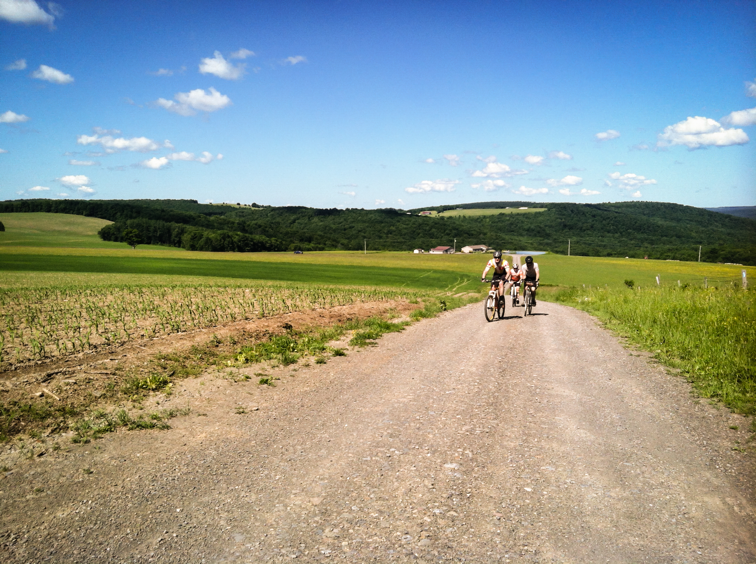
DJ's First Trip to the Farm 145
spruce, i
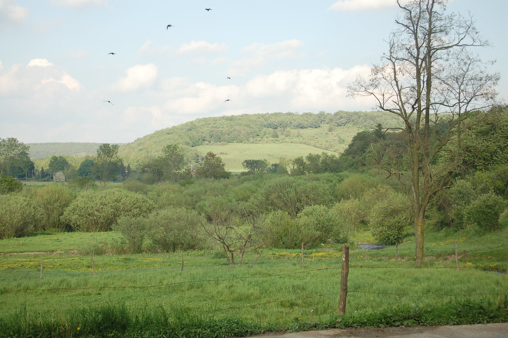
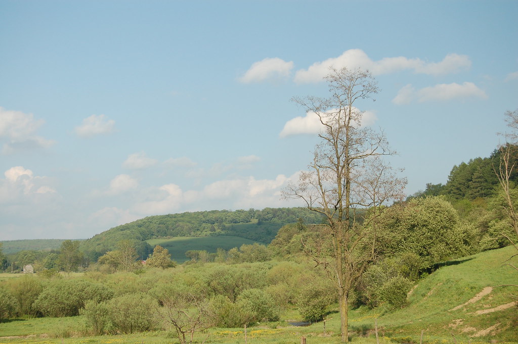
up into Cuyler
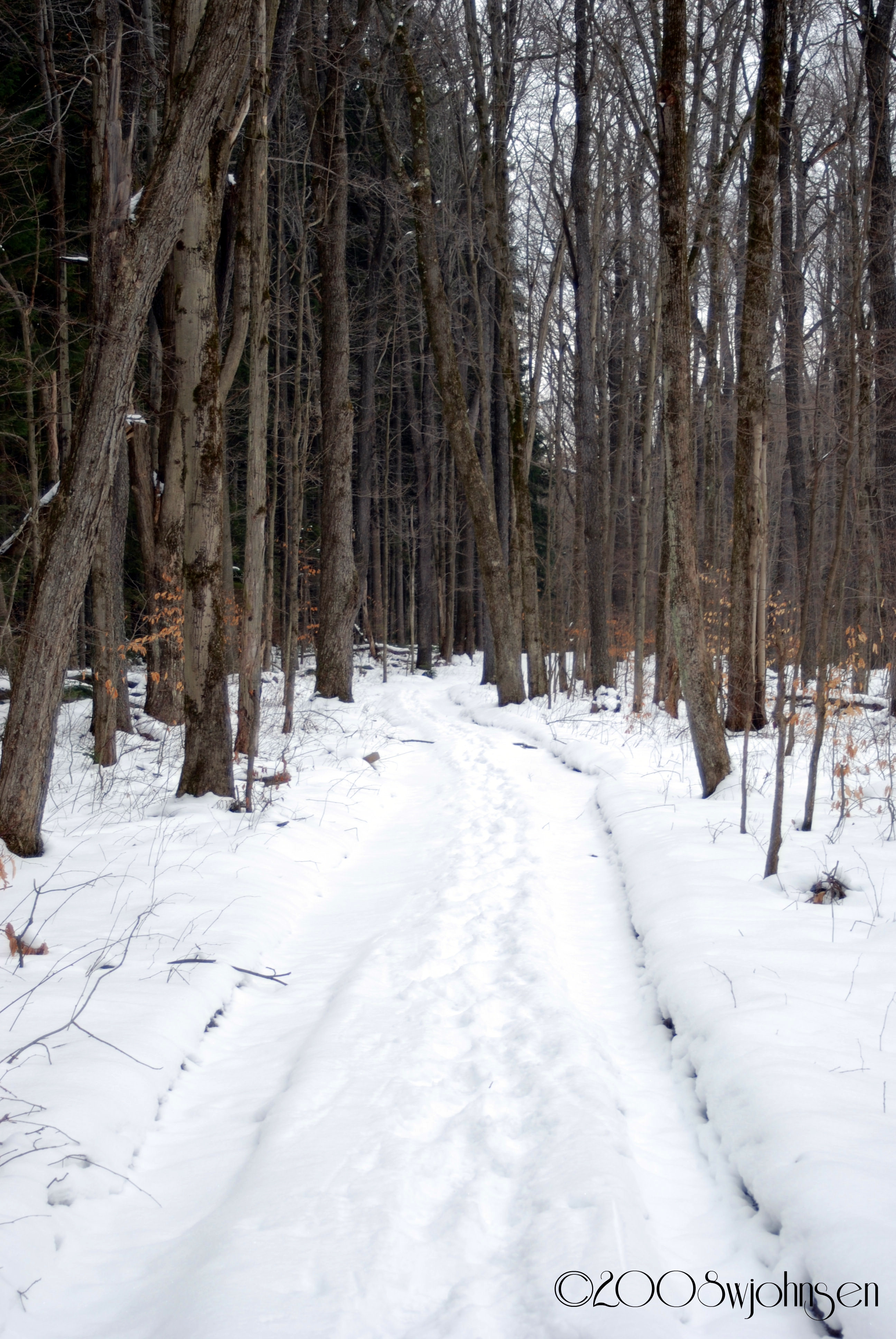
Dalton Road Hike 2008
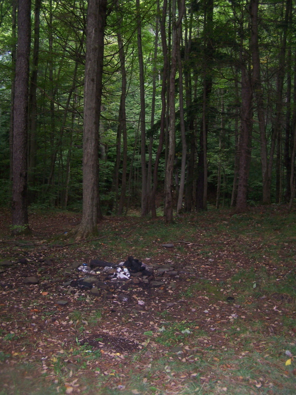
Campsite Along Creek
DJ's First Trip to the Farm 144
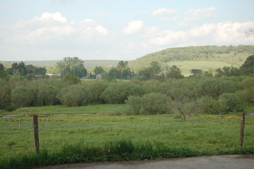
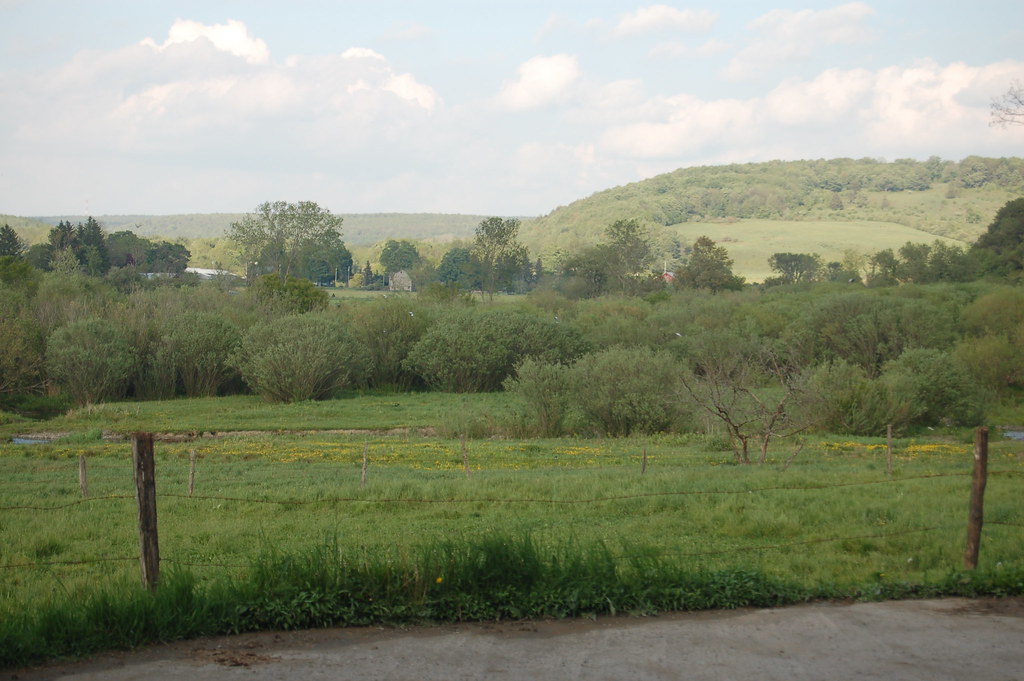
What April Looks Like at Balsam Swamp

Icy Sunset
Topographic Map of Co RD 13 Rd, Deruyter, NY, USA
Find elevation by address:

Places near Co RD 13 Rd, Deruyter, NY, USA:
Lincklaen
Old State Rd 26, South Otselic, NY, USA
327 Stage Rd
Otselic
8 Grand St, Pitcher, NY, USA
2044 County Rd 12
Pharsalia
Pitcher
Fur Farm Rd, Plymouth, NY, USA
Hydeville Rd, Deruyter, NY, USA
Pitcher
Cuyler Hill Rd, Truxton, NY, USA
Cuyler
122 Benedict Hill Rd
214 N Rd
Cheningo Solon Pond Rd, Cincinnatus, NY, USA
Cheningo Solon Pond Rd, Cincinnatus, NY, USA
2860 Cincinnatus Rd
5763 Telephone Rd
Cincinnatus
Recent Searches:
- Elevation of Corso Fratelli Cairoli, 35, Macerata MC, Italy
- Elevation of Tallevast Rd, Sarasota, FL, USA
- Elevation of 4th St E, Sonoma, CA, USA
- Elevation of Black Hollow Rd, Pennsdale, PA, USA
- Elevation of Oakland Ave, Williamsport, PA, USA
- Elevation of Pedrógão Grande, Portugal
- Elevation of Klee Dr, Martinsburg, WV, USA
- Elevation of Via Roma, Pieranica CR, Italy
- Elevation of Tavkvetili Mountain, Georgia
- Elevation of Hartfords Bluff Cir, Mt Pleasant, SC, USA