Elevation of Wildbriar Dr, Jasper, TX, USA
Location: United States > Texas > Jasper County > Jasper >
Longitude: -94.158786
Latitude: 31.0849079
Elevation: 64m / 210feet
Barometric Pressure: 101KPa
Elevation Map:
Satellite Map:
Related Photos:

Day 342: Out of focus point of view
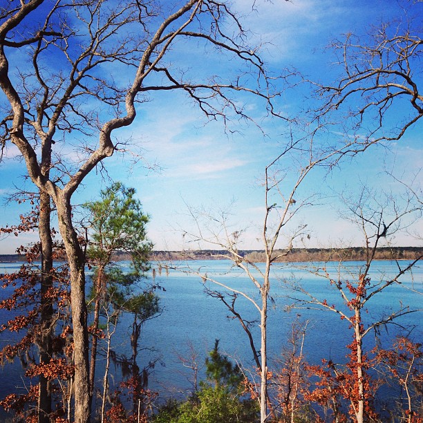
Not a bad view early in the morn! #Lake

Day 105: Sun in the rear view
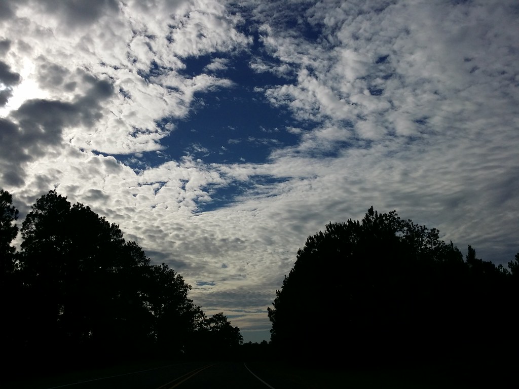
Day 296: Sky Blanket
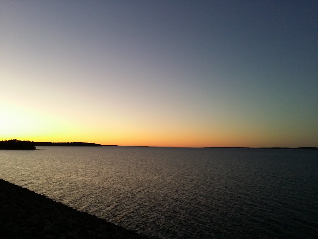
Day 331: Thanksgiving sunset on Lake Rayburn

Celithemis amanda, Amanda’s Pennant
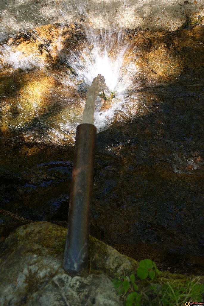
Boykin Springs 2.2

Bachman's Sparrow

Bachman's Sparrow
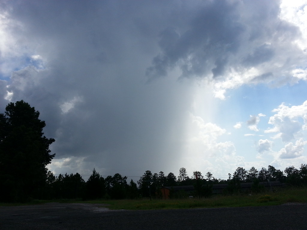
Day 248: Rain cloud
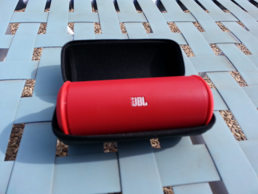
Day 244: Bluetooth JBL Speaker
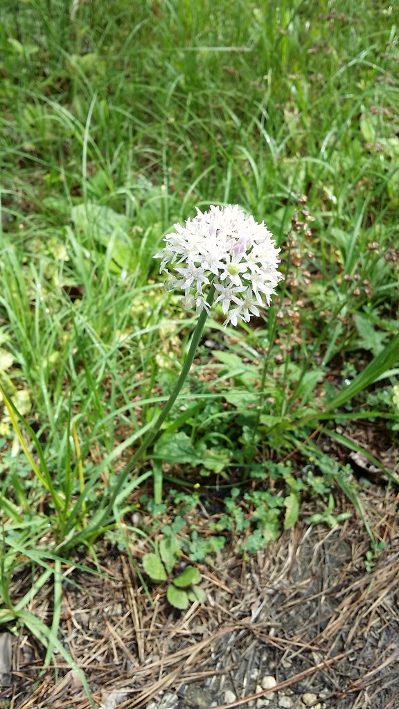
Day 123: flower
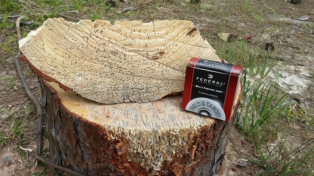
Day 100: Shotgun time!
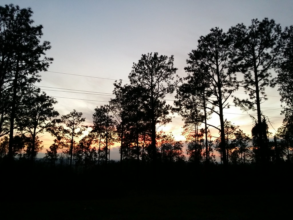
Day 73: west sky
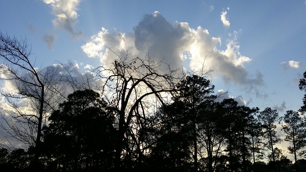
Day 364: Evening Sky

Day 363: Sleeping
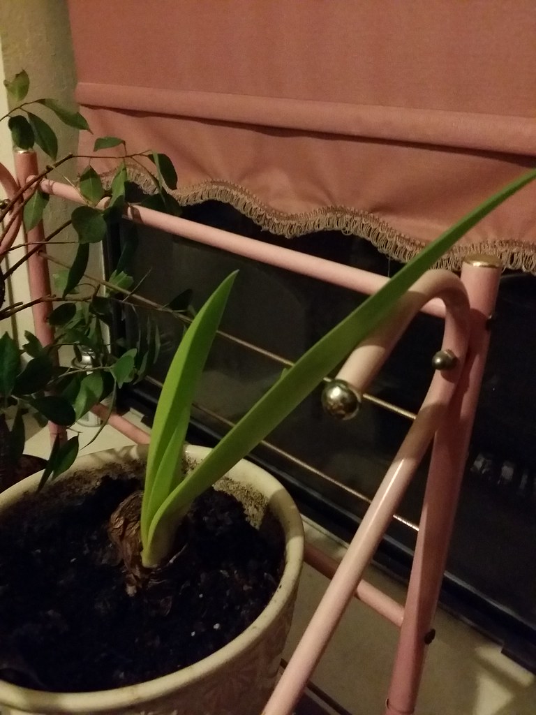
Day 362: More growth!

Day 359: Sleeping Catsby

Day 357: Long Hair!
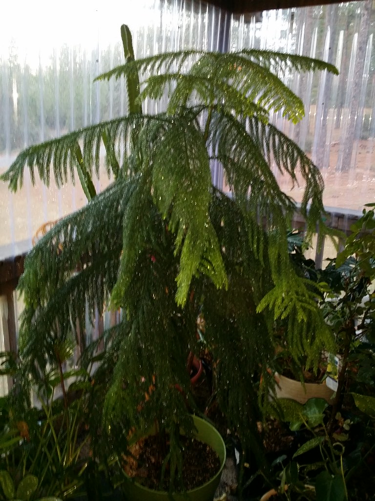
Day 349: wet Norfolk Pine
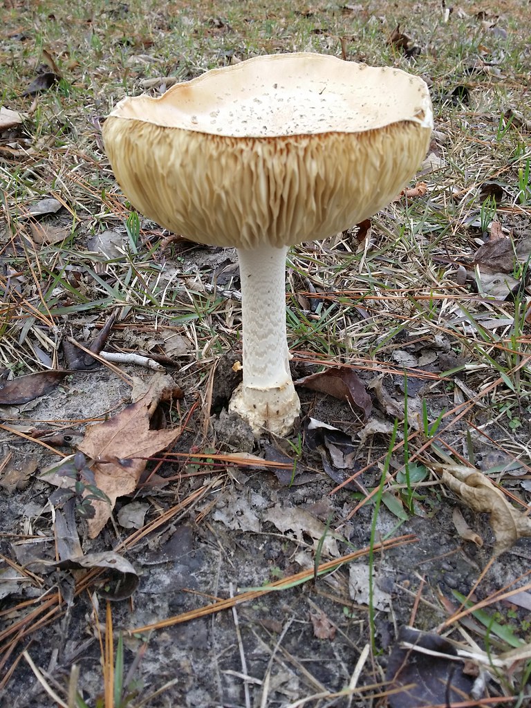
Day 345: Mushroom!

Day 338: Kitty in a Bill Box

Day 337: Last weekend for Gingerbread Trail

Day 333: Lewis Black on tv

Day 330: Late blooming rose
Topographic Map of Wildbriar Dr, Jasper, TX, USA
Find elevation by address:

Places near Wildbriar Dr, Jasper, TX, USA:
Co Rd 62, Jasper, TX, USA
Parker Point Rd, Zavalla, TX, USA
7696 Hwy 255
County Road 32
Beans
FM, Brookeland, TX, USA
191 Sweet Gum Dr
County Road 227
Brookeland
11370 Us-96
FM 83, Broaddus, TX, USA
6139 Us-96
Magasco Rd, Pineland, TX, USA
Bronson
TX-, San Augustine, TX, USA
San Augustine County
Sabine County
Hemphill
FM 1, San Augustine, TX, USA
State Hwy 87, Hemphill, TX, USA
Recent Searches:
- Elevation of Corso Fratelli Cairoli, 35, Macerata MC, Italy
- Elevation of Tallevast Rd, Sarasota, FL, USA
- Elevation of 4th St E, Sonoma, CA, USA
- Elevation of Black Hollow Rd, Pennsdale, PA, USA
- Elevation of Oakland Ave, Williamsport, PA, USA
- Elevation of Pedrógão Grande, Portugal
- Elevation of Klee Dr, Martinsburg, WV, USA
- Elevation of Via Roma, Pieranica CR, Italy
- Elevation of Tavkvetili Mountain, Georgia
- Elevation of Hartfords Bluff Cir, Mt Pleasant, SC, USA