Elevation map of Jasper County, TX, USA
Location: United States > Texas >
Longitude: -93.987842
Latitude: 30.9263644
Elevation: 67m / 220feet
Barometric Pressure: 101KPa
Elevation Map:
Satellite Map:
Related Photos:

Day 342: Out of focus point of view
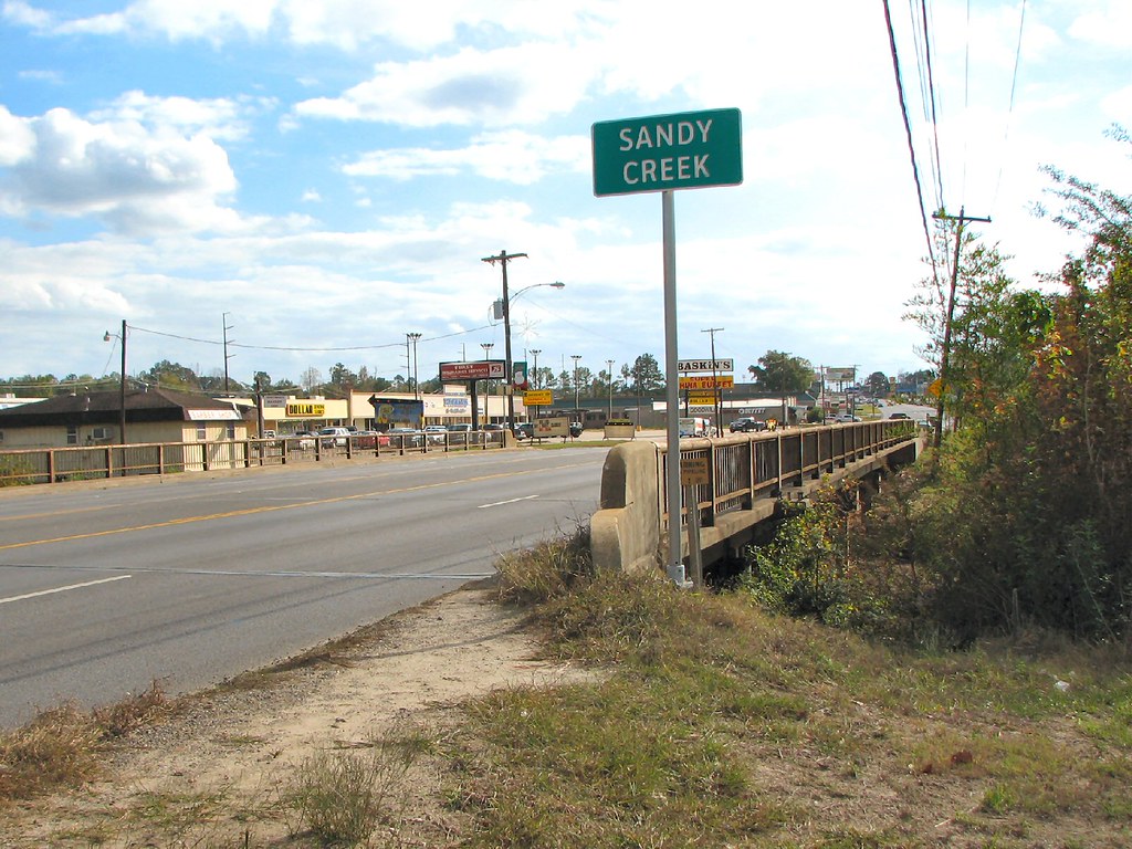
Sandy Creek-Oblique View

Day 51: Morning

Day 143: Evening sky

Day 259: Rain falling

Day 15: Lonely Highway
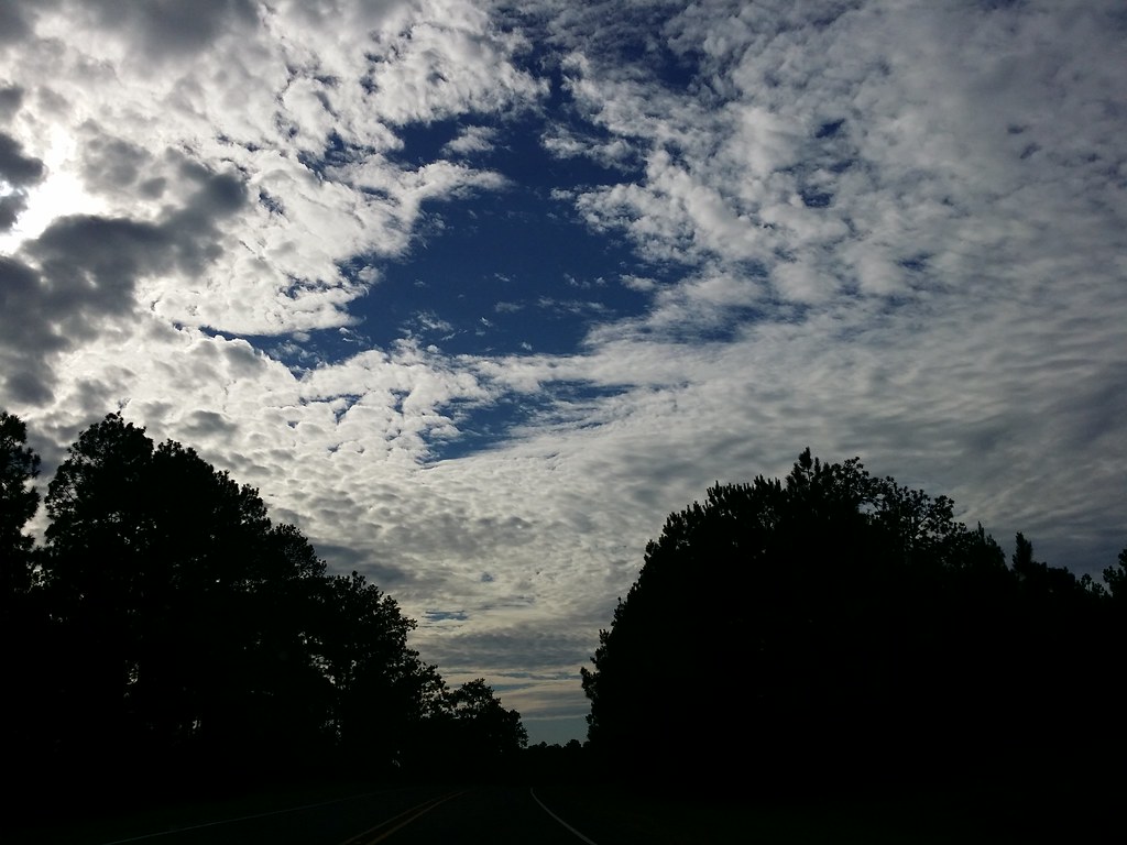
Day 296: Sky Blanket

Day 299: Parking lot sunset

Day 311: Last light
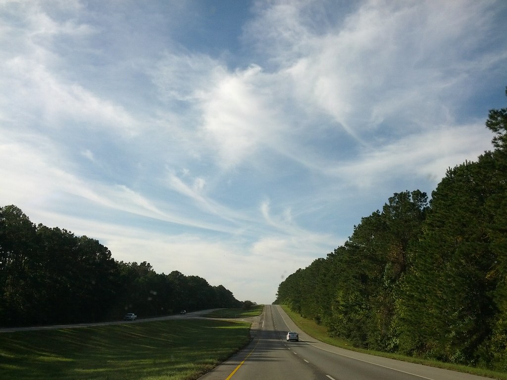
Day 289: Morning drive

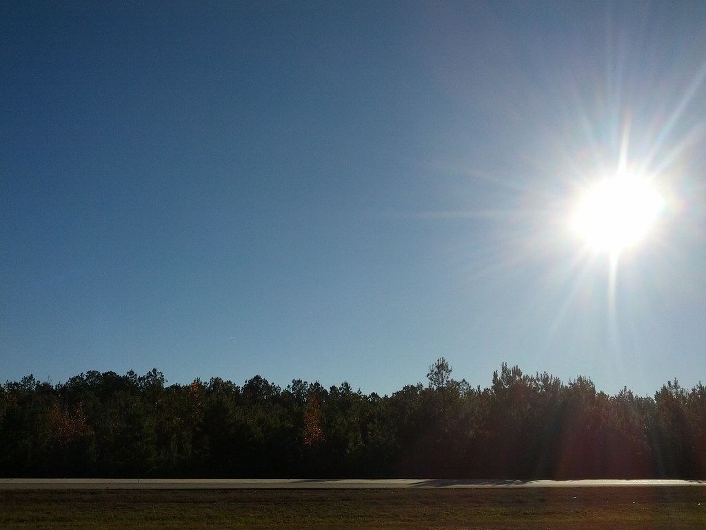
Day 281: October sunset
Day 329: After the Cold front

Day 2222: Big Mushroom in the grass

Day 270: Pod people
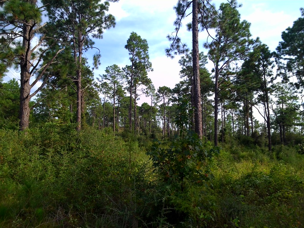
Sky and Trees

Touch Me Nots!

Day 73: Renewal
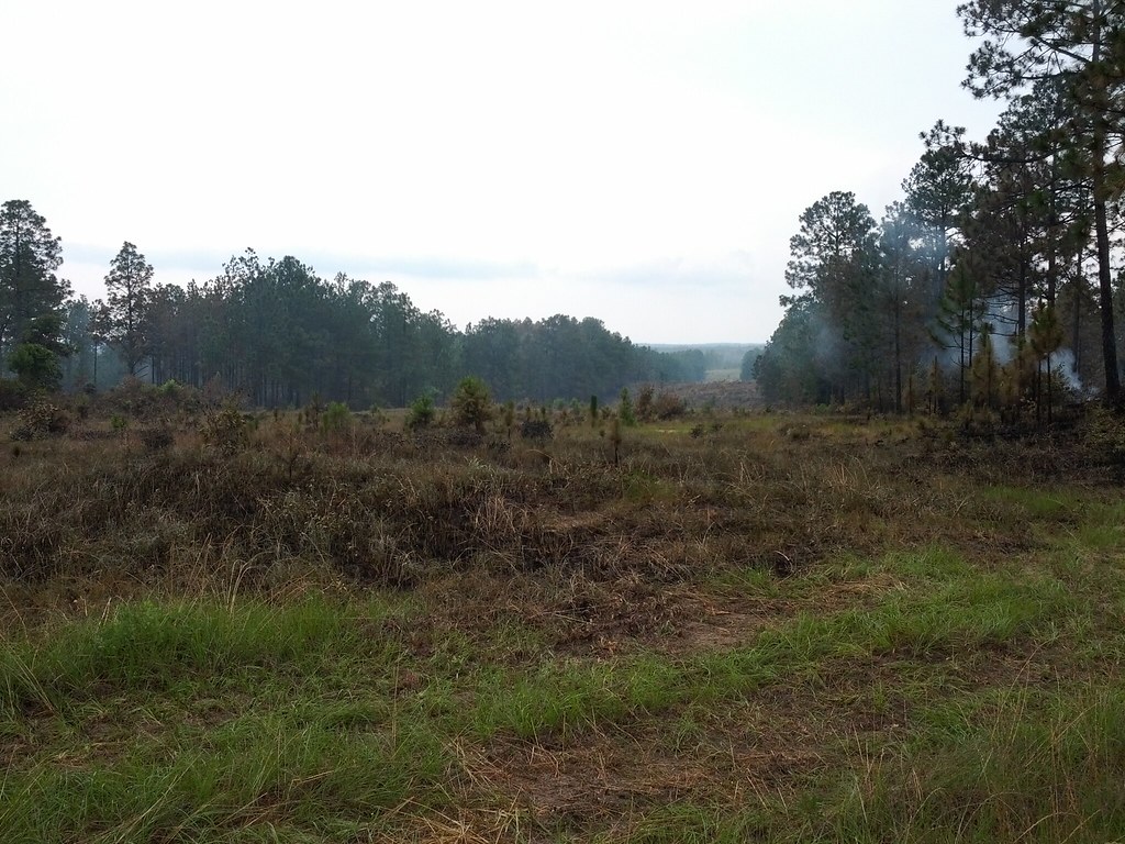
Day 137: Controlled Burning
Topographic Map of Jasper County, TX, USA
Find elevation by address:

Places in Jasper County, TX, USA:
Places near Jasper County, TX, USA:
Jasper
3017 Tx-63
Hunterwood Drive
864 Hunterwood Dr
3476 Fm252
3963 Fm252
US-96, Jasper, TX, USA
Huff Creek Rd, Jasper, TX, USA
US-, Jasper, TX, USA
7678 U.s. Hwy 190
County Road 138
6073 Us Hwy 190 W
FM, Jasper, TX, USA
FM, Wiergate, TX, USA
FM, Kirbyville, TX, USA
383 Co Rd 479
383 Co Rd 479
383 Co Rd 479
383 Co Rd 479
383 Co Rd 479
Recent Searches:
- Elevation of Corso Fratelli Cairoli, 35, Macerata MC, Italy
- Elevation of Tallevast Rd, Sarasota, FL, USA
- Elevation of 4th St E, Sonoma, CA, USA
- Elevation of Black Hollow Rd, Pennsdale, PA, USA
- Elevation of Oakland Ave, Williamsport, PA, USA
- Elevation of Pedrógão Grande, Portugal
- Elevation of Klee Dr, Martinsburg, WV, USA
- Elevation of Via Roma, Pieranica CR, Italy
- Elevation of Tavkvetili Mountain, Georgia
- Elevation of Hartfords Bluff Cir, Mt Pleasant, SC, USA