Elevation of U.S. Hwy, Jasper, TX, USA
Location: United States > Texas > Jasper County > Jasper >
Longitude: -93.880629
Latitude: 30.8964237
Elevation: 75m / 246feet
Barometric Pressure: 100KPa
Elevation Map:
Satellite Map:
Related Photos:

Waving Proudly at the 1st Baptist Church

Day 125: side view

Sandy Creek-Oblique View

Newton County Courthouse

Day 271: fall sky
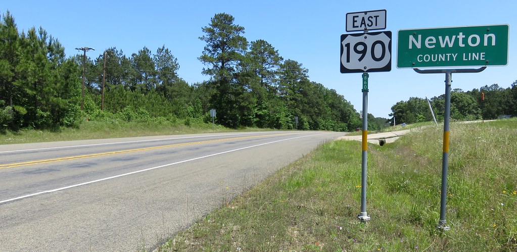
Entering Newton County (Newton County, Texas)

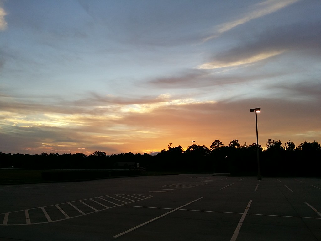
Day 299: Parking lot sunset

Entering Jasper County (Jasper County, Texas)

Day 143: Evening sky

Day 311: Last light
Day 281: October sunset

Day 2222: Big Mushroom in the grass
Topographic Map of U.S. Hwy, Jasper, TX, USA
Find elevation by address:

Places near U.S. Hwy, Jasper, TX, USA:
US-, Jasper, TX, USA
Huff Creek Rd, Jasper, TX, USA
FM, Wiergate, TX, USA
3017 Tx-63
FM, Jasper, TX, USA
US-96, Jasper, TX, USA
Jasper County
Jasper
Newton
Hunterwood Drive
864 Hunterwood Dr
3476 Fm252
3963 Fm252
481 County Rd 1028
421 County Rd 1028
421 County Rd 1028
421 County Rd 1028
421 County Rd 1028
421 County Rd 1028
Suzy Ln, Newton, TX, USA
Recent Searches:
- Elevation of Corso Fratelli Cairoli, 35, Macerata MC, Italy
- Elevation of Tallevast Rd, Sarasota, FL, USA
- Elevation of 4th St E, Sonoma, CA, USA
- Elevation of Black Hollow Rd, Pennsdale, PA, USA
- Elevation of Oakland Ave, Williamsport, PA, USA
- Elevation of Pedrógão Grande, Portugal
- Elevation of Klee Dr, Martinsburg, WV, USA
- Elevation of Via Roma, Pieranica CR, Italy
- Elevation of Tavkvetili Mountain, Georgia
- Elevation of Hartfords Bluff Cir, Mt Pleasant, SC, USA