Elevation of Magasco Rd, Pineland, TX, USA
Location: United States > Texas >
Longitude: -93.975514
Latitude: 31.278304
Elevation: 93m / 305feet
Barometric Pressure: 100KPa
Elevation Map:
Satellite Map:
Related Photos:
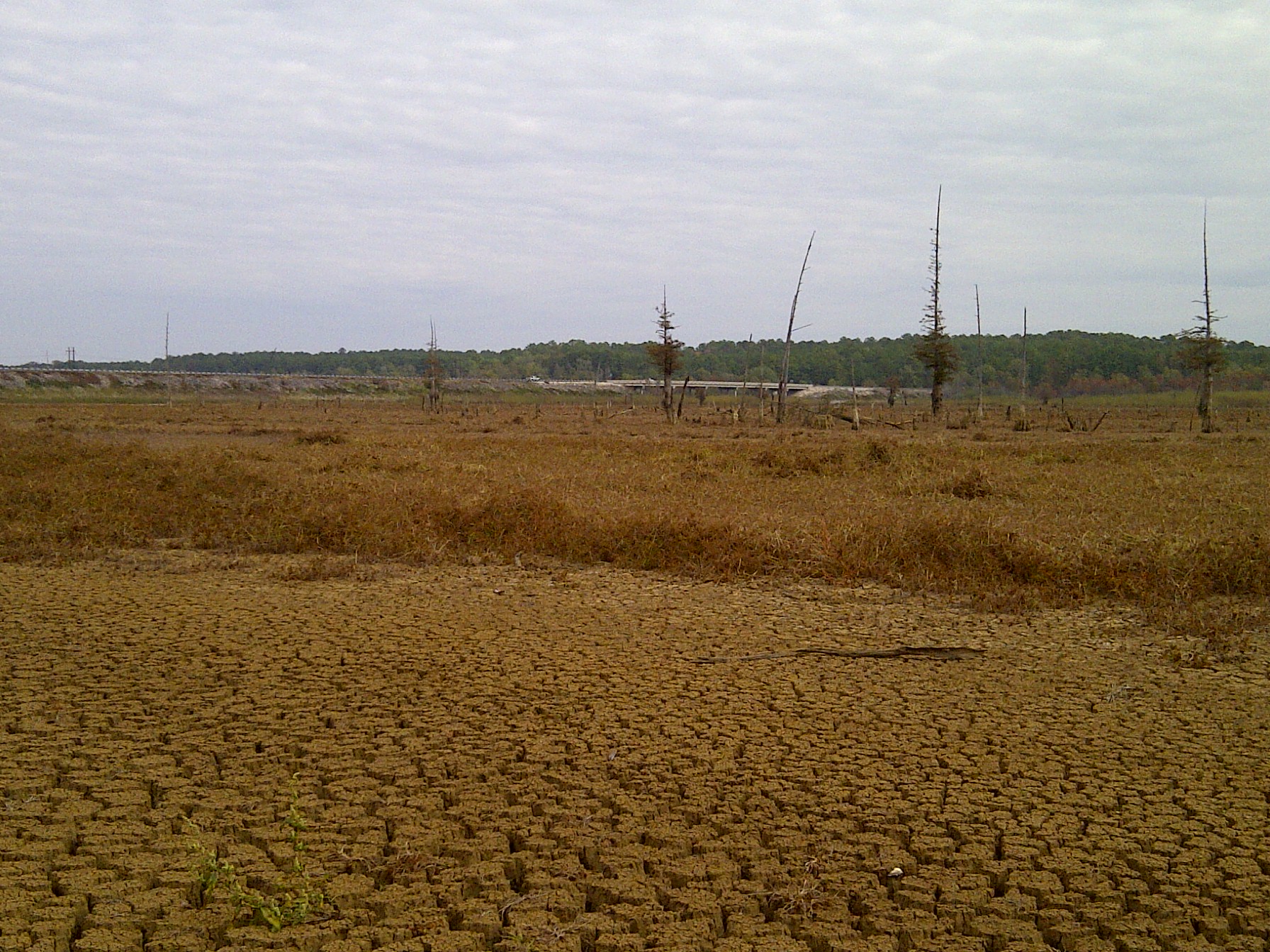
IMG-20111106-00240
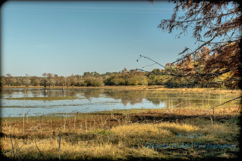
Ayish Bayou at Lake Sam Rayburn
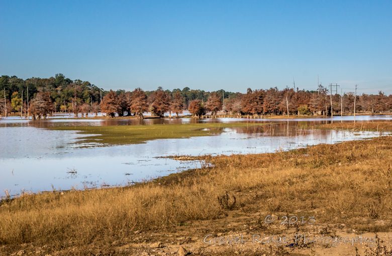
Bald Cypress color change At Ayish Bayou

Deedee Donuts, US-96, Pineland, TX 75968

NASA museum to the memory of Columbia
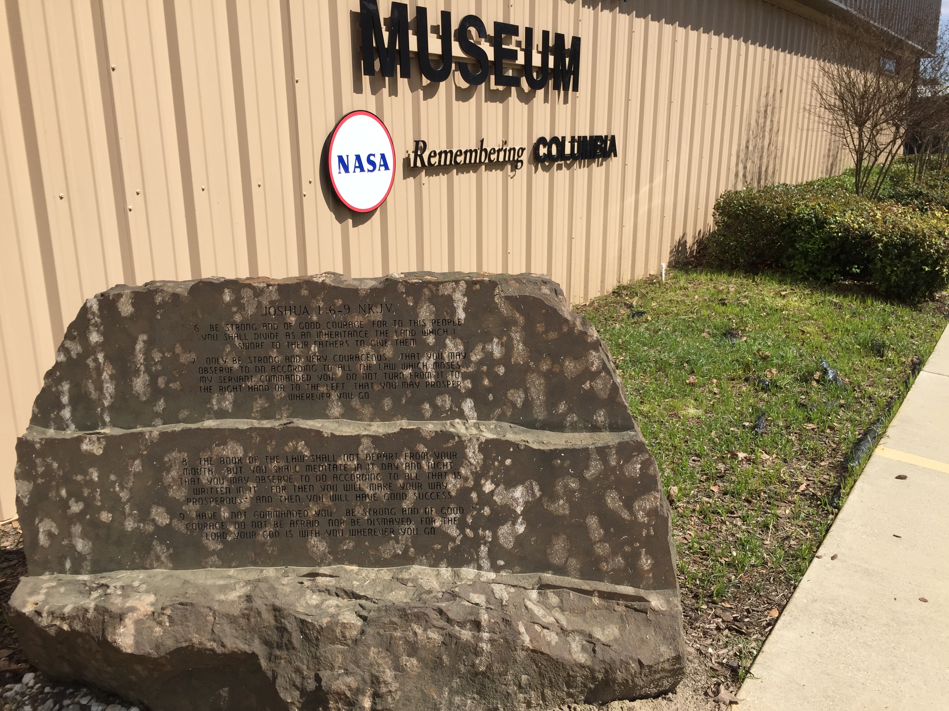
Joshua 1.5-9

Ilan Ramon's memorial
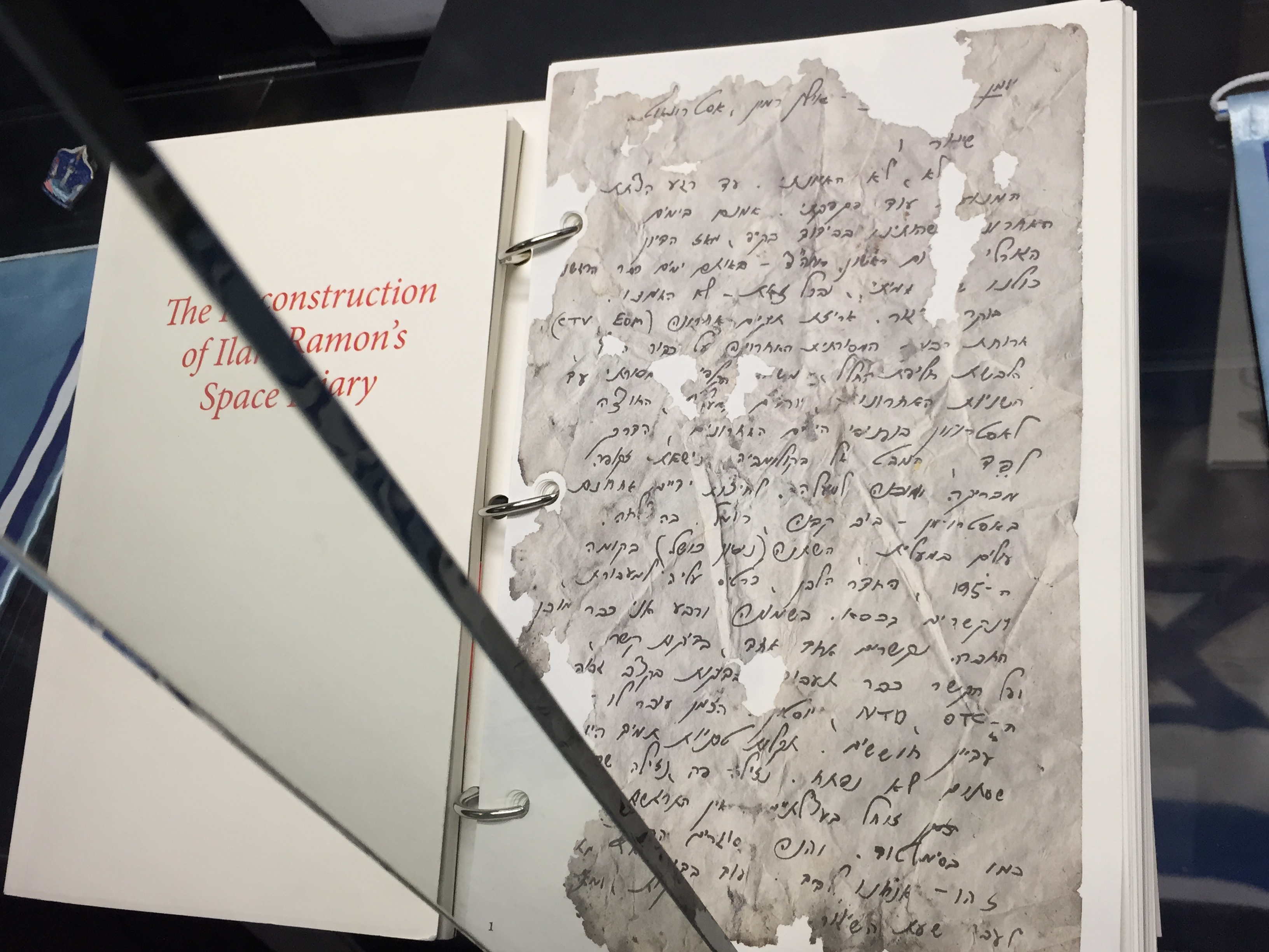
Diary of Ilan Ramon

Sabine - Hemphill

Sabine County Courthouse

Old Sabine Co. Jail

Old Sabine Co. Jail
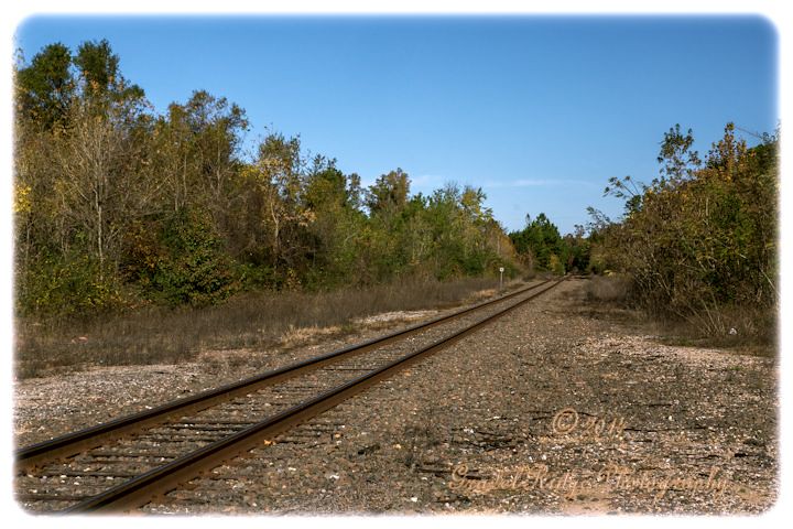
Tracks of the Iron Horse

Sabine County Courthouse_Hemphill, Texas

Court House Hemphill Texas
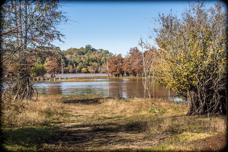
Looking across the Ayish Bayou

Camera Roll-368

Camera Roll-367

Camera Roll-366

Camera Roll-365

Camera Roll-364

Camera Roll-362
Topographic Map of Magasco Rd, Pineland, TX, USA
Find elevation by address:

Places near Magasco Rd, Pineland, TX, USA:
Bronson
Brookeland
11370 Us-96
Hemphill
FM 83, Broaddus, TX, USA
Sabine County
191 Sweet Gum Dr
FM 1, San Augustine, TX, USA
Milam
FM, San Augustine, TX, USA
280 Geneva Sexton Rd
County Road 227
FM, Brookeland, TX, USA
TX-, San Augustine, TX, USA
7696 Hwy 255
State Hwy 87, Hemphill, TX, USA
San Augustine County
Wildbriar Dr, Jasper, TX, USA
6139 Us-96
San Augustine
Recent Searches:
- Elevation of Corso Fratelli Cairoli, 35, Macerata MC, Italy
- Elevation of Tallevast Rd, Sarasota, FL, USA
- Elevation of 4th St E, Sonoma, CA, USA
- Elevation of Black Hollow Rd, Pennsdale, PA, USA
- Elevation of Oakland Ave, Williamsport, PA, USA
- Elevation of Pedrógão Grande, Portugal
- Elevation of Klee Dr, Martinsburg, WV, USA
- Elevation of Via Roma, Pieranica CR, Italy
- Elevation of Tavkvetili Mountain, Georgia
- Elevation of Hartfords Bluff Cir, Mt Pleasant, SC, USA