Elevation of San Augustine County, TX, USA
Location: United States > Texas >
Longitude: -94.151376
Latitude: 31.4699363
Elevation: 98m / 322feet
Barometric Pressure: 100KPa
Elevation Map:
Satellite Map:
Related Photos:
IMG_6900

Attoyac River

Sunset in the Piney Woods of East Texas

Giving thanks for the love and many faces of my grandmother's dog, Molly. #family #thanksgiving #funny #faces #chihuahua #chihuahuasofinstagram #puppylove #instagood #instagram
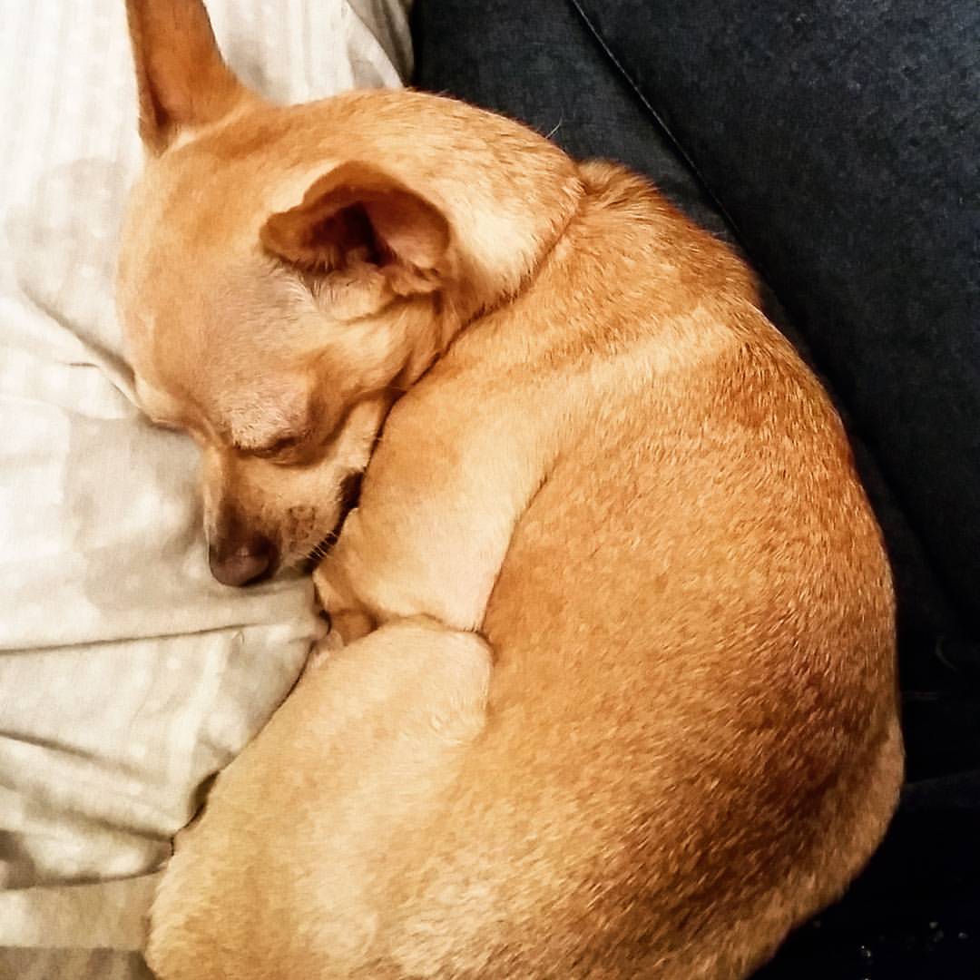
I'm not the only one in a food coma. #thanksgiving #foodcoma #Chihuahua #sleepy
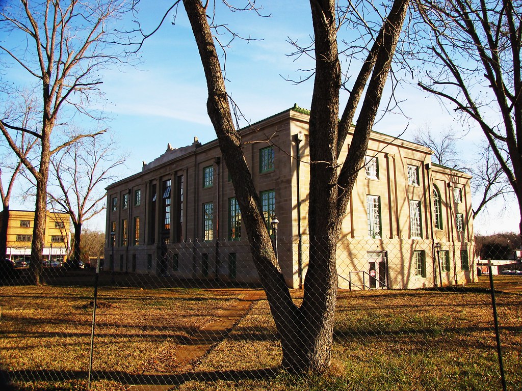
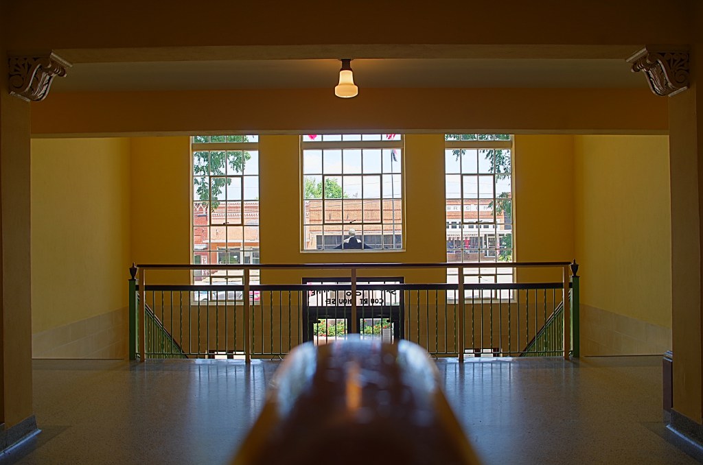
N.L. Tindall Building, San Augustine County, TX

20150503-132406-2
San Augustine - San Augustine

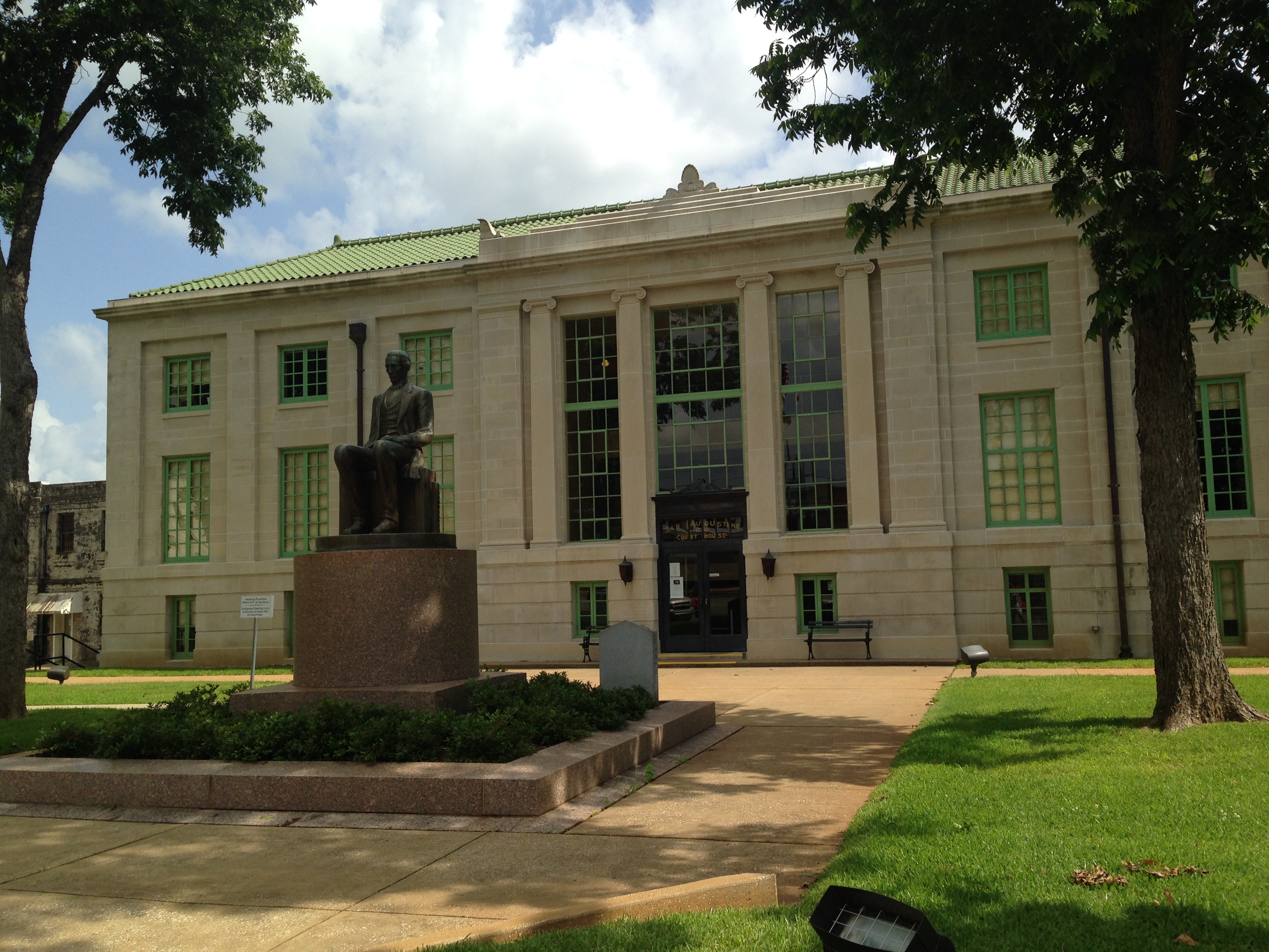
San Augustine Co. Courthouse
San Augustine Courthouse

Imogene's Cafe

San Augustine, Texas

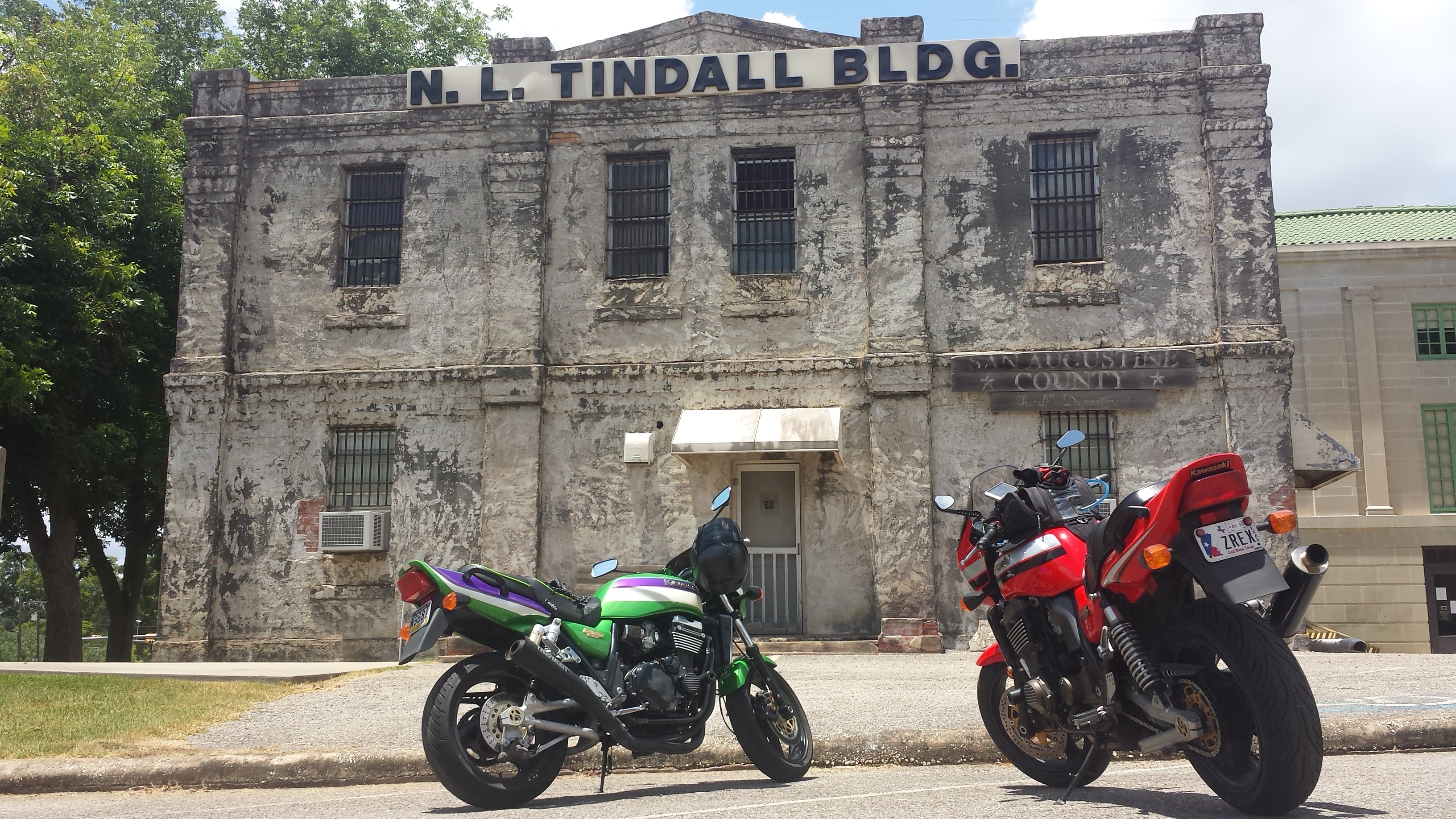
Old San Augustine Jail

San Augustine Co. Courthouse
Topographic Map of San Augustine County, TX, USA
Find elevation by address:

Places in San Augustine County, TX, USA:
Places near San Augustine County, TX, USA:
TX-, San Augustine, TX, USA
1068 Tx-21
San Augustine
Patroon St, San Augustine, TX, USA
FM 1, San Augustine, TX, USA
FM, San Augustine, TX, USA
Bronson
FM 83, Broaddus, TX, USA
TX-, Center, TX, USA
FM, San Augustine, TX, USA
280 Geneva Sexton Rd
Magasco Rd, Pineland, TX, USA
1977 Co Rd 1024
Shelbyville
Milam
Center
302 Cora St
Hemphill
Brookeland
Shelby County
Recent Searches:
- Elevation of Corso Fratelli Cairoli, 35, Macerata MC, Italy
- Elevation of Tallevast Rd, Sarasota, FL, USA
- Elevation of 4th St E, Sonoma, CA, USA
- Elevation of Black Hollow Rd, Pennsdale, PA, USA
- Elevation of Oakland Ave, Williamsport, PA, USA
- Elevation of Pedrógão Grande, Portugal
- Elevation of Klee Dr, Martinsburg, WV, USA
- Elevation of Via Roma, Pieranica CR, Italy
- Elevation of Tavkvetili Mountain, Georgia
- Elevation of Hartfords Bluff Cir, Mt Pleasant, SC, USA