Elevation of County Road, Co Rd, Brookeland, TX, USA
Location: United States > Texas > Brookeland >
Longitude: -93.988866
Latitude: 31.0677162
Elevation: 107m / 351feet
Barometric Pressure: 100KPa
Elevation Map:
Satellite Map:
Related Photos:

Day 342: Out of focus point of view
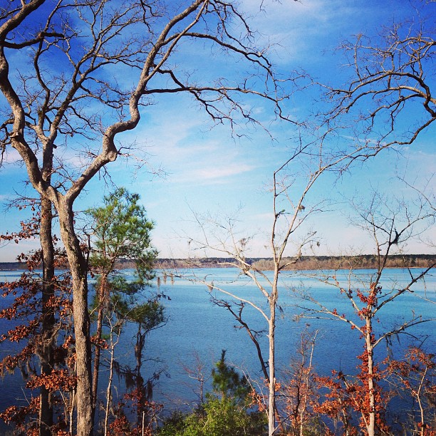
Not a bad view early in the morn! #Lake

Day 105: Sun in the rear view
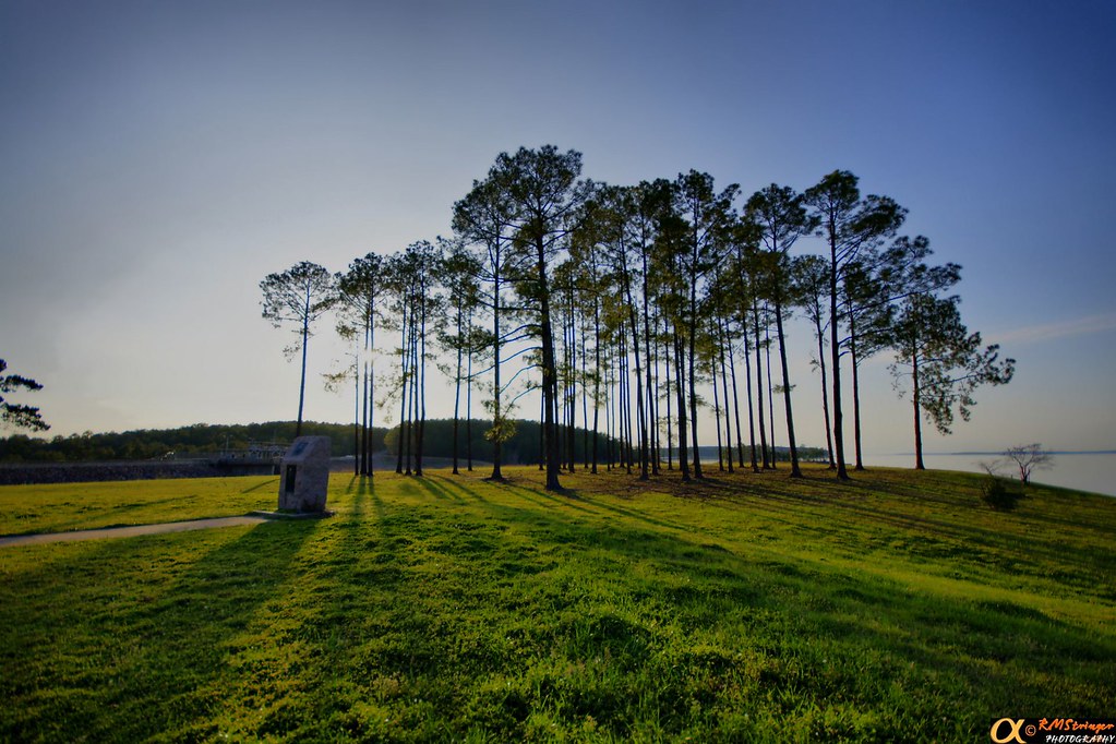
Lake Sam Rayburn HDR 1.2

Lake Sam Rayburn HDR 1.1
HDR 1.3

Lake Sam Rayburn HDR 1.0

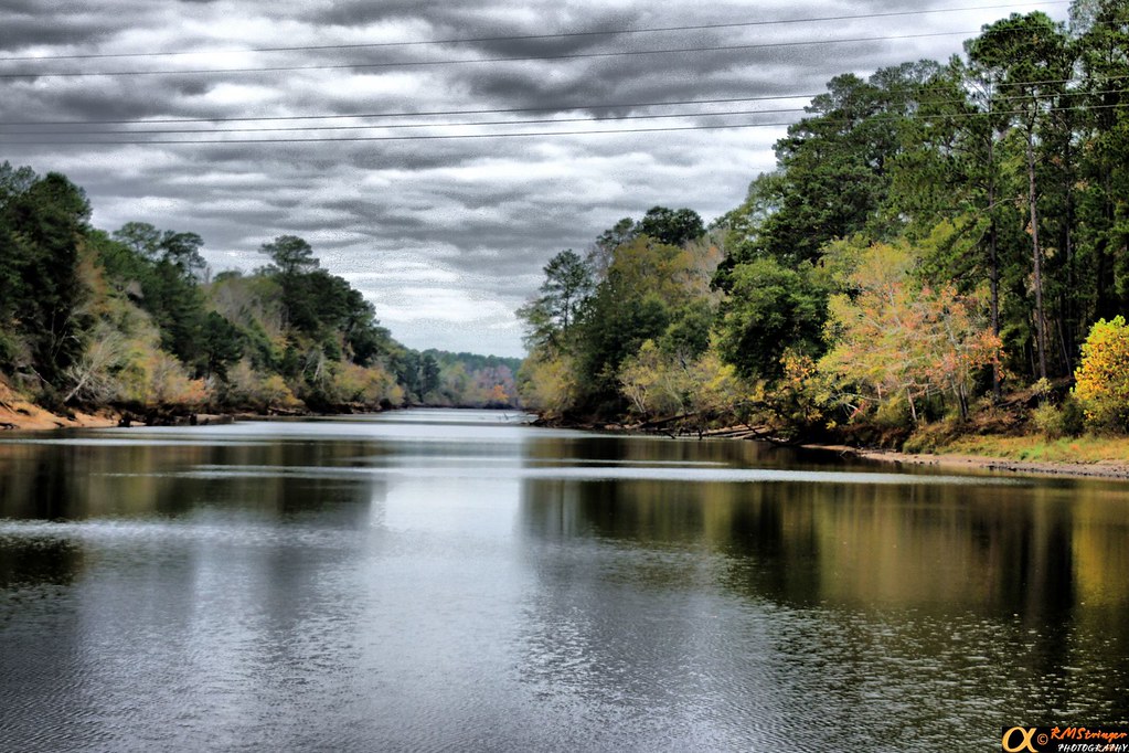
Day 296: Sky Blanket

Day 331: Thanksgiving sunset on Lake Rayburn
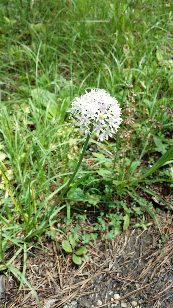
Day 123: flower
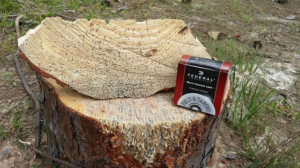
Day 100: Shotgun time!

Day 78: Evening meal

Day 73: west sky

Day 17: broken glass

Day 16: winter rose(s)

Day 16: winter rose(s)
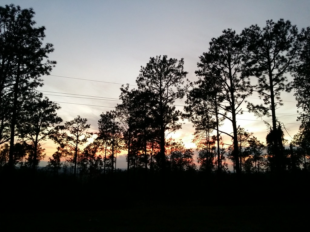
Day 364: Evening Sky

Day 363: Sleeping

Day 362: More growth!

Day 359: Sleeping Catsby

Day 357: Long Hair!

Day 349: wet Norfolk Pine
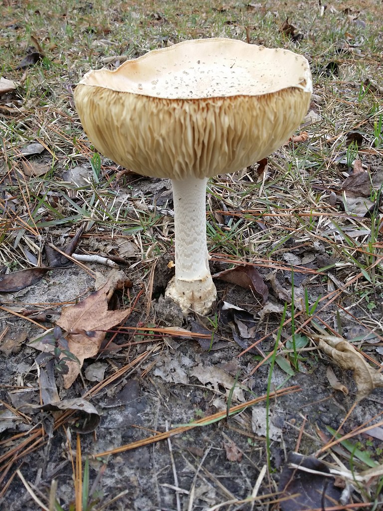
Day 345: Mushroom!

Day 338: Kitty in a Bill Box

Day 337: Last weekend for Gingerbread Trail

Day 336: Christmas party

Day 333: Lewis Black on tv
Topographic Map of County Road, Co Rd, Brookeland, TX, USA
Find elevation by address:

Places near County Road, Co Rd, Brookeland, TX, USA:
191 Sweet Gum Dr
FM, Brookeland, TX, USA
6139 Us-96
11370 Us-96
Brookeland
7696 Hwy 255
Co Rd 62, Jasper, TX, USA
Wildbriar Dr, Jasper, TX, USA
County Road 32
Beans
Magasco Rd, Pineland, TX, USA
Parker Point Rd, Zavalla, TX, USA
FM 83, Broaddus, TX, USA
Bronson
Sabine County
County Road 1028
State Hwy 87, Hemphill, TX, USA
Wiergate
Hemphill
Burkeville
Recent Searches:
- Elevation of Corso Fratelli Cairoli, 35, Macerata MC, Italy
- Elevation of Tallevast Rd, Sarasota, FL, USA
- Elevation of 4th St E, Sonoma, CA, USA
- Elevation of Black Hollow Rd, Pennsdale, PA, USA
- Elevation of Oakland Ave, Williamsport, PA, USA
- Elevation of Pedrógão Grande, Portugal
- Elevation of Klee Dr, Martinsburg, WV, USA
- Elevation of Via Roma, Pieranica CR, Italy
- Elevation of Tavkvetili Mountain, Georgia
- Elevation of Hartfords Bluff Cir, Mt Pleasant, SC, USA