Elevation of Co Rd 62, Jasper, TX, USA
Location: United States > Texas > Jasper County > Jasper >
Longitude: -94.140479
Latitude: 31.0361762
Elevation: 37m / 121feet
Barometric Pressure: 101KPa
Elevation Map:
Satellite Map:
Related Photos:

Day 342: Out of focus point of view
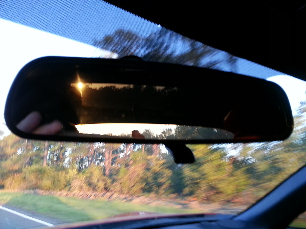
Day 105: Sun in the rear view
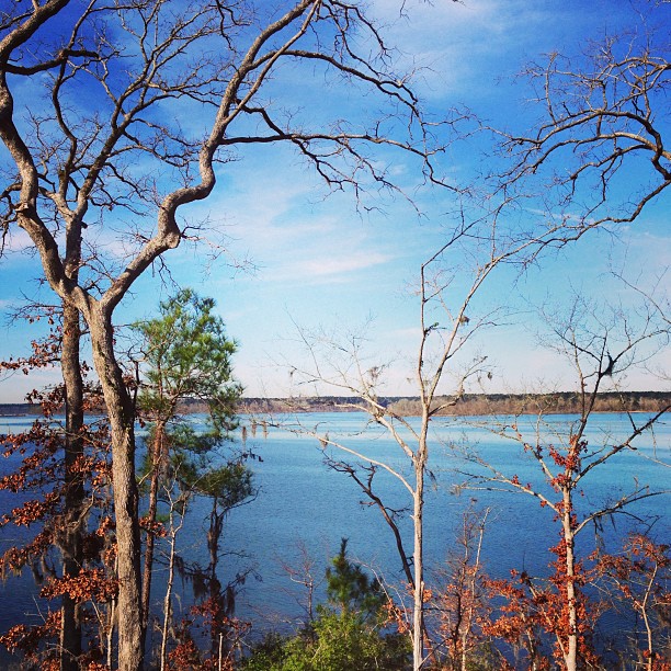
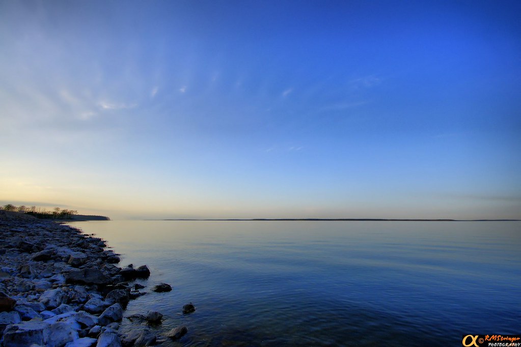
Not a bad view early in the morn! #Lake

Celithemis amanda, Amanda’s Pennant
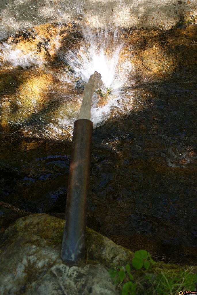
Boykin Springs 2.2
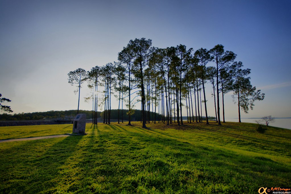
Lake Sam Rayburn HDR 1.2

Lake Sam Rayburn HDR 1.1
HDR 1.3
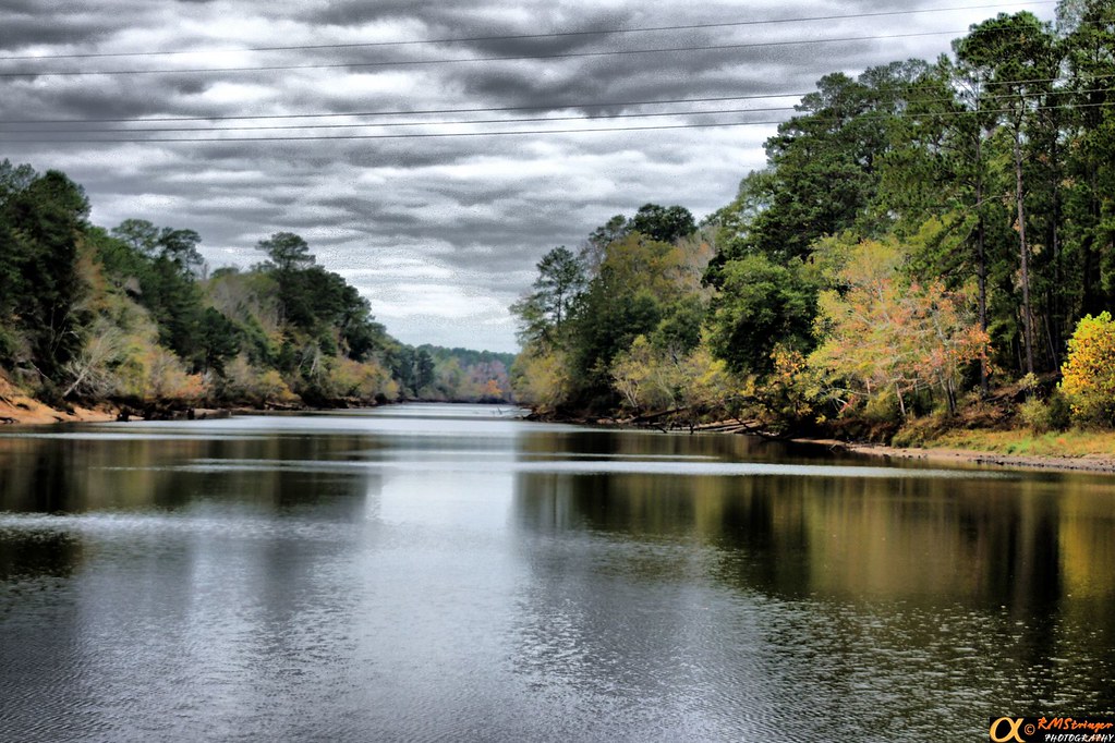
Lake Sam Rayburn HDR 1.0
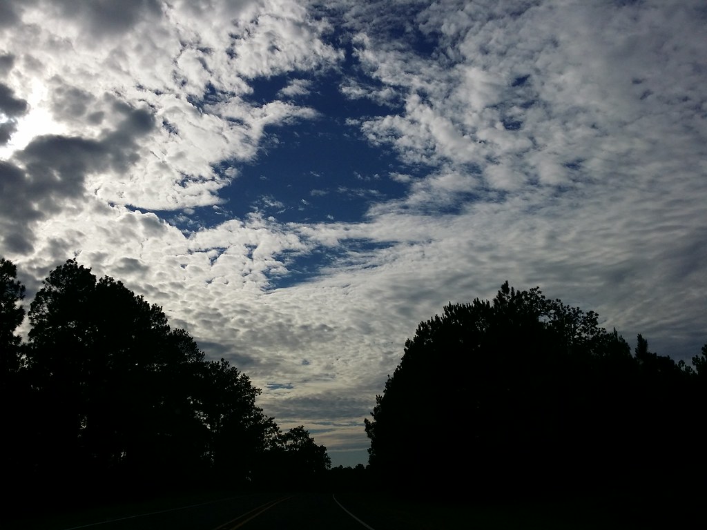
Day 296: Sky Blanket
Topographic Map of Co Rd 62, Jasper, TX, USA
Find elevation by address:

Places near Co Rd 62, Jasper, TX, USA:
County Road 32
7696 Hwy 255
Wildbriar Dr, Jasper, TX, USA
Beans
Parker Point Rd, Zavalla, TX, USA
FM, Brookeland, TX, USA
191 Sweet Gum Dr
County Road 227
6139 Us-96
Brookeland
11370 Us-96
FM 83, Broaddus, TX, USA
Magasco Rd, Pineland, TX, USA
Bronson
TX-, San Augustine, TX, USA
Sabine County
County Road 1028
Hemphill
San Augustine County
Wiergate
Recent Searches:
- Elevation of Corso Fratelli Cairoli, 35, Macerata MC, Italy
- Elevation of Tallevast Rd, Sarasota, FL, USA
- Elevation of 4th St E, Sonoma, CA, USA
- Elevation of Black Hollow Rd, Pennsdale, PA, USA
- Elevation of Oakland Ave, Williamsport, PA, USA
- Elevation of Pedrógão Grande, Portugal
- Elevation of Klee Dr, Martinsburg, WV, USA
- Elevation of Via Roma, Pieranica CR, Italy
- Elevation of Tavkvetili Mountain, Georgia
- Elevation of Hartfords Bluff Cir, Mt Pleasant, SC, USA