Elevation of White Oak Pass, Lost River, WV, USA
Location: United States > West Virginia > Baker >
Longitude: -78.882165
Latitude: 38.9898252
Elevation: 603m / 1978feet
Barometric Pressure: 94KPa
Elevation Map:
Satellite Map:
Related Photos:
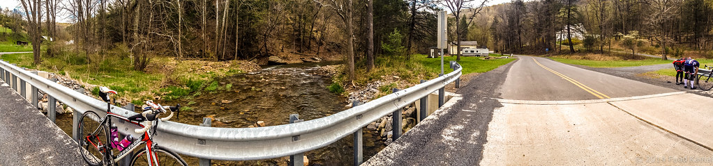
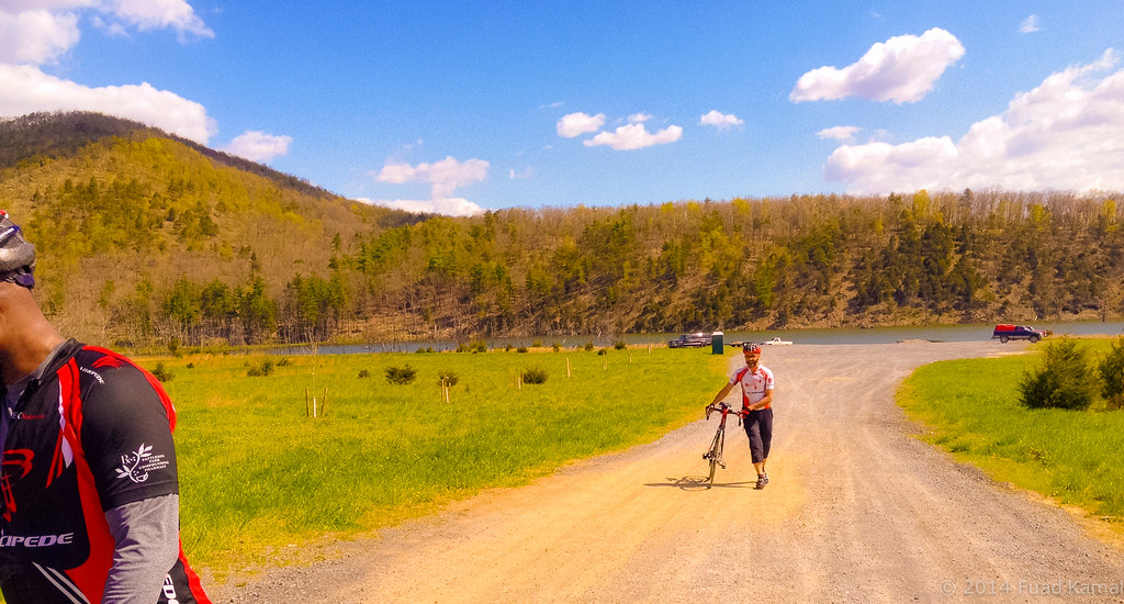
catching the view while we stop to fix a flat
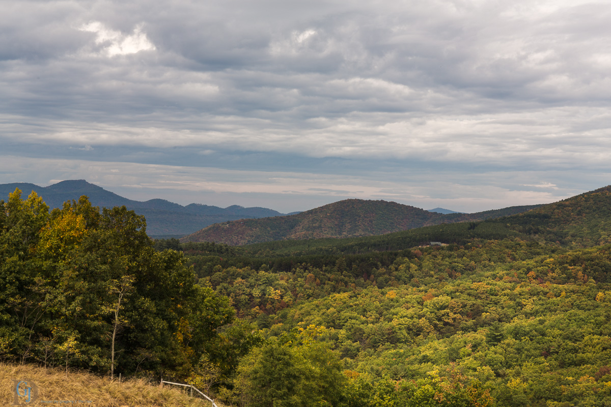
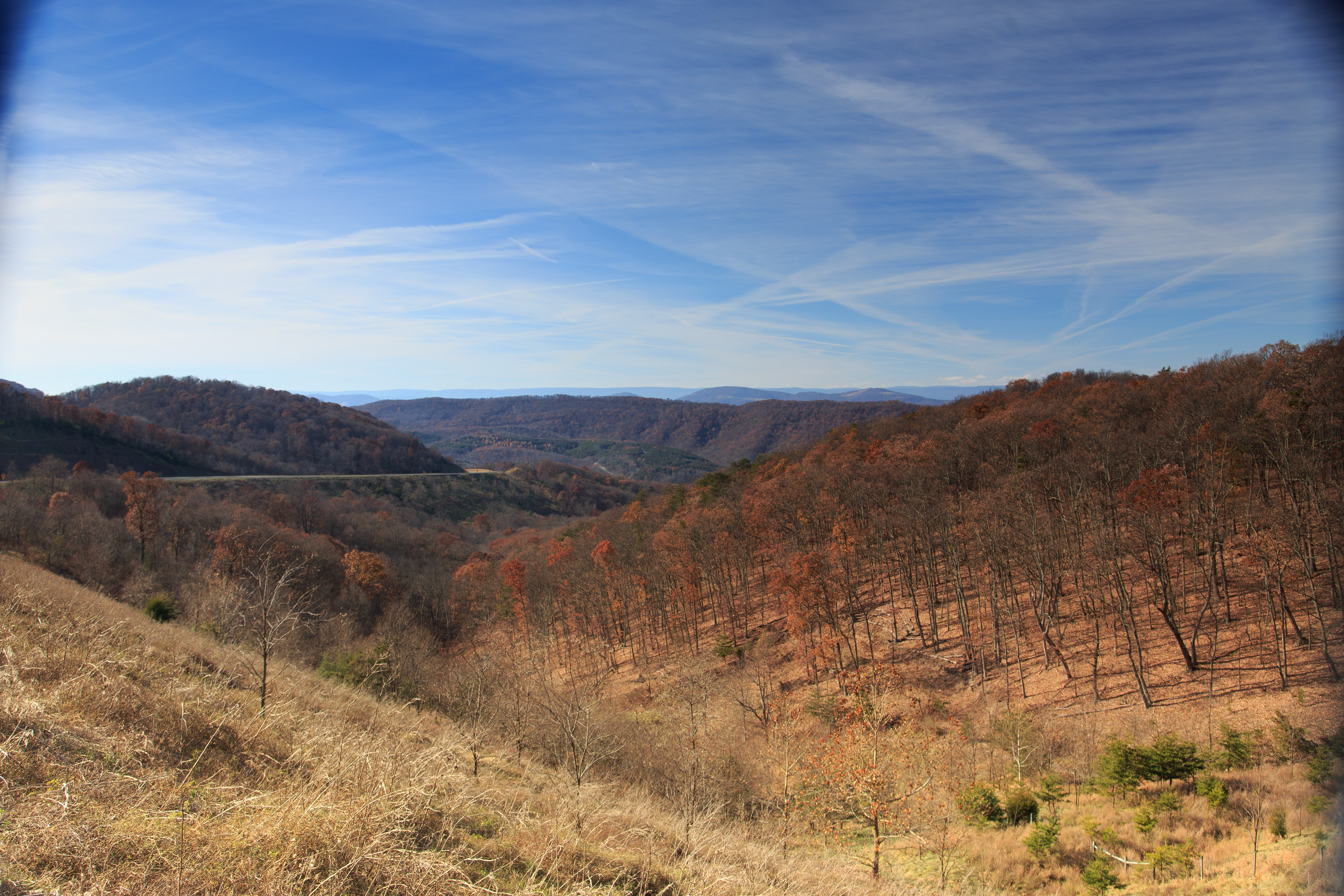
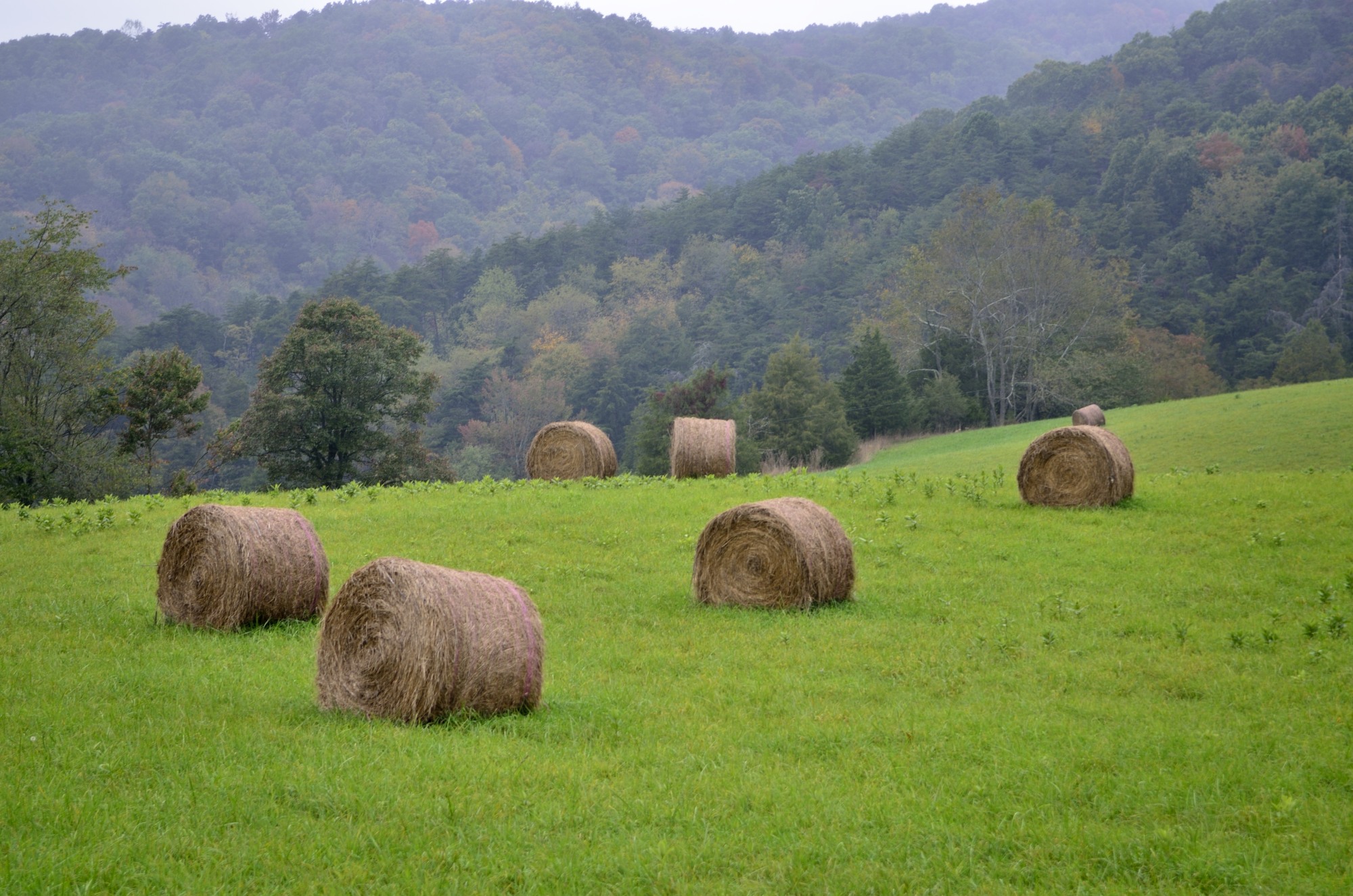
Appalachian Autumn

The view around the pond at Winchester Medical Center

The view around the pond at Winchester Medical Center
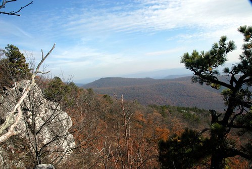
Ridge View
South Branch Potomac River

The view around the pond at Winchester Medical Center

The view around the pond at Winchester Medical Center

The view around the pond at Winchester Medical Center

Late Fall in George Washington Forest, Virginia

The view around the pond at Winchester Medical Center
Distant view of Bryce Mountain Resort
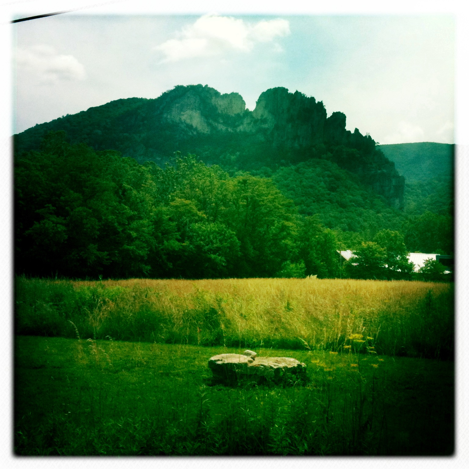
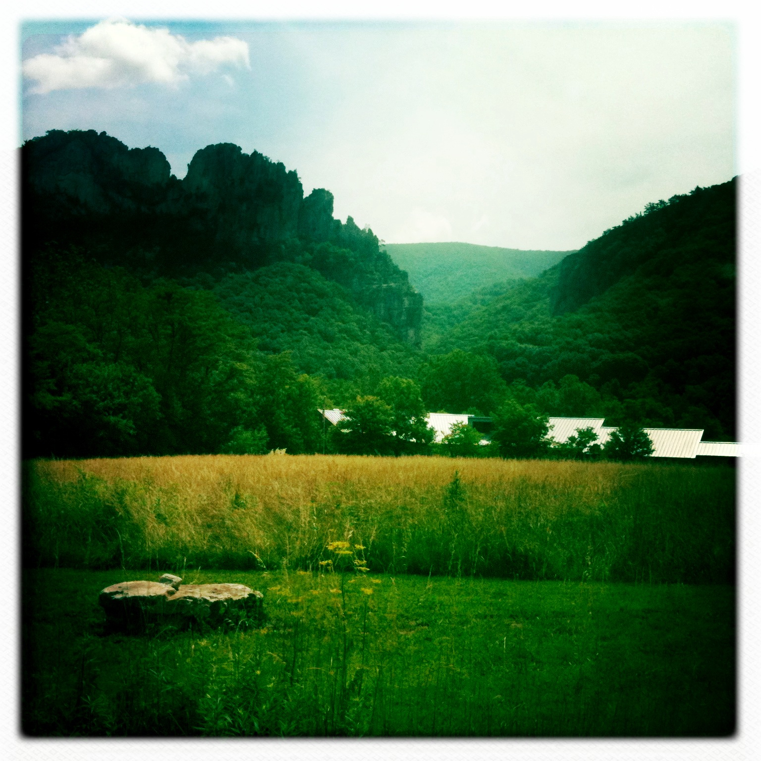
Lost River
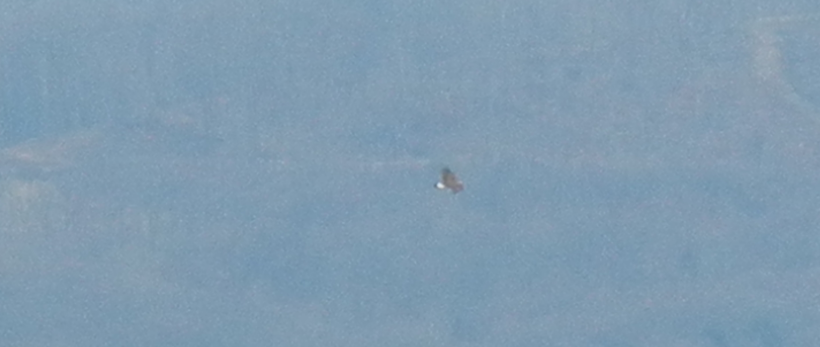
Golden Eagle immature GBBC
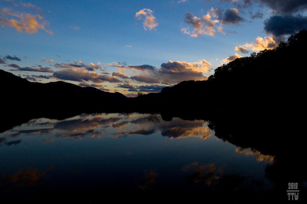
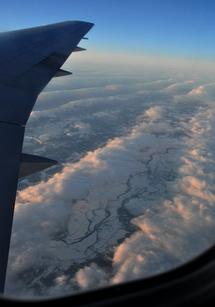
Sunset At 10 Feet

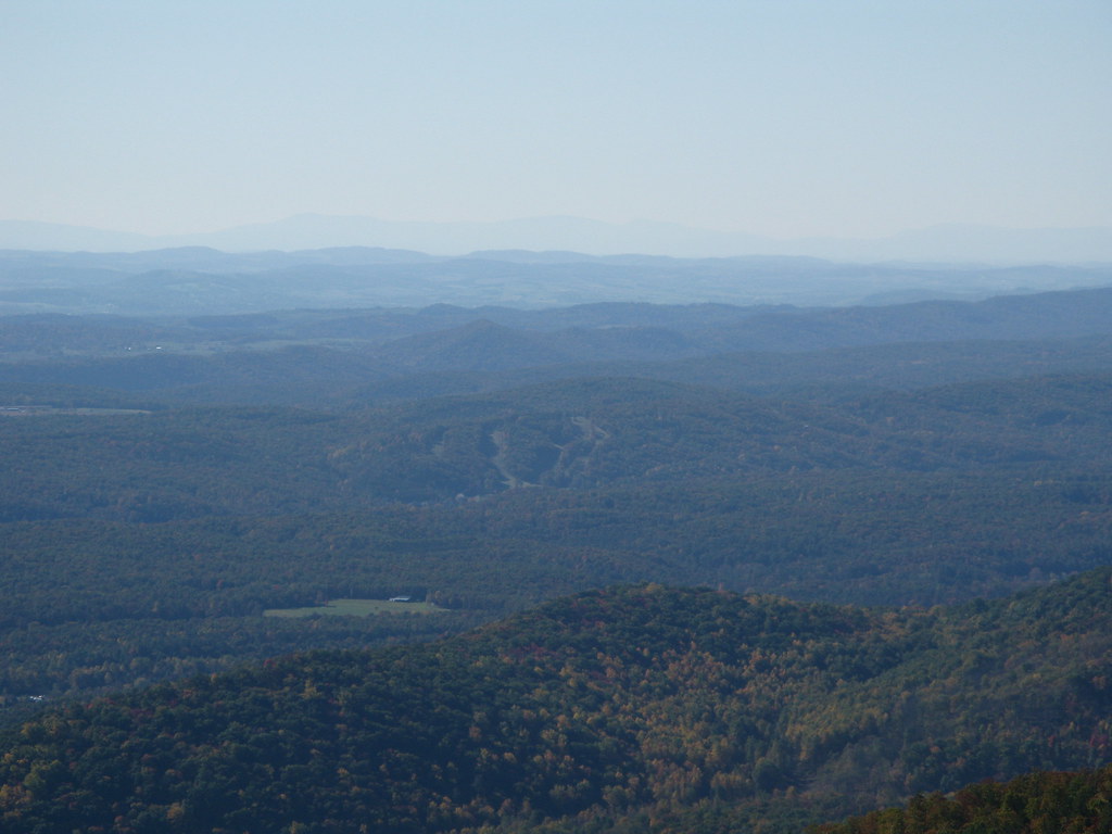
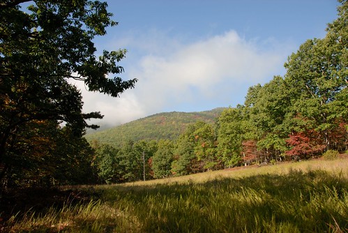
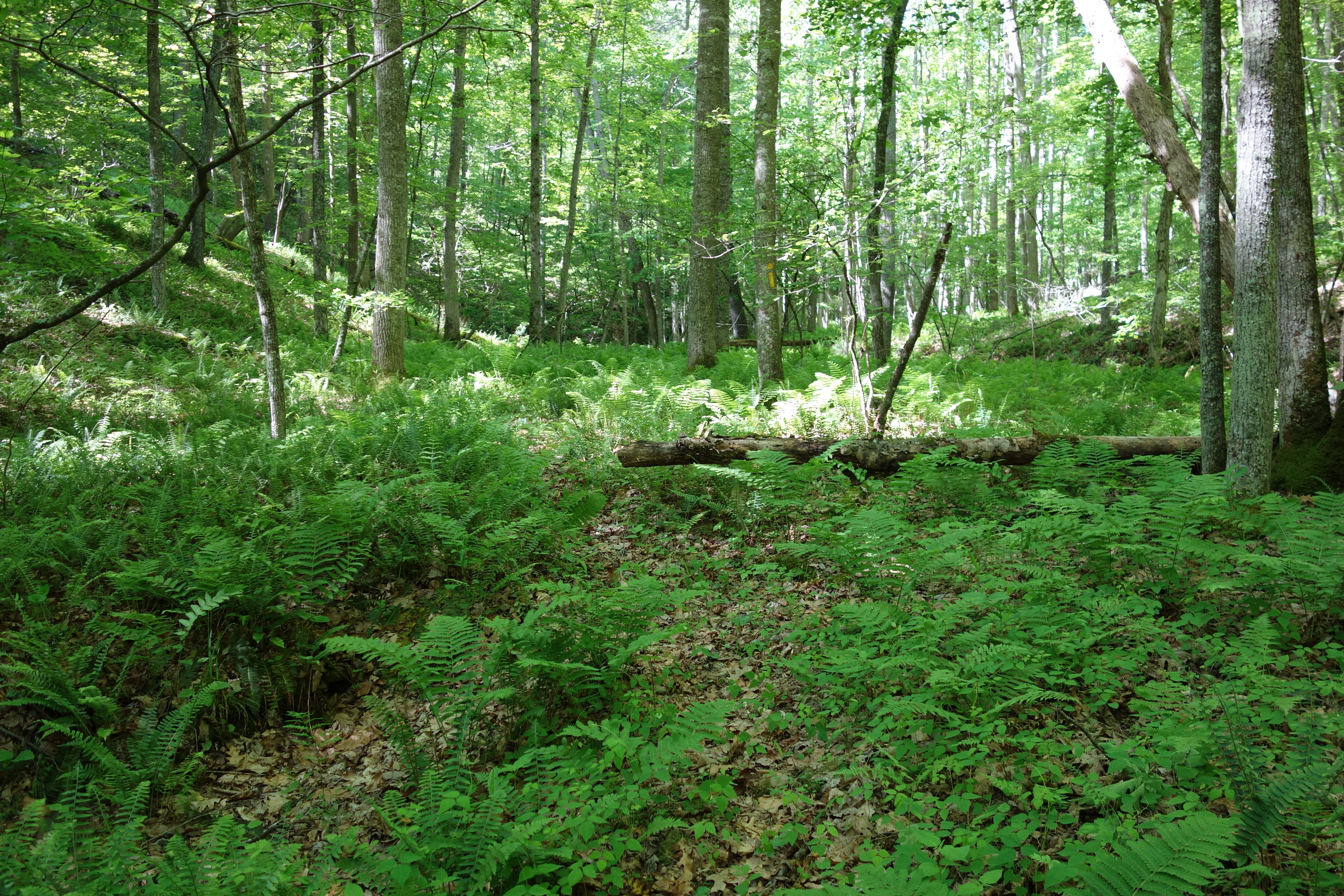
Forested mountains in Hardy County, W.Va.

Forested mountains in Hardy County, W.Va.

Forested mountains in Hardy County, W.Va.
Red hill landscape
Kimsey Run Lake
Camera Roll-263
Camera Roll-264

Clouds rolling through the gap
West VA 121001_120rs
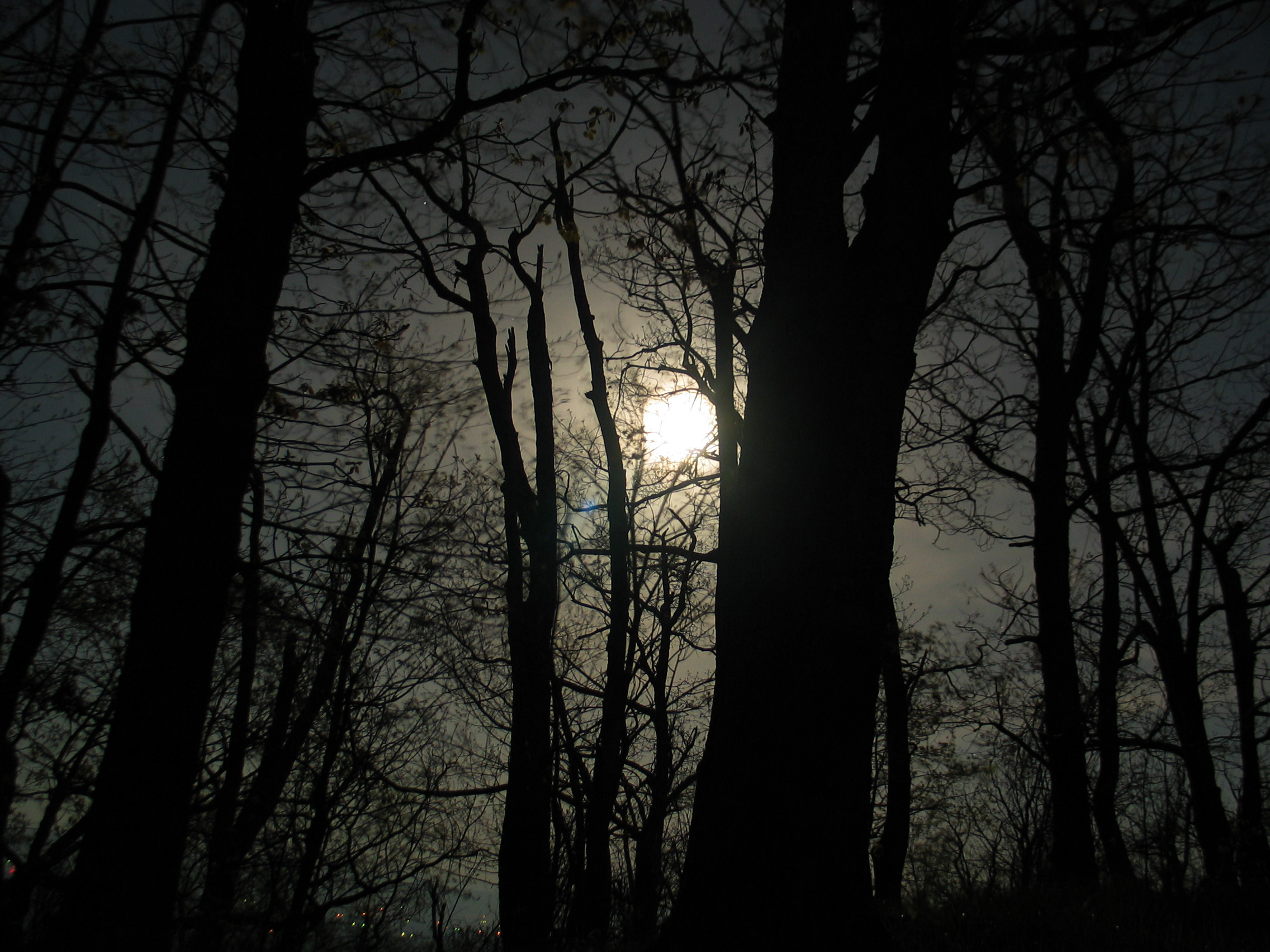
Moon Through Trees

Forested mountains in Hardy County, W.Va.

American Tree Sparrow
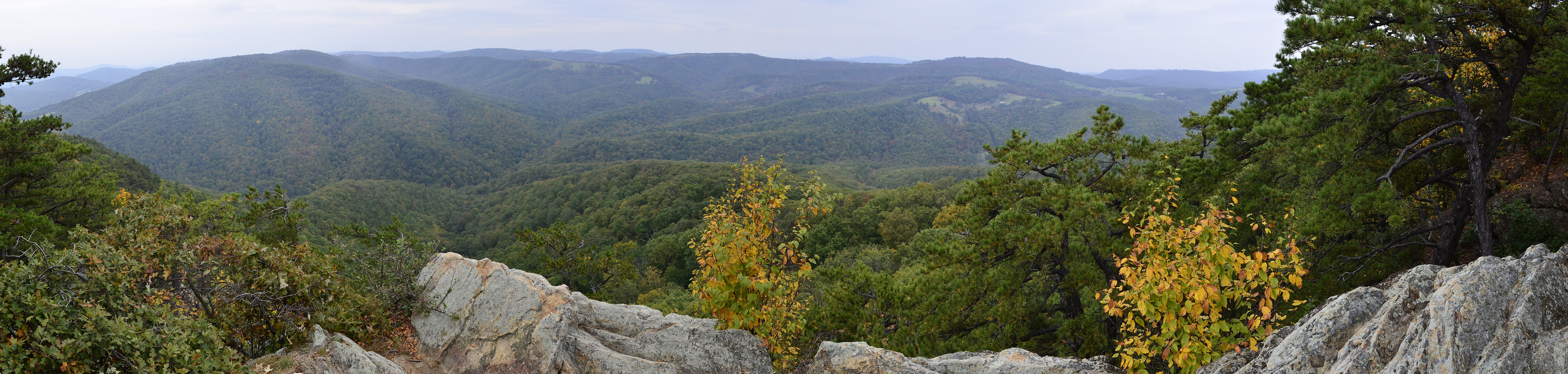
West VA 121001_103 pan s
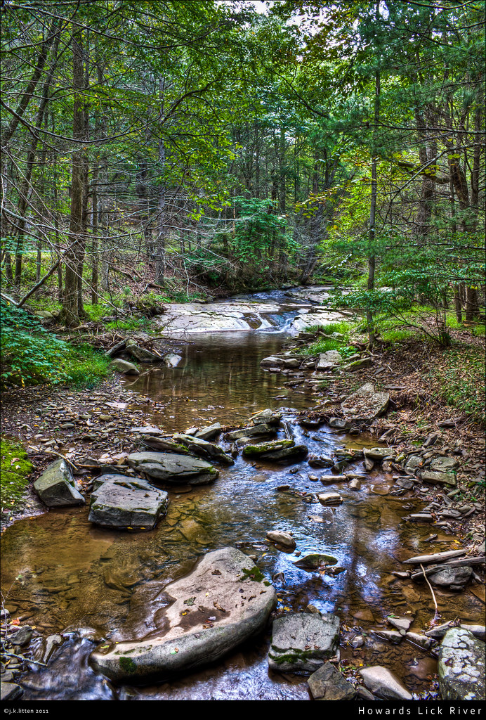
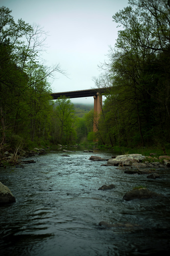
Howards Lick River
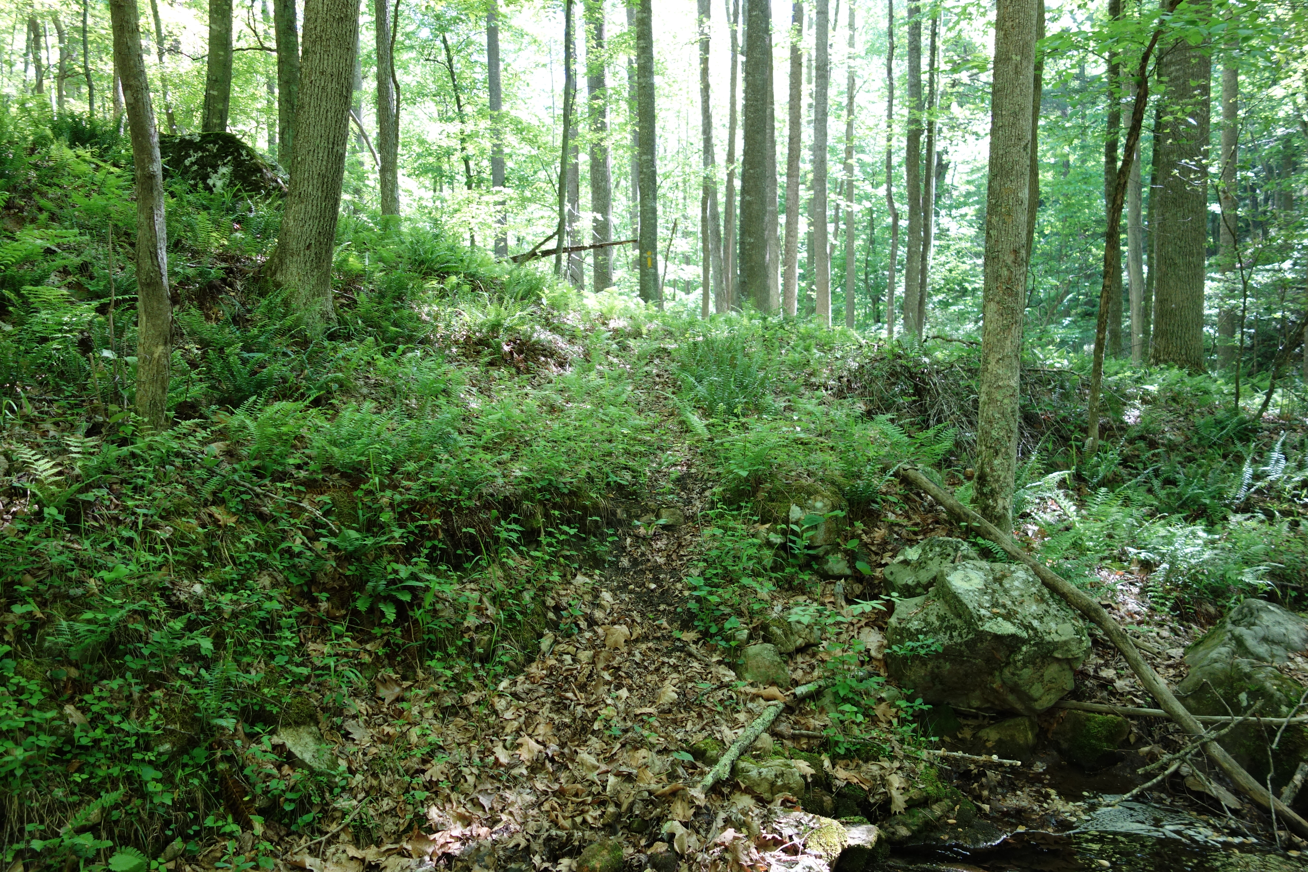
DSC01356 009 Stream Xing
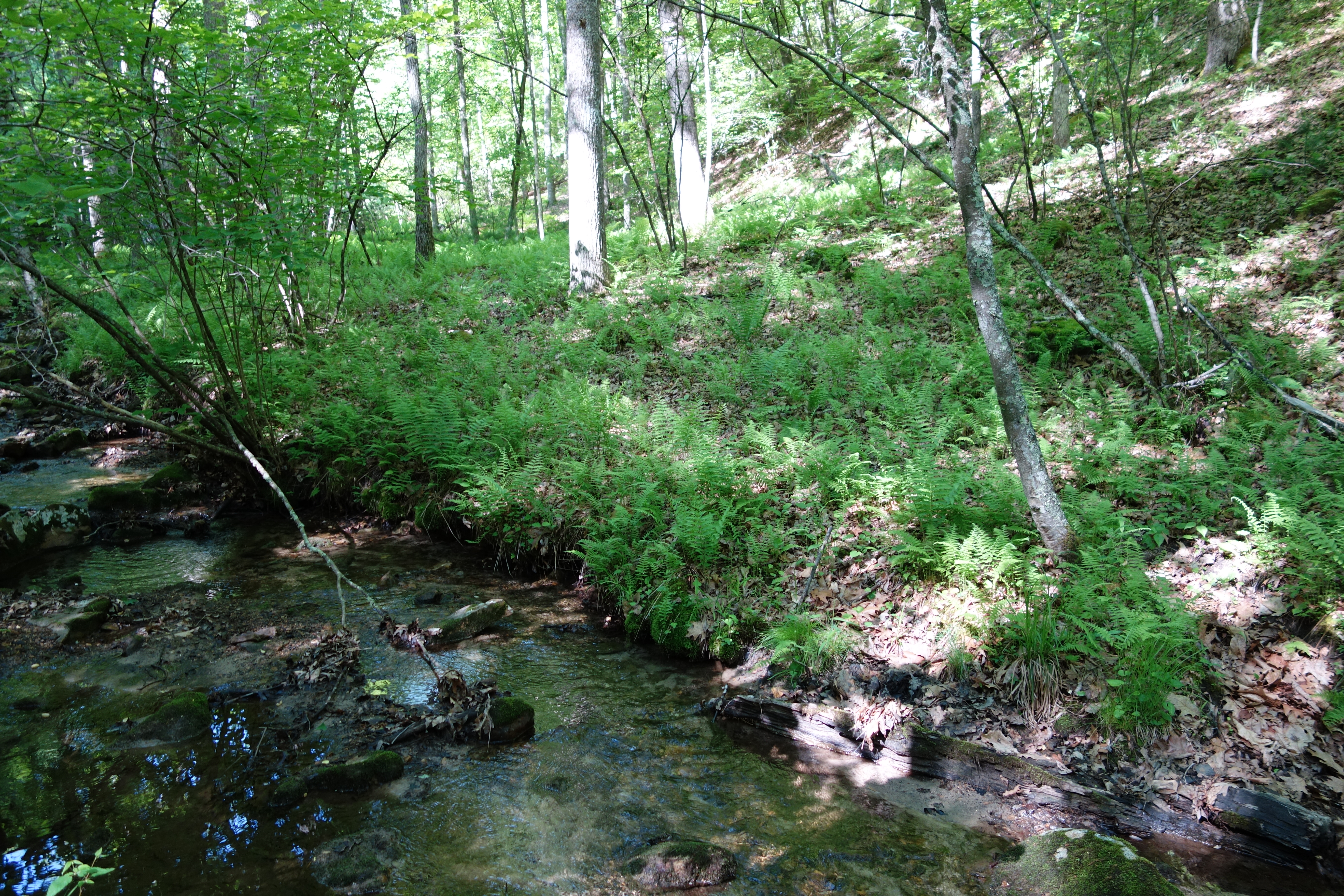
DSC01340 004 Stream Xing
20090307-_MG_9667
wildlife clearing
DSC01363 011 Stream Xing
Topographic Map of White Oak Pass, Lost River, WV, USA
Find elevation by address:

Places near White Oak Pass, Lost River, WV, USA:
High Rock Road
High Rock Road
263 Mountain Meadow Drive
263 Mountain Meadow
263 Mountain Meadow
Terra Alta School Road
444 Hunting Ridge Rd
111 Hunting Ridge Rd
Lost River
6981 Wv-259
Lost City
WV-, Mathias, WV, USA
Lost River
55 Hunter Ln
1250 Whispering Pines Way
1012 Mill Gap Rd
77 Toms Knob Approach
Moonshine Hollow Road
Lost River State Park
646 Whispering Pines Way
Recent Searches:
- Elevation of Corso Fratelli Cairoli, 35, Macerata MC, Italy
- Elevation of Tallevast Rd, Sarasota, FL, USA
- Elevation of 4th St E, Sonoma, CA, USA
- Elevation of Black Hollow Rd, Pennsdale, PA, USA
- Elevation of Oakland Ave, Williamsport, PA, USA
- Elevation of Pedrógão Grande, Portugal
- Elevation of Klee Dr, Martinsburg, WV, USA
- Elevation of Via Roma, Pieranica CR, Italy
- Elevation of Tavkvetili Mountain, Georgia
- Elevation of Hartfords Bluff Cir, Mt Pleasant, SC, USA