Elevation of Lost River, WV, USA
Location: United States > West Virginia > Hardy County > Lost River >
Longitude: -78.805796
Latitude: 38.9561313
Elevation: 420m / 1378feet
Barometric Pressure: 96KPa
Elevation Map:
Satellite Map:
Related Photos:
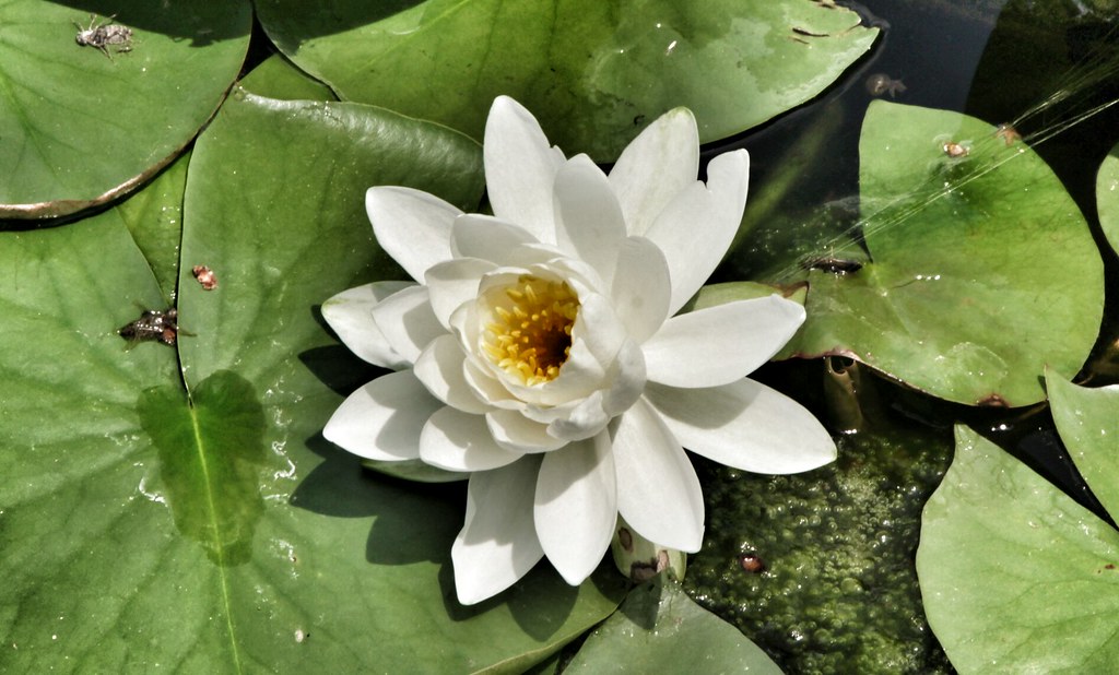
The view around the pond at Winchester Medical Center

The view around the pond at Winchester Medical Center

The view around the pond at Winchester Medical Center

Sunrise Hike

DSC00996 006 Max Spitzer Overlook view
DSC01435 027 View
Big Schloss View 3
DSC01432 027 View
Big Schloss View 1
Big Schloss View 2
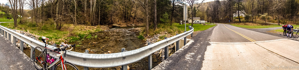
catching the view while we stop to fix a flat
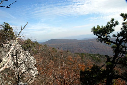
Ridge View
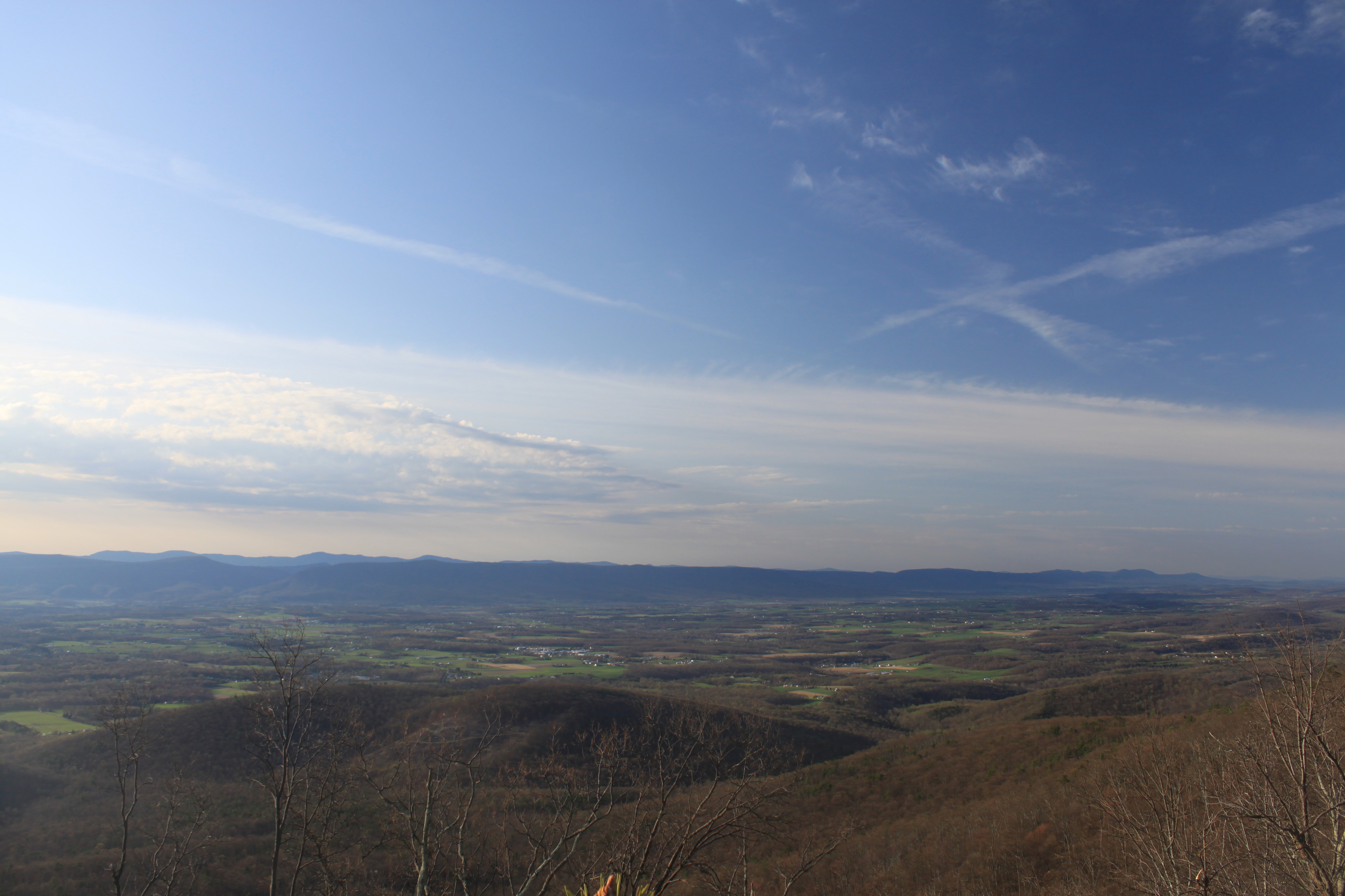
Shenandoah Valley morning

The view around the pond at Winchester Medical Center
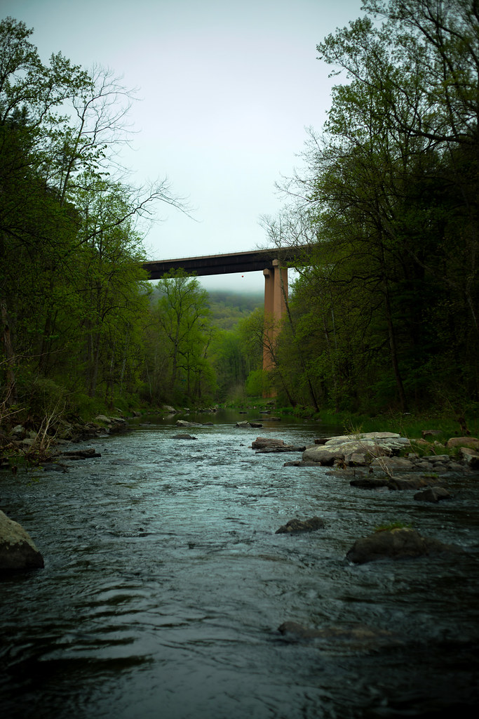
Lost River
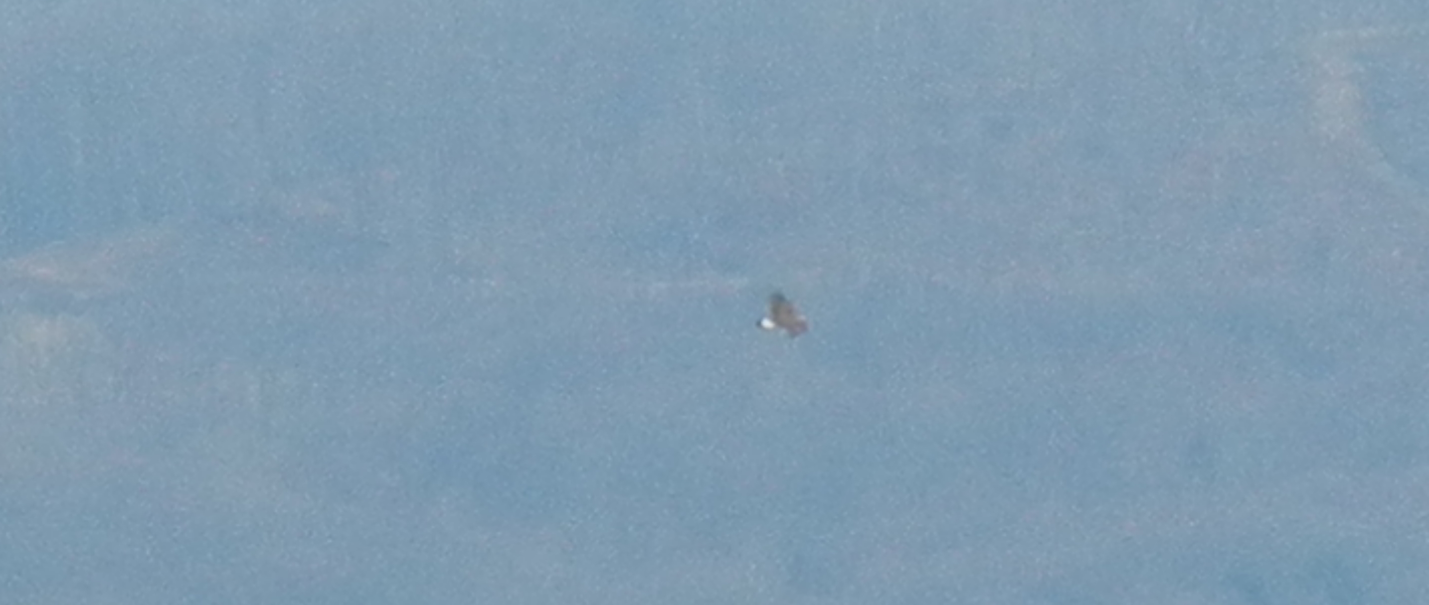
Golden Eagle immature GBBC

The view around the pond at Winchester Medical Center
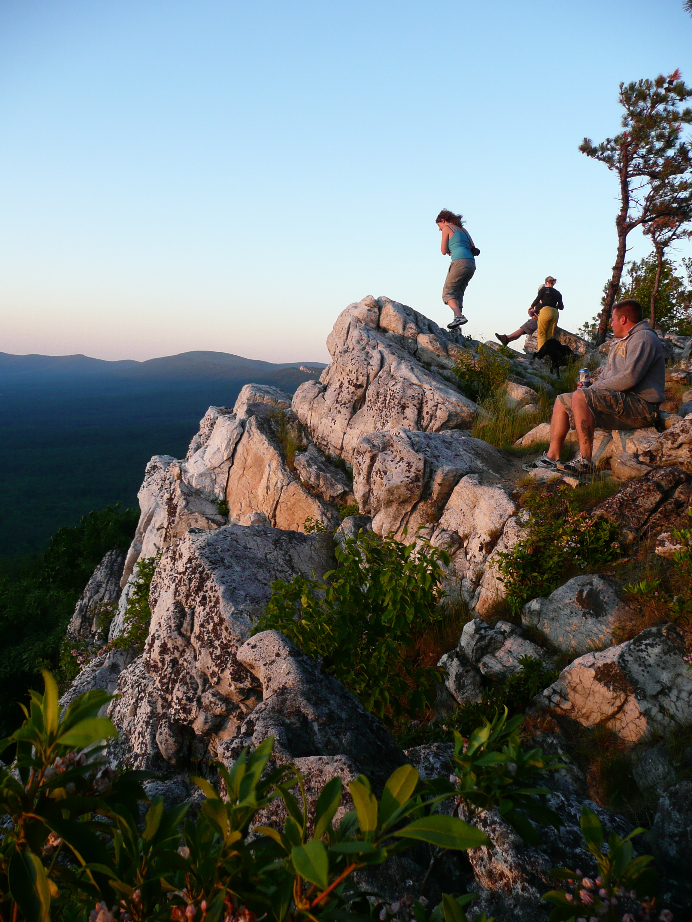
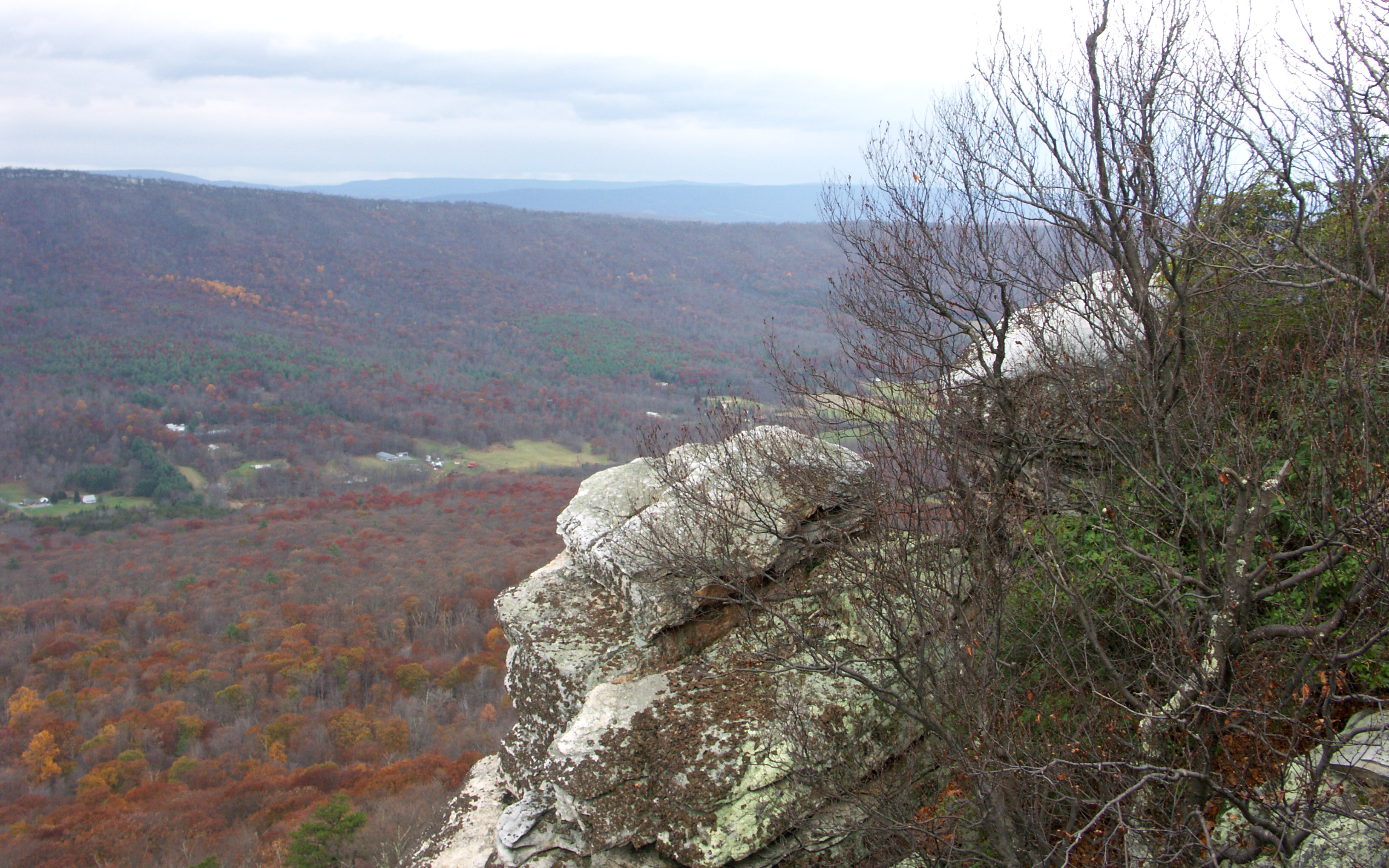
taking in the cliff view

The view around the pond at Winchester Medical Center
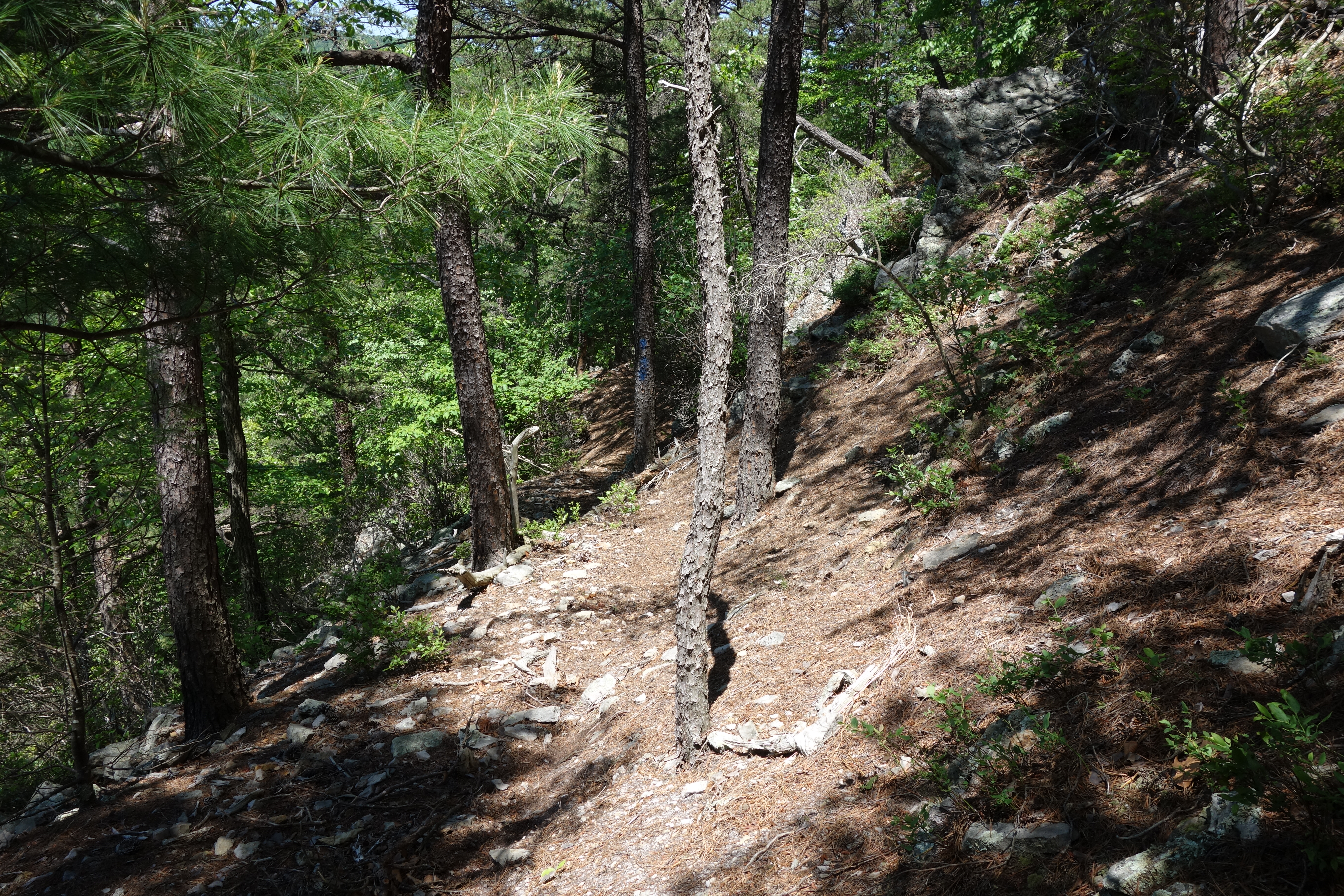
View from Big Schloss Trail

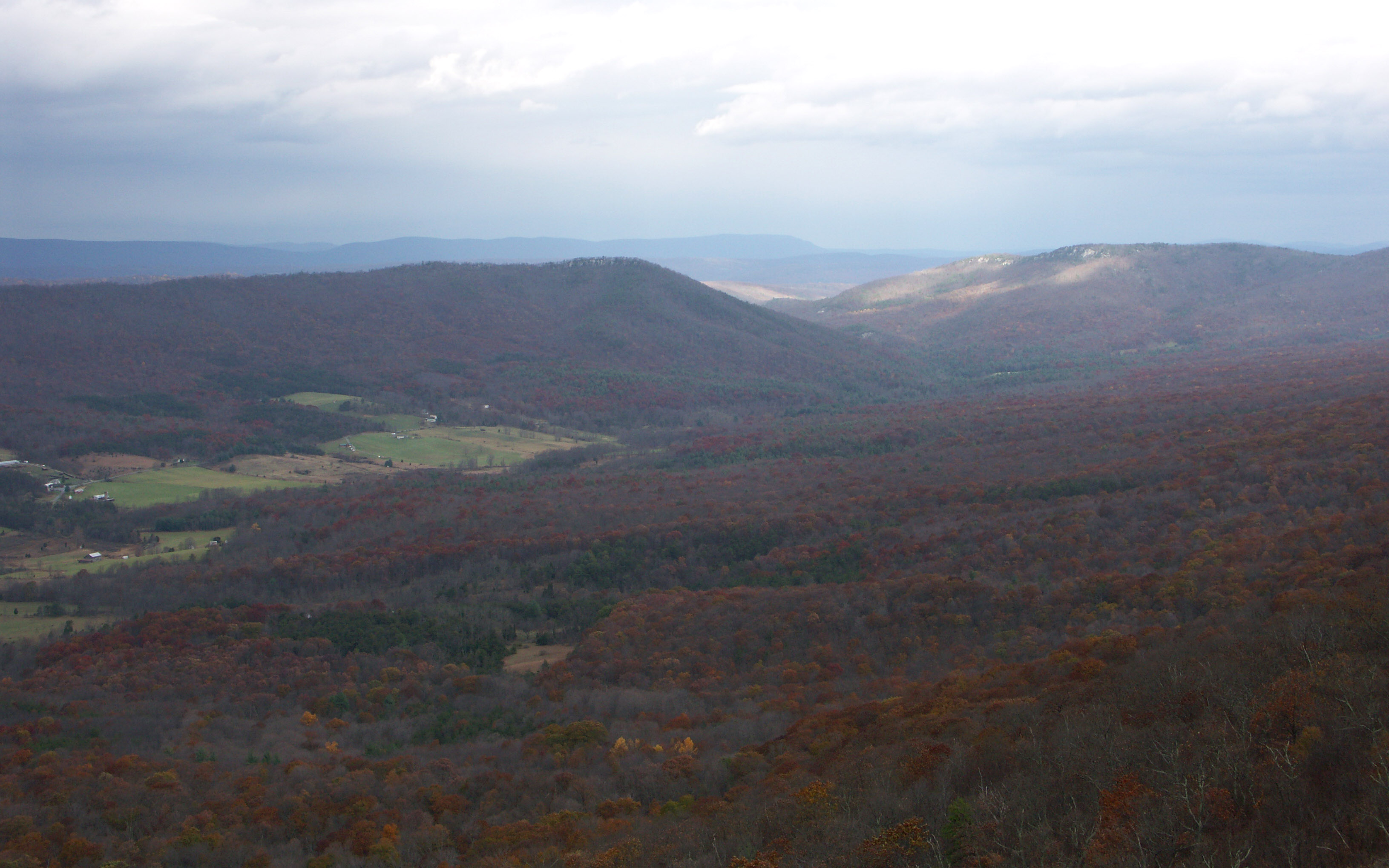
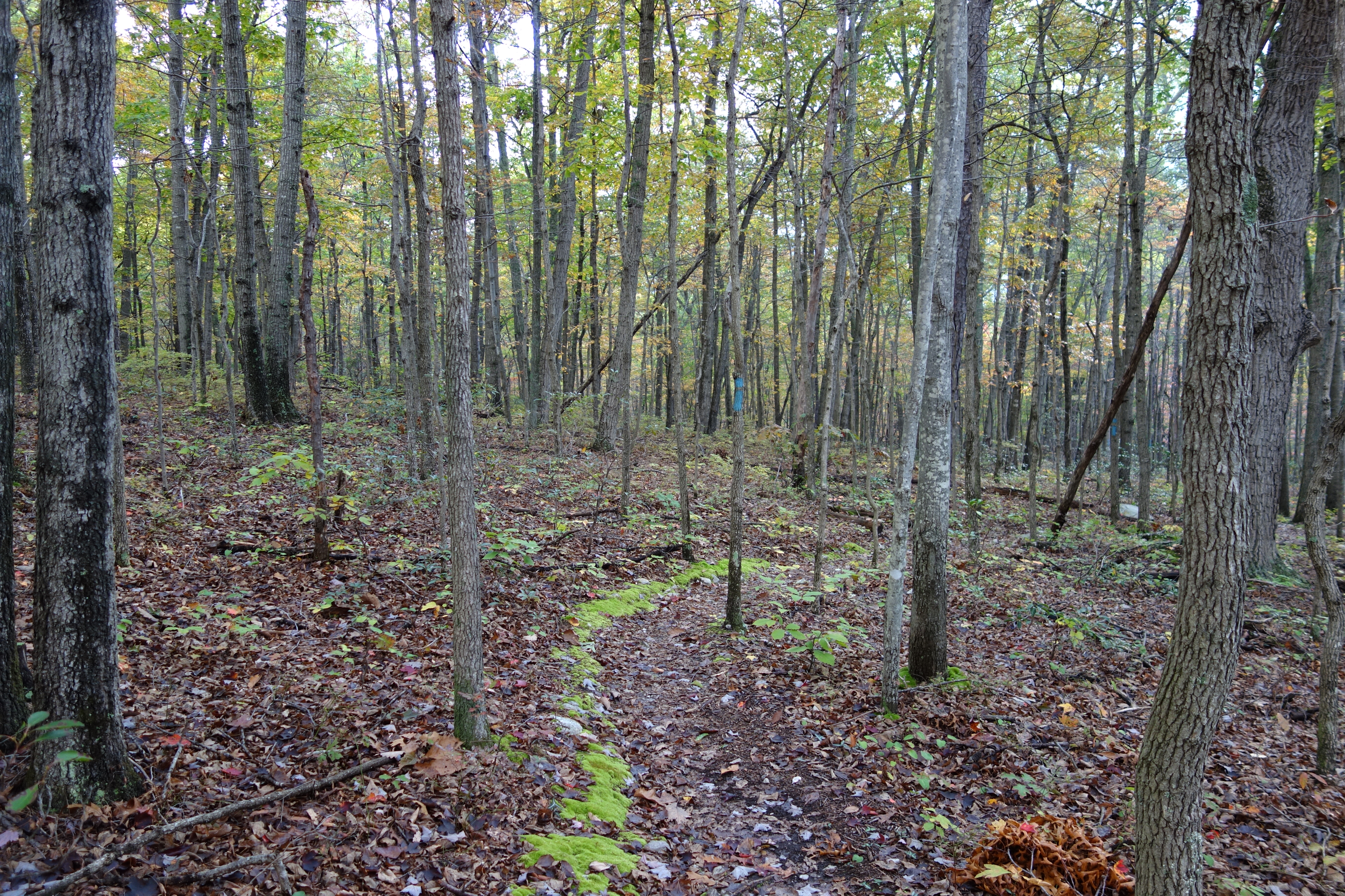
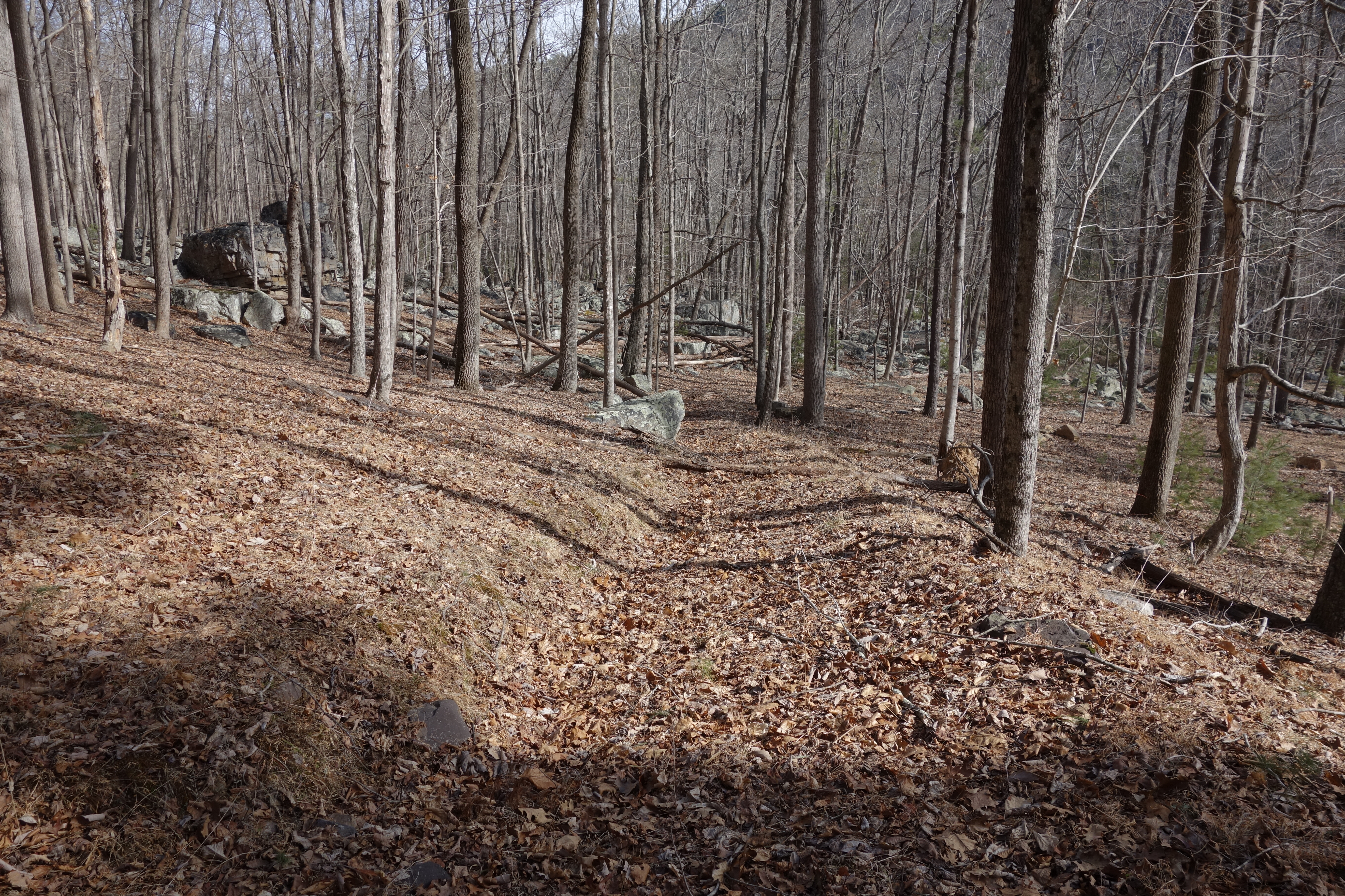
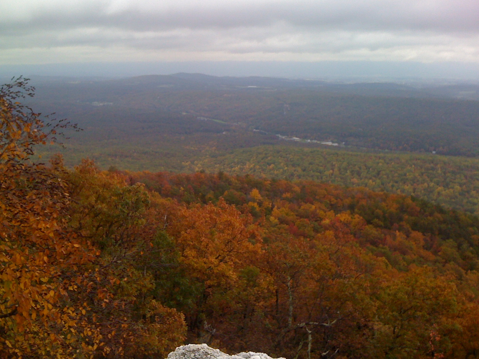
Late Fall in George Washington Forest, Virginia

trout run valley, wv
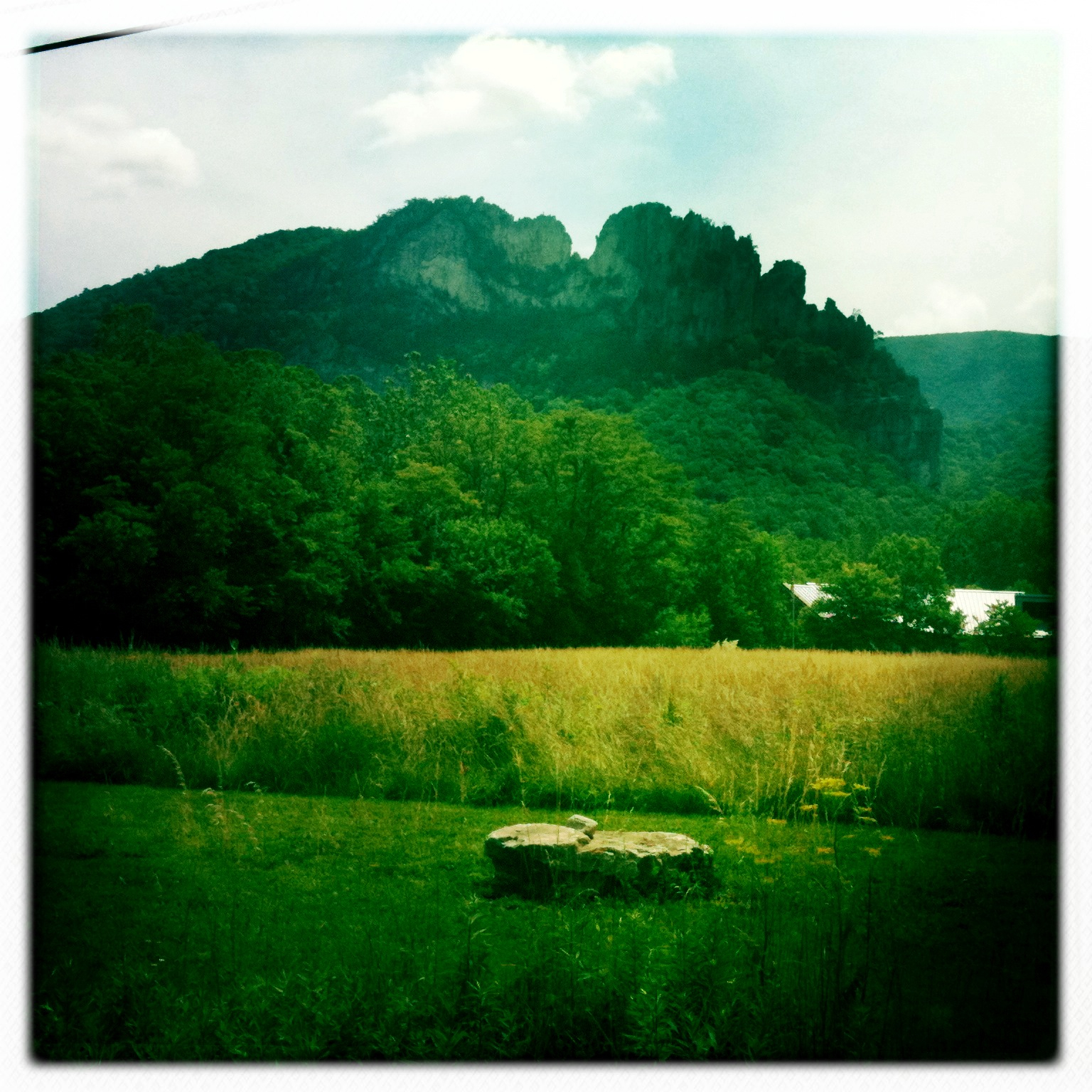
Camera Roll-263
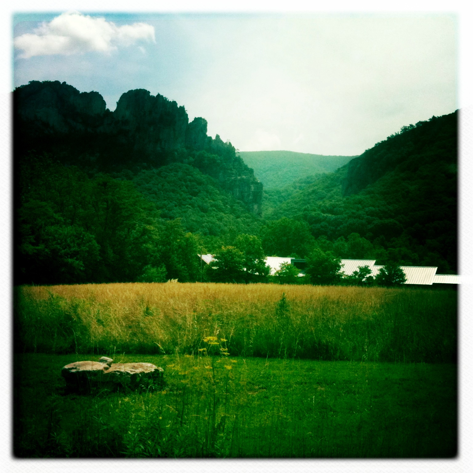
Camera Roll-264

Clouds rolling through the gap

DSC00670 004 Jct Big Schloss Ctof and Mill Mtn Tr
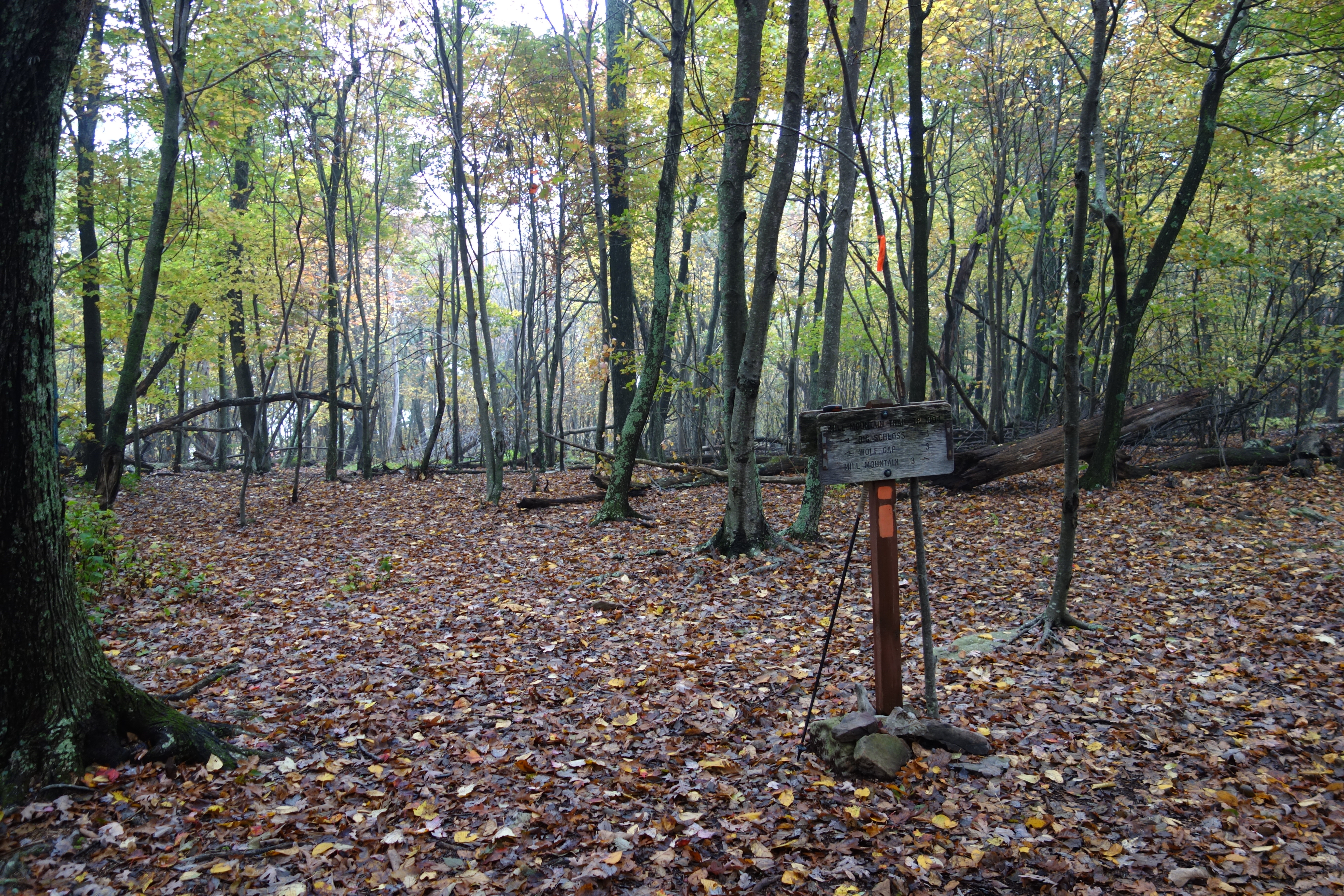
DSC00672 004 Jct Big Schloss Ctof and Mill Mtn Tr
DSC00666 003 Big Schloss Ctof Tr sign

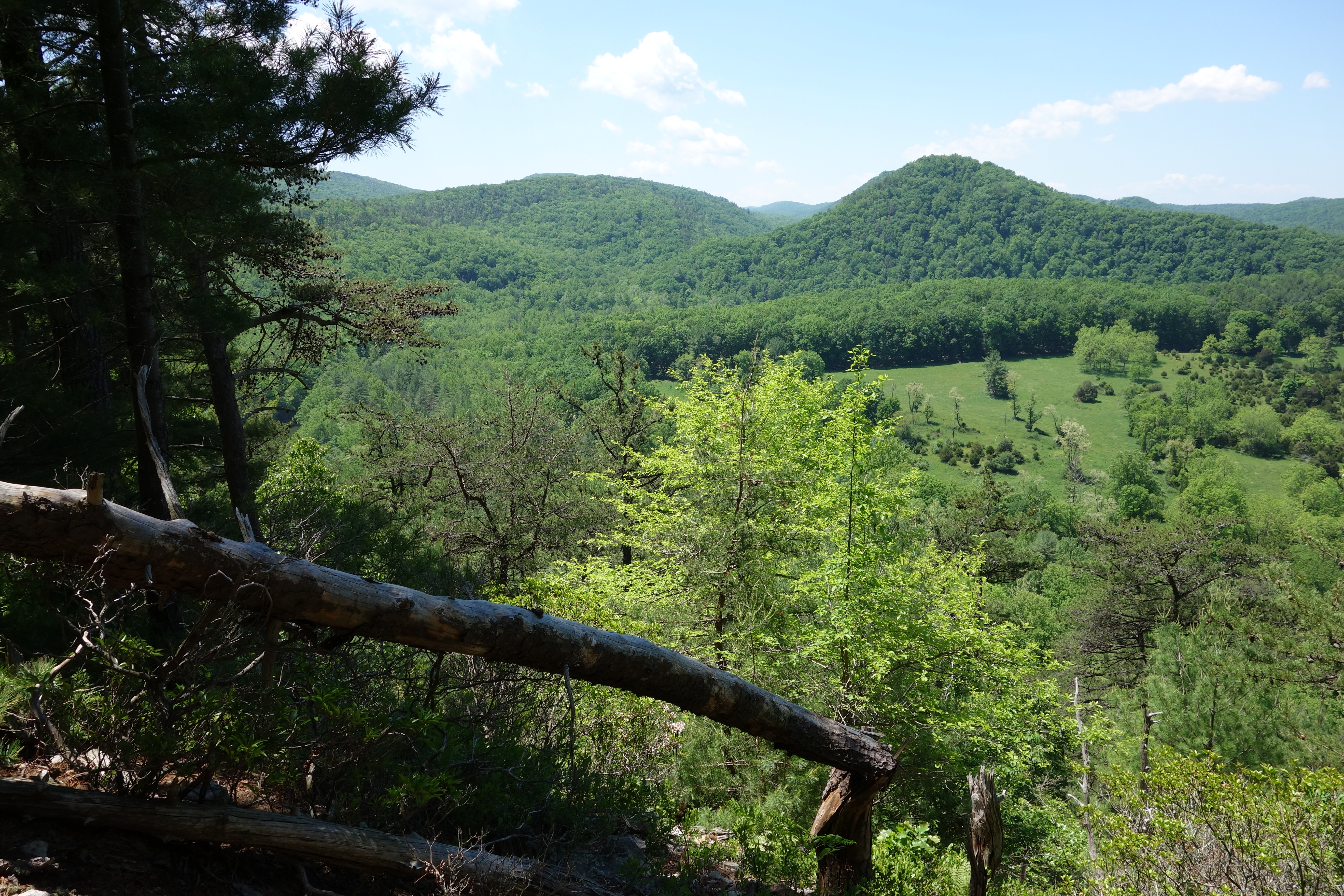
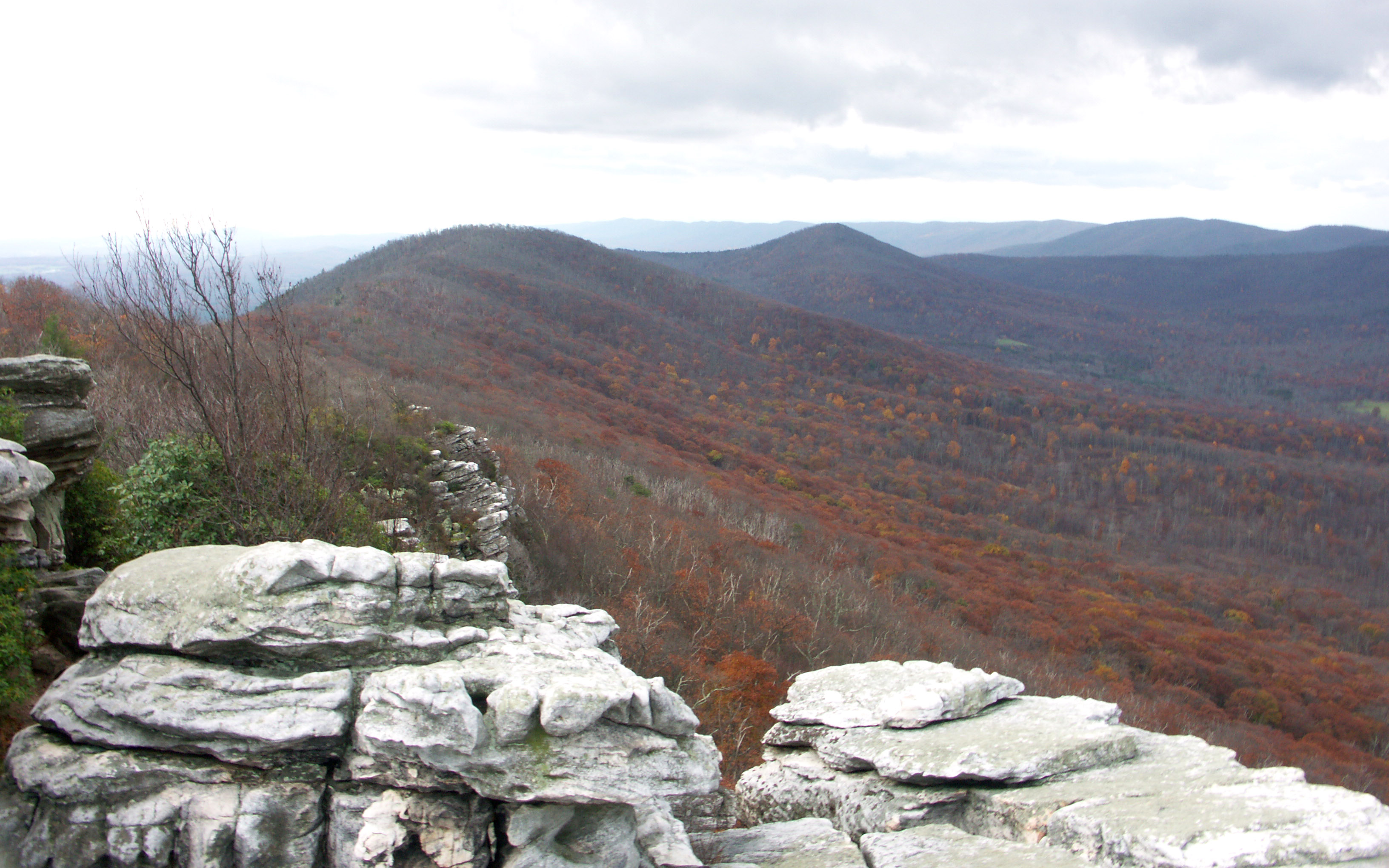
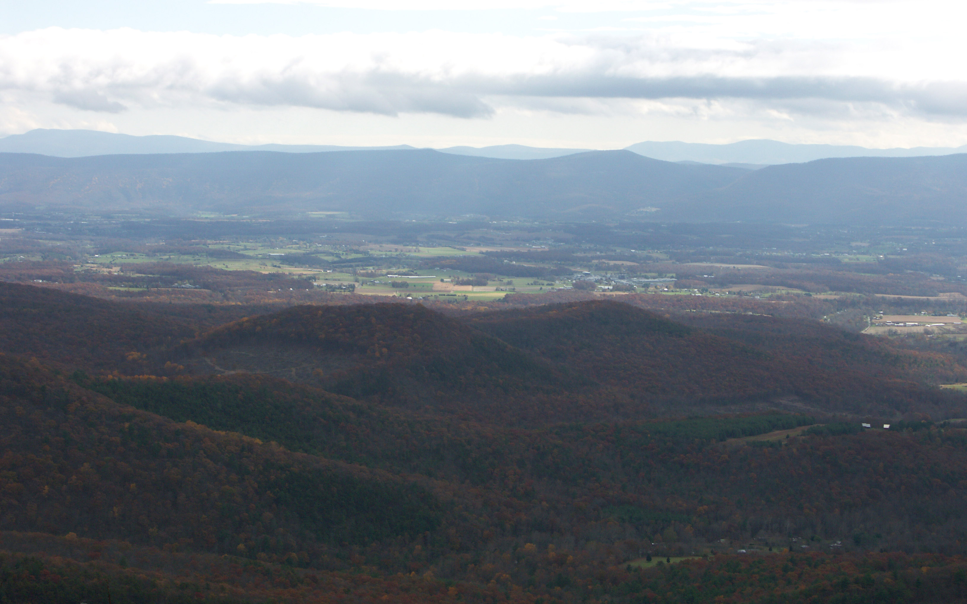
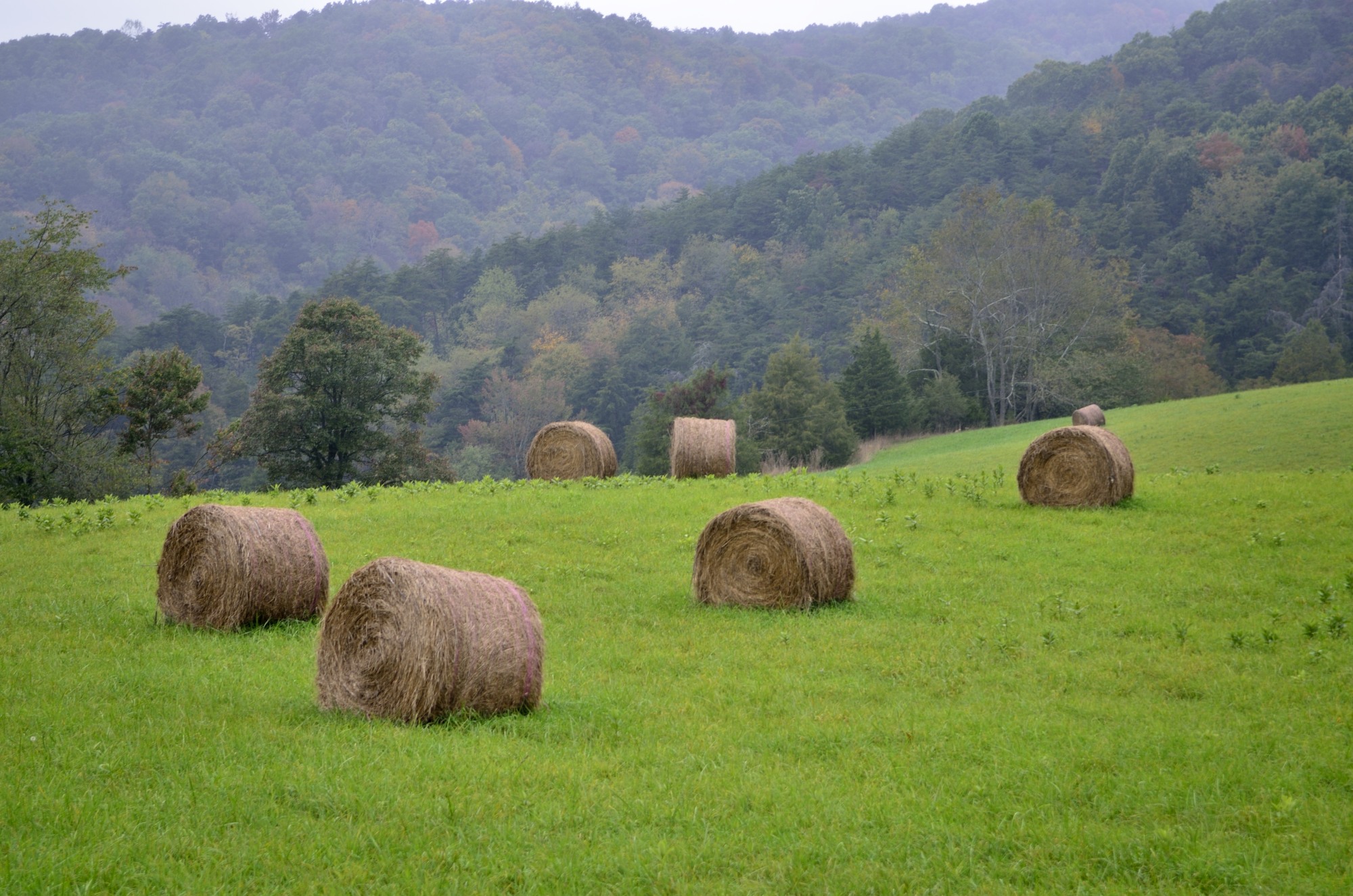
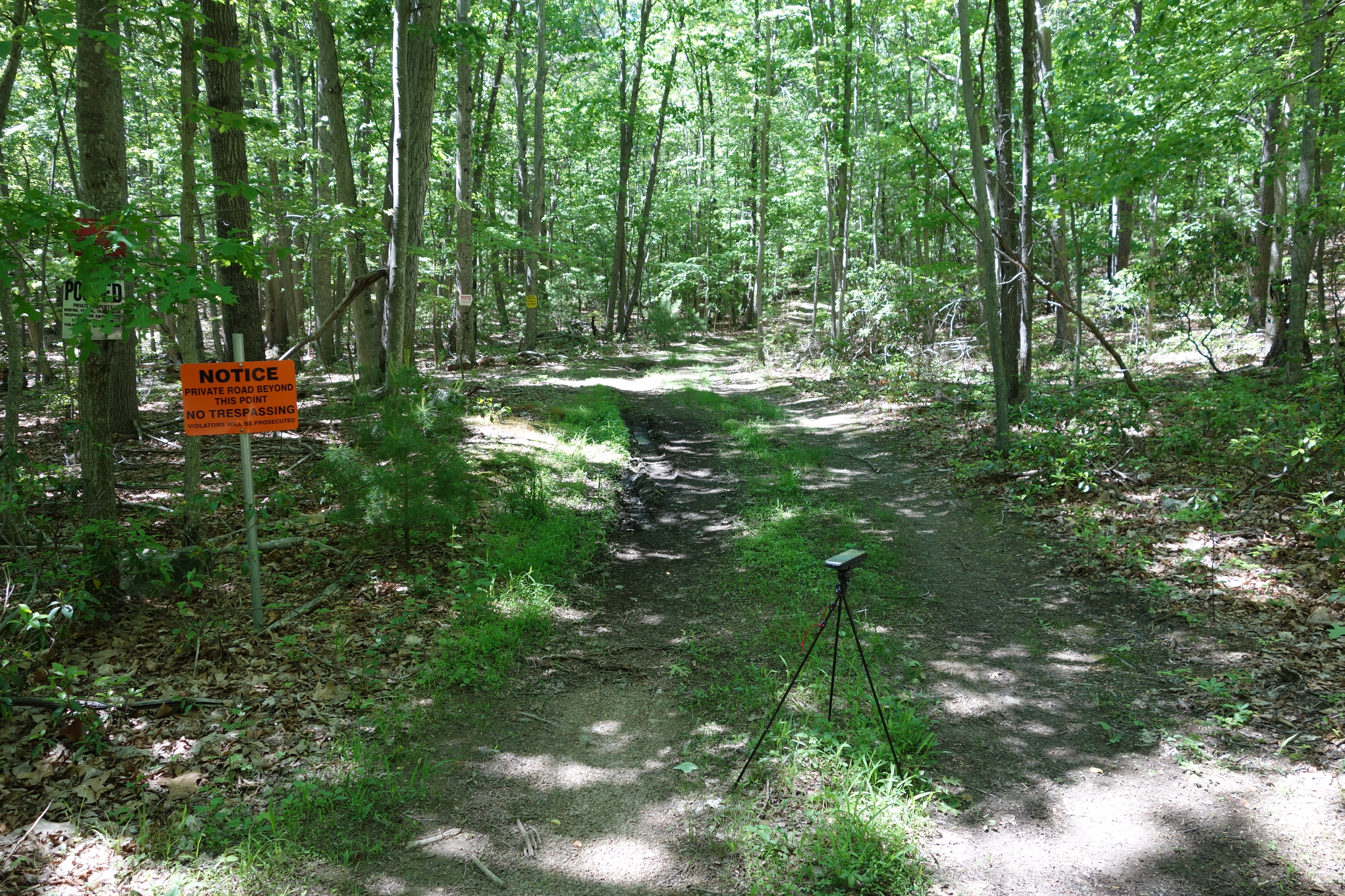
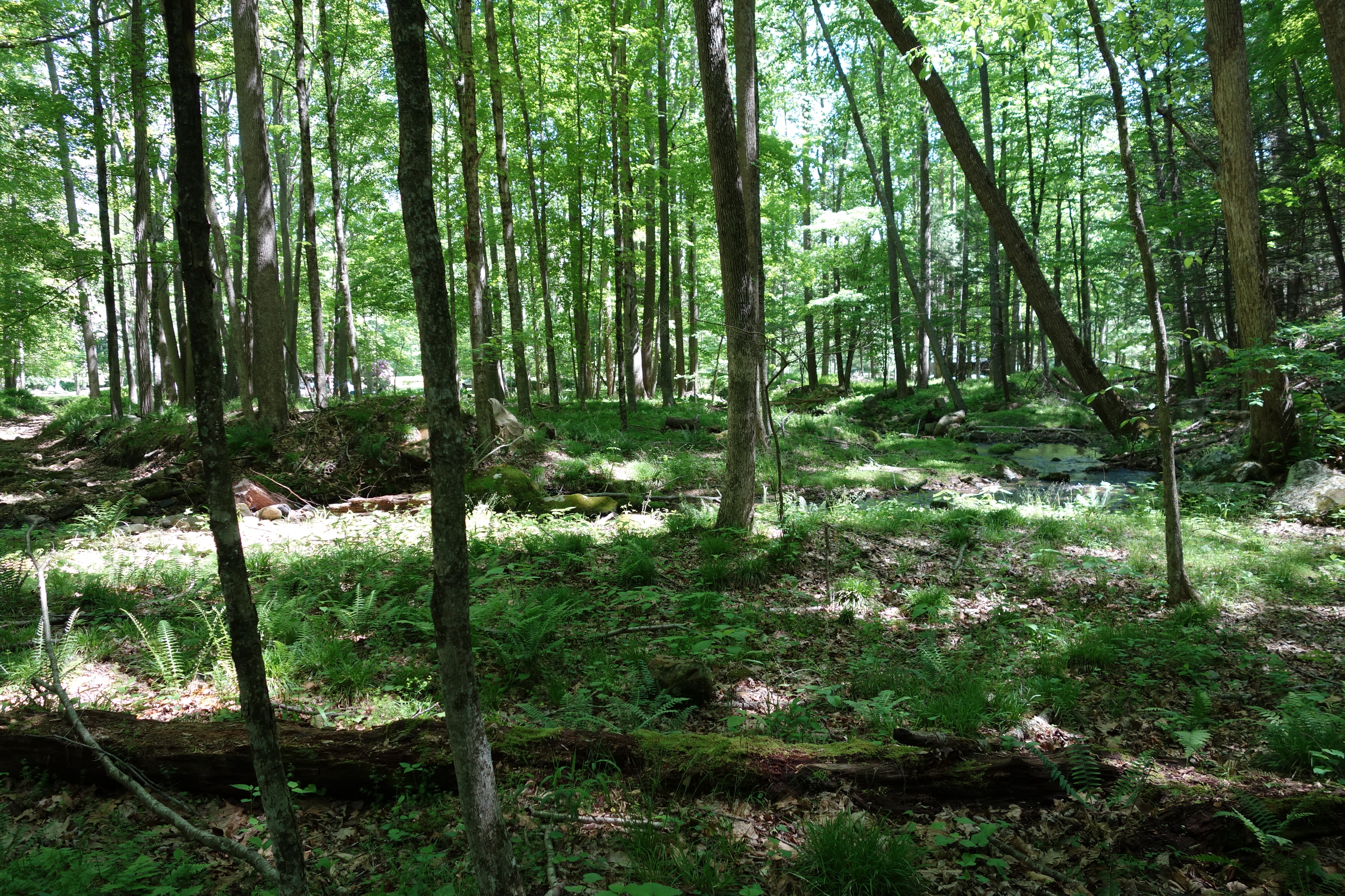
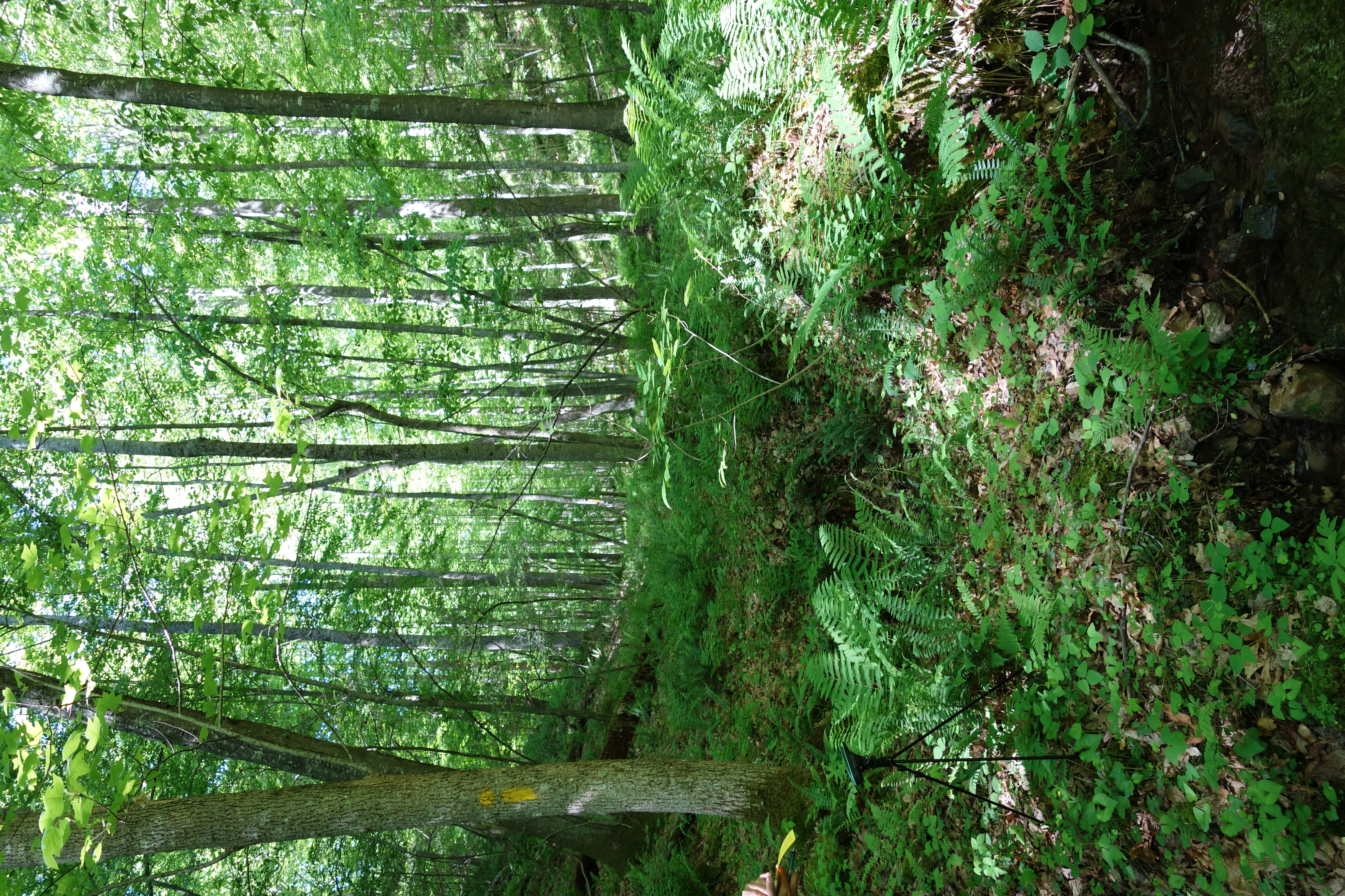
Forested mountains in Hardy County, W.Va.
West VA 121001_120rs
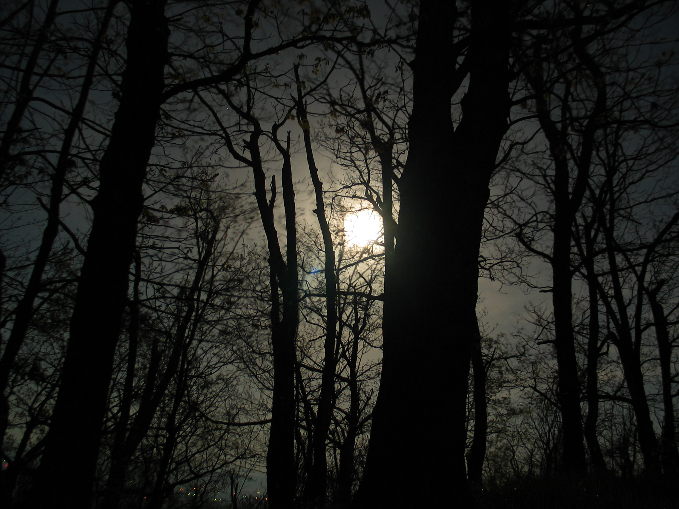
Moon Through Trees

Forested mountains in Hardy County, W.Va.

Forested mountains in Hardy County, W.Va.

American Tree Sparrow

Forested mountains in Hardy County, W.Va.
DSC00974 005 Utility Tr near Squirrel Gap Tr Old Rte 55
DSC01326 012 FR 1851 private land bndy
North mt

DSC01002 008 Blowdown
DSC01409 021 Bndy Private Land
DSC01371 013 Stream Xing
DSC01354 009 Stream Xing
Topographic Map of Lost River, WV, USA
Find elevation by address:

Places in Lost River, WV, USA:
Places near Lost River, WV, USA:
1012 Mill Gap Rd
1250 Whispering Pines Way
Moonshine Hollow Road
646 Whispering Pines Way
77 Toms Knob Approach
6981 Wv-259
758 Riffey Mountain Ln
848 Settlers Valley Way
848 Settlers Valley Way
WV-, Mathias, WV, USA
Lost City
251 Riffey Mountain Ln
Terra Alta School Road
2389 Middle Cove Run Rd
310 Coyote Run
310 Coyote Run
White Oak Pass
Lost River
55 Hunter Ln
41 Middle Cove Run Rd, Mathias, WV, USA
Recent Searches:
- Elevation of Corso Fratelli Cairoli, 35, Macerata MC, Italy
- Elevation of Tallevast Rd, Sarasota, FL, USA
- Elevation of 4th St E, Sonoma, CA, USA
- Elevation of Black Hollow Rd, Pennsdale, PA, USA
- Elevation of Oakland Ave, Williamsport, PA, USA
- Elevation of Pedrógão Grande, Portugal
- Elevation of Klee Dr, Martinsburg, WV, USA
- Elevation of Via Roma, Pieranica CR, Italy
- Elevation of Tavkvetili Mountain, Georgia
- Elevation of Hartfords Bluff Cir, Mt Pleasant, SC, USA