Elevation of Coyote Run, Mathias, WV, USA
Location: United States > West Virginia > Hardy County > Lost River > Mathias >
Longitude: -78.806703
Latitude: 38.8805978
Elevation: 645m / 2116feet
Barometric Pressure: 94KPa
Elevation Map:
Satellite Map:
Related Photos:

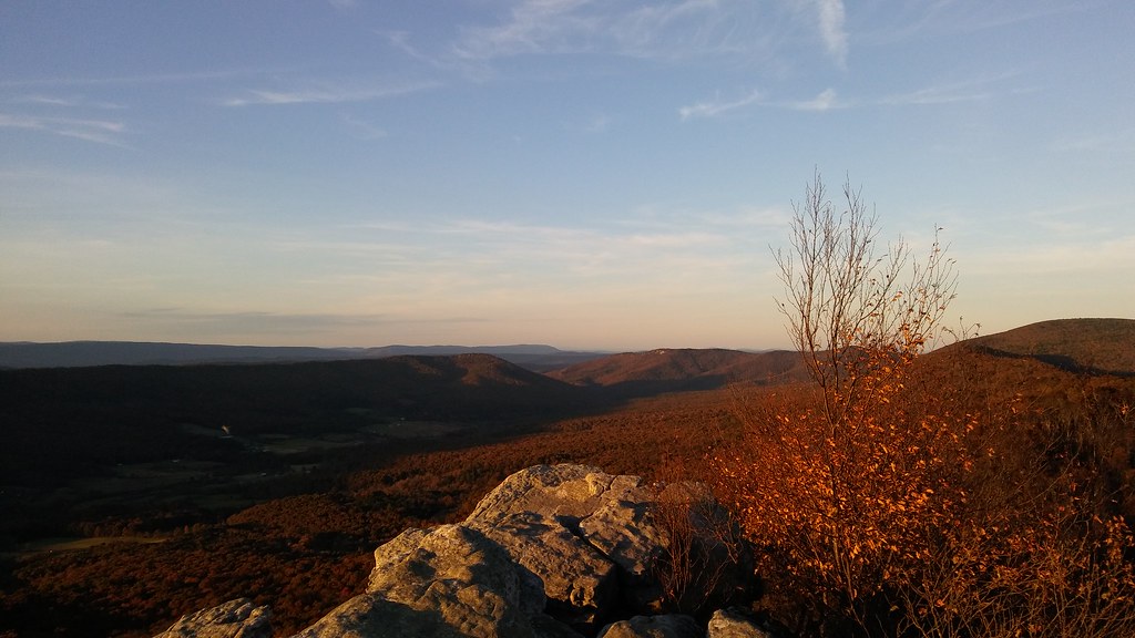
View Of Great North Mountain From Conicville
Window view of mobile home

View from the Kudzu

View from Big Schloss, GWNF

The view around the pond at Winchester Medical Center

The view around the pond at Winchester Medical Center

Low light valley

The view around the pond at Winchester Medical Center

Shenandoah Valley morning

catching the view while we stop to fix a flat

The view around the pond at Winchester Medical Center
Big Schloss: North view

P3285504 04 Jct View Ahead at Tomahawk Pond Tr and Benches

The view around the pond at Winchester Medical Center

The view around the pond at Winchester Medical Center

The view around the pond at Winchester Medical Center

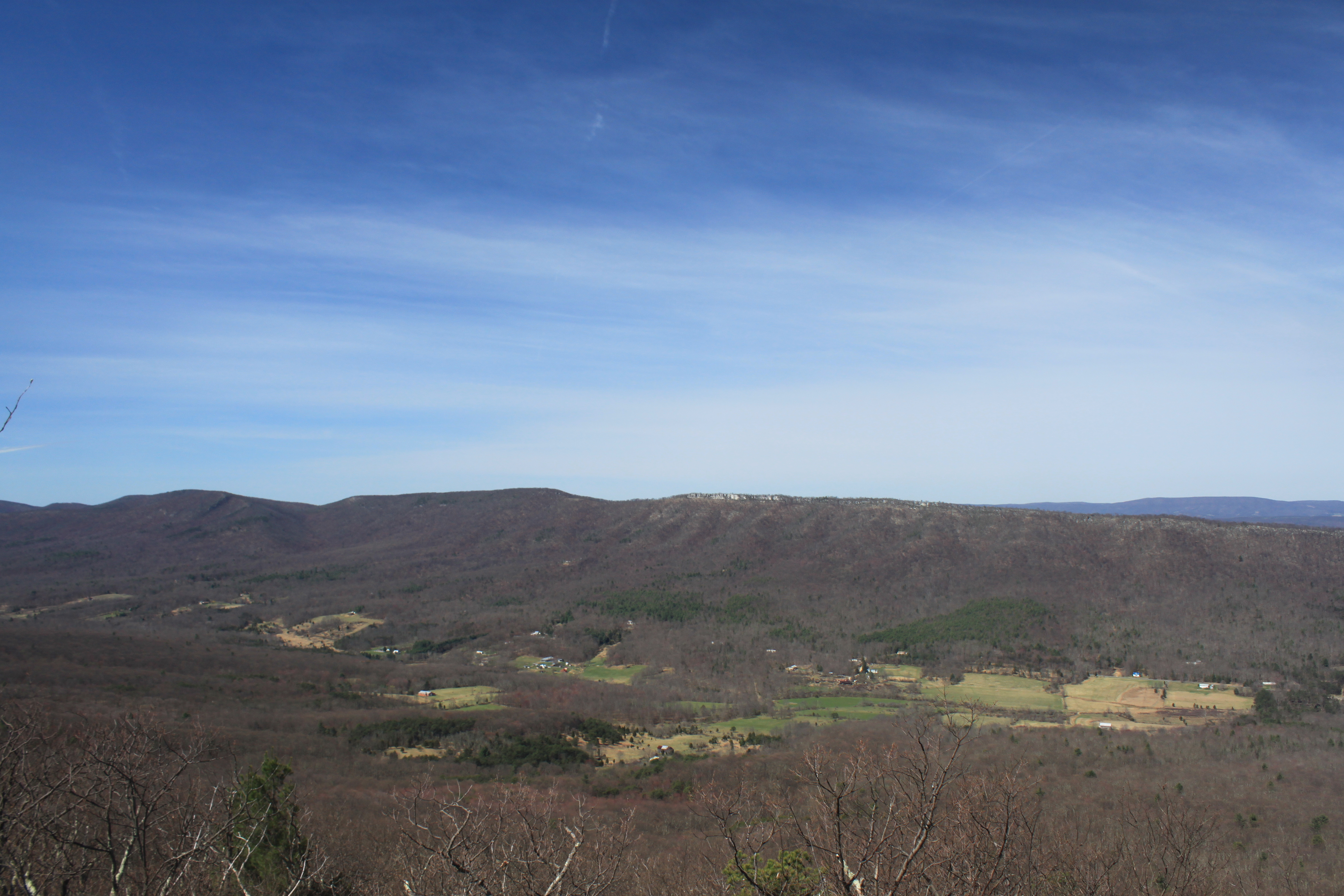
Big Schloss: Southeast view

Late Fall in George Washington Forest, Virginia

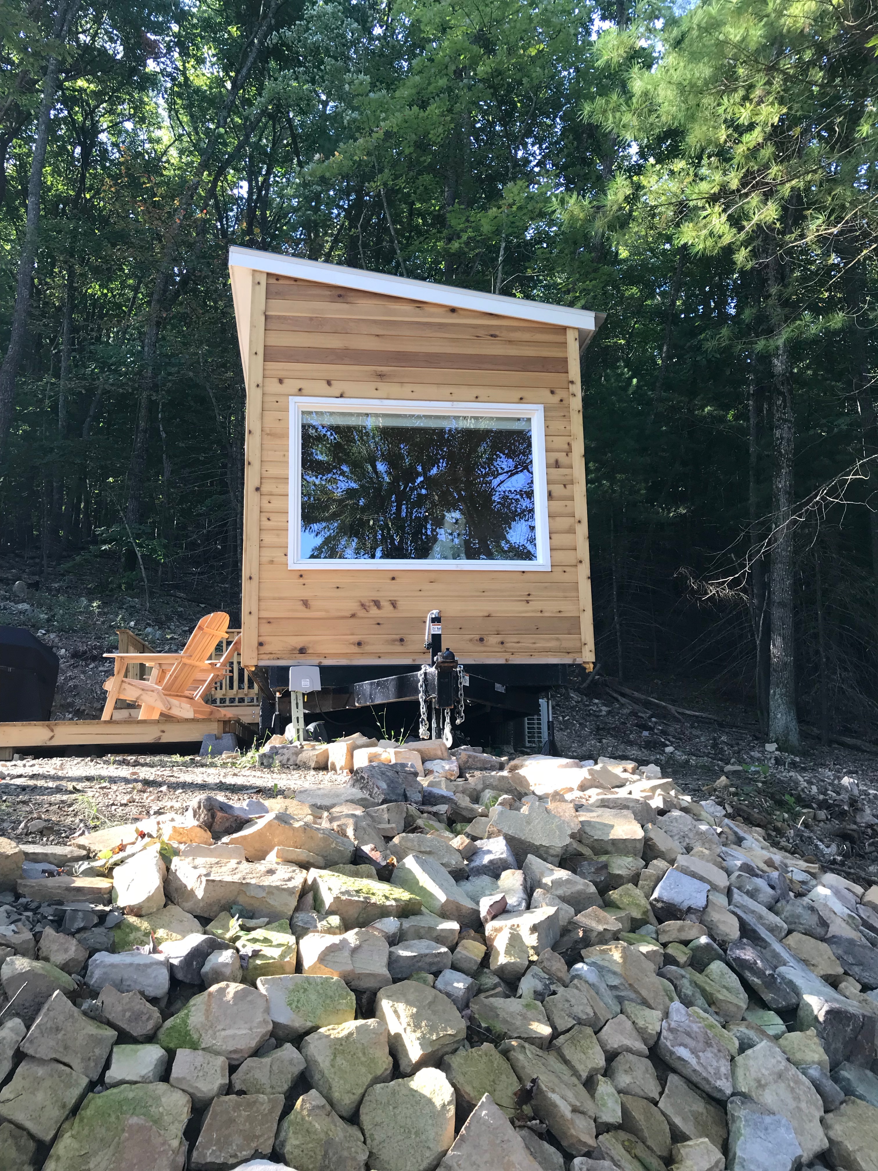
Mountain house view with grill
Trout Run Valley

taking in the cliff view

A walk in the woods

Clouds rolling through the gap

Photo Op

Moon Through Trees

Big Schloss
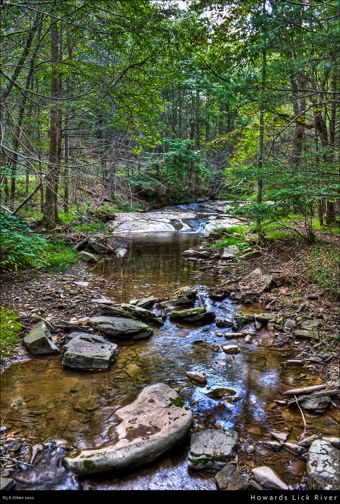
Howards Lick River
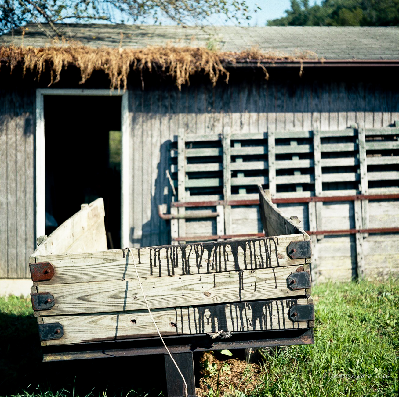
Camp Wagon. Columbia Furnace VA, August 2011

Kimsey Run Lake

Big Schloss

Kimsey Run Lake

Tibbet Knob: Sunset over Trout Run Valley

Trout Pond

Trout Pond
Topographic Map of Coyote Run, Mathias, WV, USA
Find elevation by address:

Places near Coyote Run, Mathias, WV, USA:
310 Coyote Run
2389 Middle Cove Run Rd
41 Middle Cove Run Rd, Mathias, WV, USA
Basore
251 Riffey Mountain Ln
758 Riffey Mountain Ln
419 Upper Cove Run Rd
419 Co Rte 20
WV-, Mathias, WV, USA
Lost City
6981 Wv-259
Mathias
55 Hunter Ln
Lost River
1012 Mill Gap Rd
Moonshine Hollow Road
Lost River
1250 Whispering Pines Way
646 Whispering Pines Way
1526 Howards Lick Rd
Recent Searches:
- Elevation of Corso Fratelli Cairoli, 35, Macerata MC, Italy
- Elevation of Tallevast Rd, Sarasota, FL, USA
- Elevation of 4th St E, Sonoma, CA, USA
- Elevation of Black Hollow Rd, Pennsdale, PA, USA
- Elevation of Oakland Ave, Williamsport, PA, USA
- Elevation of Pedrógão Grande, Portugal
- Elevation of Klee Dr, Martinsburg, WV, USA
- Elevation of Via Roma, Pieranica CR, Italy
- Elevation of Tavkvetili Mountain, Georgia
- Elevation of Hartfords Bluff Cir, Mt Pleasant, SC, USA