Elevation of Whispering Pines Way, Lost City, WV, USA

Location: United States > West Virginia > Hardy County > Lost River > Lost City >

Longitude: -78.782460

Latitude: 38.9610685

Elevation: 548m / 1798feet

Barometric Pressure: 95KPa

Elevation Map:

elevation map of Whispering Pines Way, Lost City, WV, USA

Satellite Map:

Satellite map of Whispering Pines Way, Lost City, WV, USA

Related Photos:

The view around the pond at Winchester Medical Center
DSC01435 027 View
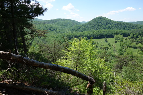
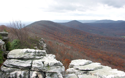
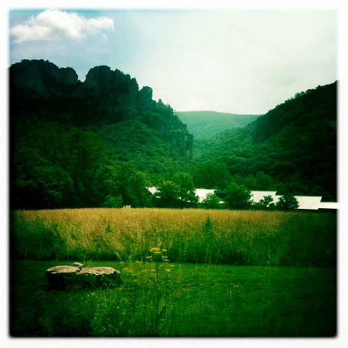
Big Schloss View 3
winter snow hiking maryland hike trail washingtonmonument appalachiantrail
View from Boonesboro Washington Monument
DSC01432 027 View
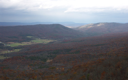
Big Schloss View 1
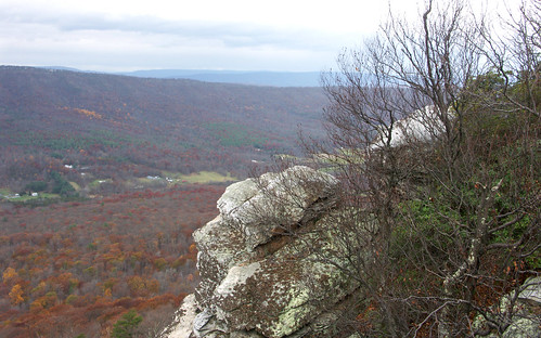
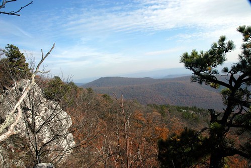
Big Schloss View 2
fall virginia hiking scouts bsa troop157
Ridge View
baker unitedstates westvirginia
catching the view while we stop to fix a flat
morning sky clouds landscape virginia spring view hike westvirginia shenandoahvalley georgewashingtonnationalforest
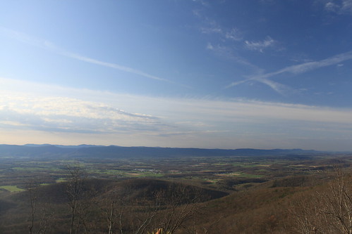
Shenandoah Valley morning
The view around the pond at Winchester Medical Center
Golden Eagle immature GBBC
The view around the pond at Winchester Medical Center
shenandoahvalley wolfgap
taking in the cliff view
The view around the pond at Winchester Medical Center
mountains forest sunrise virginia woods hiking va valley wilderness bigschloss georgewashingtonnationalforest wolfgap gwnf cameramypowershot
Sunrise Hike
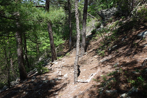
View from Big Schloss Trail
fall virginia hiking scouts bsa troop157
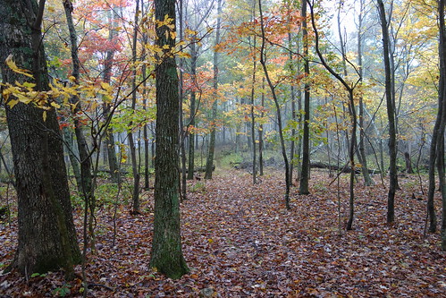
Late Fall in George Washington Forest, Virginia
The view around the pond at Winchester Medical Center
trees moon night lune virginia arbres va shenandoahvalley shenandoahcounty
Moon Through Trees
hiking bigschloss georgewashingtonnationalforest gwnf greatnorthmountain halfmoontrail tibbetknob halfmoonlookoutspurtrail troutrunvalleywv
trout run valley, wv
Camera Roll-263
Camera Roll-264
Clouds rolling through the gap
DSC00670 004 Jct Big Schloss Ctof and Mill Mtn Tr
DSC00672 004 Jct Big Schloss Ctof and Mill Mtn Tr
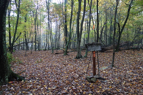
DSC00666 003 Big Schloss Ctof Tr sign
mountains forest unitedstates conservation science westvirginia watershed environment restoration partnership geocity geo:country=unitedstates camera:make=canon exif:make=canon camera:model=canoneos5dmarkii geostate exif:model=canoneos5dmarkii chesapeakebayprogram exif:aperture=ƒ56 exif:isospeed=100 exif:focallength=340mm issuesforests issuespage
Forested mountains in Hardy County, W.Va.
West VA 121001_120rs
DSC01391 018 Stream Xing
mountains forest unitedstates conservation science westvirginia watershed environment restoration partnership geocity geo:country=unitedstates camera:make=canon exif:make=canon camera:model=canoneos5dmarkii geostate exif:model=canoneos5dmarkii chesapeakebayprogram exif:lens=ef100400mmf4556lisusm exif:aperture=ƒ56 exif:isospeed=100 exif:focallength=400mm
Forested mountains in Hardy County, W.Va.
American Tree Sparrow
mountains forest unitedstates conservation science westvirginia watershed environment restoration partnership geocity geo:country=unitedstates camera:make=canon exif:make=canon camera:model=canoneos5dmarkii geostate exif:model=canoneos5dmarkii chesapeakebayprogram exif:lens=ef100400mmf4556lisusm exif:aperture=ƒ56 exif:isospeed=100 exif:focallength=330mm
Forested mountains in Hardy County, W.Va.
DSC00974 005 Utility Tr near Squirrel Gap Tr Old Rte 55
DSC01326 012 FR 1851 private land bndy
DSC01002 008 Blowdown
DSC01409 021 Bndy Private Land
DSC01371 013 Stream Xing