Elevation of Terra Alta School Road, Terra Alta School Rd, Lost River, WV, USA
Location: United States > West Virginia > Baker >
Longitude: -78.818319
Latitude: 39.0045453
Elevation: 591m / 1939feet
Barometric Pressure: 94KPa
Elevation Map:
Satellite Map:
Related Photos:

The view around the pond at Winchester Medical Center

The view around the pond at Winchester Medical Center
DSC01432 027 View

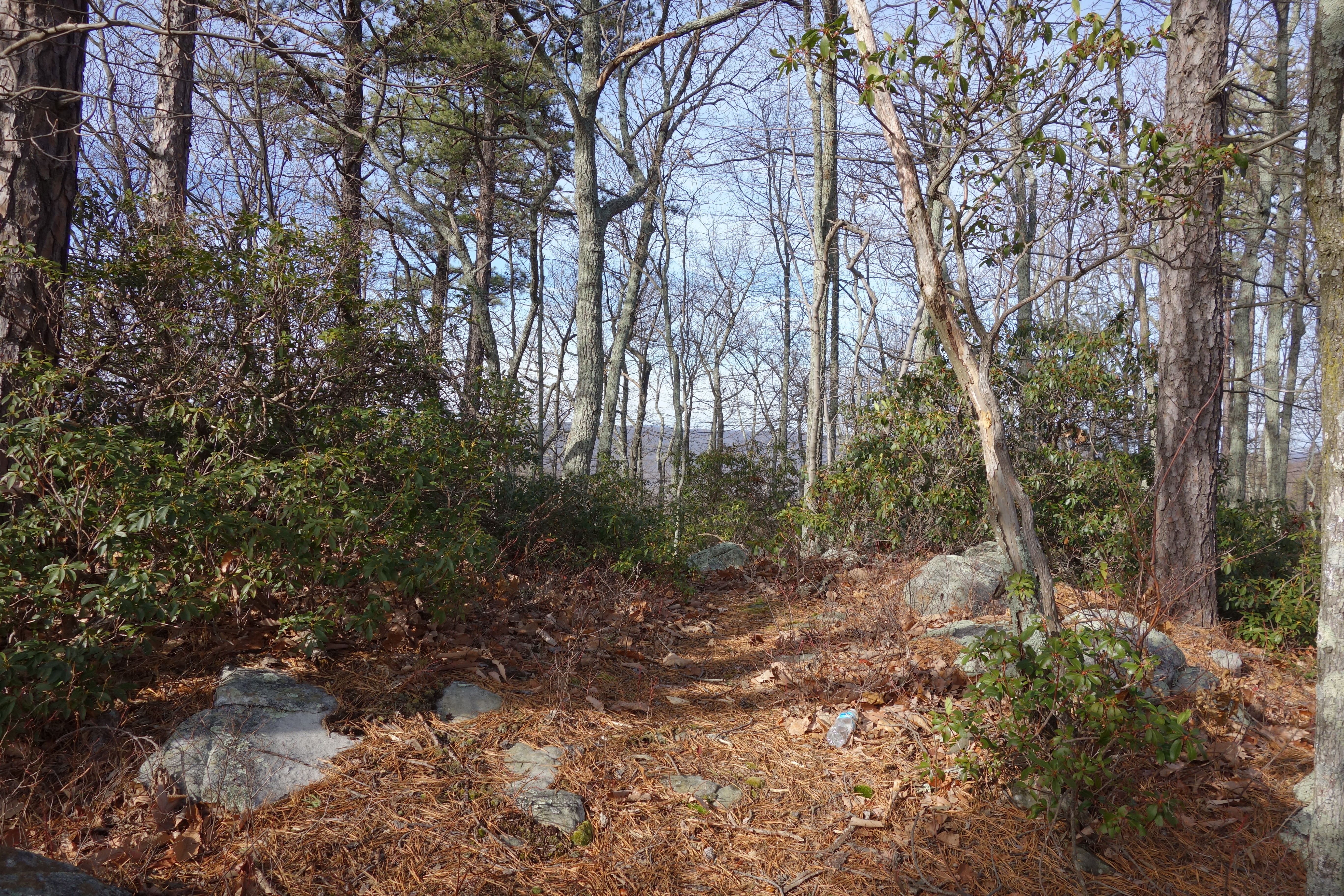
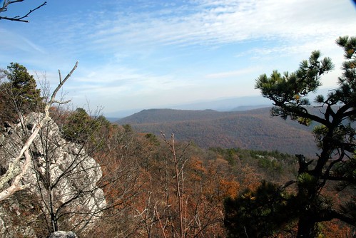
Mountain range view from Chimney Top
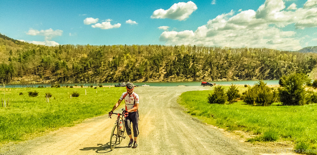
catching the view while we stop to fix a flat
Golden Eagle immature GBBC

The view around the pond at Winchester Medical Center

The view around the pond at Winchester Medical Center
DSC00997 006 Max Spitzer Overlook view
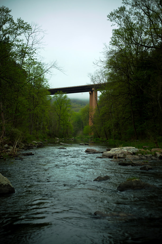
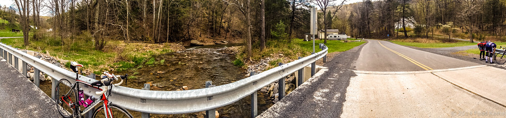
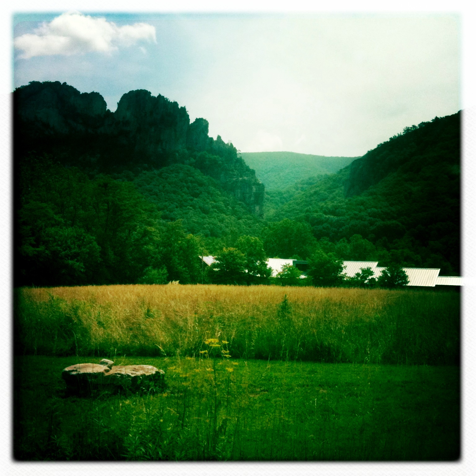
Lost River

DSC00996 006 Max Spitzer Overlook view

DSC01434 027 View
2016 Big Schloss (10)
DSC01435 027 View

DSC01431 027 View

The view around the pond at Winchester Medical Center

The view around the pond at Winchester Medical Center
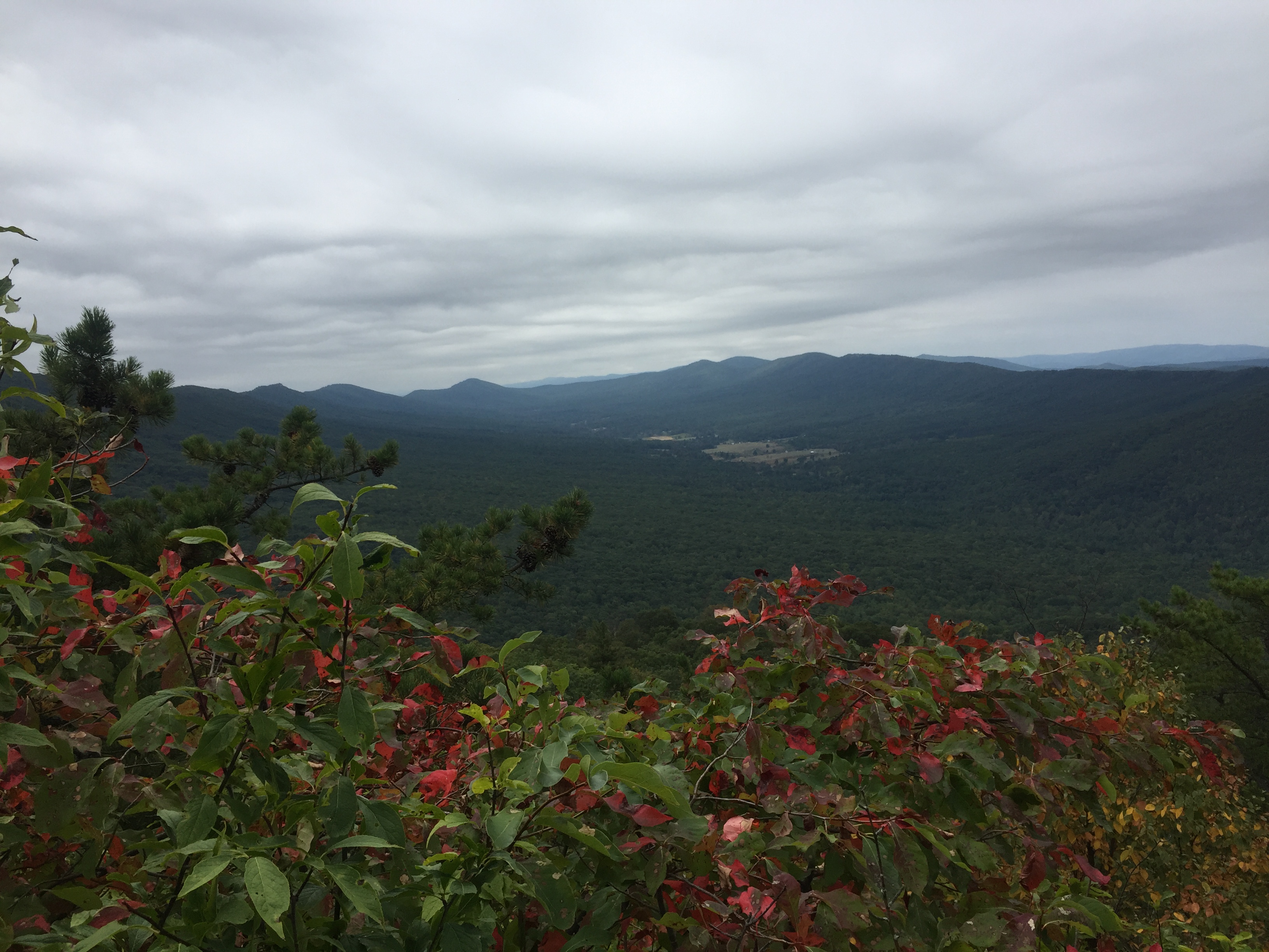
Mountain range view from Chimney Top
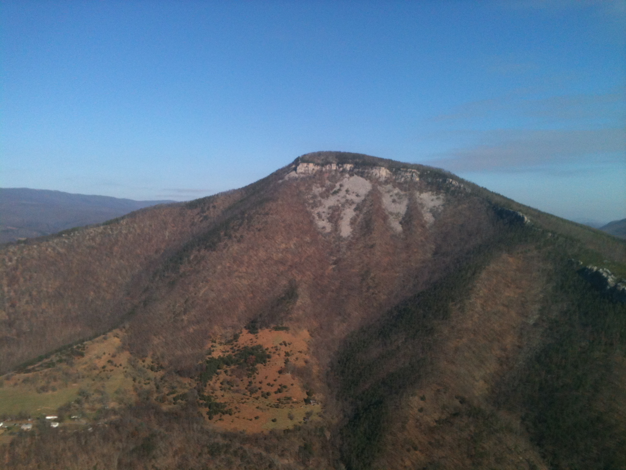
Big Schloss View 3
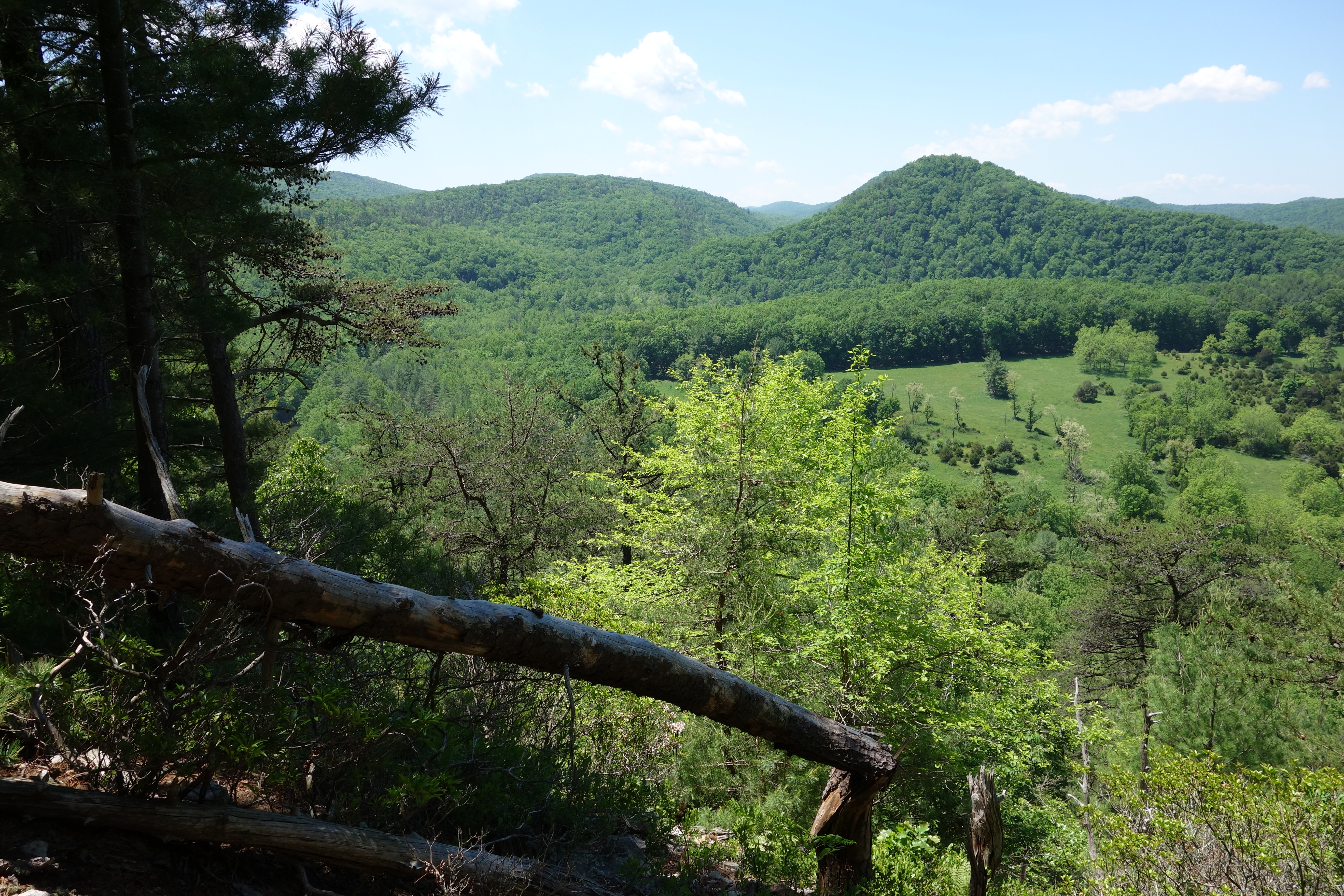
Ridge View
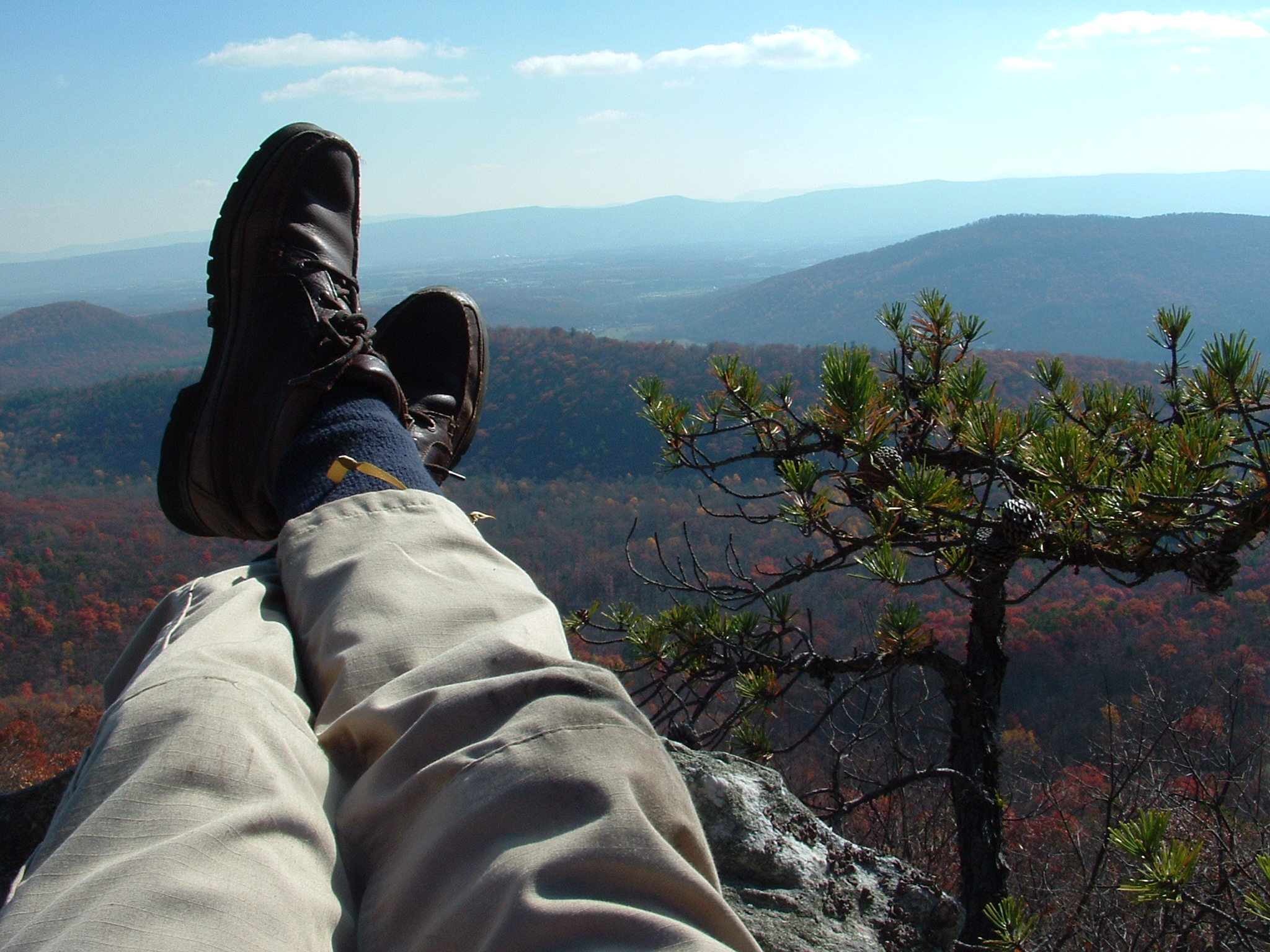
Relaxed on Tibbet Knob

trout run valley, wv
Camera Roll-264
Aesthetically freezing. ❄️

Clouds rolling through the gap
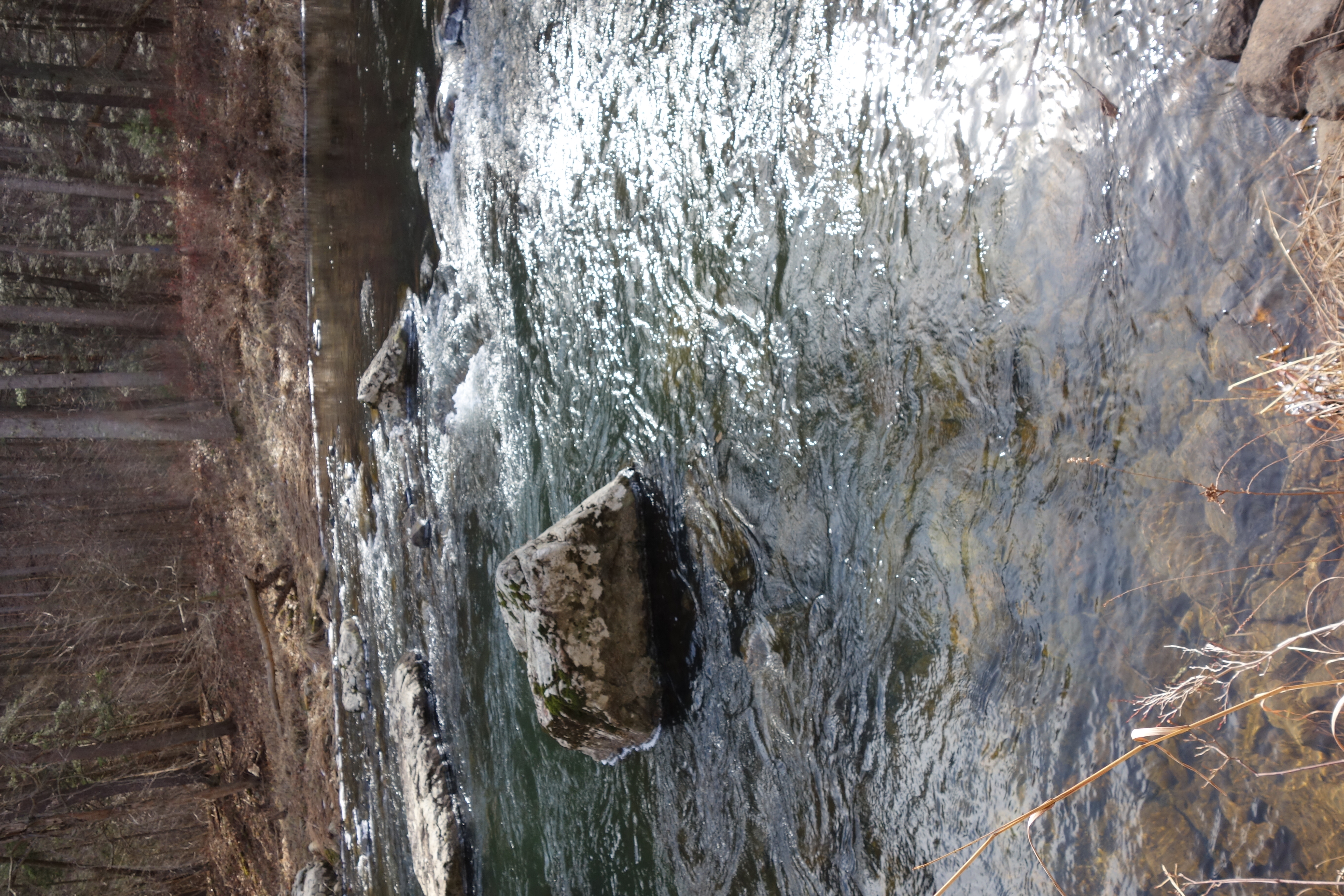
DSC01391 018 Stream Xing

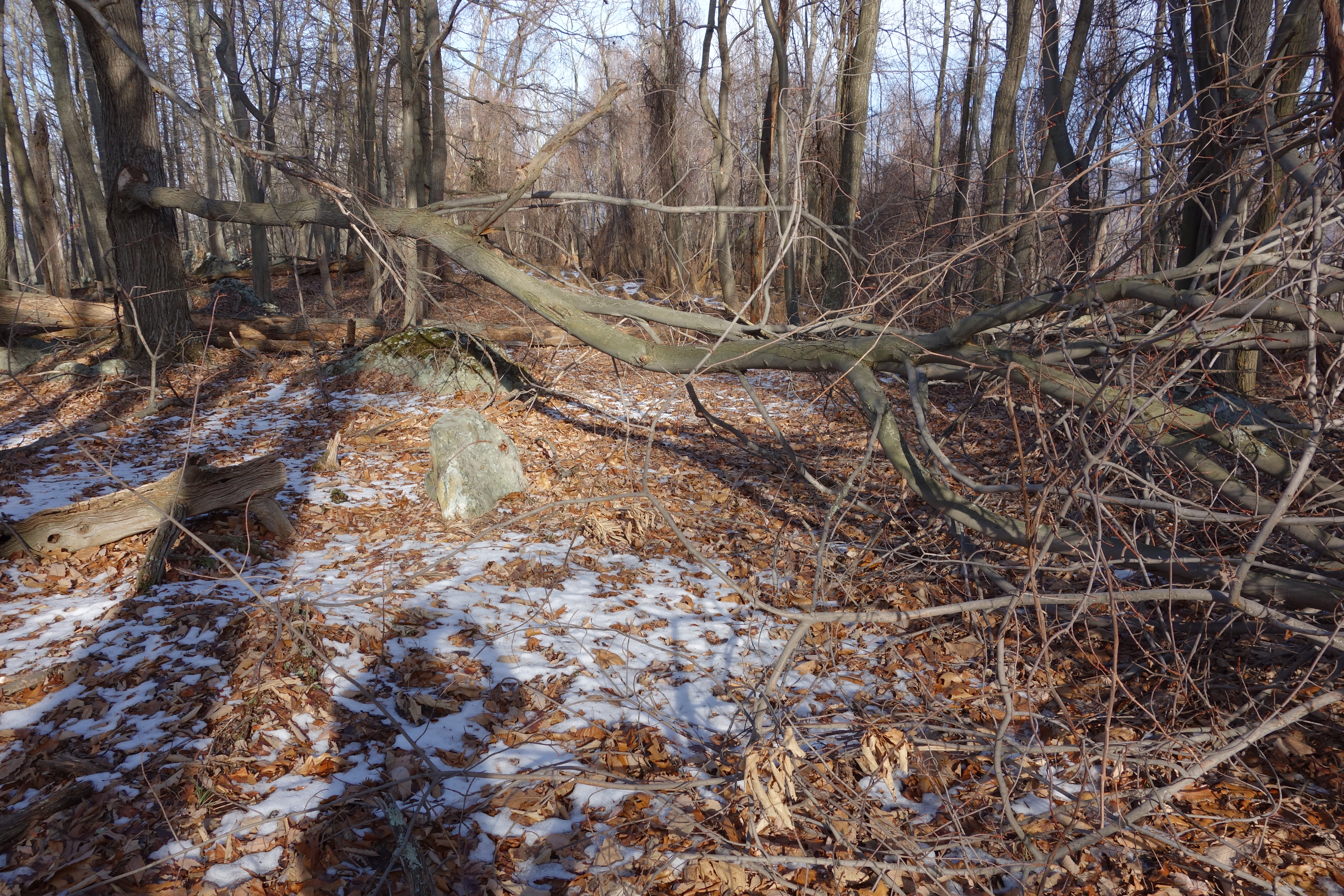
DSC01002 008 Blowdown

American Tree Sparrow
DSC01354 009 Stream Xing

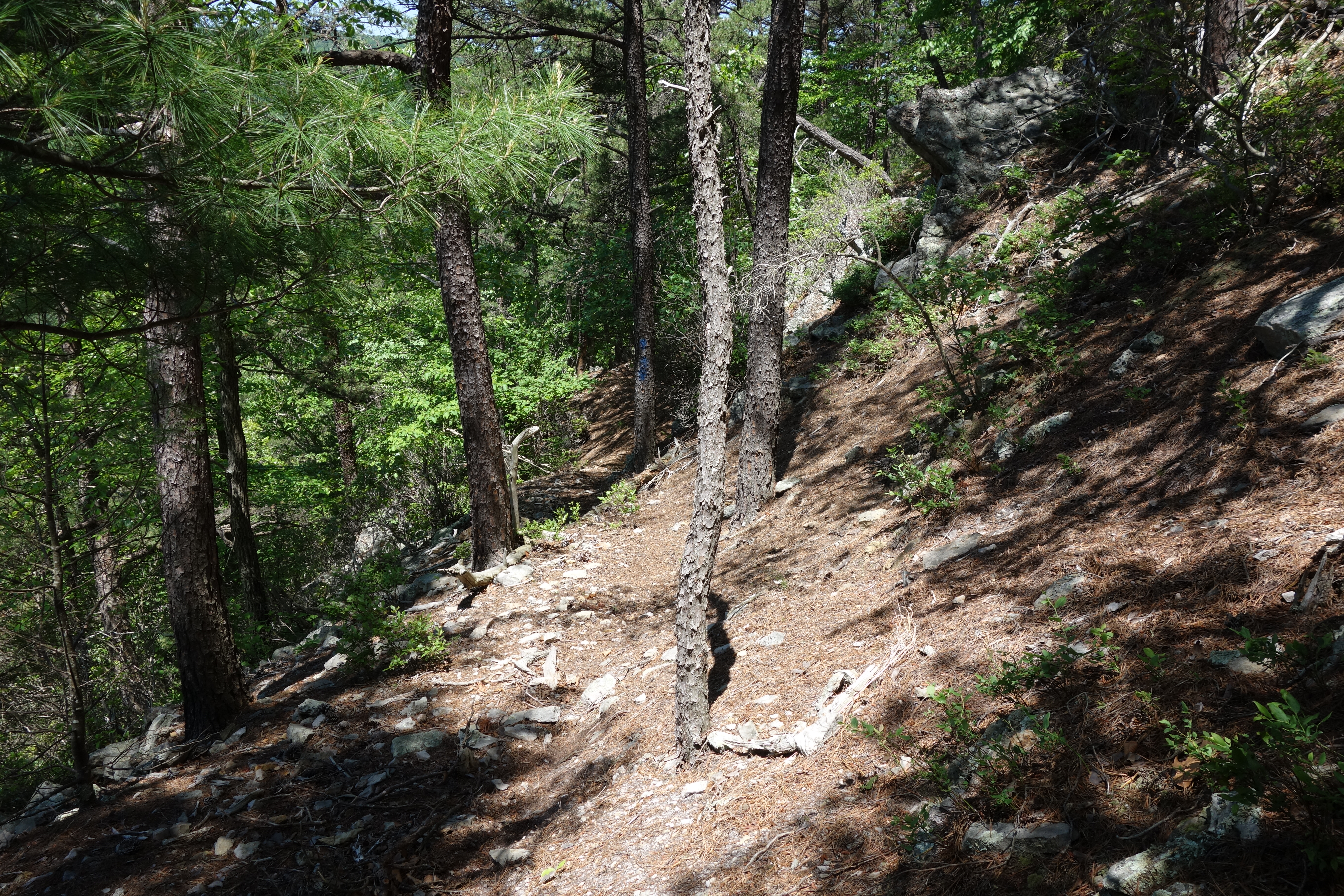
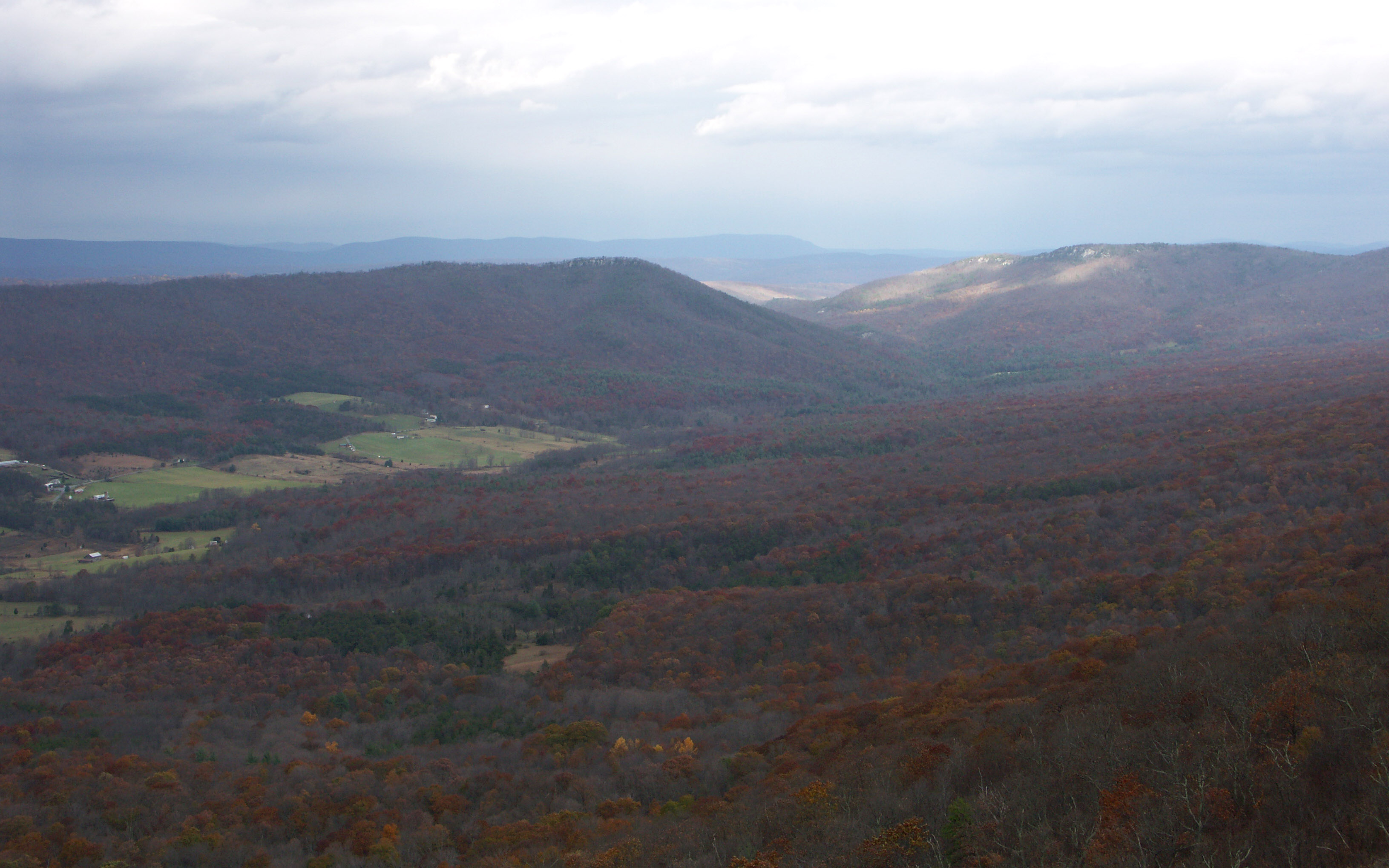
Forested mountains in Hardy County, W.Va.

Forested mountains in Hardy County, W.Va.

Forested mountains in Hardy County, W.Va.
halfmoon run
DSC01001 008 Blowdown
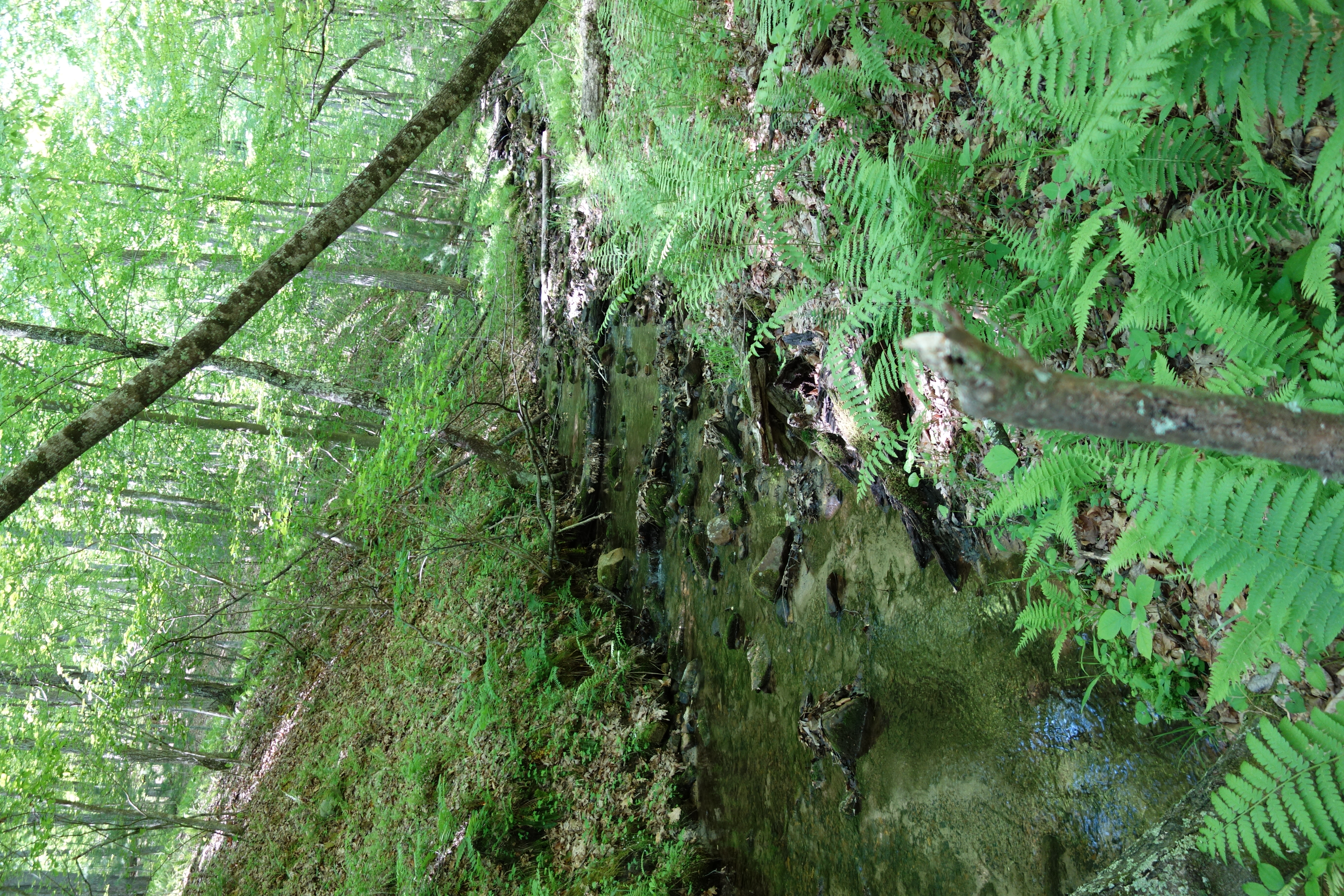
DSC01346 006 Stream Xing
Kimsey Run Lake

Moorefield, W.Va. Wastewater Treatment Plant 03
DSC00966 003 Jct Squirrel Gap Tr Lost River

House Wren

Forested mountains in Hardy County, W.Va.
Topographic Map of Terra Alta School Road, Terra Alta School Rd, Lost River, WV, USA
Find elevation by address:

Places near Terra Alta School Road, Terra Alta School Rd, Lost River, WV, USA:
Lost River
77 Toms Knob Approach
1250 Whispering Pines Way
646 Whispering Pines Way
848 Settlers Valley Way
848 Settlers Valley Way
1012 Mill Gap Rd
Moonshine Hollow Road
White Oak Pass
6981 Wv-259
Lost City
WV-, Mathias, WV, USA
758 Riffey Mountain Ln
High Rock Road
High Rock Road
251 Riffey Mountain Ln
Lost River
2389 Middle Cove Run Rd
263 Mountain Meadow Drive
263 Mountain Meadow
Recent Searches:
- Elevation of Corso Fratelli Cairoli, 35, Macerata MC, Italy
- Elevation of Tallevast Rd, Sarasota, FL, USA
- Elevation of 4th St E, Sonoma, CA, USA
- Elevation of Black Hollow Rd, Pennsdale, PA, USA
- Elevation of Oakland Ave, Williamsport, PA, USA
- Elevation of Pedrógão Grande, Portugal
- Elevation of Klee Dr, Martinsburg, WV, USA
- Elevation of Via Roma, Pieranica CR, Italy
- Elevation of Tavkvetili Mountain, Georgia
- Elevation of Hartfords Bluff Cir, Mt Pleasant, SC, USA