Elevation of Mountain Meadow Drive, Mathias, WV, USA

Location: United States > West Virginia > Hardy County > Lost River > Mathias >

Longitude: -78.929119

Latitude: 38.9529039

Elevation: 787m / 2582feet

Barometric Pressure: 92KPa

Elevation Map:

elevation map of Mountain Meadow Drive, Mathias, WV, USA

Satellite Map:

Satellite map of Mountain Meadow Drive, Mathias, WV, USA

Related Photos:

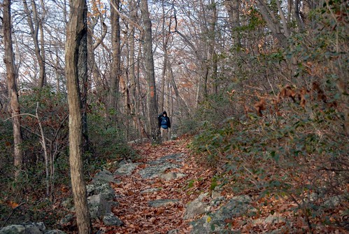
fall virginia hiking scouts bsa troop157
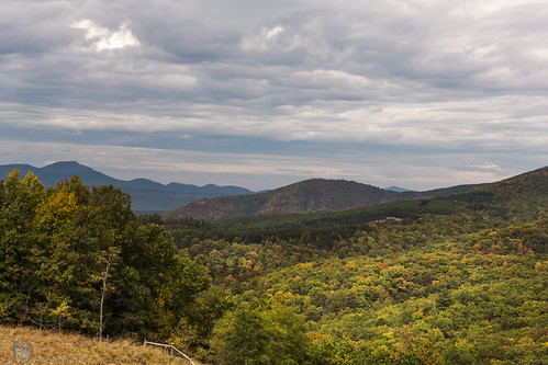
Late Fall in George Washington Forest, Virginia
The view around the pond at Winchester Medical Center
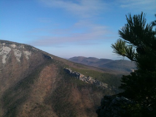
Mountain range view from Chimney Top
baker unitedstates westvirginia
catching the view while we stop to fix a flat
The view around the pond at Winchester Medical Center
Mountain range view from Chimney Top
mountains westvirginia fallfoliage autumn nature moorefield unitedstates us
Appalachian Autumn
trees moon night lune virginia arbres va shenandoahvalley shenandoahcounty
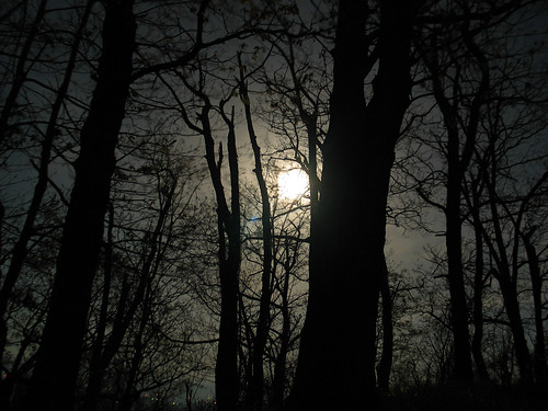
Moon Through Trees
chesapeakebayprogram habitats nature westvirginia environment forests mountains woods unitedstates camera:model=canoneos5dmarkii camera:make=canon exif:isospeed=100 geostate exif:model=canoneos5dmarkii exif:aperture=ƒ56 exif:focallength=330mm geo:country=unitedstates geocity exif:lens=ef100400mmf4556lisusm exif:make=canon
Forested mountains in Hardy County, W.Va.
chesapeakebayprogram habitats nature westvirginia environment forests issuesforests mountains woods unitedstates exif:focallength=340mm camera:model=canoneos5dmarkii camera:make=canon exif:isospeed=100 geostate exif:model=canoneos5dmarkii exif:aperture=ƒ56 geo:country=unitedstates geocity exif:make=canon
Forested mountains in Hardy County, W.Va.
chesapeakebayprogram habitats nature westvirginia environment forests mountains woods unitedstates camera:model=canoneos5dmarkii camera:make=canon exif:isospeed=100 geostate exif:model=canoneos5dmarkii exif:aperture=ƒ56 geo:country=unitedstates geocity exif:focallength=400mm exif:lens=ef100400mmf4556lisusm exif:make=canon
Forested mountains in Hardy County, W.Va.
Clouds rolling through the gap
West VA 121001_120rs
West VA 121001_103 pan s
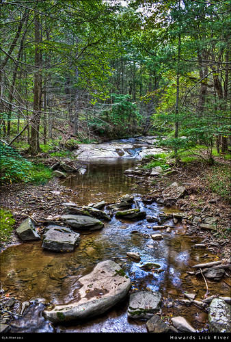
water rural forest river rocks stream country lick westvirginia hdr highdynamicrange howards lostriverstatepark canont1i countyroute12
Howards Lick River
moss spring photoblog2009
20090307-_MG_9667
baker unitedstates westvirginia
Kimsey Run Lake
fall virginia hiking scouts bsa troop157
Fall Scout backpack
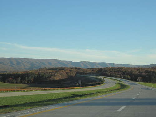
usa unitedstates meadow westvirginia fisher corridorh us48
Corridor H
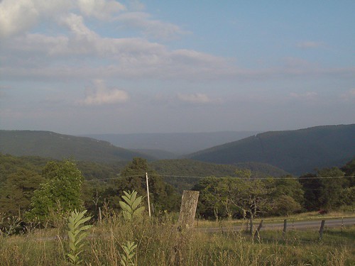
mountains westvirginia flickrexport2demo
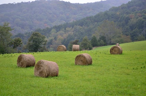
Mountains above farm
mountains rock petersburg wv westvirginia formations morefield
Baker Rocks
mountain lake geotagged westvirginia geolat38956405 geolon7881772
DSC07161.JPG