Elevation of South Fork, WV, USA

Location: United States > West Virginia > Hardy County >

Longitude: -78.996688

Latitude: 38.9450232

Elevation: 309m / 1014feet

Barometric Pressure: 98KPa

Elevation Map:

elevation map of South Fork, WV, USA

Satellite Map:

Satellite map of South Fork, WV, USA

Related Photos:

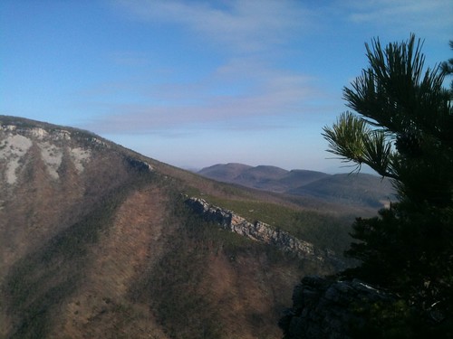
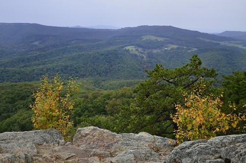
Mountain range view from Chimney Top
baker unitedstates westvirginia
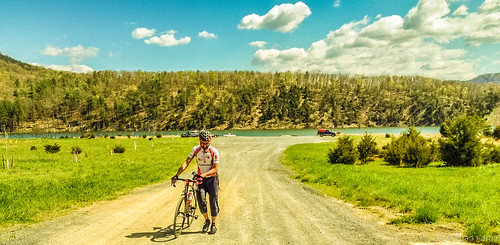
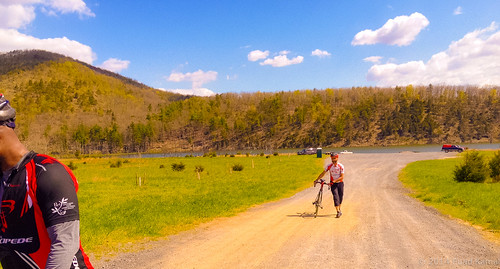
catching the view while we stop to fix a flat
sky snow clouds river geotagged horizon wing aerial westvirginia airborne windowframe continentalairlines southbranchpotomacriver geo:lat=38967551 geo:lon=79029636
South Branch Potomac River
Mountain range view from Chimney Top
Lost River State Park WV - 2016-03-26 (184) - Virginia View Trail
Lost River State Park WV - 2016-03-26 (176) - Virginia View Trail
autostitch panorama canon geotagged is westvirginia geotag efs 2012 forthill f3556 18135mm 60d
Fort Hill View
Lost River State Park WV - 2016-03-26 (177) - Virginia View Trail
mountains forest unitedstates conservation science westvirginia watershed environment restoration partnership geocity geo:country=unitedstates camera:make=canon exif:make=canon camera:model=canoneos5dmarkii geostate exif:model=canoneos5dmarkii chesapeakebayprogram exif:aperture=ƒ56 exif:isospeed=100 exif:focallength=340mm issuesforests issuespage
Forested mountains in Hardy County, W.Va.
West VA 121001_120rs
mountains forest unitedstates conservation science westvirginia watershed environment restoration partnership geocity geo:country=unitedstates camera:make=canon exif:make=canon camera:model=canoneos5dmarkii geostate exif:model=canoneos5dmarkii chesapeakebayprogram exif:lens=ef100400mmf4556lisusm exif:aperture=ƒ56 exif:isospeed=100 exif:focallength=400mm
Forested mountains in Hardy County, W.Va.
mountains forest unitedstates conservation science westvirginia watershed environment restoration partnership geocity geo:country=unitedstates camera:make=canon exif:make=canon camera:model=canoneos5dmarkii geostate exif:model=canoneos5dmarkii chesapeakebayprogram exif:lens=ef100400mmf4556lisusm exif:aperture=ƒ56 exif:isospeed=100 exif:focallength=330mm
Forested mountains in Hardy County, W.Va.
mountains westvirginia flickrexport2demo
PDRM0570.JPG
West VA 121001_103 pan s
baker unitedstates westvirginia
Kimsey Run Lake
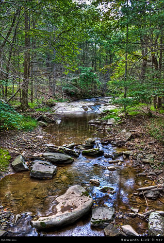
water rural forest river rocks stream country lick westvirginia hdr highdynamicrange howards lostriverstatepark canont1i countyroute12
Howards Lick River
West VA 121001_084rs
moss spring photoblog2009
20090307-_MG_9669
Lost River State Park WV - 2016-03-26 (15) - White Oak Trail
moss spring photoblog2009
Moss at Lost River State Park
moss spring photoblog2009
20090307-_MG_9667
baker unitedstates westvirginia
Kimsey Run Lake
mountains westvirginia flickrexport2demo
Field on top of the mountains
mountains westvirginia flickrexport2demo
Mountains above farm
uploaded:by=flickrmobile flickriosapp:filter=nofilter
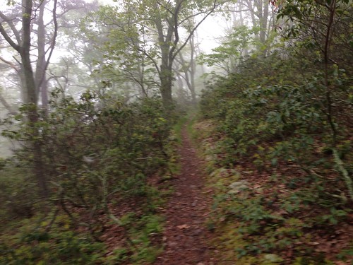
Lost River Trails