Elevation of Shenandoah Mountain Road, Shenandoah Mountain Rd, West Virginia, USA
Location: United States > West Virginia > Hardy County > Lost River > Mathias >
Longitude: -78.975206
Latitude: 38.8649859
Elevation: 823m / 2700feet
Barometric Pressure: 92KPa
Elevation Map:
Satellite Map:
Related Photos:

South Branch Potomac River
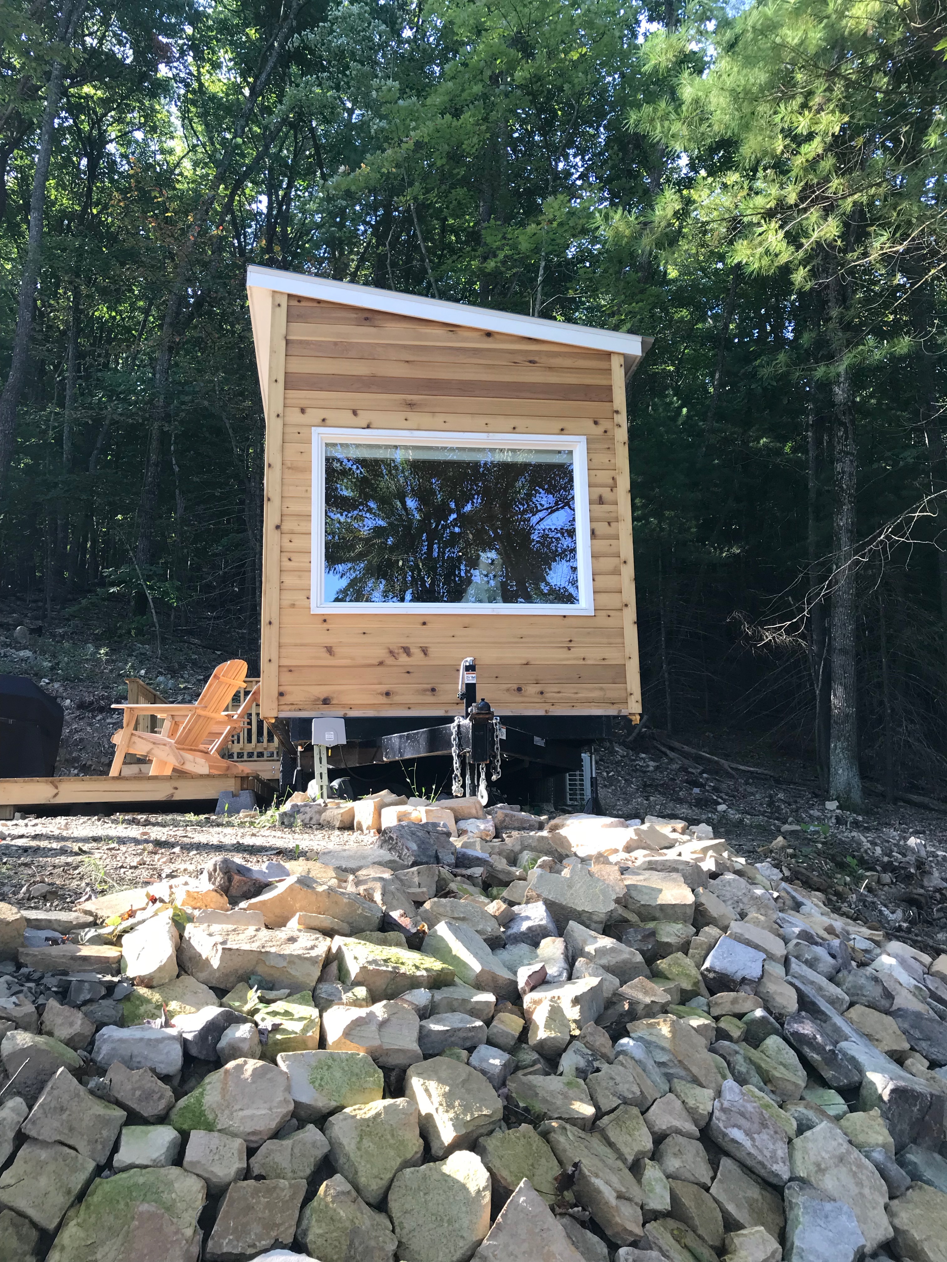
Window view of mobile home

View from Lost Rivers

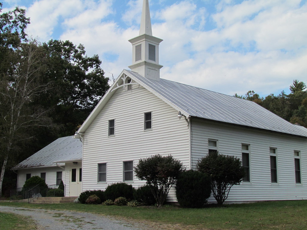
Valley View Mennonite Church, Criders, Virginia, 1993
Valley View Mennonite Church Criders Virginia 2012

Valley View Mennonite Church Criders Virginia 2012 (1880)

Valley View Mennonite Church Criders Virginia 2012
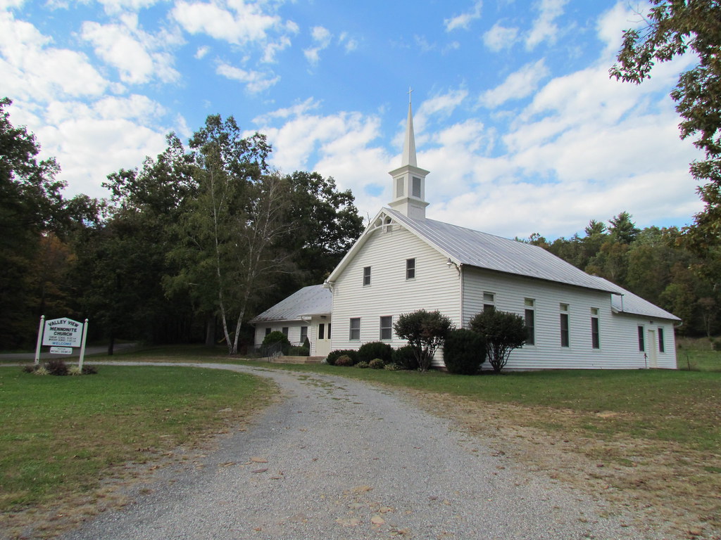
Valley View Mennonite Church Criders Virginia 2012

Valley View Mennonite Church Criders Virginia 2012
P3285605 06 Jct View Looking at Social Short Cut
P3285613 08 Jct View Looking Back at Church Rock Tr

P3285603 06 Jct View Looking Back

DSC01175 003 View Great North Mtn facing north
P3295623 10 Church Rock View Left

P3285609 08 Jct View Looking Back

P3285610 08 Jct View Looking Left

P3285615 08 Jct View Church Rock Tr

DSC01174 003 View Great North Mtn facing northeast
P3285611 08 Jct View Looking Right

P3285614 08 Jct View Overlook Tr

P3295621 10 Church Rock View

Moon Through Trees
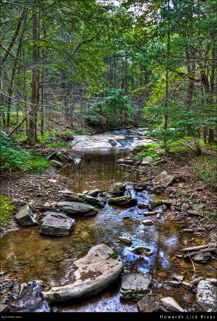
Howards Lick River

Zion Methodist Church, Milam, WV

20090307-_MG_9667

Baker Rocks

20090307-_MG_9669

Moss at Lost River State Park

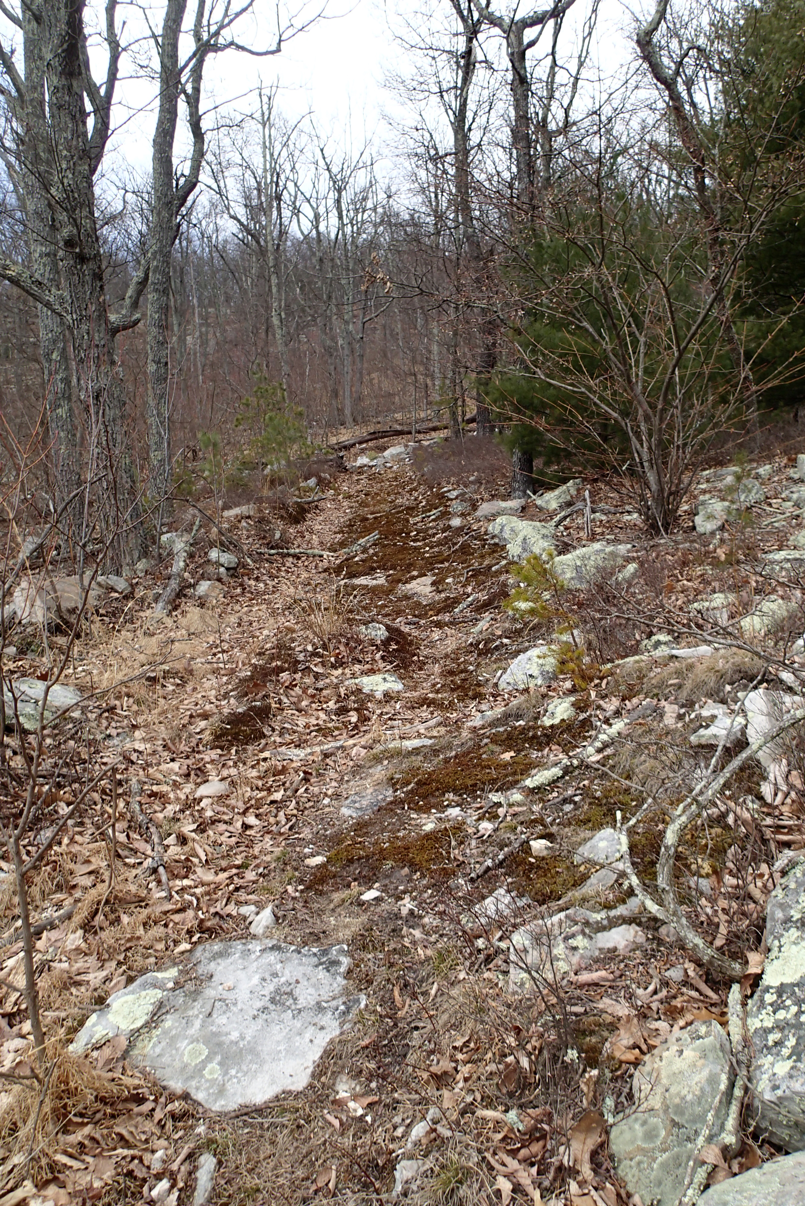
Lost River Trails

2009 Parish Rereat-17

DSC01172 002 Jct Hunkerson Gap Tr facing north

Toad, Highland Retreat, Bergton, Virginia

West VA 121001_103 pan s
West VA 121001_120rs

Toad, Highland Retreat, Bergton, Virginia

West VA 121001_084rs

DSC01166 001 Great North Mtn ridgeline facing south

100_3343.jpg

Shrine Mont

West VA 121001_070s
Topographic Map of Shenandoah Mountain Road, Shenandoah Mountain Rd, West Virginia, USA
Find elevation by address:

Places near Shenandoah Mountain Road, Shenandoah Mountain Rd, West Virginia, USA:
2031 Cullers Run Rd
Lost River State Park
977 E Ridge Rd
South Fork
South Fork
111 Hunting Ridge Rd
1526 Howards Lick Rd
444 Hunting Ridge Rd
263 Mountain Meadow
263 Mountain Meadow
263 Mountain Meadow Drive
Lost River
55 Hunter Ln
Mathias
419 Upper Cove Run Rd
419 Co Rte 20
Moorefield, WV, USA
High Rock Road
High Rock Road
Basore
Recent Searches:
- Elevation of Corso Fratelli Cairoli, 35, Macerata MC, Italy
- Elevation of Tallevast Rd, Sarasota, FL, USA
- Elevation of 4th St E, Sonoma, CA, USA
- Elevation of Black Hollow Rd, Pennsdale, PA, USA
- Elevation of Oakland Ave, Williamsport, PA, USA
- Elevation of Pedrógão Grande, Portugal
- Elevation of Klee Dr, Martinsburg, WV, USA
- Elevation of Via Roma, Pieranica CR, Italy
- Elevation of Tavkvetili Mountain, Georgia
- Elevation of Hartfords Bluff Cir, Mt Pleasant, SC, USA