Elevation of High Rock Road, High Rock Rd, Lost River, WV, USA
Location: United States > West Virginia > Baker >
Longitude: -78.901417
Latitude: 38.9814151
Elevation: 780m / 2559feet
Barometric Pressure: 92KPa
Elevation Map:
Satellite Map:
Related Photos:
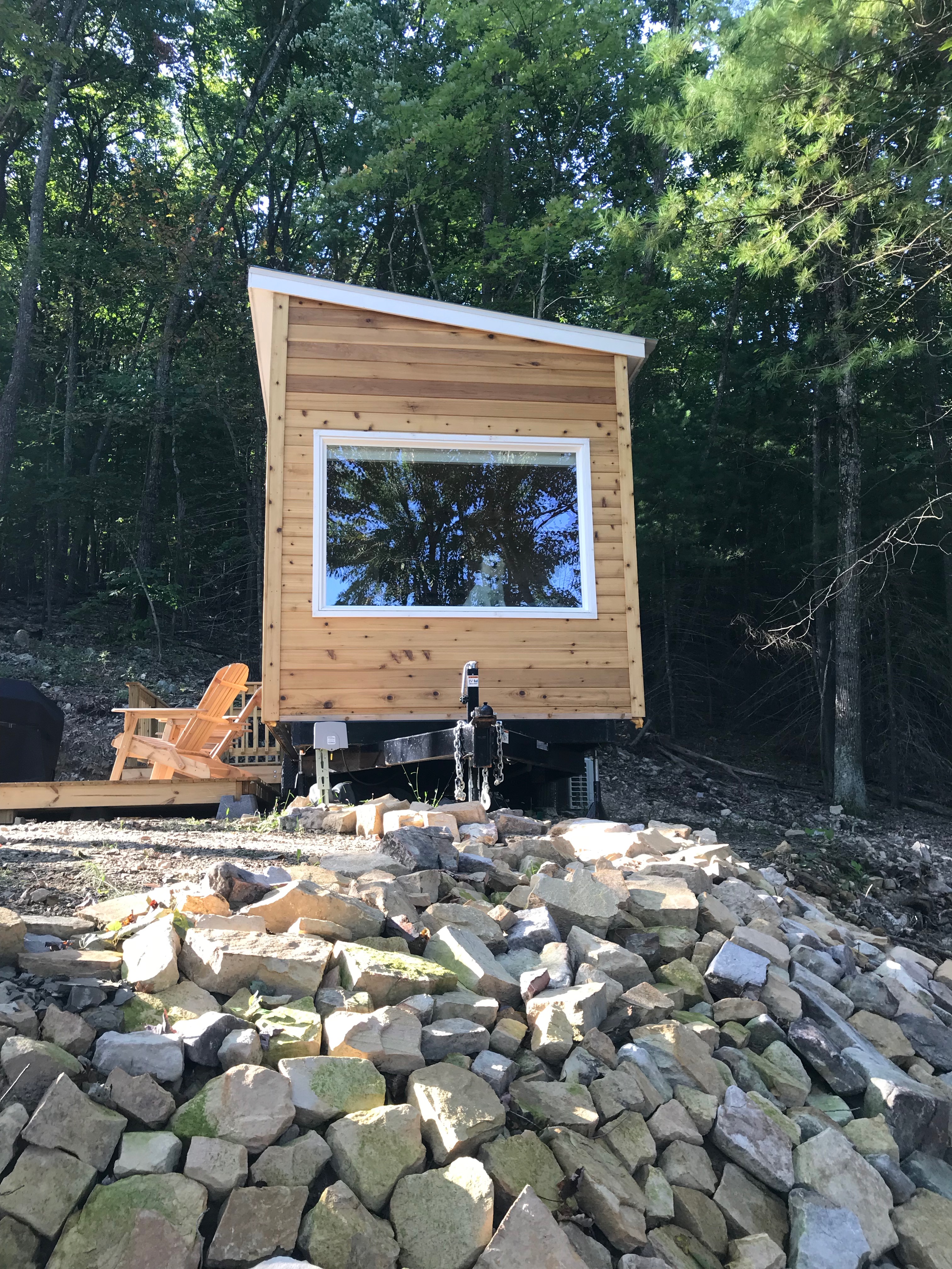
Window view of mobile home

View from Lost Rivers

The view around the pond at Winchester Medical Center

The view around the pond at Winchester Medical Center

The view around the pond at Winchester Medical Center

South Branch Potomac River

catching the view while we stop to fix a flat
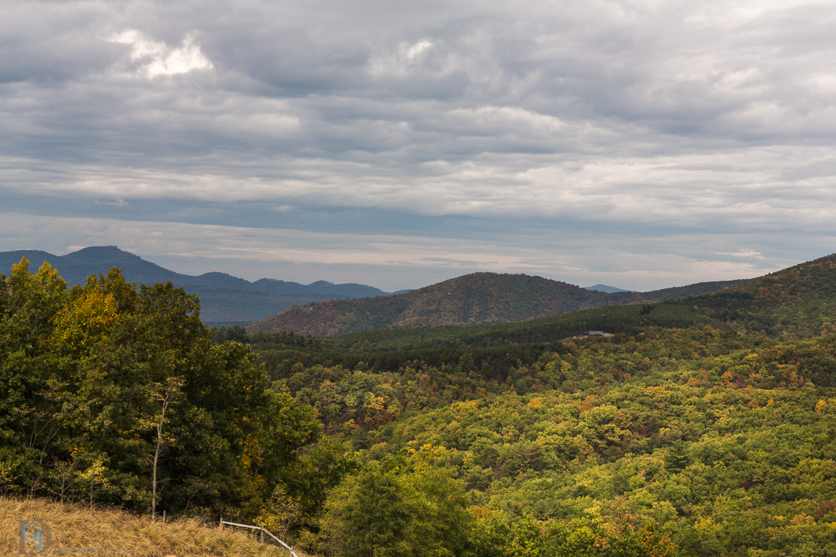
Appalachian Autumn

The view around the pond at Winchester Medical Center

The view around the pond at Winchester Medical Center

The view around the pond at Winchester Medical Center

The view around the pond at Winchester Medical Center

Late Fall in George Washington Forest, Virginia

Distant view of Bryce Mountain Resort
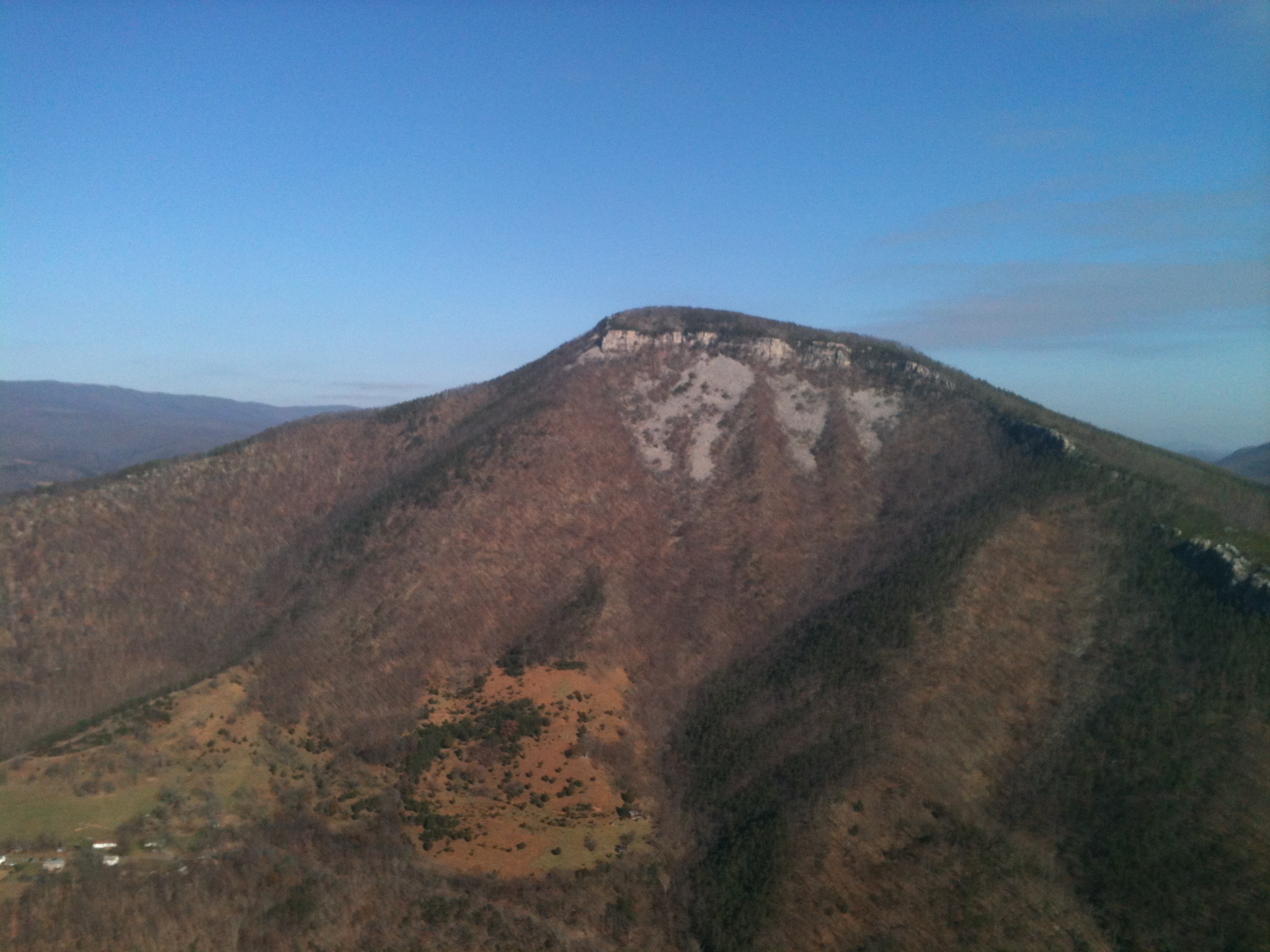
Mountain range view from Chimney Top

Mountain range view from Chimney Top

Ridge View

Moon Through Trees

Red hill landscape

Sunset At 10 Feet

Scenic Overlook

Clouds rolling through the gap

Forested mountains in Hardy County, W.Va.

Forested mountains in Hardy County, W.Va.

Forested mountains in Hardy County, W.Va.

Forested mountains in Hardy County, W.Va.

Forested mountains in Hardy County, W.Va.
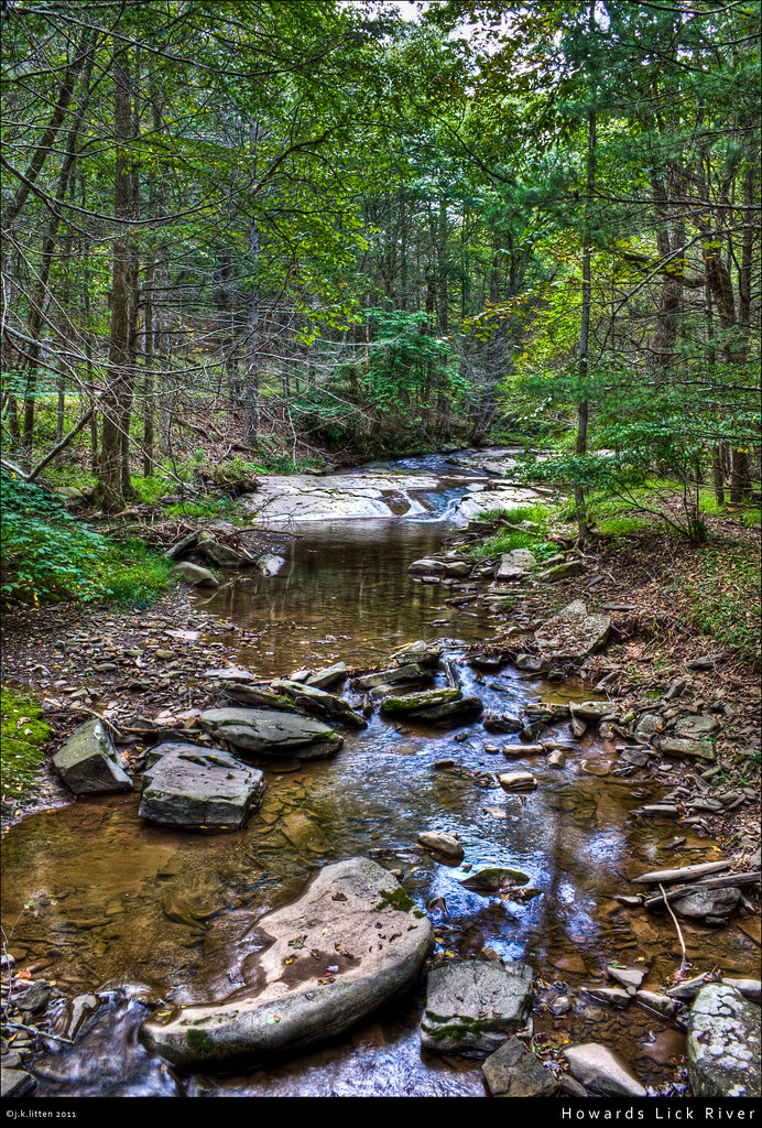
Howards Lick River

Grain silo in Hardy County, W.Va.

Kimsey Run Lake

Kimsey Run Lake

Sunset in Hardy County, W.Va.

Trout Pond

Trout Pond

Clifford Hollow Bridge Image 4 11-6-2004 Photo

Corridor H near Moorefield, WV
Topographic Map of High Rock Road, High Rock Rd, Lost River, WV, USA
Find elevation by address:

Places near High Rock Road, High Rock Rd, Lost River, WV, USA:
High Rock Road
White Oak Pass
263 Mountain Meadow Drive
263 Mountain Meadow
263 Mountain Meadow
444 Hunting Ridge Rd
111 Hunting Ridge Rd
Lost River
Lost City
WV-, Mathias, WV, USA
6981 Wv-259
Terra Alta School Road
Lost River State Park
55 Hunter Ln
Moorefield, WV, USA
Lost River
1526 Howards Lick Rd
South Fork
South Fork
4377 Us Hwy 220
Recent Searches:
- Elevation of Corso Fratelli Cairoli, 35, Macerata MC, Italy
- Elevation of Tallevast Rd, Sarasota, FL, USA
- Elevation of 4th St E, Sonoma, CA, USA
- Elevation of Black Hollow Rd, Pennsdale, PA, USA
- Elevation of Oakland Ave, Williamsport, PA, USA
- Elevation of Pedrógão Grande, Portugal
- Elevation of Klee Dr, Martinsburg, WV, USA
- Elevation of Via Roma, Pieranica CR, Italy
- Elevation of Tavkvetili Mountain, Georgia
- Elevation of Hartfords Bluff Cir, Mt Pleasant, SC, USA