Elevation of E Ridge Rd, Mathias, WV, USA
Location: United States > West Virginia > Hardy County > Lost River > Mathias >
Longitude: -78.912171
Latitude: 38.8657807
Elevation: 629m / 2064feet
Barometric Pressure: 94KPa
Elevation Map:
Satellite Map:
Related Photos:
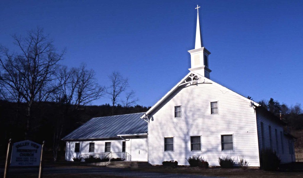
Valley View Mennonite Church, Criders, Virginia, 1993
South Branch Potomac River
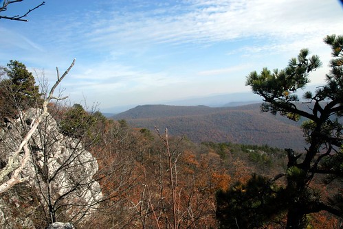
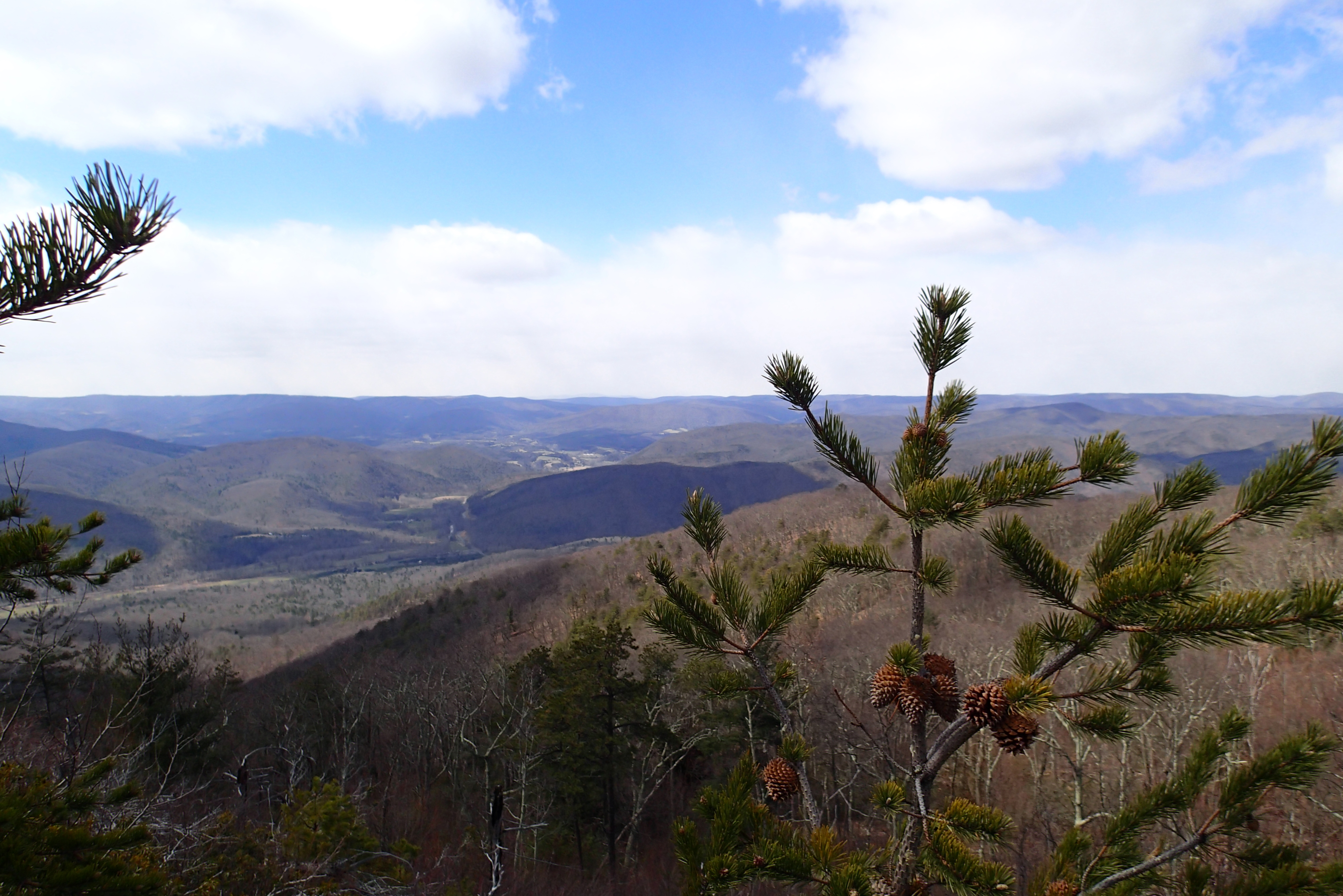
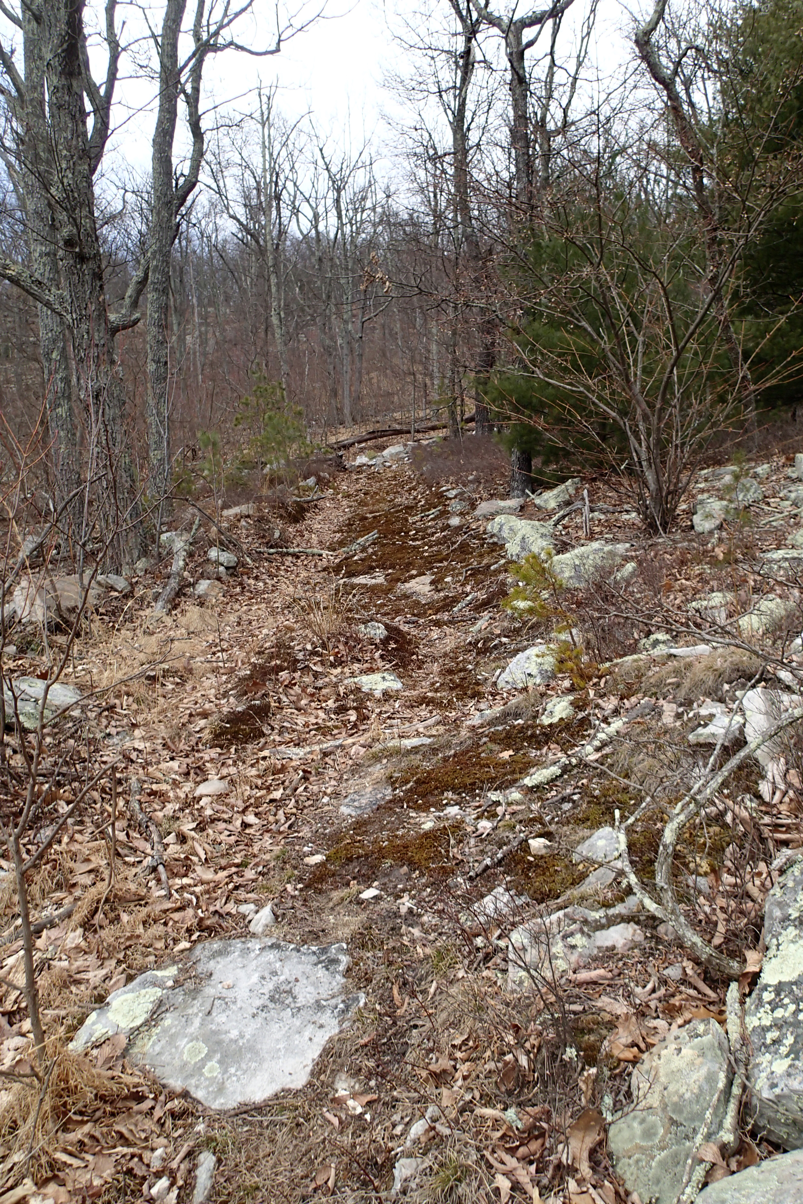
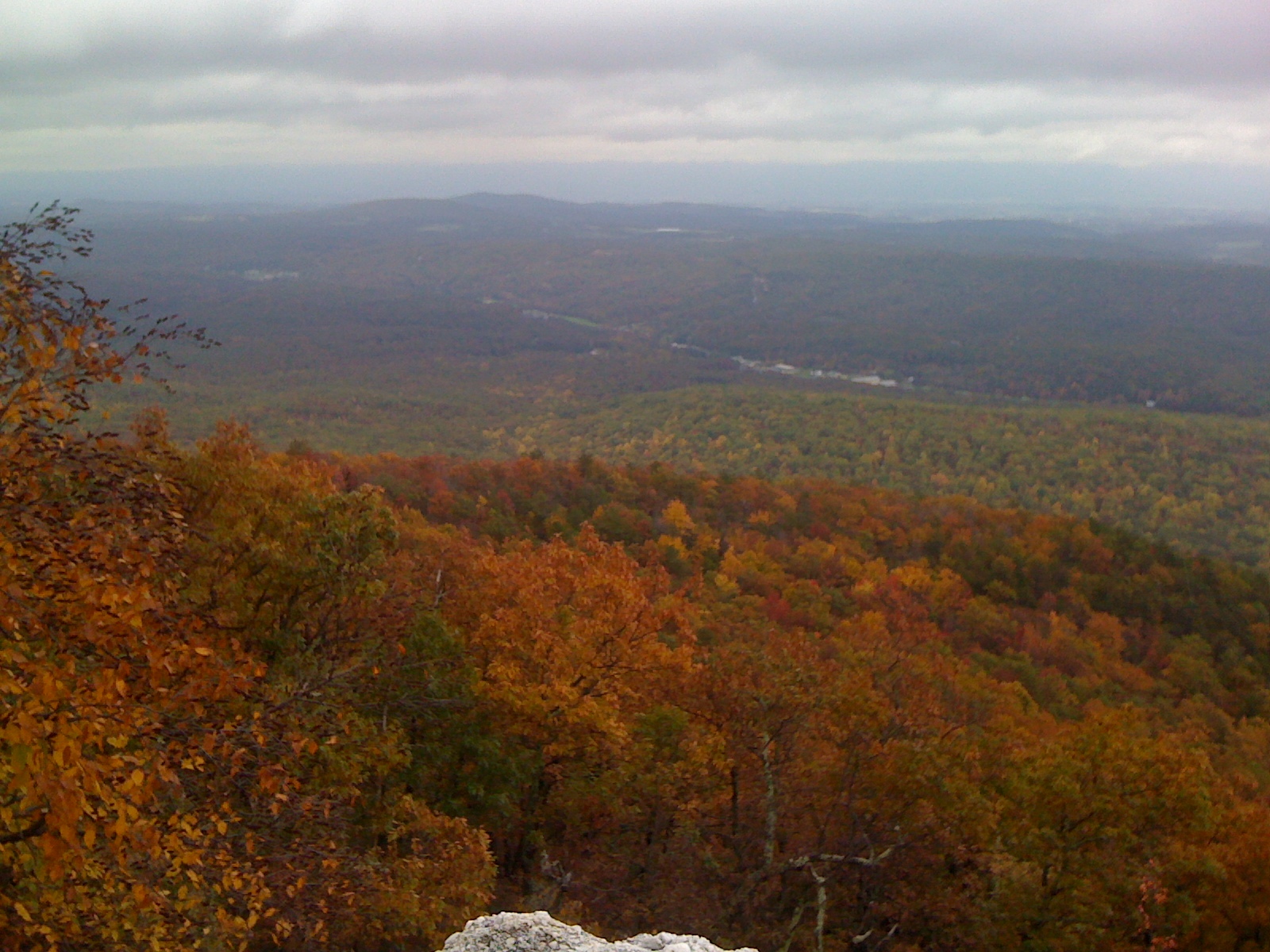
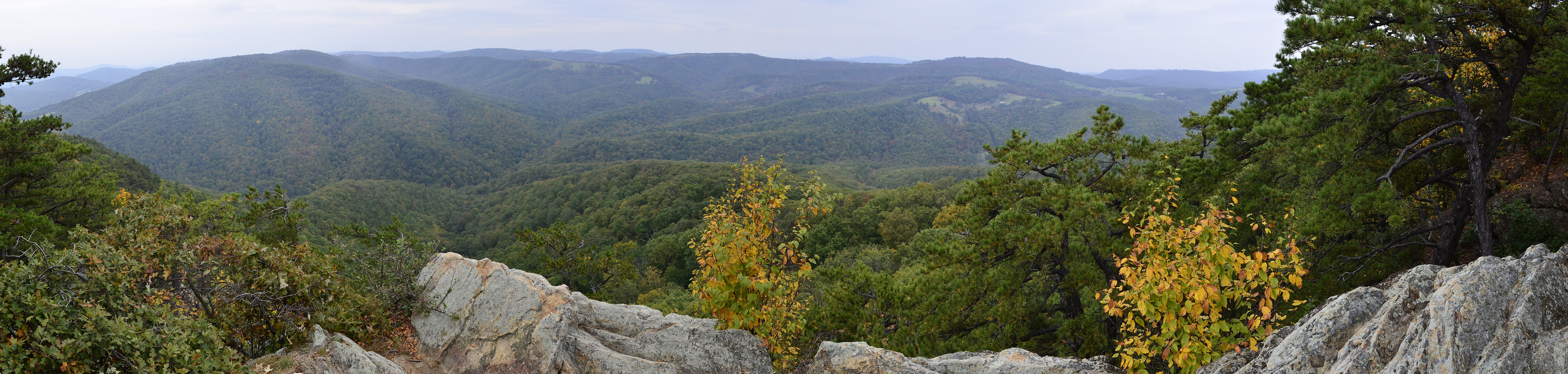
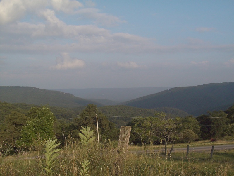
Ridge View
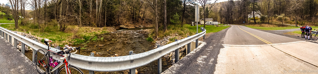
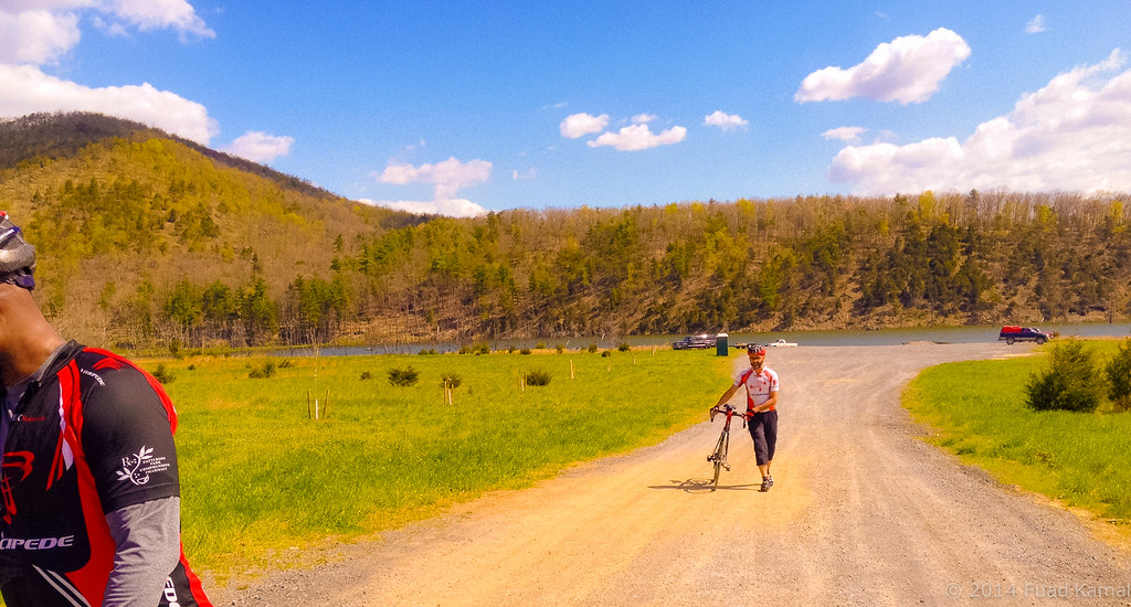
catching the view while we stop to fix a flat

Valley View Mennonite Church Criders Virginia 2012

Late Fall in George Washington Forest, Virginia
Valley View Mennonite Church Criders Virginia 2012

Valley View Mennonite Church Criders Virginia 2012

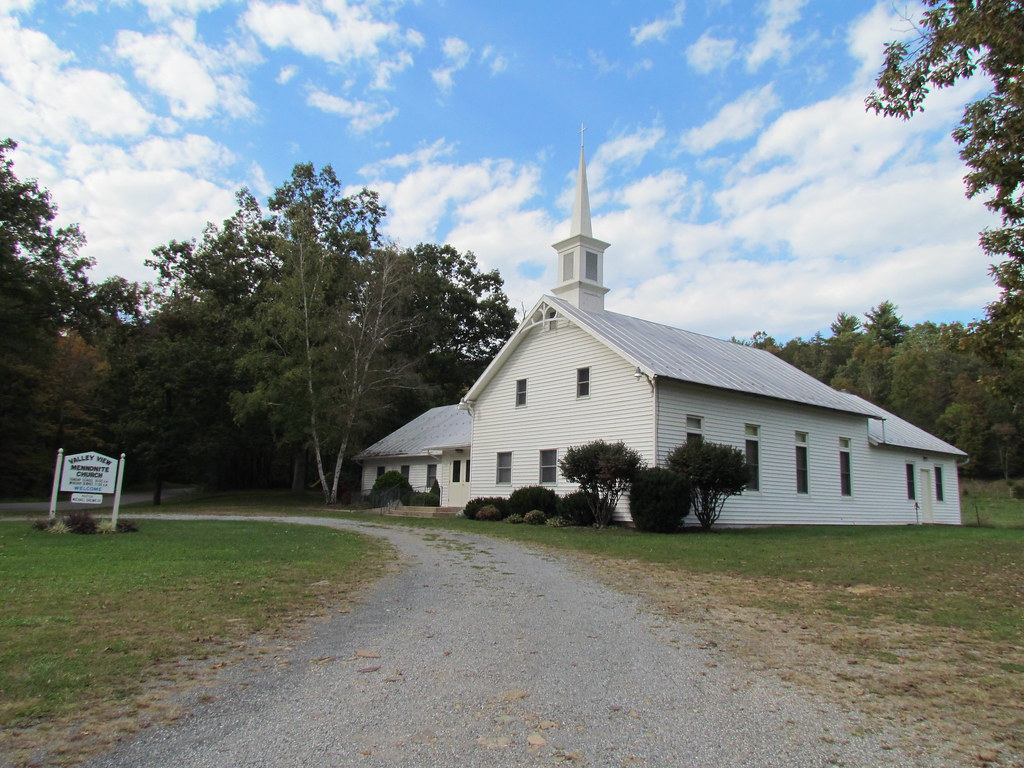
Valley View Mennonite Church Criders Virginia 2012 (1880)
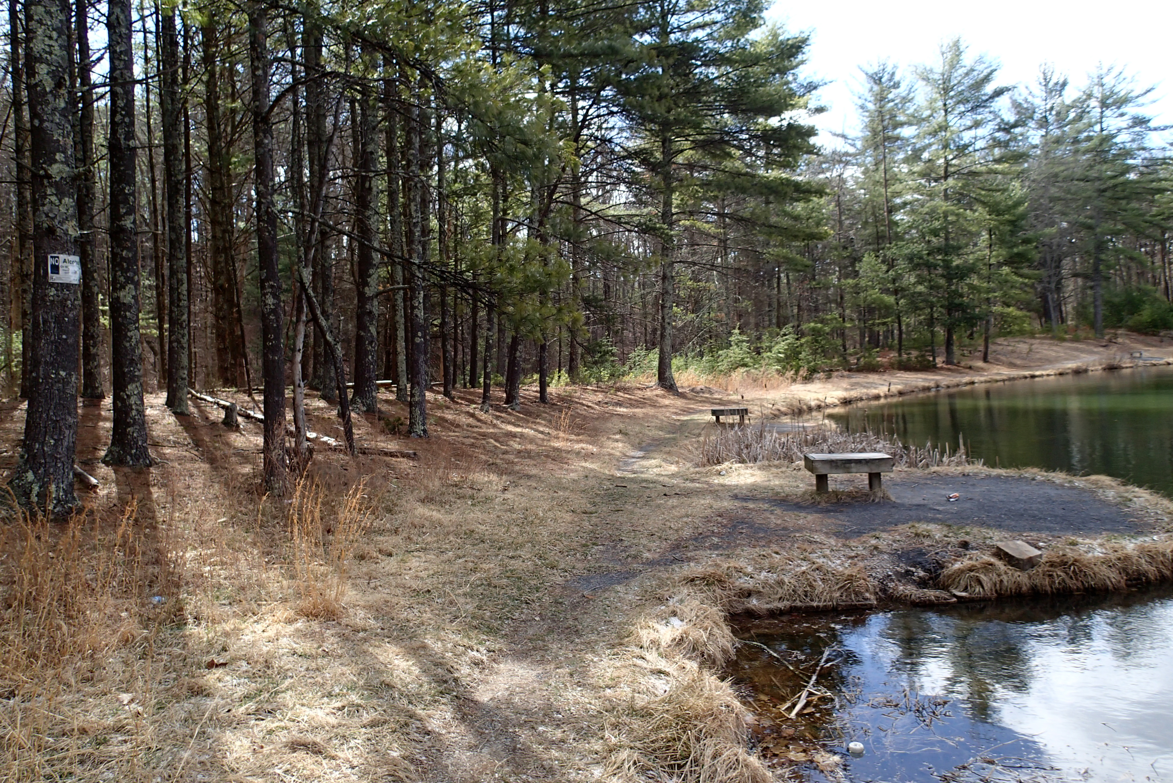
P3285504 04 Jct View Ahead at Tomahawk Pond Tr and Benches
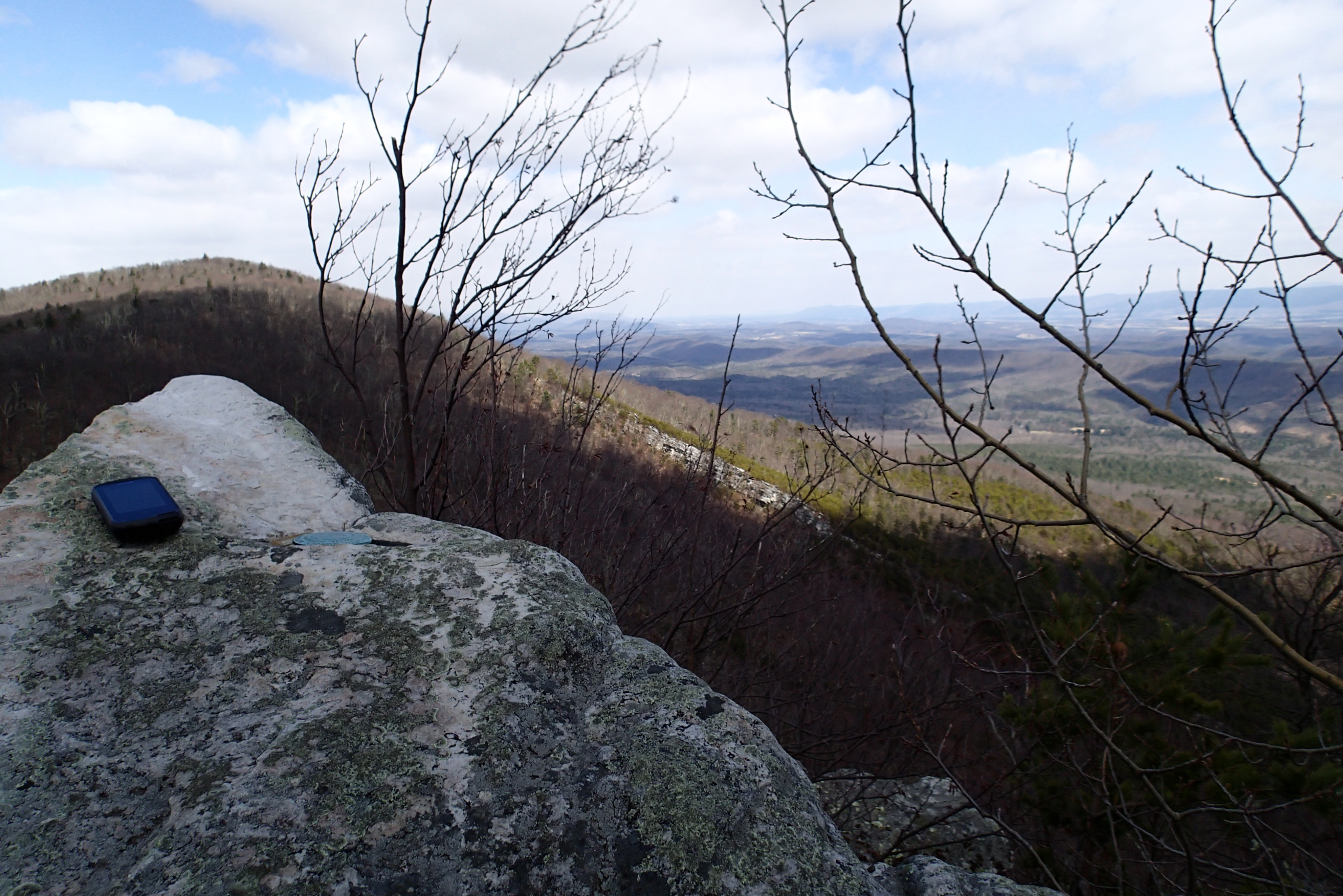
P3295621 10 Church Rock View
P3285611 08 Jct View Looking Right
P3295623 10 Church Rock View Left
P3285600 05 Stream Crossing View Looking Back
P3285503 04 Jct View Forest Road
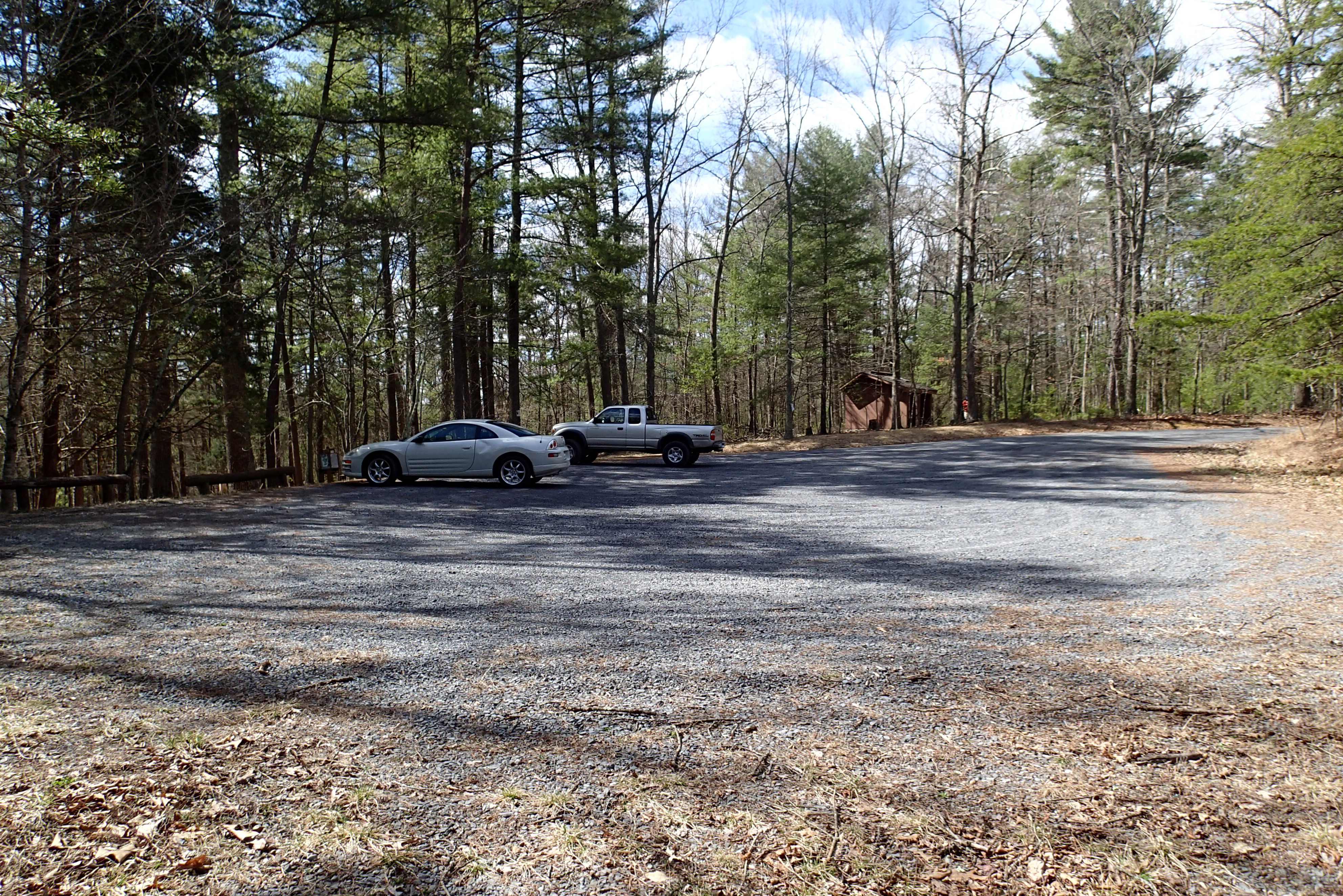
P3285524 08 TH View to Pond

P3285606 06 Jct View of Blaze
P3285605 06 Jct View Looking at Social Short Cut
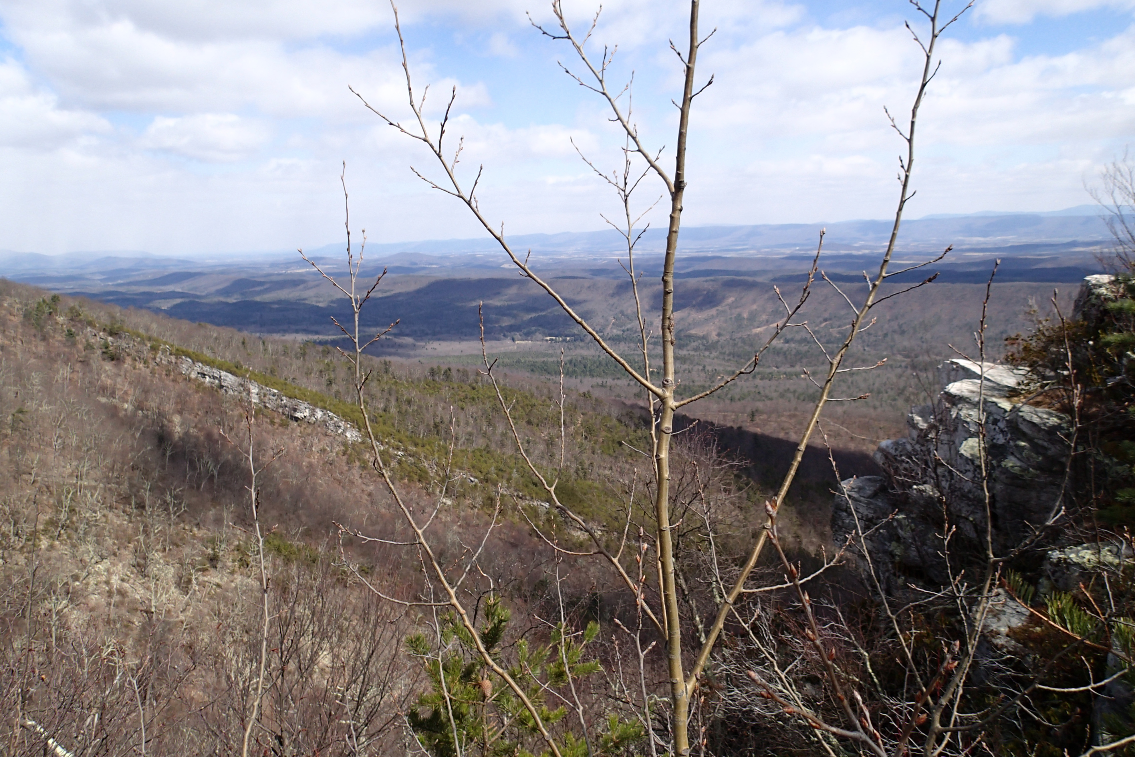
P3295627 10 Church Rock View Right
P3285596 04 Jct View Church Rock Tr
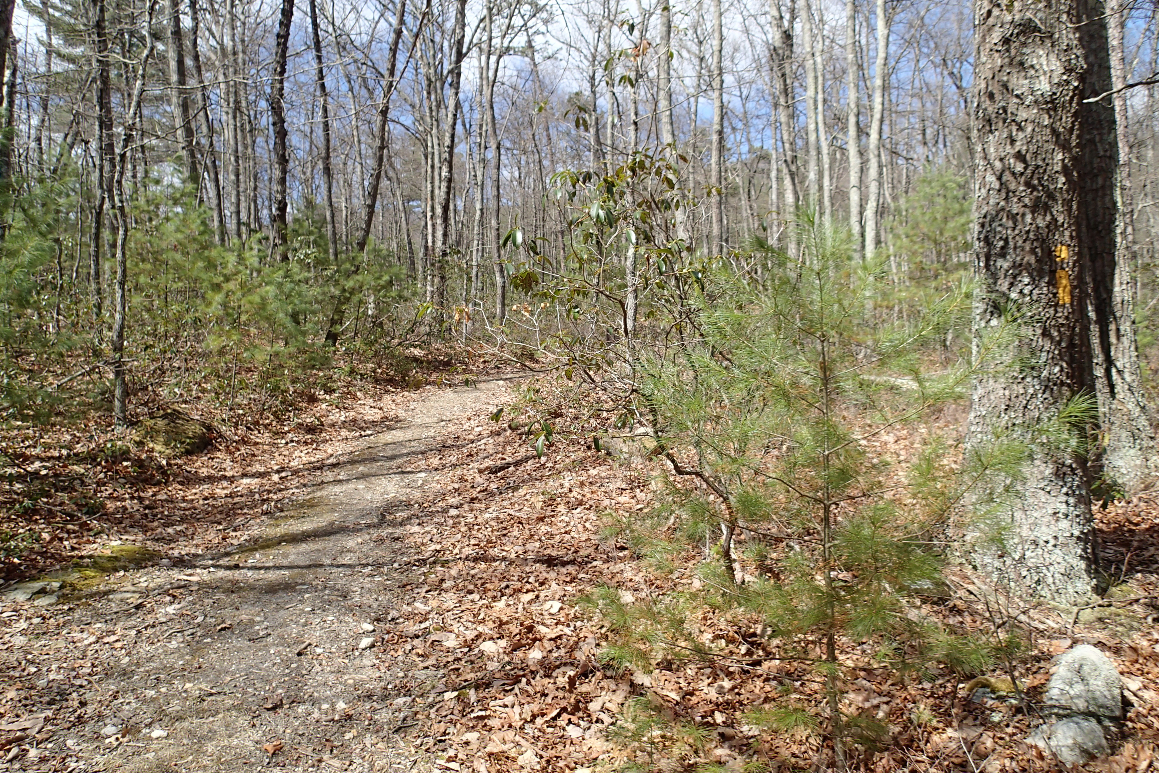
P3285552 10 View of Parking from Sign
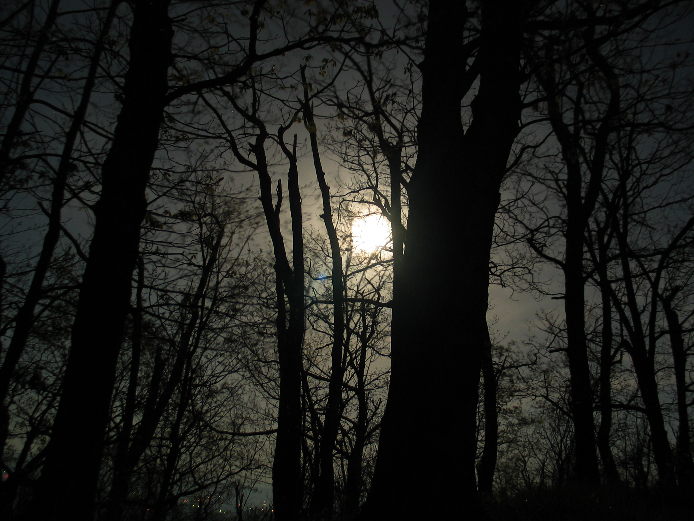
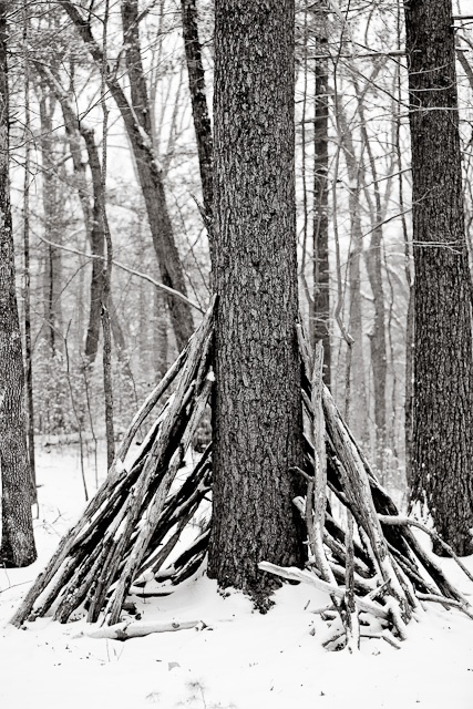
Moon Through Trees

DSC01316 009 FR 1851 jct SR 717
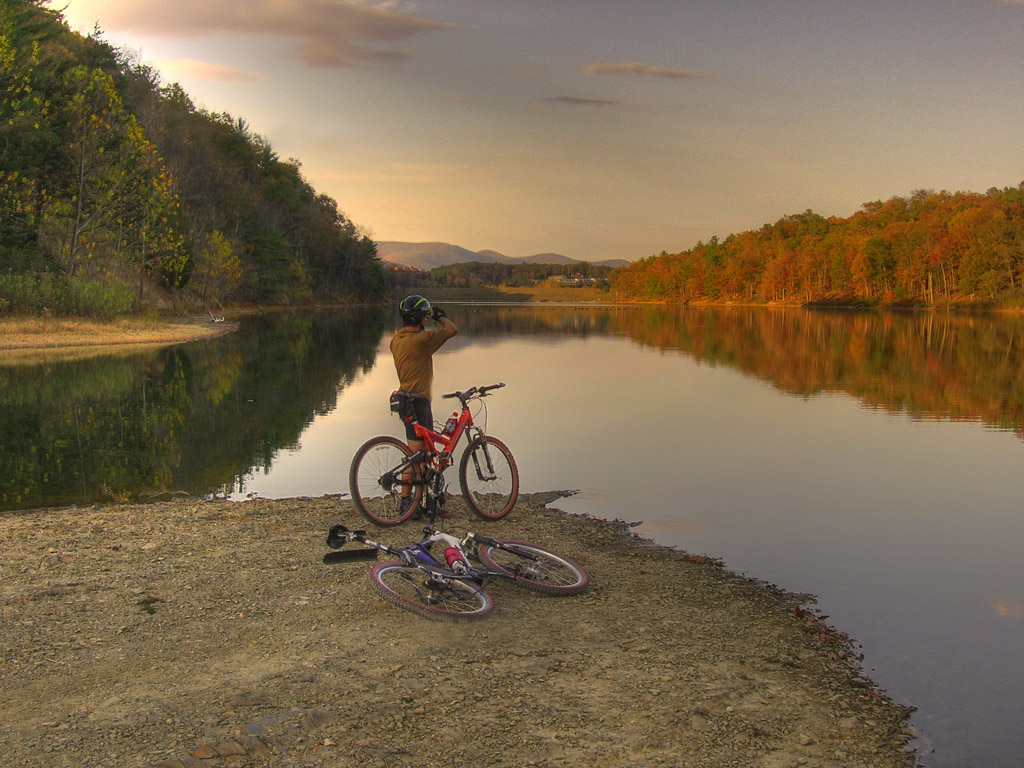
Photo Op
North mt
West VA 121001_120rs
West VA 121001_103 pan s

2009 Parish Rereat-17
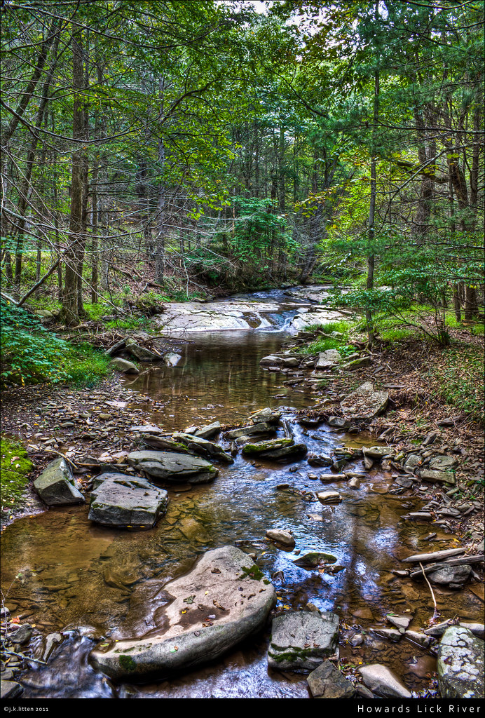
Howards Lick River
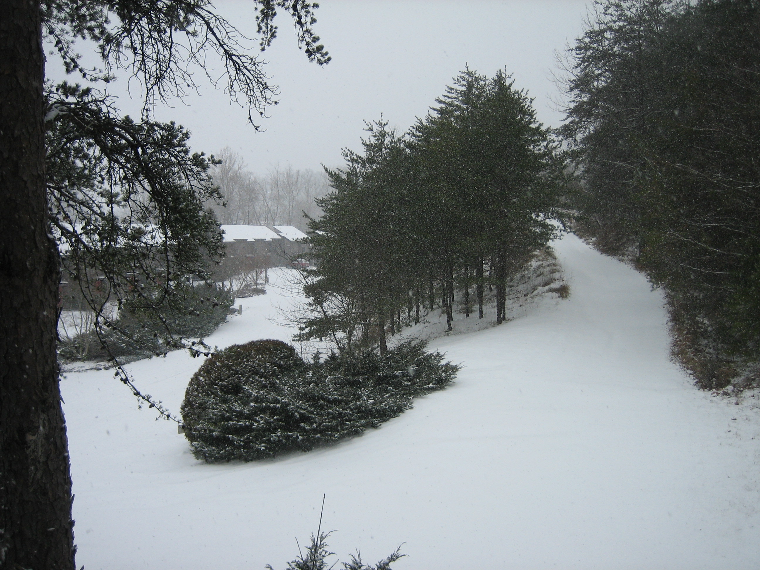
Snow at Chalet High

Fall Scout backpack

20090307-_MG_9667
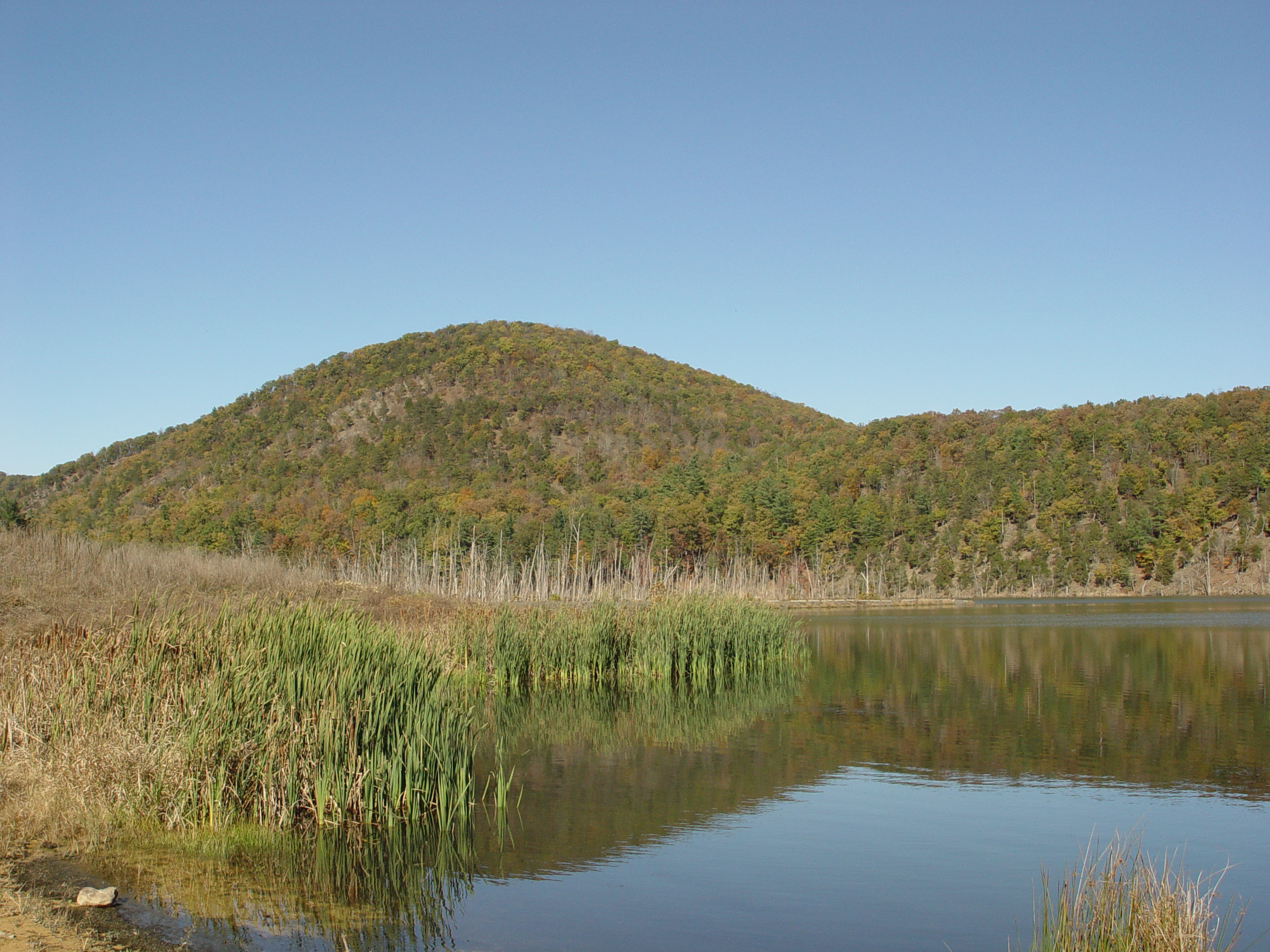
Kimsey Run Lake
20090127-_MG_0145
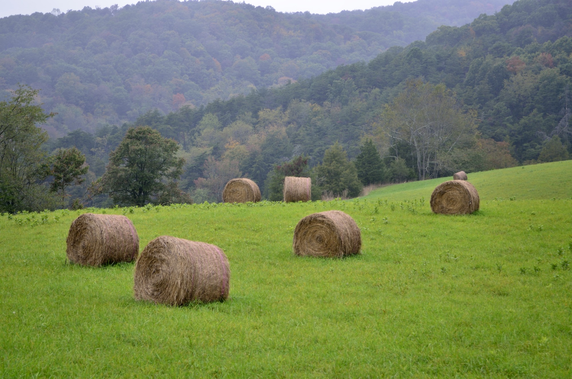
Mountains above farm

First Box Turtle of the season, Church Mountain area of George Washington National Forest
DSC07161.JPG
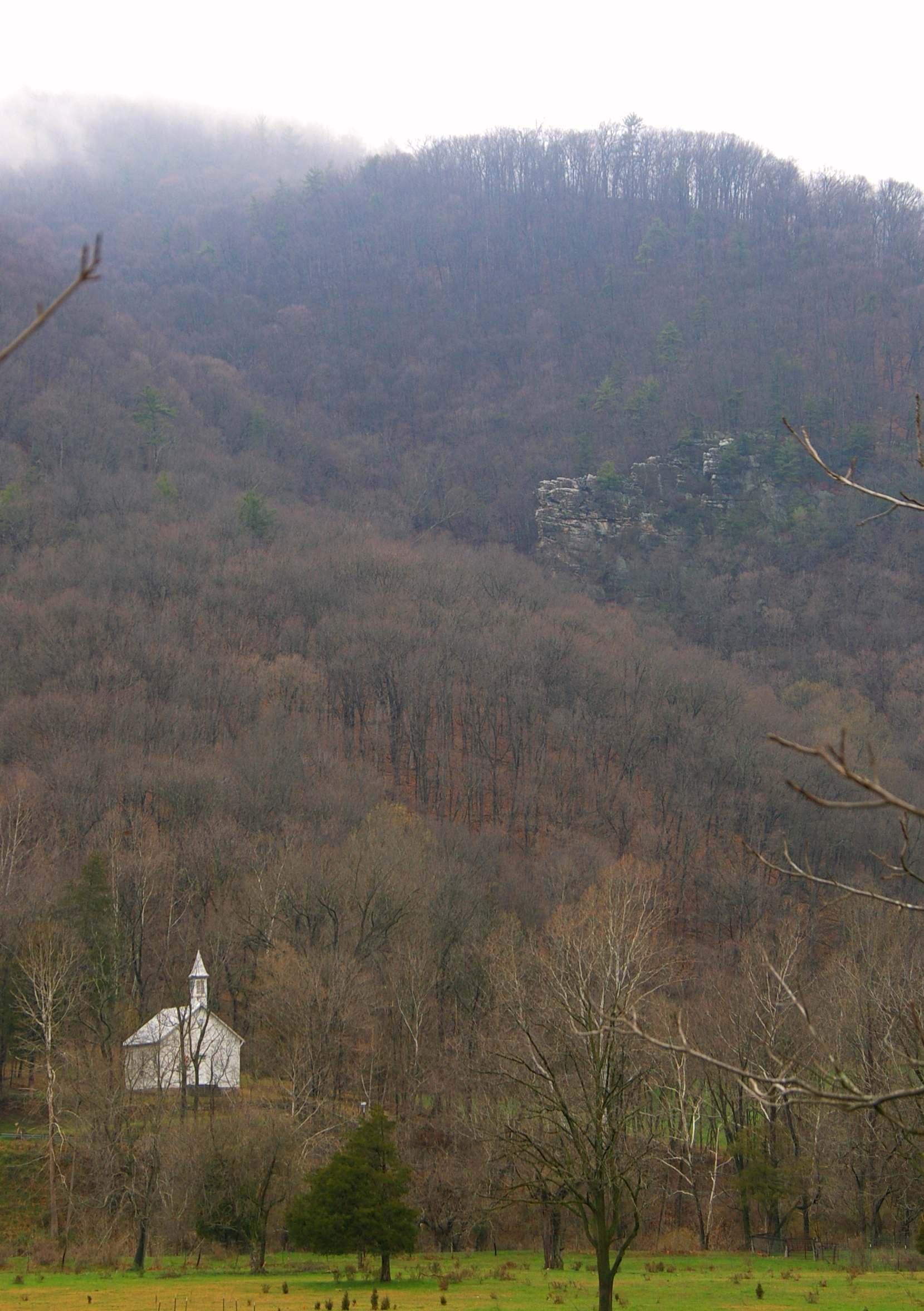
Zion Methodist Church, Milam, WV
Topographic Map of E Ridge Rd, Mathias, WV, USA
Find elevation by address:

Places near E Ridge Rd, Mathias, WV, USA:
1526 Howards Lick Rd
2031 Cullers Run Rd
Lost River State Park
Mathias
55 Hunter Ln
419 Upper Cove Run Rd
419 Co Rte 20
Lost River
Shenandoah Mountain Road
111 Hunting Ridge Rd
444 Hunting Ridge Rd
Basore
41 Middle Cove Run Rd, Mathias, WV, USA
263 Mountain Meadow
263 Mountain Meadow
263 Mountain Meadow Drive
Lost City
WV-, Mathias, WV, USA
6981 Wv-259
310 Coyote Run
Recent Searches:
- Elevation of Corso Fratelli Cairoli, 35, Macerata MC, Italy
- Elevation of Tallevast Rd, Sarasota, FL, USA
- Elevation of 4th St E, Sonoma, CA, USA
- Elevation of Black Hollow Rd, Pennsdale, PA, USA
- Elevation of Oakland Ave, Williamsport, PA, USA
- Elevation of Pedrógão Grande, Portugal
- Elevation of Klee Dr, Martinsburg, WV, USA
- Elevation of Via Roma, Pieranica CR, Italy
- Elevation of Tavkvetili Mountain, Georgia
- Elevation of Hartfords Bluff Cir, Mt Pleasant, SC, USA