Elevation of Western New Mexico University, W College Ave, Silver City, NM, USA
Location: United States > New Mexico > Silver City >
Longitude: -108.28293
Latitude: 32.7754152
Elevation: 1823m / 5981feet
Barometric Pressure: 81KPa
Elevation Map:
Satellite Map:
Related Photos:

New Mexico - Silver City

New Mexico - Silver City

Saturday at the Blues Festival

Enchantment Discovered

Comet Lovejoy Through a Telescope

Shadows on the Fort Wall

View from the top

Silver City, NM

Bird's Eye View
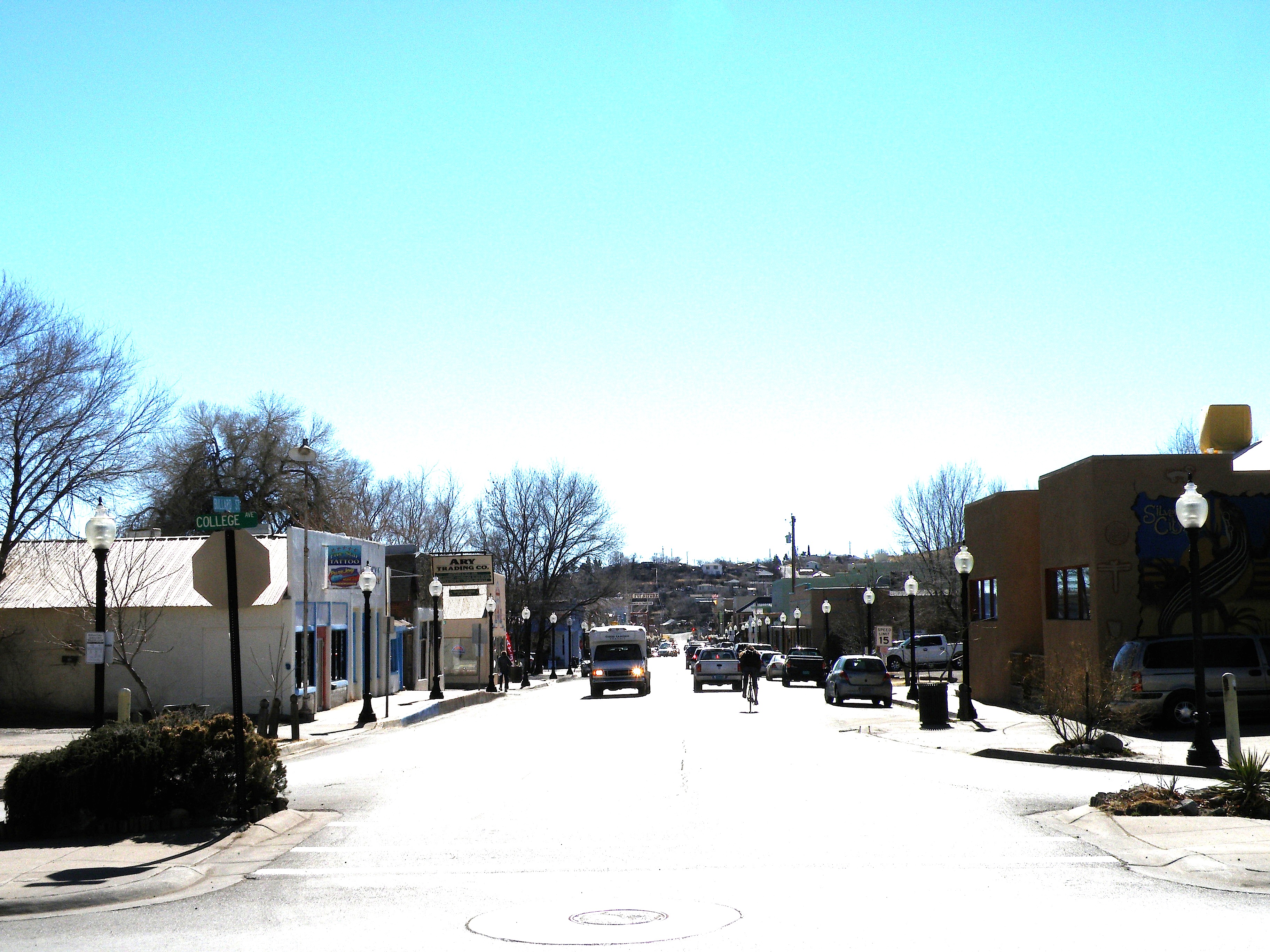
Looking down Bullard at midday

Feast of Saint Clare Fiesta

Old Santa Clara Church

Mule Deer

0317 New Mexico, Silver City, Street

View from Boston Hill

St. Vincents II
sc_boston_hill-002w.jpg

Silver City

Isaac's

View towards Silver City range

Enter Scenery

Gila National Wilderness

Gila National Wilderness

Evening Clouds

Gila Regional Medical Center

The Big Ditch in summer

Orion Rising over the Gila
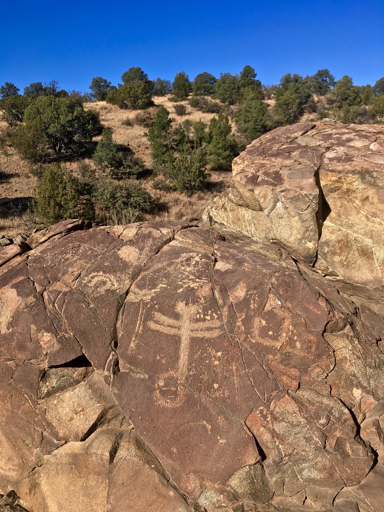
Dragonfly Petroglyph

Boston Hill, Silver City

Whipple Cholla
Looking up Boston Hill
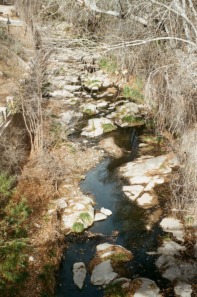
silver city san vincente creek up river
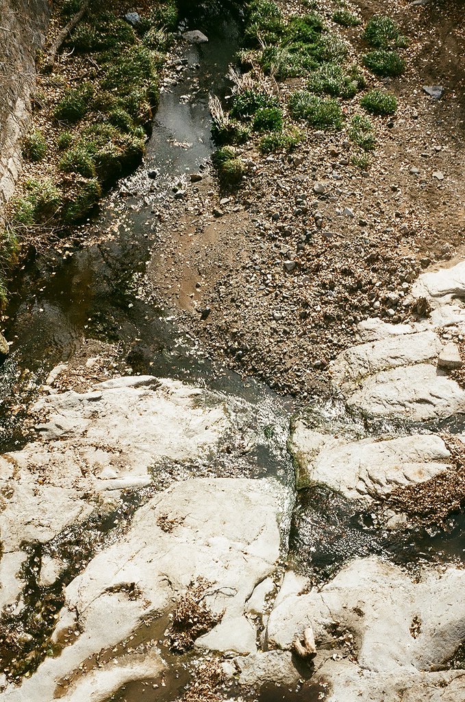
silver city san vincente creek
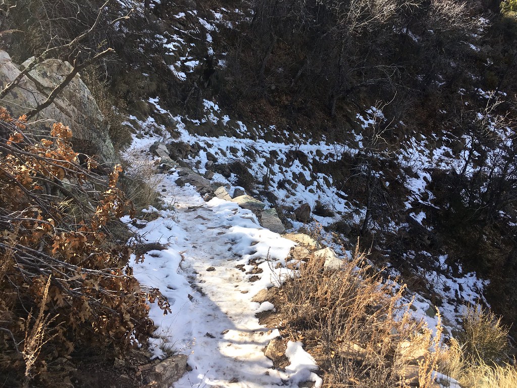
snowy trail

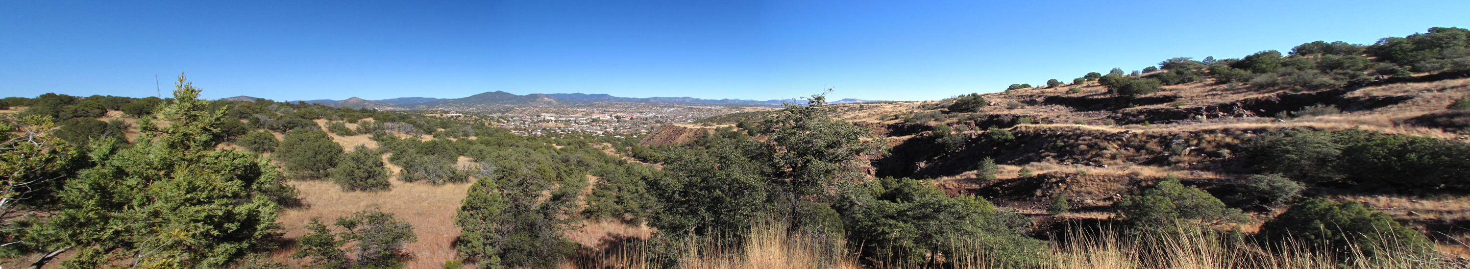
Silver City Panorama

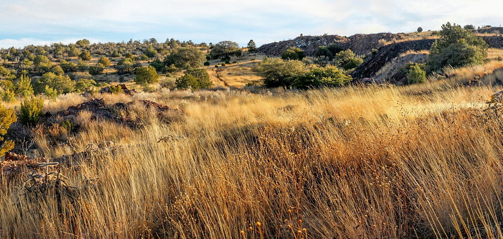
Dragonfly Trail

Dragonfly Trail
Topographic Map of Western New Mexico University, W College Ave, Silver City, NM, USA
Find elevation by address:

Places near Western New Mexico University, W College Ave, Silver City, NM, USA:
207 S Combs St
4 Amber Dr
Treasure Mountain
53 N Fork Walnut Creek Rd
15 Bar 6 Dr
398 Red Rock Rd
White Signal
Burro Peak
38 S Bear Creek Heights
38 S Bear Creek Heights
38 S Bear Creek Heights
Gila
Diablo Range Hp
Redrock
Shelley Peak
352 Duck Creek Rd
Buckhorn
Seventyfour Mountain
Lilley Mountain
Mogollon Baldy Peak
Recent Searches:
- Elevation of Corso Fratelli Cairoli, 35, Macerata MC, Italy
- Elevation of Tallevast Rd, Sarasota, FL, USA
- Elevation of 4th St E, Sonoma, CA, USA
- Elevation of Black Hollow Rd, Pennsdale, PA, USA
- Elevation of Oakland Ave, Williamsport, PA, USA
- Elevation of Pedrógão Grande, Portugal
- Elevation of Klee Dr, Martinsburg, WV, USA
- Elevation of Via Roma, Pieranica CR, Italy
- Elevation of Tavkvetili Mountain, Georgia
- Elevation of Hartfords Bluff Cir, Mt Pleasant, SC, USA