Elevation of Duck Creek Rd, Buckhorn, NM, USA
Location: United States > New Mexico > Grant County > Buckhorn >
Longitude: -108.70639
Latitude: 33.0407207
Elevation: 1457m / 4780feet
Barometric Pressure: 85KPa
Elevation Map:
Satellite Map:
Related Photos:
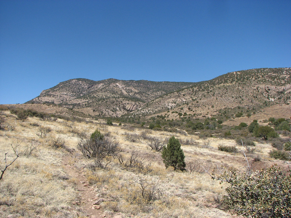
Area near Silver City, NM
Big Bolt
Old Native American Outpost
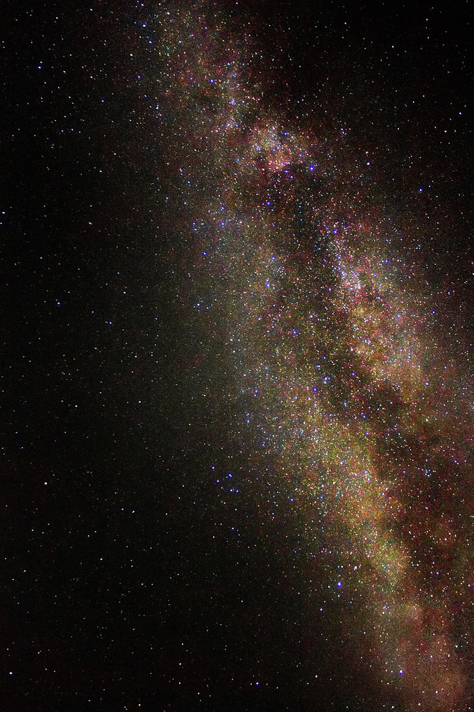
Milky Way: The Galactic Core

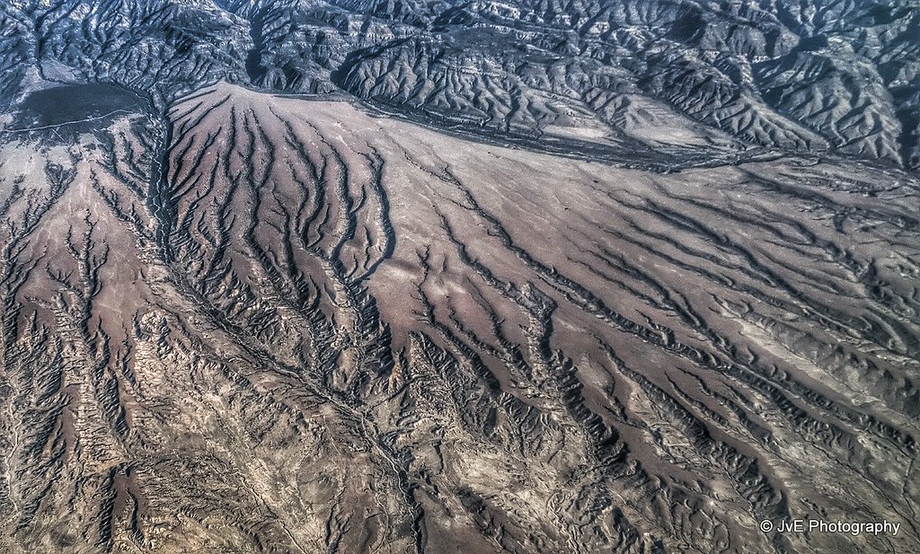
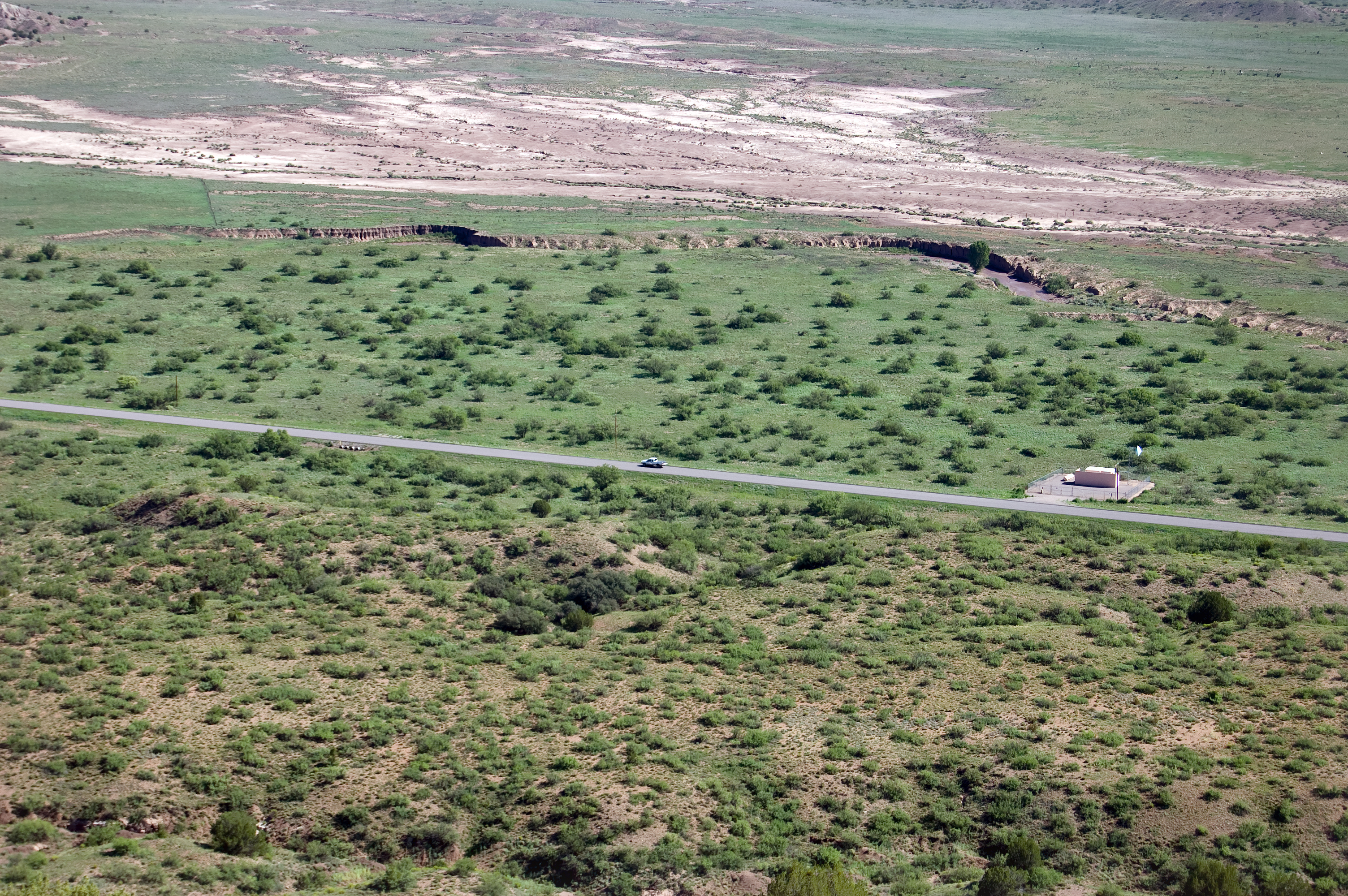
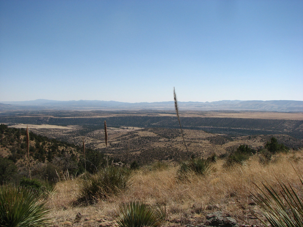
Aerial view at the Mimbres Mountains, MN
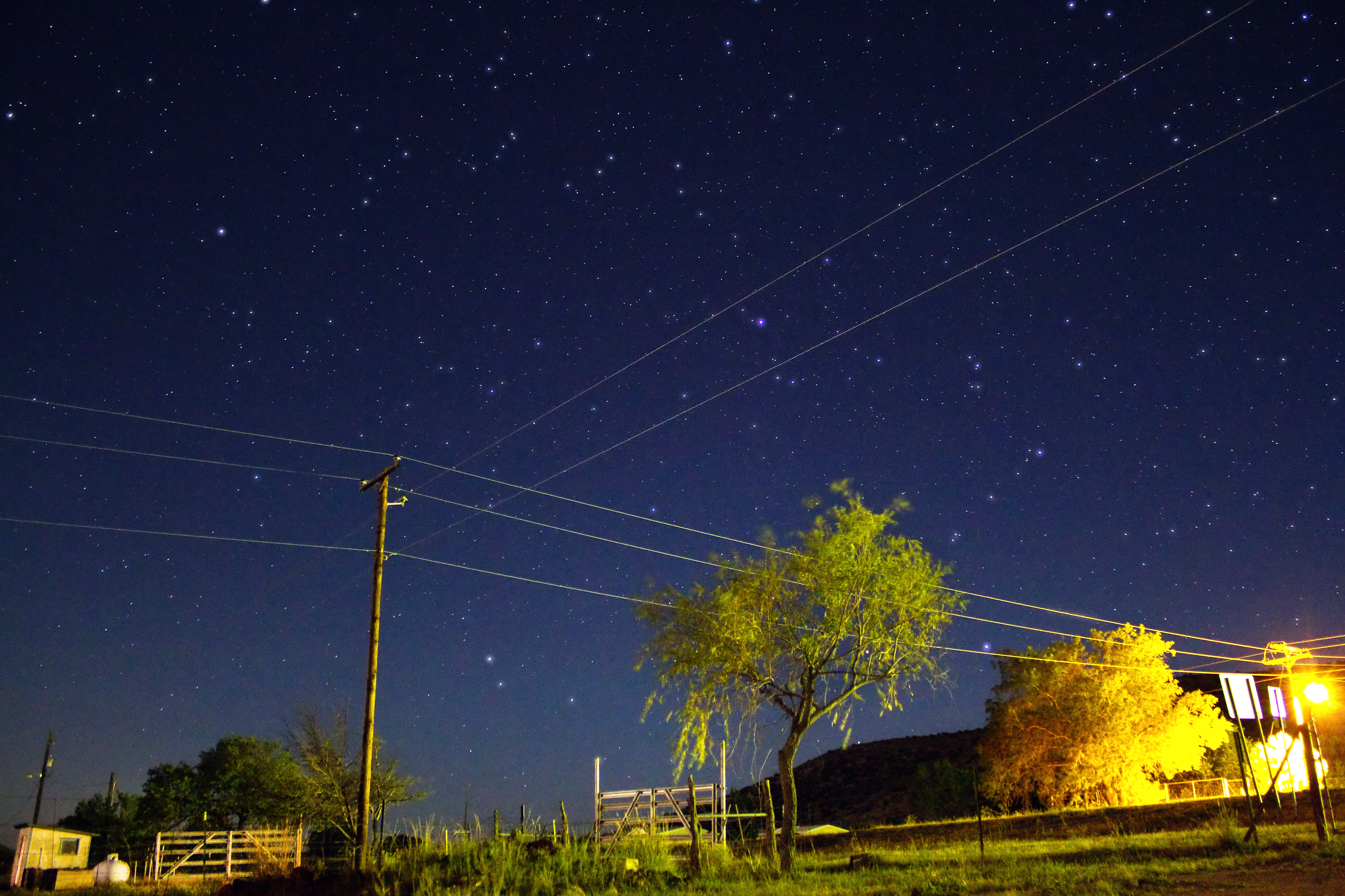
Stars Over New Mexico

View at San Andres National Wildlife Refuge
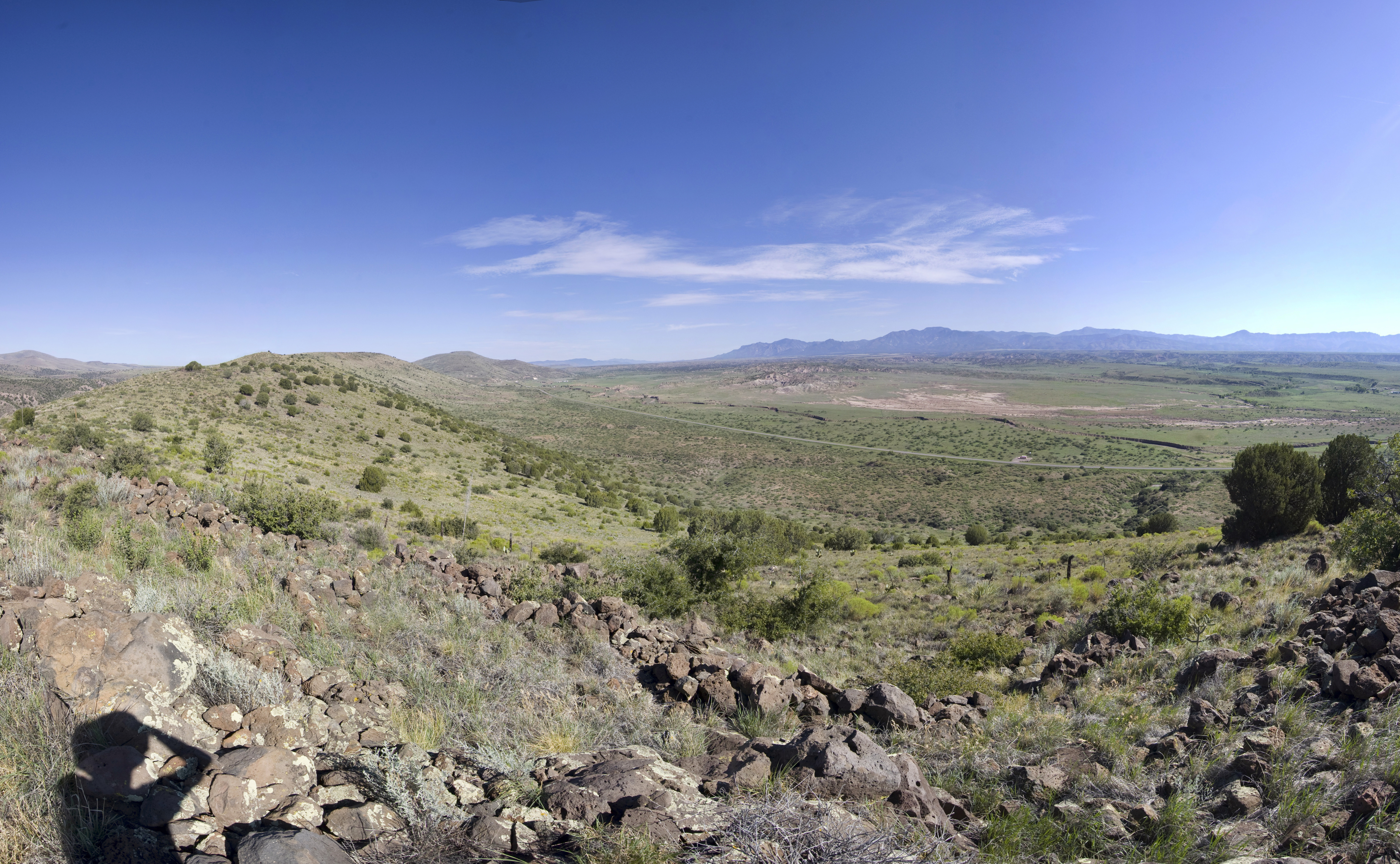
With a View

Lone Tree
Highway 180
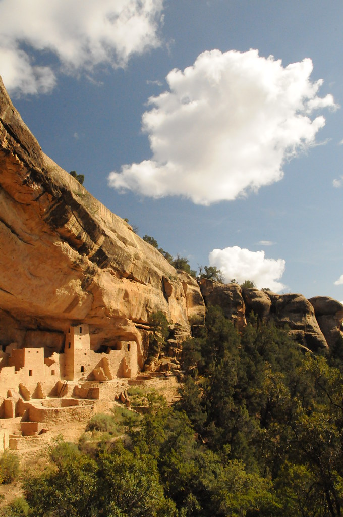
Cliff Palace, Mesa Verde
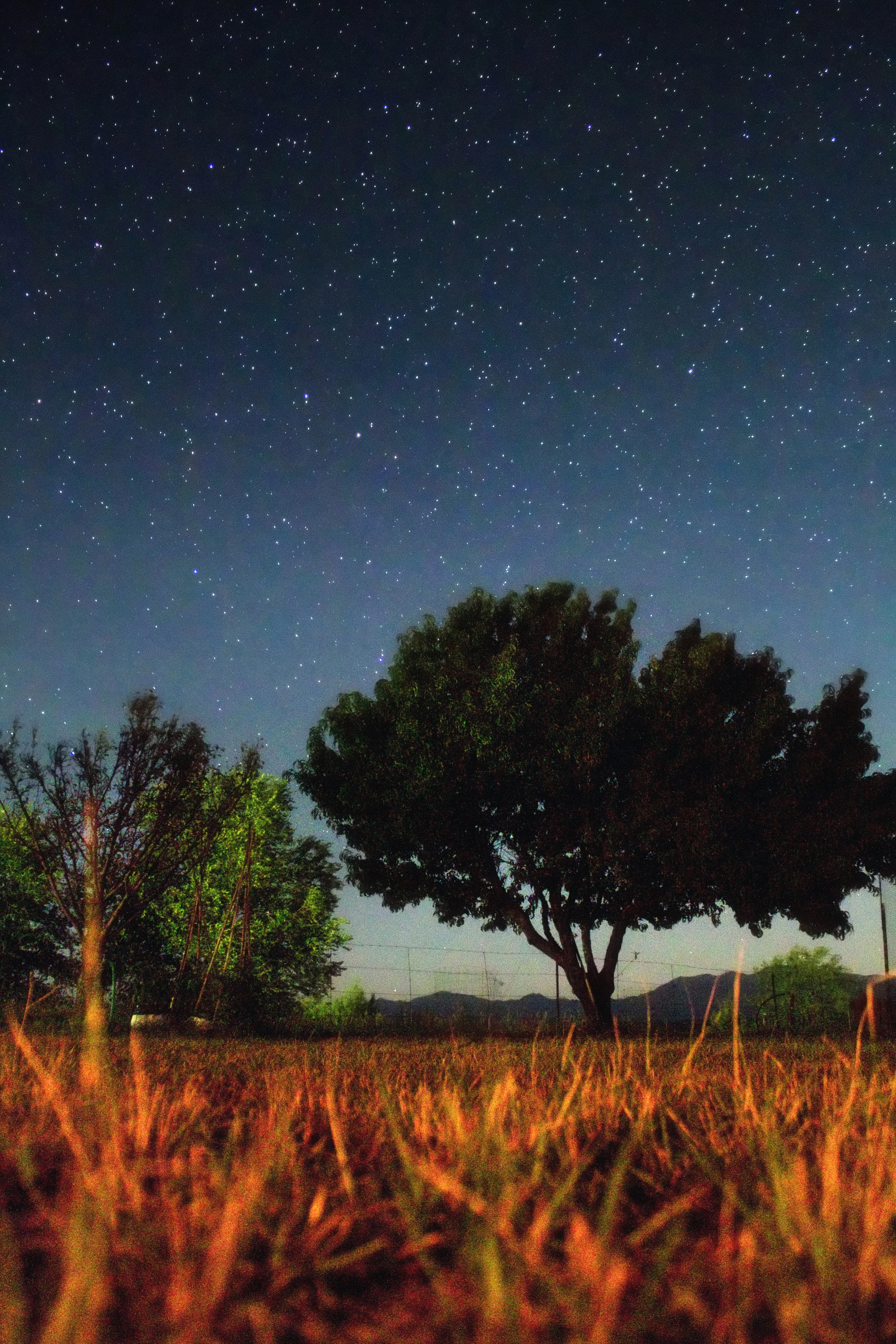
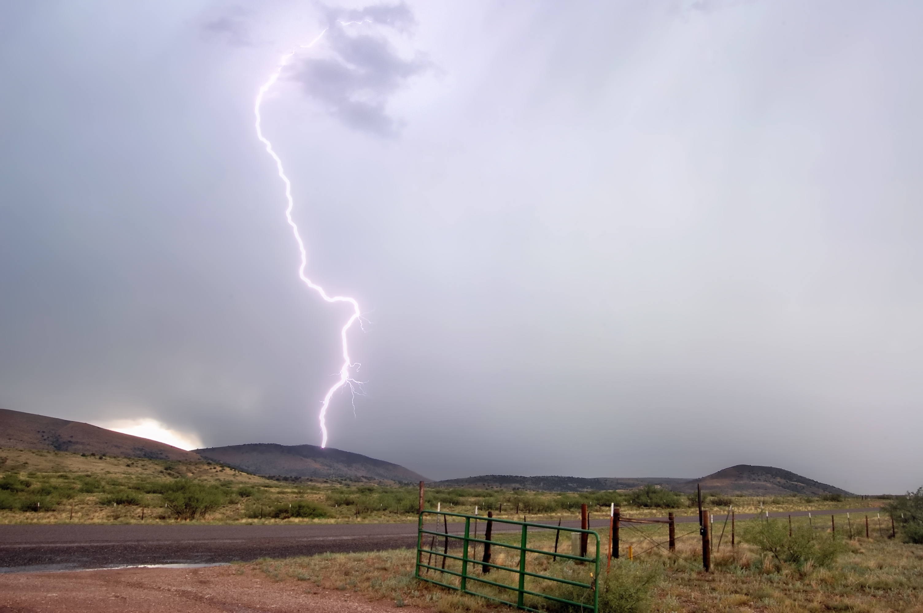
Desert Nightfall
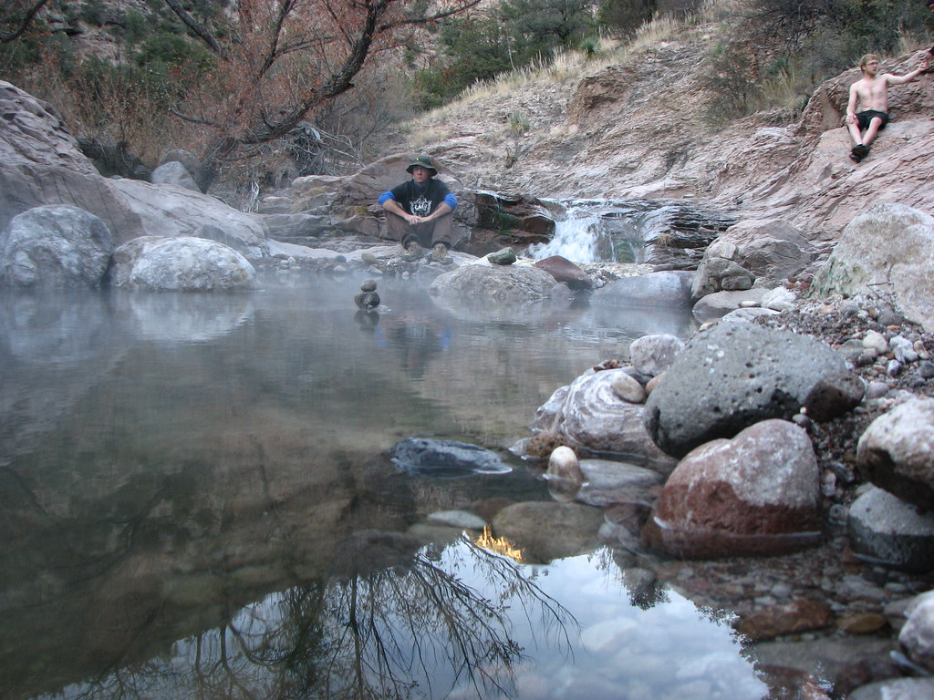
Spring Steamin'
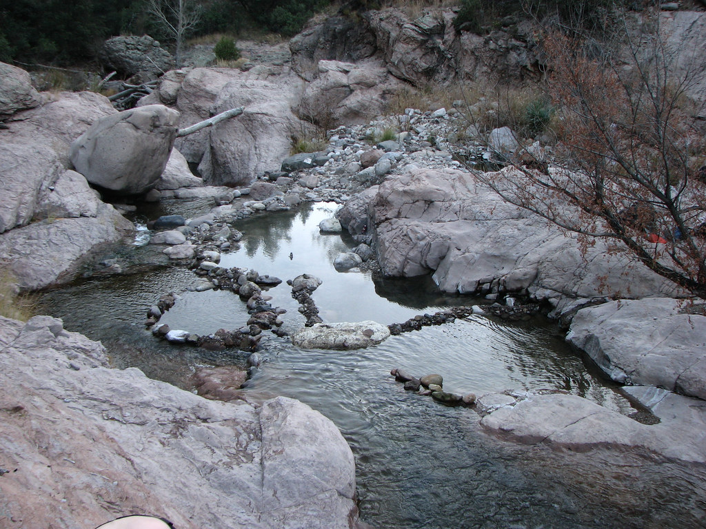
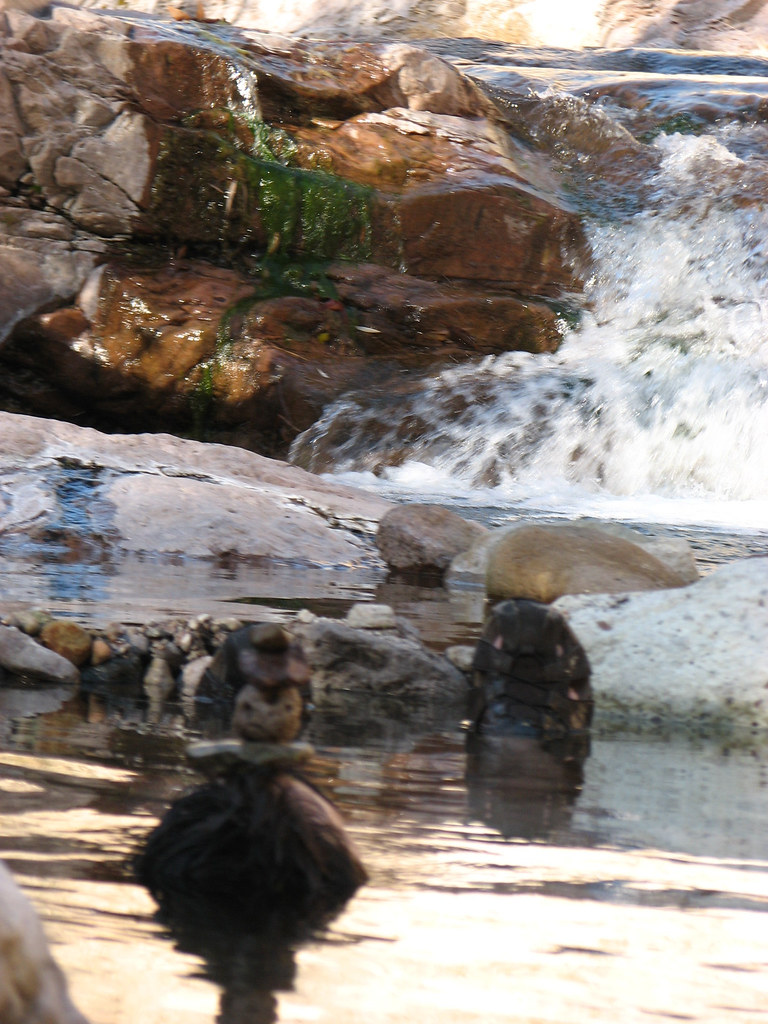
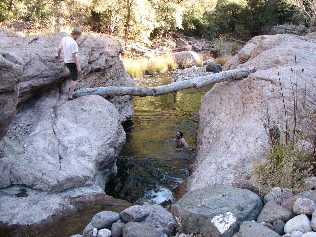
Looking Downstream
Turkey Creek Hotsprings Overview
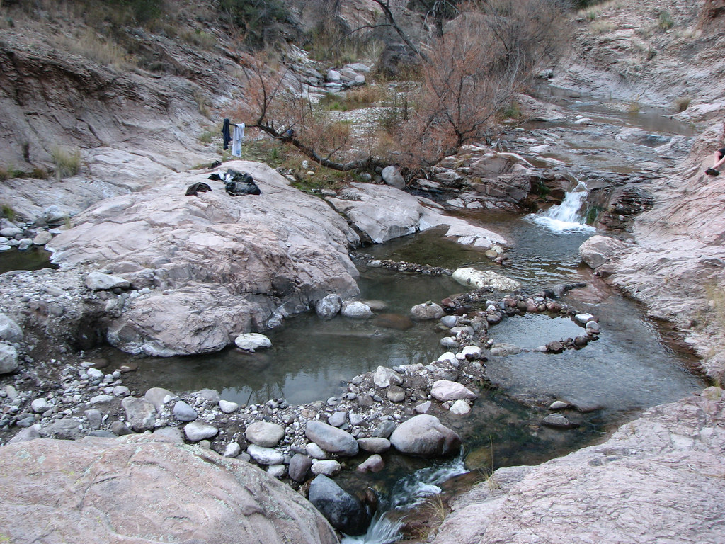
Whatcha Waitin' For
Admiring the Tubs
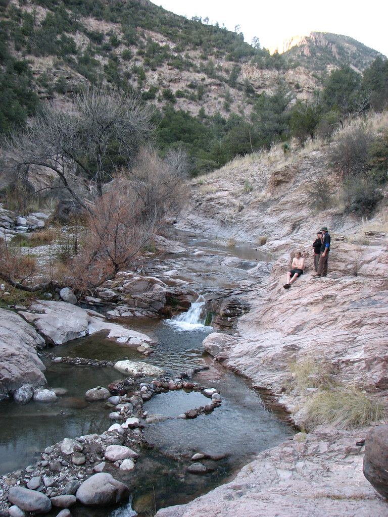
Mogollon Creek Watershed
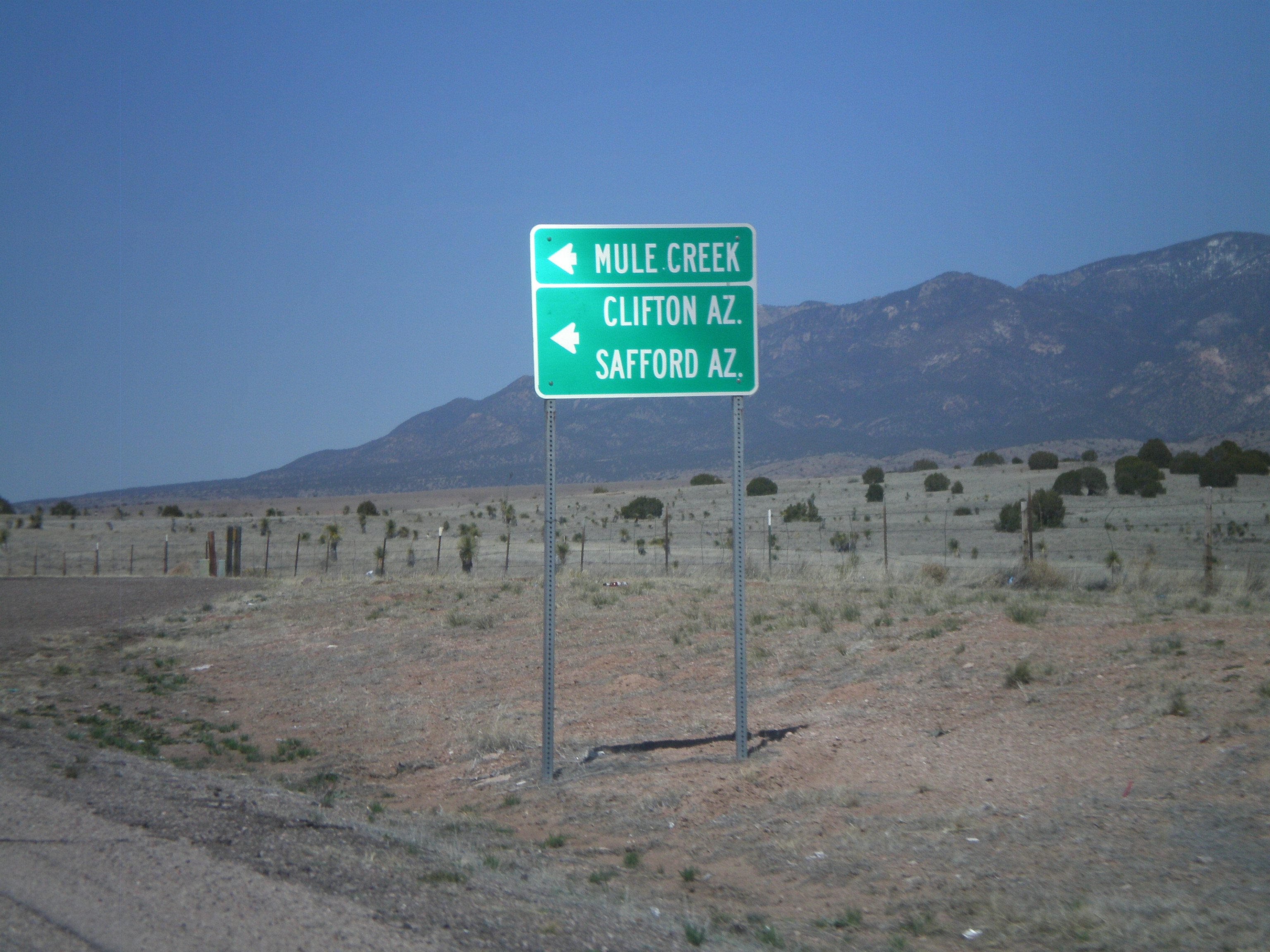
US-180 West Approaching NM-78
The Route Ahead
Sonoran Desert Mountains
The Progress Thus Far
Progress Check 2
Mogollon Creek Trail

Mogollon Gila Confluence, Grant Co. New Mexico
Topographic Map of Duck Creek Rd, Buckhorn, NM, USA
Find elevation by address:

Places near Duck Creek Rd, Buckhorn, NM, USA:
Buckhorn
Gila
Seventyfour Mountain
Dry Section Mountain
38 S Bear Creek Heights
38 S Bear Creek Heights
38 S Bear Creek Heights
Haystack Mountain
Mule Mountains Hp
Applegate Mountain
Aldo Leopold Vista Picnic Area (recgovnpsdata)
Shelley Peak
6034 Us-180
Sheridan Mountain
Sacaton Mountain
Deer Peak
Outlaw Mountain
Sundial Mountain
Mogollon Baldy Peak
Brushy Mountain
Recent Searches:
- Elevation of Corso Fratelli Cairoli, 35, Macerata MC, Italy
- Elevation of Tallevast Rd, Sarasota, FL, USA
- Elevation of 4th St E, Sonoma, CA, USA
- Elevation of Black Hollow Rd, Pennsdale, PA, USA
- Elevation of Oakland Ave, Williamsport, PA, USA
- Elevation of Pedrógão Grande, Portugal
- Elevation of Klee Dr, Martinsburg, WV, USA
- Elevation of Via Roma, Pieranica CR, Italy
- Elevation of Tavkvetili Mountain, Georgia
- Elevation of Hartfords Bluff Cir, Mt Pleasant, SC, USA