Elevation map of Grant County, NM, USA
Location: United States > New Mexico >
Longitude: -108.23775
Latitude: 32.9690805
Elevation: 2253m / 7392feet
Barometric Pressure: 77KPa
Elevation Map:
Satellite Map:
Related Photos:
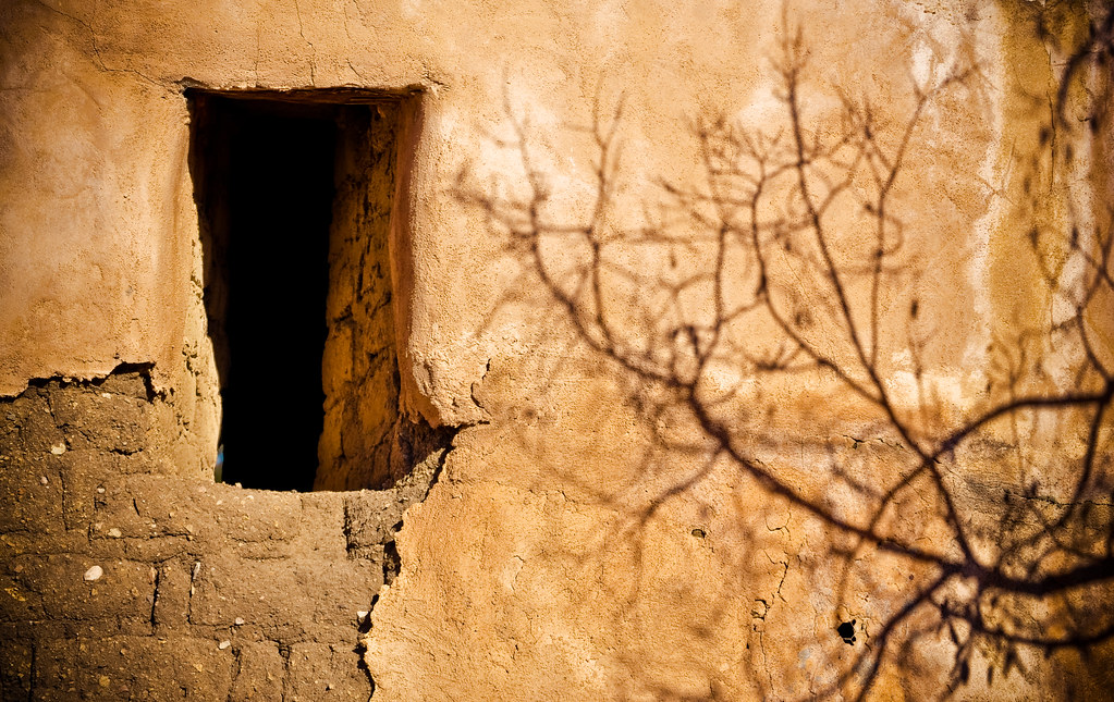
Shadows on the Fort Wall
Enchantment Discovered
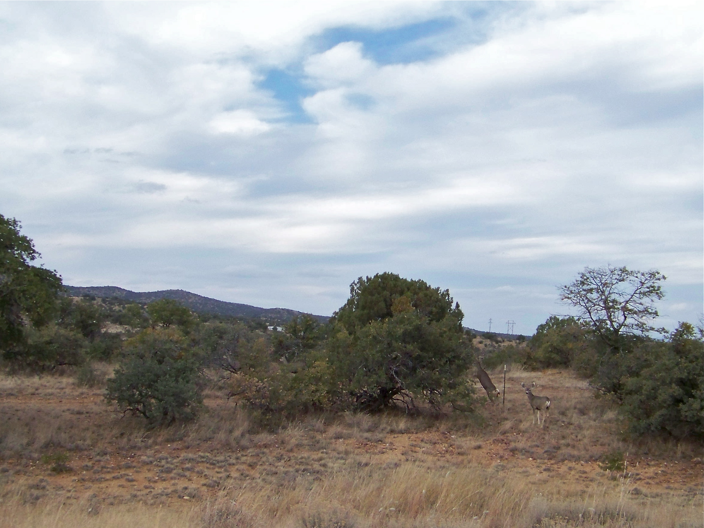
Mule Deer
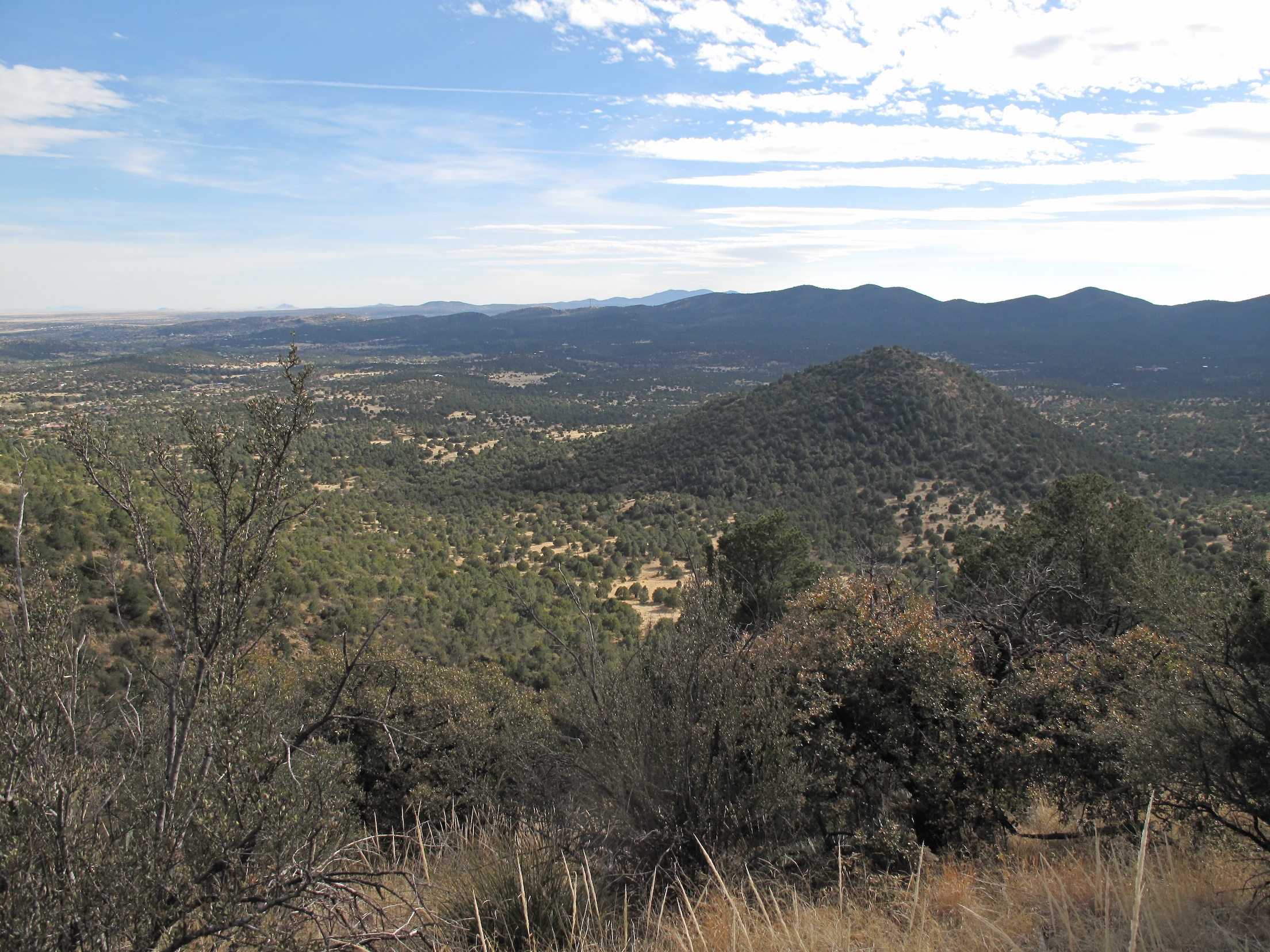
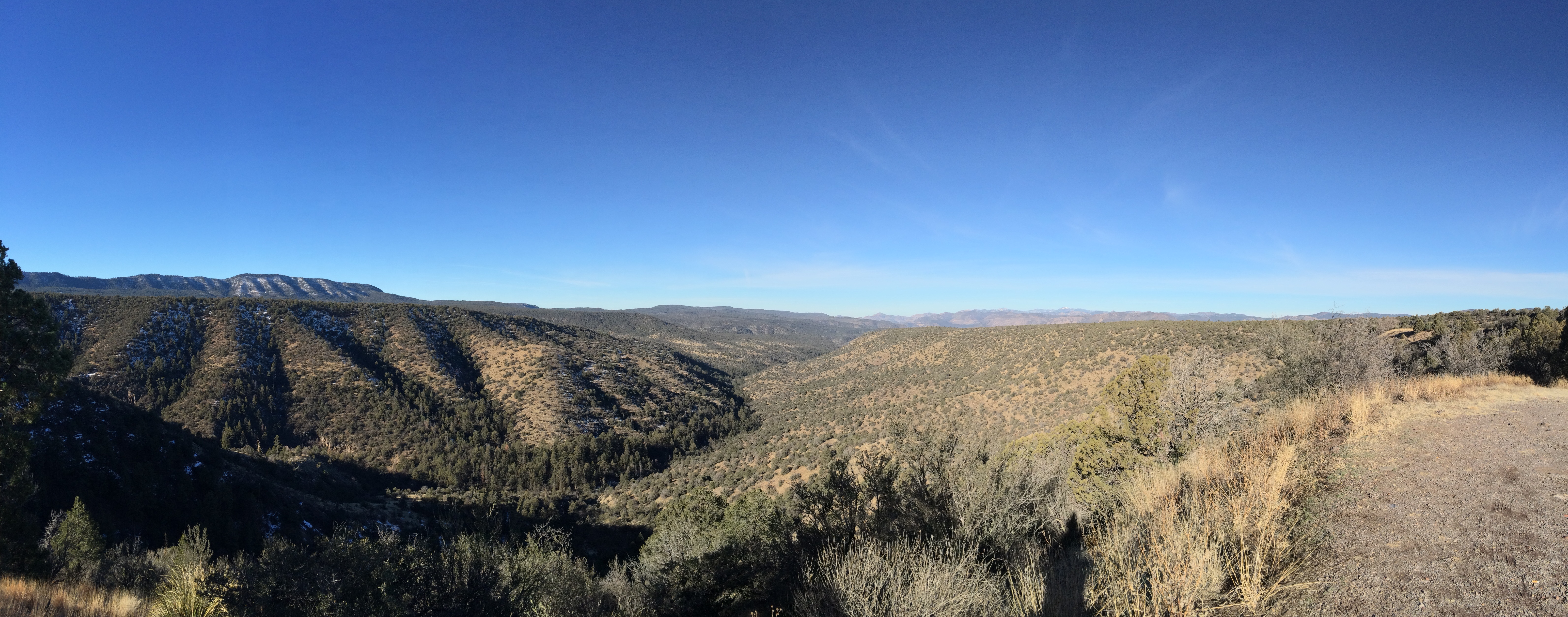
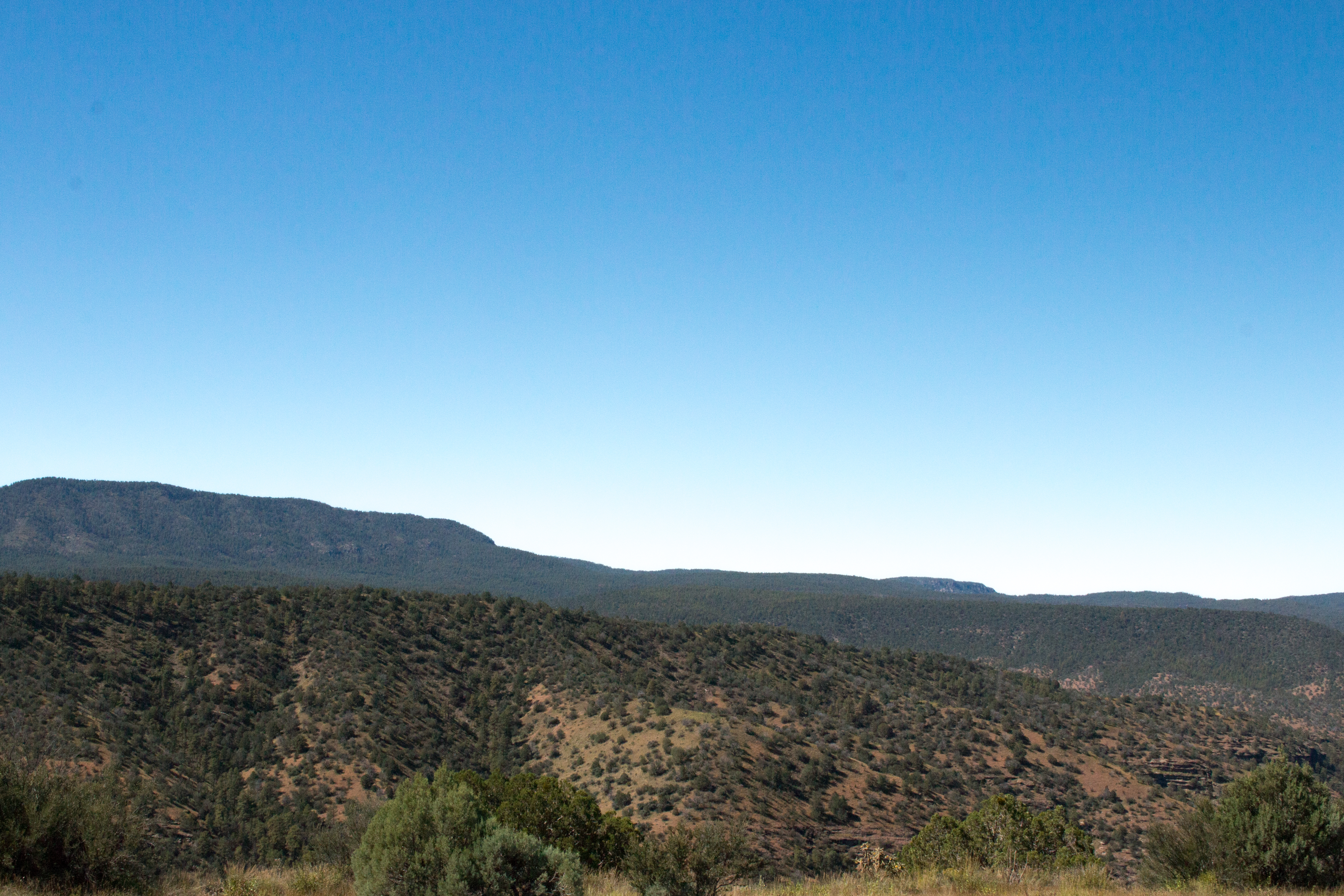
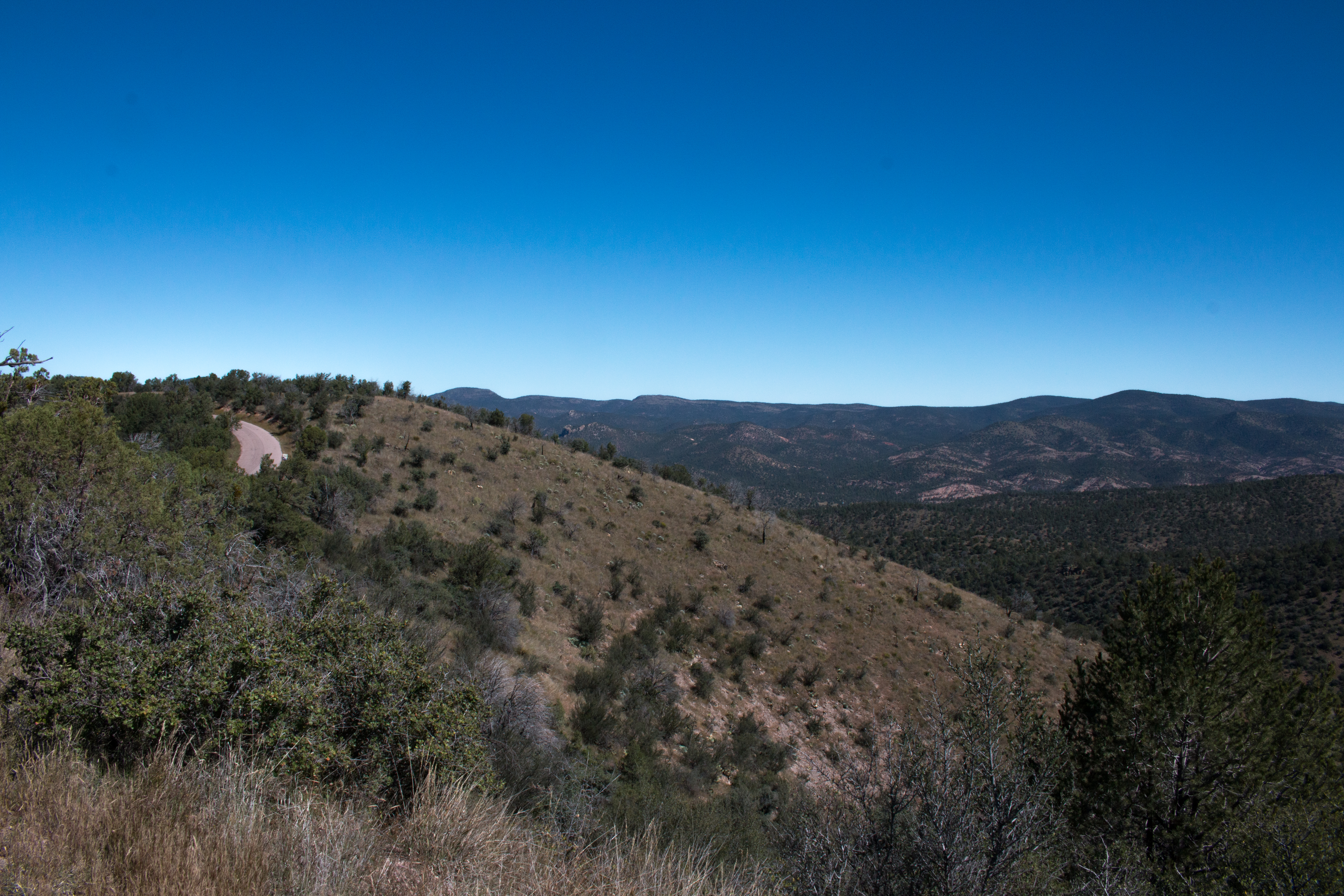
View towards Silver City range
Light and Shadow on the Gila Wilderness
Signal Peak Fire Tower
Orion Rising over the Gila
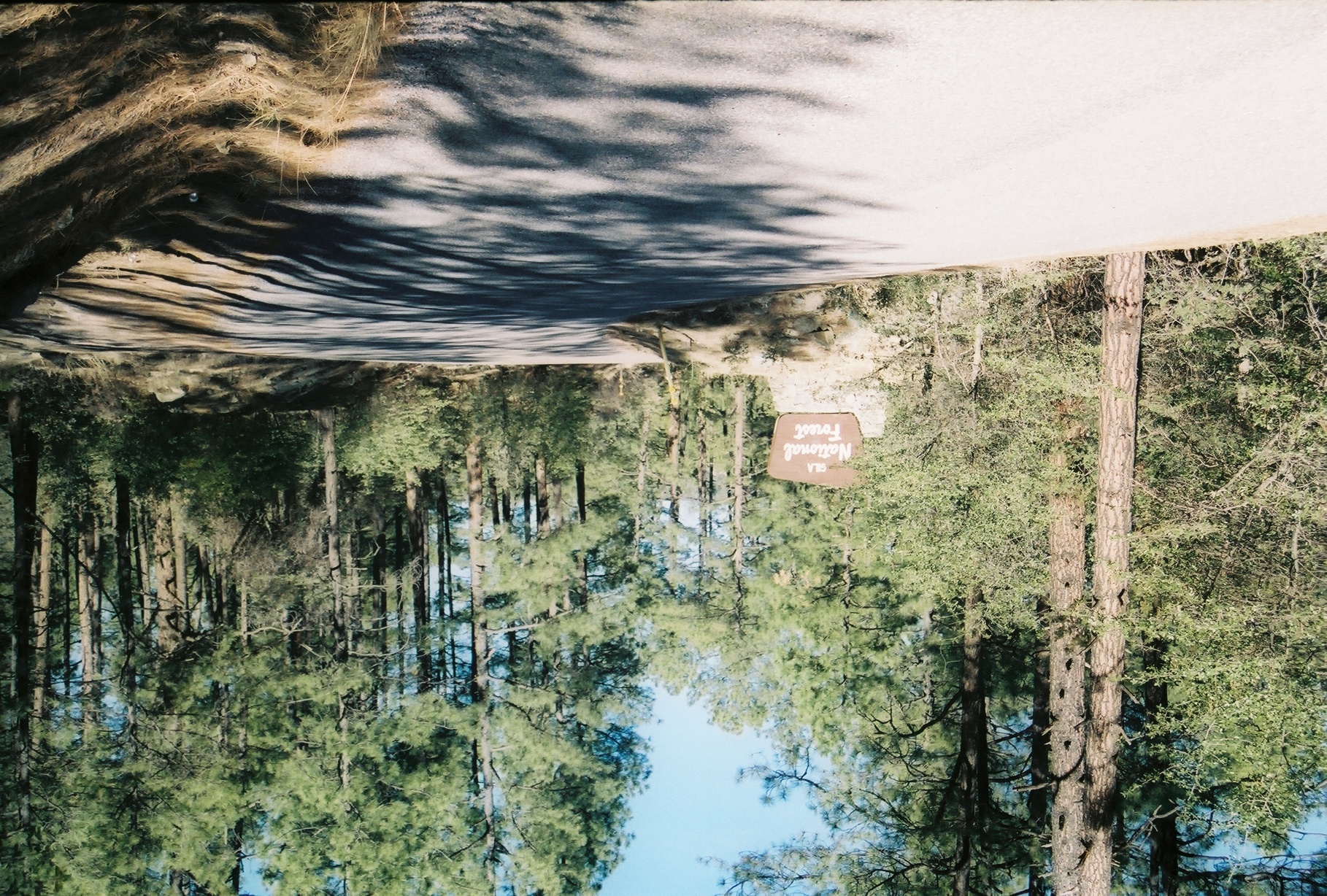
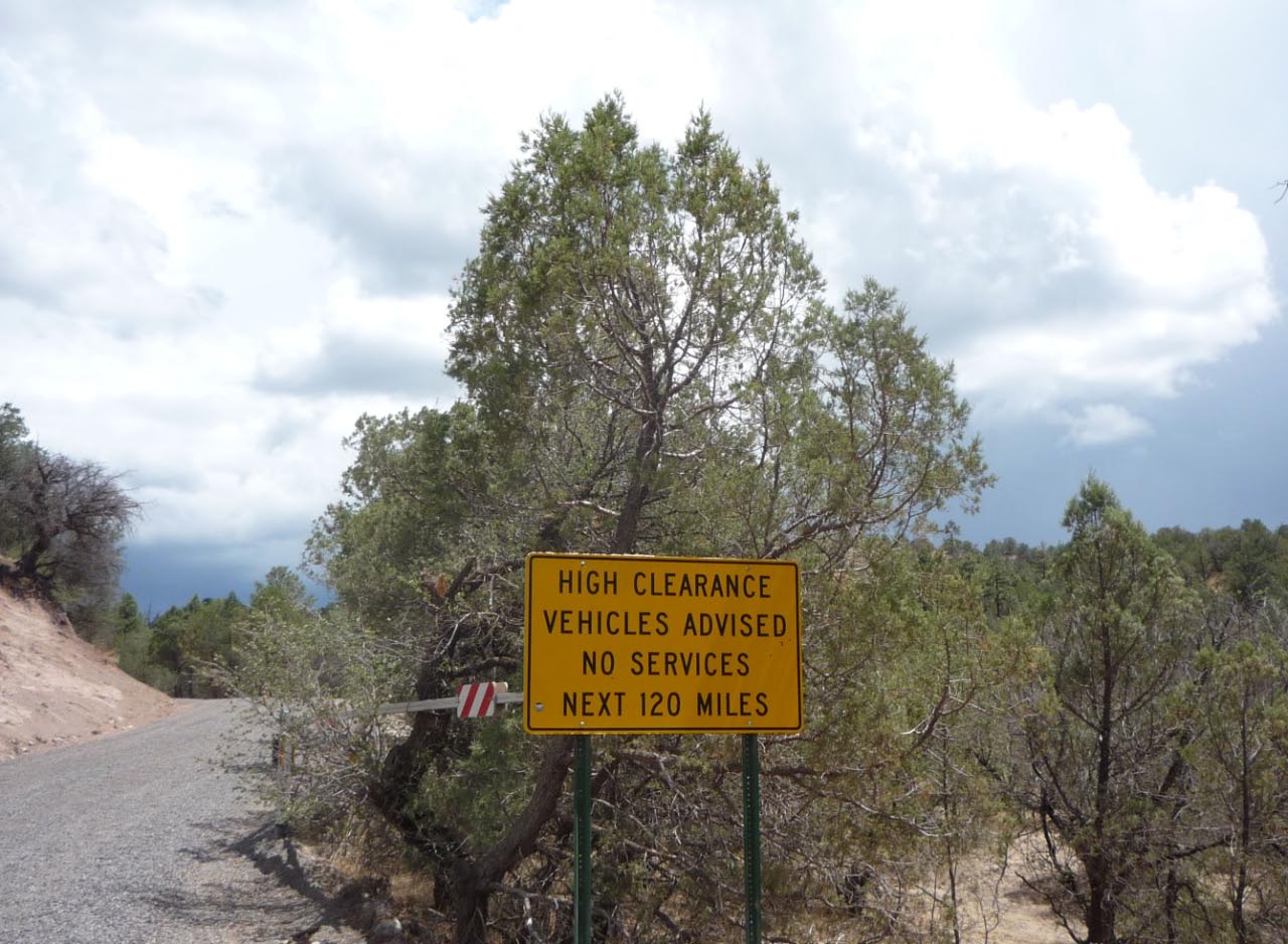
Gila National Forest
Gila National Forest
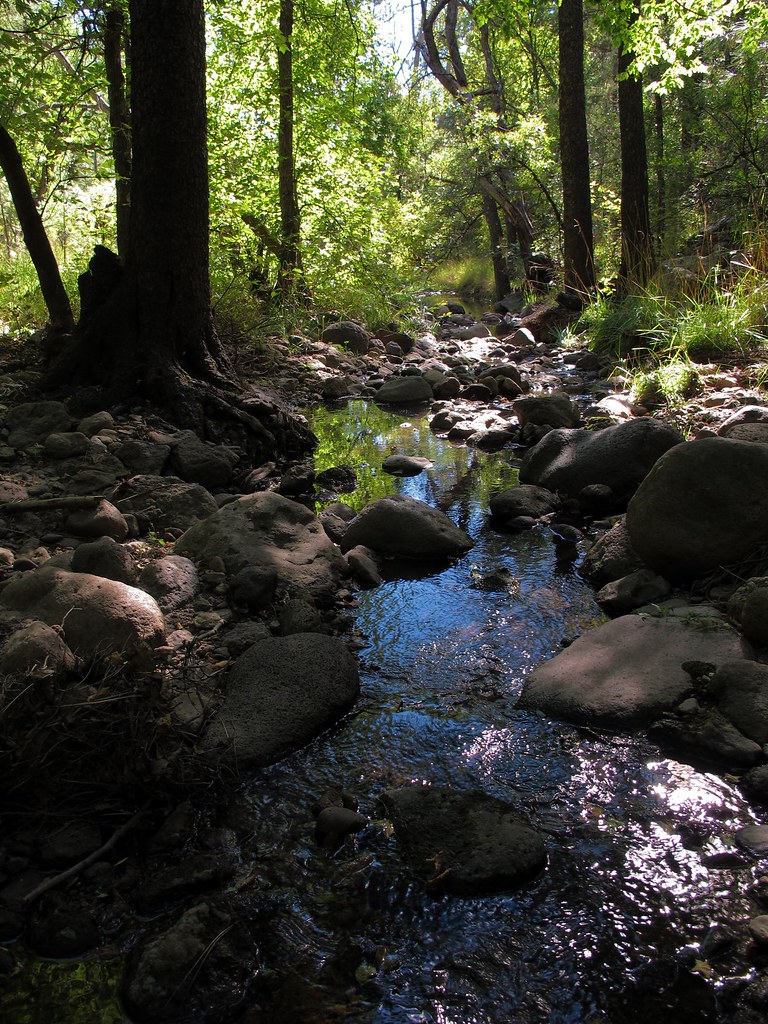
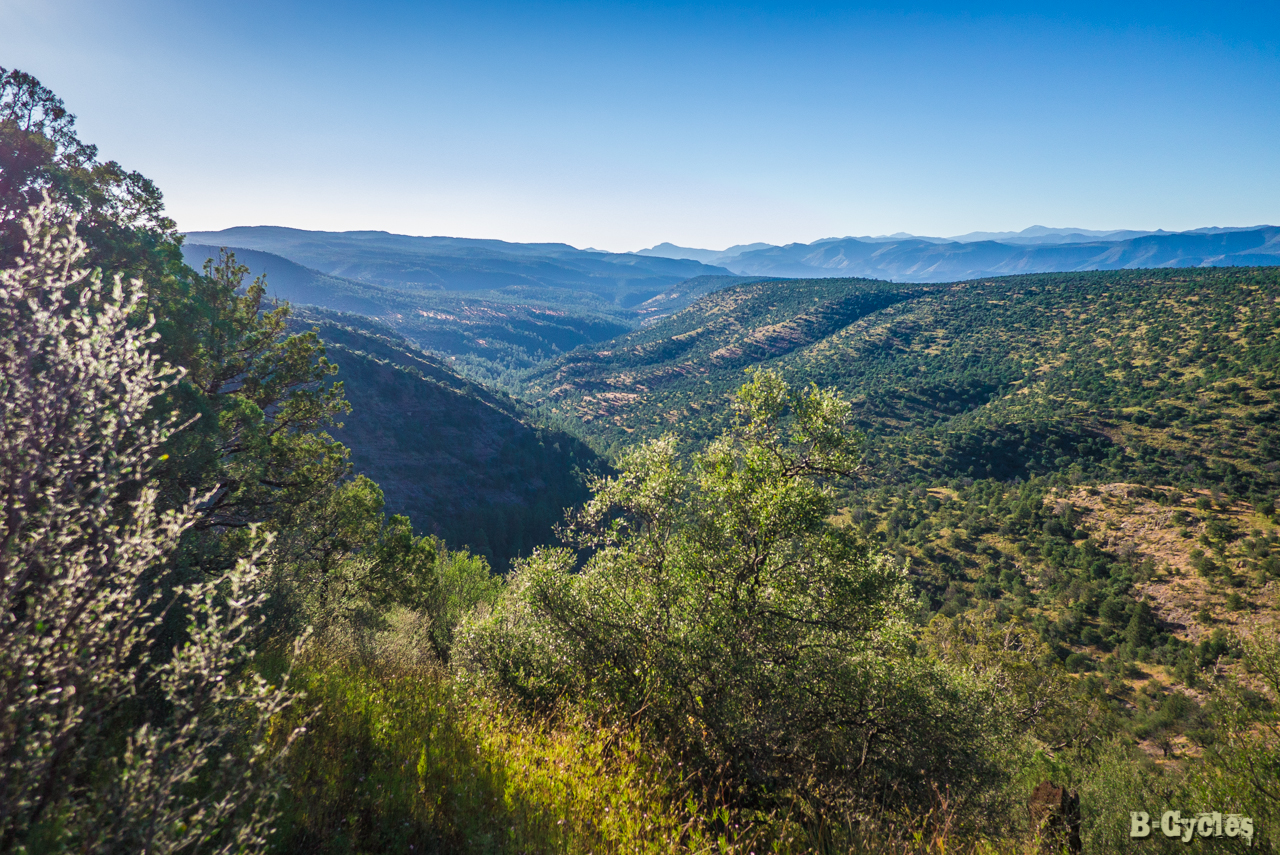
Looking across Cherry Creek
CDT section 01
CDT Section01
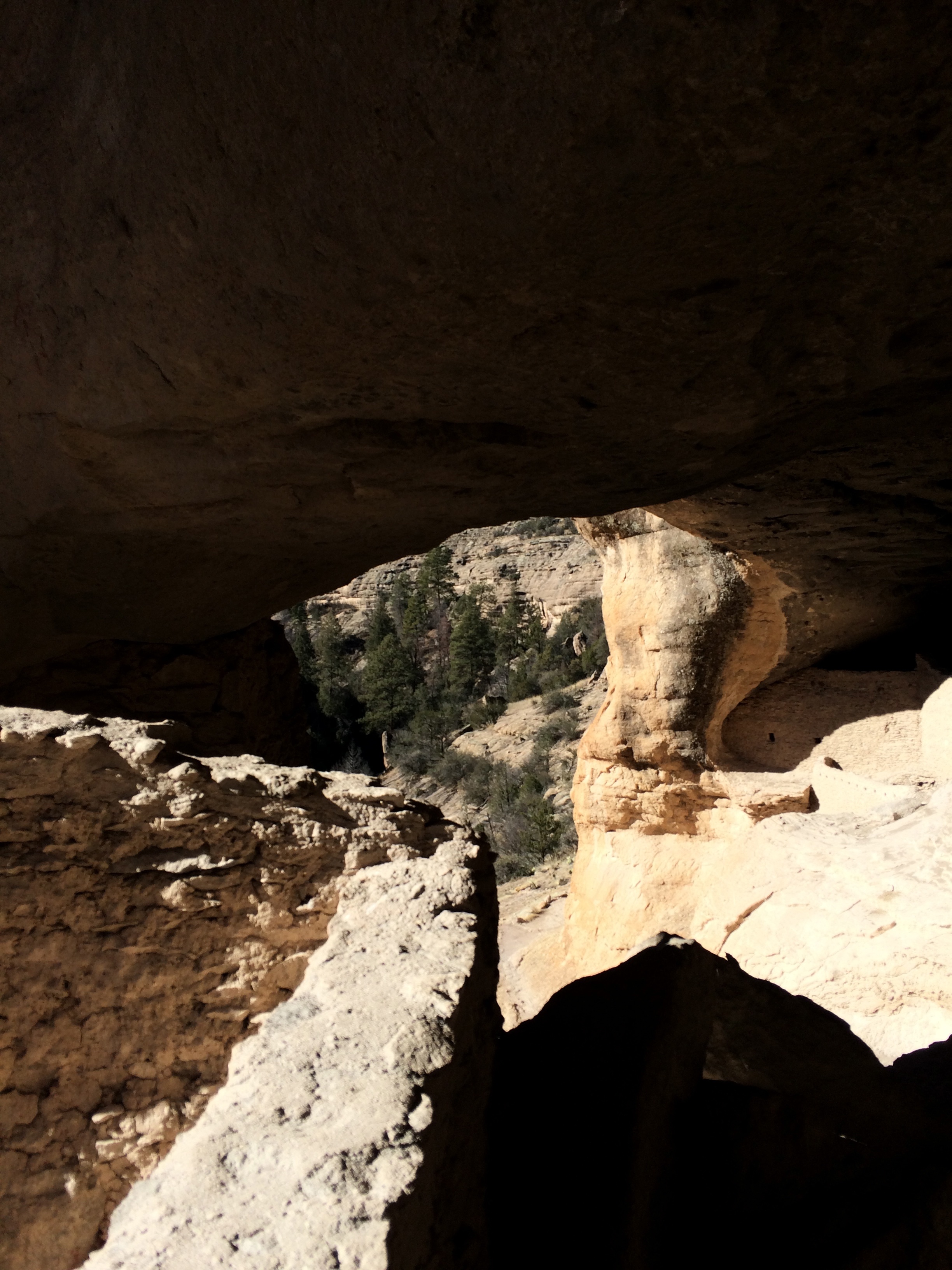
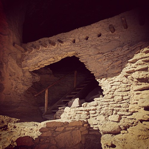
Gila Cliff Dwellings
Gila National Forest
flickr-20141001-_1000500.jpg
Oldstagram of the entrance to Gila Cliff Dwelling National Monument
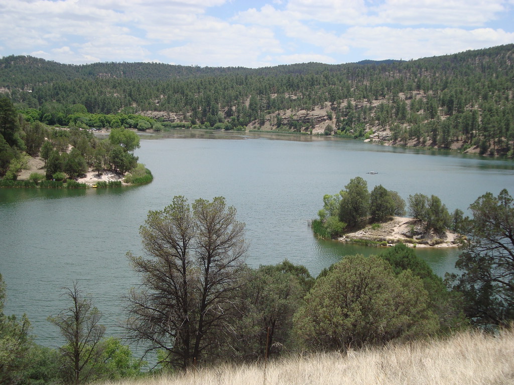
lake roberts
Gila National Forest, New Mexico
RioG-132

AZ &NM Pics 108
untitled shoot-3781

AZ &NM Pics 107
untitled shoot-3779
Topographic Map of Grant County, NM, USA
Find elevation by address:

Places in Grant County, NM, USA:
Buckhorn
Hurley
Bayard
Pinos Altos
Arenas Valley Rd, Arenas Valley, NM, USA
Hurley
Hurley
W Fork Rd, Mimbres, NM, USA
San Lorenzo
Mimbres
Santa Clara
Lake Roberts
Places near Grant County, NM, USA:
Mcmillan Campground
Silver City, NM, USA
Cherry Creek Canyon
Grey Feathers Lodge & Restaurant
13 Mulberry Dr
Lake Roberts
Black Peak
Mesa Campground
Pinos Altos
558 Nm-35
Sapillo Campground
3603 Los Encinos
13 Elias Rd
Arenas Valley Rd, Arenas Valley, NM, USA
2040 Memory Ln
29 Logan St
311 N Bullard St
Rosedale Road
Silver City
Santa Clara
Recent Searches:
- Elevation of Corso Fratelli Cairoli, 35, Macerata MC, Italy
- Elevation of Tallevast Rd, Sarasota, FL, USA
- Elevation of 4th St E, Sonoma, CA, USA
- Elevation of Black Hollow Rd, Pennsdale, PA, USA
- Elevation of Oakland Ave, Williamsport, PA, USA
- Elevation of Pedrógão Grande, Portugal
- Elevation of Klee Dr, Martinsburg, WV, USA
- Elevation of Via Roma, Pieranica CR, Italy
- Elevation of Tavkvetili Mountain, Georgia
- Elevation of Hartfords Bluff Cir, Mt Pleasant, SC, USA