Elevation of 13 Elias Rd, Arenas Valley, NM, USA
Location: United States > New Mexico > Grant County >
Longitude: -108.1857131
Latitude: 32.7972793
Elevation: 1891m / 6204feet
Barometric Pressure: 0KPa
Related Photos:

Comet Lovejoy Through a Telescope

Shadows on the Fort Wall

Santa Rita

Enchantment Discovered

Saturday at the Blues Festival
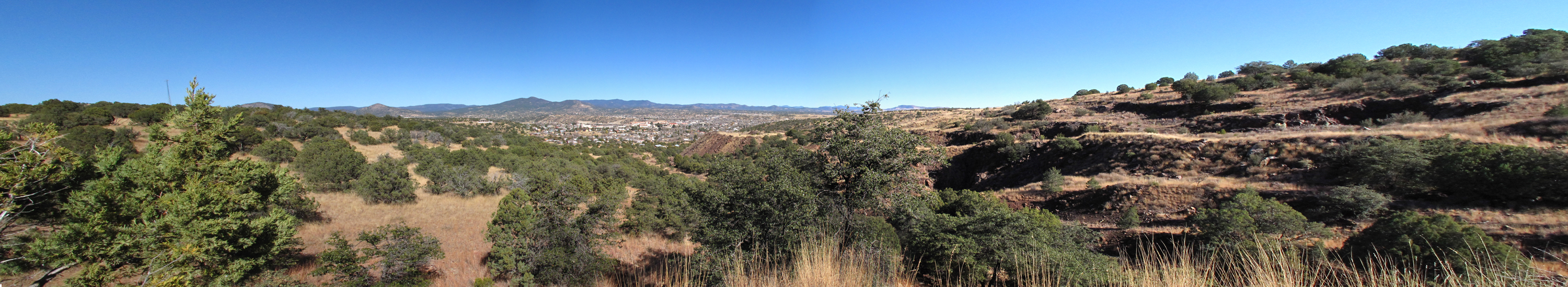
View from the top

Bird's Eye View
Old Santa Clara Church
Silver City, NM
Signal Peak Fire Tower
sc_boston_hill-002w.jpg

Silver City

St. Vincents II
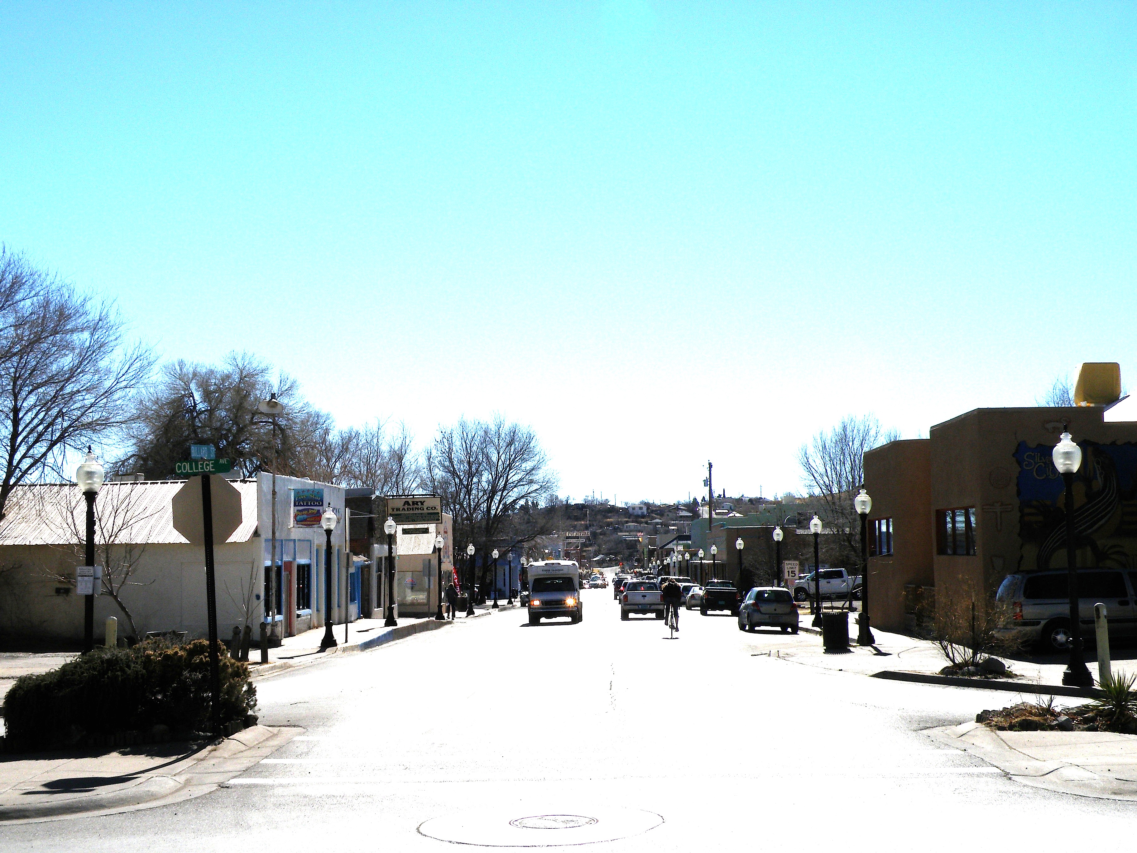
Looking down Bullard at midday
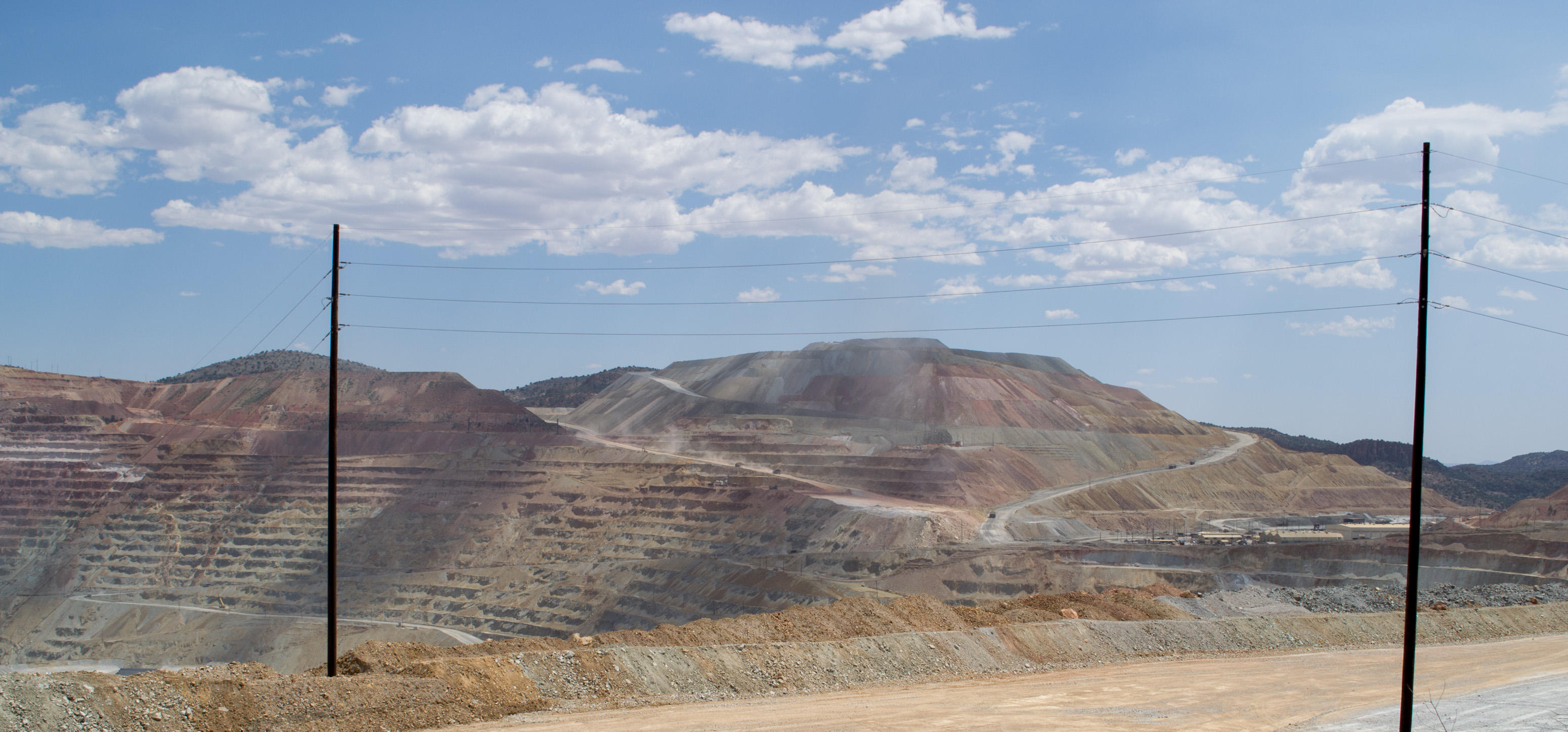
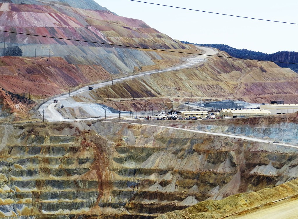
Santa Rita, NM Chino Mine (# 0809)
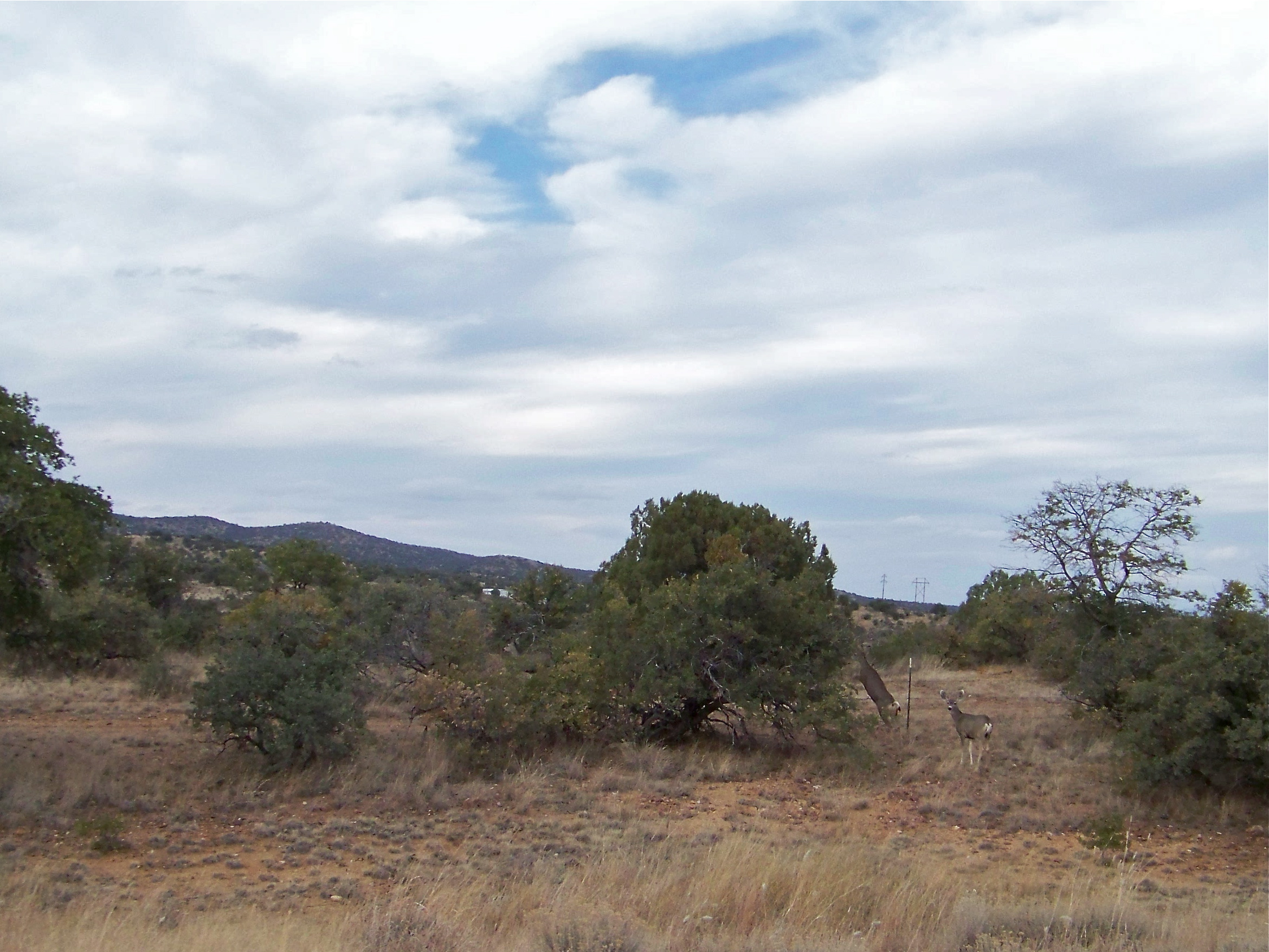
Mule Deer

Feast of Saint Clare Fiesta
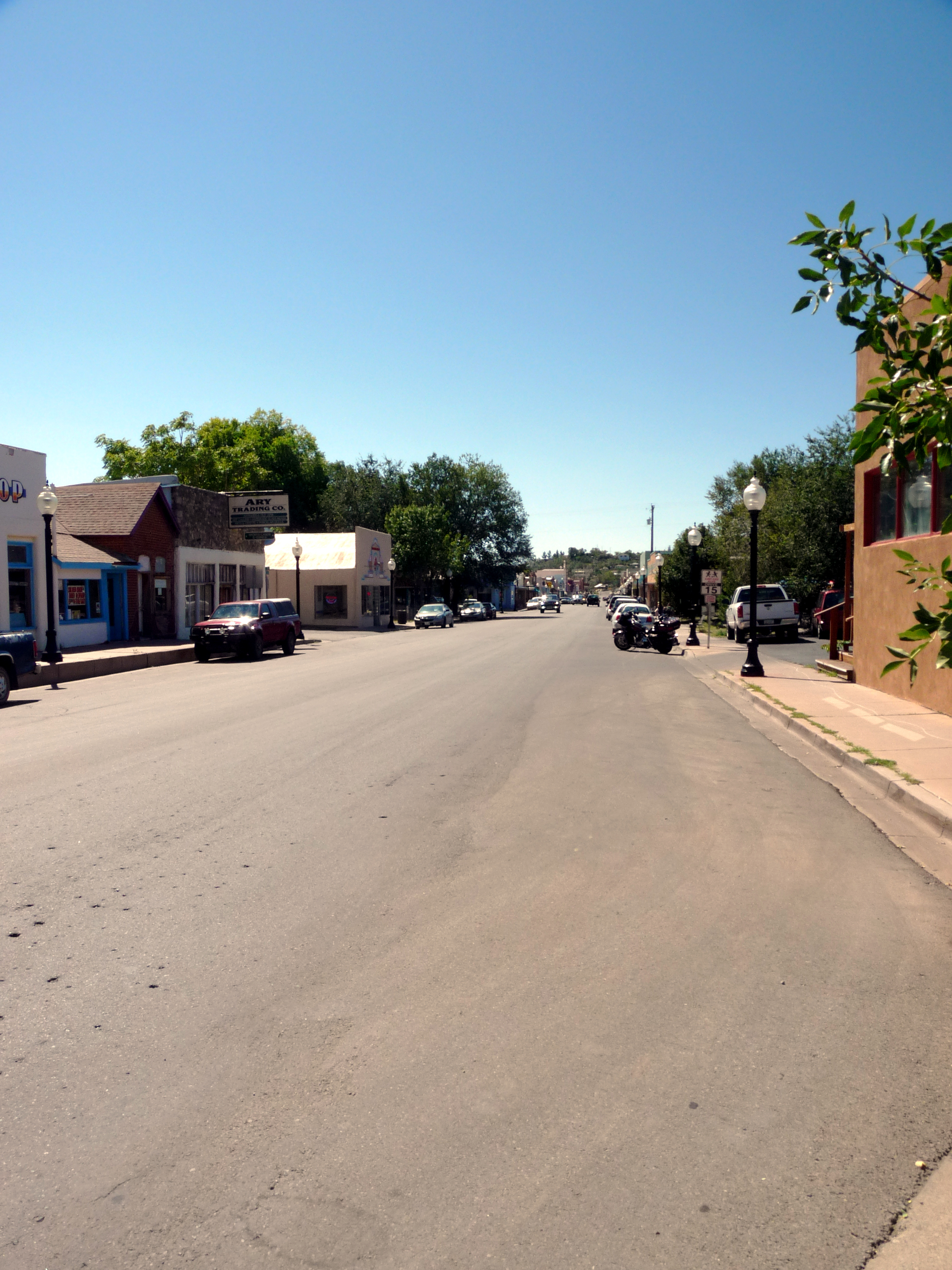
0317 New Mexico, Silver City, Street

Isaac's

Orion Rising over the Gila
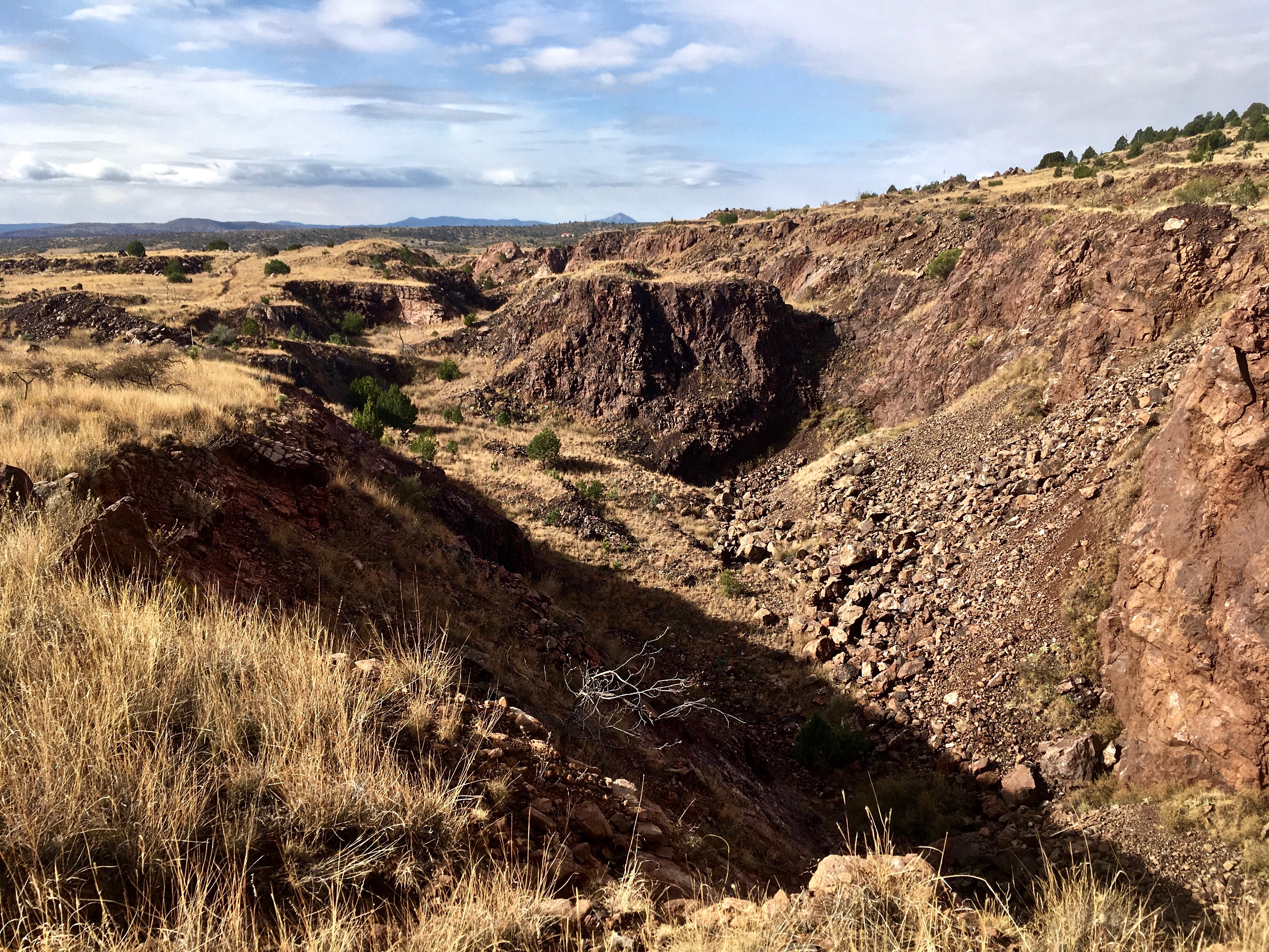
Chino copper mine

Looking up Boston Hill
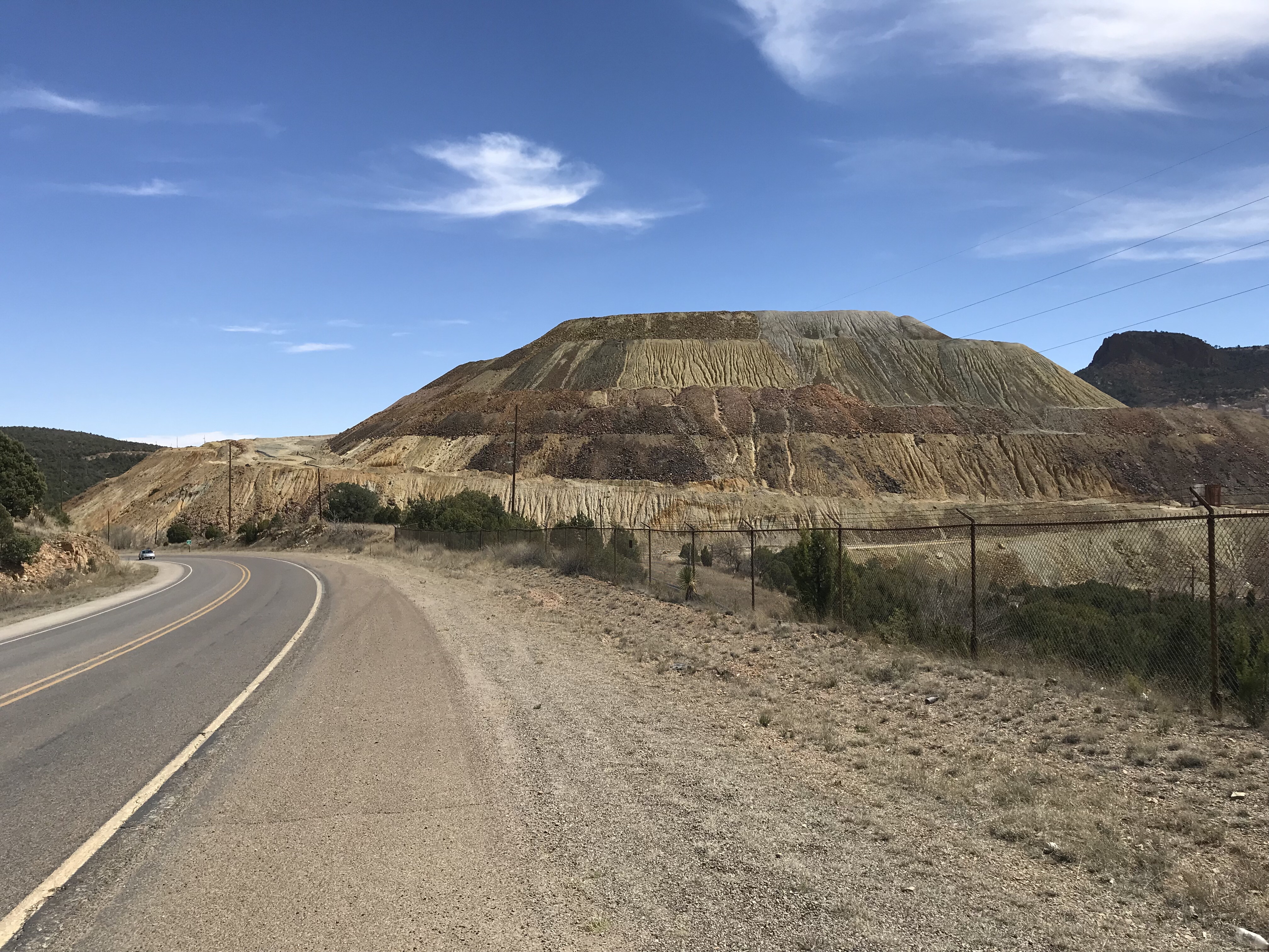
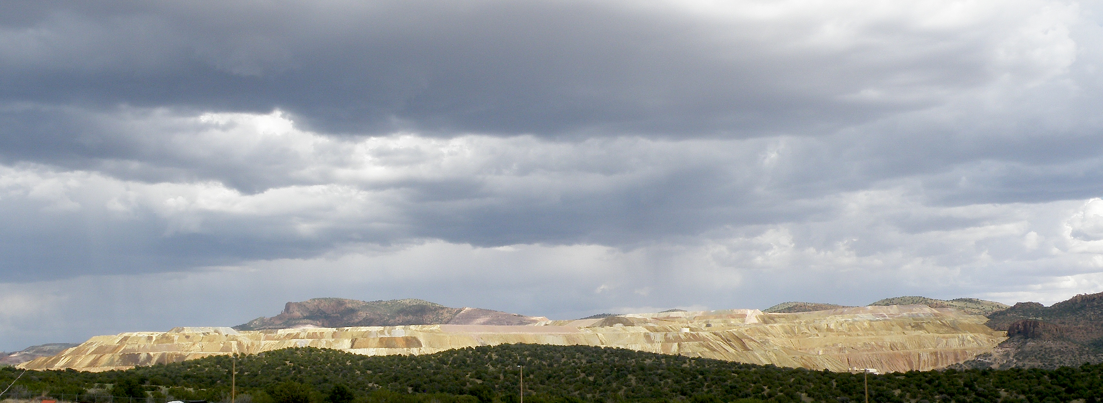
Santa Rita Mine, New Mexico

Santa Rita Mine, New Mexico
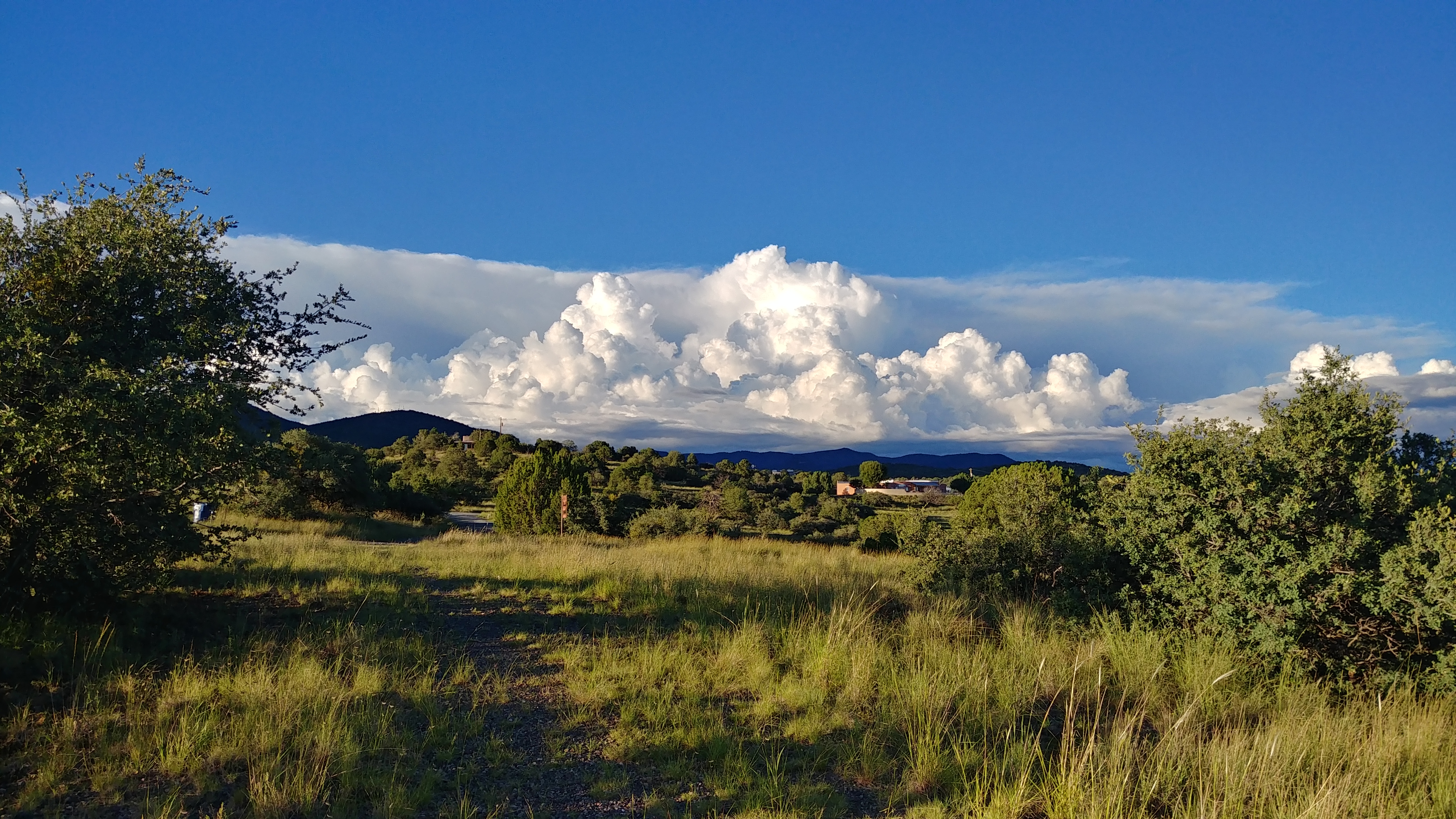
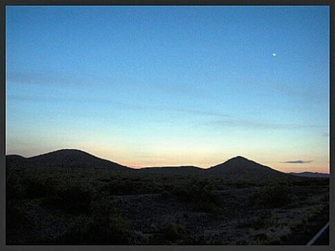
Evening Clouds
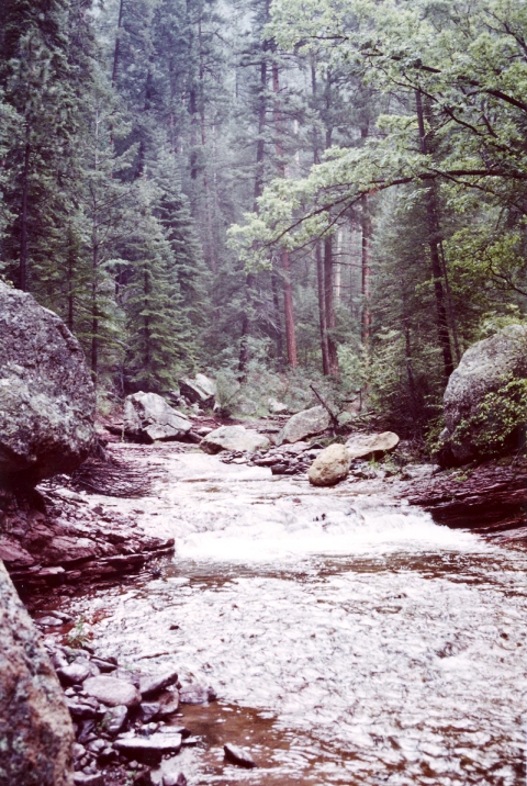
Gila National Wilderness
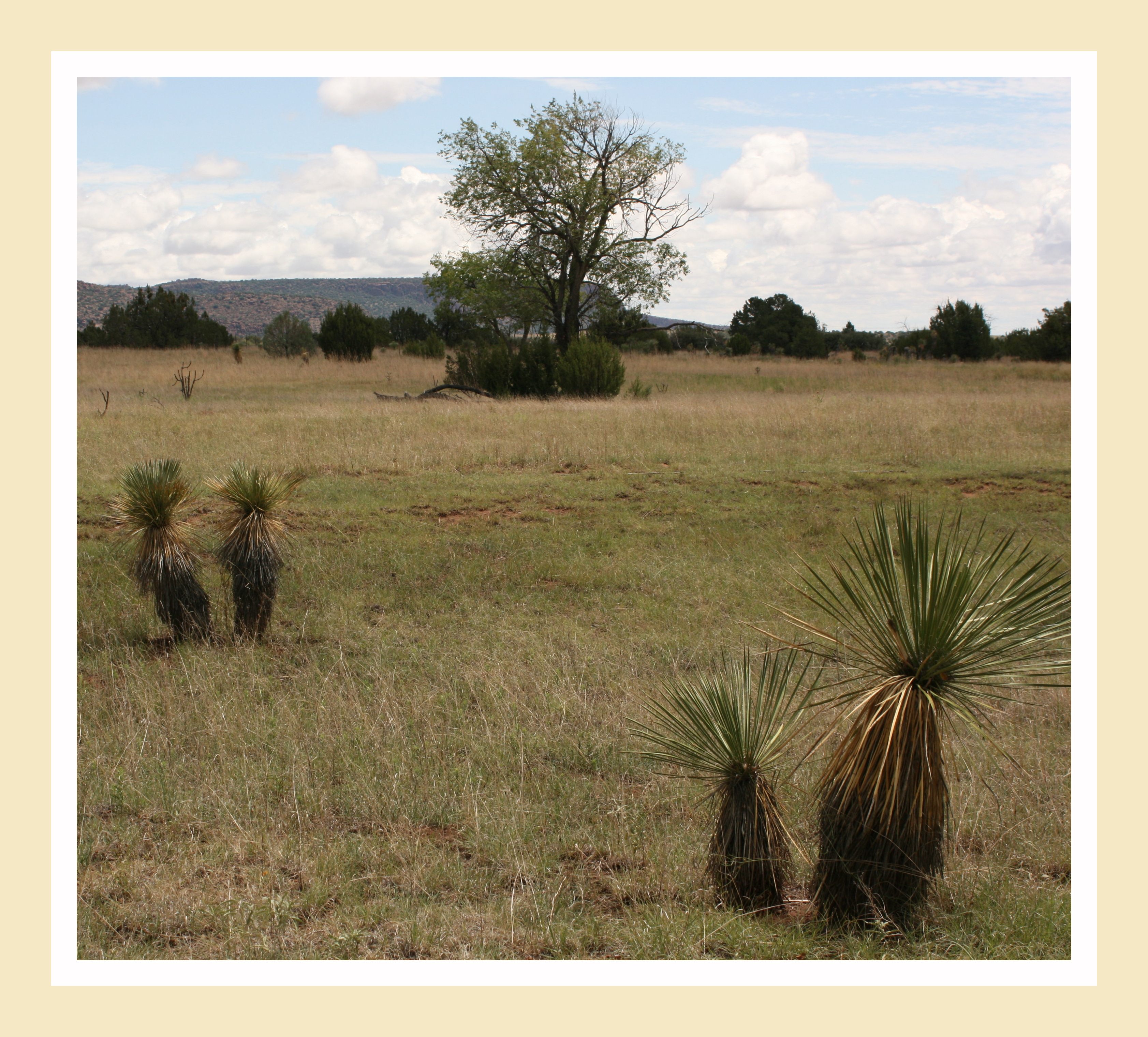
High Desert Vista

Santa Rita Mine, New Mexico
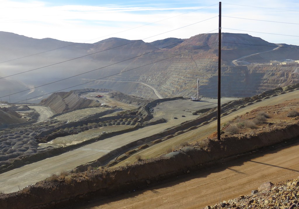
Santa Rita Mine (Grant County, New Mexico)
The last stretch to the Mexican border. Antilope Wells. Day on day 2013 Tour Divide flashback #bikepacking #tourdivide #mtb #mountainbike #gravel #antelopewells #newmexico #ot
Chino Mine
Boston Hill, Silver City
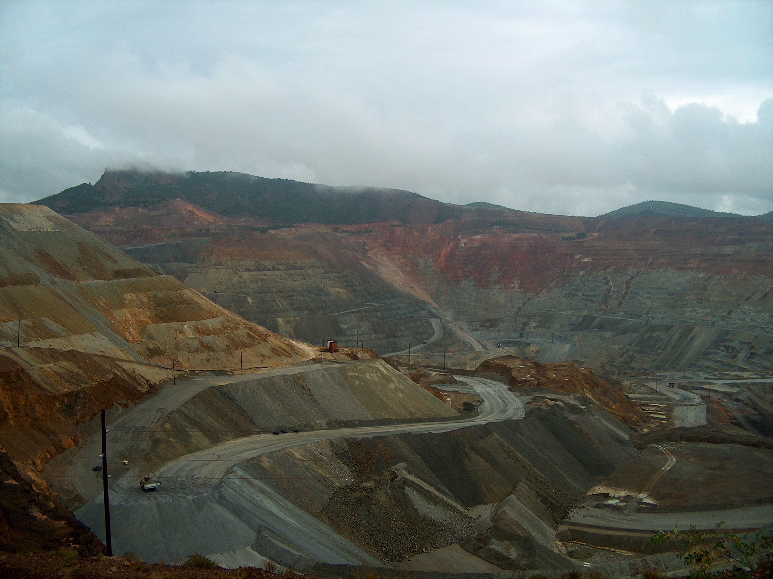
Santa Rita Copper Mine
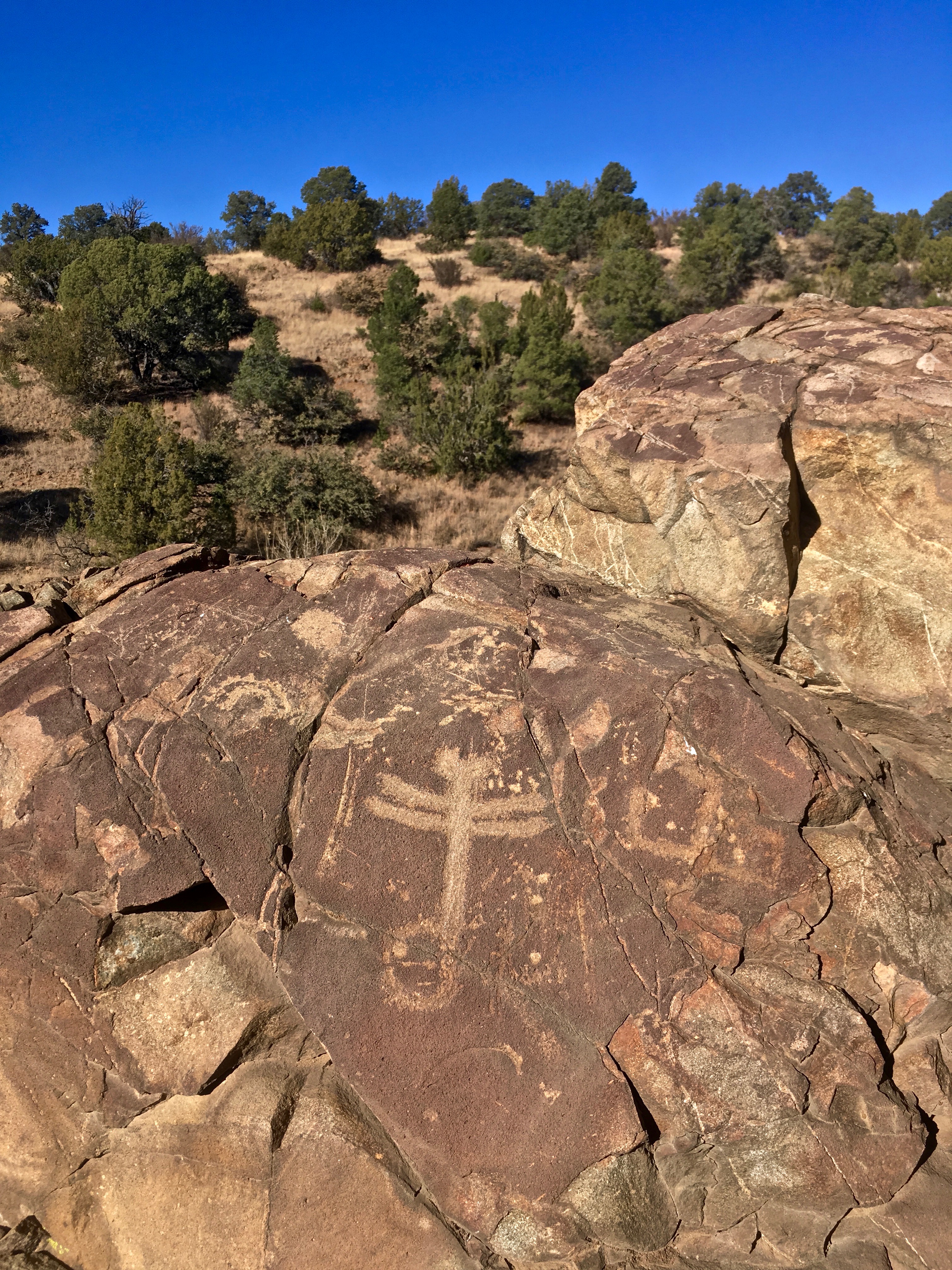
Dragonfly Petroglyph
Gila National Forest
Gila Regional Medical Center
2014 Phlox Trip to Arizona and New Mexico
Topographic Map of 13 Elias Rd, Arenas Valley, NM, USA
Find elevation by address:

Places near 13 Elias Rd, Arenas Valley, NM, USA:
Arenas Valley Rd, Arenas Valley, NM, USA
Santa Clara
29 Logan St
Rosedale Road
Davis St, Bayard, NM, USA
Bayard
2040 Memory Ln
Pinos Altos
3603 Los Encinos
8 Mum St, Hurley, NM, USA
311 N Bullard St
Hanover
Silver City
1810 Ridge Rd
Fierro Rd, Hanover, NM, USA
Hurley
Hurley
Hurley
Mimbres
90 El Otro Lado Rd
Recent Searches:
- Elevation map of Litang County, Sichuan, China
- Elevation map of Madoi County, Qinghai, China
- Elevation of 3314, Ohio State Route 114, Payne, Paulding County, Ohio, 45880, USA
- Elevation of Sarahills Drive, Saratoga, Santa Clara County, California, 95070, USA
- Elevation of Town of Bombay, Franklin County, New York, USA
- Elevation of 9, Convent Lane, Center Moriches, Suffolk County, New York, 11934, USA
- Elevation of Saint Angelas Convent, 9, Convent Lane, Center Moriches, Suffolk County, New York, 11934, USA
- Elevation of 131st Street Southwest, Mukilteo, Snohomish County, Washington, 98275, USA
- Elevation of 304, Harrison Road, Naples, Cumberland County, Maine, 04055, USA
- Elevation of 2362, Timber Ridge Road, Harrisburg, Cabarrus County, North Carolina, 28075, USA
- Elevation of Ridge Road, Marshalltown, Marshall County, Iowa, 50158, USA
- Elevation of 2459, Misty Shadows Drive, Pigeon Forge, Sevier County, Tennessee, 37862, USA
- Elevation of 8043, Brightwater Way, Spring Hill, Williamson County, Tennessee, 37179, USA
- Elevation of Starkweather Road, San Luis, Costilla County, Colorado, 81152, USA
- Elevation of 5277, Woodside Drive, Baton Rouge, East Baton Rouge Parish, Louisiana, 70808, USA
- Elevation of 1139, Curtin Street, Shepherd Park Plaza, Houston, Harris County, Texas, 77018, USA
- Elevation of 136, Sellers Lane, Repton, Monroe County, Alabama, 36475, USA
- Elevation of 12914, Elmington Drive, Lakewood Forest, Houston, Harris County, Texas, 77429, USA
- Elevation of 417, Camelot Drive, Statesville, Iredell County, North Carolina, 28625, USA
- Elevation of 5792, Wildridge Road, Avon, Eagle County, Colorado, 81620, USA