Elevation of Davis St, Bayard, NM, USA
Location: United States > New Mexico > Grant County > Bayard >

Longitude: -108.13093

Latitude: 32.7617161

Elevation: 1775m / 5823feet

Barometric Pressure: 82KPa

Elevation Map:

elevation map of Davis St, Bayard, NM, USA

Satellite Map:

Satellite map of Davis St, Bayard, NM, USA

Related Photos:

canada telescope alberta comet tmb january6 canon6d cometlovejoy c2014q2
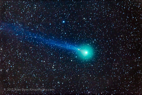
Comet Lovejoy Through a Telescope
shadow newmexico southwest tree history window silhouette architecture fort military historic mining adobe nm sunlit defense pinosaltos adobebricks santaritadelcobrefort
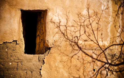
Shadows on the Fort Wall
nm silvercity
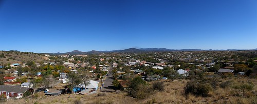
Silver City, NM
stairwell fortbayard commandantshouse
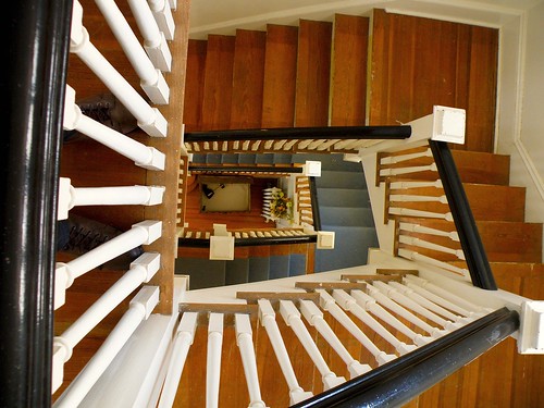
View from the top
bluesfestival silvercitynm silvercitybluesfestival
Saturday at the Blues Festival
newmexico silver mining silvercity gilanationalforest chinomine nmtemp
Silver City, NM 3178a
newmexico silvercity bostonhill
sc_boston_hill-002w.jpg
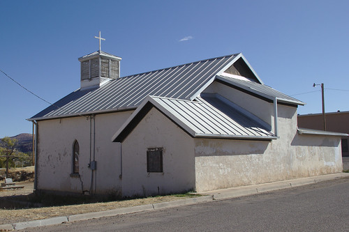
Old Santa Clara Church
newmexico lomo downtown nm silvercity
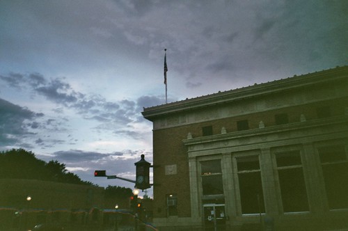
Silver City
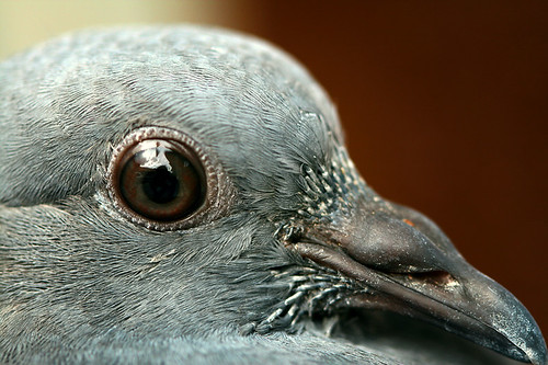
macro bird eye pigeon beak naturesfinest blueribbonwinner
Bird's Eye View
newmexico church silvercity
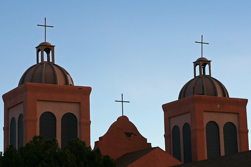
St. Vincents II
nm silvercity
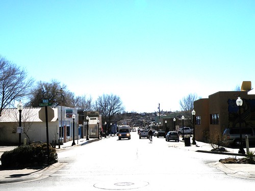
Looking down Bullard at midday
newmexico mammal wildlife deer
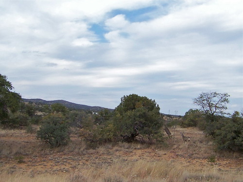
Mule Deer
vacation newmexico flight aerialview aerial airline copper hurley coppermine unitedairlines windowseat opencastmine zeesstof phoenixtohouston
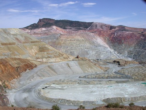
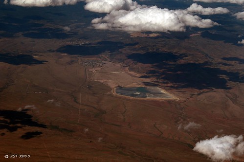
Copper Mine, Hurley, NM
feastofsantaclarafiesta santaclaranm
Feast of Saint Clare Fiesta
vacation newmexico us tour nm streetview silvercity 2011
0317 New Mexico, Silver City, Street
newmexico spring bars restaurants 2010 silvercity spring2010 isaacsbargrill
Isaac's
new old mexico desert fort bayard
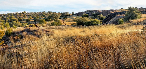
High Desert Vista
panorama newmexico boston mine desert pano hill vista pan silvercity
Looking up Boston Hill
new city panorama boston silver mexico desert pano hill pan
Silver City Panorama
sunset newmexico clouds silvercity
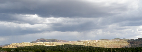
Big Clouds
coppermine chinomine grantcountynm
Chino Mine
newmexico 35mm mainstreet december roadtrip nm argusc3 argus 2013 ellenjo triptonewmexico argusrangefinder ellenjoroberts thebigditch sanvincentecreek
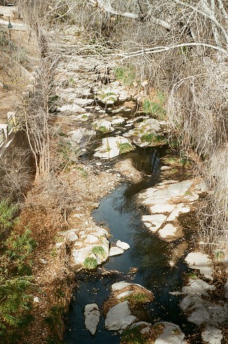
silver city san vincente creek up river
sunset moon newmexico silvercity
Moon Rising
newmexico santaritamine
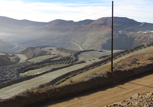
Santa Rita Mine, New Mexico
nm grantcounty
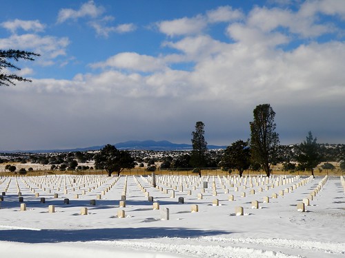
Fort Bayard National Cemetery
newmexico landscapes nm santarita grantcounty santaritamine
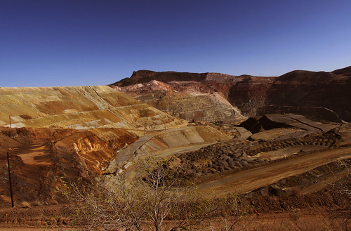
Santa Rita Mine (Grant County, New Mexico)
nm silvercity gilaregionalmedicalcenter
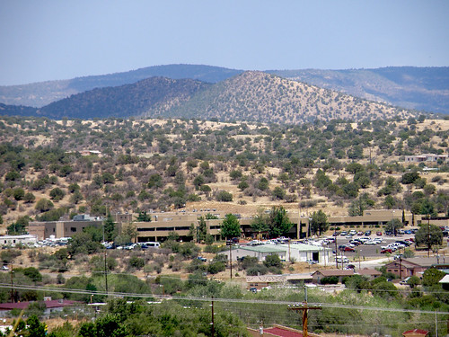
Gila Regional Medical Center
newmexico sunrise bearmountain nm silvercity wnmu bostonhill burromountains silvercityrange
SC-Full-Pano-20130517-001
square squareformat earlybird iphoneography instagramapp uploaded:by=instagram foursquare:venue=4bfaf8d6f214a5935395ae0e
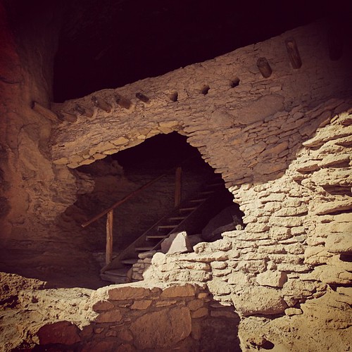
Oldstagram of the entrance to Gila Cliff Dwelling National Monument
newmexico cemetery gravestone 2014 uploaded:by=flickrmobile flickriosapp:filter=nofilter
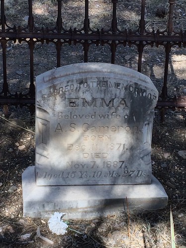
15yo Dead Wife in Georgetown Cemetery, New Mexico
southwest focus desert olympus manual omd em5 aerogami
Blue Shadows
newmexico 35mm december roadtrip nm argusc3 argus 2013 ellenjo triptonewmexico argusrangefinder ellenjoroberts
silver city san vincente creek
Full Silver City Pano just before Sunrise
santarita openpitcoppermine santaritanm
Santa Rita Copper Mine