Elevation of Ridge Rd, Silver City, NM, USA
Location: United States > New Mexico > Silver City >
Longitude: -108.27802
Latitude: 32.7532357
Elevation: 1834m / 6017feet
Barometric Pressure: 81KPa
Elevation Map:
Satellite Map:
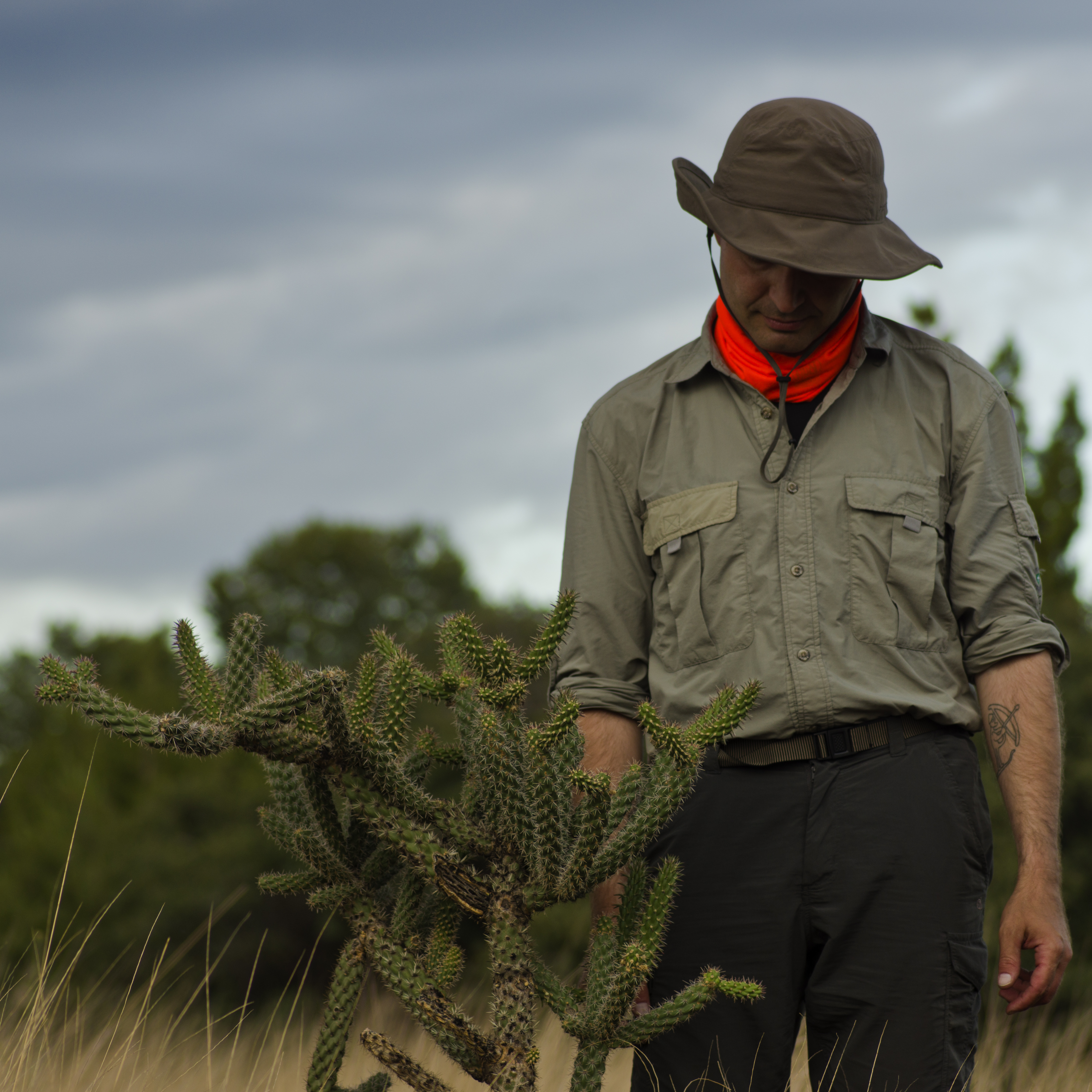
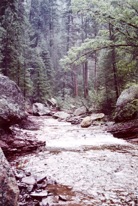
Related Photos:
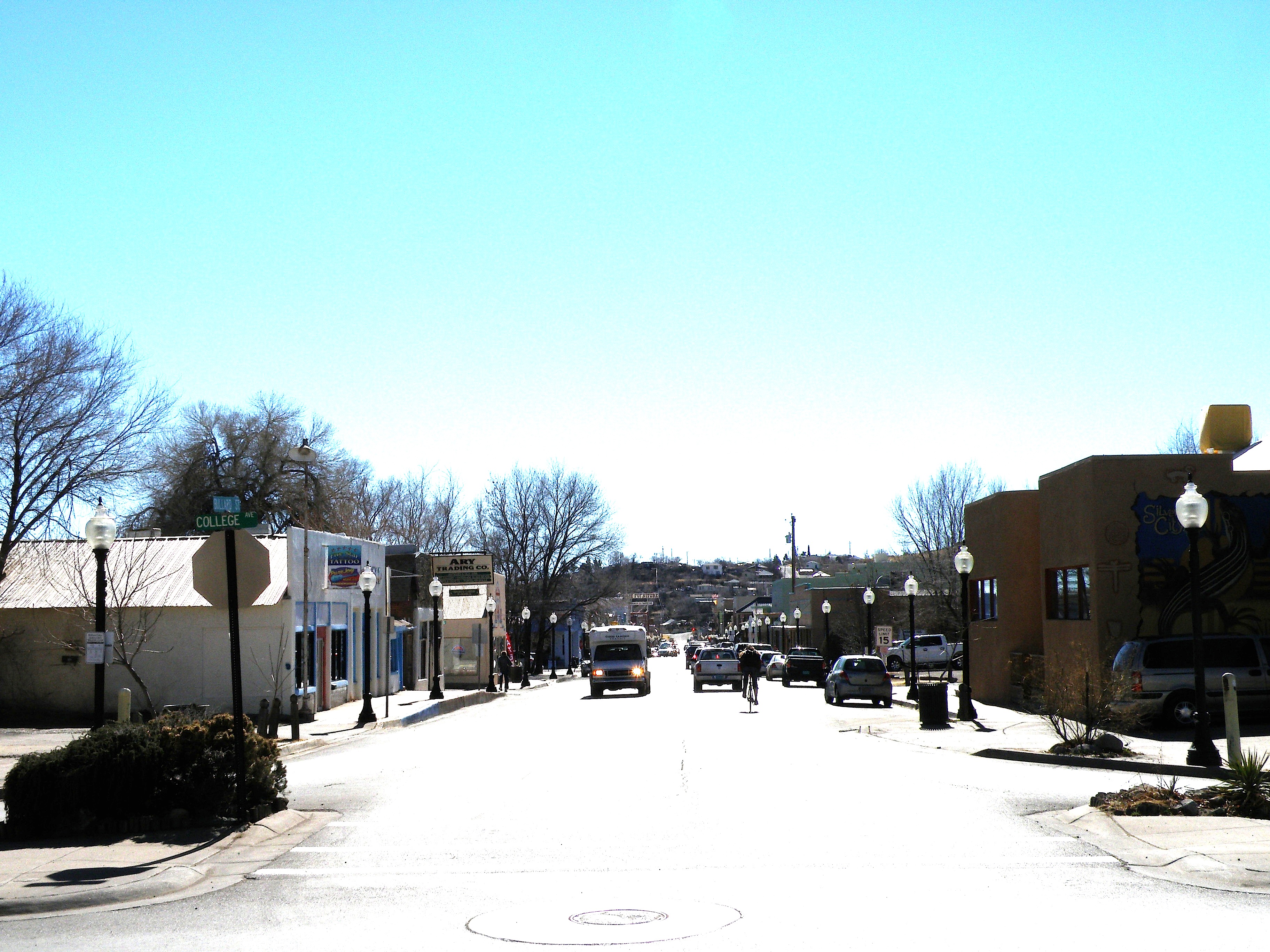
Looking down Bullard at midday
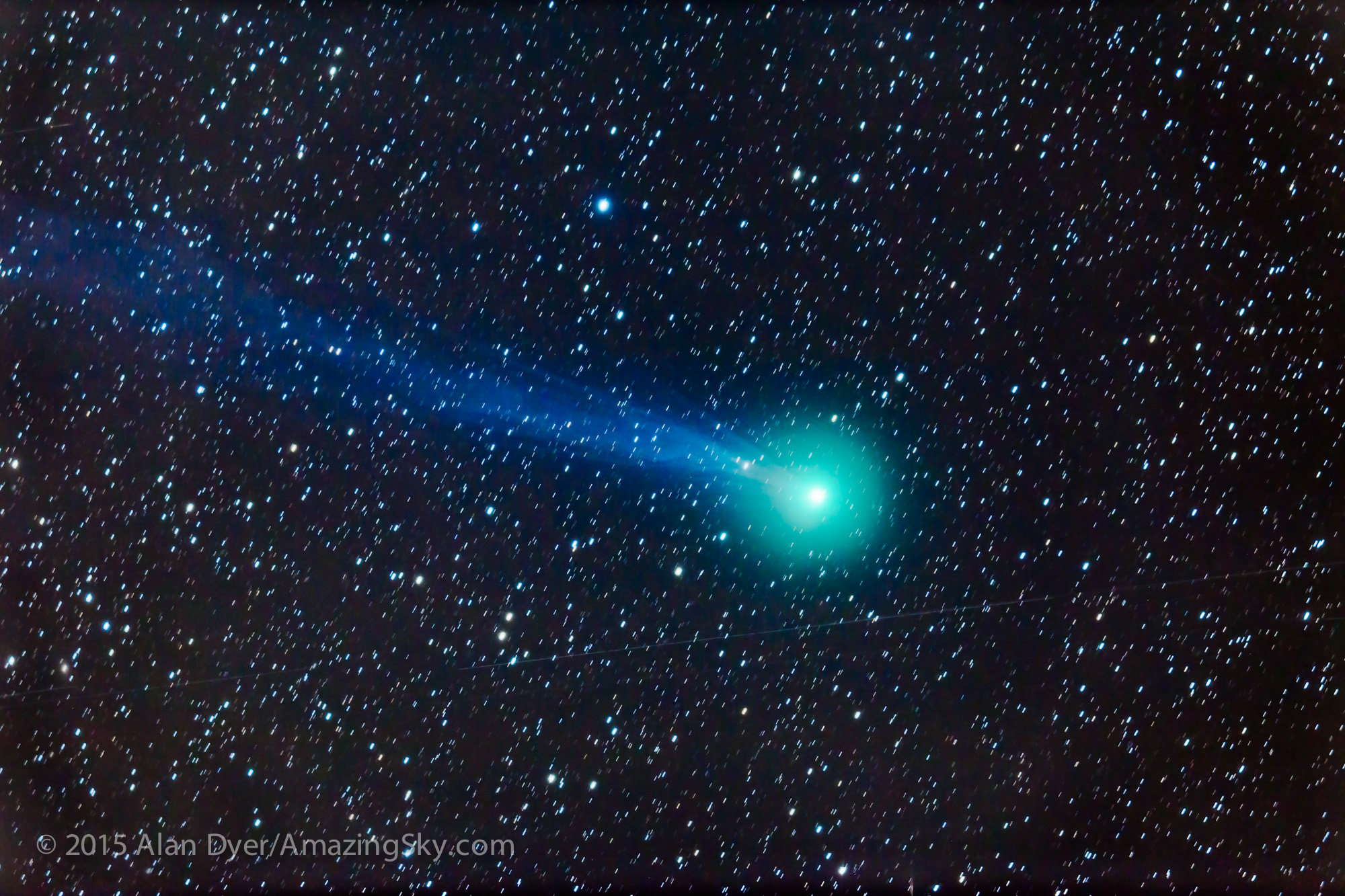
Comet Lovejoy Through a Telescope
Hurley, NM
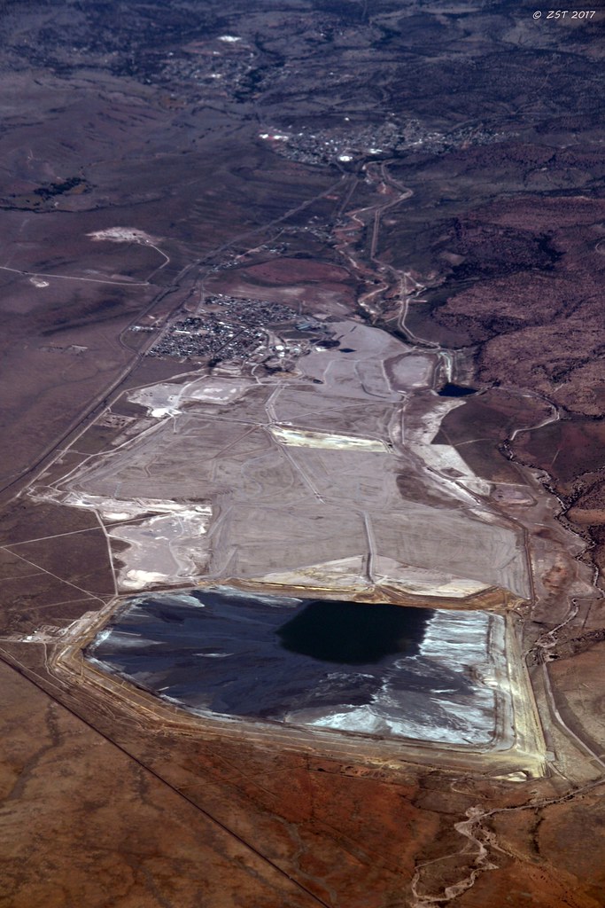
Phelps Dodge Mine, NM
Saturday at the Blues Festival
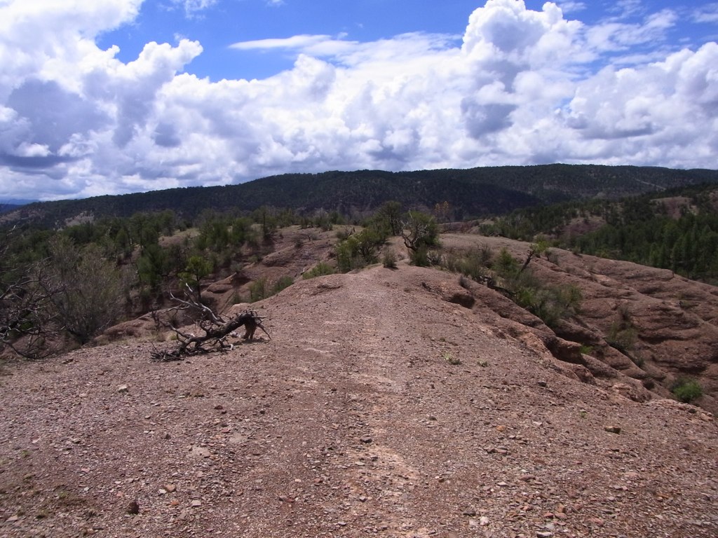
View from the top
Old Santa Clara Church
Silver City, NM
Bird's Eye View
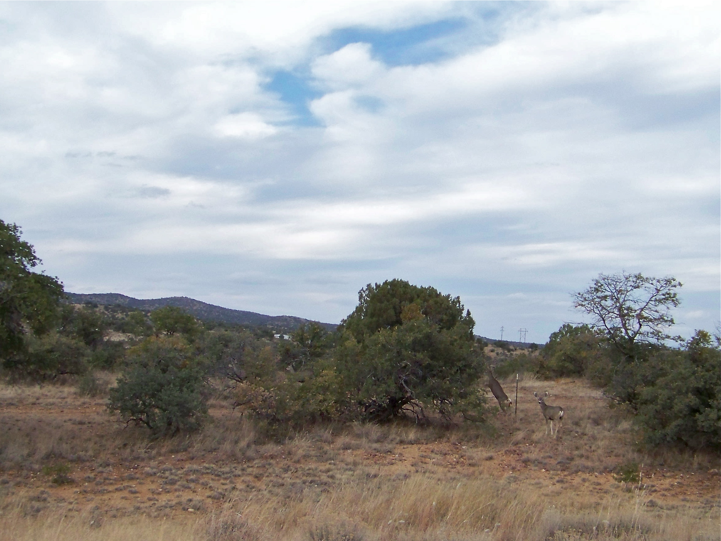
Mule Deer
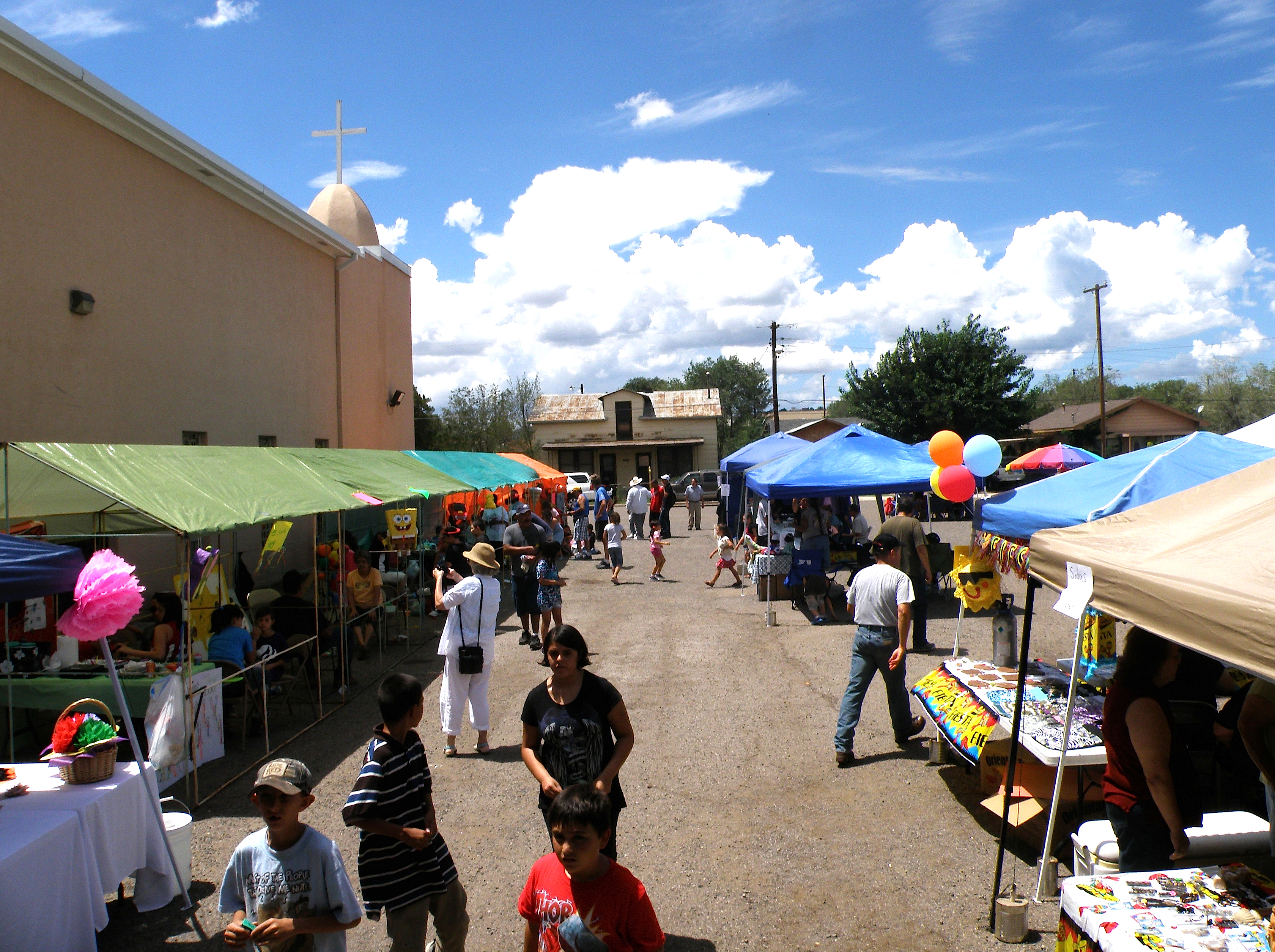
Feast of Saint Clare Fiesta
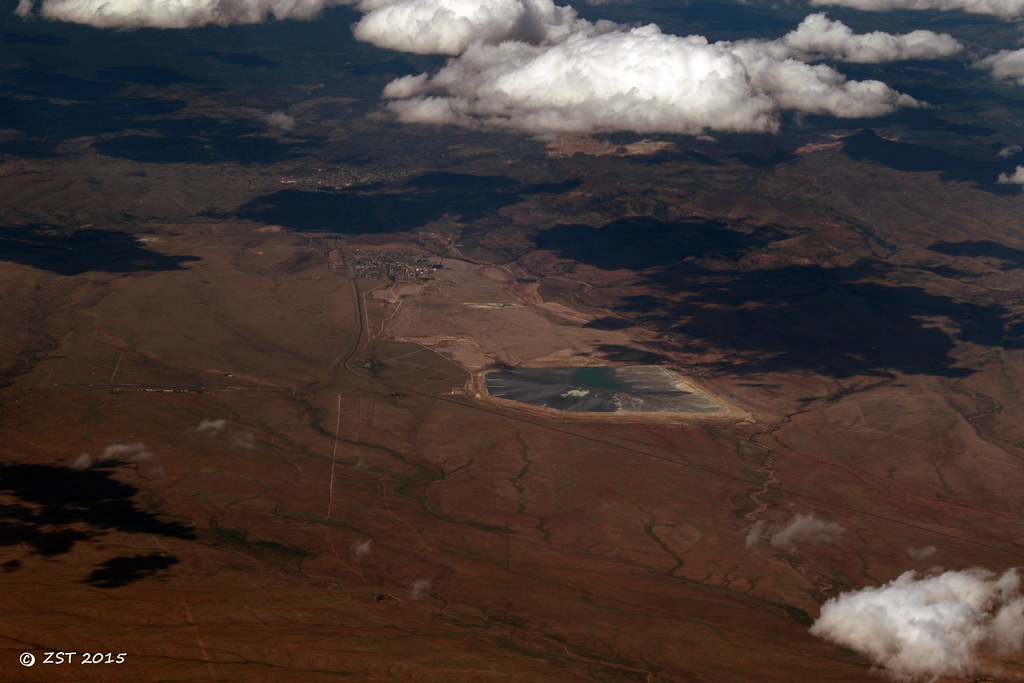
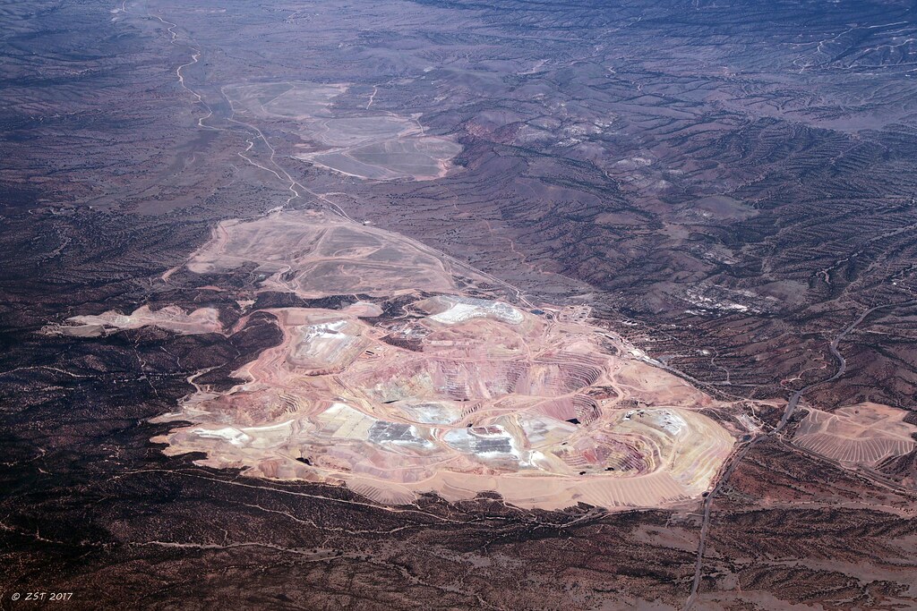
Copper Mine, Hurley, NM
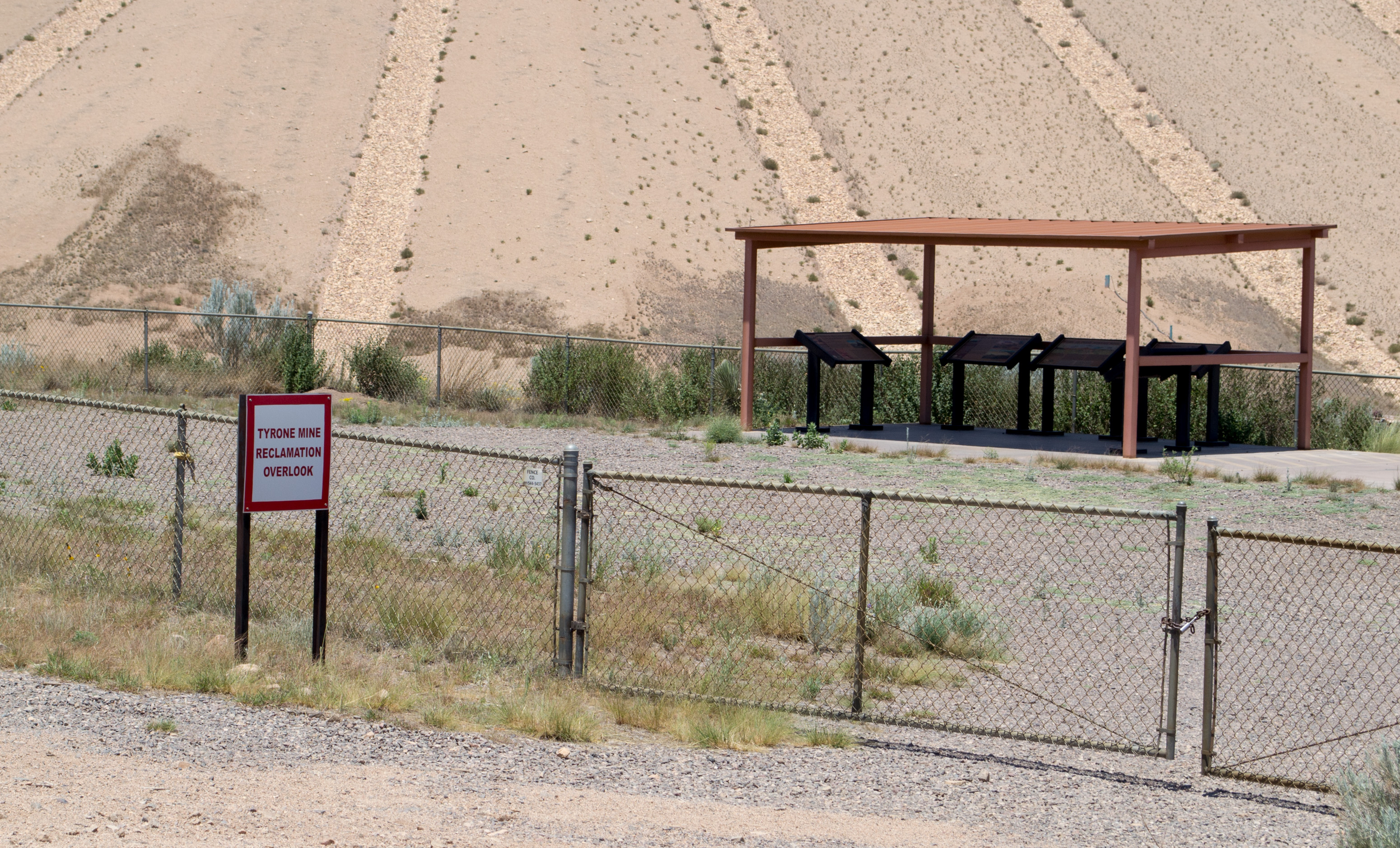
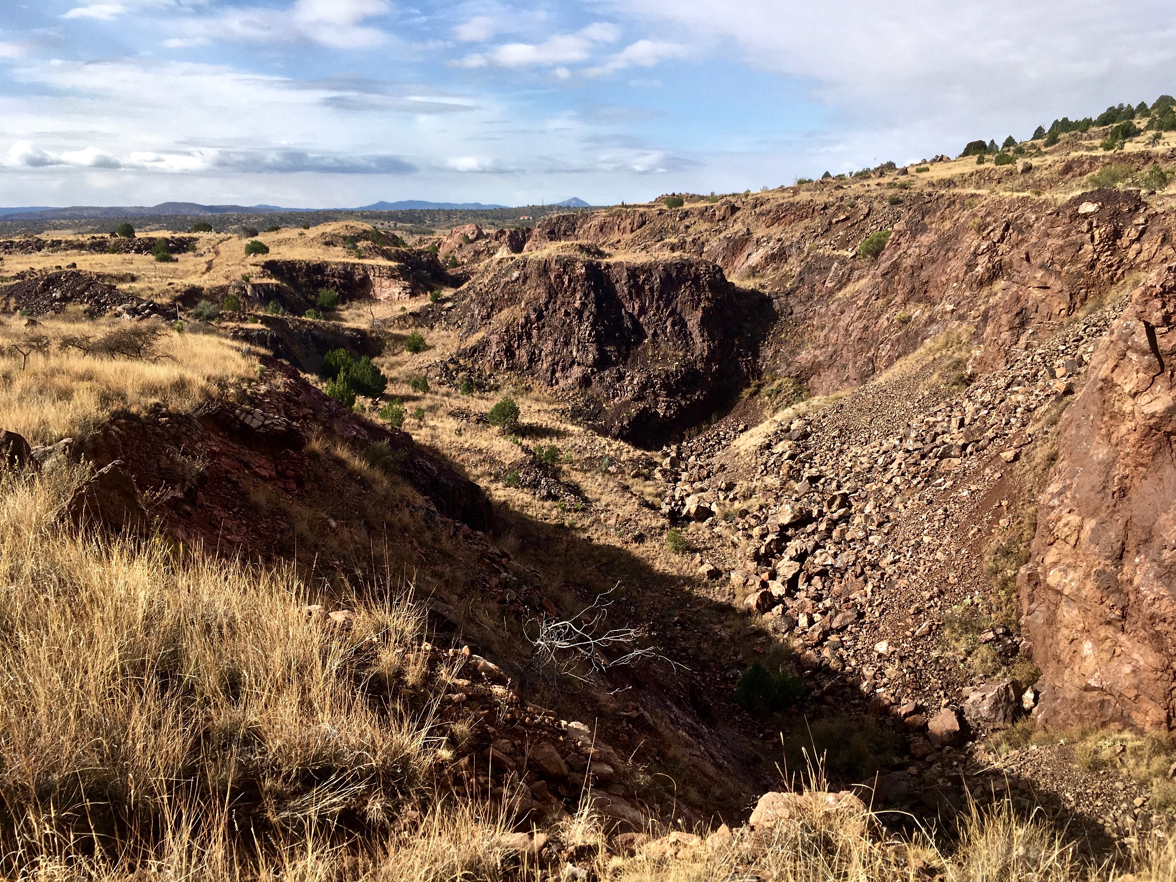
Tyrone Mine, NM reclamation (# 0789)
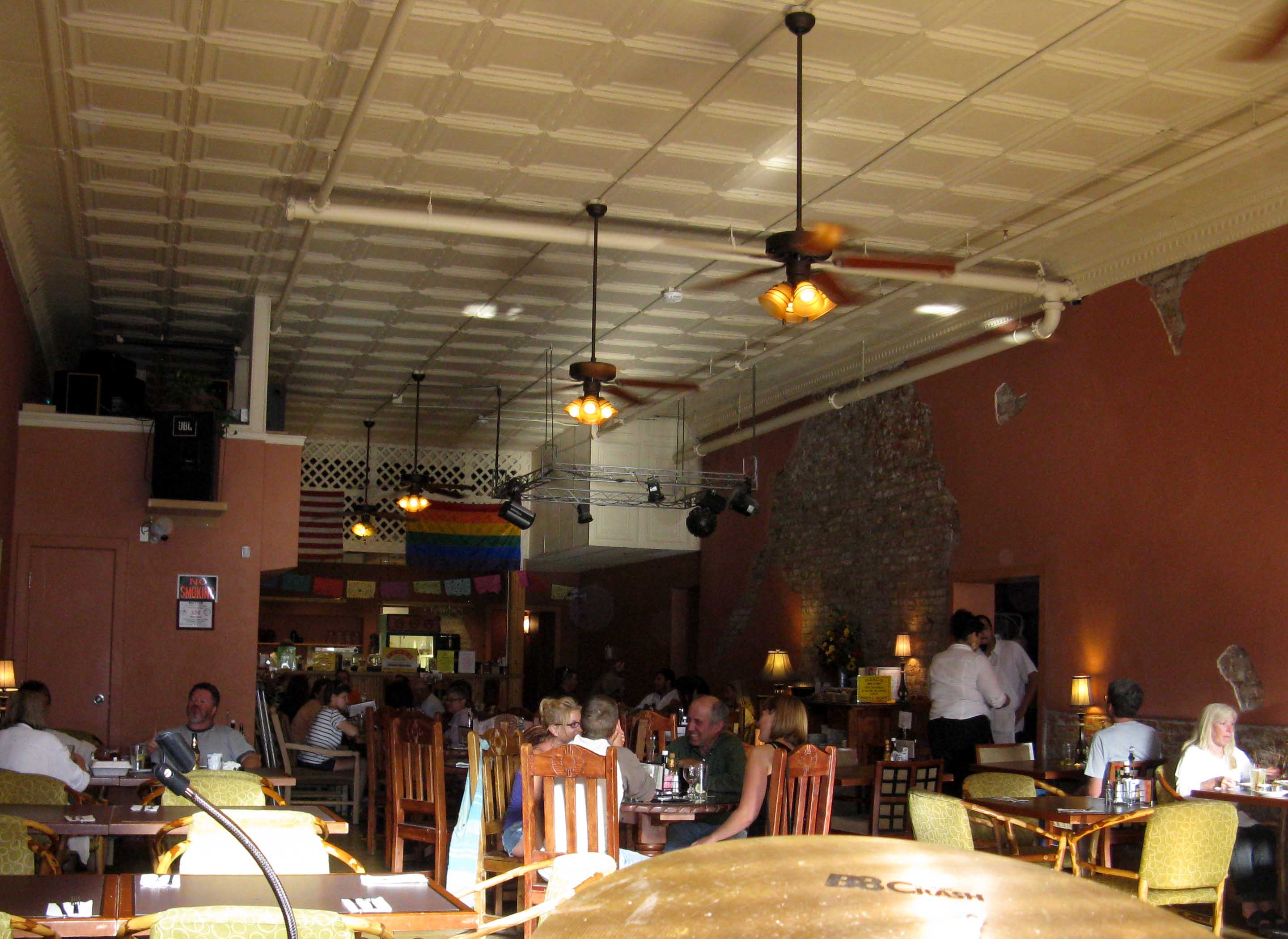
Isaac's
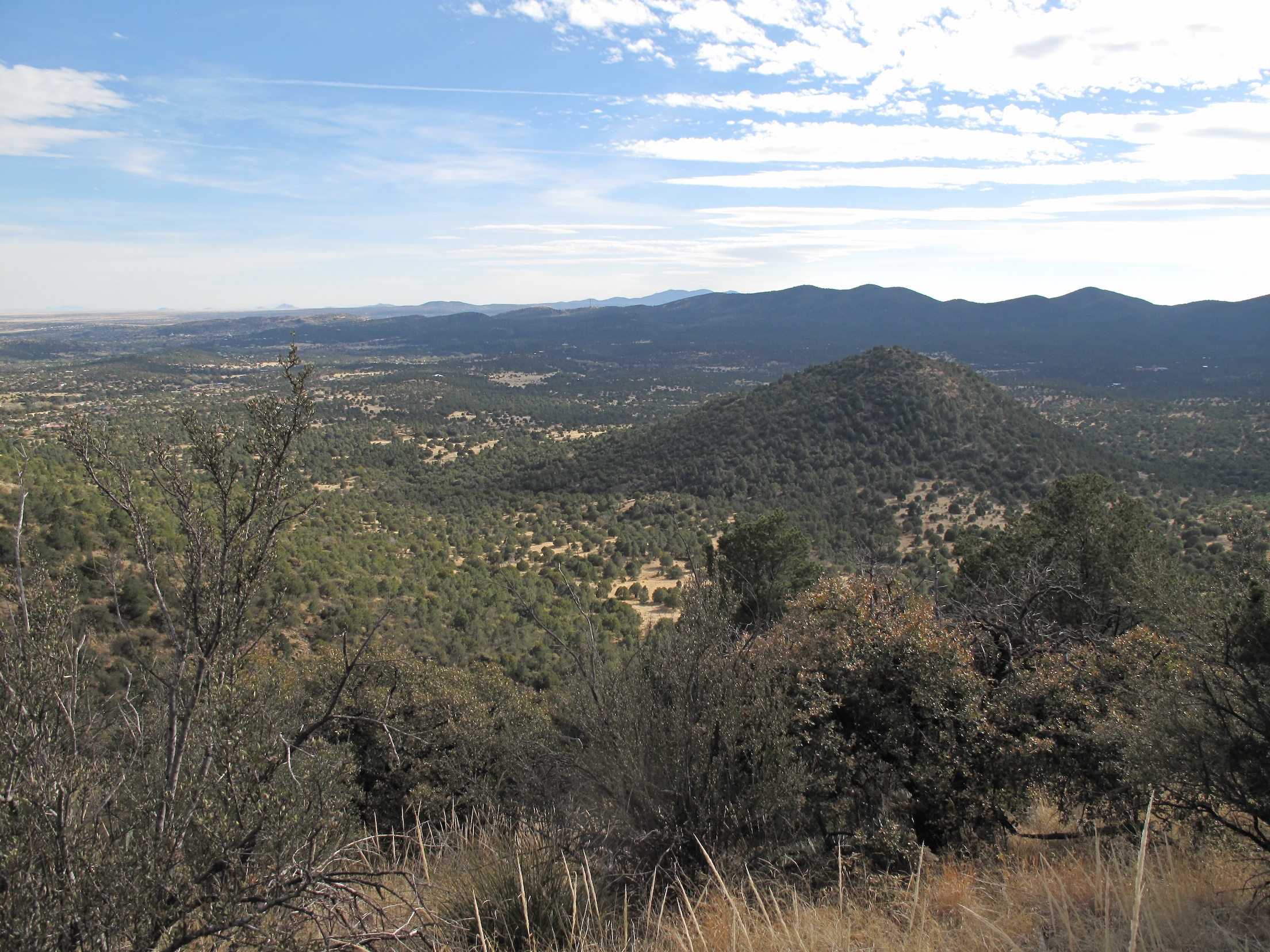
View towards Silver City range
sc_boston_hill-002w.jpg

St. Vincents II
On the Dragonfly Loop Trail.
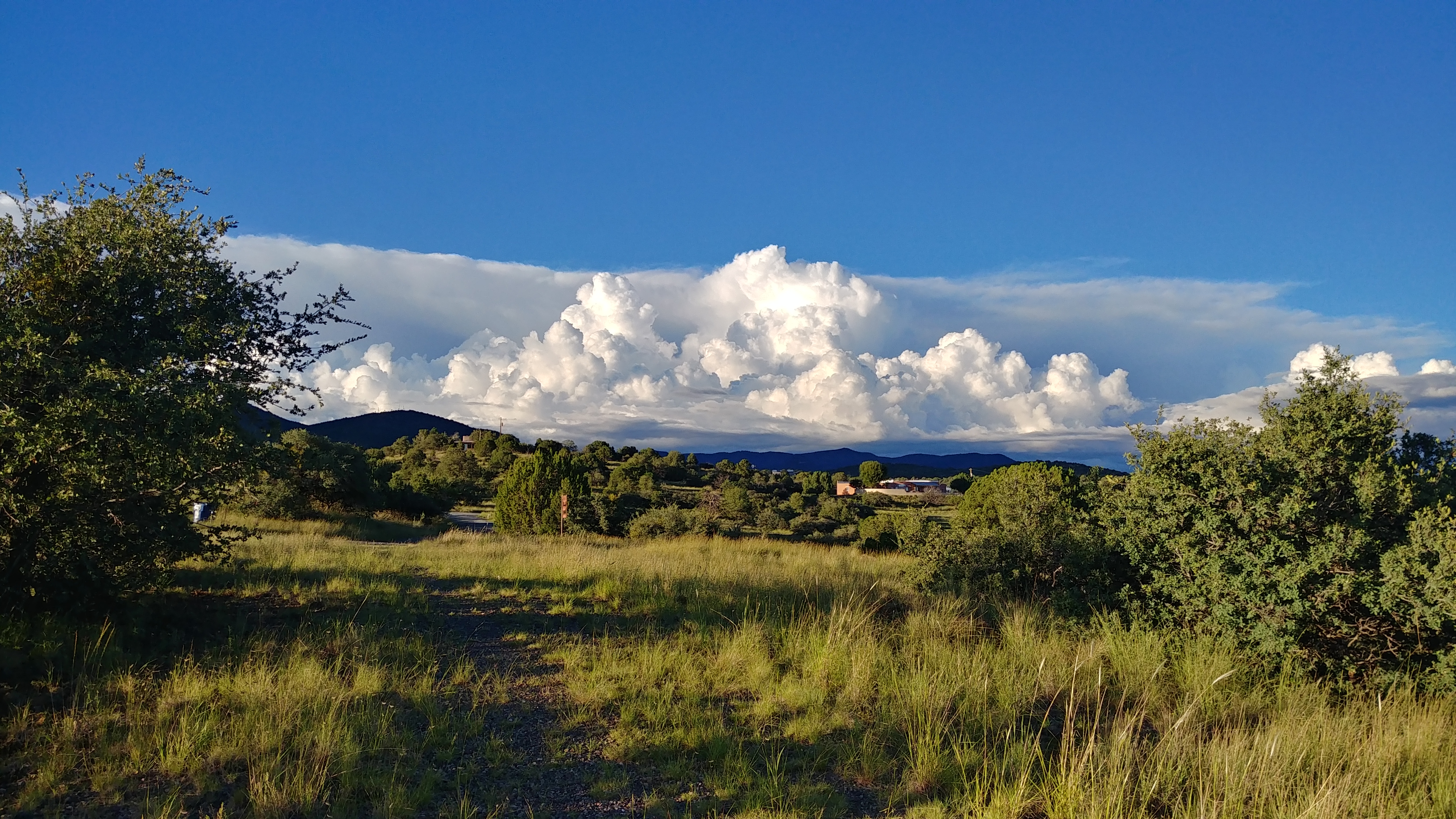
Evening Clouds
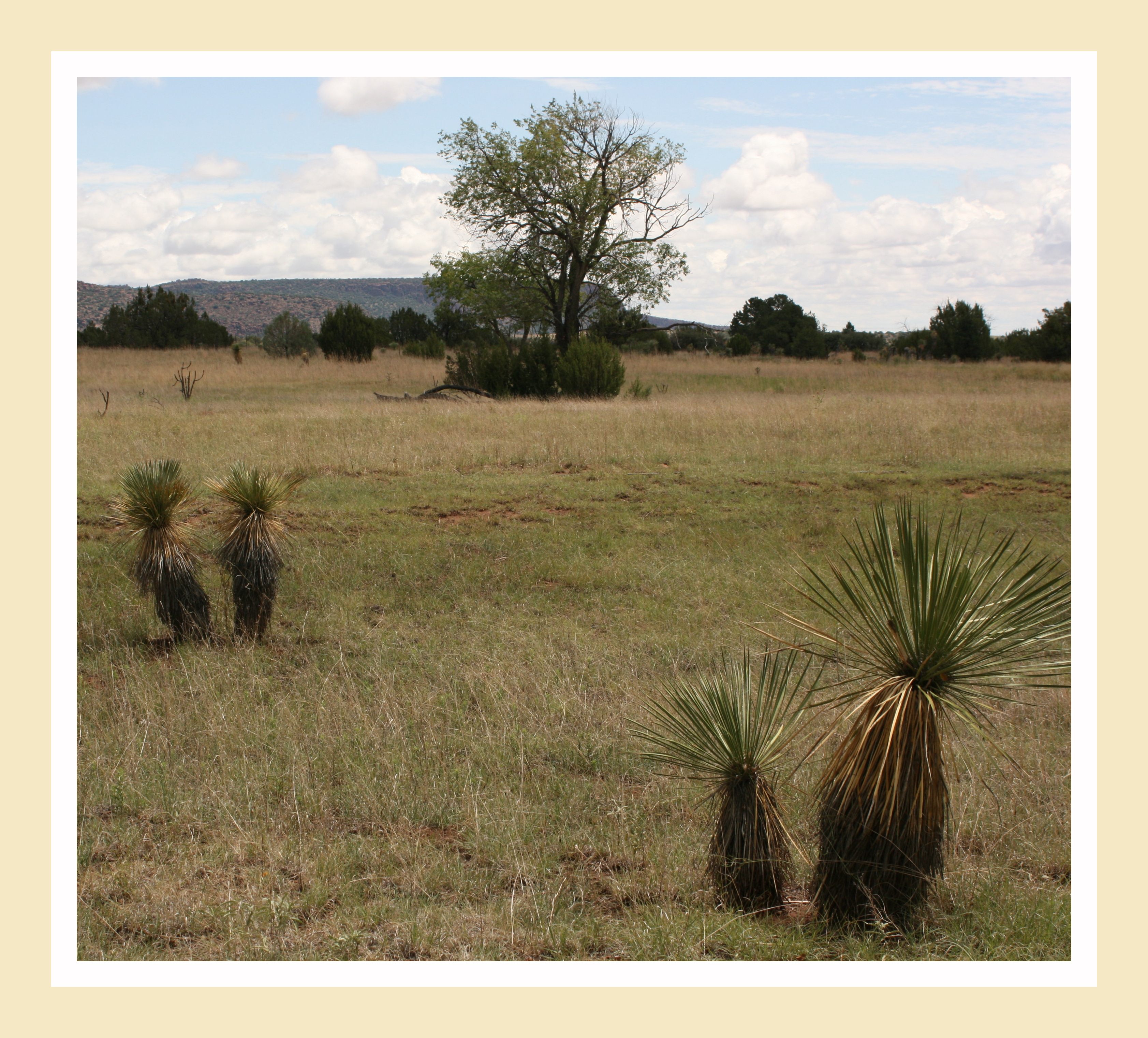
High Desert Vista
Gila National Wilderness
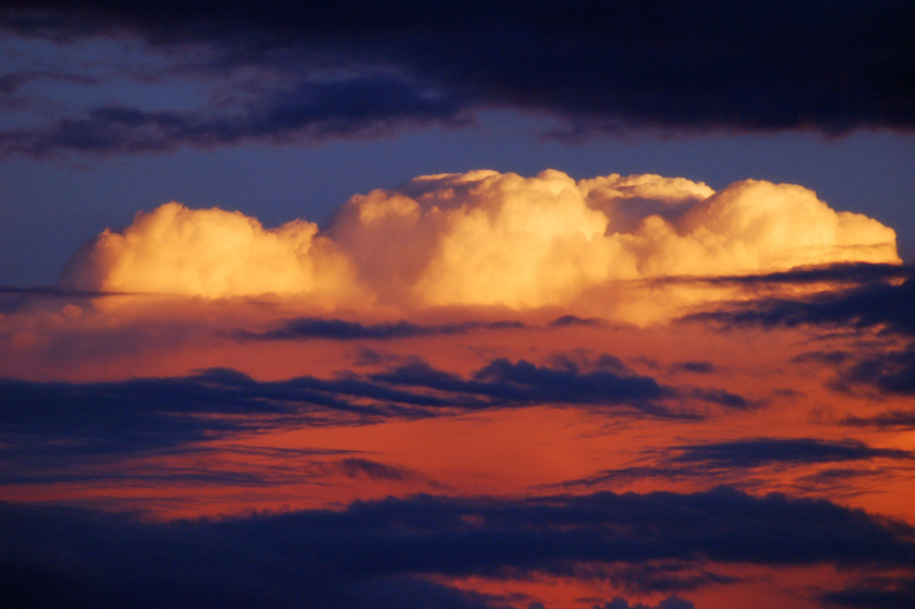
Big Clouds
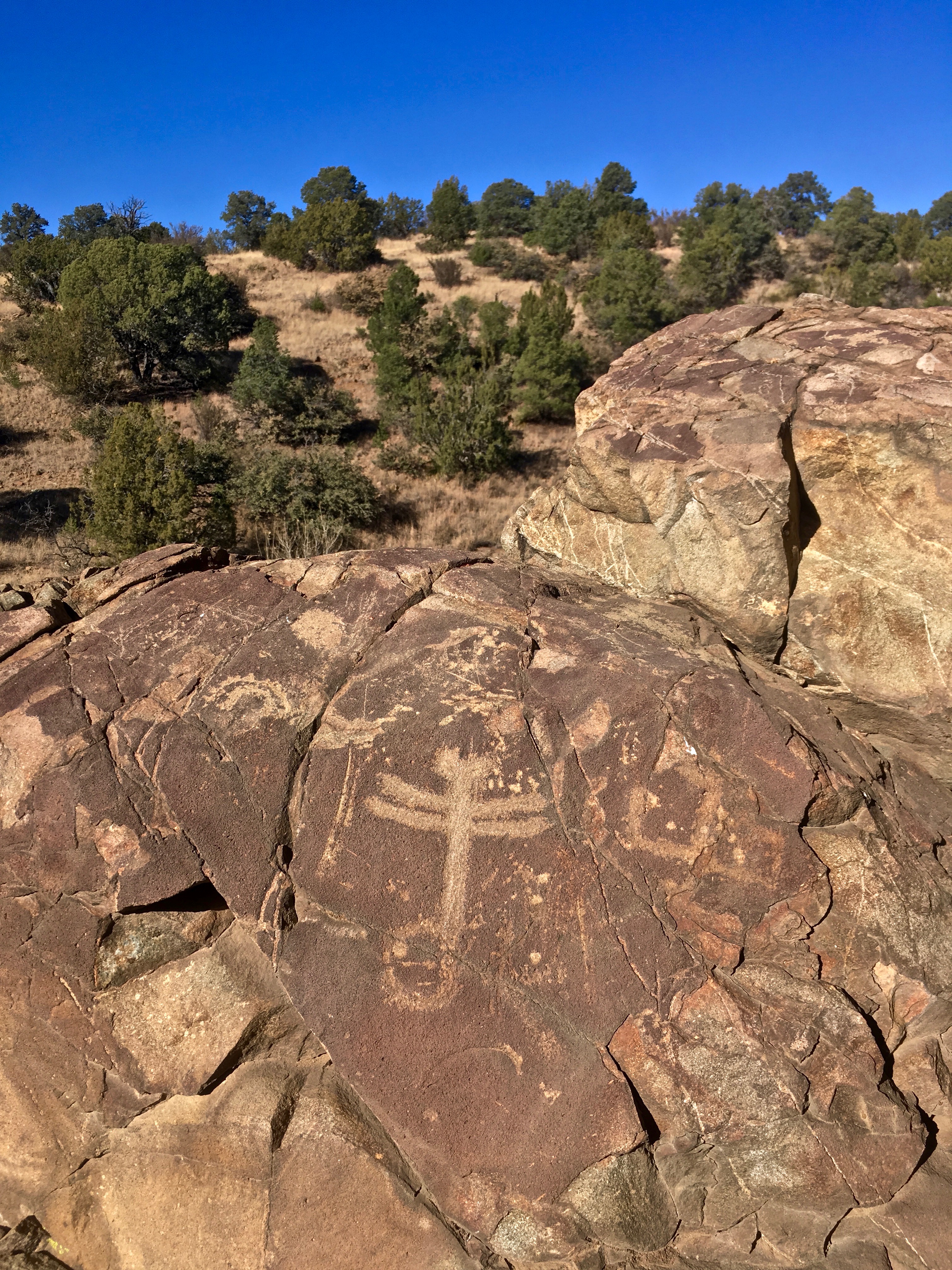
Dragonfly Petroglyph
The last stretch to the Mexican border. Antilope Wells. Day on day 2013 Tour Divide flashback #bikepacking #tourdivide #mtb #mountainbike #gravel #antelopewells #newmexico #ot
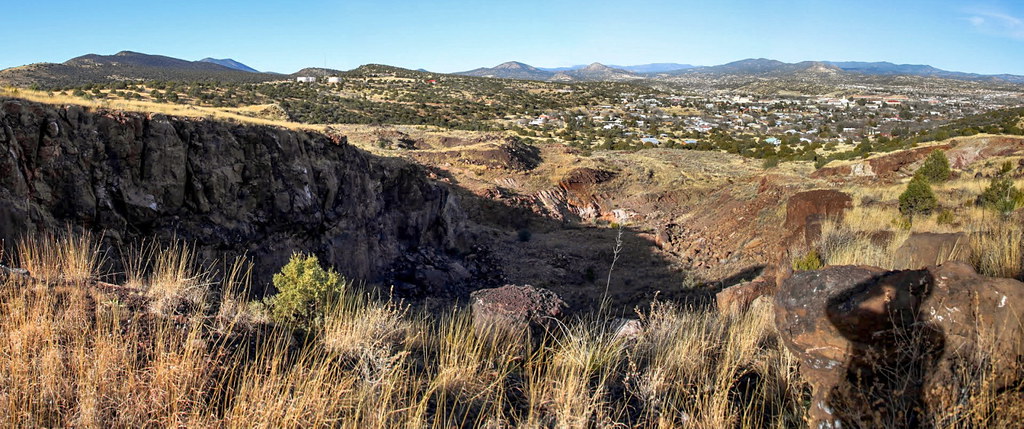
Boston Hill, Silver City
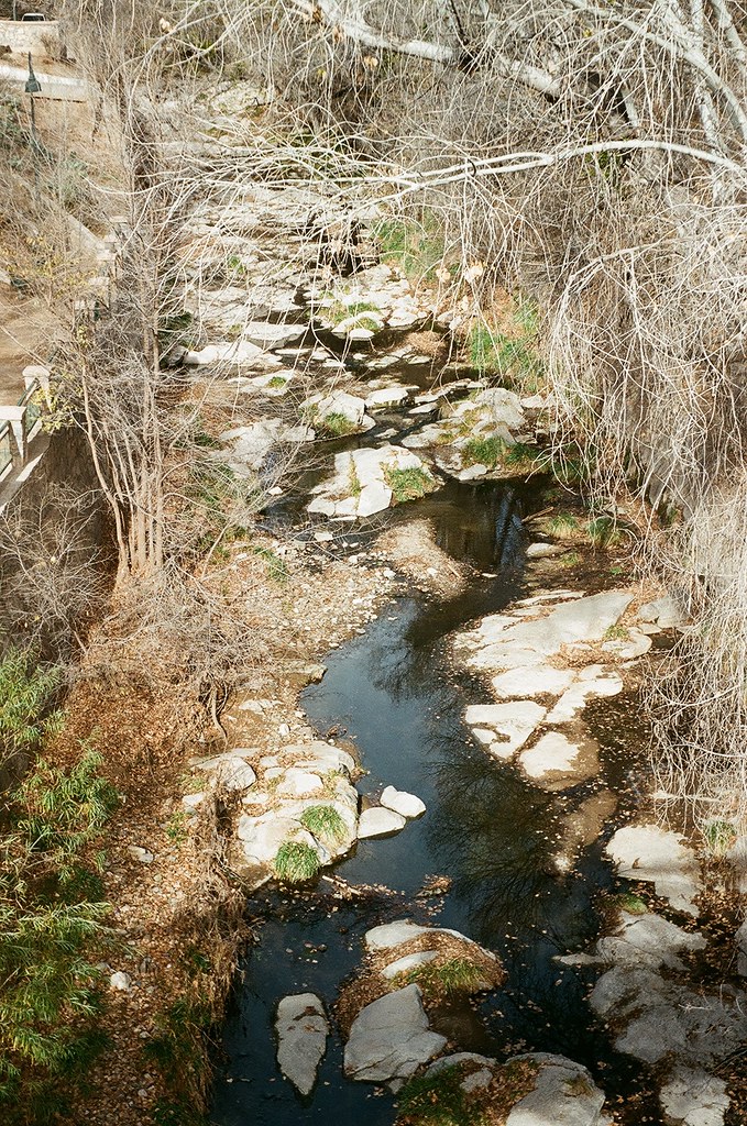
silver city san vincente creek up river
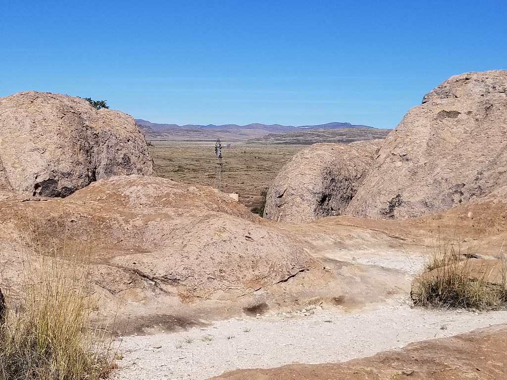
City of Rocks State Park, NM. November 2018.
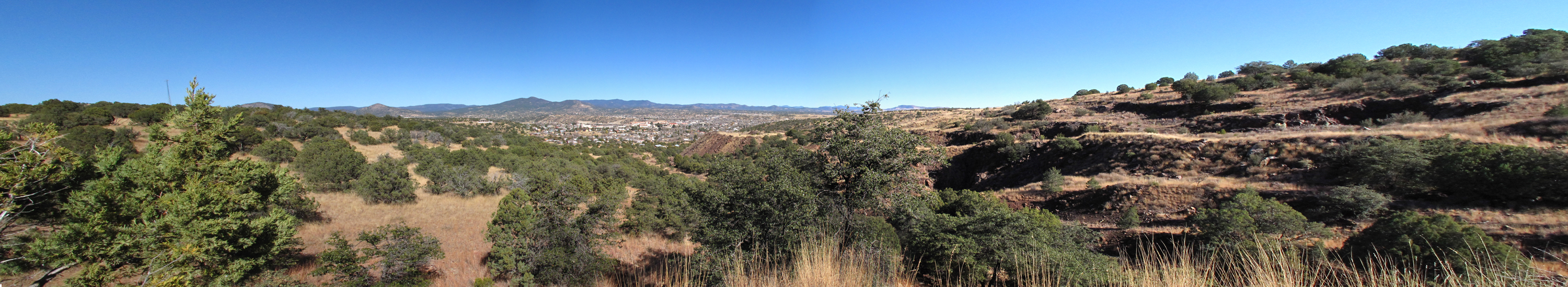
Silver City Panorama
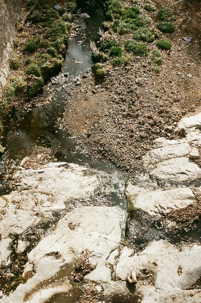
silver city san vincente creek
Moon Rising
Fort Bayard National Cemetery

SC-Full-Pano-20130517-001
Blue Shadows
Full Silver City Pano just before Sunrise
Oldstagram of the entrance to Gila Cliff Dwelling National Monument
CDT section 01
Topographic Map of Ridge Rd, Silver City, NM, USA
Find elevation by address:

Places near Ridge Rd, Silver City, NM, USA:
Silver City
311 N Bullard St
2040 Memory Ln
Rosedale Road
3603 Los Encinos
29 Logan St
Arenas Valley Rd, Arenas Valley, NM, USA
13 Elias Rd
Pinos Altos
Santa Clara
Davis St, Bayard, NM, USA
Bayard
8 Mum St, Hurley, NM, USA
Hurley
Hurley
Hurley
Hanover
Fierro Rd, Hanover, NM, USA
Mimbres
Mimbres Peak
Recent Searches:
- Elevation of Corso Fratelli Cairoli, 35, Macerata MC, Italy
- Elevation of Tallevast Rd, Sarasota, FL, USA
- Elevation of 4th St E, Sonoma, CA, USA
- Elevation of Black Hollow Rd, Pennsdale, PA, USA
- Elevation of Oakland Ave, Williamsport, PA, USA
- Elevation of Pedrógão Grande, Portugal
- Elevation of Klee Dr, Martinsburg, WV, USA
- Elevation of Via Roma, Pieranica CR, Italy
- Elevation of Tavkvetili Mountain, Georgia
- Elevation of Hartfords Bluff Cir, Mt Pleasant, SC, USA