Elevation of Shelley Peak, New Mexico, USA
Location: United States > New Mexico > Gila >
Longitude: -108.56172
Latitude: 33.1850662
Elevation: 2644m / 8675feet
Barometric Pressure: 73KPa
Elevation Map:
Satellite Map:
Related Photos:
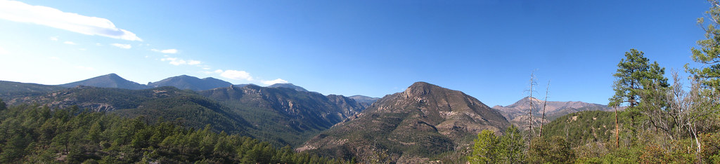
Mogollon Trail View
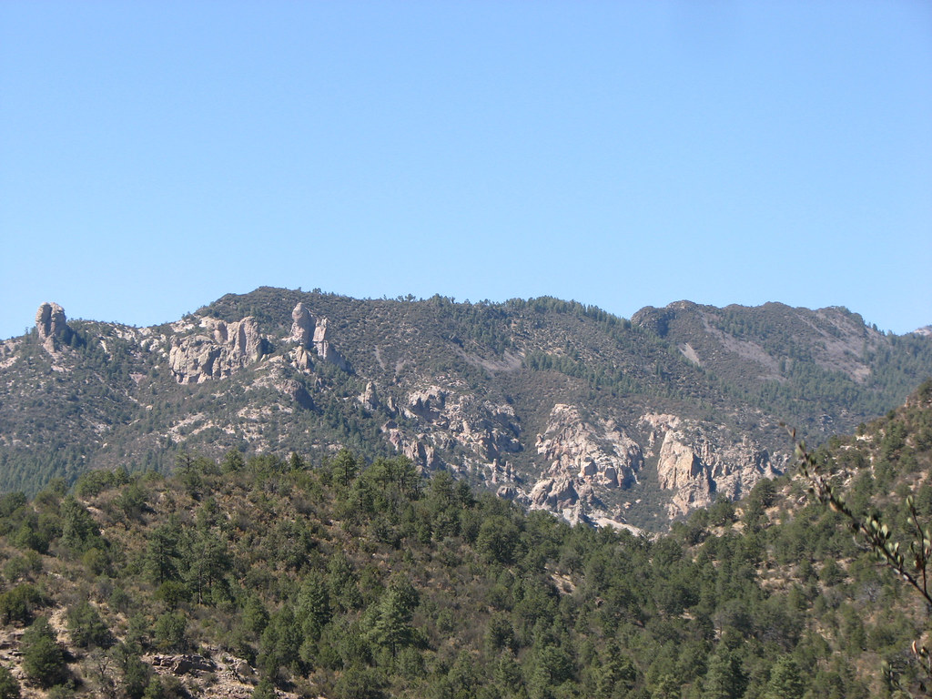
View from the Trail
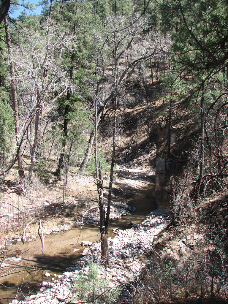
Campsite View
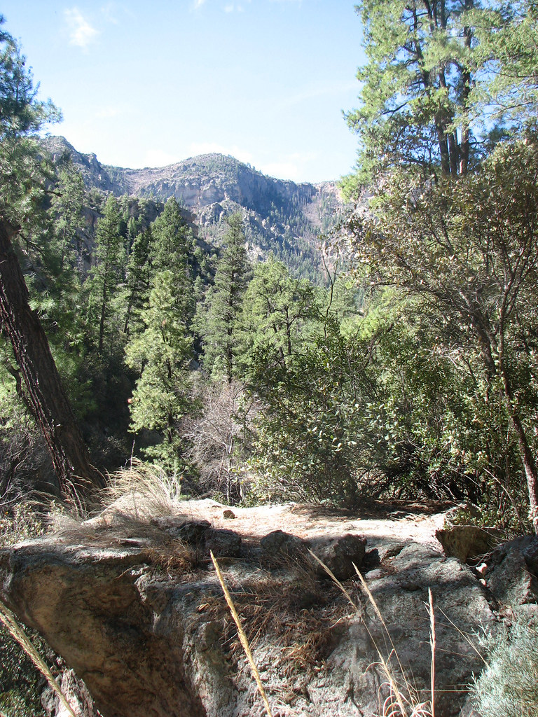
View from Turkey Creek Trail
Topographic Map of Shelley Peak, New Mexico, USA
Find elevation by address:

Places near Shelley Peak, New Mexico, USA:
Seventyfour Mountain
Mogollon Baldy Peak
Haystack Mountain
Diablo Range Hp
Sacaton Mountain
Turkeyfeather Mountain
Lilley Mountain
Jerky Mountains Hp
352 Duck Creek Rd
Buckhorn
Gila
Sheridan Mountain
38 S Bear Creek Heights
38 S Bear Creek Heights
38 S Bear Creek Heights
Holt Mountain
Dipping Vat Campground
Gila National Forest
Aldo Leopold Vista Picnic Area (recgovnpsdata)
Nabours Mountain
Recent Searches:
- Elevation of Corso Fratelli Cairoli, 35, Macerata MC, Italy
- Elevation of Tallevast Rd, Sarasota, FL, USA
- Elevation of 4th St E, Sonoma, CA, USA
- Elevation of Black Hollow Rd, Pennsdale, PA, USA
- Elevation of Oakland Ave, Williamsport, PA, USA
- Elevation of Pedrógão Grande, Portugal
- Elevation of Klee Dr, Martinsburg, WV, USA
- Elevation of Via Roma, Pieranica CR, Italy
- Elevation of Tavkvetili Mountain, Georgia
- Elevation of Hartfords Bluff Cir, Mt Pleasant, SC, USA