Elevation of Seventyfour Mountain, New Mexico, USA
Location: United States > New Mexico > Gila >
Longitude: -108.63061
Latitude: 33.1770105
Elevation: 2356m / 7730feet
Barometric Pressure: 76KPa
Elevation Map:
Satellite Map:
Related Photos:
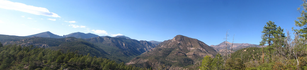
Mogollon Trail View
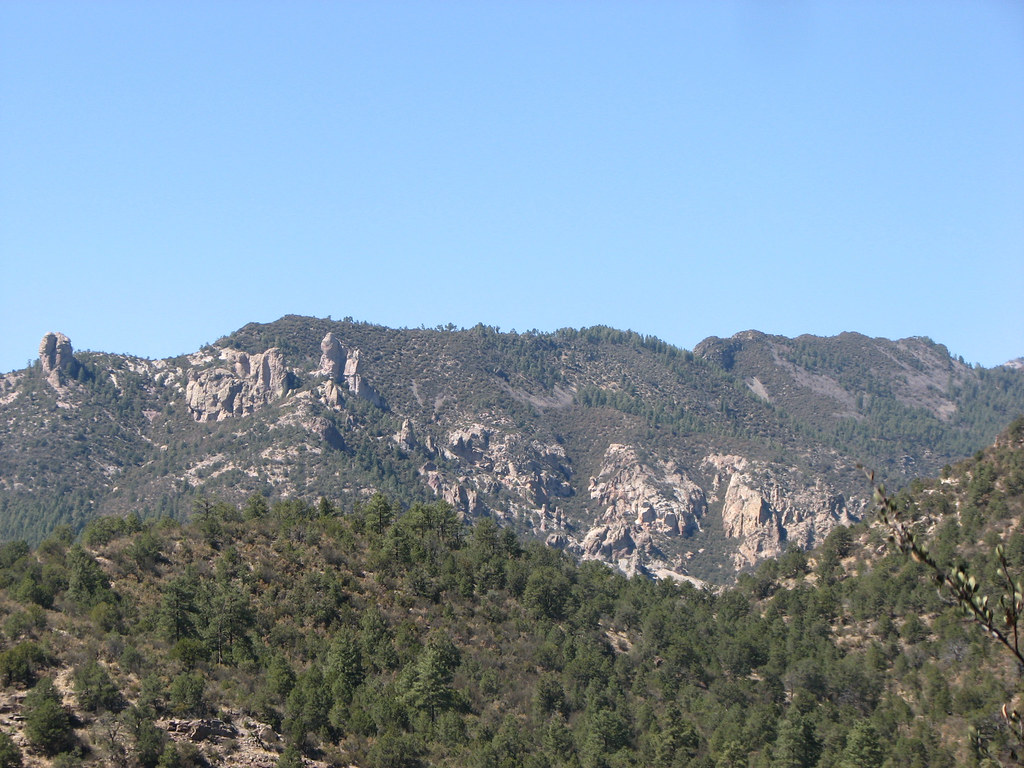
View from the Trail
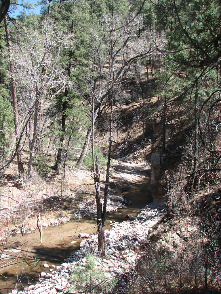
Campsite View
Topographic Map of Seventyfour Mountain, New Mexico, USA
Find elevation by address:

Places near Seventyfour Mountain, New Mexico, USA:
Haystack Mountain
Shelley Peak
Mogollon Baldy Peak
Sacaton Mountain
352 Duck Creek Rd
Buckhorn
Sheridan Mountain
Turkeyfeather Mountain
Holt Mountain
Aldo Leopold Vista Picnic Area (recgovnpsdata)
Diablo Range Hp
6034 Us-180
Jerky Mountains Hp
Gila
Lilley Mountain
Nabours Mountain
38 S Bear Creek Heights
38 S Bear Creek Heights
38 S Bear Creek Heights
Sundial Mountain
Recent Searches:
- Elevation of Corso Fratelli Cairoli, 35, Macerata MC, Italy
- Elevation of Tallevast Rd, Sarasota, FL, USA
- Elevation of 4th St E, Sonoma, CA, USA
- Elevation of Black Hollow Rd, Pennsdale, PA, USA
- Elevation of Oakland Ave, Williamsport, PA, USA
- Elevation of Pedrógão Grande, Portugal
- Elevation of Klee Dr, Martinsburg, WV, USA
- Elevation of Via Roma, Pieranica CR, Italy
- Elevation of Tavkvetili Mountain, Georgia
- Elevation of Hartfords Bluff Cir, Mt Pleasant, SC, USA