Elevation of 38 S Bear Creek Heights, Silver City, NM, USA
Location: United States > New Mexico > Gila >
Longitude: -108.56477
Latitude: 32.949196
Elevation: 1426m / 4678feet
Barometric Pressure: 85KPa
Elevation Map:
Satellite Map:
Related Photos:

View at San Andres National Wildlife Refuge
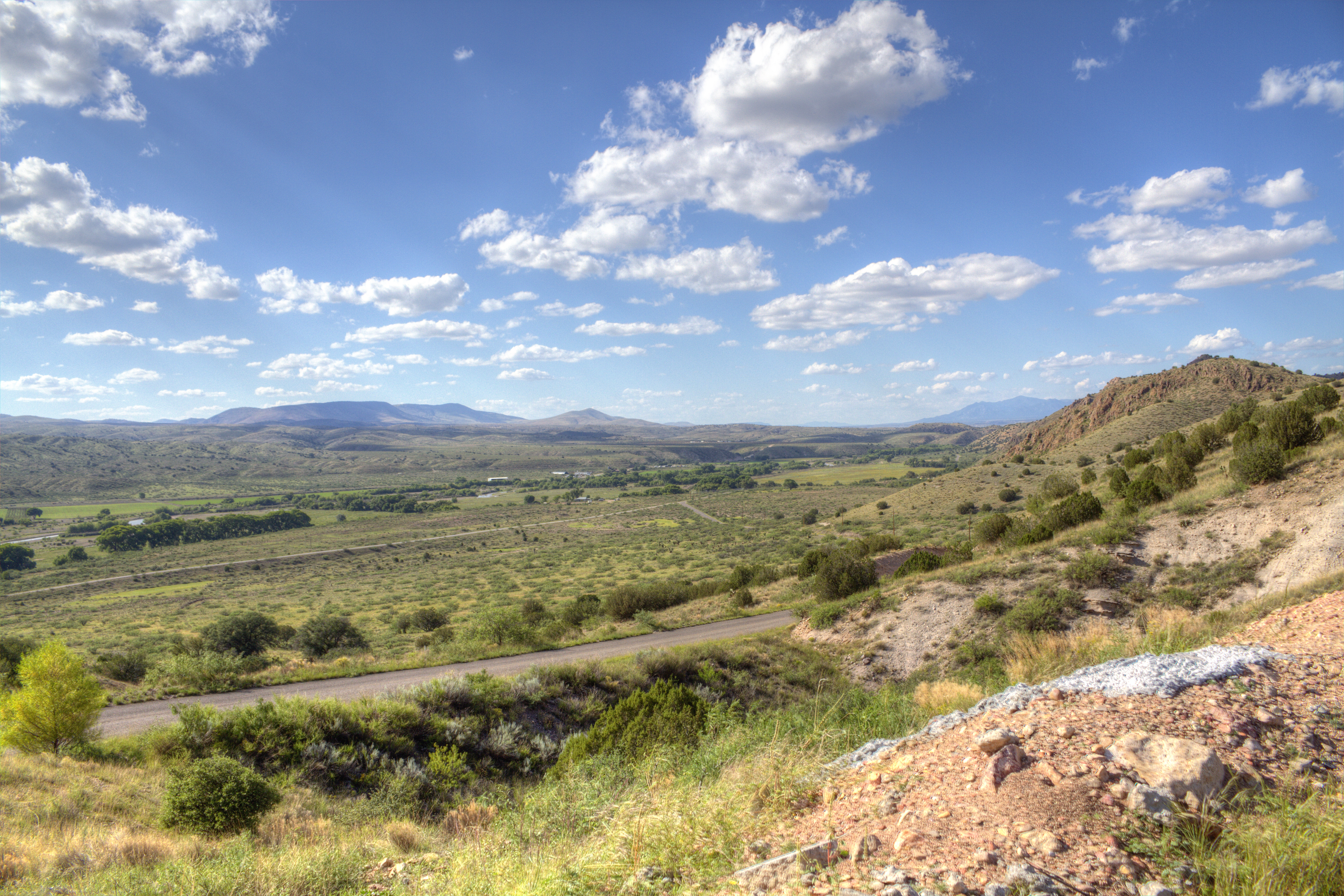
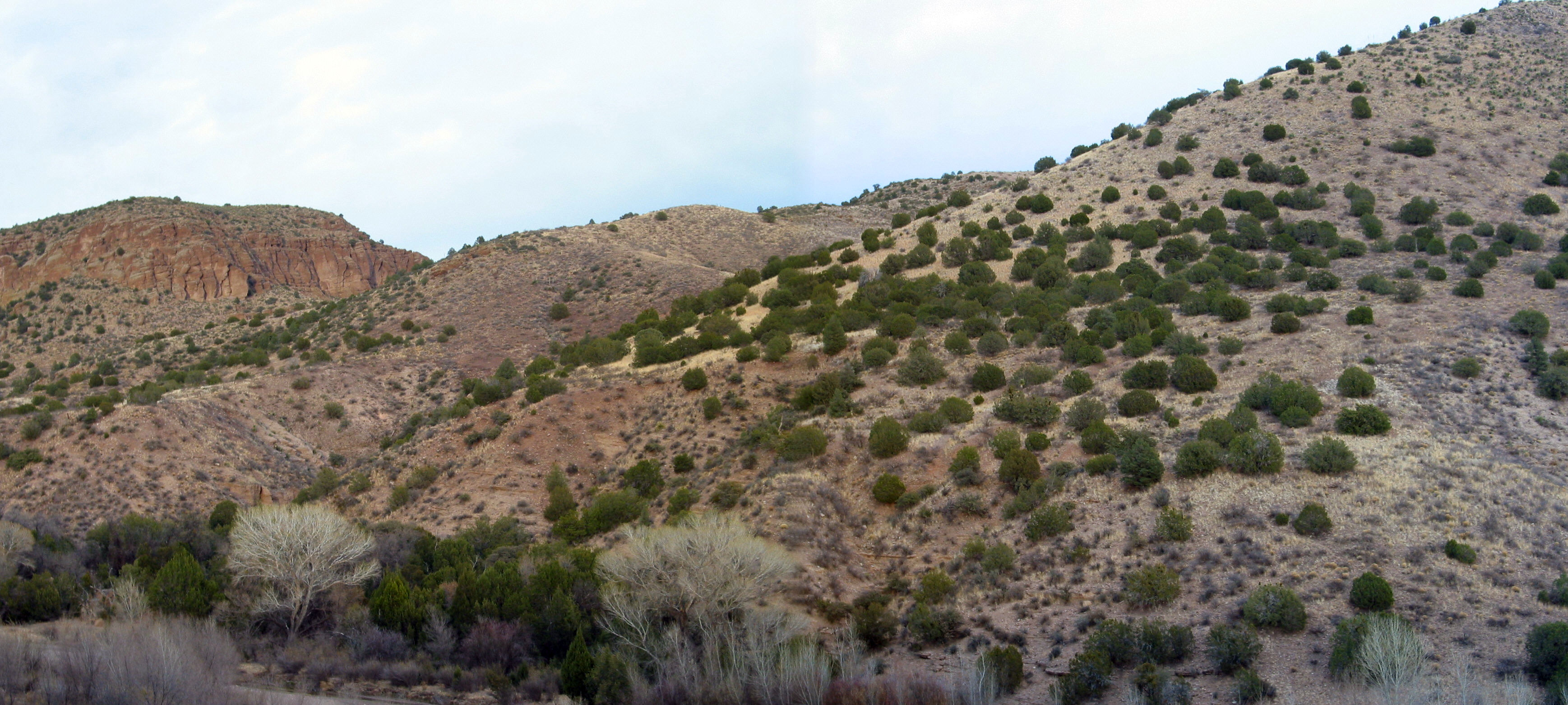
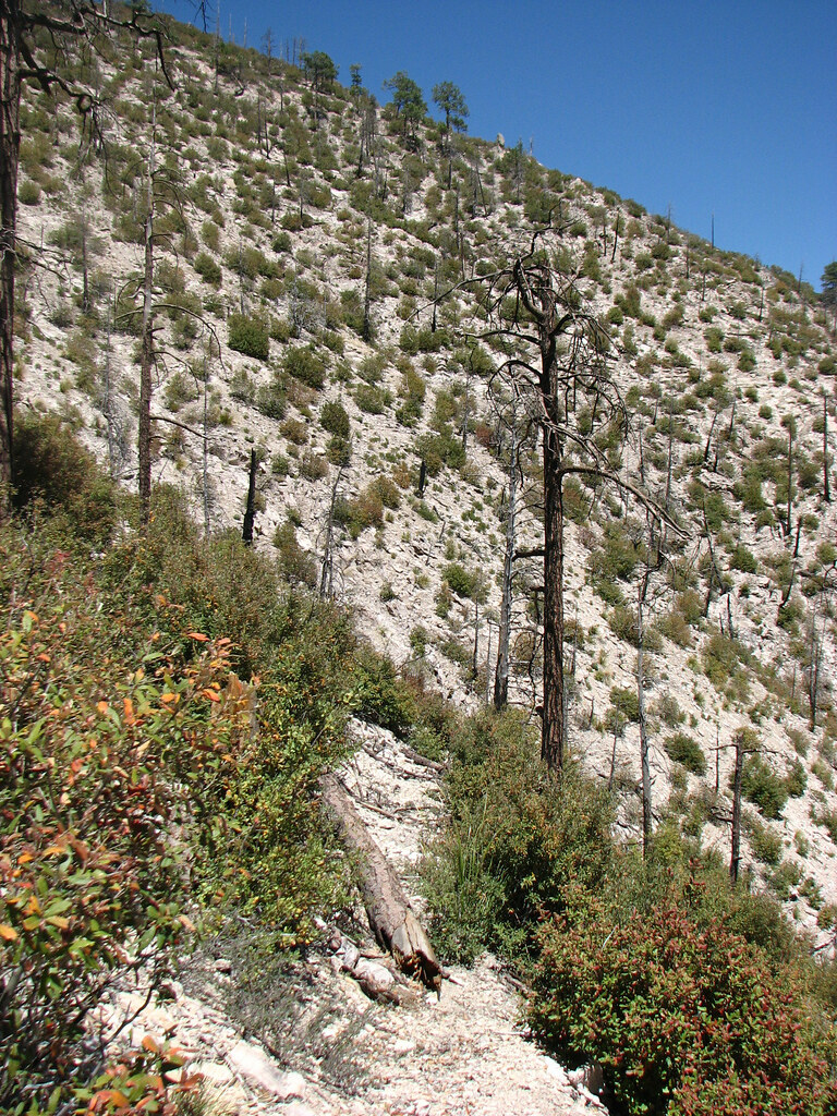
Area near Silver City, NM
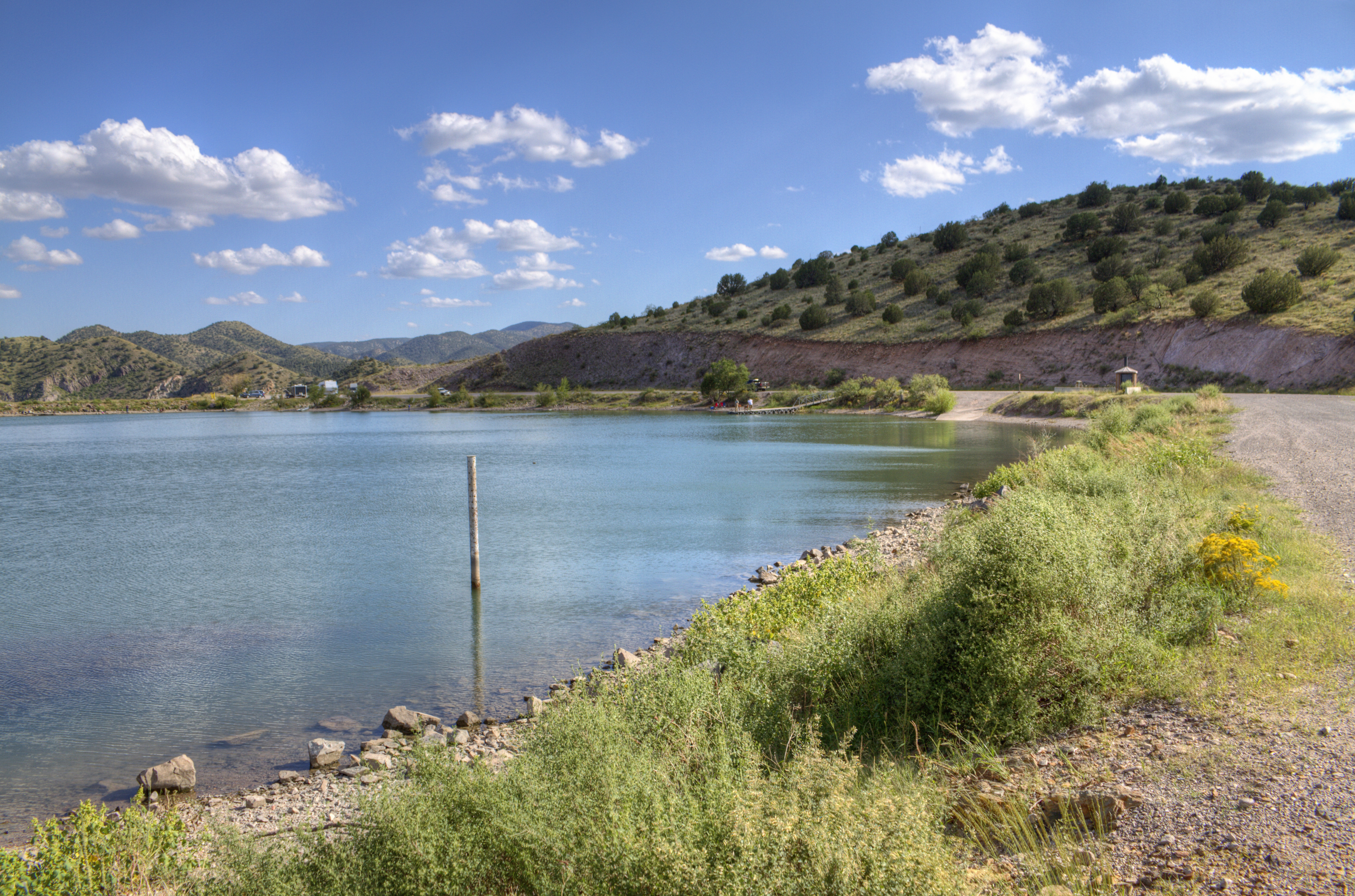
Bill Evans Lake
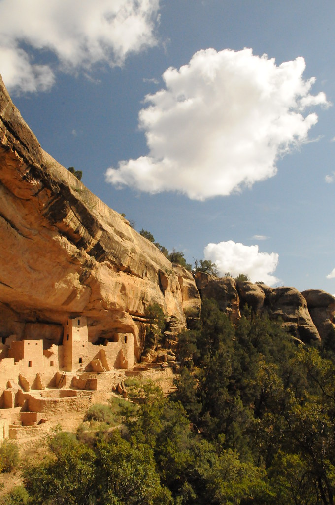
Cliff Palace, Mesa Verde
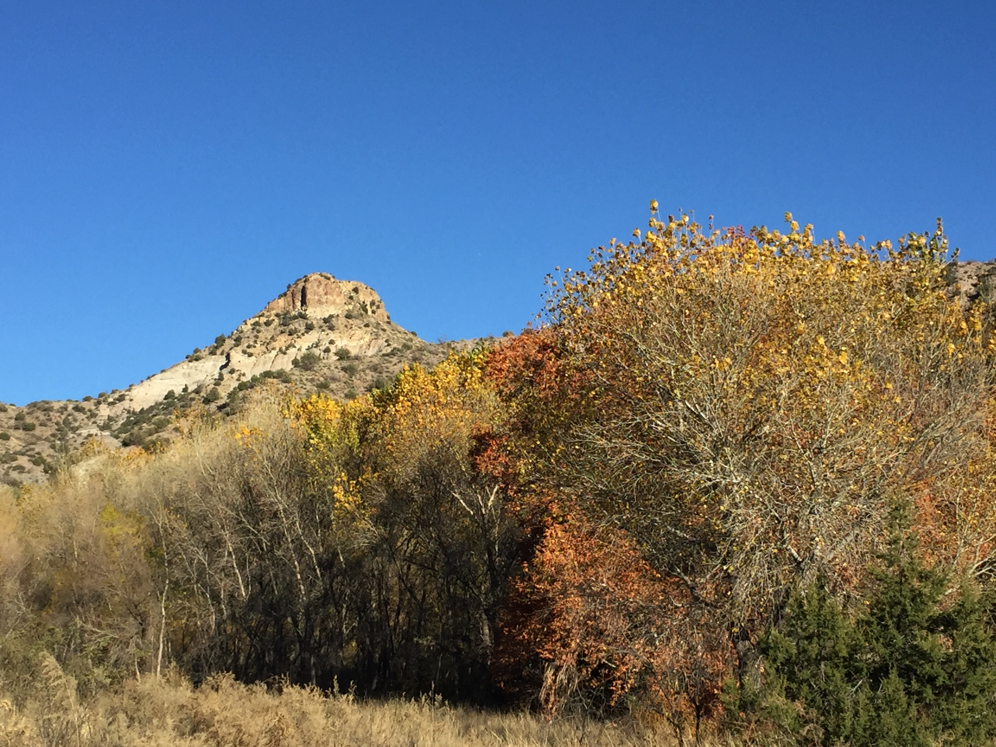
Fall/Winter in the Gila
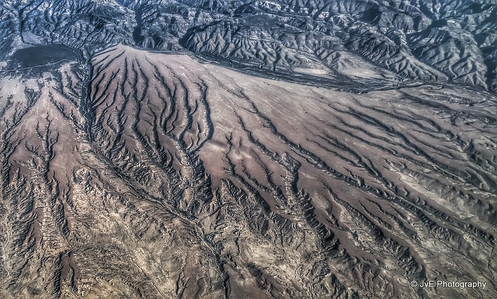
Magnificent Desolation

Gila River Crossing
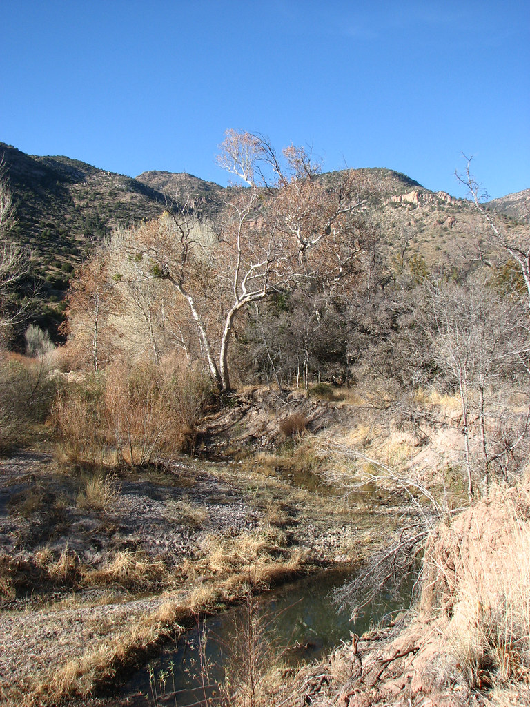
Looking Downstream
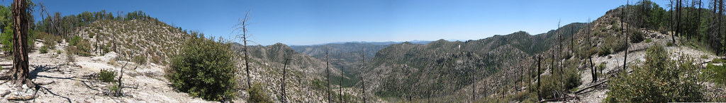
Sycamore Canyon, Gila Wilderness 2009
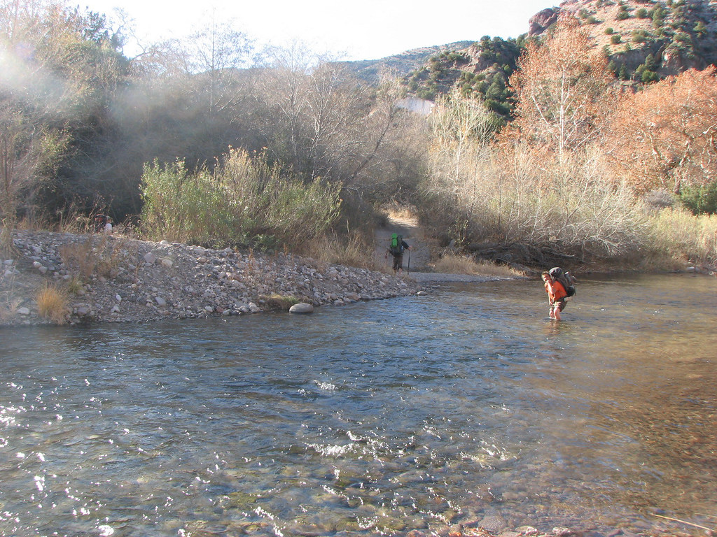
First Gila Crossing
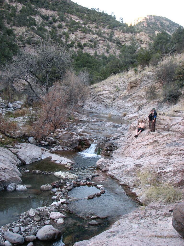
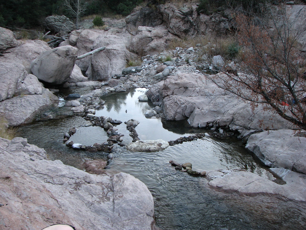
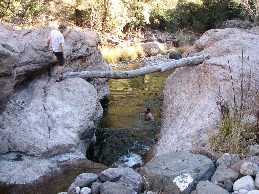
Admiring the Tubs
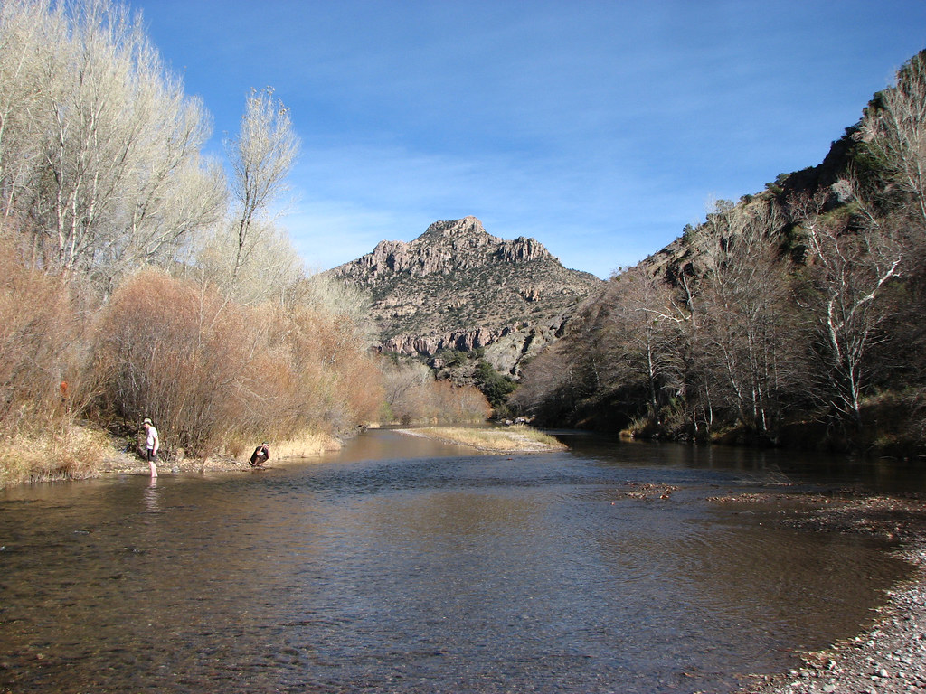
Gila River
casita pan1
River Pose
Sycamore Canyon
Casita Pan3

Mogollon Gila Confluence, Grant Co. New Mexico

Mogollon Gila Confluence, Grant Co. New Mexico
Whatcha Waitin' For
Topographic Map of 38 S Bear Creek Heights, Silver City, NM, USA
Find elevation by address:

Places near 38 S Bear Creek Heights, Silver City, NM, USA:
38 S Bear Creek Heights
38 S Bear Creek Heights
Gila
352 Duck Creek Rd
Buckhorn
Shelley Peak
Seventyfour Mountain
Treasure Mountain
53 N Fork Walnut Creek Rd
15 Bar 6 Dr
398 Red Rock Rd
Dry Section Mountain
Applegate Mountain
Diablo Range Hp
Haystack Mountain
Redrock
4 Amber Dr
Mogollon Baldy Peak
207 S Combs St
Western New Mexico University
Recent Searches:
- Elevation of Corso Fratelli Cairoli, 35, Macerata MC, Italy
- Elevation of Tallevast Rd, Sarasota, FL, USA
- Elevation of 4th St E, Sonoma, CA, USA
- Elevation of Black Hollow Rd, Pennsdale, PA, USA
- Elevation of Oakland Ave, Williamsport, PA, USA
- Elevation of Pedrógão Grande, Portugal
- Elevation of Klee Dr, Martinsburg, WV, USA
- Elevation of Via Roma, Pieranica CR, Italy
- Elevation of Tavkvetili Mountain, Georgia
- Elevation of Hartfords Bluff Cir, Mt Pleasant, SC, USA