Elevation of 53 N Fork Walnut Creek Rd, Silver City, NM, USA
Location: United States > New Mexico > Silver City >
Longitude: -108.32422
Latitude: 32.875649
Elevation: 1905m / 6250feet
Barometric Pressure: 80KPa
Elevation Map:
Satellite Map:
Related Photos:
Enchantment Discovered

New Mexico - Silver City
Comet Lovejoy Through a Telescope
Shadows on the Fort Wall
Saturday at the Blues Festival
Silver City, NM
sc_boston_hill-002w.jpg
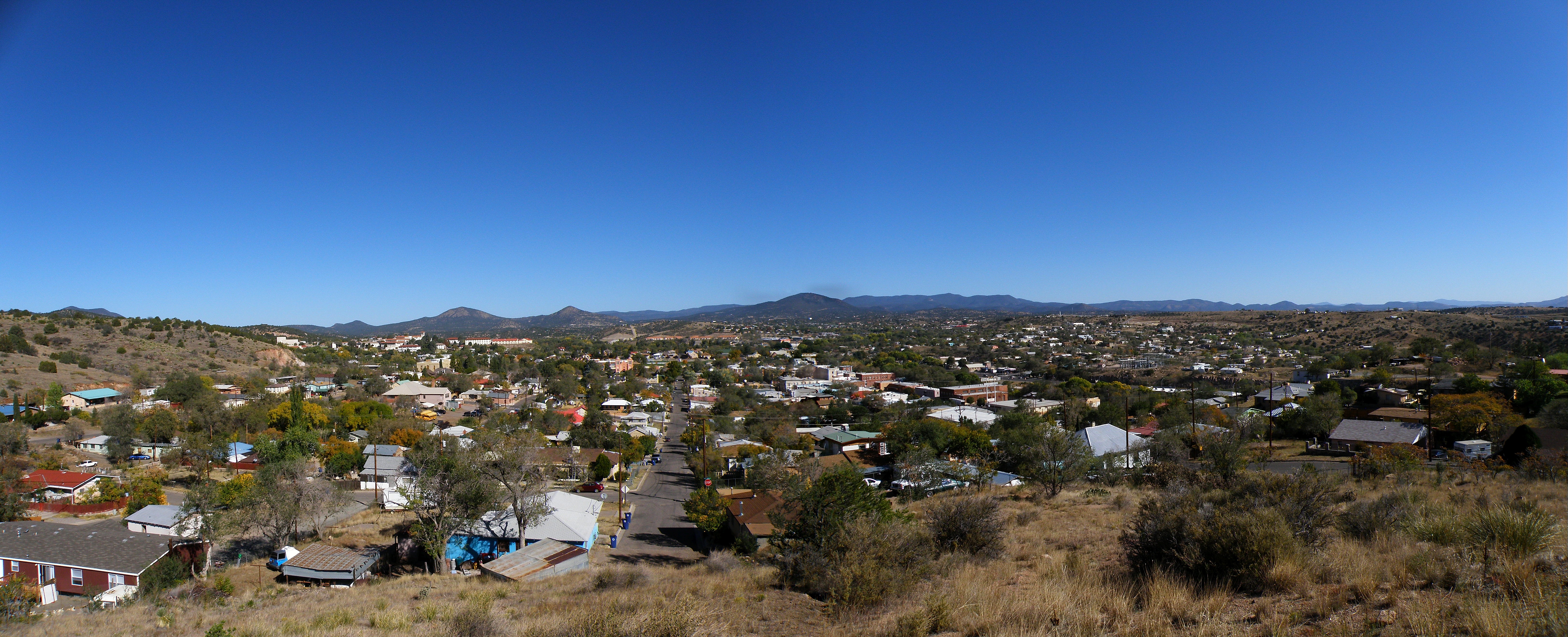
Silver City

St. Vincents II
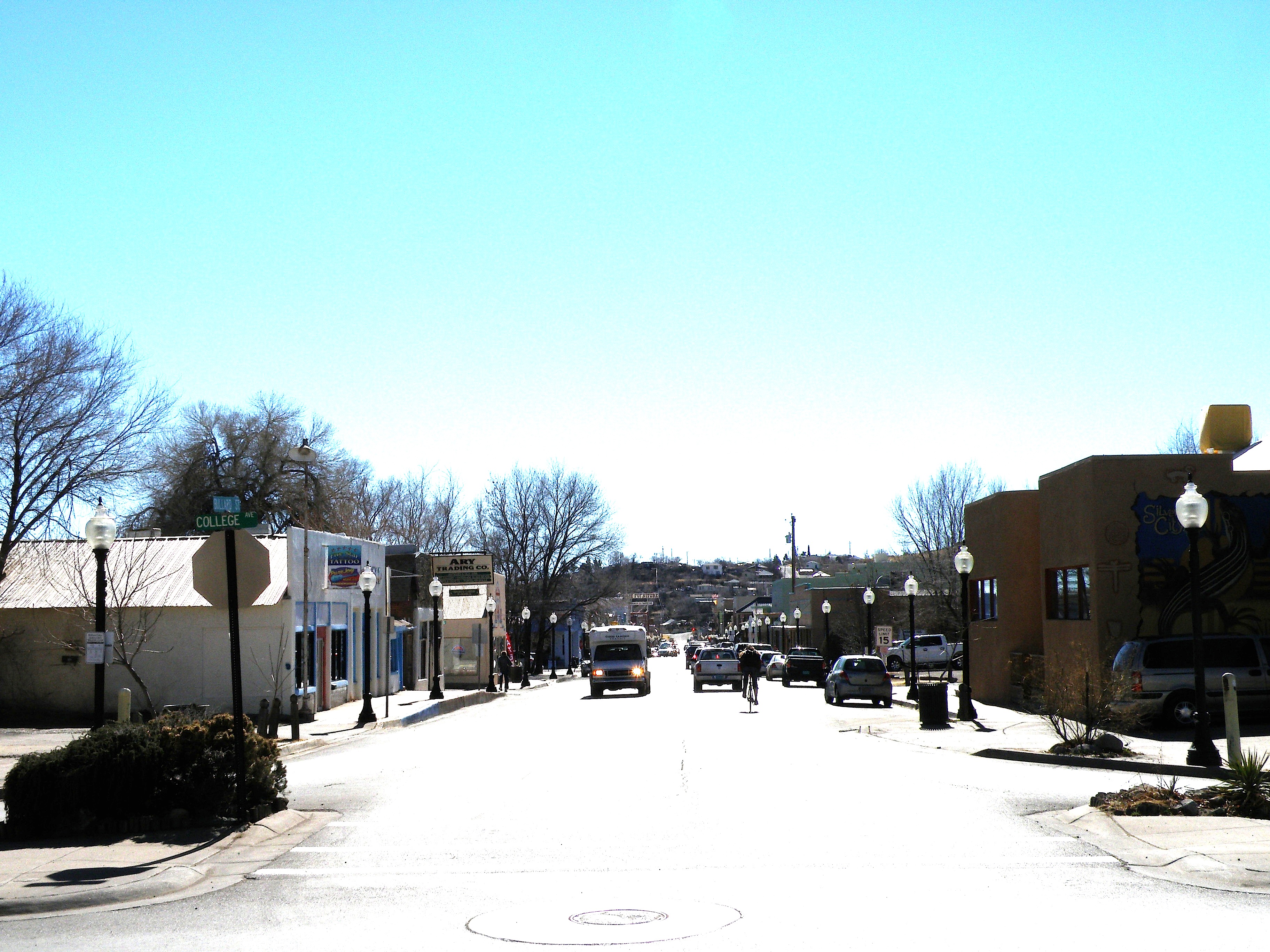
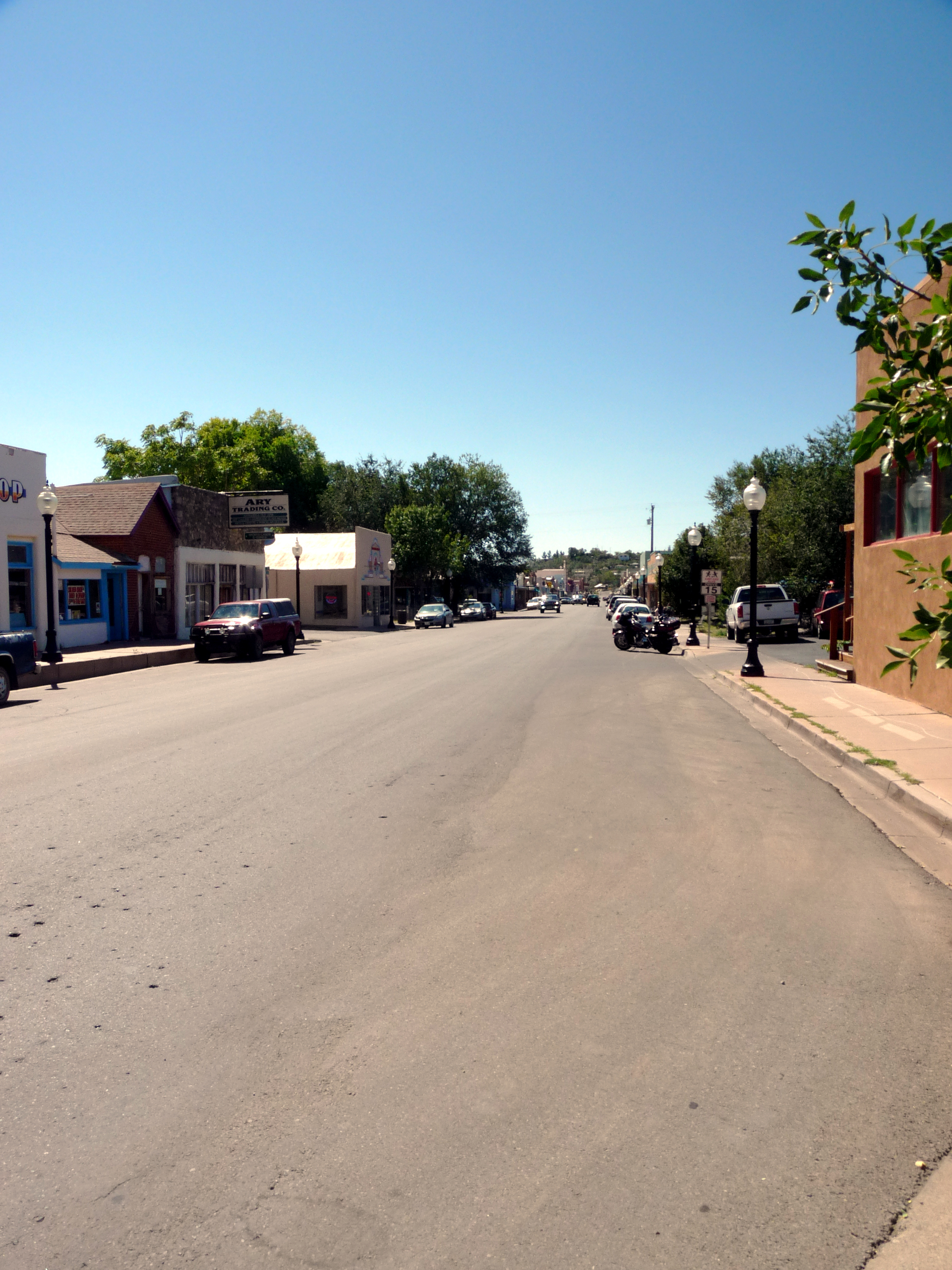
Looking down Bullard at midday
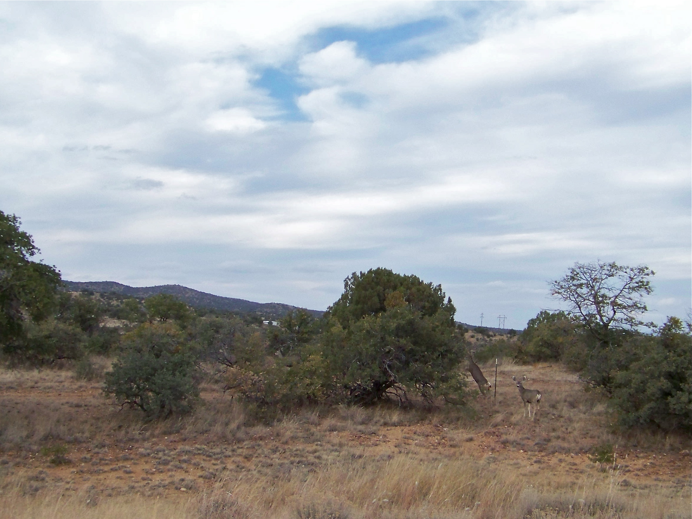
Mule Deer
0317 New Mexico, Silver City, Street
Isaac's
On the Dragonfly Loop Trail.
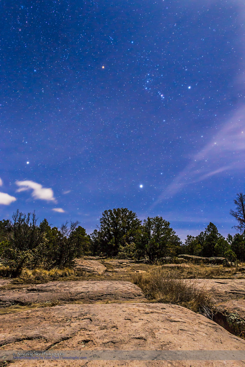
Orion Rising over the Gila

Looking up Boston Hill
Gila National Wilderness
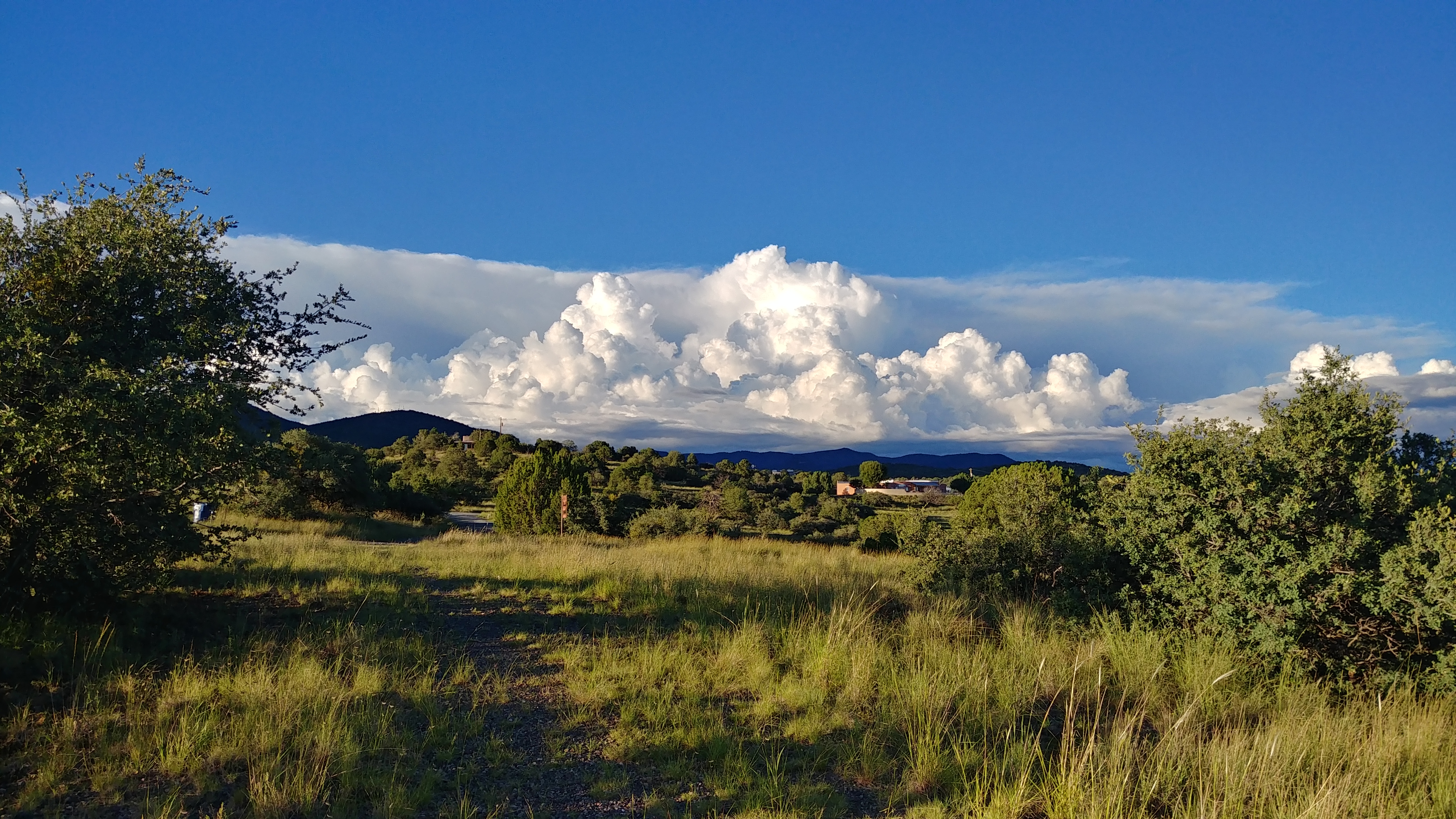
Evening Clouds
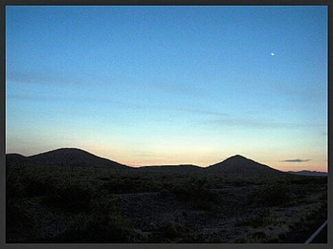
The last stretch to the Mexican border. Antilope Wells. Day on day 2013 Tour Divide flashback #bikepacking #tourdivide #mtb #mountainbike #gravel #antelopewells #newmexico #ot
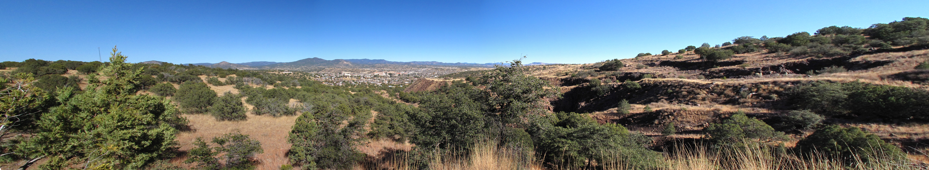
Boston Hill, Silver City
Gila National Forest
Gila National Forest
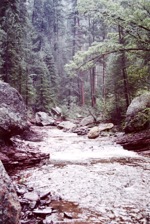
silver city san vincente creek
Gila National Forest, New Mexico
Full Silver City Pano just before Sunrise
Oldstagram of the entrance to Gila Cliff Dwelling National Monument

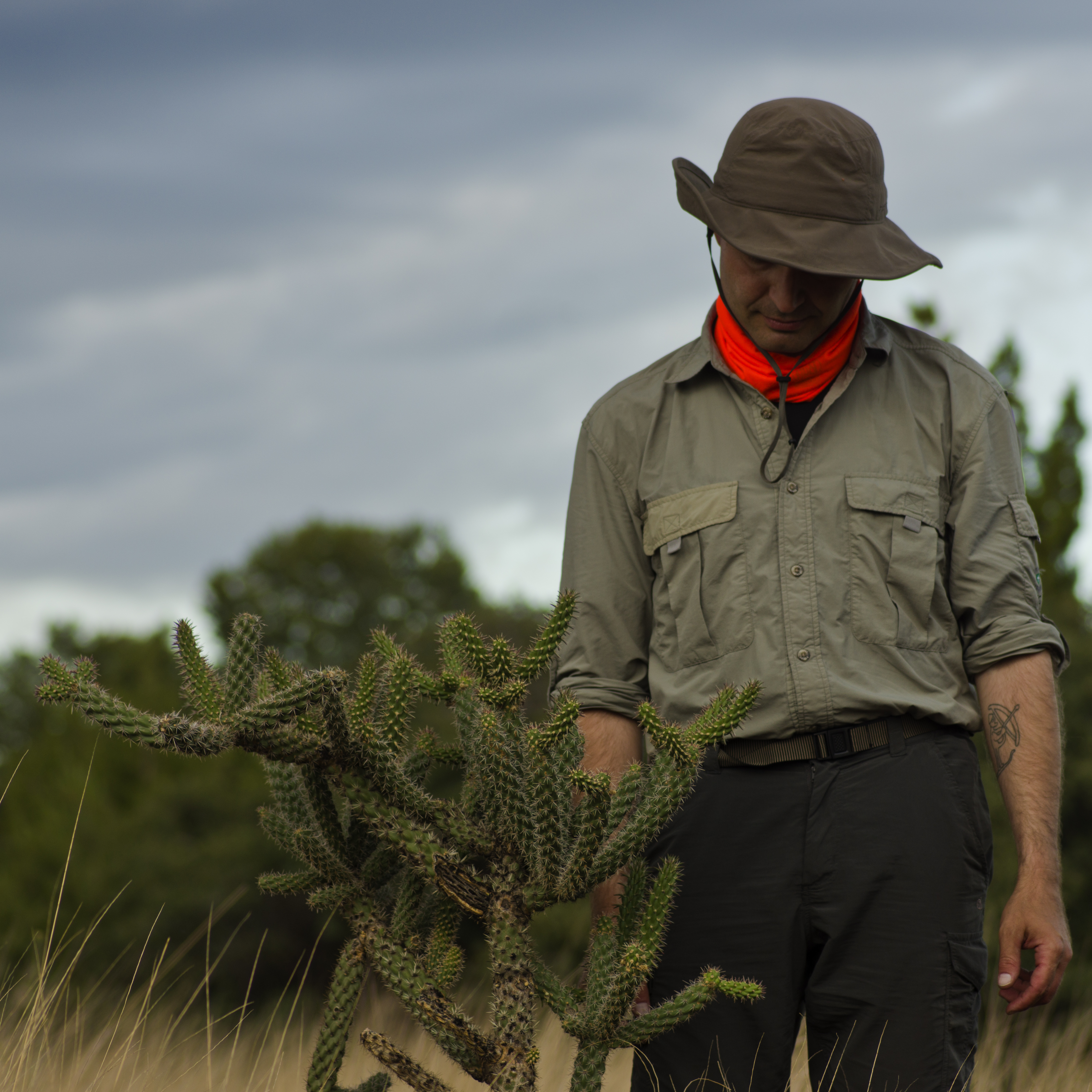
Whipple Cholla

0313 New Mexico, Silver City,SR90, The Big Ditch
CDT Section01
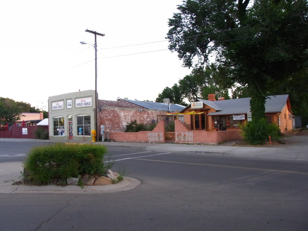
Gile Hike & Bike and the Kurious Kumquat
Topographic Map of 53 N Fork Walnut Creek Rd, Silver City, NM, USA
Find elevation by address:

Places near 53 N Fork Walnut Creek Rd, Silver City, NM, USA:
4 Amber Dr
Treasure Mountain
Western New Mexico University
207 S Combs St
15 Bar 6 Dr
398 Red Rock Rd
38 S Bear Creek Heights
38 S Bear Creek Heights
38 S Bear Creek Heights
Gila
Burro Peak
White Signal
Diablo Range Hp
Shelley Peak
352 Duck Creek Rd
Buckhorn
Seventyfour Mountain
Redrock
Lilley Mountain
Mogollon Baldy Peak
Recent Searches:
- Elevation of Corso Fratelli Cairoli, 35, Macerata MC, Italy
- Elevation of Tallevast Rd, Sarasota, FL, USA
- Elevation of 4th St E, Sonoma, CA, USA
- Elevation of Black Hollow Rd, Pennsdale, PA, USA
- Elevation of Oakland Ave, Williamsport, PA, USA
- Elevation of Pedrógão Grande, Portugal
- Elevation of Klee Dr, Martinsburg, WV, USA
- Elevation of Via Roma, Pieranica CR, Italy
- Elevation of Tavkvetili Mountain, Georgia
- Elevation of Hartfords Bluff Cir, Mt Pleasant, SC, USA