Elevation map of Wallowa County, OR, USA
Location: United States > Oregon >
Longitude: -116.97179
Latitude: 45.592984
Elevation: 1391m / 4564feet
Barometric Pressure: 86KPa
Elevation Map:
Satellite Map:
Related Photos:
HatPoint, OR 0867a

Also from 5-mile Point
View at 5-Mile Point
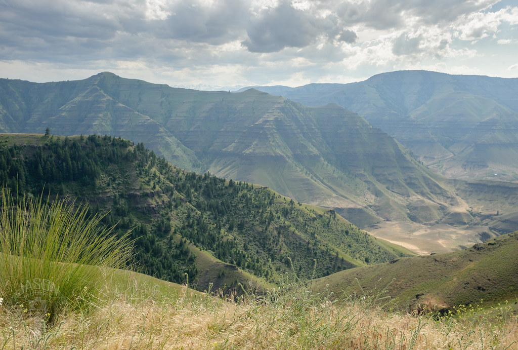
The Imhaha Gorge
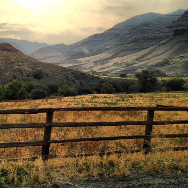
Outside Imnaha, OR

zumwalt prairie. wallowa county. oregon. A rare photo of yours truly with a beautiful draft horse. photo. @chriskerksieck

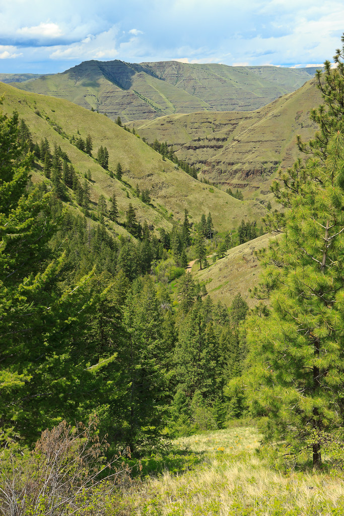
Landscapes of the Imnaha!

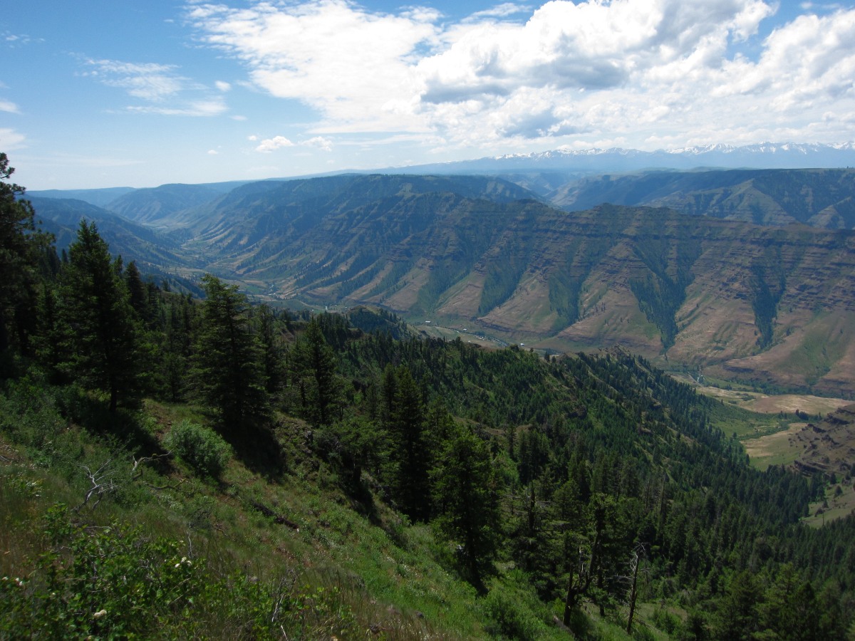
Climbing Hat Point, outside Imnaha

Approaching Imanaha

Hat Point Rd.

This sign was also not joking. We wound up having to stop a few miles down the road because my brakes were smoking.

Climbing Hat Point

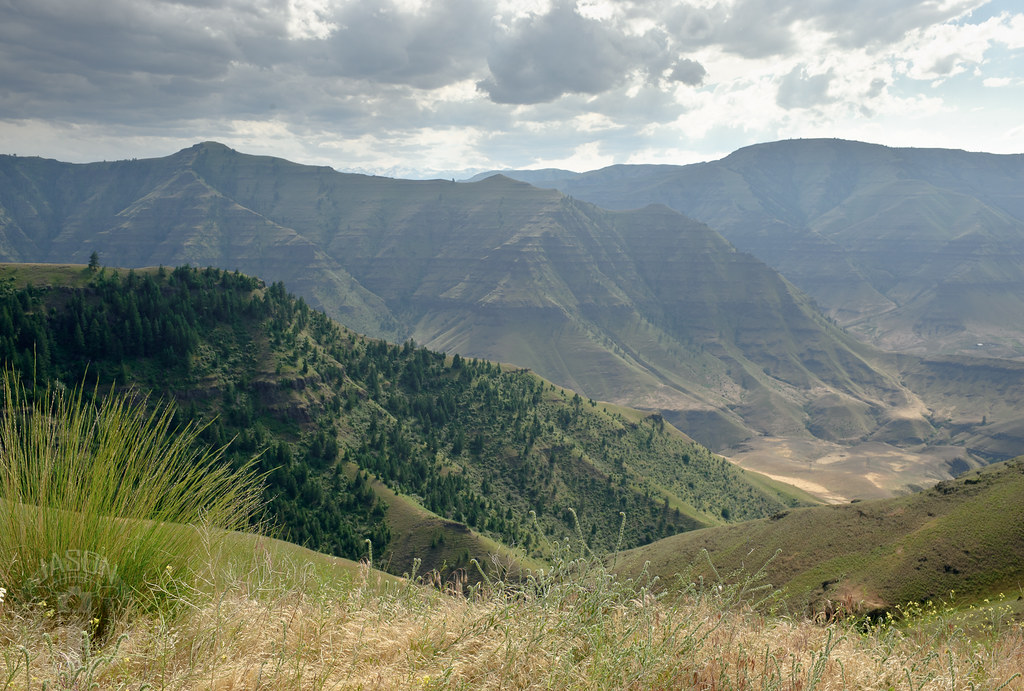
Mountains outside Imnaha
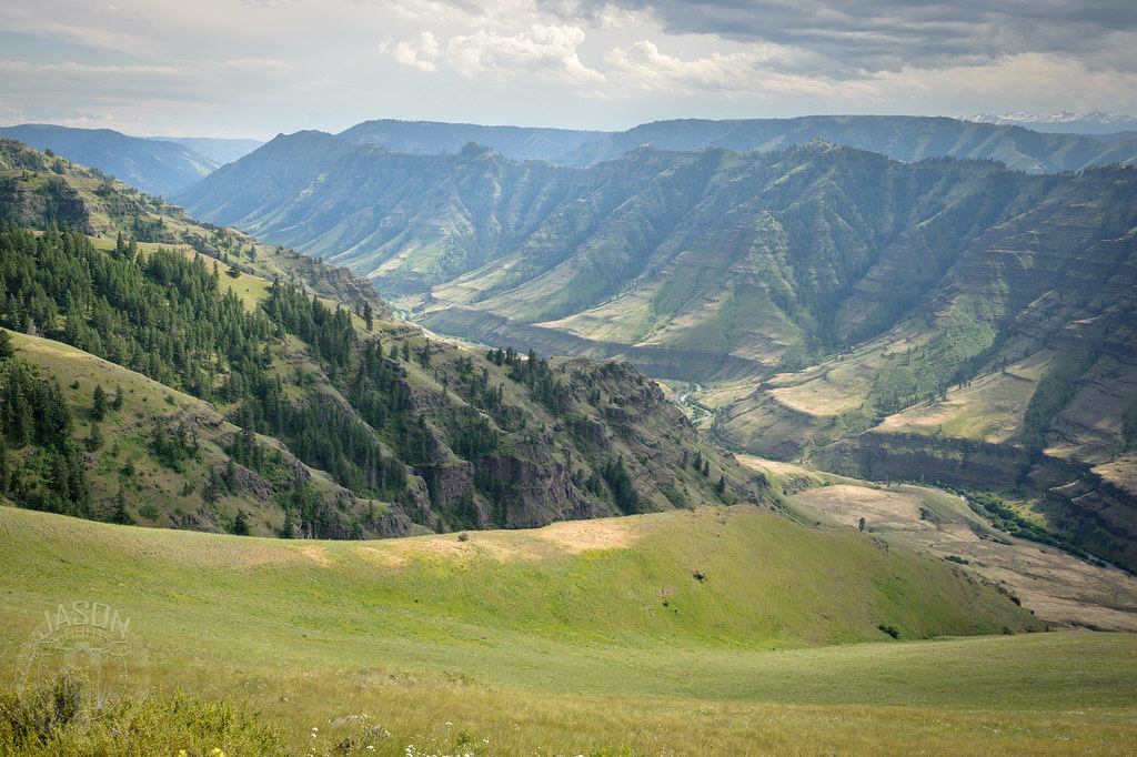
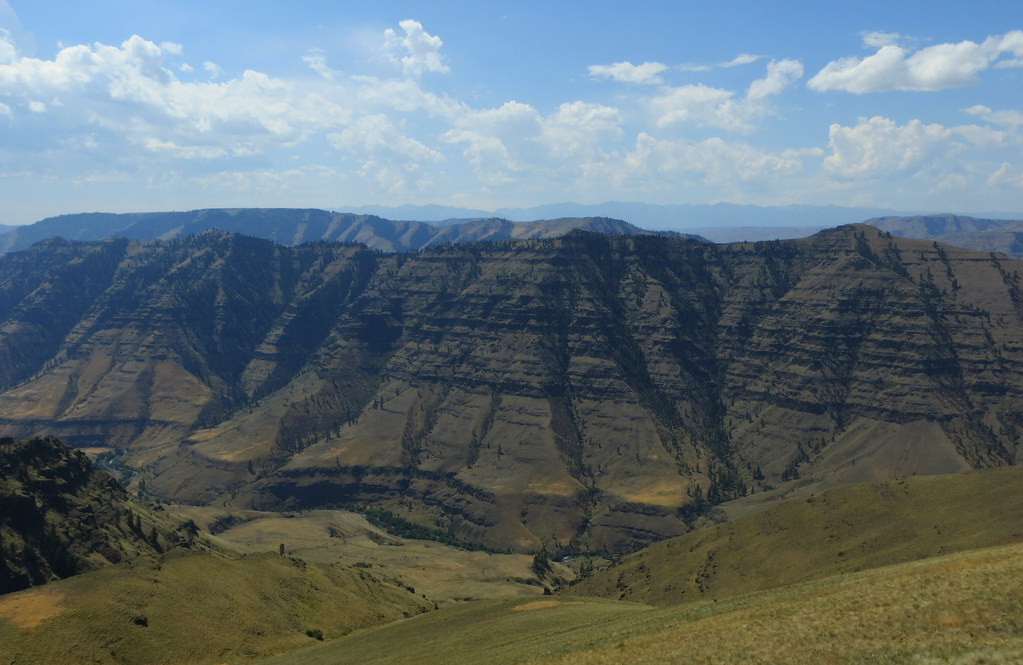
Imnaha River Valley

Imnaha River Canyon
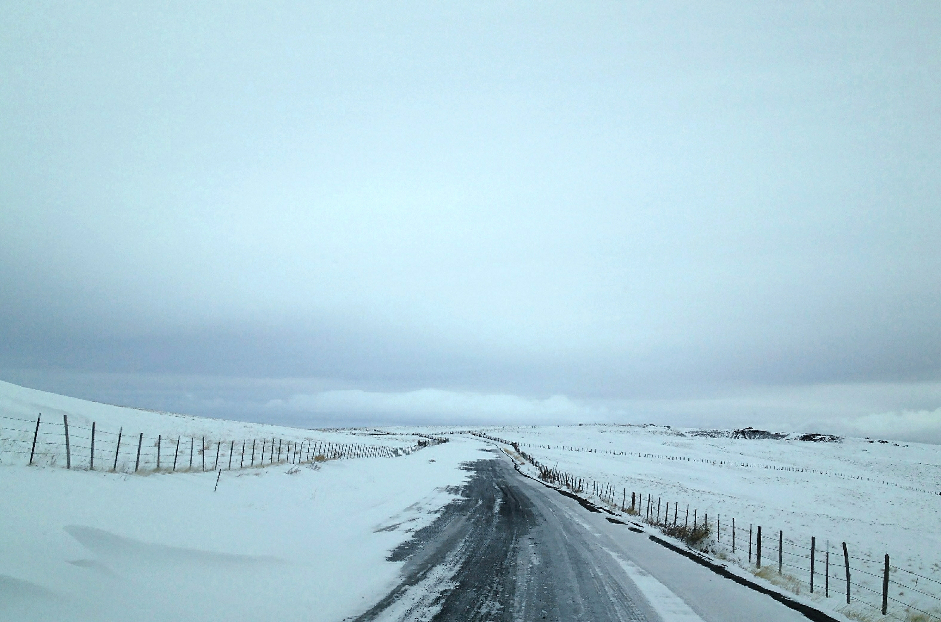
1-10-14 Harsh Day on the Zumwalt-Imnaha Rd North of Enterprise
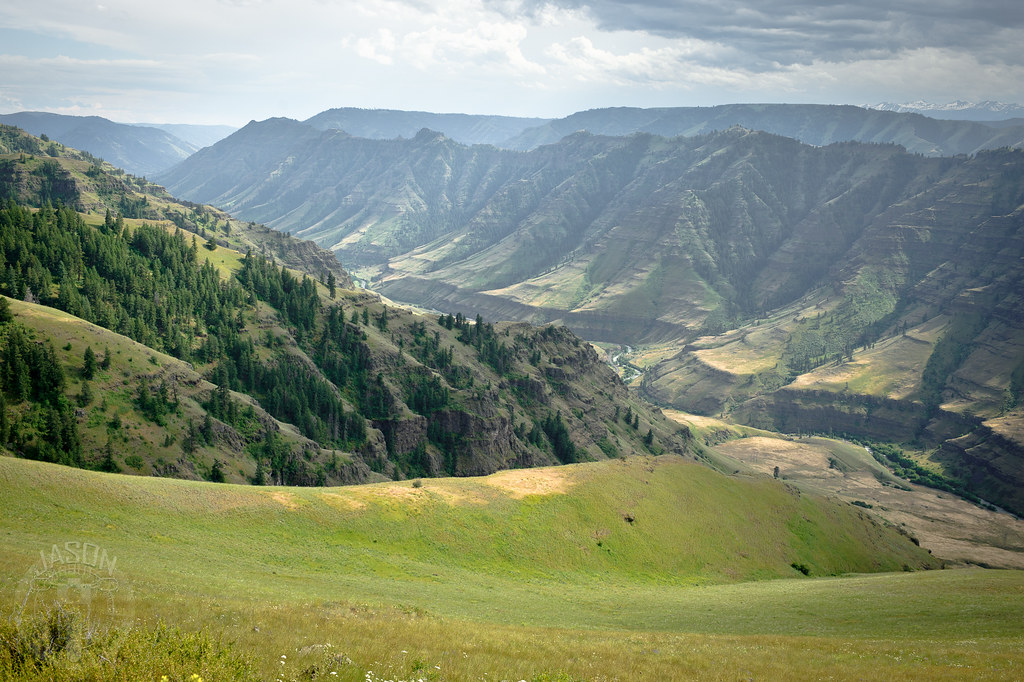
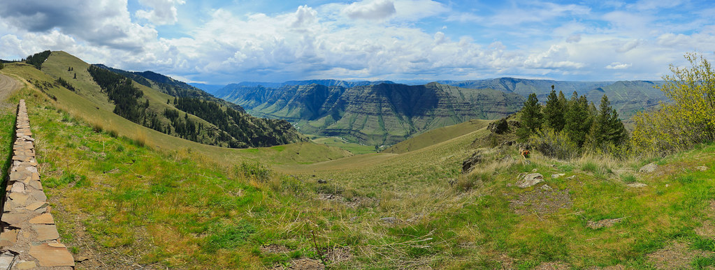
Imnaha River Valley

Imnaha River Valley panorama
At the edge of Hat Point Road

Imnaha River Valley

1-10-14 Cold Windy Day in the Hills North of Enterprise
At the edge of Hat Point Road
worth it

The green down in the valley is the big city of Imnaha.
Topographic Map of Wallowa County, OR, USA
Find elevation by address:

Places in Wallowa County, OR, USA:
Places near Wallowa County, OR, USA:
Imnaha
Elk Mt Rd, Joseph, OR, USA
Joseph Creek Road
Hells Canyon National Recreation Area
Klages Road
Klages Road
Enterprise
Joseph
703 Golf Course Rd
Wallowa Lake
River Canyon Rd, Imnaha, OR, USA
61099 Old Ski Run Rd
Wallowa Lake State Park
59888 Wallowa Lake Hwy
Cache Creek Ranch
81202 Reavis Ln
Flora
Lostine
Elizabeth St, Lostine, OR, USA
Lostine
Recent Searches:
- Elevation of Corso Fratelli Cairoli, 35, Macerata MC, Italy
- Elevation of Tallevast Rd, Sarasota, FL, USA
- Elevation of 4th St E, Sonoma, CA, USA
- Elevation of Black Hollow Rd, Pennsdale, PA, USA
- Elevation of Oakland Ave, Williamsport, PA, USA
- Elevation of Pedrógão Grande, Portugal
- Elevation of Klee Dr, Martinsburg, WV, USA
- Elevation of Via Roma, Pieranica CR, Italy
- Elevation of Tavkvetili Mountain, Georgia
- Elevation of Hartfords Bluff Cir, Mt Pleasant, SC, USA