Elevation of Elizabeth St, Lostine, OR, USA
Location: United States > Oregon > Wallowa County > Lostine >
Longitude: -117.43010
Latitude: 45.487031
Elevation: 1027m / 3369feet
Barometric Pressure: 90KPa
Elevation Map:
Satellite Map:
Related Photos:
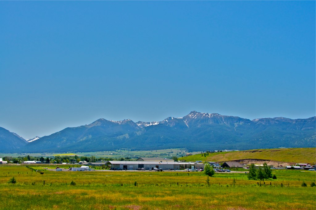
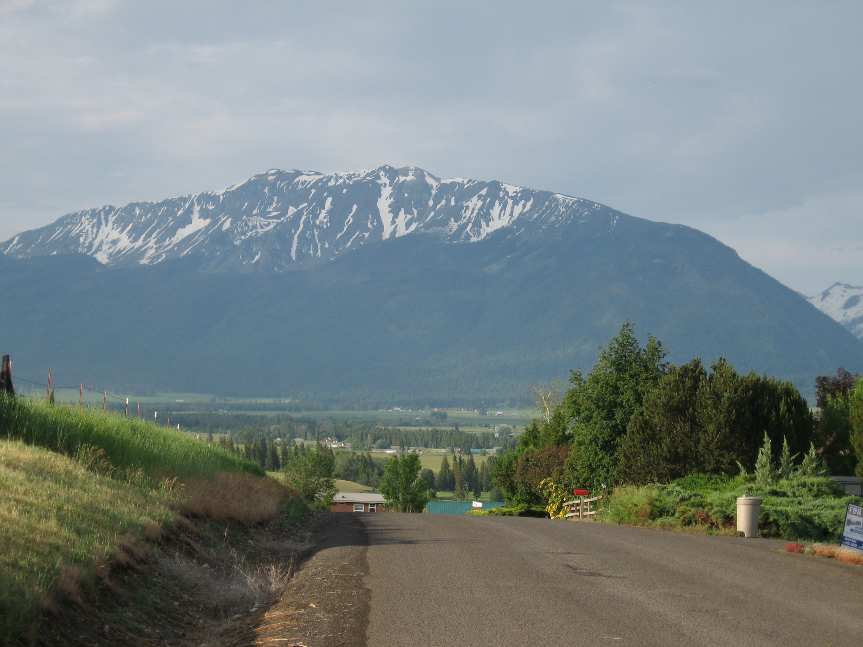
View from the Rattlesnake Grade
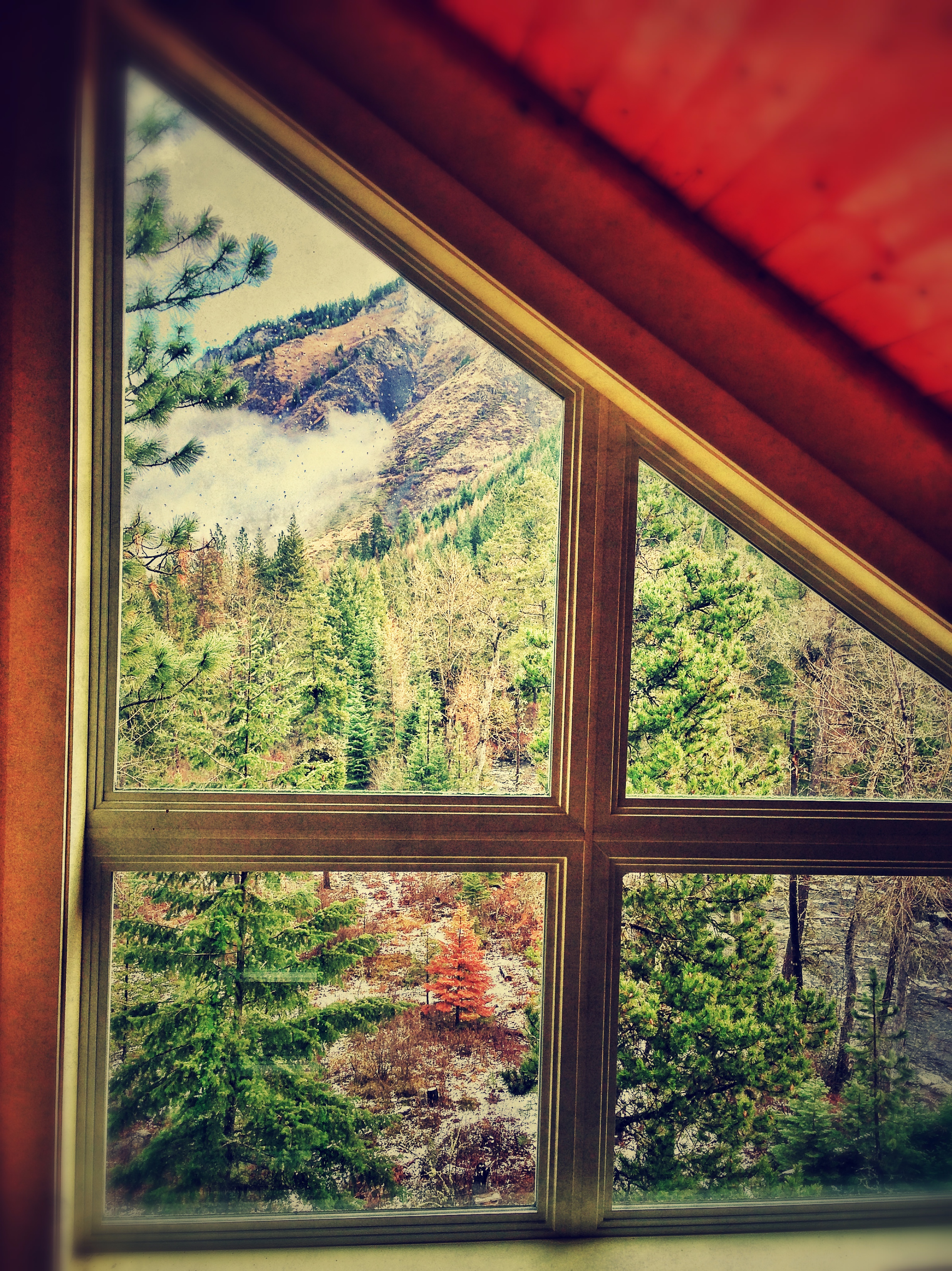
View from the Loft.
2008-07-01 03 View from Munyon's .JPG
View south to the Wallowa Mountains...sorta

2008-07-01 02 View from Munyon's.JPG

A Room With A View
2008-07-01 01 View from Munyon's.JPG

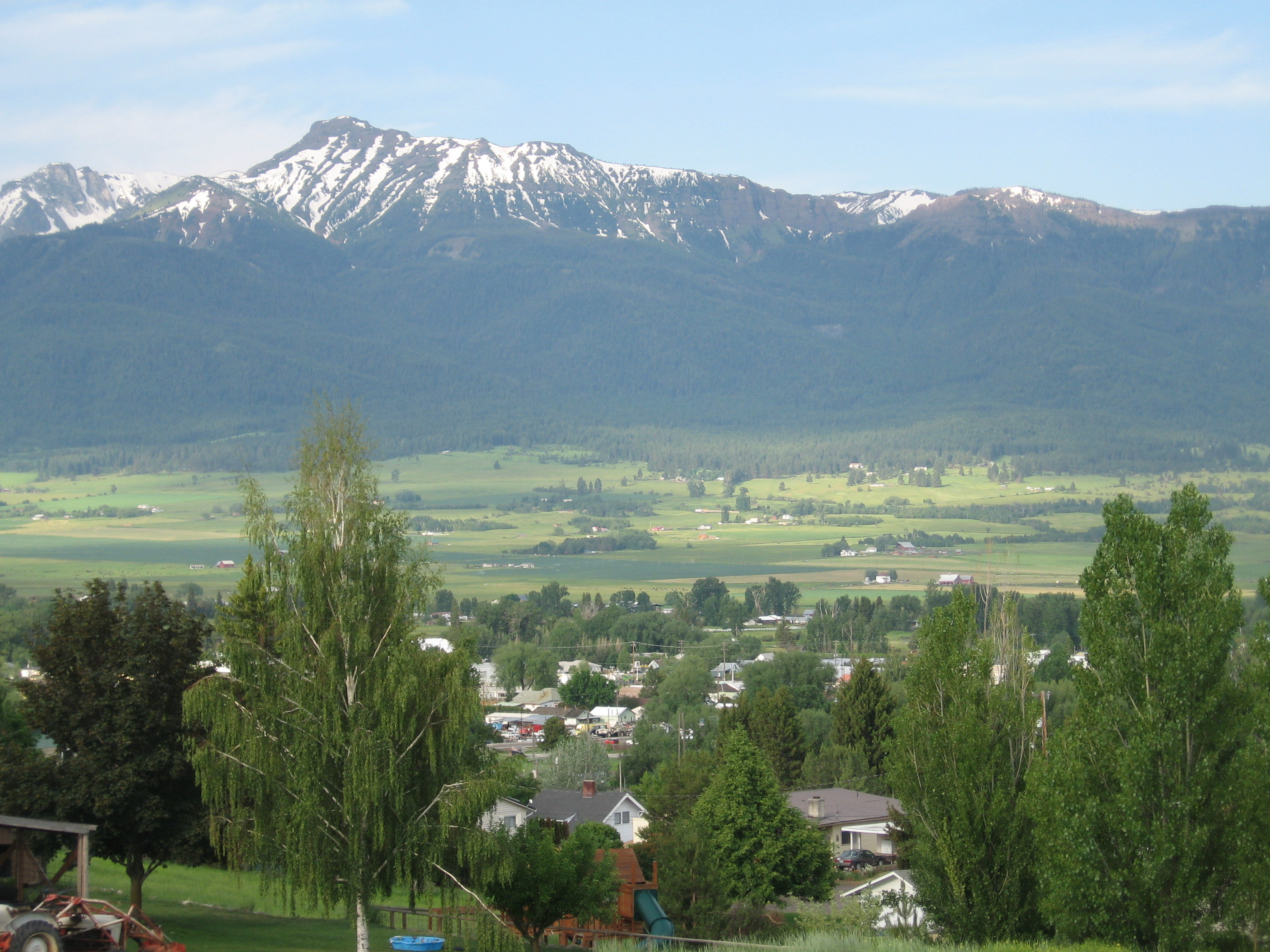
View from Little Nell Ranch

Lostine barn. Wallowa county, Oregon.

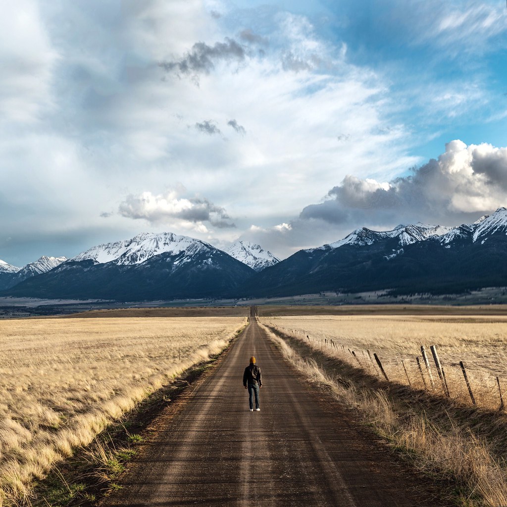
78 of 365 road to nowhere final

leap lane. barn & wallowas. oregon.
road to wallowa mountains. oregon. My good friend @drewbikscube just moved to Hawaii and I'm gonna miss him. Now I have a few more reasons to visit Hawaii.
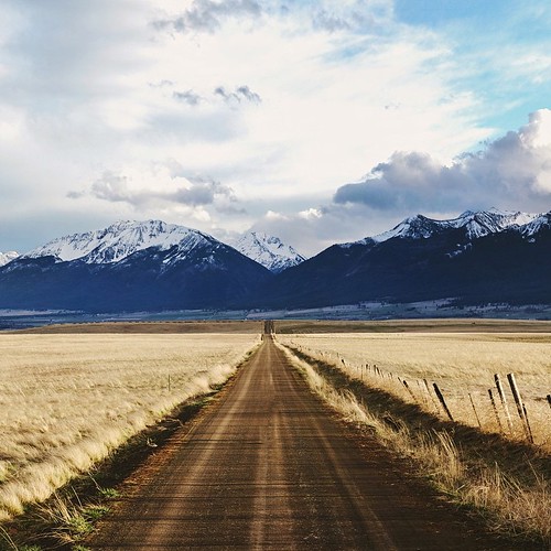
leap lane. wallowa county. oregon.

Hayfields outside Lostine

2004-08-07 0069-70 Panorama 2
Hells Canyon Wilderness #Oregon #mountains #scenic #landscape #travel #explore
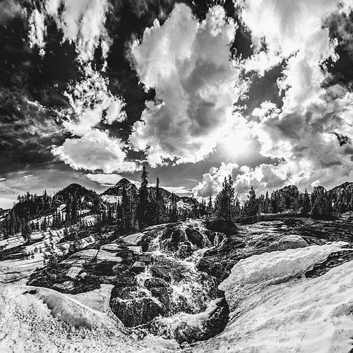
b&w Maxwell creek. Shot at 8000 feet, this is day 64 from the @shoottheskies book.

Wallowa Stitch

1-10-14 Nearing High Ridge North of Enterprise

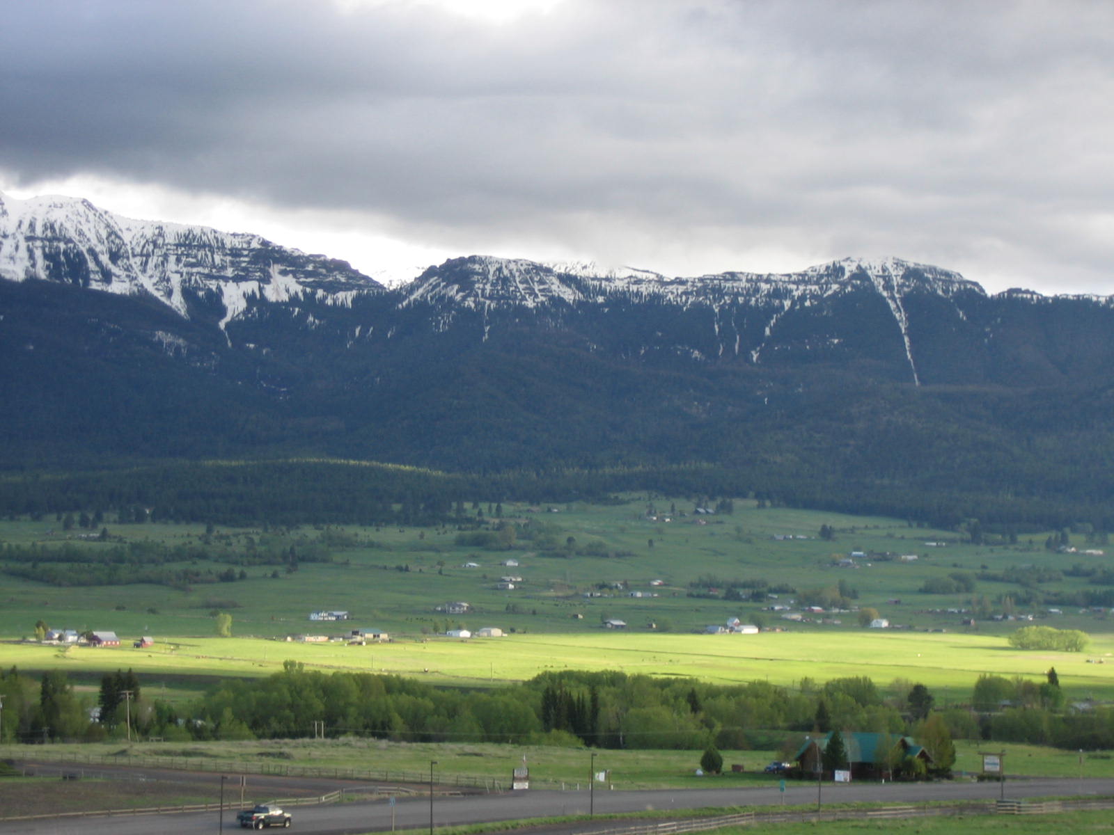
Wallowa Mtns near Joseph, Oregon

Wallowa Valley panorama
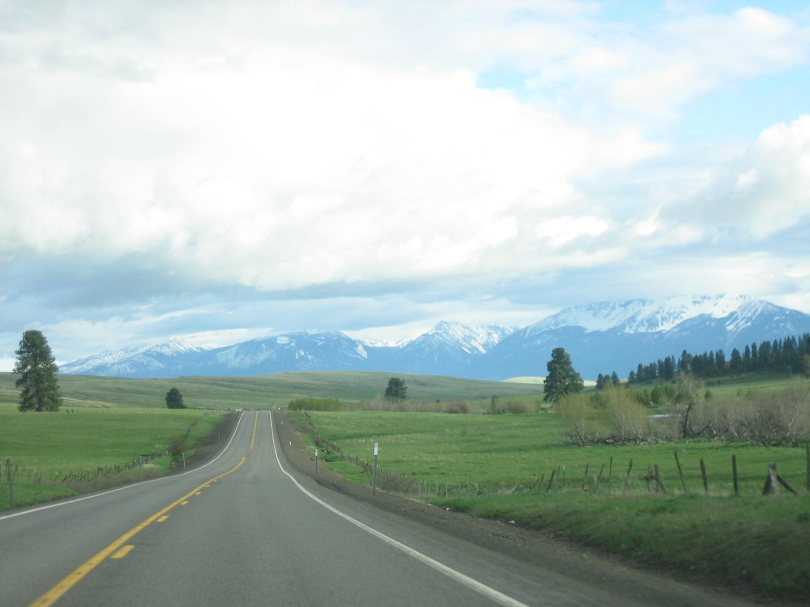
Hwy 3 and Wallowa Mountains
Murray Gap
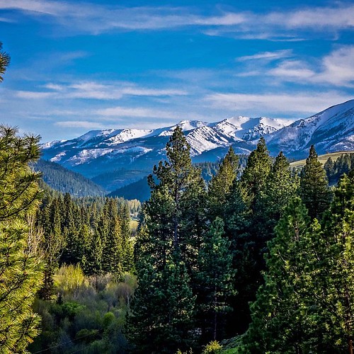
Wallowa Mountains

Long Trek
Topographic Map of Elizabeth St, Lostine, OR, USA
Find elevation by address:

Places near Elizabeth St, Lostine, OR, USA:
Lostine
Lostine
81202 Reavis Ln
Wallowa
703 Golf Course Rd
Diamond Prairie
Enterprise
Wallowa, OR, USA
Elk Mt Rd, Joseph, OR, USA
Joseph
61099 Old Ski Run Rd
Klages Road
Klages Road
Wallowa Lake
Maxville
Wallowa Lake State Park
59888 Wallowa Lake Hwy
Minam River
Minam
Promise
Recent Searches:
- Elevation of Corso Fratelli Cairoli, 35, Macerata MC, Italy
- Elevation of Tallevast Rd, Sarasota, FL, USA
- Elevation of 4th St E, Sonoma, CA, USA
- Elevation of Black Hollow Rd, Pennsdale, PA, USA
- Elevation of Oakland Ave, Williamsport, PA, USA
- Elevation of Pedrógão Grande, Portugal
- Elevation of Klee Dr, Martinsburg, WV, USA
- Elevation of Via Roma, Pieranica CR, Italy
- Elevation of Tavkvetili Mountain, Georgia
- Elevation of Hartfords Bluff Cir, Mt Pleasant, SC, USA