Elevation of Minam, OR, USA
Location: United States > Oregon > Wallowa County >
Longitude: -117.714104
Latitude: 45.631329
Elevation: 1092m / 3583feet
Barometric Pressure: 0KPa
Related Photos:

leap lane. wallowa county. oregon.

DSCF4608.JPG
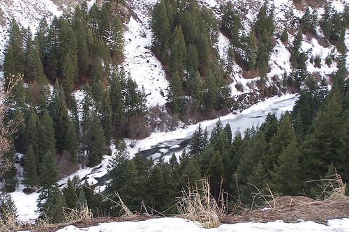
Frozen River
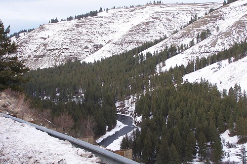
Frozen River
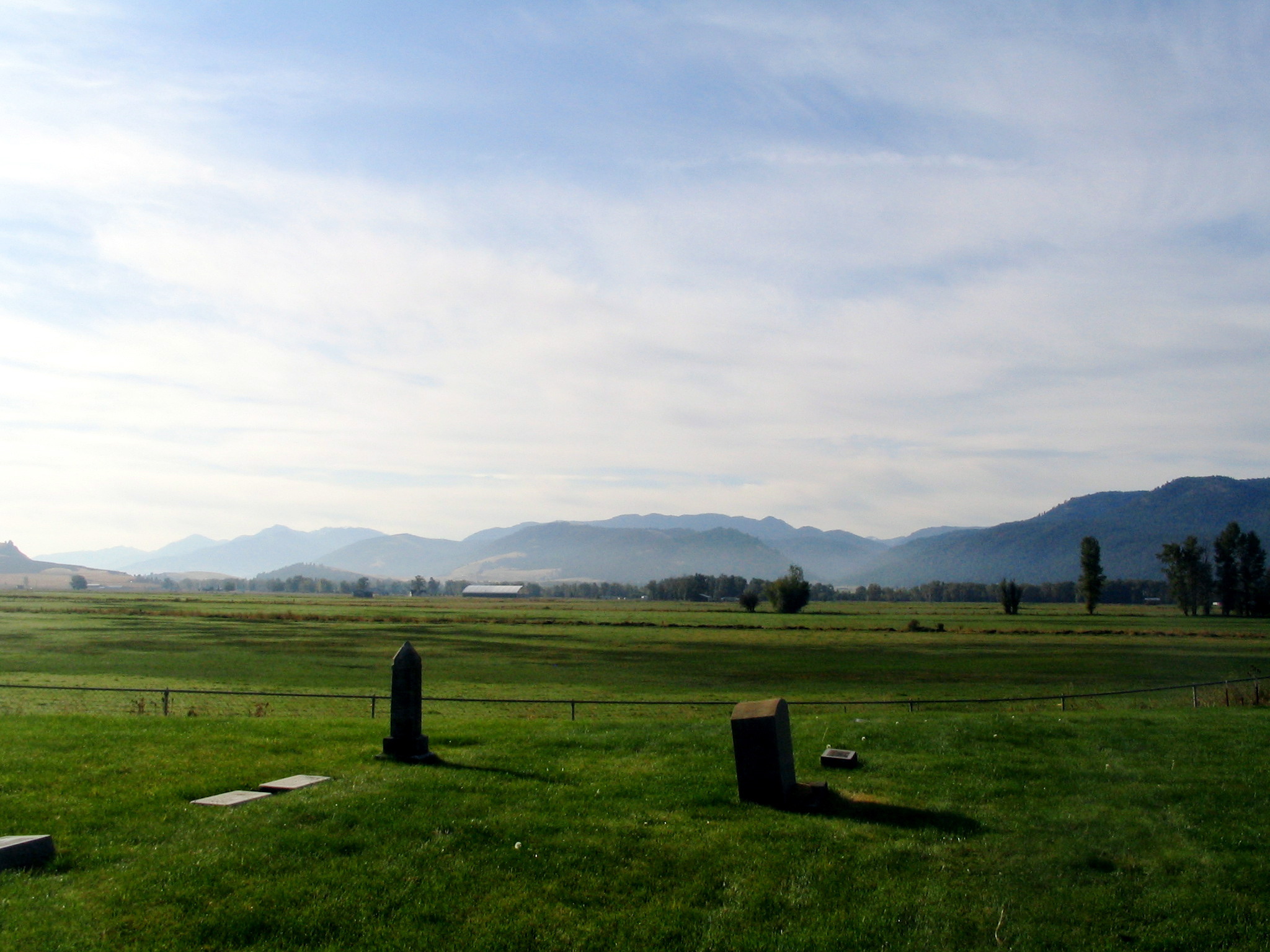
bramlet memorial cemetery - wallowa, or
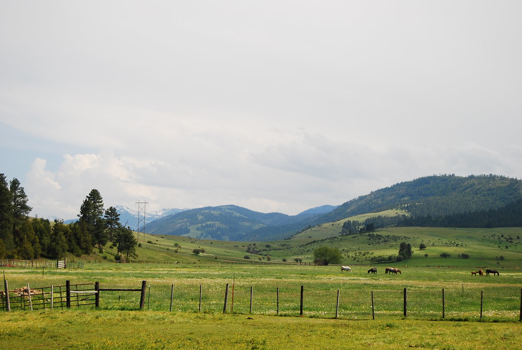
Wallowa Spring Meadow
Frozen River

Sunrise Over the Mill

bramlet memorial cemetery - wallowa, or

Sunrise on the Farm
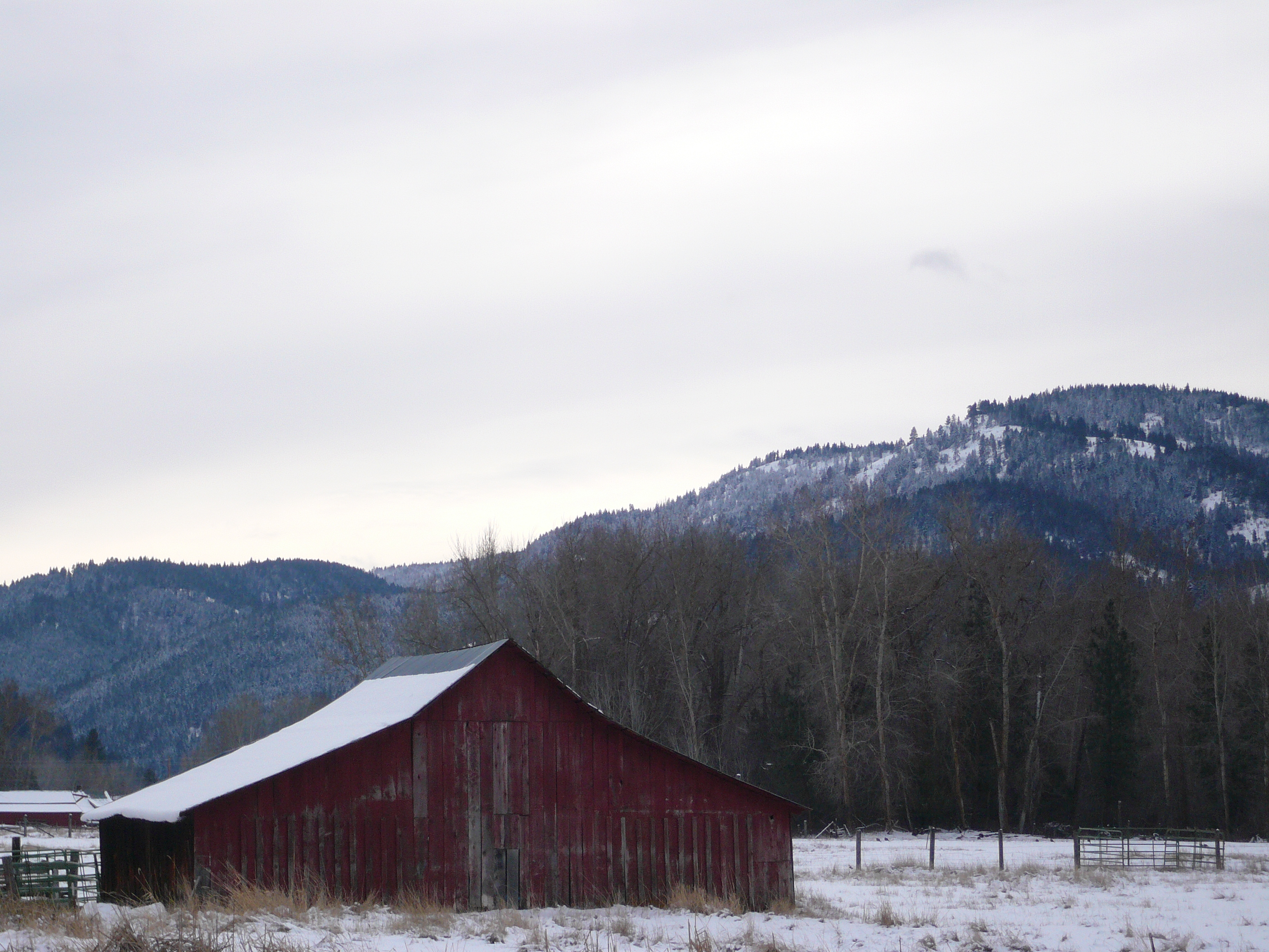
Faded Red Barn

DSCF4607.JPG

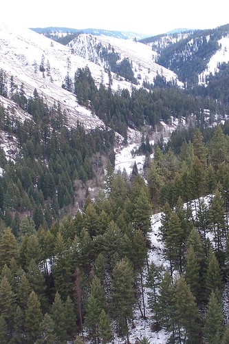
Foggy Mountains

bramlet memorial cemetery - wallowa, or

DSCF4604.JPG

Wallowa River

S S S

Yellow Avalanche Lily

Wallowa Countryside

21 Trees

DSC06373 (3) Retired John Deer
Topographic Map of Minam, OR, USA
Find elevation by address:

Places near Minam, OR, USA:
Minam River
74286 Thompson Rd
75381 Thompson Rd
Diamond Prairie
Maxville
Wallowa
Elgin
Wallowa, OR, USA
71368 Valley View Rd
Promise
Imbler
Lostine
Jubilee Lake
Elizabeth St, Lostine, OR, USA
Lostine
Jefferson St, Summerville, OR, USA
76160 Eden Ln
Tollgate
Troy
81202 Reavis Ln
Recent Searches:
- Elevation of 2881, Chabot Drive, San Bruno, San Mateo County, California, 94066, USA
- Elevation of 10370, West 107th Circle, Westminster, Jefferson County, Colorado, 80021, USA
- Elevation of 611, Roman Road, Old Ford, Bow, London, England, E3 2RW, United Kingdom
- Elevation of 116, Beartown Road, Underhill, Chittenden County, Vermont, 05489, USA
- Elevation of Window Rock, Colfax County, New Mexico, 87714, USA
- Elevation of 4807, Rosecroft Street, Kempsville Gardens, Virginia Beach, Virginia, 23464, USA
- Elevation map of Matawinie, Quebec, Canada
- Elevation of Sainte-Émélie-de-l'Énergie, Matawinie, Quebec, Canada
- Elevation of Rue du Pont, Sainte-Émélie-de-l'Énergie, Matawinie, Quebec, J0K2K0, Canada
- Elevation of 8, Rue de Bécancour, Blainville, Thérèse-De Blainville, Quebec, J7B1N2, Canada
- Elevation of Wilmot Court North, 163, University Avenue West, Northdale, Waterloo, Region of Waterloo, Ontario, N2L6B6, Canada
- Elevation map of Panamá Province, Panama
- Elevation of Balboa, Panamá Province, Panama
- Elevation of San Miguel, Balboa, Panamá Province, Panama
- Elevation of Isla Gibraleón, San Miguel, Balboa, Panamá Province, Panama
- Elevation of 4655, Krischke Road, Schulenburg, Fayette County, Texas, 78956, USA
- Elevation of Carnegie Avenue, Downtown Cleveland, Cleveland, Cuyahoga County, Ohio, 44115, USA
- Elevation of Walhonding, Coshocton County, Ohio, USA
- Elevation of Clifton Down, Clifton, Bristol, City of Bristol, England, BS8 3HU, United Kingdom
- Elevation map of Auvergne-Rhône-Alpes, France