Elevation of Maxville, OR, USA
Location: United States > Oregon > Wallowa County >
Longitude: -117.55583
Latitude: 45.74611
Elevation: 1238m / 4062feet
Barometric Pressure: 87KPa
Elevation Map:
Satellite Map:
Related Photos:
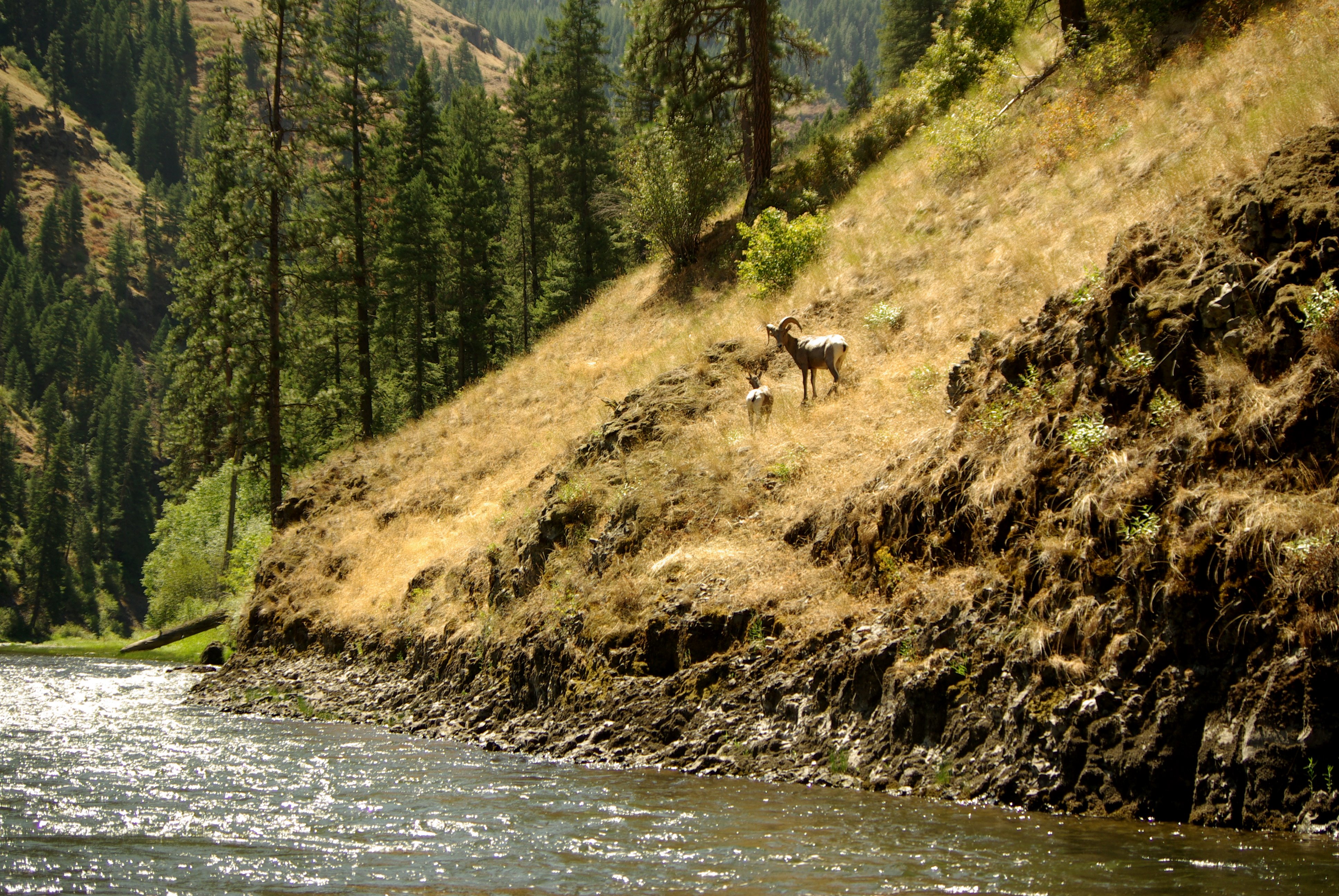
Bighorn Pair
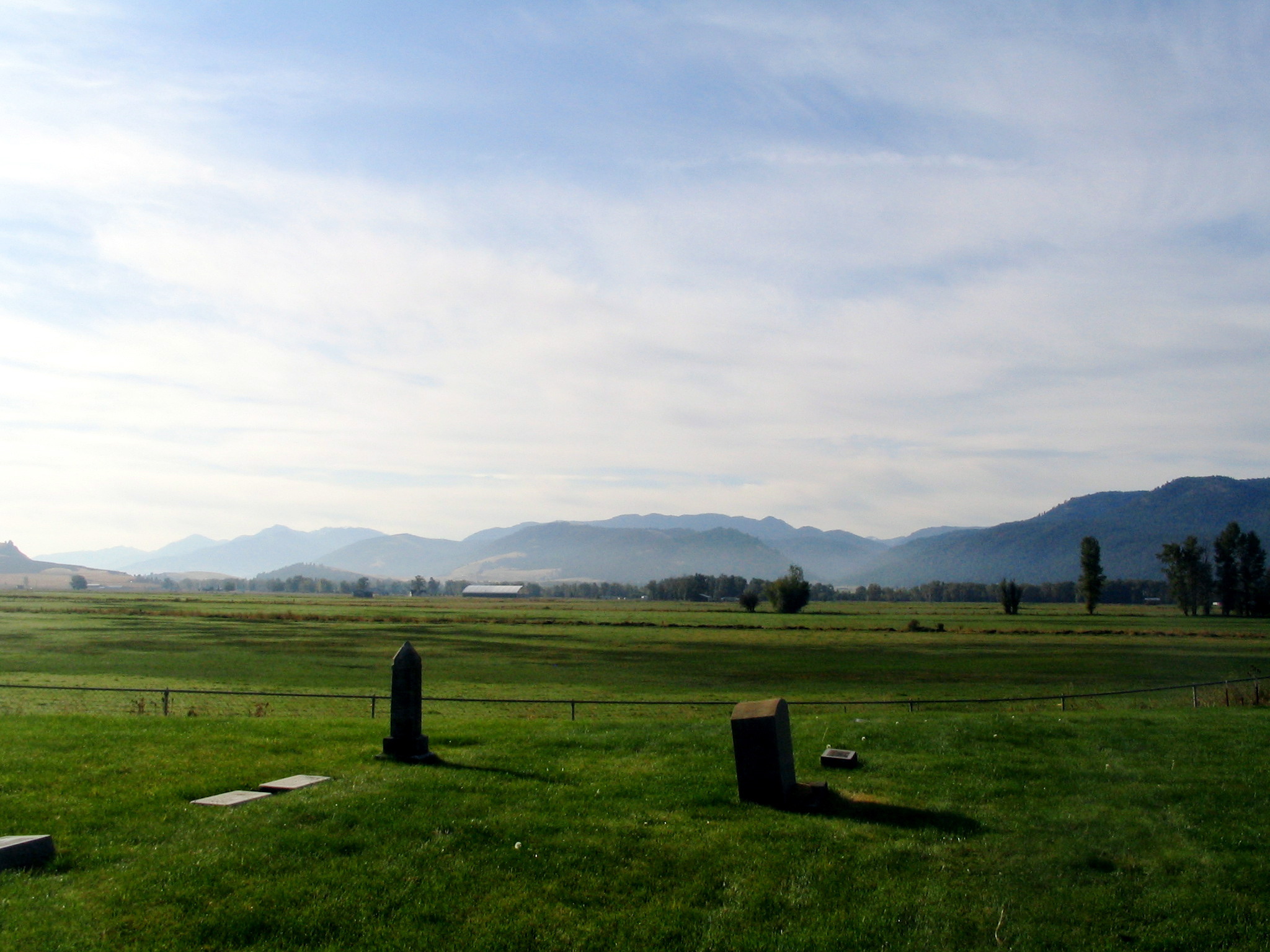
bramlet memorial cemetery - wallowa, or

bramlet memorial cemetery - wallowa, or

bramlet memorial cemetery - wallowa, or

Red Columbine
Topographic Map of Maxville, OR, USA
Find elevation by address:

Places near Maxville, OR, USA:
Promise
Wallowa, OR, USA
76160 Eden Ln
Diamond Prairie
Wallowa
Minam
Minam River
Troy
75381 Thompson Rd
74286 Thompson Rd
Lostine
Lostine
Elizabeth St, Lostine, OR, USA
Flora
Joseph Creek Road
81202 Reavis Ln
Elgin
703 Golf Course Rd
Jubilee Lake
Elk Mt Rd, Joseph, OR, USA
Recent Searches:
- Elevation of Corso Fratelli Cairoli, 35, Macerata MC, Italy
- Elevation of Tallevast Rd, Sarasota, FL, USA
- Elevation of 4th St E, Sonoma, CA, USA
- Elevation of Black Hollow Rd, Pennsdale, PA, USA
- Elevation of Oakland Ave, Williamsport, PA, USA
- Elevation of Pedrógão Grande, Portugal
- Elevation of Klee Dr, Martinsburg, WV, USA
- Elevation of Via Roma, Pieranica CR, Italy
- Elevation of Tavkvetili Mountain, Georgia
- Elevation of Hartfords Bluff Cir, Mt Pleasant, SC, USA