Elevation of Elgin, OR, USA
| Latitude | 45.5648612 |
|---|---|
| Longitude | -117.917434 |
| Elevation | 814m / 2671feet |
| Barometric Pressure | 919KPa |
Related Photos:

pretend it was an accident

In and Around the PacNW
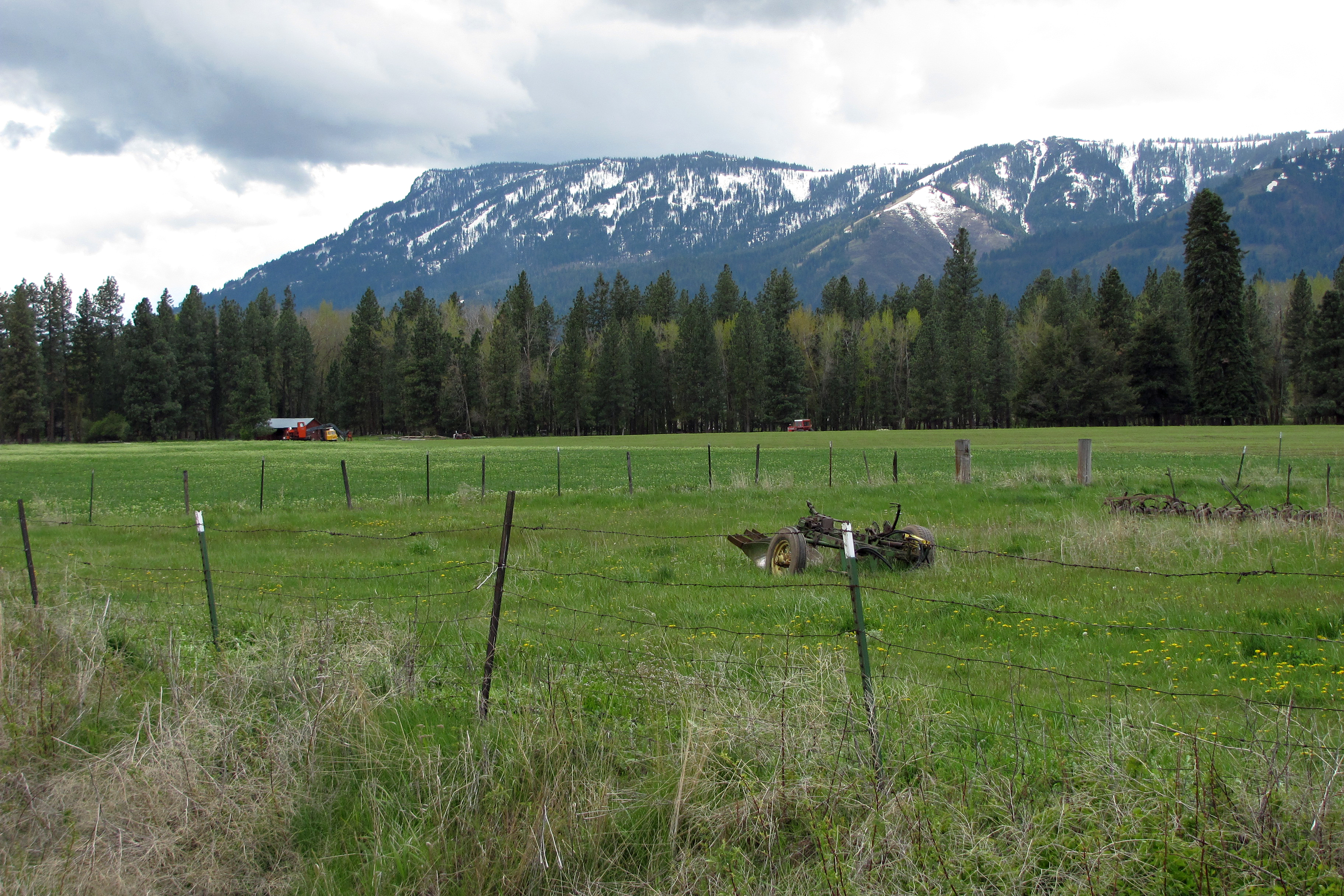
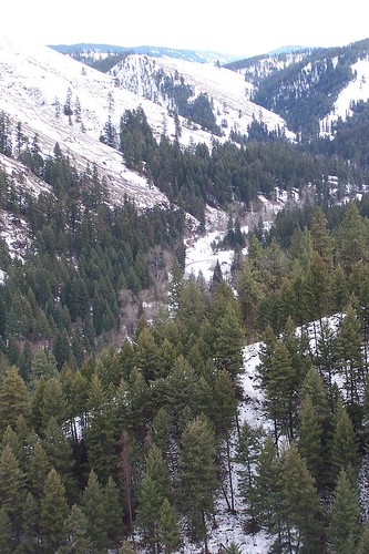
Mount Emily
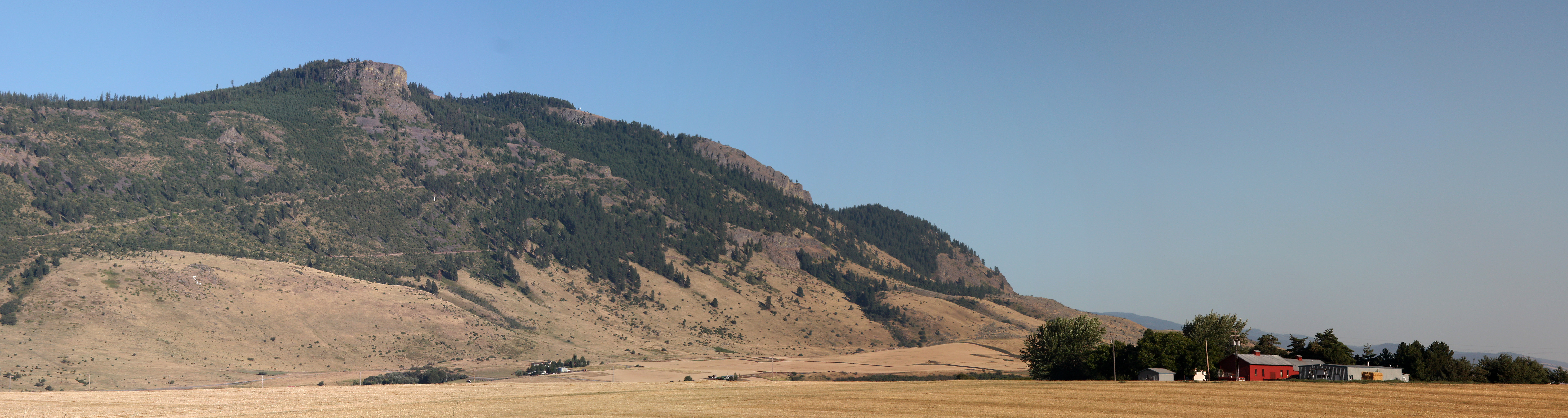
Mount Harris panorama

Wallowa Countryside
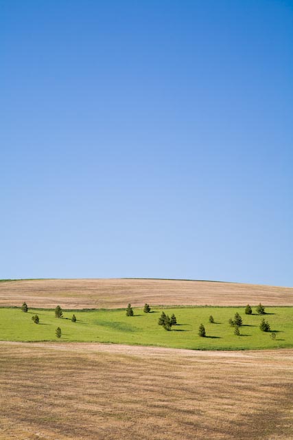
21 Trees
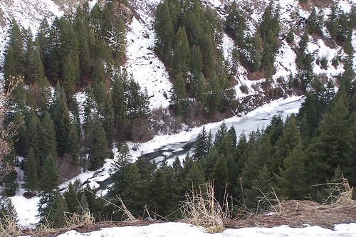
Frozen River
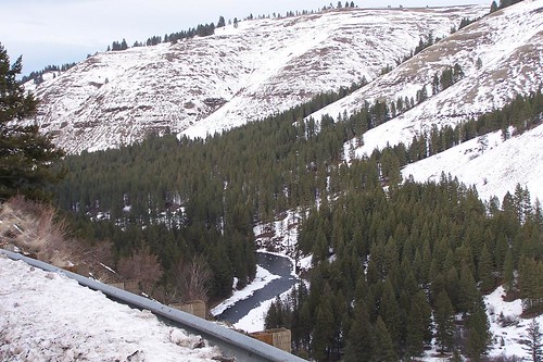
Frozen River
Frozen River

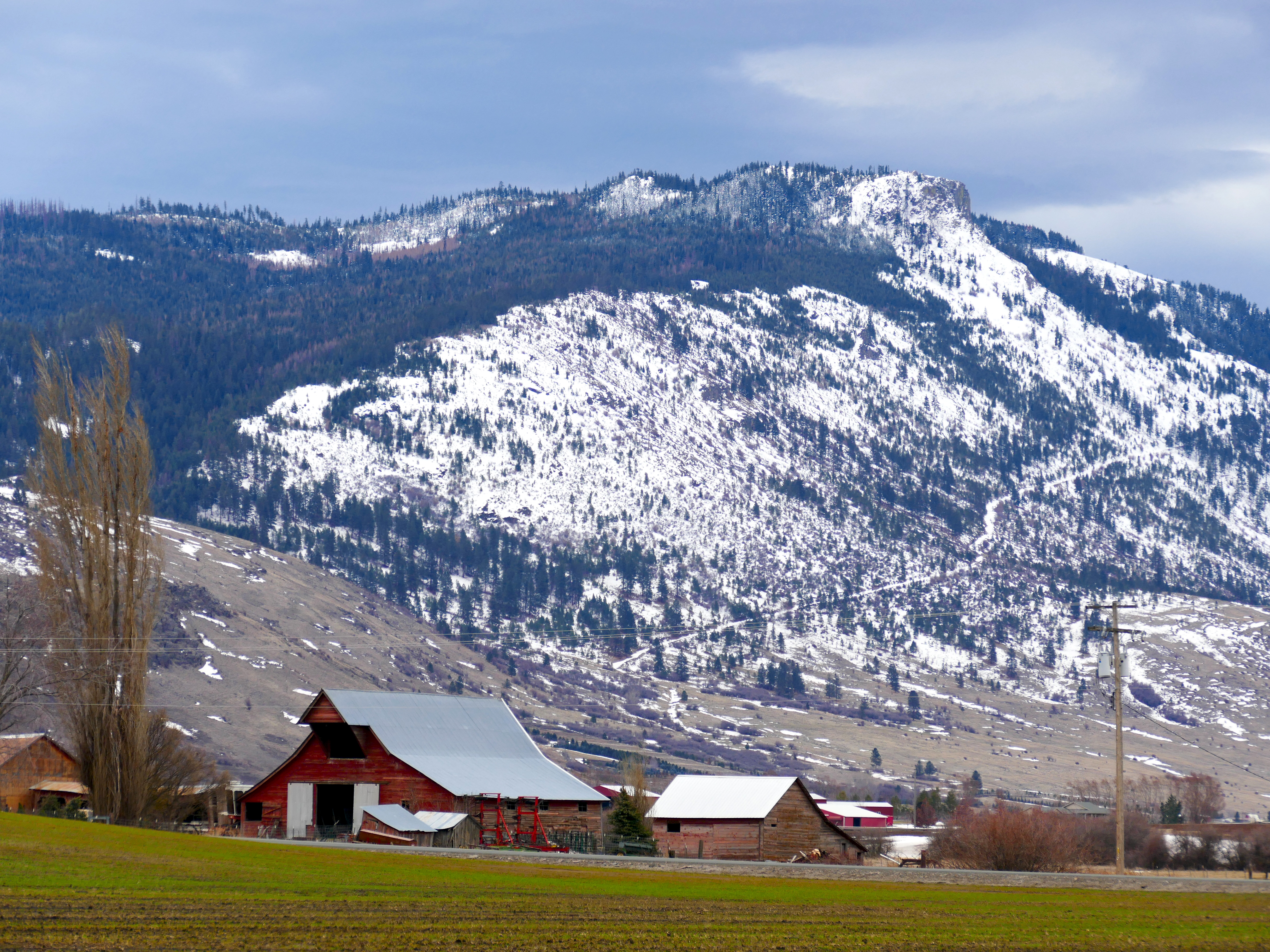
DSC06373 (3) Retired John Deer
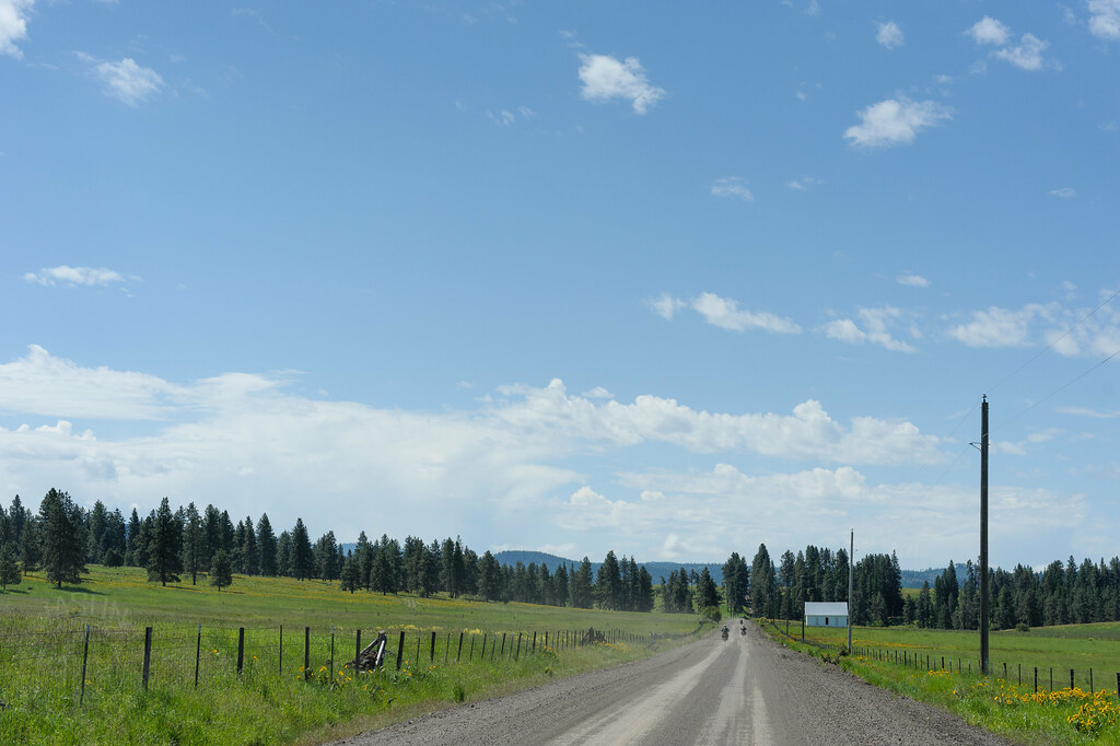
Hindman Road
Mt. Harris
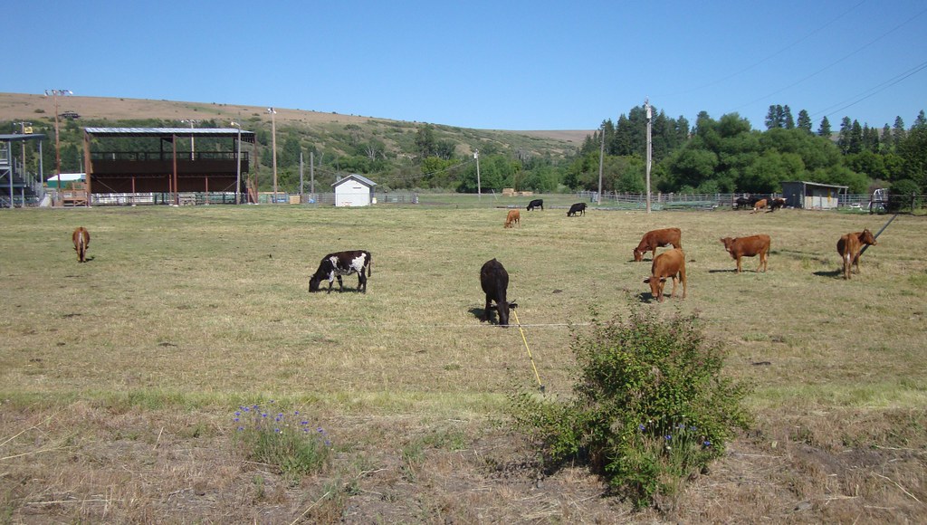
Union County Ranch (Union County, Oregon)
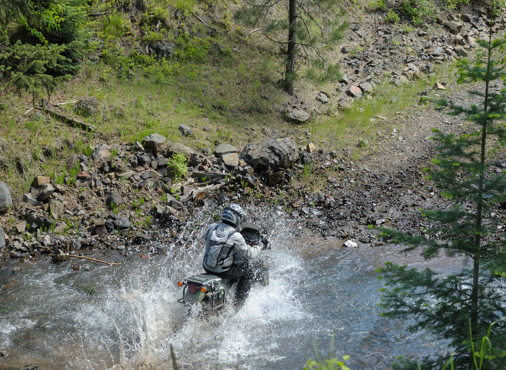
Toni makes a big splash
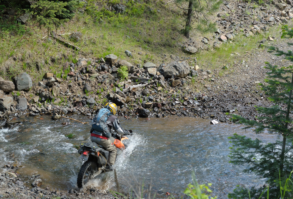
Thane slices through
Phillips Ridge
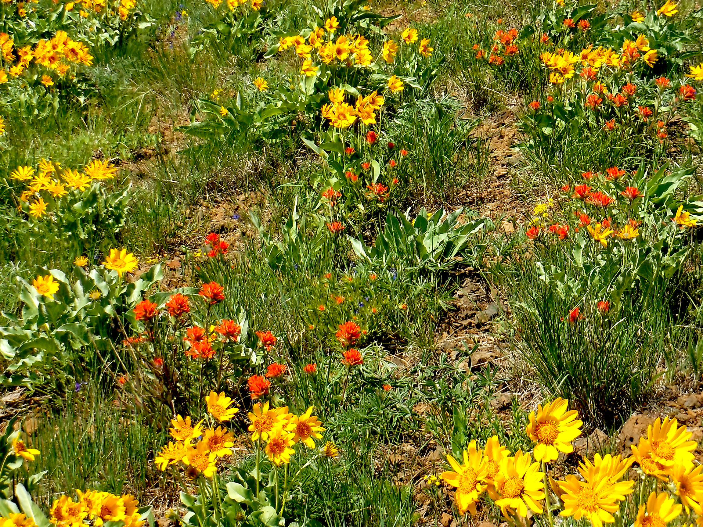
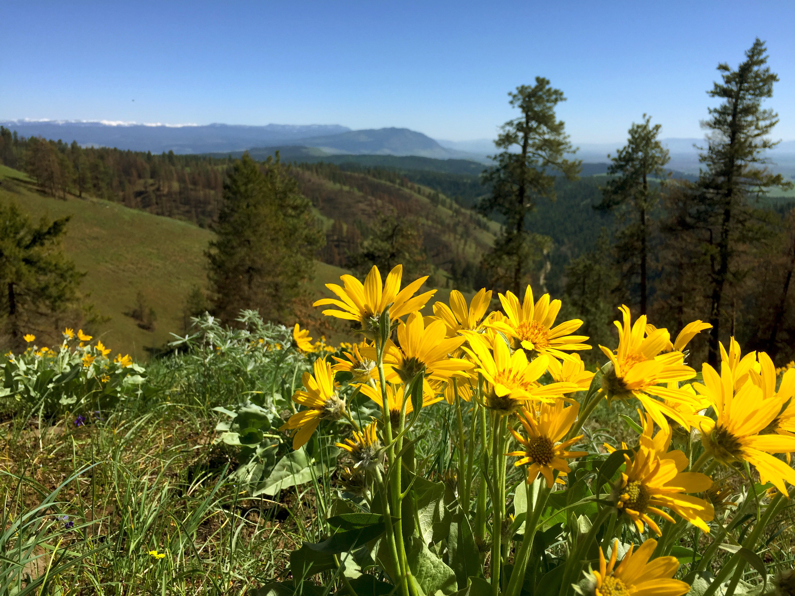
Paint Brush & Balsam Root

In and Around the PacNW

In and Around the PacNW
Air Of Confusion
Up the Creek, Under the Mountain
20BlueFlowerii6-2003
Topographic Map of Elgin, OR, USA
Find elevation by address:
Places in Elgin, OR, USA:
Places near Elgin, OR, USA:
71368 Valley View Rd
Imbler
Jefferson St, Summerville, OR, USA
74286 Thompson Rd
75381 Thompson Rd
Minam River
Minam
63774 Owsley Canyon Rd
Jubilee Lake
Tollgate
La Grande Rendezvous Rv Resort
Adams Ave, La Grande, OR, USA
La Grande
Adams Avenue
1612 7th St
703 12th St
Blue Mountain Conference Center
H Avenue
1608 Oak St
2105 Leo Ln
Recent Searches:
- Elevation map of Central Hungary, Hungary
- Elevation map of Pest, Central Hungary, Hungary
- Elevation of Pilisszentkereszt, Pest, Central Hungary, Hungary
- Elevation of Dharamkot Tahsil, Punjab, India
- Elevation of Bhinder Khurd, Dharamkot Tahsil, Punjab, India
- Elevation of 2881, Chabot Drive, San Bruno, San Mateo County, California, 94066, USA
- Elevation of 10370, West 107th Circle, Westminster, Jefferson County, Colorado, 80021, USA
- Elevation of 611, Roman Road, Old Ford, Bow, London, England, E3 2RW, United Kingdom
- Elevation of 116, Beartown Road, Underhill, Chittenden County, Vermont, 05489, USA
- Elevation of Window Rock, Colfax County, New Mexico, 87714, USA
- Elevation of 4807, Rosecroft Street, Kempsville Gardens, Virginia Beach, Virginia, 23464, USA
- Elevation map of Matawinie, Quebec, Canada
- Elevation of Sainte-Émélie-de-l'Énergie, Matawinie, Quebec, Canada
- Elevation of Rue du Pont, Sainte-Émélie-de-l'Énergie, Matawinie, Quebec, J0K2K0, Canada
- Elevation of 8, Rue de Bécancour, Blainville, Thérèse-De Blainville, Quebec, J7B1N2, Canada
- Elevation of Wilmot Court North, 163, University Avenue West, Northdale, Waterloo, Region of Waterloo, Ontario, N2L6B6, Canada
- Elevation map of Panamá Province, Panama
- Elevation of Balboa, Panamá Province, Panama
- Elevation of San Miguel, Balboa, Panamá Province, Panama
- Elevation of Isla Gibraleón, San Miguel, Balboa, Panamá Province, Panama