Elevation of Wabash St, Alviso, CA, USA

Location: United States > California > Santa Clara County > San Jose > Alviso >

Longitude: -121.97253

Latitude: 37.4273339

Elevation: 1m / 3feet

Barometric Pressure: 101KPa

Elevation Map:

elevation map of Wabash St, Alviso, CA, USA

Satellite Map:

Satellite map of Wabash St, Alviso, CA, USA

Related Photos:

sunset sanfrancisco goldengatebridge evening lowlight canon
Perfect view?
mountainview california googlecampus crittendenlane outdoor horse statue horsestatue wood woodenstatue art sculpture grass grassfield field sunset cloud cloudy 3xp raw nex6 selp1650 photomatix hdr qualityhdr qualityhdrphotography shoreline deborahbutterfield bronze castbronze bronzestatue fav200 siliconvalley
Fire breathing dragon
park mountain canon is view shoreline l usm tern 100400mm forsterstern forsters coth supershot avianexcellence bestcapturesaoi ringexcellence dblringexcellence tplringexcellence
IMG_5922 Forster's Tern Hovering, Mountain View Shoreline Park, California
park mountain view great shoreline explore egret greategret ringexcellence dblringexcellence tplringexcellence
IMG_0173 Here I Come! Mountain View Shoreline Park, CA
park mountain heron night view shoreline nightheron coth coth5
IMG_3580 Black-Crowned Night Heron
bridge illumination cupertino pedestrianbridge
Mary Avenue Bridge
california sculpture horse bluesky mountainview sgi silicongraphics drygrass deborahbutterfield bronzecasting driftwoodhorse
Bronze Horse by Deborah Butterfield
forsterstern shorelineatmountainview paloalto california unitedstates us
Forster's Tern (1st year)
forsterstern shorelineatmountainview paloalto california unitedstates us
Proficient dive bomber - Forster's Tern
birds flying birdwatcher topshot northernharrier circuscyaneus charlestonslough naturescall featheryfriday top20birdshots mountainviewcalifornia specanimal anawesomeshot impressedbeauty avianexcellence goldwildlife treeofhonor bloggedtwe
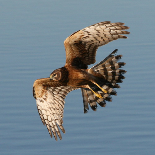
Northern Harrier-IMG_1671-MV baylands-Crop
barnswallow shorelineatmountainview paloalto california unitedstates us
Barn Swallow (immature)
marbledgodwit shorelineatmountainview paloalto california unitedstates us
Marbled Godwit
birds clouds sunrise reflections dawn golden bay san francisco day clear 100views marsh palo alto preserve baylands 7450
Late Again....
greenheron shorelineatmountainview paloalto california unitedstates us
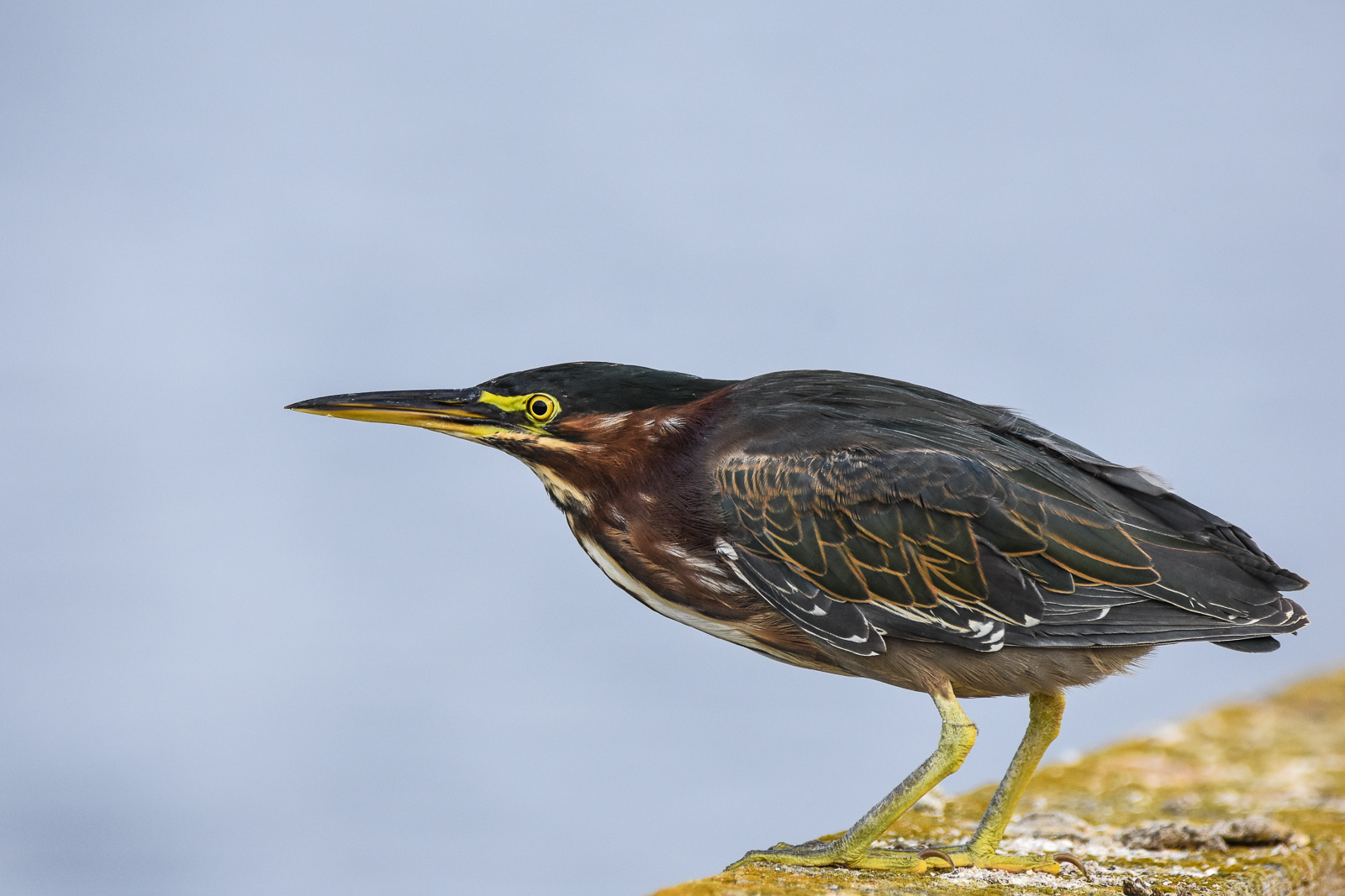
Green Heron (1st summer)
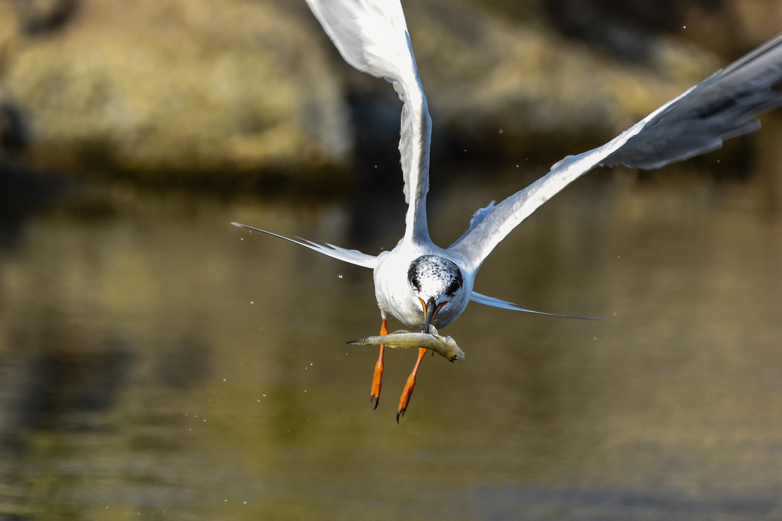
forsterstern shorelineatmountainview paloalto california unitedstates us
Forster's Tern
shorelineatmountainview greateryellowlegs paloalto california unitedstates us
Greater Yellowlegs
mountainview lost potd
Tenny With Glasses
california ca sunset nature landscape google unitedstates shoreline saltpond bayarea mountainview slough moffettfield saltponds missionpeak missionridge monumentpeak mountallison crackedearth lockheadmartin nasaamesresearchcenter bayareasaltponds tonyvanlecom
Cracked Earth
park mountain canon is view shoreline l usm tern 100400mm forsterstern forsters coth greatshots topshots specanimal photosandcalendar natureselegantshots panoramafotografico coth5 theoriginalgoldseal flickrsportal flickrportal ringexcellence dblringexcellence tplringexcellence eltringexcellence
IMG_1380 Let Me Feed You, Honey.
mountainview potd
Reaching High
mountainview potd
Morning Water
california park ca sunset favorite usa lake plant green nature water colors yellow canon landscape landscapes woods waterdrop colorful exposure bayarea greenwater canon60d platinumheartaward
Door of opportunities :)
california ca city longexposure favorite usa mist lake tree beautiful fog canon landscape landscapes interesting famous attitude bayarea canon60d
A foggy night in California
square squareformat iphoneography instagramapp uploaded:by=instagram foursquare:venue=4c0149006f422d7fc6fe401e
Great Long, Slow Day on the LG Creek Trail. The #408 has the best weather in the Bay Area #TeamRunTheBay #RunLocal #GetOnnit #nikeplus
ponds zengardens earlymarch californiagardens mygearandme ringexcellence waterinthegardens dinahsgardenhote
~~Garden of PEACE #2~~
mygearandme bestevercompetitiongroup midnovember2012
~ The SKY Is On FIRE #1 ~
blue trees cloud tree skyline clouds landscape cattle bluesky hills ridge sanfranciscobayarea hillside oldroad treesky sunol calaverasroad landscapesky sunolca cloudseastbay
Green Pastors
longexposure nature water waterfall nikon rocks d7000
Central Park
paloalto cloud clouds nature potd sky
Palo Alto Baylands
blue sky reflection green water clouds mountainview stevenscreektrail
Shade and reflections
sabercatcreektrail fremont california missionpeak
iPhone 5se test
texture 50mm shadows hcs iwonder nikond700 grassbowling flypapertexture •sarahp• clichesaturday heavilyprocessedburmudagrass scavengerhuntshadows
I wonder
biking flower water plant
Sunnyvale sewage treatment ponds
Upside down
There is something about nature that makes me feel happy.
photographyforrecreation rememberthatmomentlevel1 shorelinepark12813
Shoreline Park/1-28-13 #13 ~
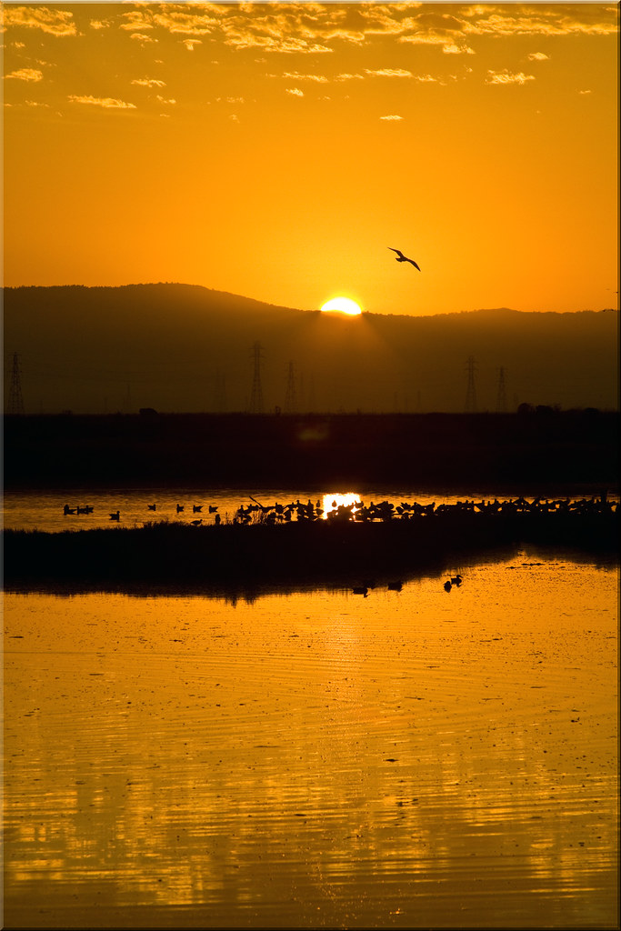
california sunset clouds landscape alviso sigma1020 alvisomarinacountypark abigfave canoneos50d canon50d lee09hardstepgnd
Alviso Blue Hour
californa canadiangeese canon5dmarkiii canonef24105mmf4lisusm geese lightroom5 mountainview santaclaracounty shoreline shorelinepark southbay southsanfranciscobay topazsw
Geese (HSS)
missionpeak fremont california hiking dry dryland path hdr 3xp raw nex6 selp1650 photomatix fav200 siliconvalley sanfranciscobay
Easy way down
square squareformat iphoneography instagramapp uploaded:by=instagram foursquare:venue=4b79913bf964a520f6012fe3
The fog started breaking up yielding scenes like this. The traction as velvety on this trail, I am already looking forward to Saturday's race! #BrazenRacing #CoyoteHills
instagramapp square squareformat iphoneography uploaded:by=instagram
views for days ???? #raggedpoint #bigsur #hiking #landscape #wilderness #optoutside #california
sierravistaopenspacepreserve aquilalooptrail trail hiking sanjose siliconvalley sunset california hdr 2xp raw nex6 selp1650 photomatix fav200 sanfranciscobay
Stop. Look. Enjoy.