Elevation of Calle Del Mundo, Santa Clara, CA, USA
Location: United States > California > Santa Clara County > Santa Clara >
Longitude: -121.9659788
Latitude: 37.4094156
Elevation: 3m / 10feet
Barometric Pressure: 0KPa
Related Photos:
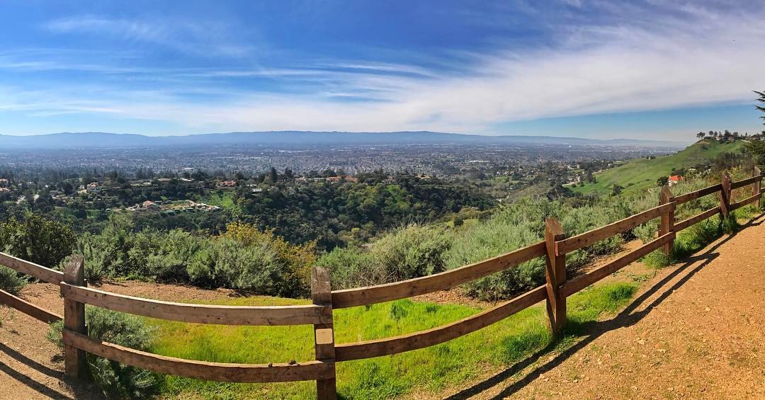
Perfect view?

IMG_1380 Let Me Feed You, Honey.

Reaching High
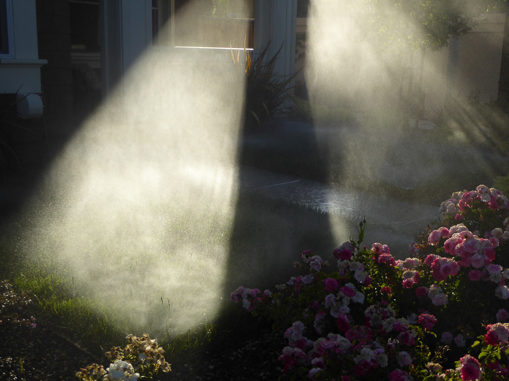
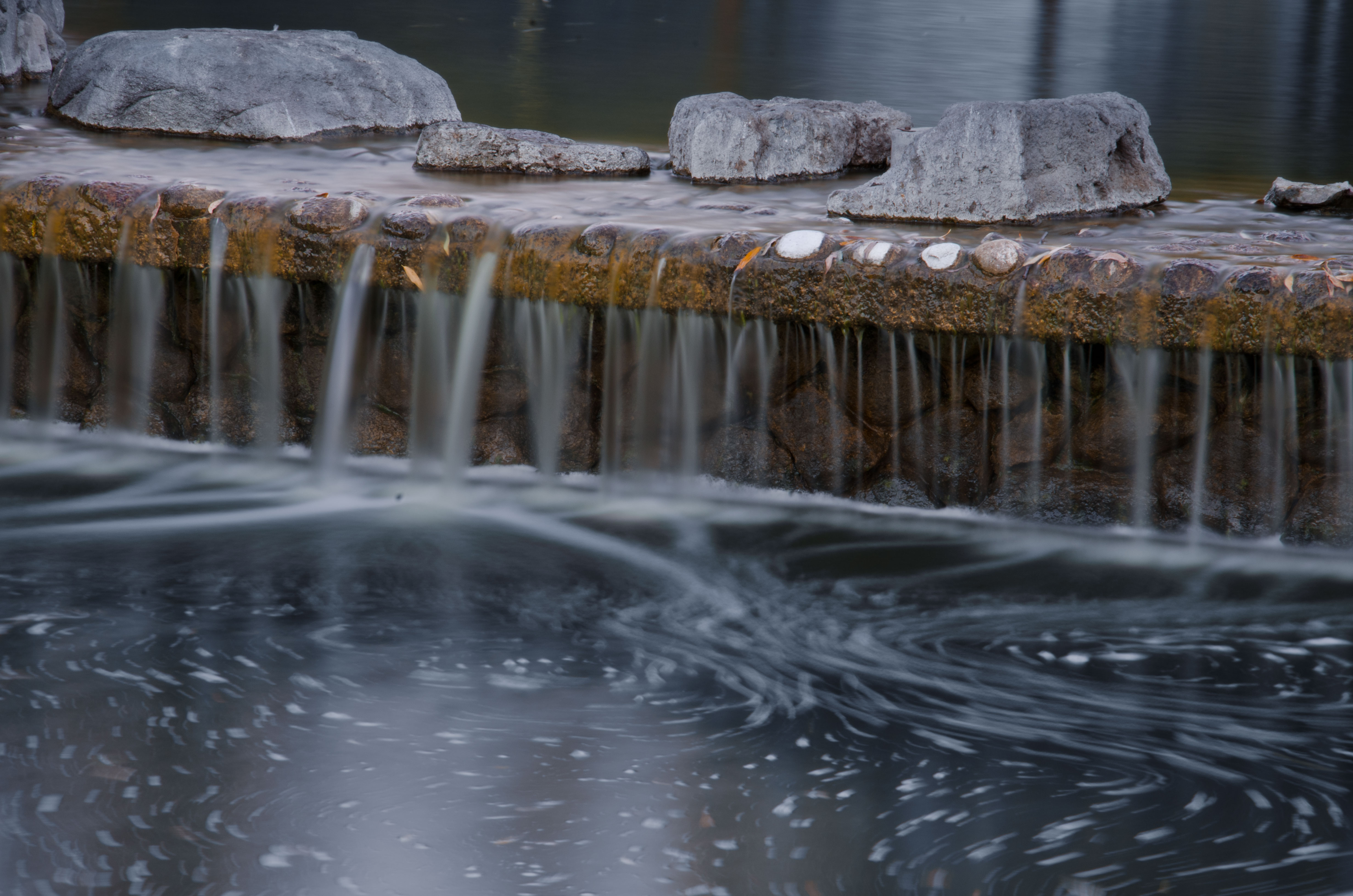
Morning Water
Fire breathing dragon

IMG_5922 Forster's Tern Hovering, Mountain View Shoreline Park, California

IMG_2314 Forster's Tern

IMG_0173 Here I Come! Mountain View Shoreline Park, CA
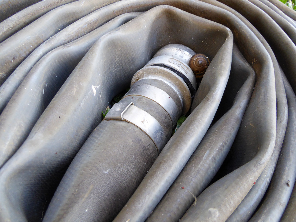
Snail In Hose

IMG_3580 Black-Crowned Night Heron

Mary Avenue Bridge

Jacaranda Litter

DSC01246.JPG
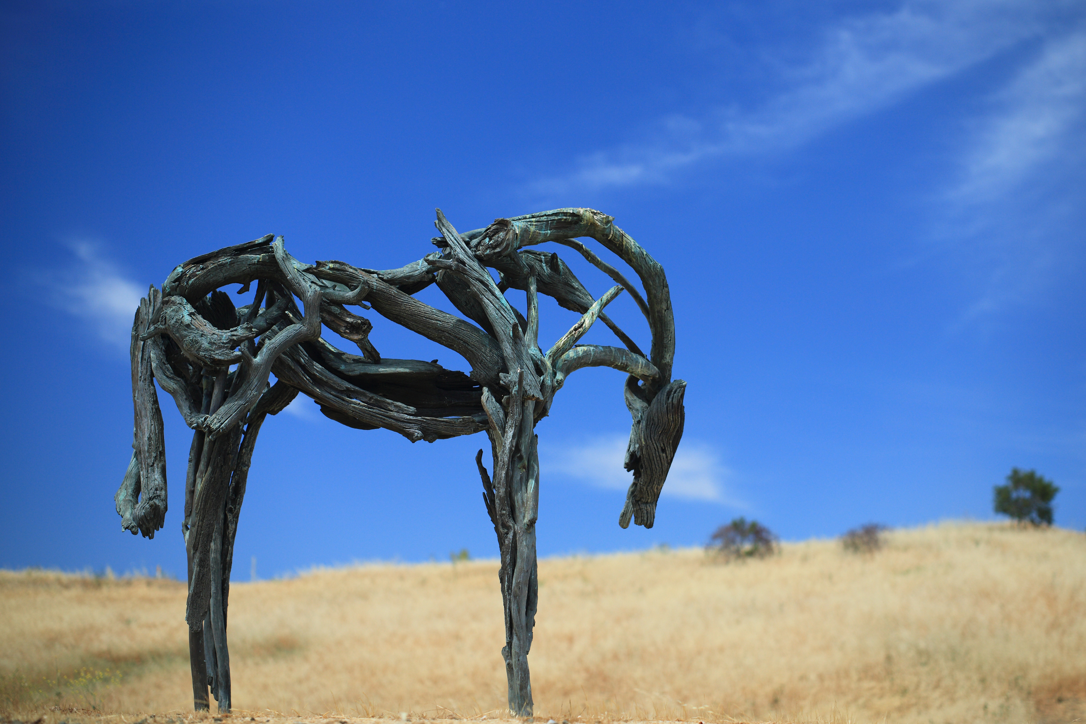
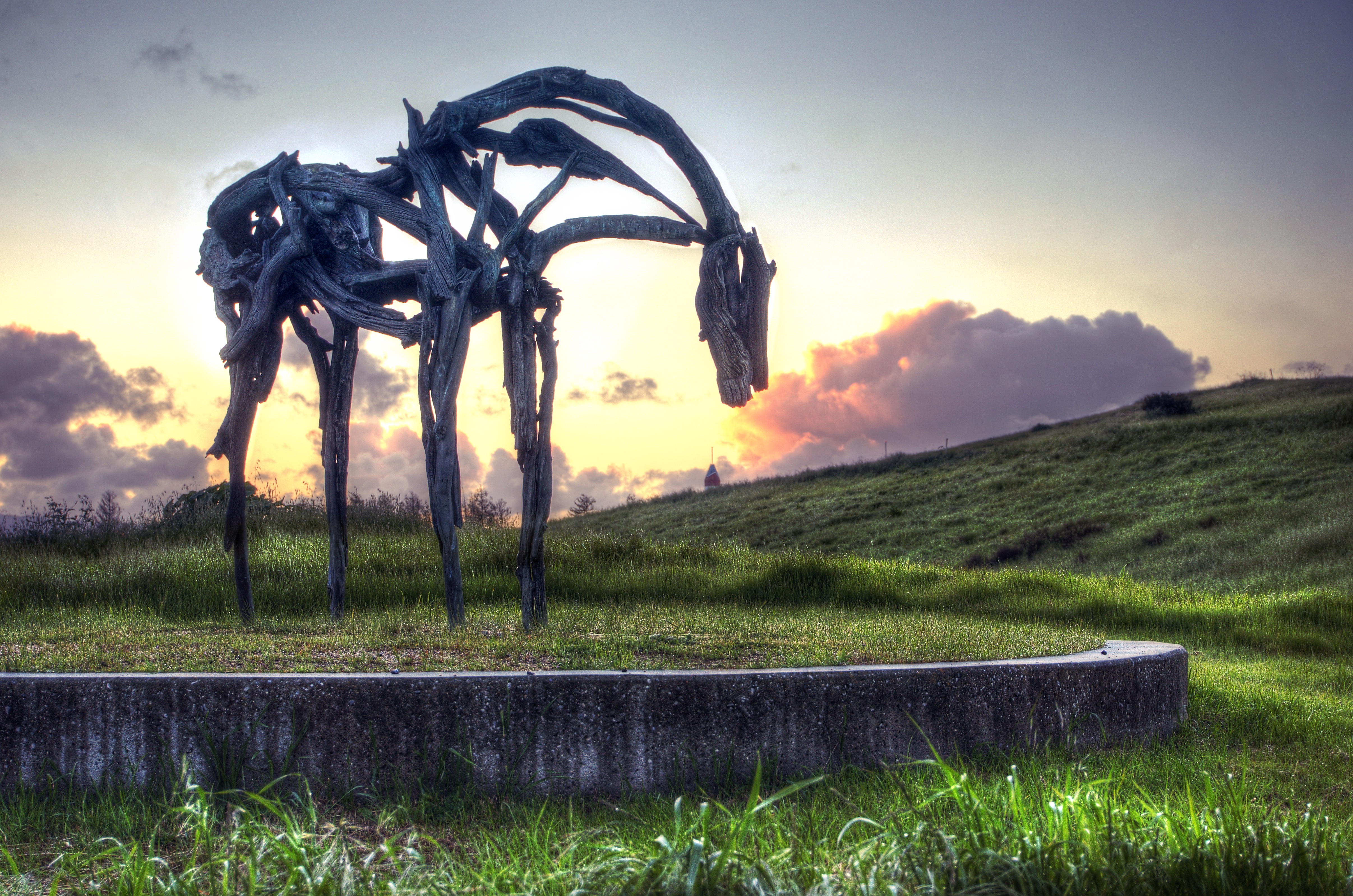
Bronze Horse by Deborah Butterfield

Color On Weathered Grey
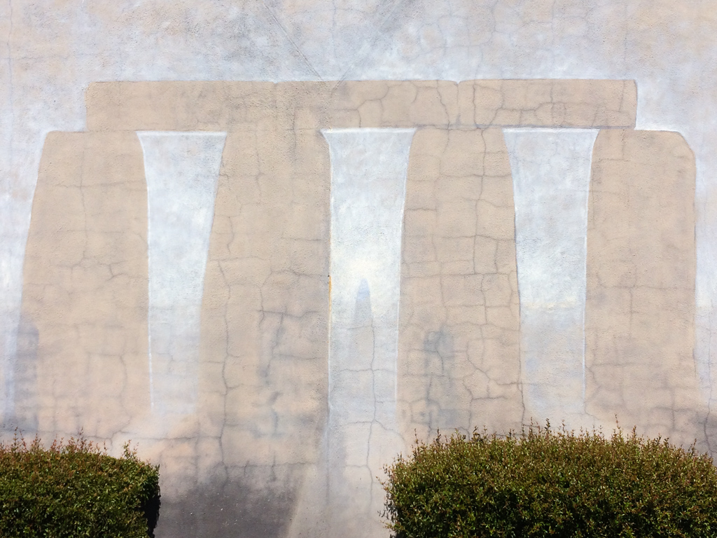
Stonehenge In Mountain View
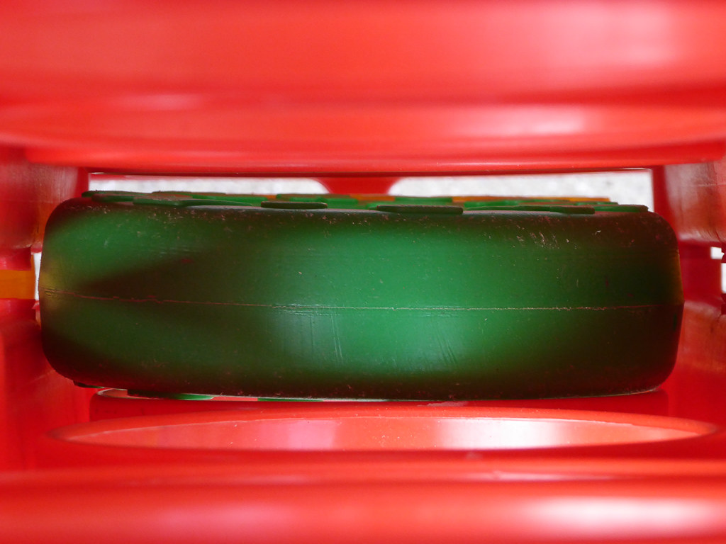
Plastic Lifesaver
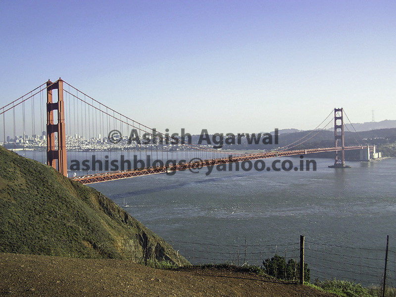
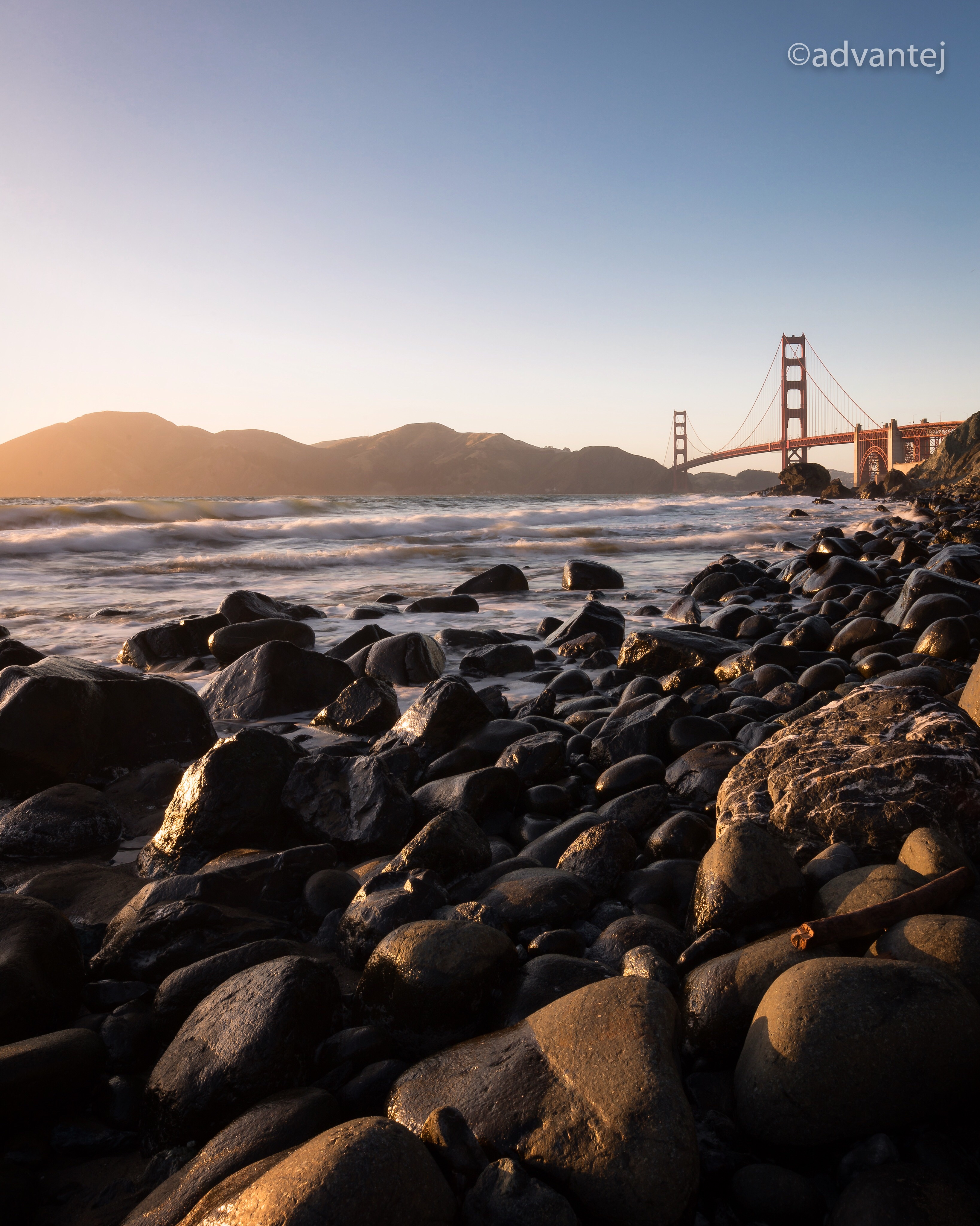
View of the Golden Gate Bridge and San Francisco from a distance
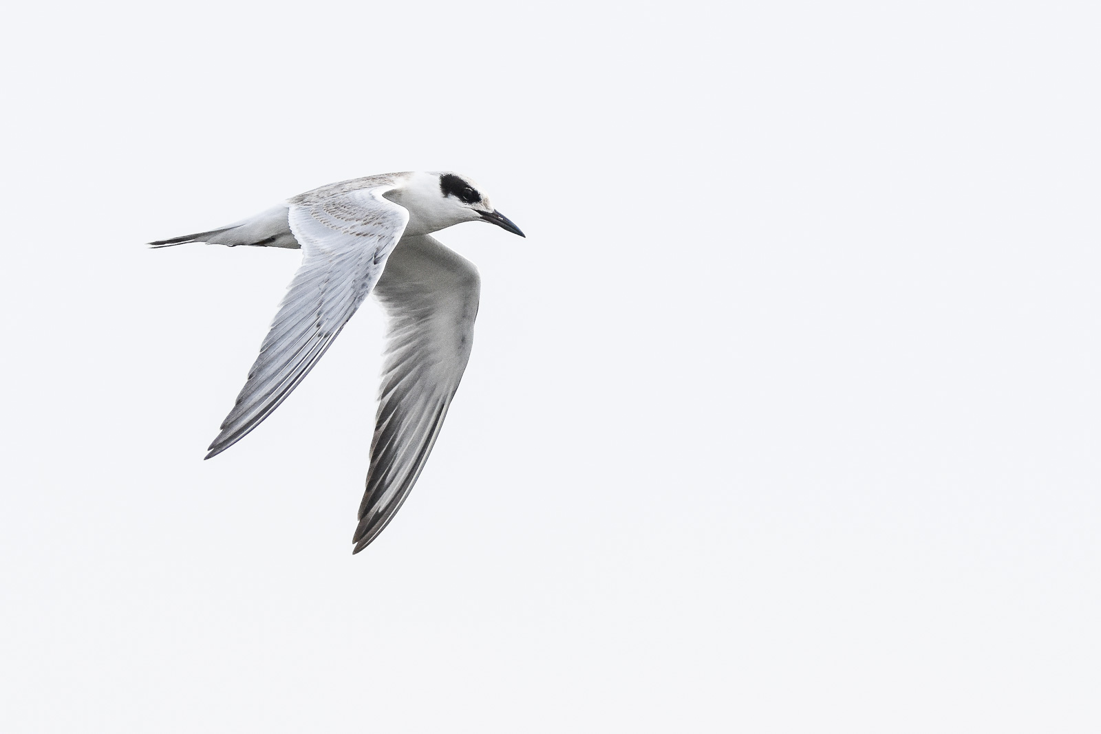
Forster's Tern (1st year)

Proficient dive bomber - Forster's Tern
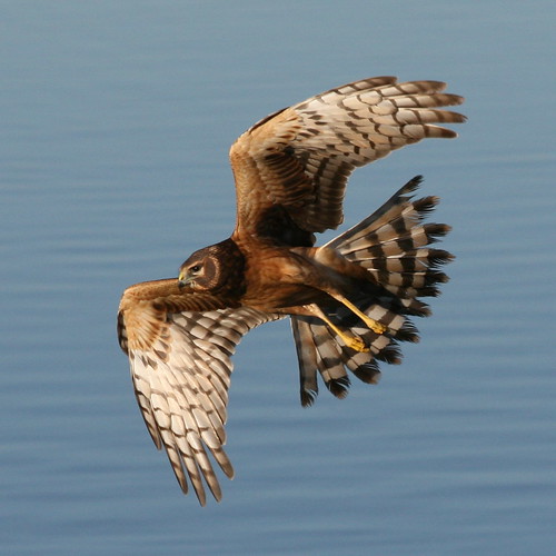
Northern Harrier-IMG_1671-MV baylands-Crop

Door of opportunities :)

Stop. Look. Enjoy.
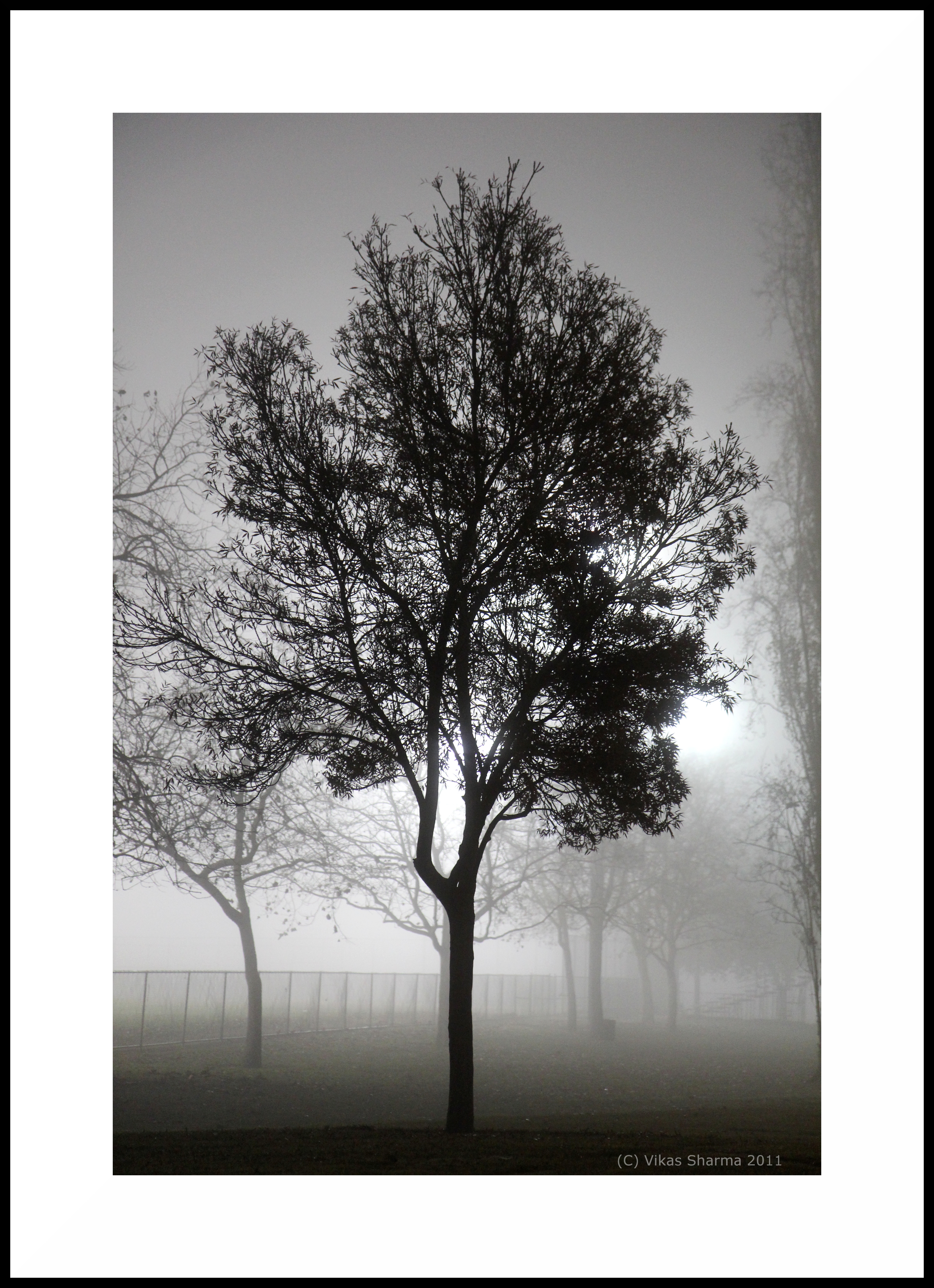
A foggy night in California
Finally a nice weather in weekend

Great Long, Slow Day on the LG Creek Trail. The #408 has the best weather in the Bay Area #TeamRunTheBay #RunLocal #GetOnnit #nikeplus

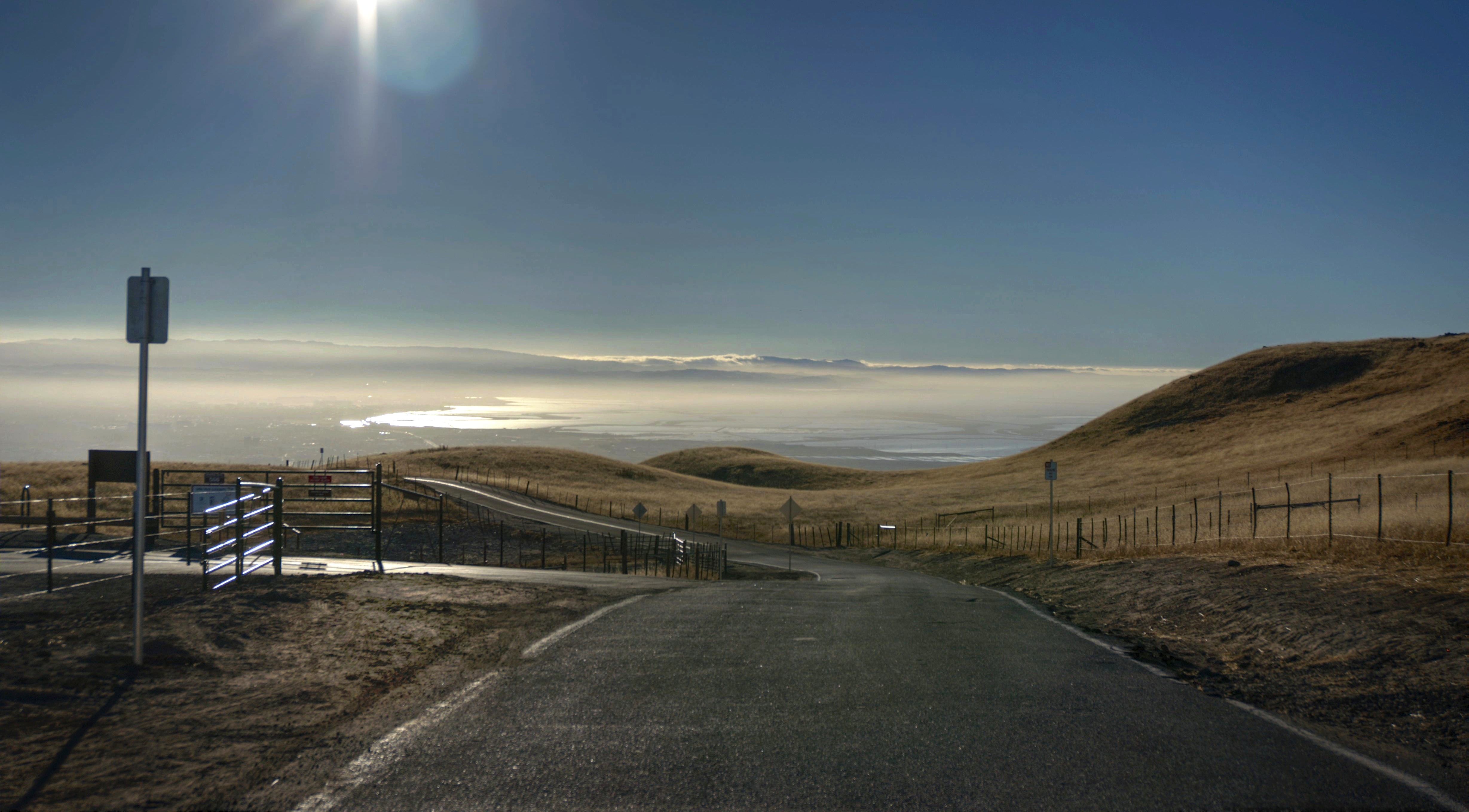
Calaveras Road

~~Garden of PEACE #2~~

My Favorite Tree
Back to the future
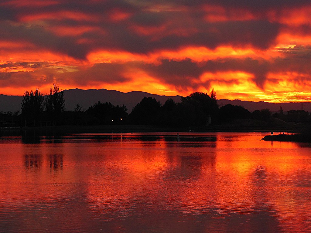
~ The SKY Is On FIRE #1 ~

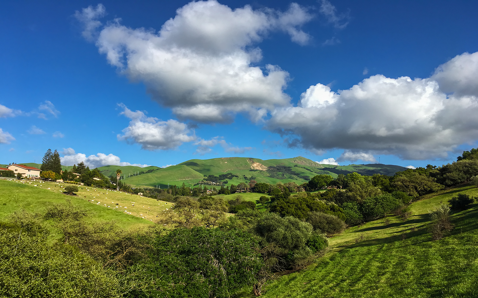
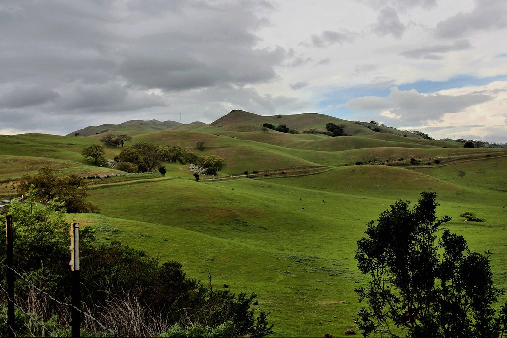
Green Pastors
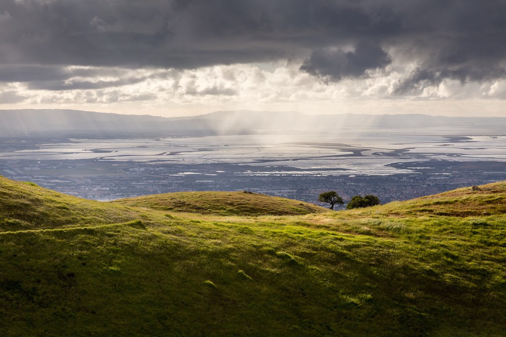
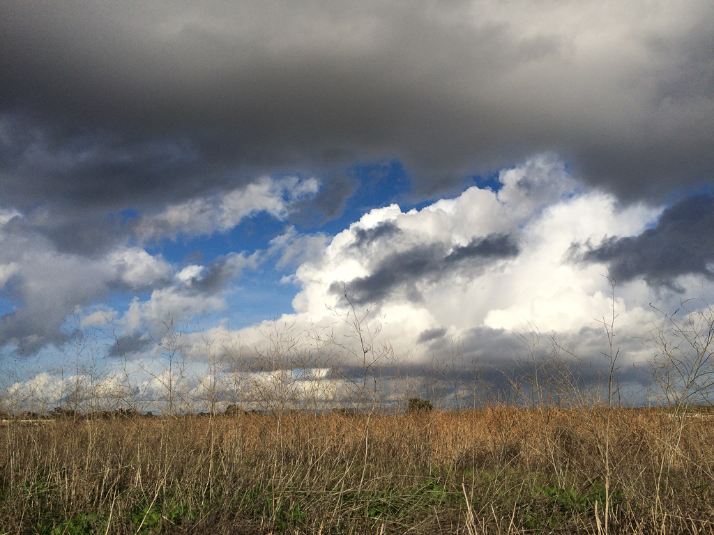
Scattered Showers
Central Park
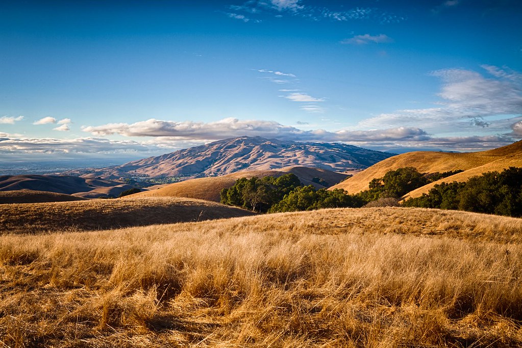
Clouds Over Mission Peak
Palo Alto Baylands

Shade and reflections

Another fence #california
iPhone 5se test
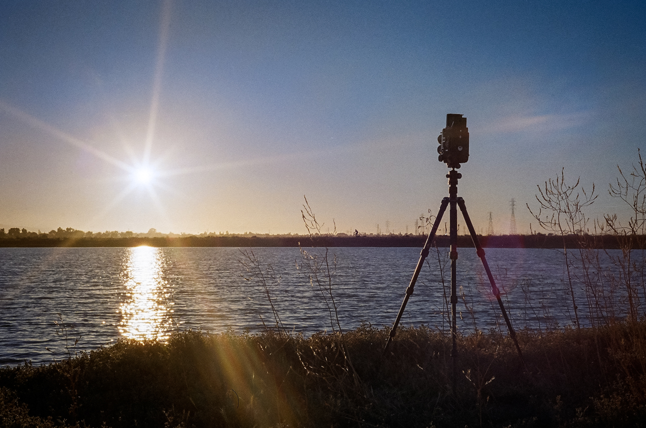
Waiting for the analog sunset
Calaveras Hills
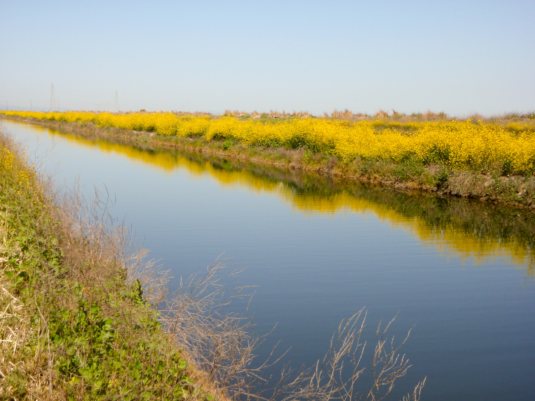
Sunnyvale sewage treatment ponds
Topographic Map of Calle Del Mundo, Santa Clara, CA, USA
Find elevation by address:

Places near Calle Del Mundo, Santa Clara, CA, USA:
5123 Calle Del Sol
2200 Calle De Luna
4949 Centennial Blvd
San Francisco 49ers
4900 Marie P Debartolo Way
Levi's Stadium
4878 Avenida De Los Arboles
Summerland Dr, San Jose, CA, USA
4182 Sophia Way
2600 Great America Way
5201 Great America Pkwy
4644 Mangrum Dr
4110 N 1st St
4701 Great America Pkwy
5488 Marvell Ln
Us-sjc-disk5079
5214 Betsy Ross Dr
150 Baytech Dr
Gold Street
80 Rose Orchard Way
Recent Searches:
- Elevation of 10370, West 107th Circle, Westminster, Jefferson County, Colorado, 80021, USA
- Elevation of 611, Roman Road, Old Ford, Bow, London, England, E3 2RW, United Kingdom
- Elevation of 116, Beartown Road, Underhill, Chittenden County, Vermont, 05489, USA
- Elevation of Window Rock, Colfax County, New Mexico, 87714, USA
- Elevation of 4807, Rosecroft Street, Kempsville Gardens, Virginia Beach, Virginia, 23464, USA
- Elevation map of Matawinie, Quebec, Canada
- Elevation of Sainte-Émélie-de-l'Énergie, Matawinie, Quebec, Canada
- Elevation of Rue du Pont, Sainte-Émélie-de-l'Énergie, Matawinie, Quebec, J0K2K0, Canada
- Elevation of 8, Rue de Bécancour, Blainville, Thérèse-De Blainville, Quebec, J7B1N2, Canada
- Elevation of Wilmot Court North, 163, University Avenue West, Northdale, Waterloo, Region of Waterloo, Ontario, N2L6B6, Canada
- Elevation map of Panamá Province, Panama
- Elevation of Balboa, Panamá Province, Panama
- Elevation of San Miguel, Balboa, Panamá Province, Panama
- Elevation of Isla Gibraleón, San Miguel, Balboa, Panamá Province, Panama
- Elevation of 4655, Krischke Road, Schulenburg, Fayette County, Texas, 78956, USA
- Elevation of Carnegie Avenue, Downtown Cleveland, Cleveland, Cuyahoga County, Ohio, 44115, USA
- Elevation of Walhonding, Coshocton County, Ohio, USA
- Elevation of Clifton Down, Clifton, Bristol, City of Bristol, England, BS8 3HU, United Kingdom
- Elevation map of Auvergne-Rhône-Alpes, France
- Elevation map of Upper Savoy, Auvergne-Rhône-Alpes, France