Elevation of Gold St & Catherine St, San Jose, CA, USA
Location: United States > California > Santa Clara County > San Jose > Alviso >
Longitude: -121.97608
Latitude: 37.4272047
Elevation: 1m / 3feet
Barometric Pressure: 101KPa
Elevation Map:
Satellite Map:
Related Photos:
Fire breathing dragon

IMG_5922 Forster's Tern Hovering, Mountain View Shoreline Park, California
views for days ???? #raggedpoint #bigsur #hiking #landscape #wilderness #optoutside #california
Late Again....
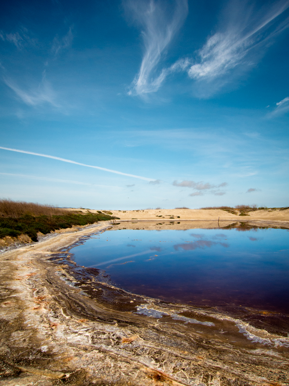
Cracked Earth
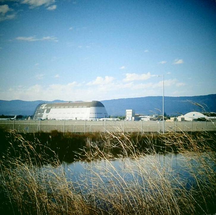
Hanger One
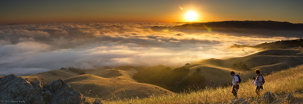
Dawn Hikers - Mission Peak
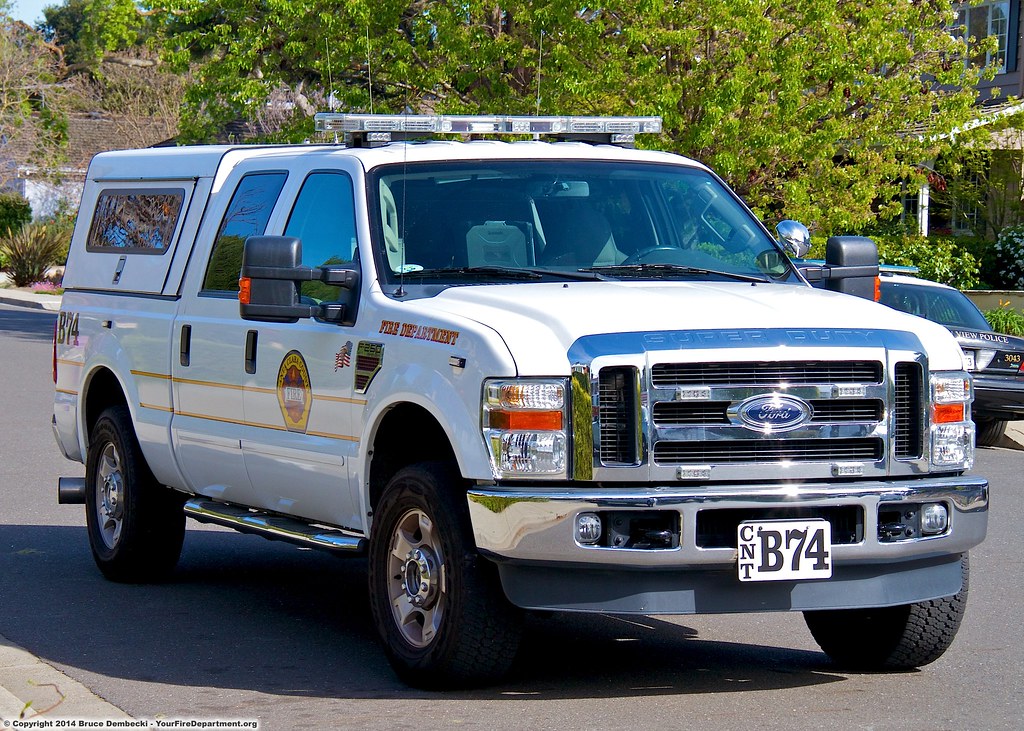
CNT Battalion 74

All Points Lead To...
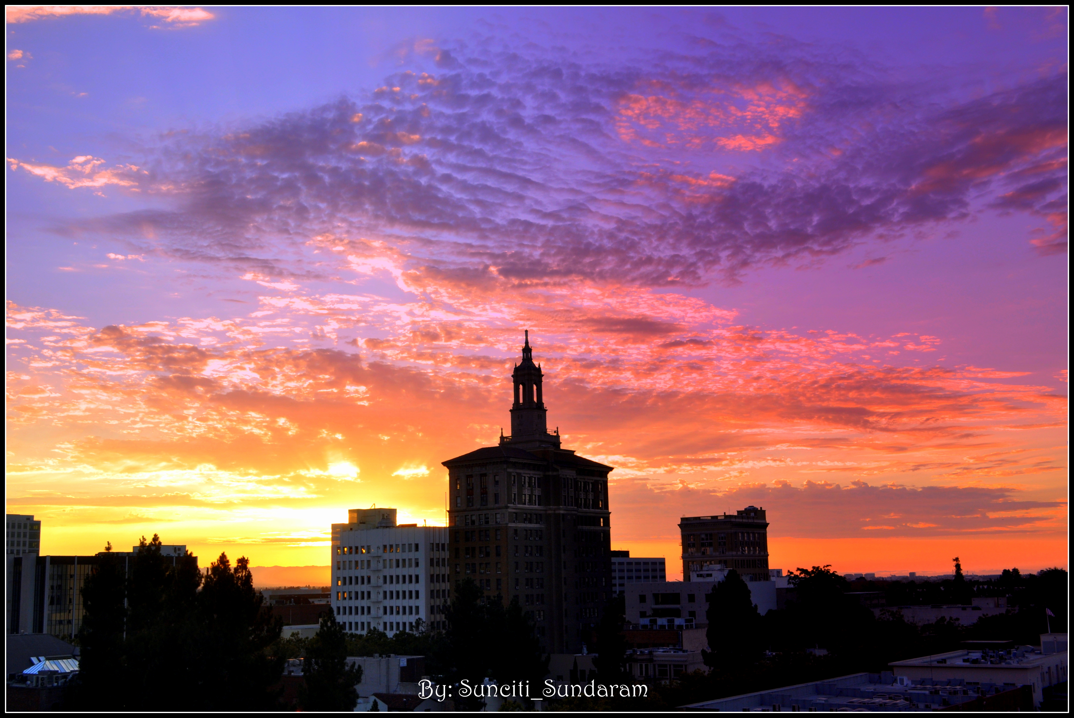
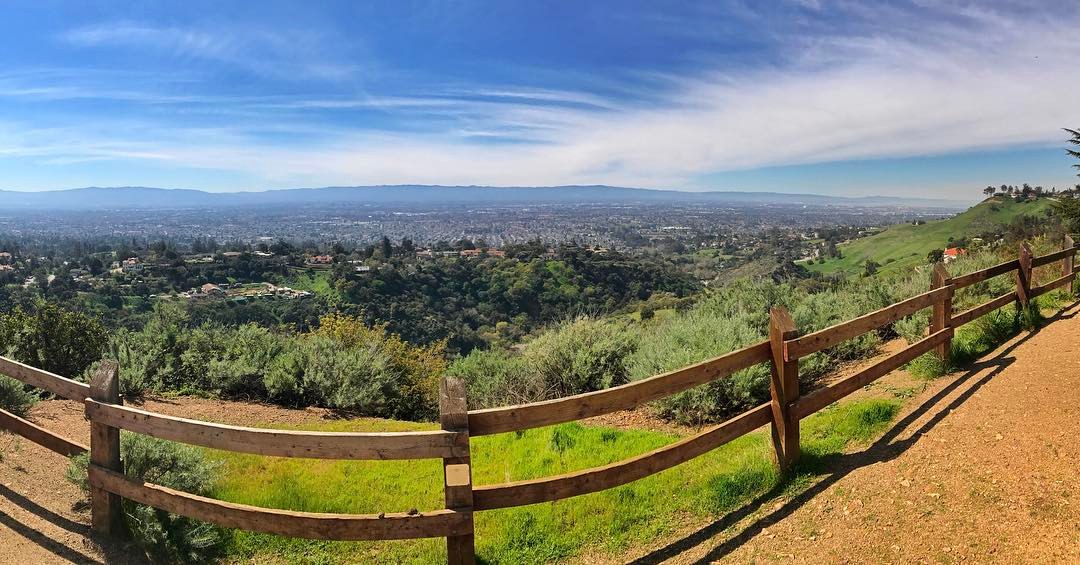
Tower And Vivid Skyscape,,,,,,A Window View From Down Town, San Jose.

IMG_1380 Let Me Feed You, Honey.
What a cute kid :)

Mary Avenue Bridge

DSC01246.JPG
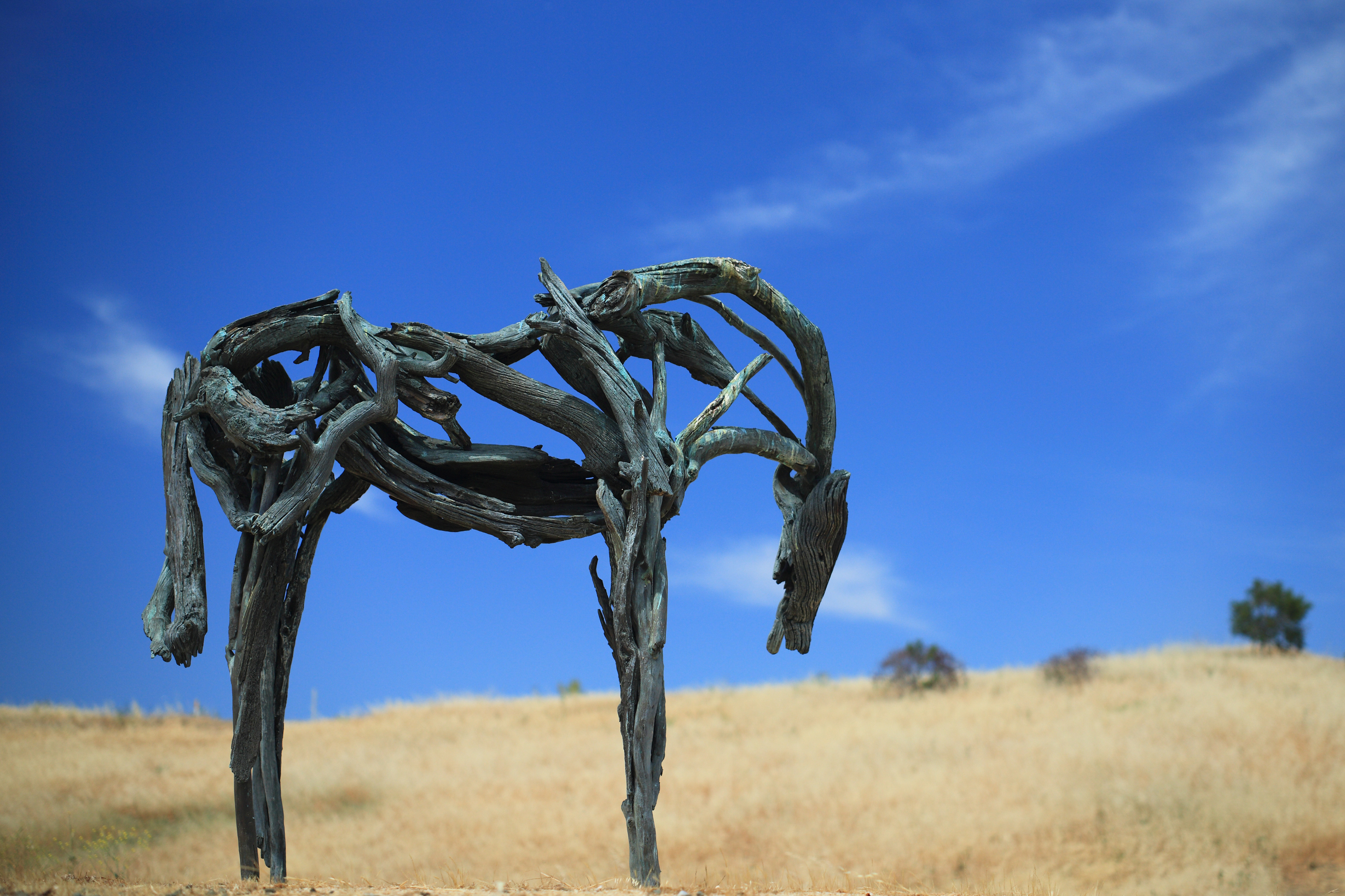
Bronze Horse by Deborah Butterfield
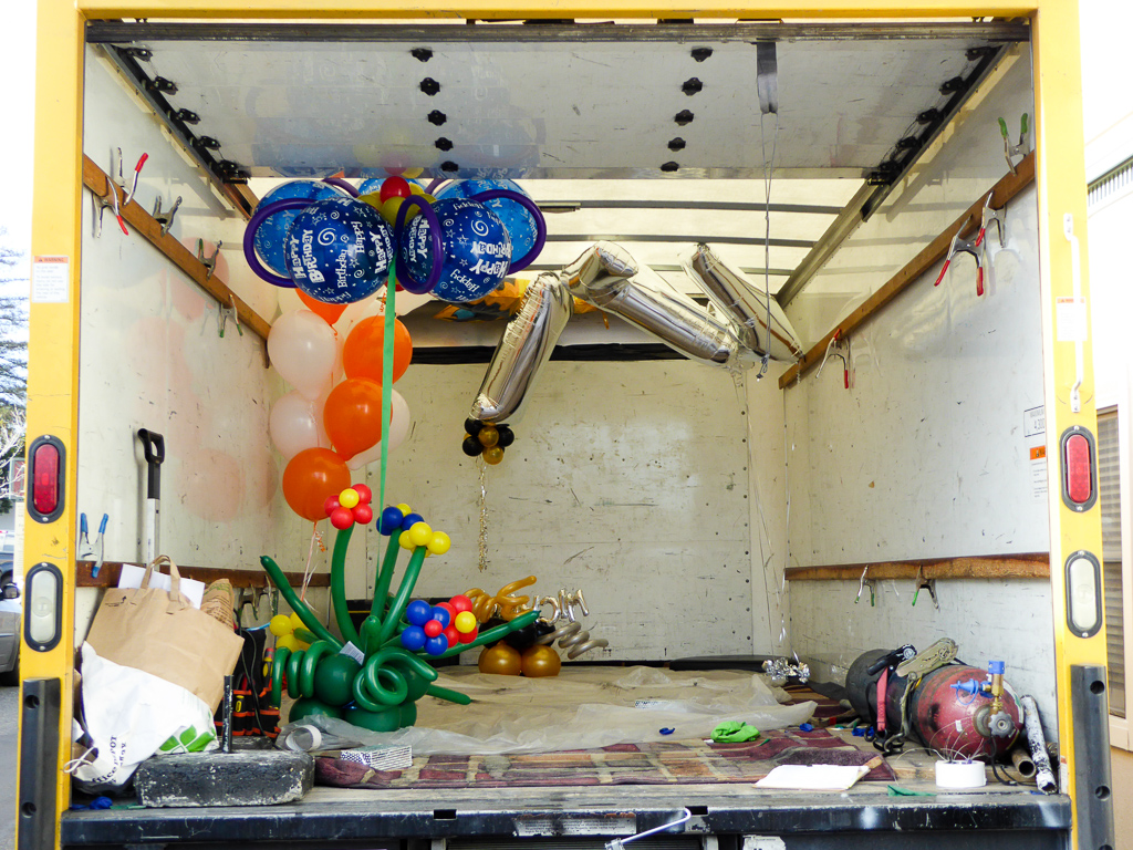
Balloons In A Truck

IMG_2314 Forster's Tern

IMG_1868 Forster's Tern, Mountain View Shoreline Park, CA
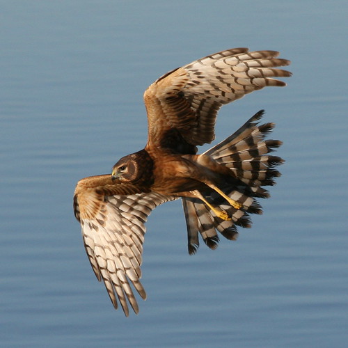
Northern Harrier-IMG_1671-MV baylands-Crop
A Walk to Rengstorff House (circa 1867) (HFF)
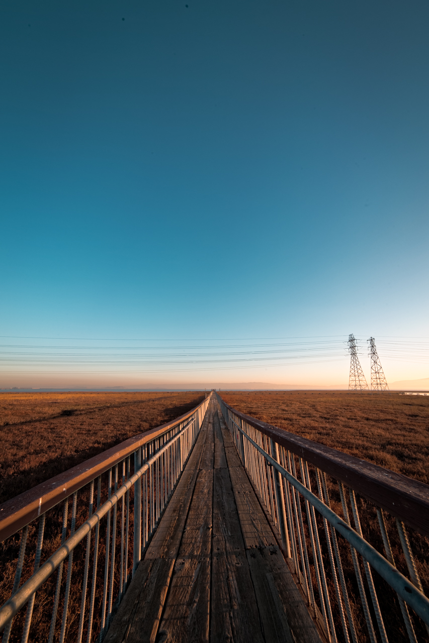
Long Walks on Short Piers
WP_20170511_05_46_28_Pro (2)
iPhone 5se test
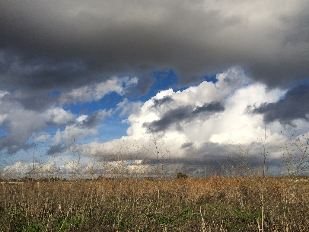
Scattered Showers

Easy way down

There is something about nature that makes me feel happy.

iPhoneography #84
Mind the Gaps

Geese (HSS)
Disappearing Act

Door of opportunities :)

Stop. Look. Enjoy.
Finally a nice weather in weekend

Great Long, Slow Day on the LG Creek Trail. The #408 has the best weather in the Bay Area #TeamRunTheBay #RunLocal #GetOnnit #nikeplus

Calaveras Road
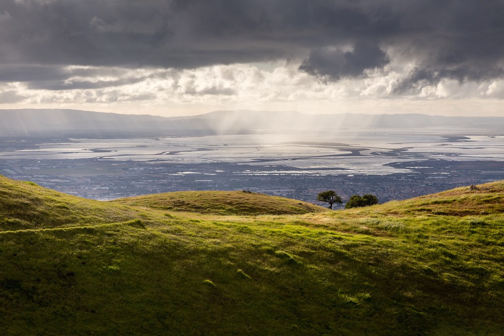
Palo Alto Baylands

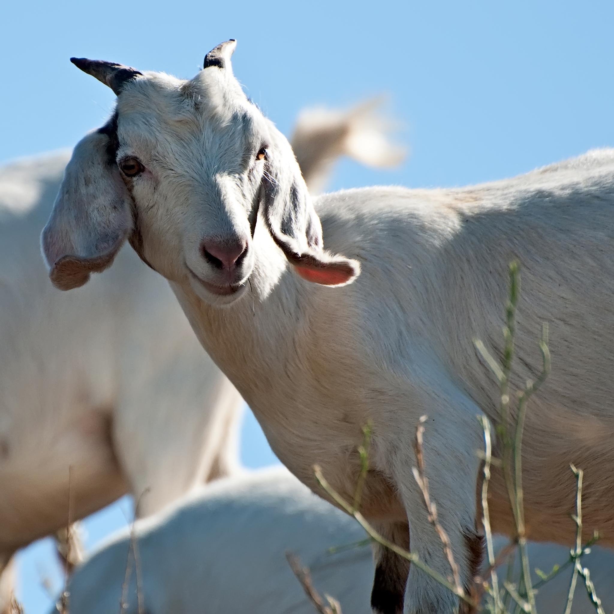
Green Pastors

#sunolregionalwilderness was the scene of our #Spring walk today. We found a waterfall along the #canyonviewtrail.

The fog started breaking up yielding scenes like this. The traction as velvety on this trail, I am already looking forward to Saturday's race! #BrazenRacing #CoyoteHills
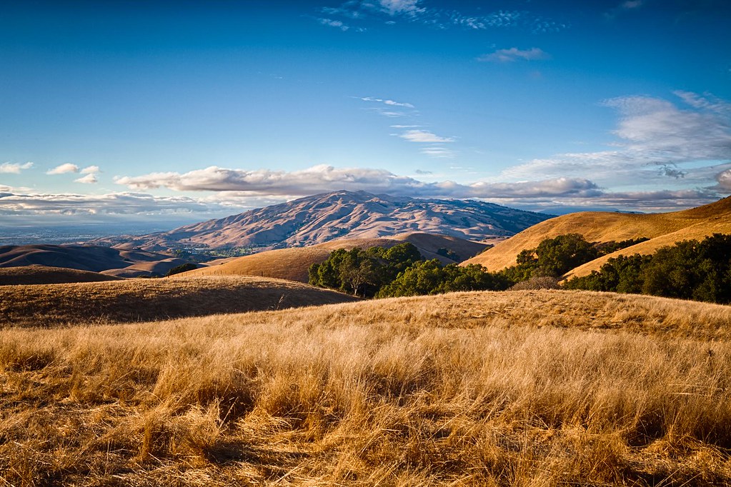
Clouds Over Mission Peak
Central Park
Topographic Map of Gold St & Catherine St, San Jose, CA, USA
Find elevation by address:

Places near Gold St & Catherine St, San Jose, CA, USA:
Gold St & Catherine St
Gold St & Catherine St
Gold St & Catherine St
Alviso
1279 Wabash St
Gold Street
1355 State St
1430 Grand Blvd
1521 State St
1598 Michigan Ave
2600 Great America Way
Us-sjc-disk5079
5488 Marvell Ln
Summerland Dr, San Jose, CA, USA
2322 Calle Del Mundo
5201 Great America Pkwy
4182 Sophia Way
2200 Calle De Luna
5214 Betsy Ross Dr
5123 Calle Del Sol
Recent Searches:
- Elevation of Corso Fratelli Cairoli, 35, Macerata MC, Italy
- Elevation of Tallevast Rd, Sarasota, FL, USA
- Elevation of 4th St E, Sonoma, CA, USA
- Elevation of Black Hollow Rd, Pennsdale, PA, USA
- Elevation of Oakland Ave, Williamsport, PA, USA
- Elevation of Pedrógão Grande, Portugal
- Elevation of Klee Dr, Martinsburg, WV, USA
- Elevation of Via Roma, Pieranica CR, Italy
- Elevation of Tavkvetili Mountain, Georgia
- Elevation of Hartfords Bluff Cir, Mt Pleasant, SC, USA